JULIANA TRAIL – Stage 18: Planinski dom Pod Ježo (mountain hut) – Korada


- Brief description
-
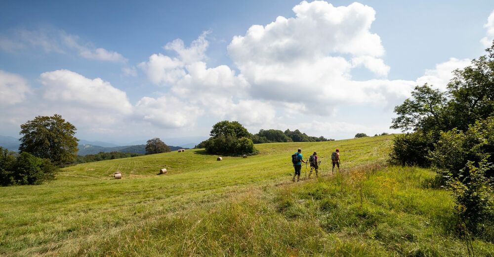
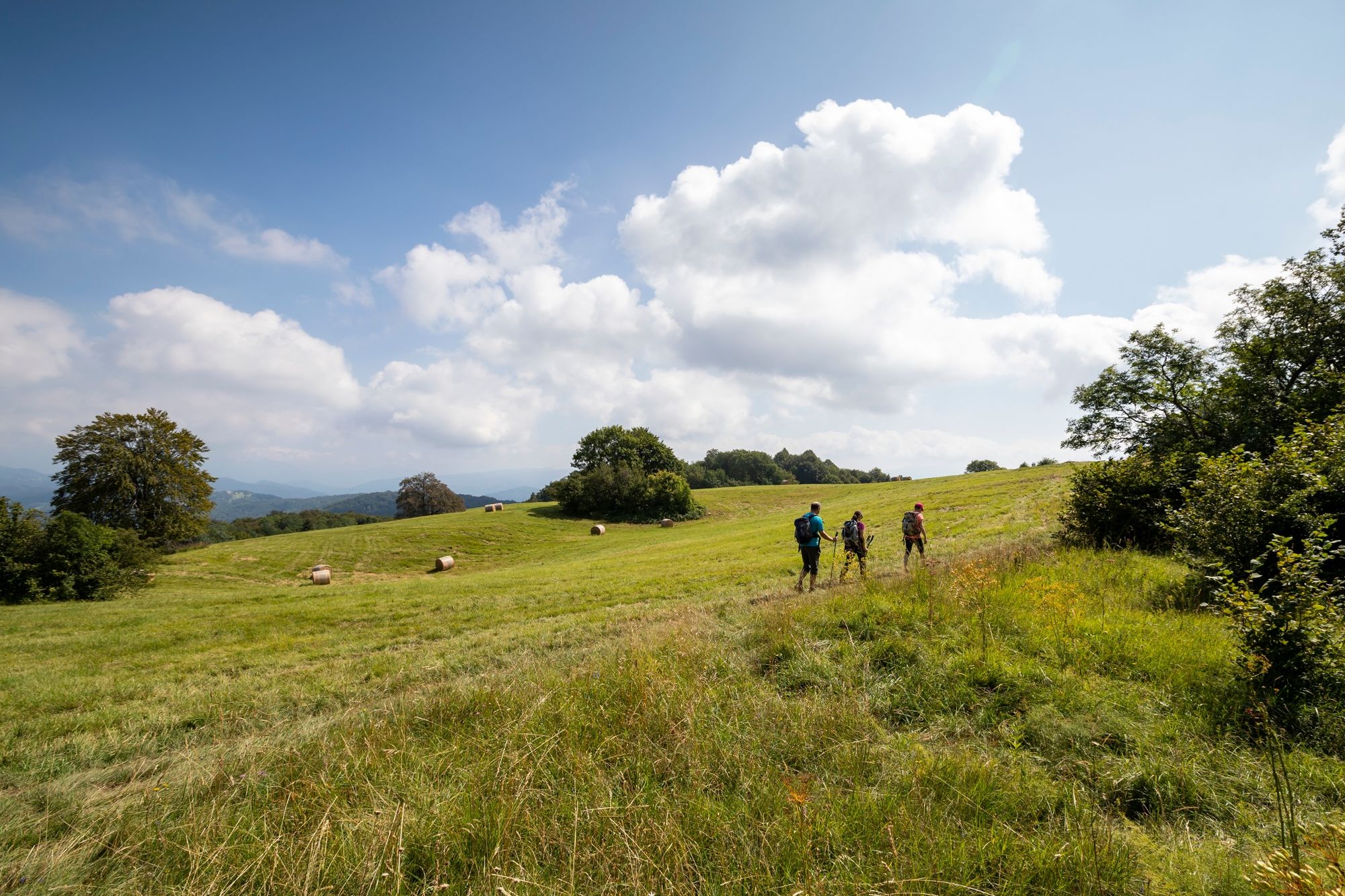
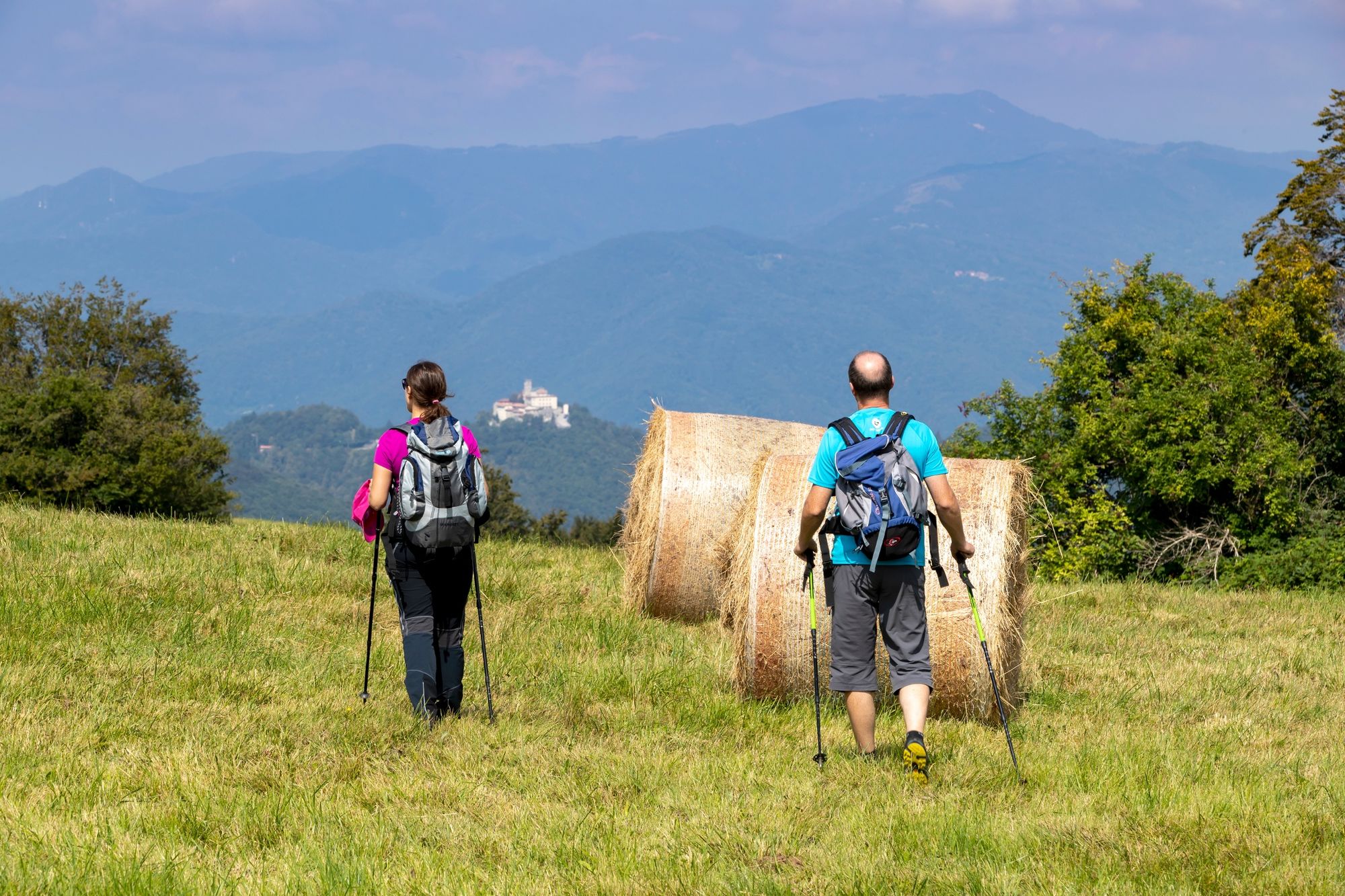
Stage 18 runs along the Kolovrat ridge and offers a beautiful panoramic view of the Julian Alps, the Soča Valley, Veneto and the Friuli Plain, all the way to the Adriatic.
- Difficulty
-
medium
- Rating
-
- Starting point
-
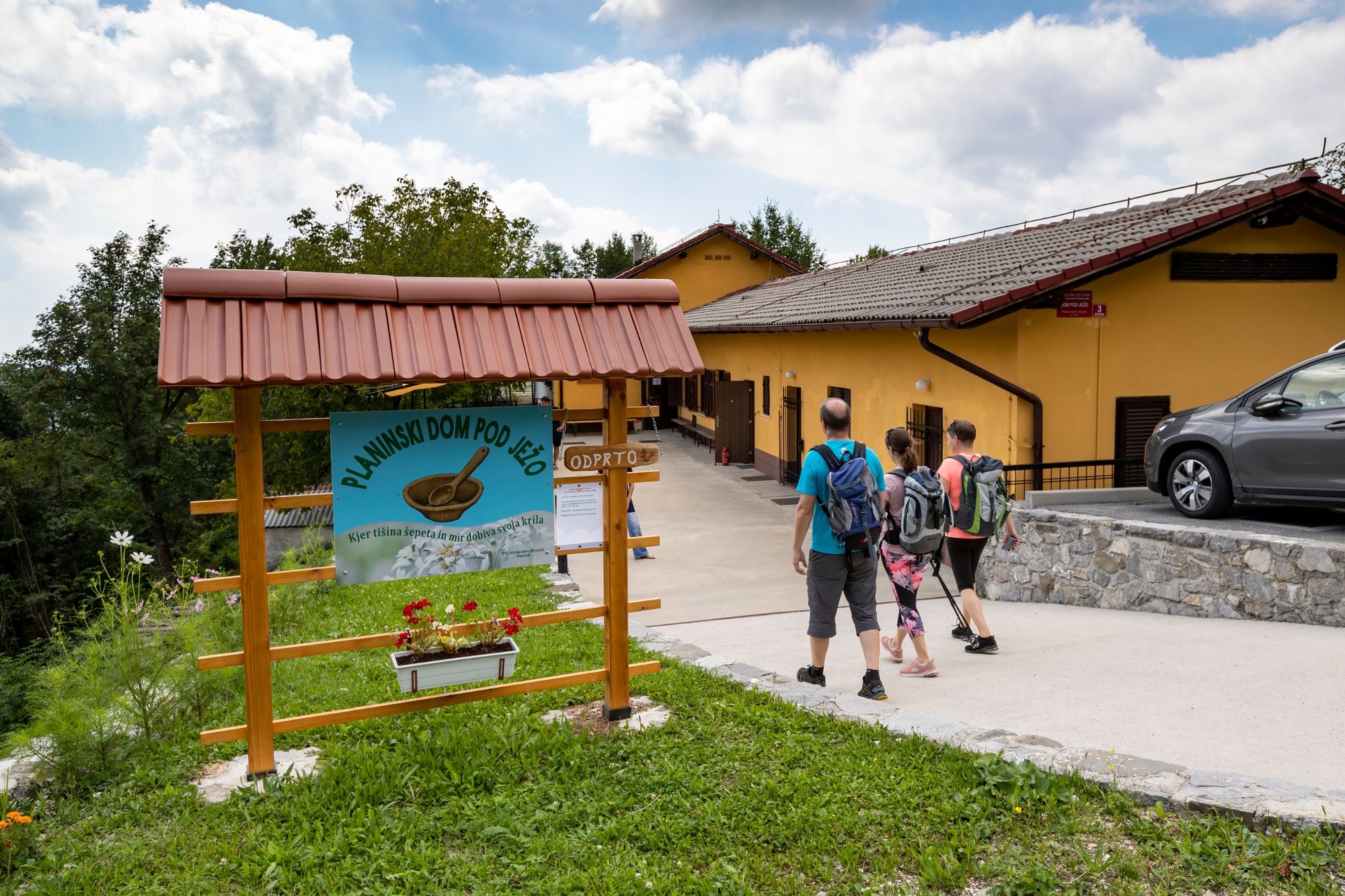
Planinski dom Pod Ježo (mountain hut, 747 m)
- Route
-
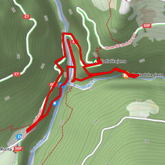
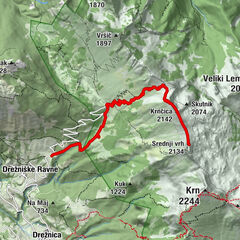
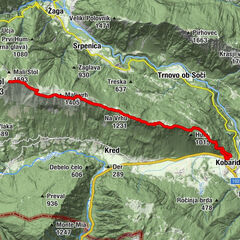
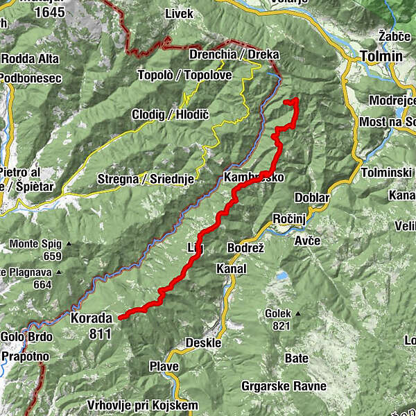
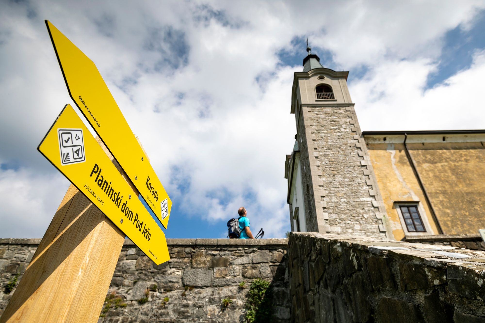
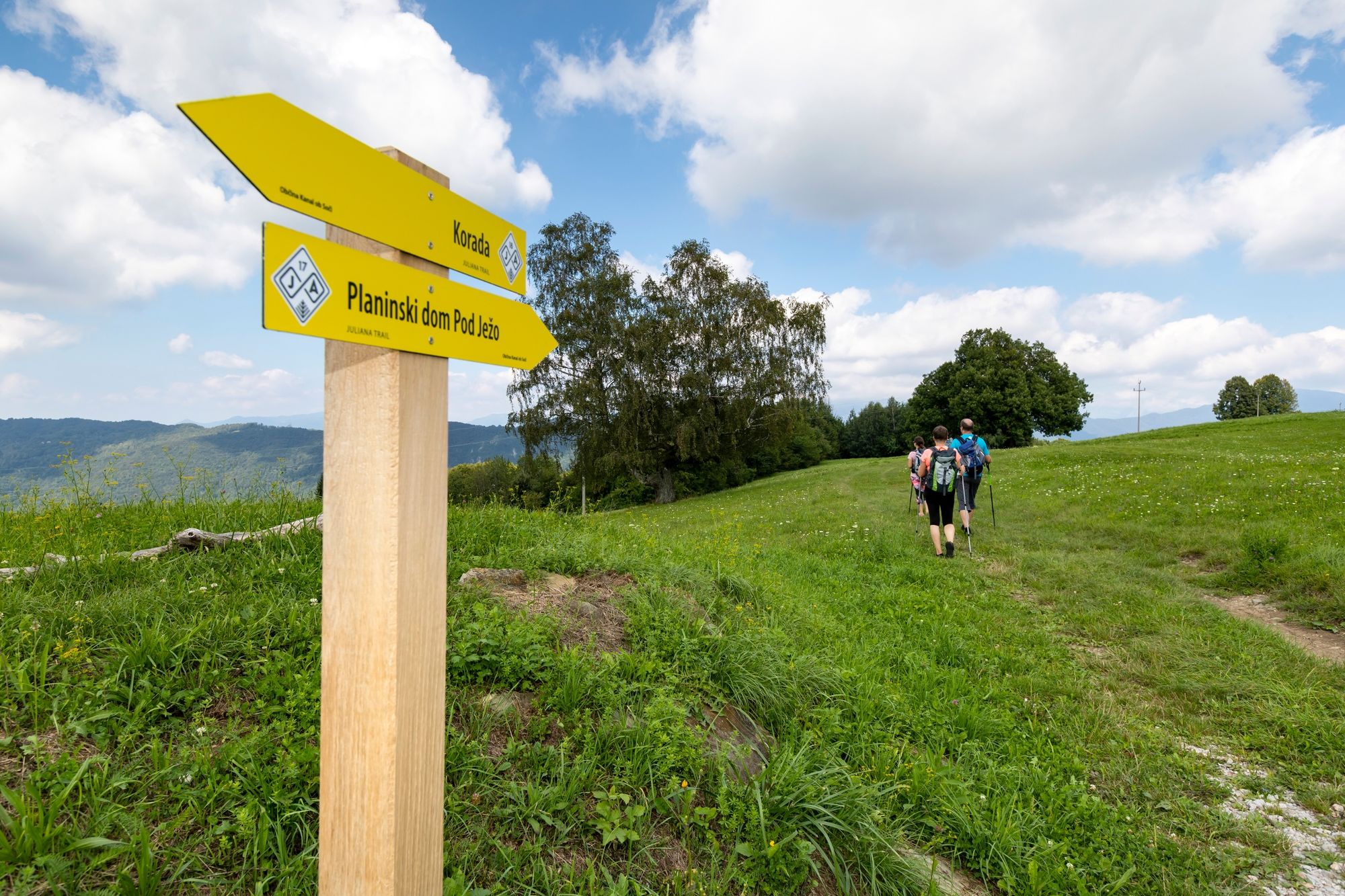
Cusciari0.4 kmVogrinchi1.3 kmPusno3.6 kmCerkev sv. Trojice4.6 kmSrednje4.7 kmGlobočak (809 m)6.0 kmPlatne (746 m)6.7 kmKambreško8.1 kmKukeč (641 m)9.9 kmCumeri10.0 kmČelo (663 m)11.1 kmGorenje Nekovo11.8 kmVrh (659 m)13.5 kmLiga di Canale14.0 kmMarijino Celje14.1 kmKuk (676 m)16.4 kmVrh (731 m)18.3 kmKorada (812 m)20.6 km
- Best season
-
JanFebMarAprMayJunJulAugSepOctNovDec
- Description
-
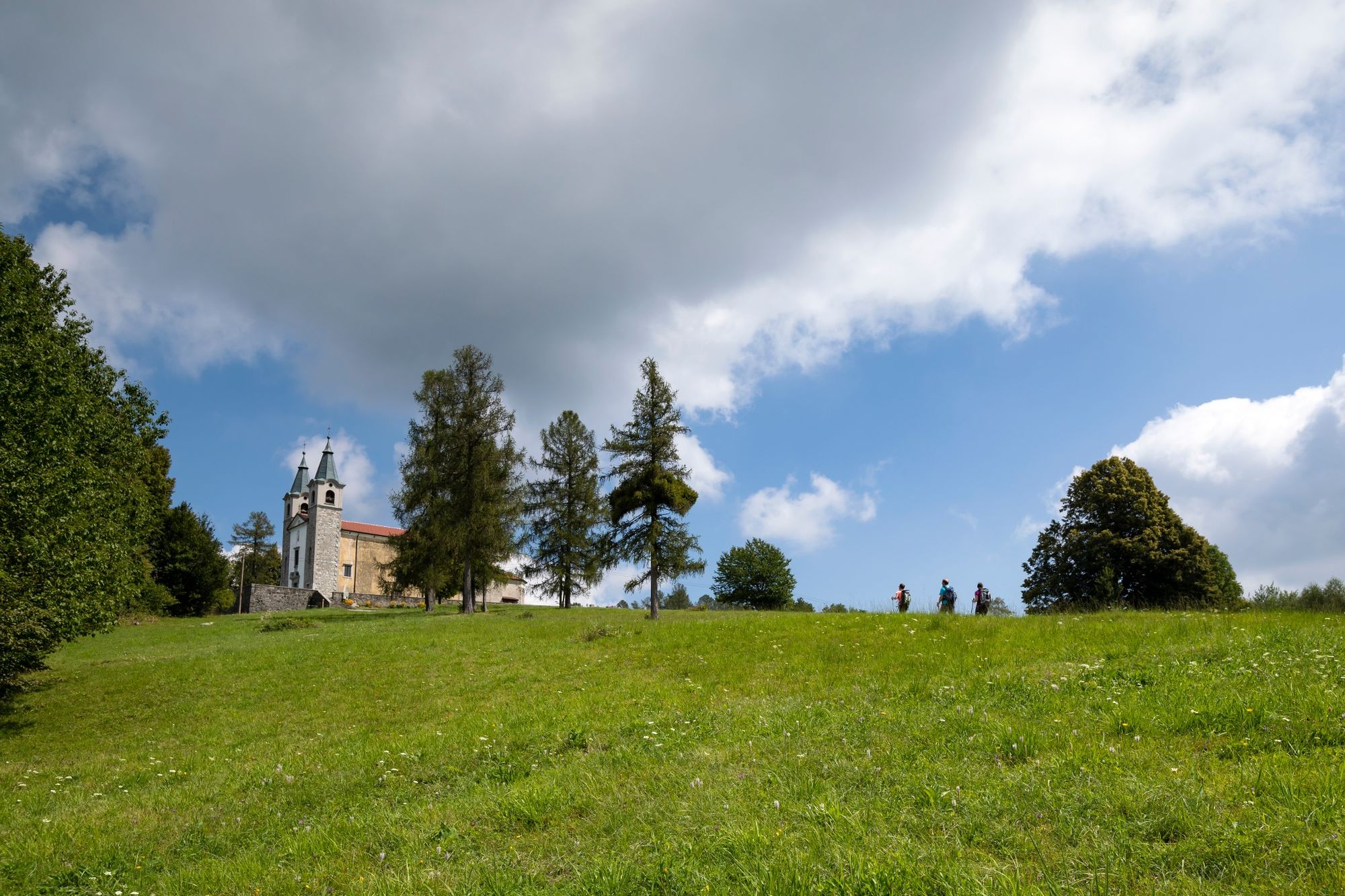
The exceptionally panoramic trail stage of moderate difficulty is part of the Walk of Peace from the Alps to the Adriatic, and part of the connecting Three Sanctuaries Trail.
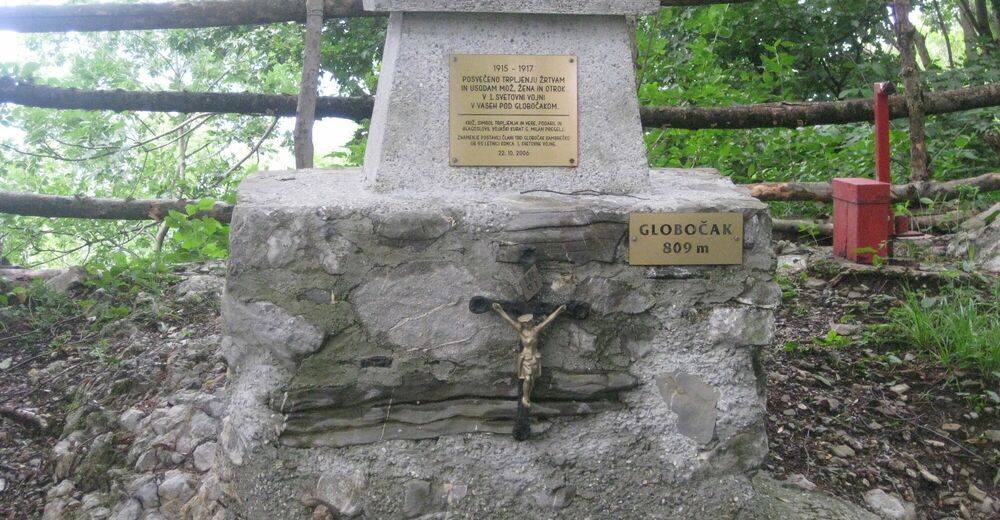
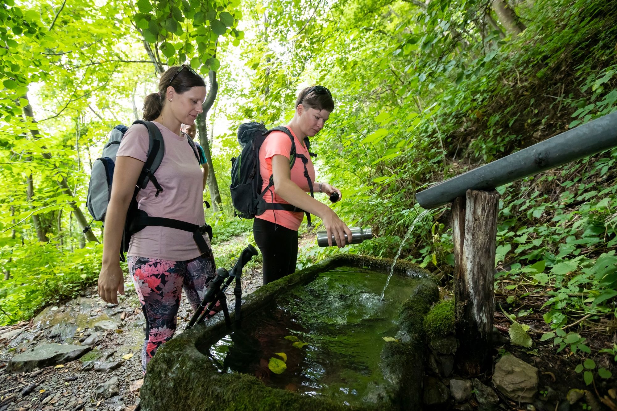
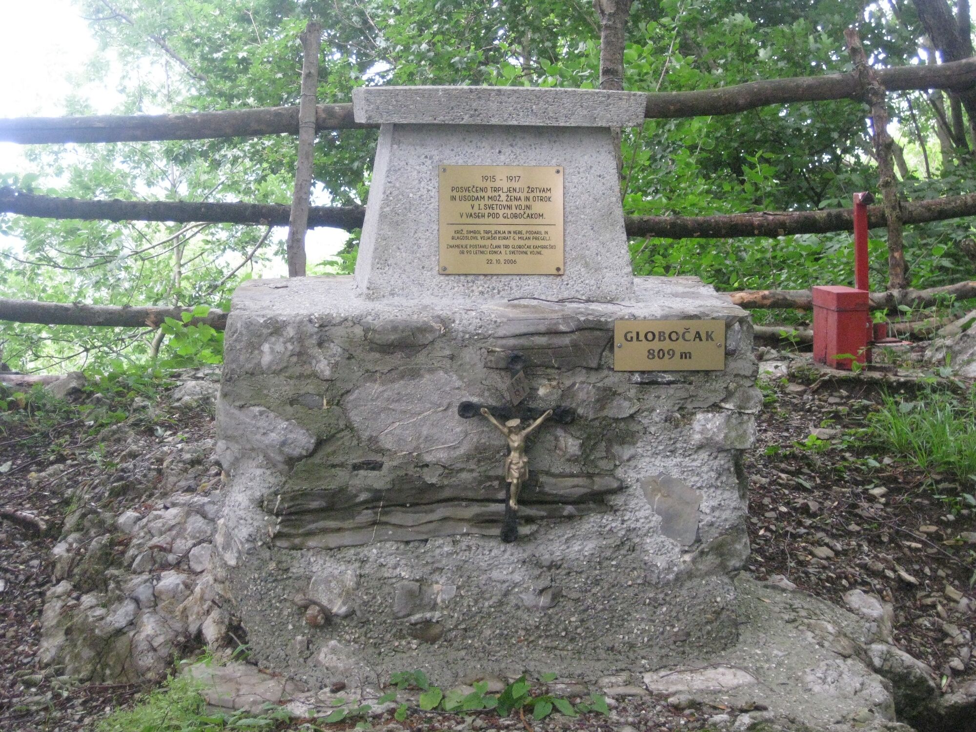
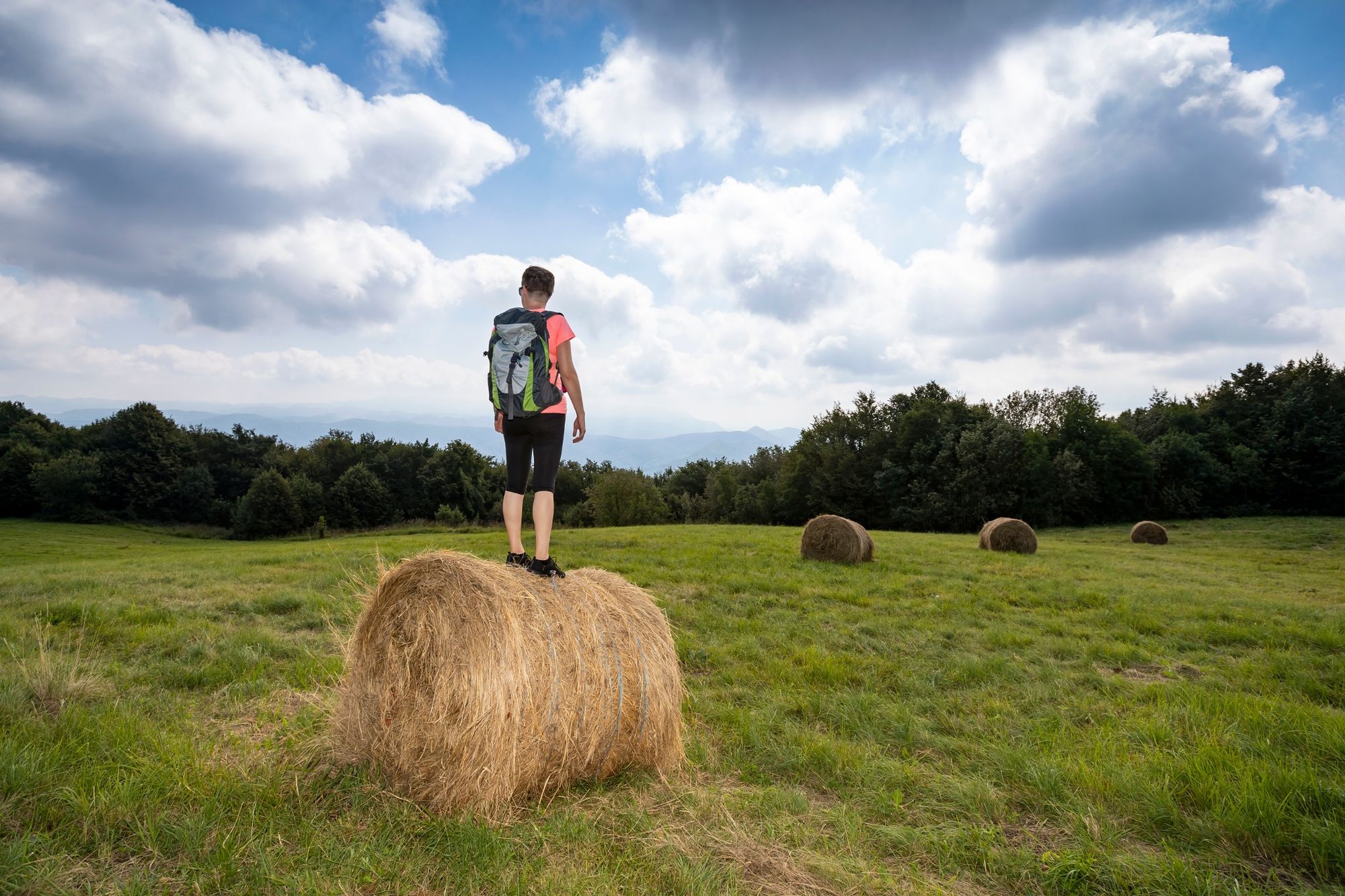
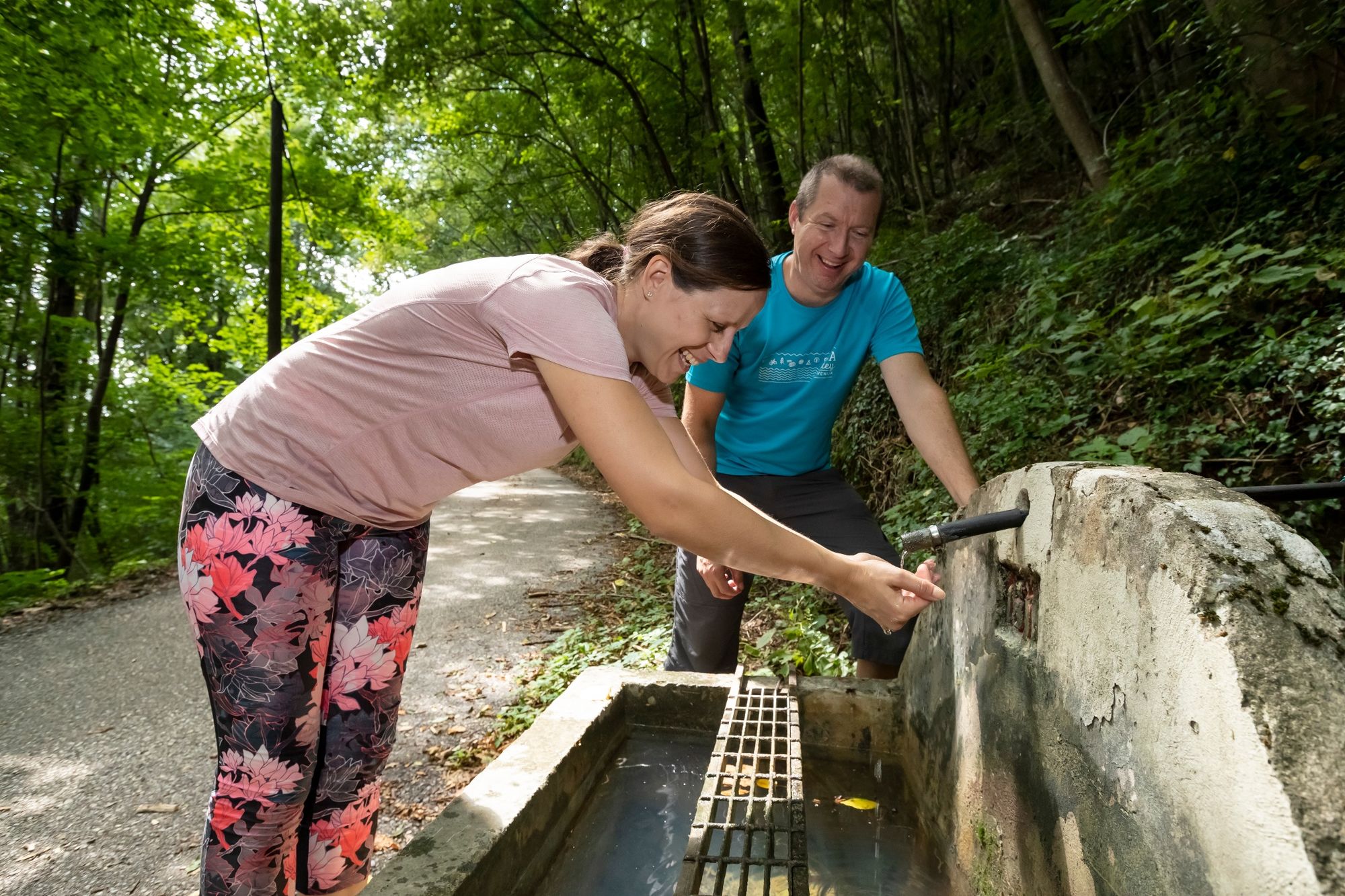
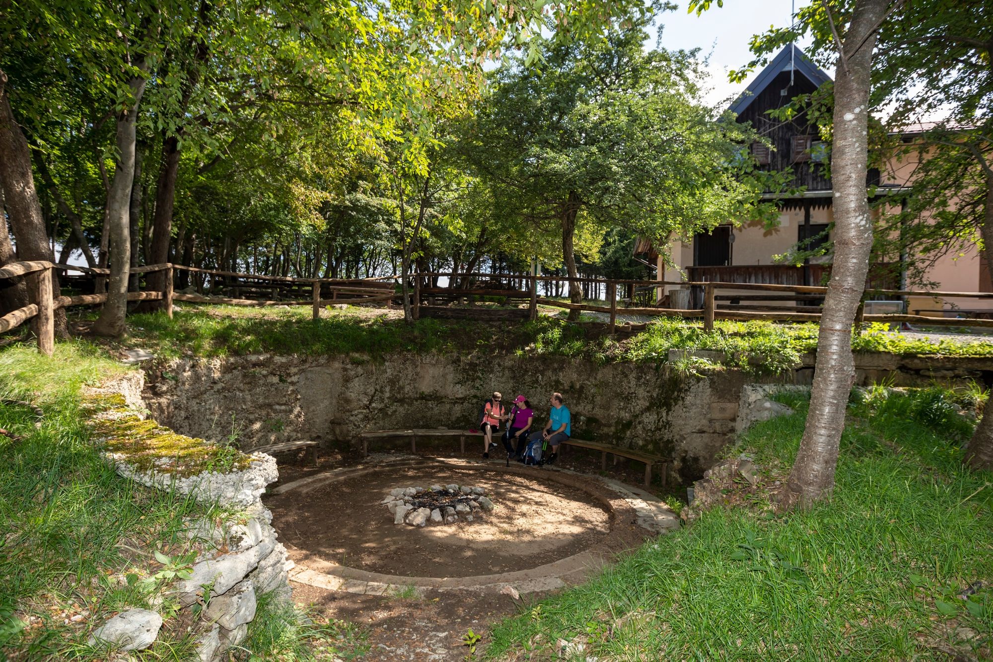
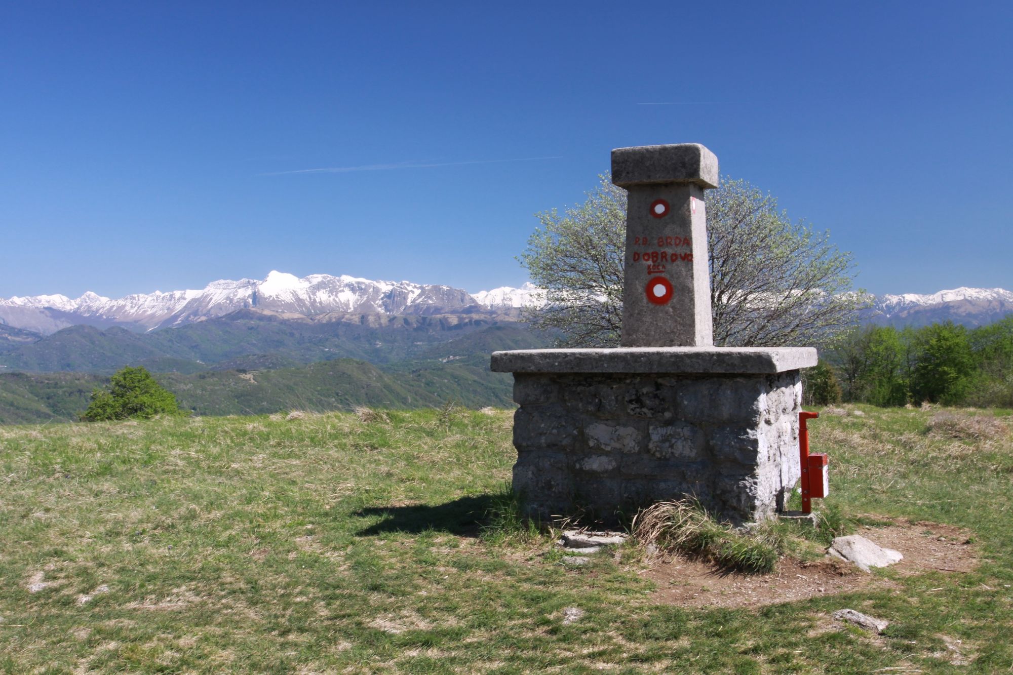
The Kolovrat ridge, which is the natural barrier between the Friuli Plain and the Soča Valley, was used by the military and made up the Isonzo Front. There are many remnants from that period along the trail, including road infrastructure, caverns, water troughs and water reservoirs. The fortified Italian positions at Globočak and the memorial site are quite interesting. The trail runs past the very interesting ethnological collection at the Lukec Homestead in Kambreško, where you can visit the kitchen with its stone fireplace that is an ethnological monument of local importance. Continue along the trail to the Marijino Celje pilgrimage centre in Lig and towards the Church of St Gendrca below Korada. At the top of Korada, which is the highest point of the stage, the Italian king, Victor Emmanuel III, and his generals observed the events at the front. From that point, you can take in the Julian Alps, the Soča Valley, Veneto and the Friuli Plain, as well as the Adriatic Sea.
Just before the end of the stage you can visit the “Na skednju” bar in Vrtače, where you can try local food. You can also stop at the shelter at Korada.
- Directions
-
The trail starts at the Pod Ježo mountain hut and follows the marked trail to Pušno and Srednje villages, from where you can ascend to Globočak. Continue the trail to Kambreško and past the villages of Humarji, Gorenje Nekovo and Lig to Korada.
- Highest point
- 810 m
- Endpoint
-
Korada
- Height profile
-
 © outdooractive.com
 - Equipment
-
Hiking equipment suitable for the weather and season.
- Safety instructions
-
The route is safe and waymarked.
- Tips
-
Visit:
Pušno drinking trough World War I remnants along the trail and at Globočak Lukec Homestead in Kambreško Marijino Celje pilgrimage centre in Lig St Jacob’s Church near Debenje St Gendrca Church near Korada Korada viewpointShorter sections are appropriate for families.
- Additional information
-
Freshen up at the “Na skednju” bar in Vrtače and at the mountain shelter at Korada.
- Directions
-
Access to the Pod Ježo mountain hut:
- Along the local road: Most na Soči–Sela pri Volčah–Volčanski Ruti–car park in front of the mountain hut.
- Along the regional and local road: Kanal–Ročinj–Kambreško–Srednje–car park in front of the mountain hut.
- From Volče or Livek: across the Solarji pass.
- Public transportation
-
No public transport.
- Parking
-
Car park in front of the mountain hut.


- Author
-
The tour JULIANA TRAIL – Stage 18: Planinski dom Pod Ježo (mountain hut) – Korada is used by outdooractive.com provided.