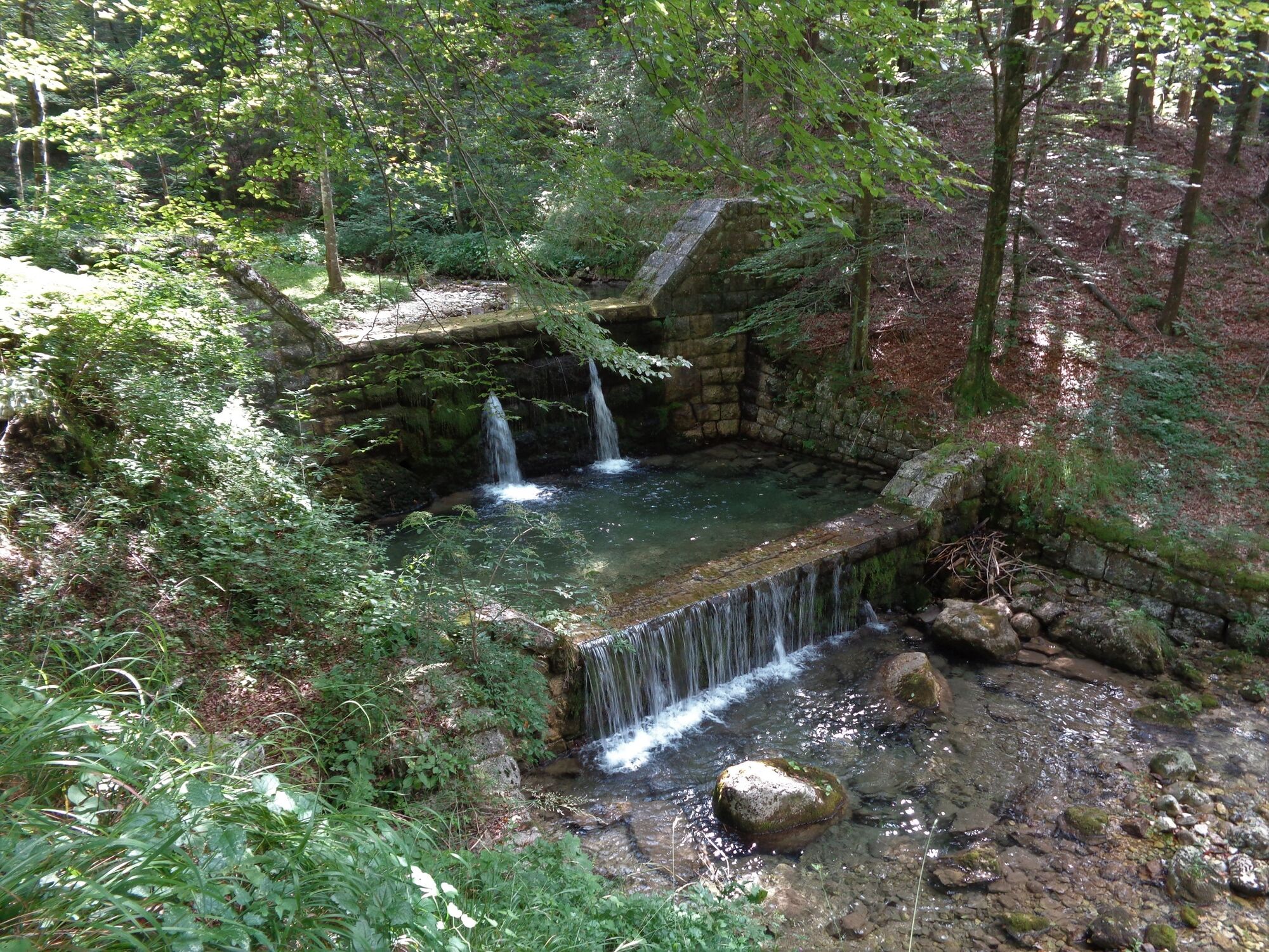
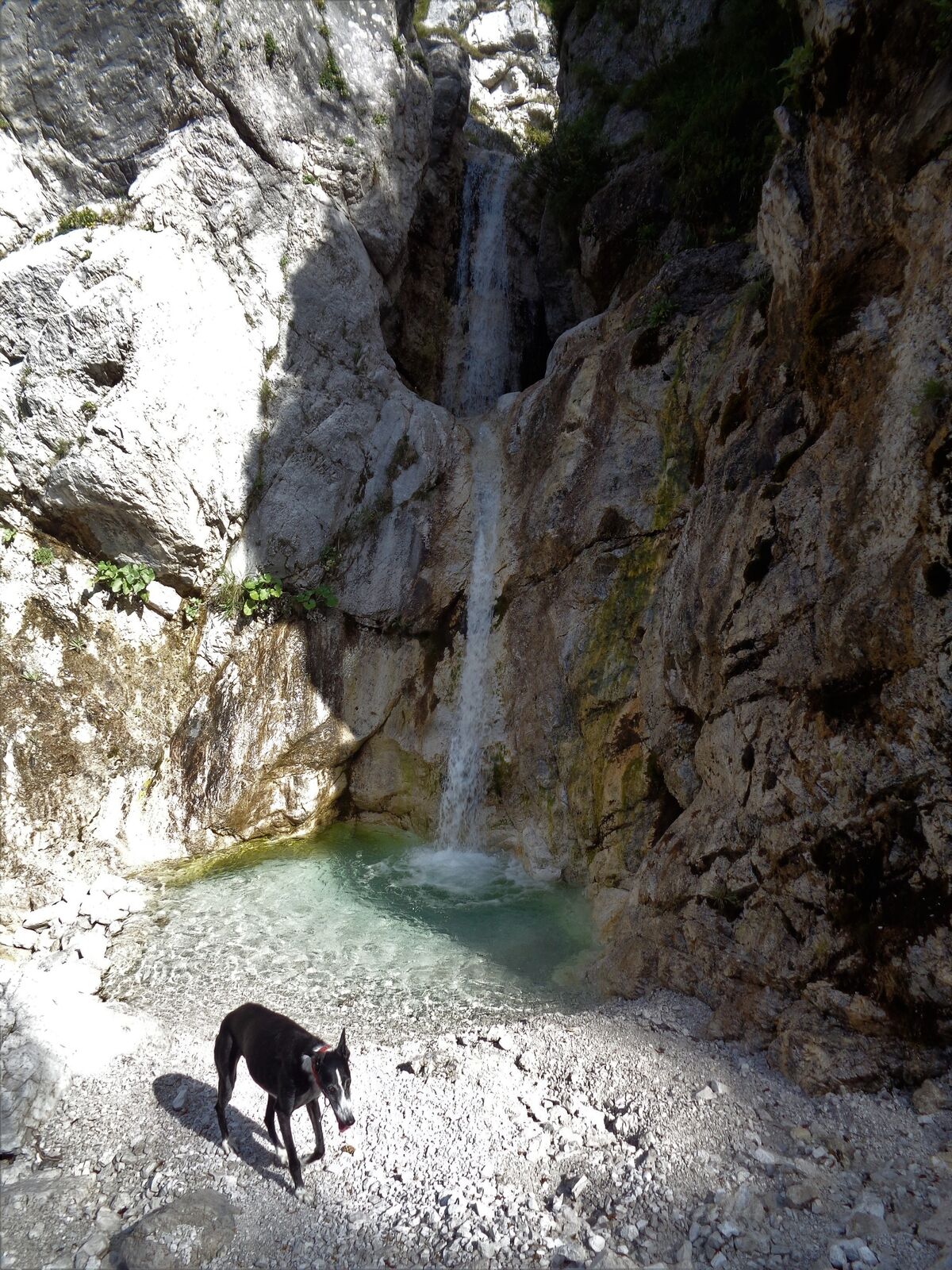
Streams Črni potok and Rio Bianco (Beli potok) beneath Mt. Breški Jalovec (Punta di Montemaggiore) where the Nadiža River springs


- Brief description
-
This pleasant forest trail will take you to the two of the many sources of the torrential Nadiža River. The birth place of the Nadiža River is one of the nicest sights beneath the Cime del Monte Mountain range (Muzci).
- Difficulty
-
medium
- Rating
-
- Starting point
-
Breginj
- Route
-
Slap Mnanu Paradiž1.9 kmSlap Mnanu Paradiž7.2 kmŠpere9.1 km
- Best season
-
JanFebMarAprMayJunJulAugSepOctNovDec
- Description
-
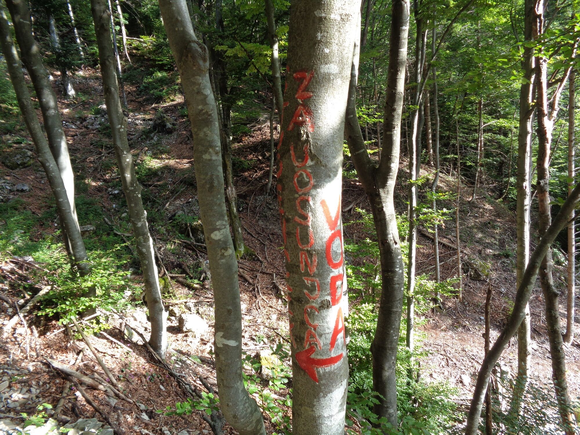
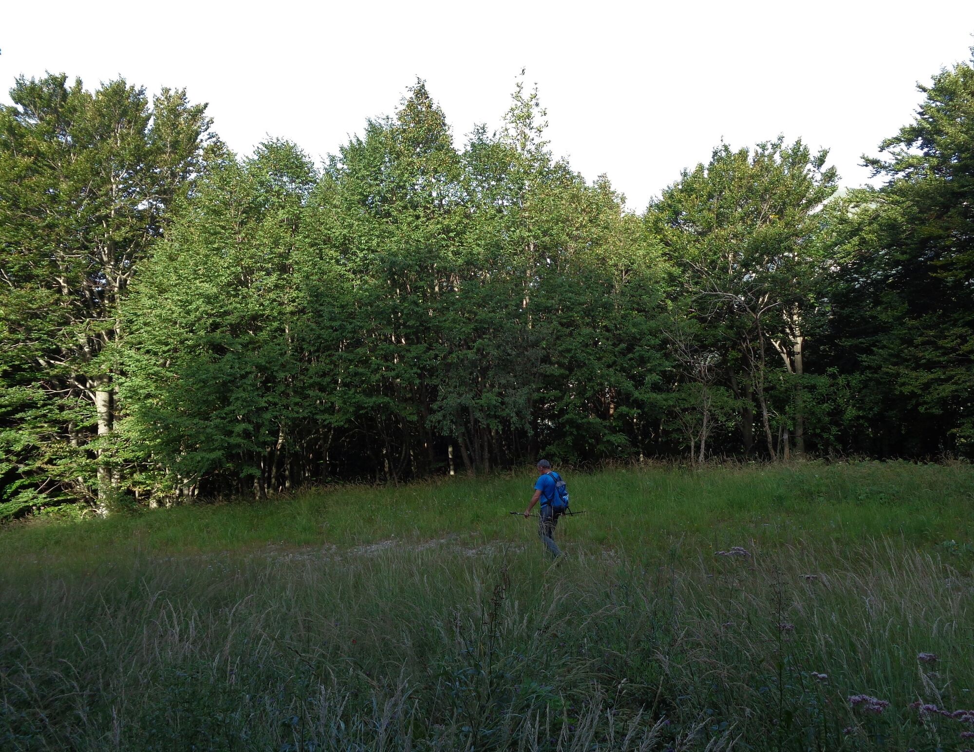
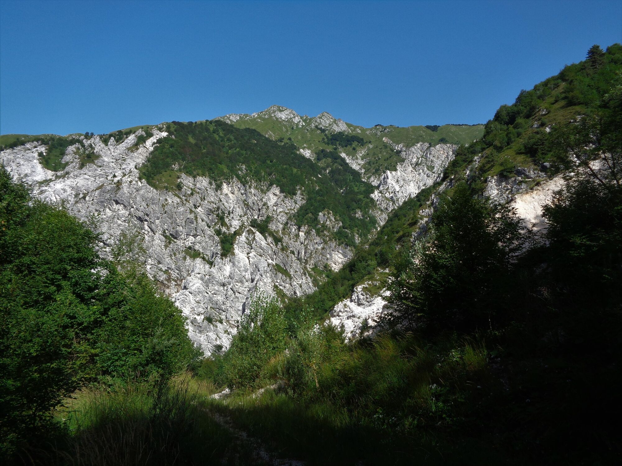
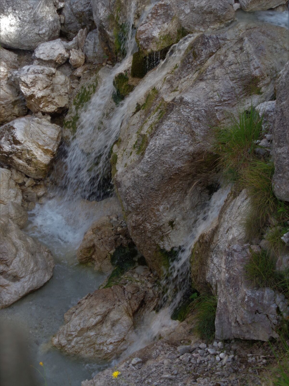
This nice tour, which is mostly routed through a beech forest and passes many springs, starts in the village of Breginj. A gentle ascent along a gravel road will take you past the Petrin Mill to a junction. A somewhat steeper trail will take you past the marked spring and to a higher junction towards the Church of Our Lady of the Snows. The steep ascent ends on the mountain pass. The trail descends over the ridge, passes a stream and joins the cart track from the village of Breginj, which also serves as a cycling trail. A well-worn trail, which occasionally offers a view of the ridge of Cime del Monte (Muzci), ends at an almost unnoticeable spring of the Črni potok Stream. A couple of meters across its narrow riverbed you already step on the Italian territory. Bilingual signs are the only indicators that you left the Republic of Slovenia. After approximately 30 minutes of walking, you already arrive to Rio Bianco (Beli potok) where you can visit an attractive waterfall and one of the sources of the Nadiža River. The ravine where Rio Bianco (Beli potok) flows is quite wide and offers views of the valley.
Return along the same trail.
- Directions
-
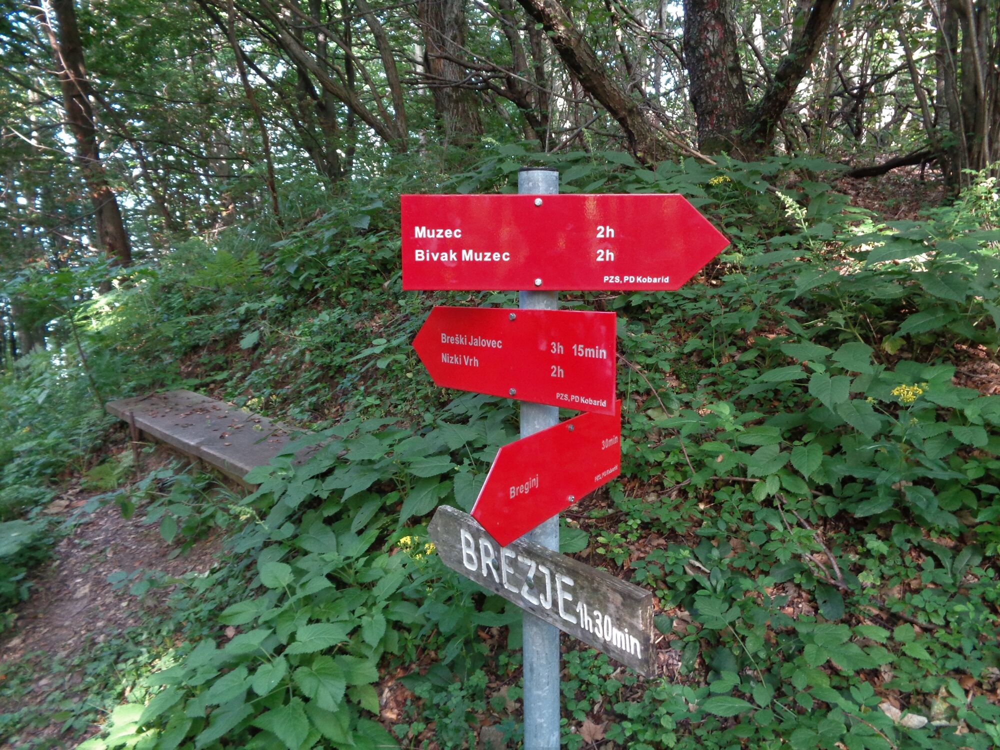
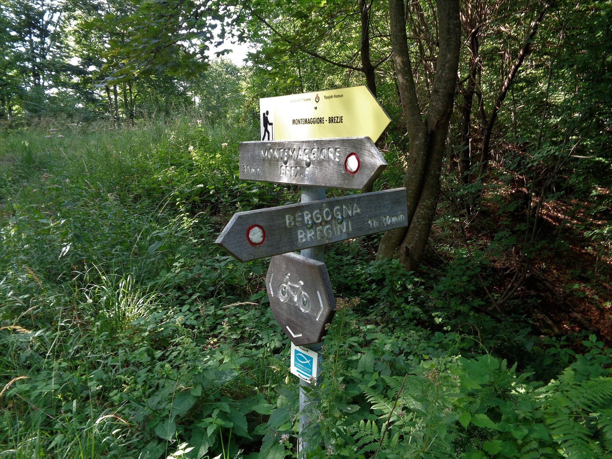
Follow the markings for the village of Montemaggiore (Brezje) along the entire trail. The trail from the spring of the Črni potok Stream onwards is less visible, however, it is logically routed.
- Highest point
- 886 m
- Endpoint
-
Spring of Rio Bianco (Beli potok)
- Height profile
-
 © outdooractive.com
 - Equipment
-
Hiking footwear and trekking poles if necessary.
- Safety instructions
-
The trail is completely safe and also appropriate for families.
The tour is partially routed along an easy hiking trail. Use of the hiking trails is at your own risk!
- Tips
-
This trail is appropriate for moderately physically prepared hikers and children. The trail is mostly routed through the forest, which is why it is also appropriate for hot summer days.
- Additional information
-
This trail is also appropriate for hot summer days because it is mostly routed through the forest. There are a lot of drinking water springs along the trail.
You can continue the tour to the village of Montemaggiore (Brezje).
- Directions
-
From the town of Kobarid, drive towards the village of Staro selo and follow the signs pointing uphill to the right towards the village of Breginj. The well-marked trail starts on the right side of the church.
- Public transportation
- Parking
-
Free parking is available at the parking lot in Breginj.


-

-
Author


General info
-
Friaul Julisch Venetien
144
-
Soča-Tal
393
-
Podbela
86