


- Brief description
-
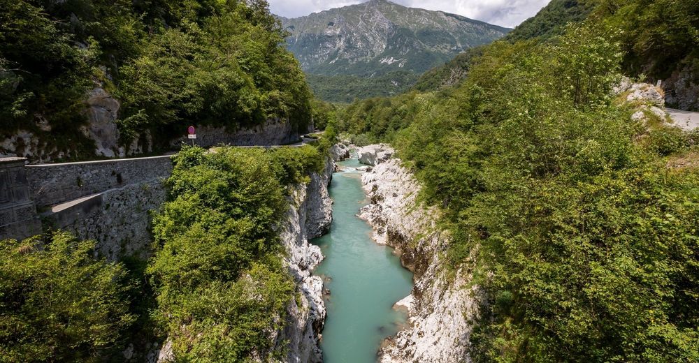
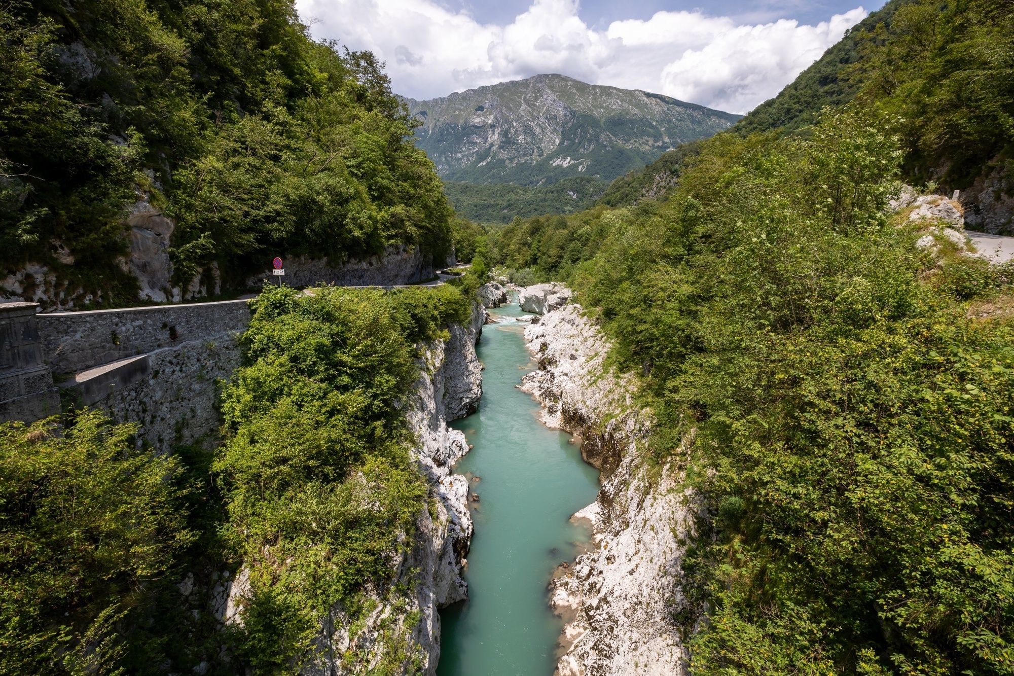
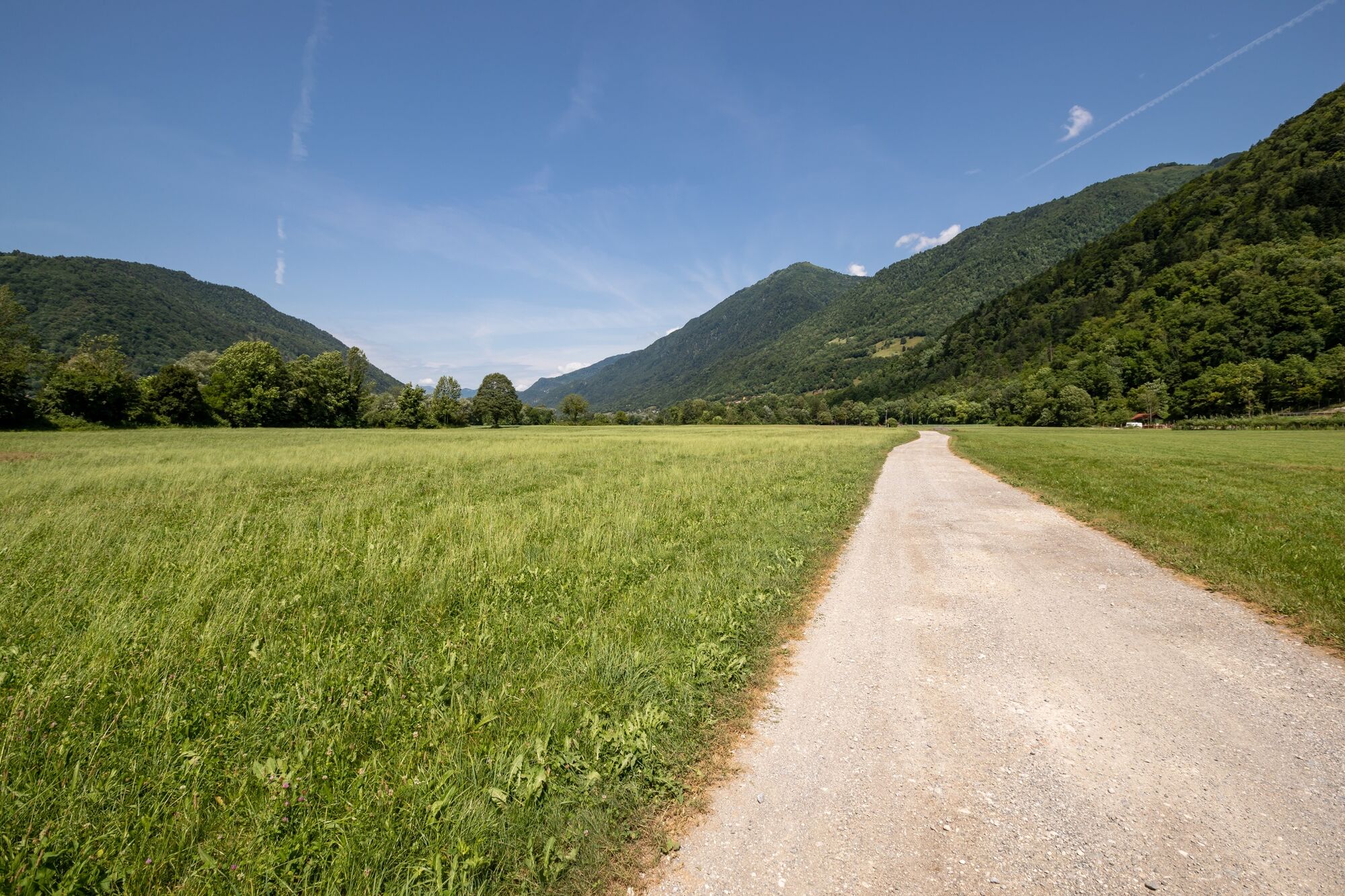
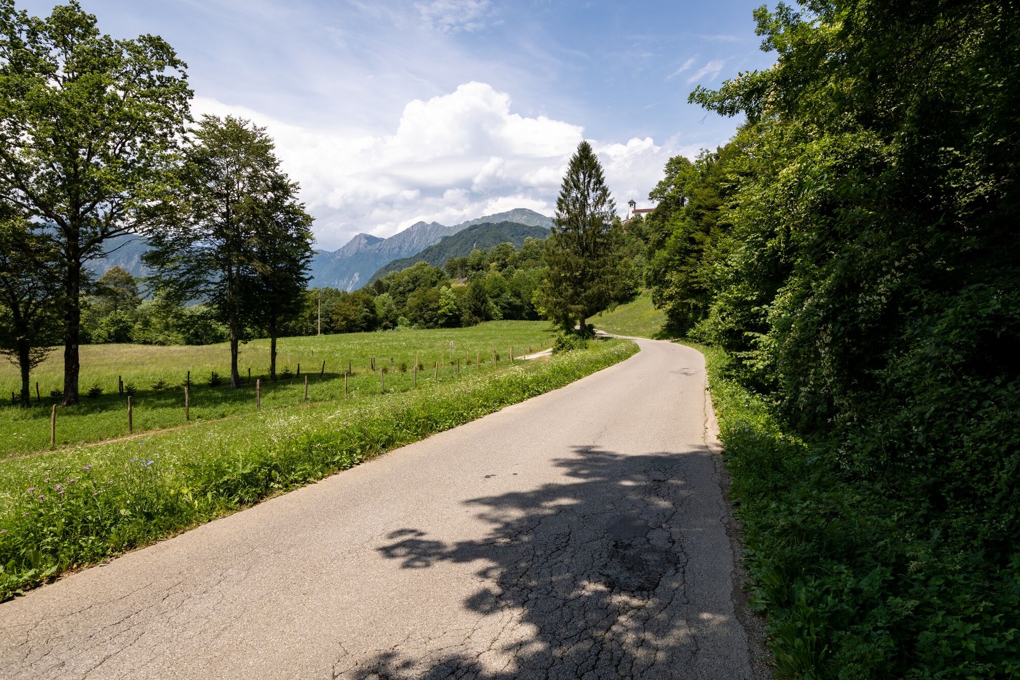
The stage from Tolmin to Kobarid is quite flat and runs in the valley. The entire stage is hiked – as local people say – along the sunny side of the Soča River, through the pleasant villages to the historical Kobarid.
- Difficulty
-
medium
- Rating
-
- Starting point
-
Car park in the centre of Tolmin.
- Route
-
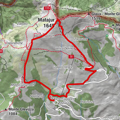
TolmeinKavarna in Gostilna pri Noni0.3 kmDollia2.3 kmGlažar5.4 kmVollaria6.4 kmSelišče7.7 kmKamno-Marakške9.2 kmCamina9.4 kmKamno-Meje9.6 kmSchmast12.8 kmLog13.5 kmLadrach13.7 kmKarfreit16.5 kmŽupnijska cerkev Marijinega vnebovzetja16.7 km
- Best season
-
JanFebMarAprMayJunJulAugSepOctNovDec
- Description
-
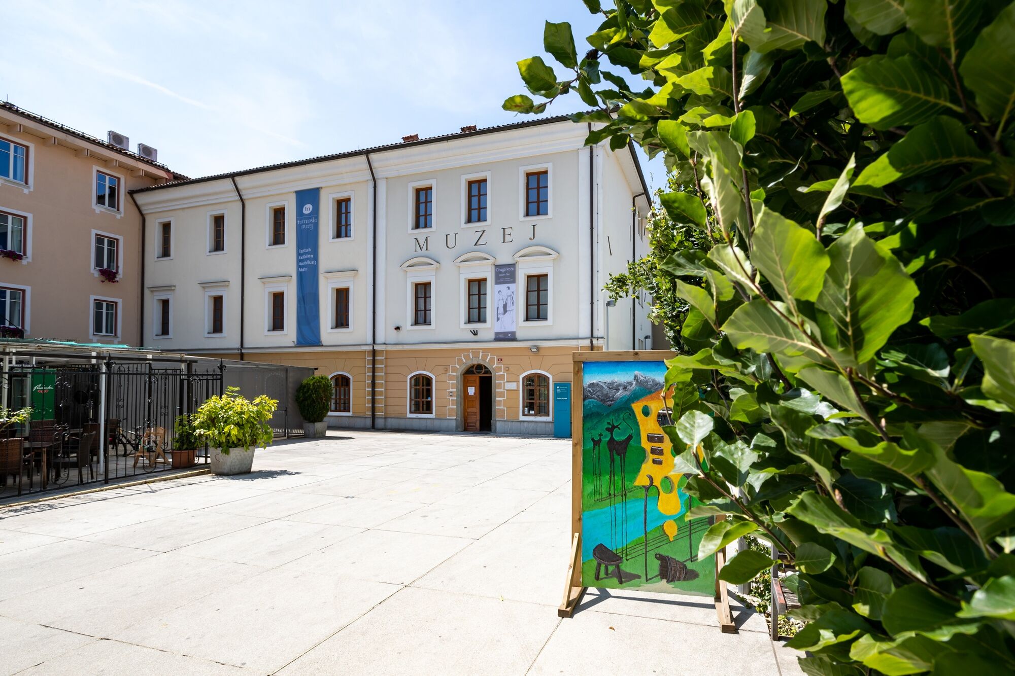
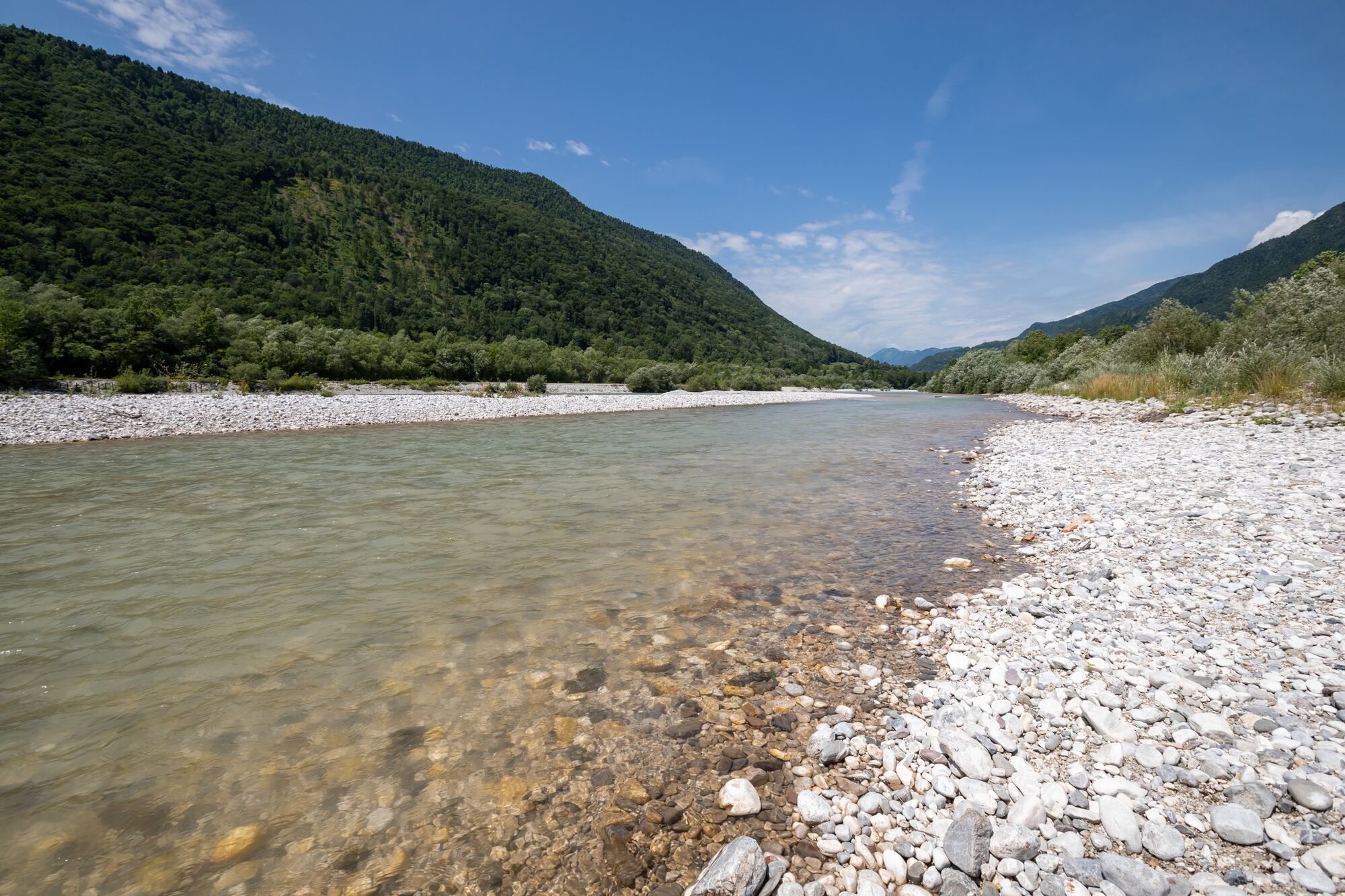
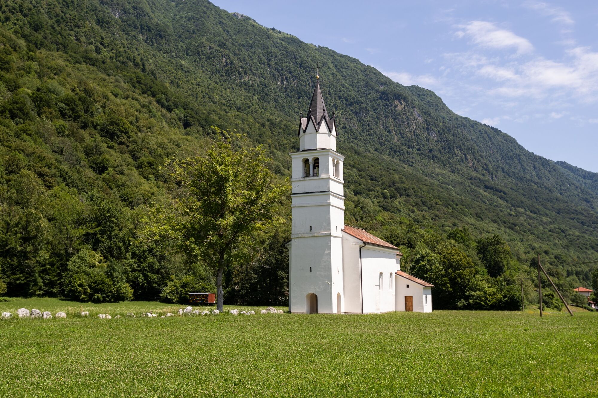
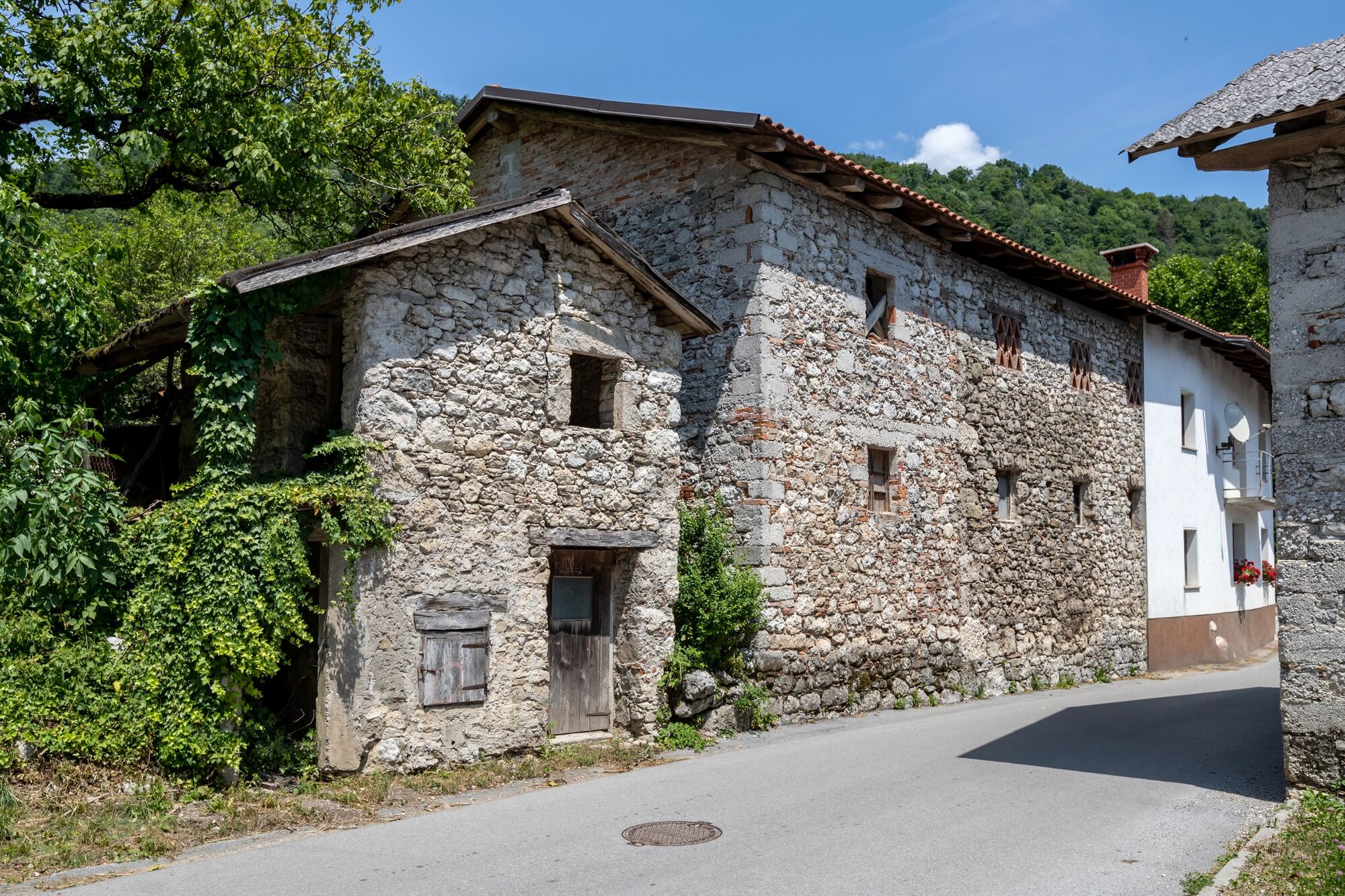
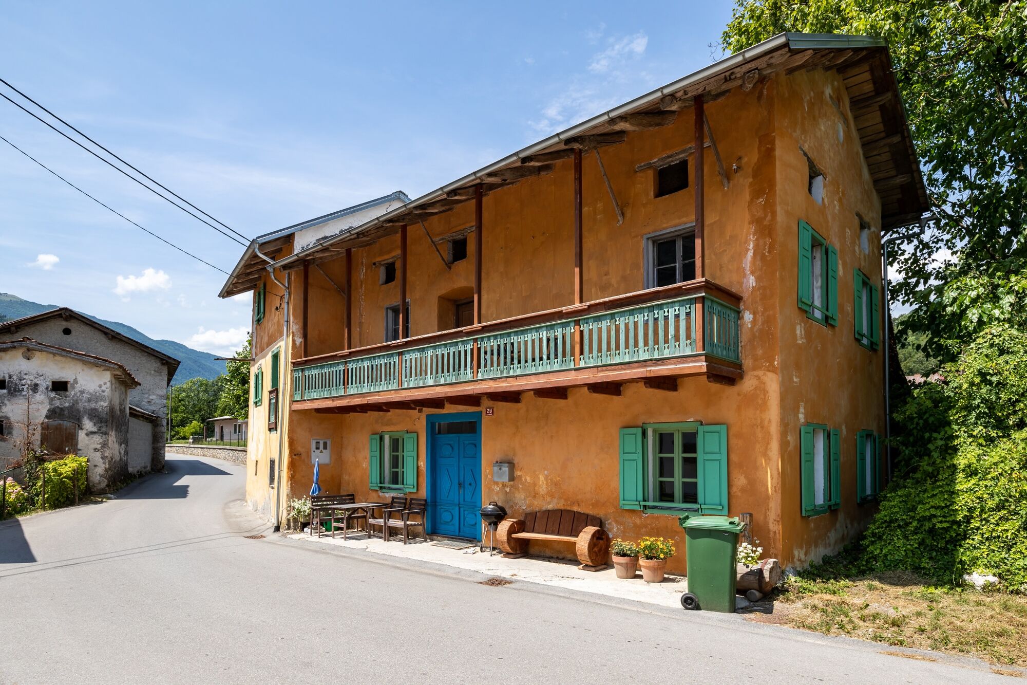
The trail starts at the paragliding landing site – Kobala nad Tolminom, which is one of the most popular paragliding sites; in beautiful weather we can see hundred or more paragliders flying above the alpine peaks. Continue along the banks of the Soča River through the sunny villages of Gabrje and Volarje. In Selišče, we cross the small Volarja River that springs below Krn, which hides a range of most beautiful and highest Slovenian waterfalls. Between Kamen and the Church of St Lawrence we walk in the fairy forests and along the paths that run among the ancient, moss-covered walls. The church was the last home of Simon Gregorčič, one of the most famous Slovenian poets. He worshipped the Soča River in many of his works. We reach Kobarid through Ladra, the last village along the trail. Kobarid played an important part in WWI. The Battle of Kobarid (which actually started in Tolmin) resulted in the breakthrough of the Austrian and German Army at the twelfth, last offensive on the Isonzo Front, and Kobarid or Caporetto is still the synonym for a catastrophe in Italian language. Kobarid Museum displays exhibits on the events that occurred during World War I on the Soška fronta - Isonzo Front.
- Directions
-
The path between Tolmin and Kobarid is a combination of local cart tracks, a side road along the sunny side of the valley and short connecting paths.
Below Tolmin, about 100 metres away from sport courses, there is an unpaved road on the right side of the road that takes us to the Gabrje campsite below the Gabrje village. We continue walking along the Soča River, until the road turns to the road above us and then we continue through the villages Volarje and Selišče. There is a cemetery below the Kamno village, where we come to the next path on the right side. Continue through the village, and there is a path on the other side that takes us to ancient and beautiful dry stack. Some parts of the dry stack have been removed by farmers during the levelling of meadows and fields, but they bring us below the Church of St St Lawrence. The church is worth visiting because it is an excellent panoramic viewpoint. We continue through Ladra and end the stage in Kobarid.
- Highest point
- 245 m
- Endpoint
-
The centre of Kobarid at the info point.
- Height profile
-
 © outdooractive.com
 - Equipment
-
Hiking equipment suitable for the season.
- Safety instructions
-
Normal level of caution is recommended, there are no special dangers along the way.
If there is no snow, the stage is also recommended in winter.
- Tips
-
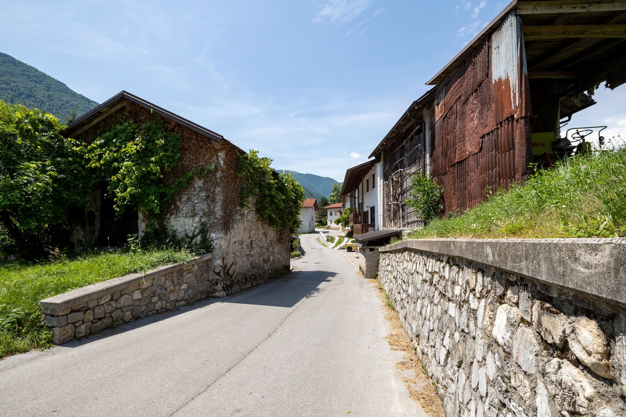
The stage runs through the part where the villages are most densely set, therefore, it is worth stopping and chatting with the hospitable local people.
- Additional information
-
Hint by Triglav National Park: Grofova voda
The Grofova Voda (Count’s Water) spring is situated in the Sopotnica gorge above the village of Gabrje. The local inhabitants believe that the water from the spring has healing properties. Radiesthetic measurements place the water from Grofova Voda among the world’s top healing waters.
The water is clean, fresh, rich in minerals and has beneficial effects on the entire body. The spring comes from great depths, bubbles to the surface and never runs dry, not even during the driest periods. The water has a stable temperature, flow, colour and taste. Drinking this water refreshes us and gives us strength.
Not far from the spring there is a thick and vital tree, a mountain elm tree (Ulmus glabra). It measures 81cm in diameter and reaches an impressive height of 39m. It is double the size of all neighbouring elms of comparable age. The water from the spring flows underneath the tree, enriching it with energy.
The elm tree is the sentinel of the springs. Like the spring water enlivens the tree, it will also refresh you and fill you with the energy that you will need as you continue your hike along the Juliana Trail.
- Directions
-
Regional road:
Nova Gorica – Tolmin – Kobarid
Ljubljana – Idrija – Tolmin – Kobarid
Ljubljana – Kranjska Gora – Vršič – Bovec – Kobarid
- Public transportation
- Parking
-
Car park in the centre of Tolmin.
Car park in the centre of Kobarid.


- Author
-
The tour JULIANA TRAIL: stage 12 Tolmin - Kobarid is used by outdooractive.com provided.