


- Brief description
-
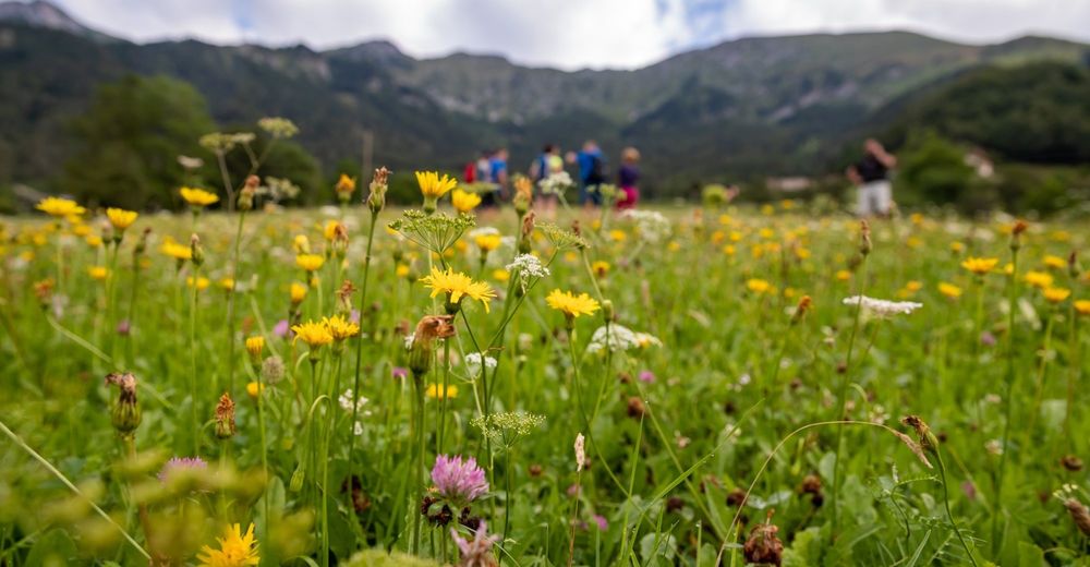
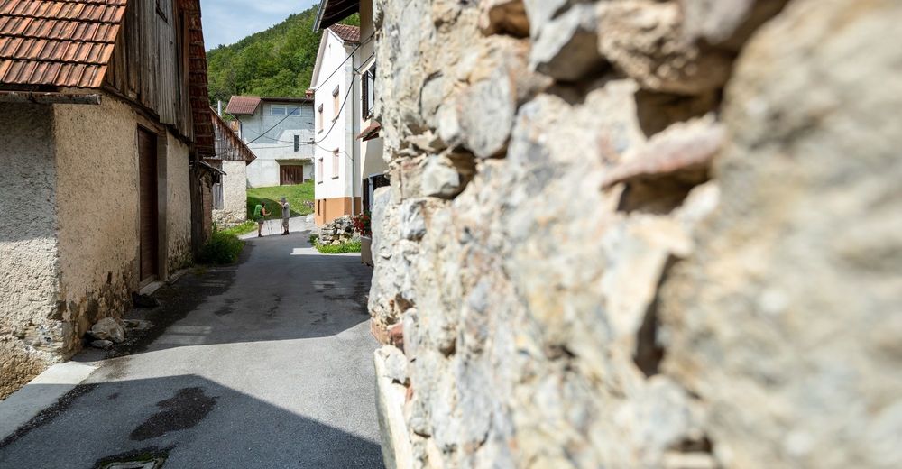
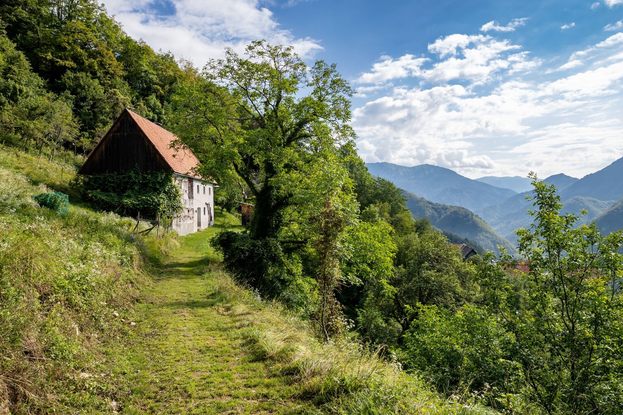
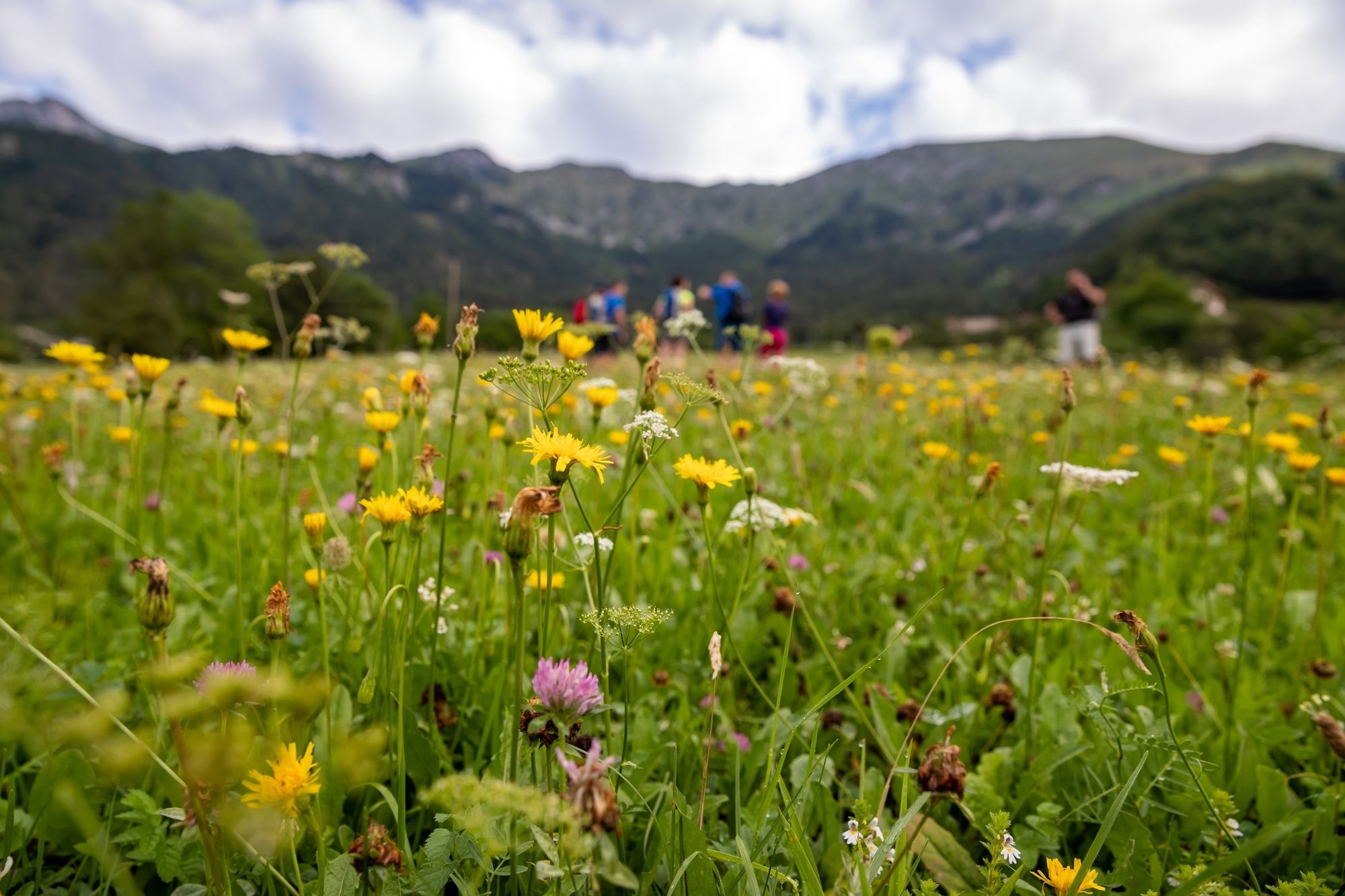
The stage takes us through the sunny and magical alpine villages high above Baška grapa, hidden to the majority of visitors travelling along the road and the railway in the lower part of the valley.
- Difficulty
-
difficult
- Rating
-
- Starting point
-
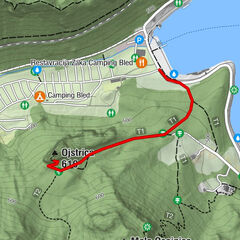
Railway station in Podbrdo.
- Route
-
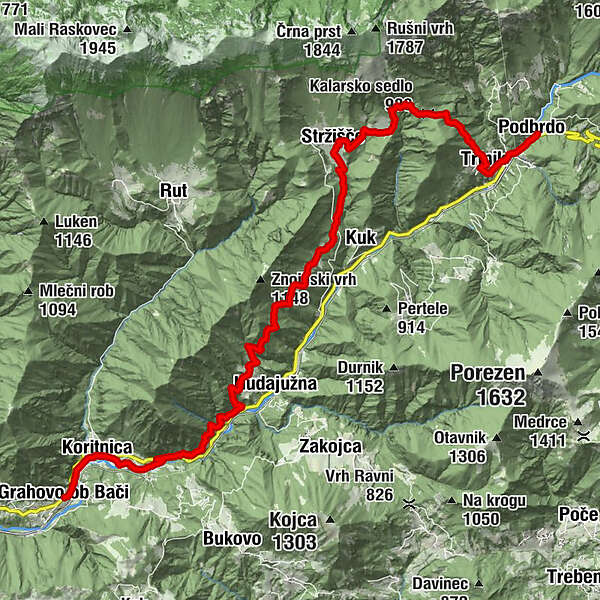
Sv. MiklavžPodberda0.2 kmTrtnik1.5 kmKalarsko sedlo (988 m)3.2 kmKal4.5 kmCerkev sv. Ožbolta5.4 kmStržišče5.9 kmKuk7.8 kmZnojile8.5 kmObloke12.0 kmZarakovec15.6 kmKoritnica16.8 kmsv. Ana17.7 kmOkrepčevalnica pri Brišarju17.7 kmGracova17.9 km
- Best season
-
JanFebMarAprMayJunJulAugSepOctNovDec
- Description
-
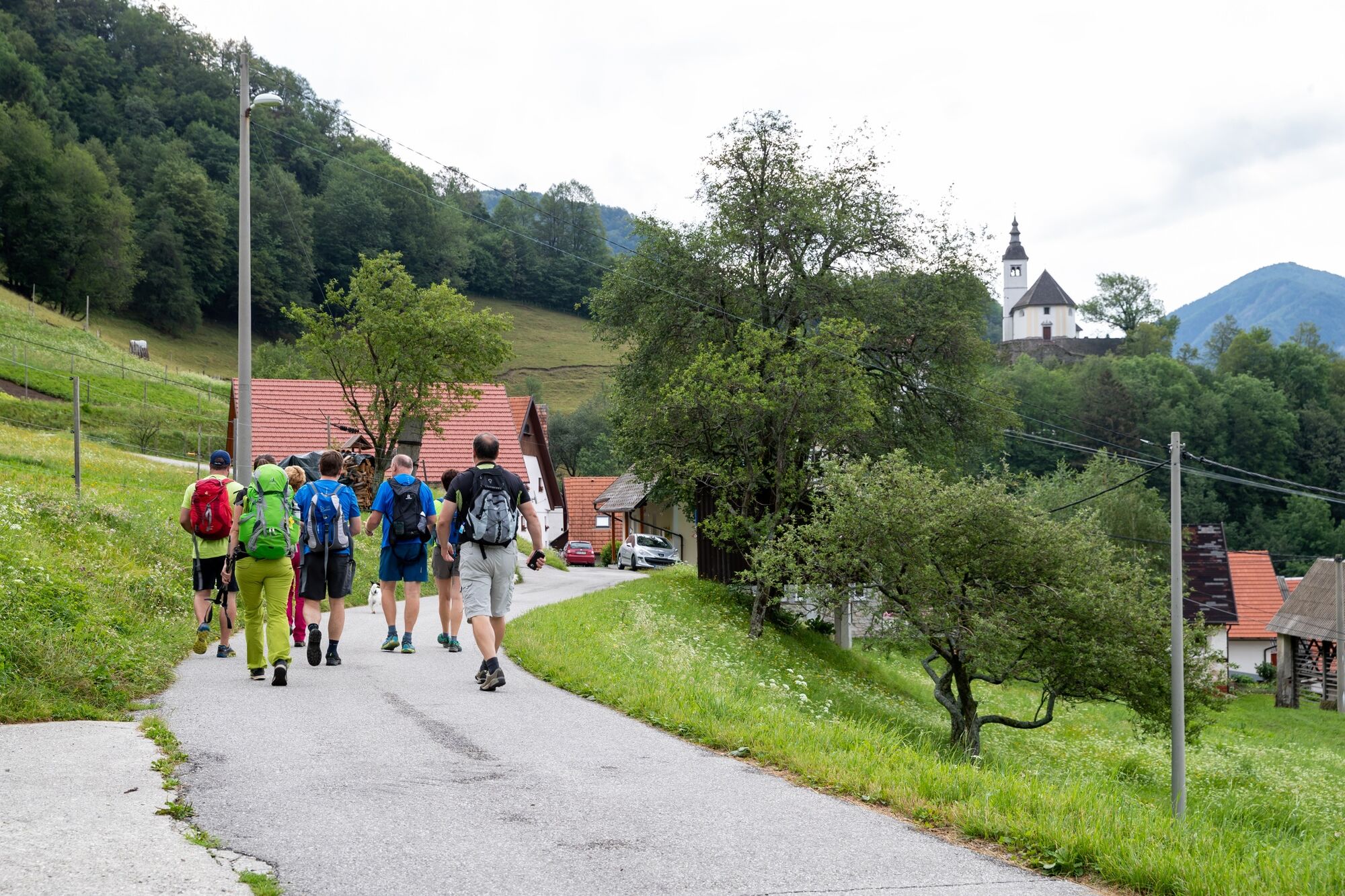
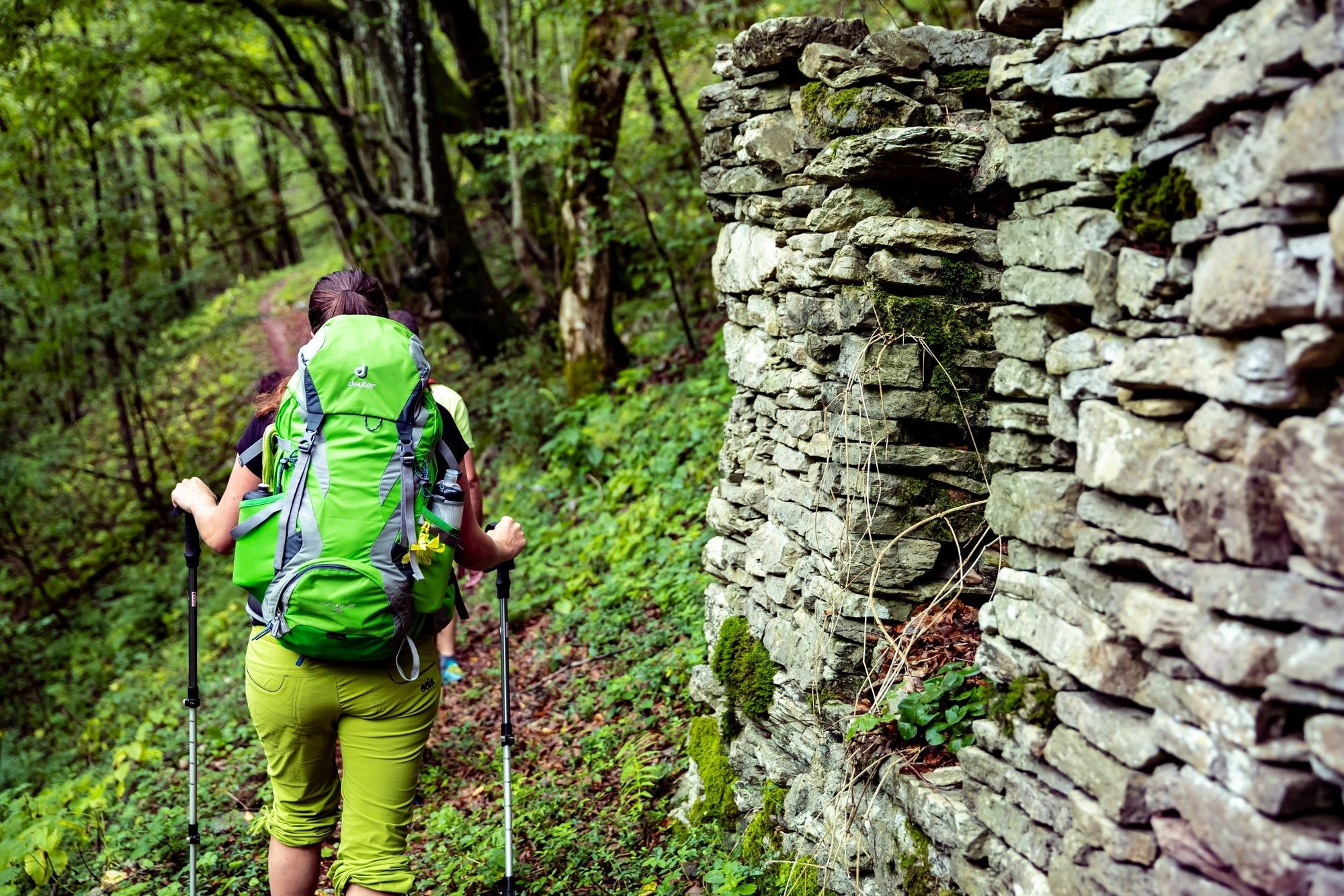
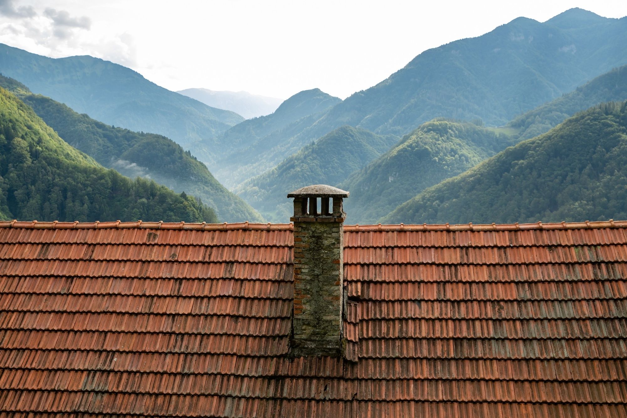
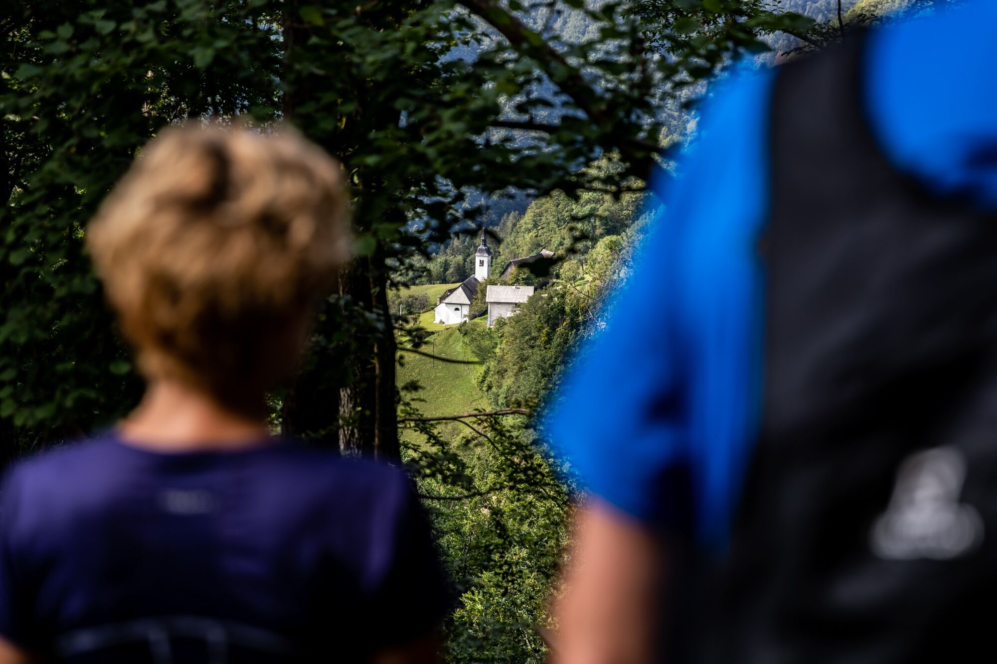
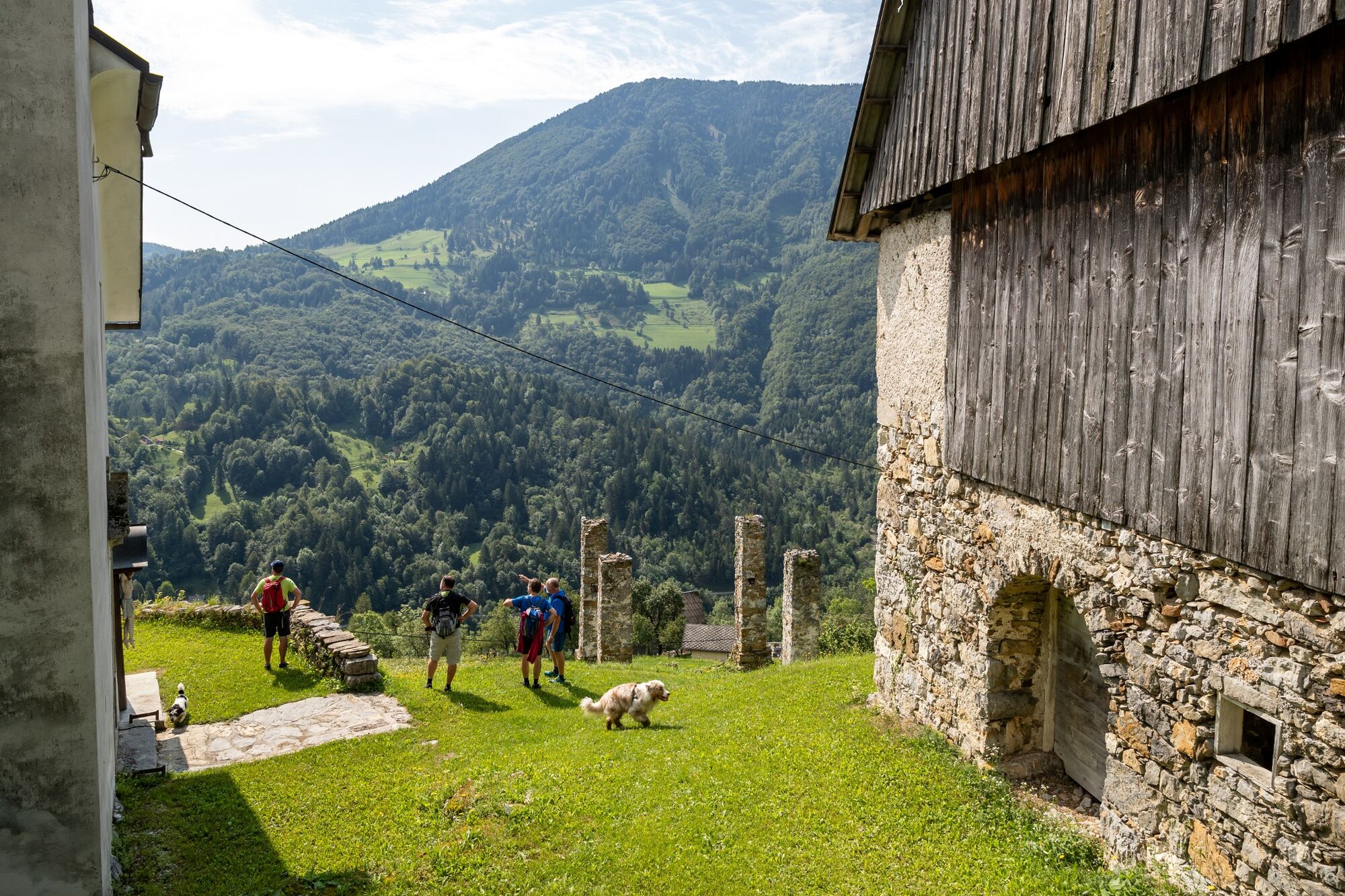
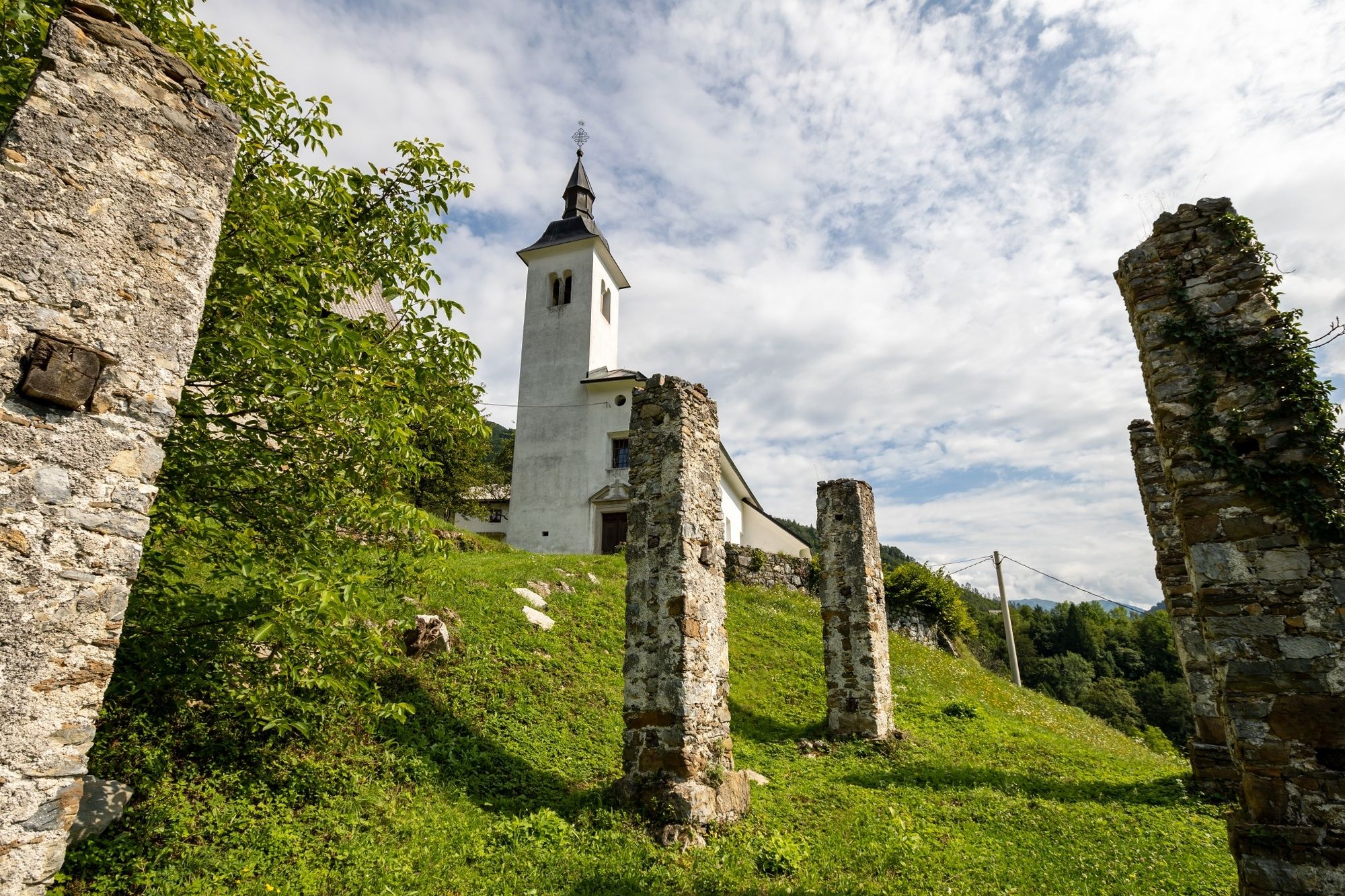
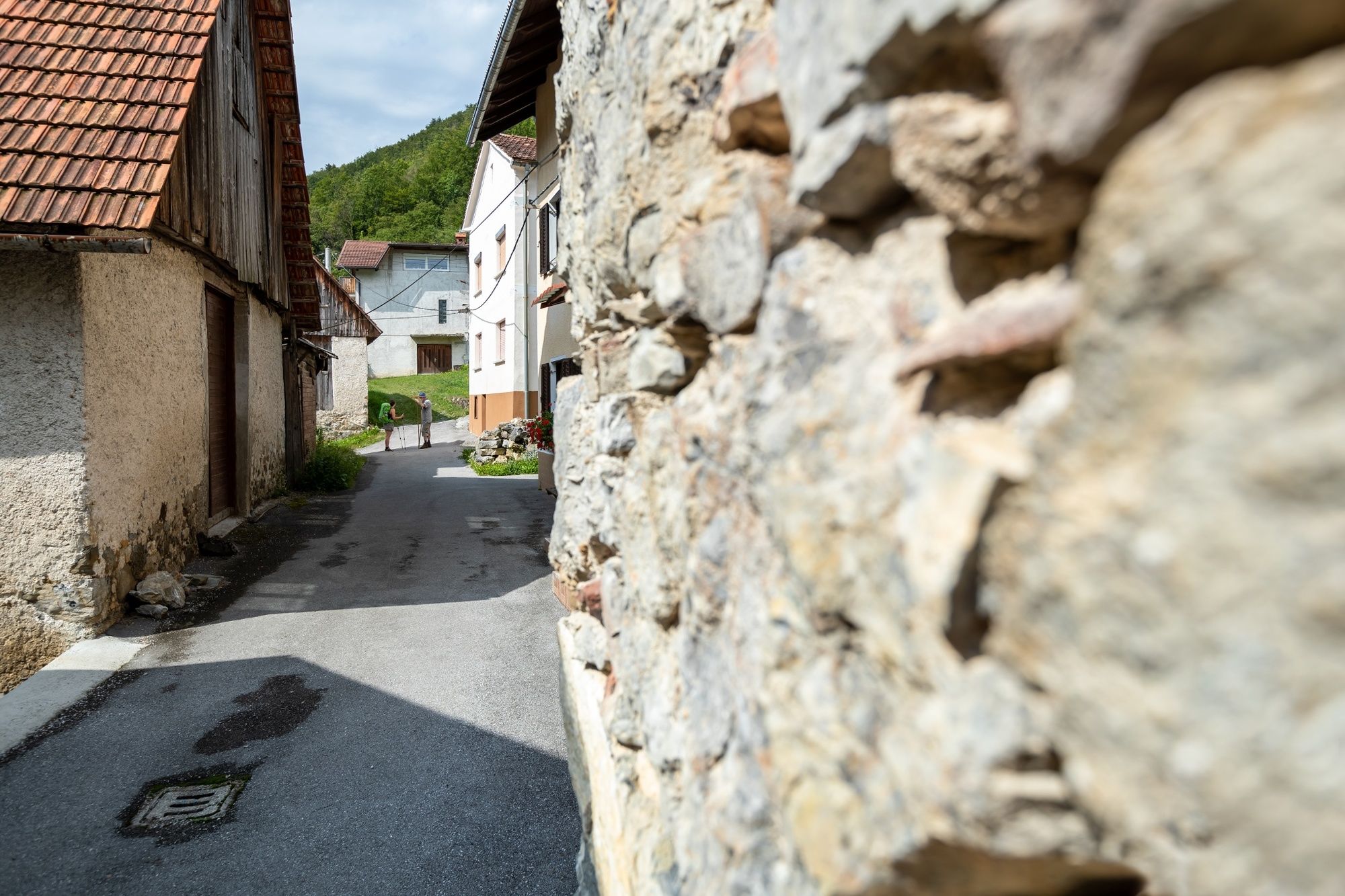
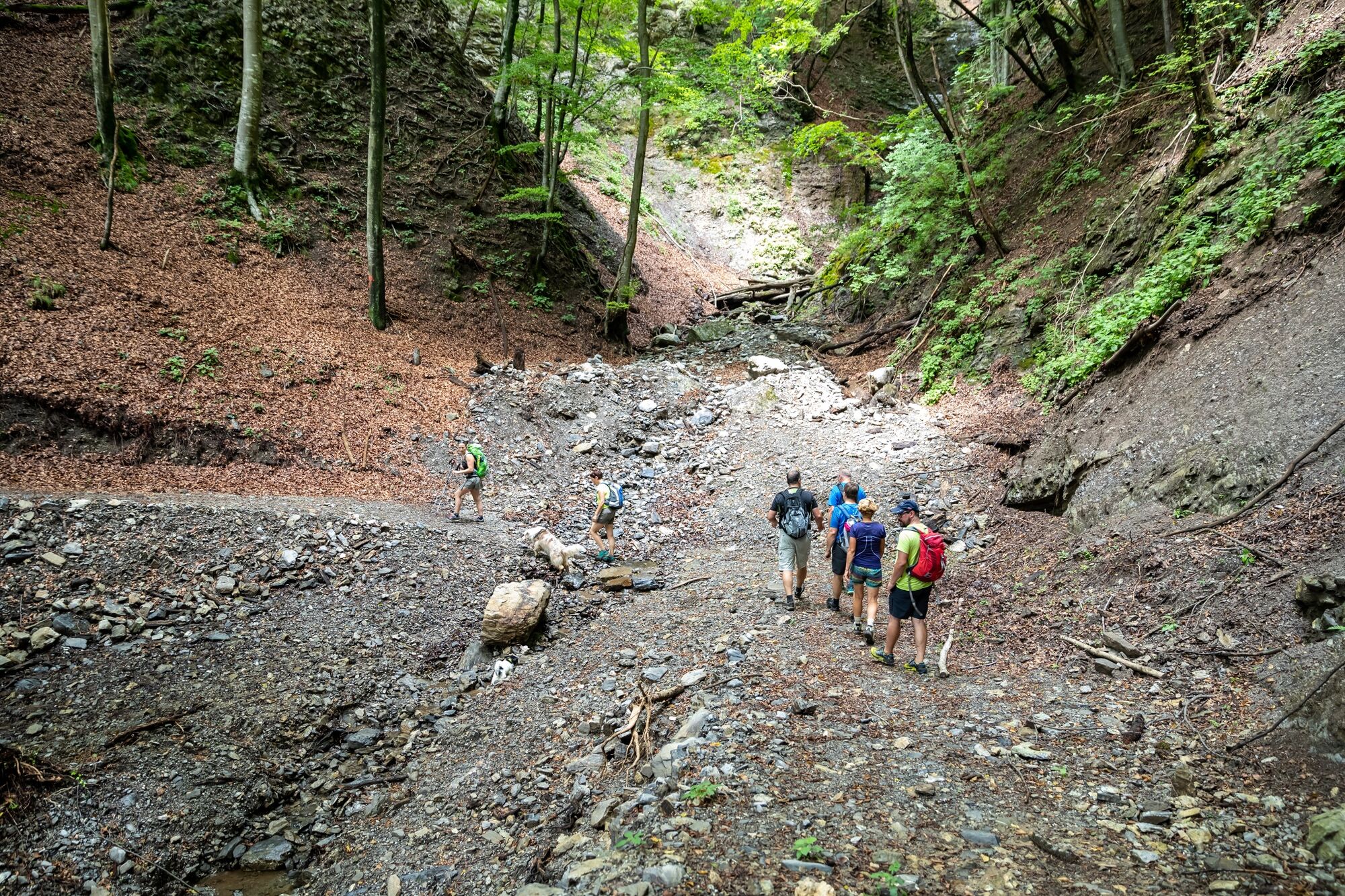
From Podbrdo, we ascend along the alpine trail to Črna prst through the village of Trtnik. We start our journey through alpine villages on the other side of the Kalarsko brdo pass. The first two villages, Kal and Stržišče, were colonised by the Tyroleans. Together with the neighbouring Rut and Grant, Sorica and Nemški Rovt, they were set up by the immigrants from Innichen in Pustertal. We continue through the abandoned Znojile to Obloke along the route of the famous Four Municipalities Mountain Marathon. The world cup was also organised along this route once. While slightly descending from Obloke, we continue to the old road that was the main communication channel through the valley. We continue to the settlement of Zarakovec and descend to Bača, Koritnica to Grahovo ob Bači, where the stage ends.
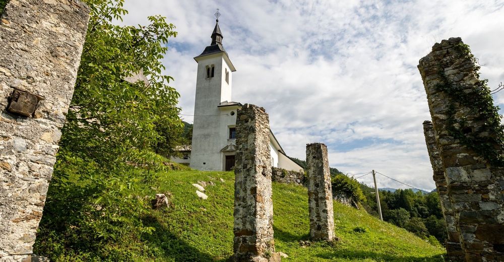
The villages of Koritnica and Grahovo were the main venues of the first Slovenian film "Na svoji zemlji". This period has also been commemorated by the memorial hiking trail, equipped with information points and scenes from the film.
- Directions
-
Hiking along the marked hiking trail, leading to Črna prst, from Podbrdo takes us to Kalarsko brdo; continue to Obloke along the Four Municipalities Mountain Marathon (GM40) and through the forests above the regional road, then along the Bača River to the end of the stage. The trail starts in Podbrdo, at the bridge over Bača River that leads to the railway station. Kalarsko brdo (two-hour climb) can be reached along the hiking trail to Črna prst, continue from the pass along the forest road to Kal and Stržišče. Amidst the houses below the church, we descend to the lower edge of the meadows below the village, where we can find the trail that takes us through the abandoned village of Znojile to Obloke. We continue along the GM40 trail from Kalarsko brdo to Obloke. There is a path on the other side of Obloke, that takes us to a small hill where we descend to an "old road" which brings us after two kilometres to Zarakovec. We can cross the road there and descend to Bača River on the other side. We continue along the service road for the small hydro power plant to the machinery facility, where climb back to the main road. Continue along the road to the first houses where there is a small slope on the left side that takes us to the Koritnica River. There is a path on the other side of the bridge which takes us along the Bača River to Grahovo ob Bače, which is the end of this stage.
- Highest point
- 992 m
- Endpoint
-
Car park above the railway station in Grahovo.
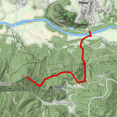
- Height profile
-
 © outdooractive.com
 - Equipment
-
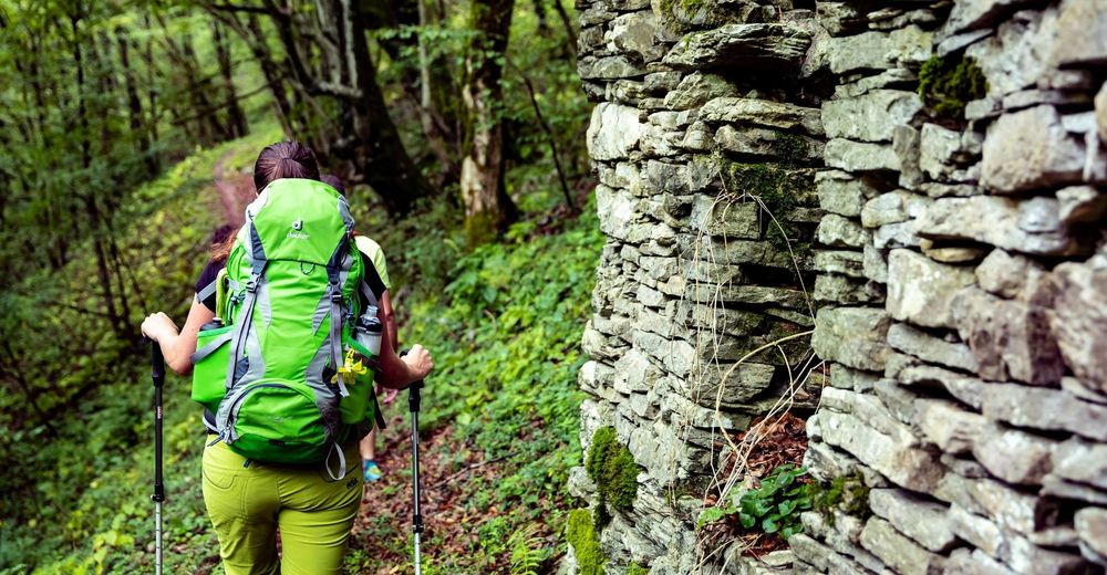
Hiking equipment suitable for the season.
- Safety instructions
-
Phone reception is bad in some places.
Normal level of caution is recommended, there are no special dangers along the way.
In winter, all Juliana Trail stages from Podbrdo to Bovec are impassable in snow, but if the conditions are dry (usually until the end of December or from March), the trail is very nice.
- Tips
-
The stage is one of the most beautiful sections of the trail, because it runs along the abandoned paths above Baška grapa through small villages where we can meed very hospitable locals.
- Additional information
-
Hint by Triglav National Park: The valley of the Bača River: Baška grapa
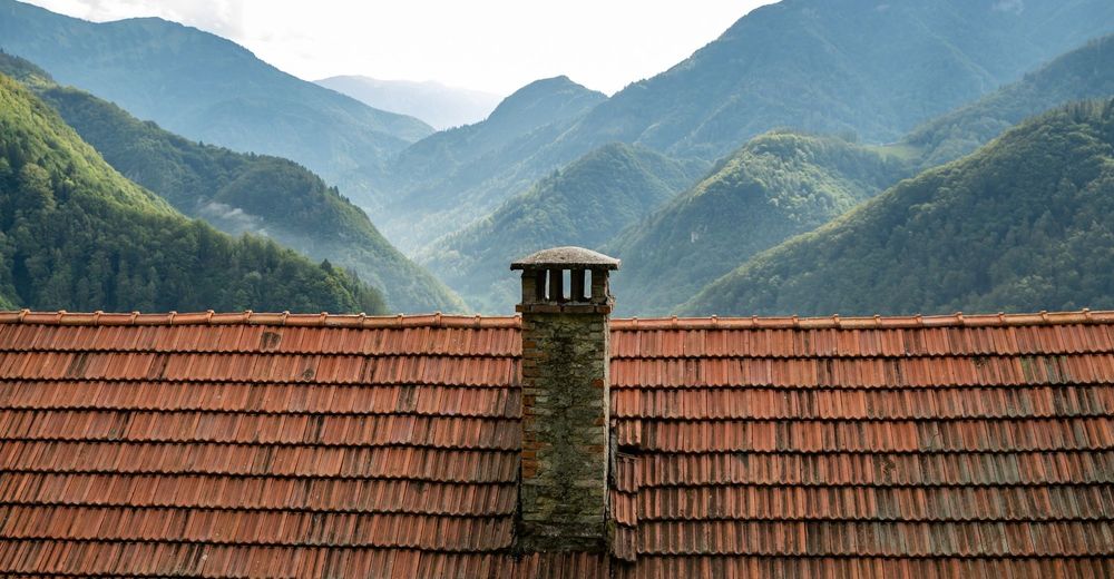
The valley of the Bača River, called Baška Grapa in Slovene, is an area of rugged and mountainous terrain that has developed on geologically diverse bedrock. In the geological past, the area was exposed to the erosive power of the Bača and its tributaries, as well as the transformations of massive glaciers receding from the Lower Bohinj Mountains (Spodnje Bohinjske gore).
The running water had excavated narrow valleys, or grape, with steep sides sloping at an average incline of about 35 degrees. As water is in high supply, the area abounds in springs, ravines, troughs, waterfalls and cascades. Rocky slopes are brought to life by the tiny and fragile star-like blossoms of the short-haired sandwort, which is endemic to these parts.
- Arrival
-
Take the train from Ljubljana or Villach to Jesenice, Bled, Bohinjska Bistrica and Podbrdo.
A car train also drives on the Bohinjska Bistrica – Podbrdo – Most na Soči route.
Regional road:
Ljubljana – Škofja Loka – Petrovo Brdo – Podbrdo
Most na Soči – Podbrdo
- Public transportation
- Parking
-
Car park at the railway station in Podbrdo.
Car park above the railway station in Grahovo.
- Author
-
The tour JULIANA TRAIL: stage 9 Podbrdo - Grahovo ob Bači is used by outdooractive.com provided.


General info
-
Bohinj
121