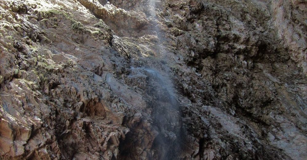
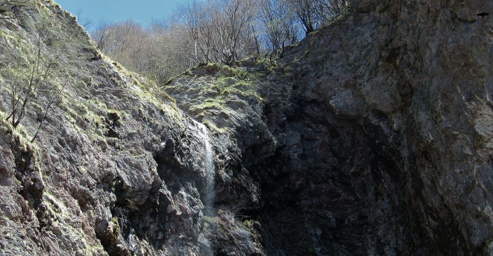
Curk Waterfall – a 70-metre waterfall above the village of Drežniške Ravne


- Brief description
-
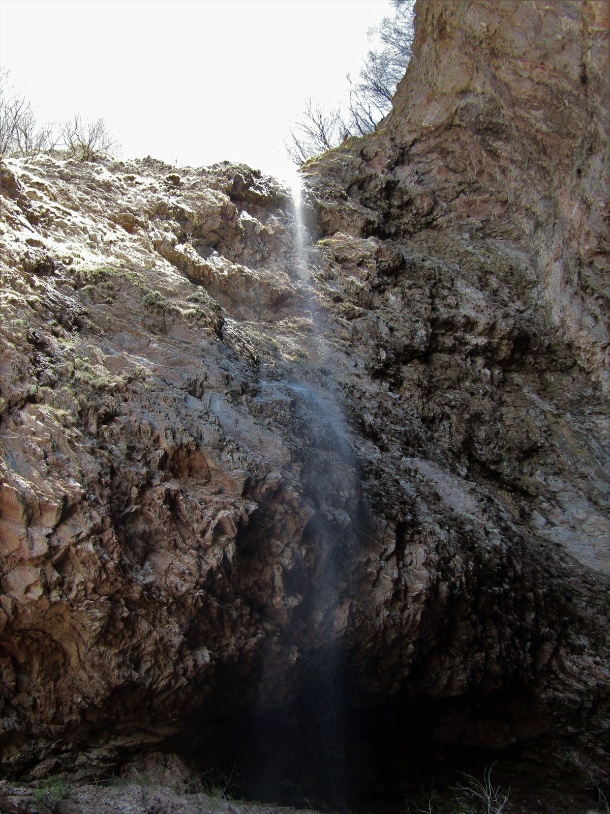
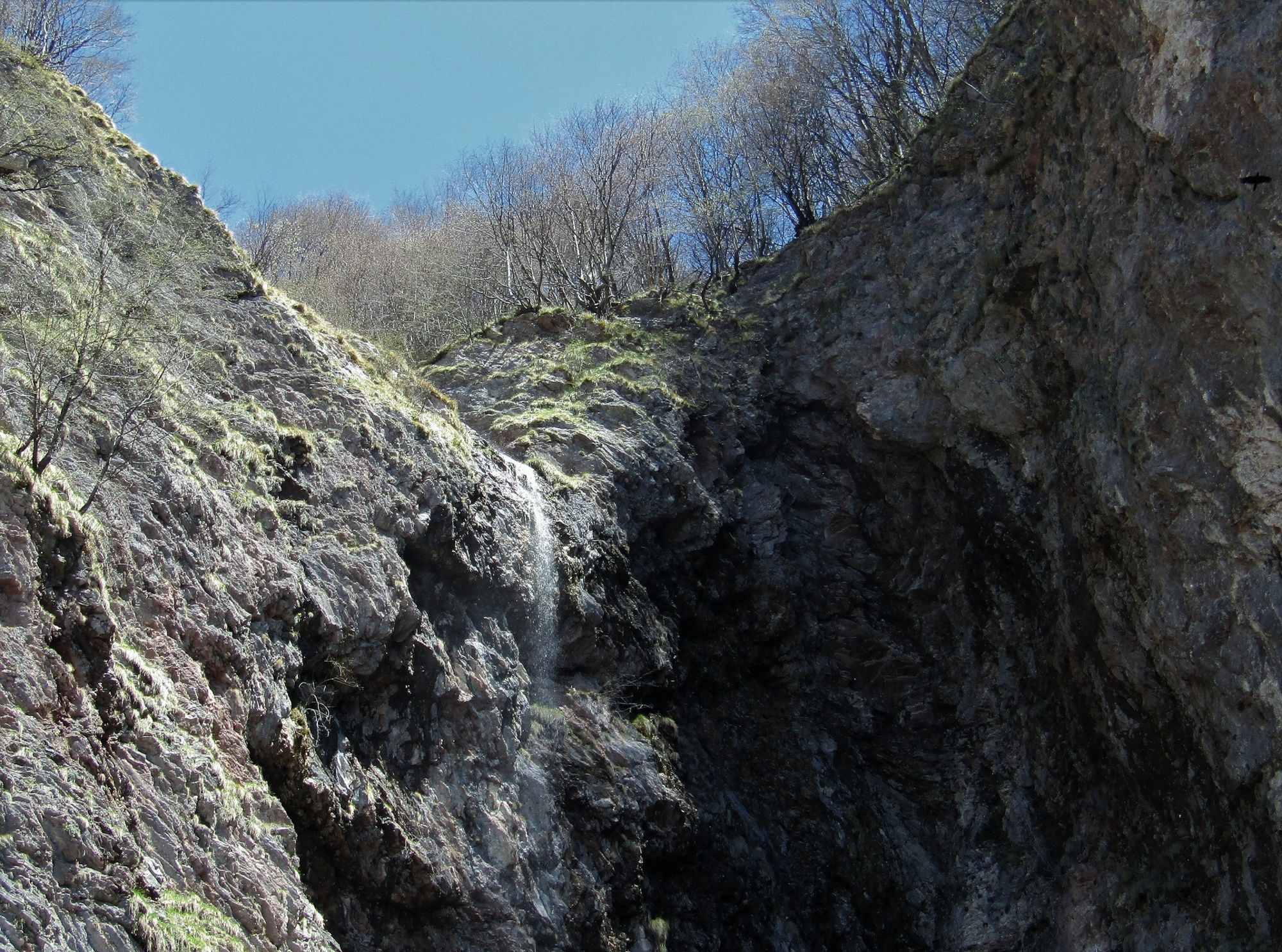
This waterfall is falling across precipitous red walls. It can be reached along an attractive trail which offers splendid views. This waterfall is the first of six waterfalls of the Kozjak Stream which springs beneath the foothills of the Krn Mountain range.
- Difficulty
-
medium
- Rating
-
- Starting point
-
Pri koritu parking lot above the village of Drežniške Ravne
- Route
-
Slap Curk2.5 km
- Best season
-
JanFebMarAprMayJunJulAugSepOctNovDec
- Description
-
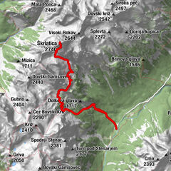
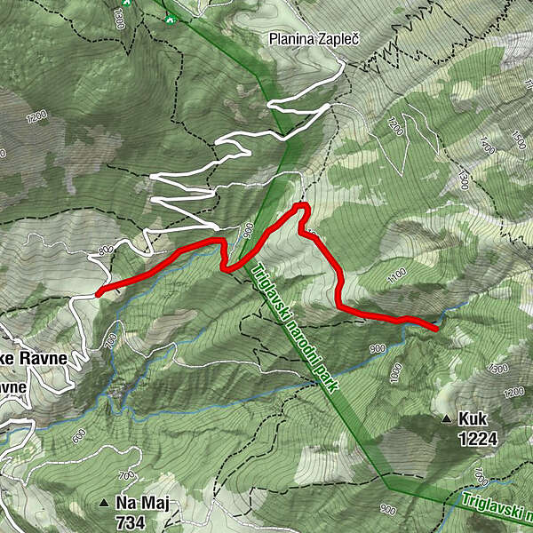
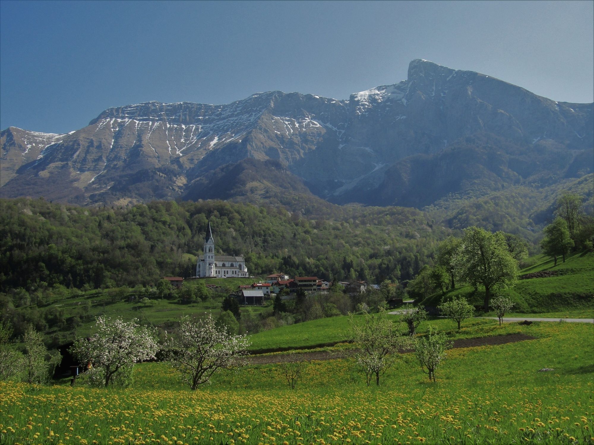
At the Pri koritu parking lot above the village of Drežniške Ravne you can notice the massive back of the Krn Mountain range underneath which the Kozjak Stream springs. This stream created six marvellous waterfalls along its way.
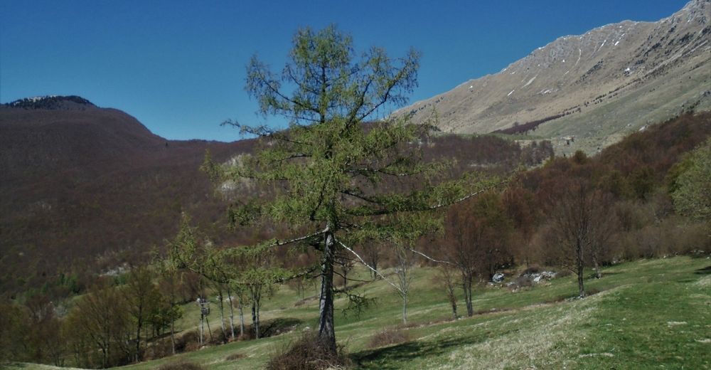
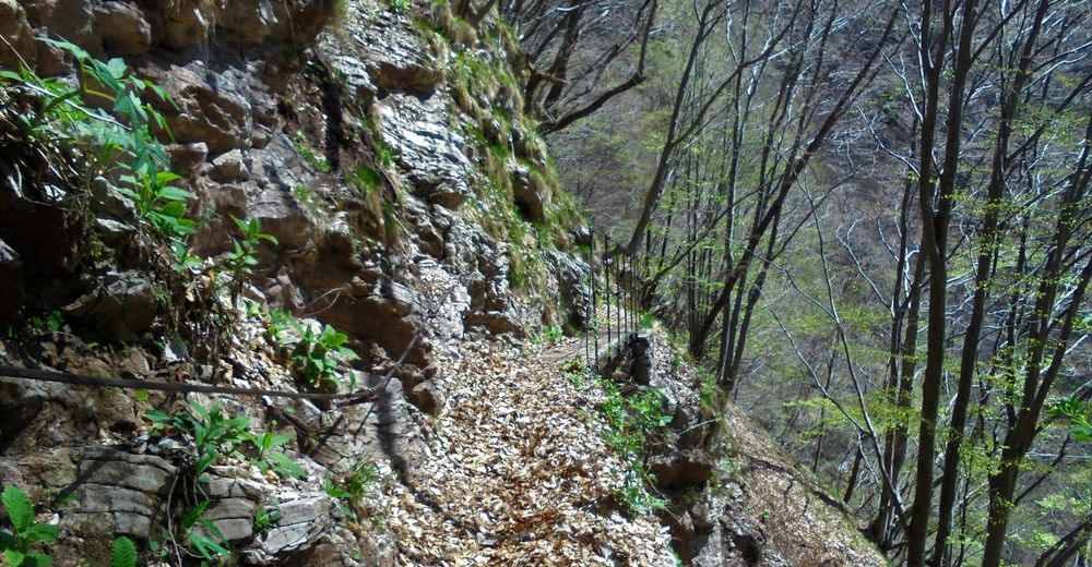
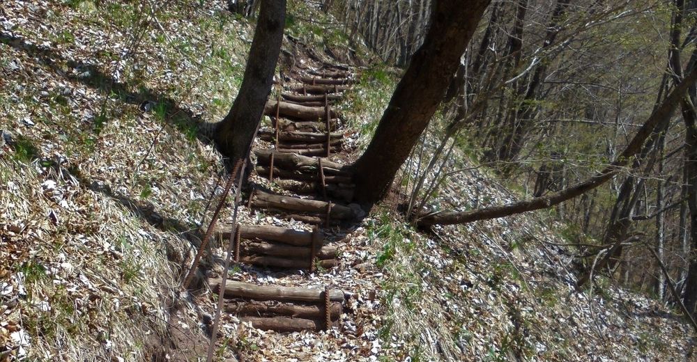
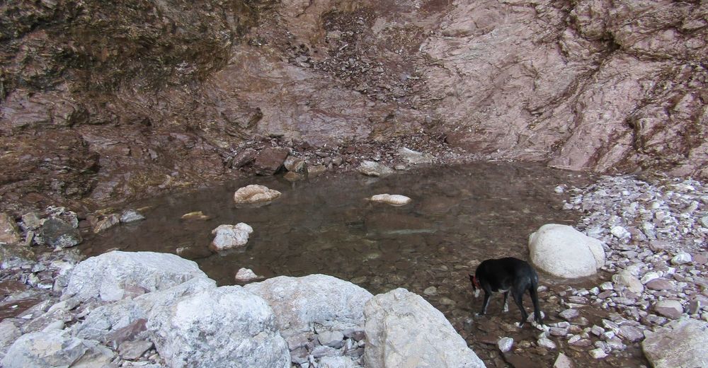
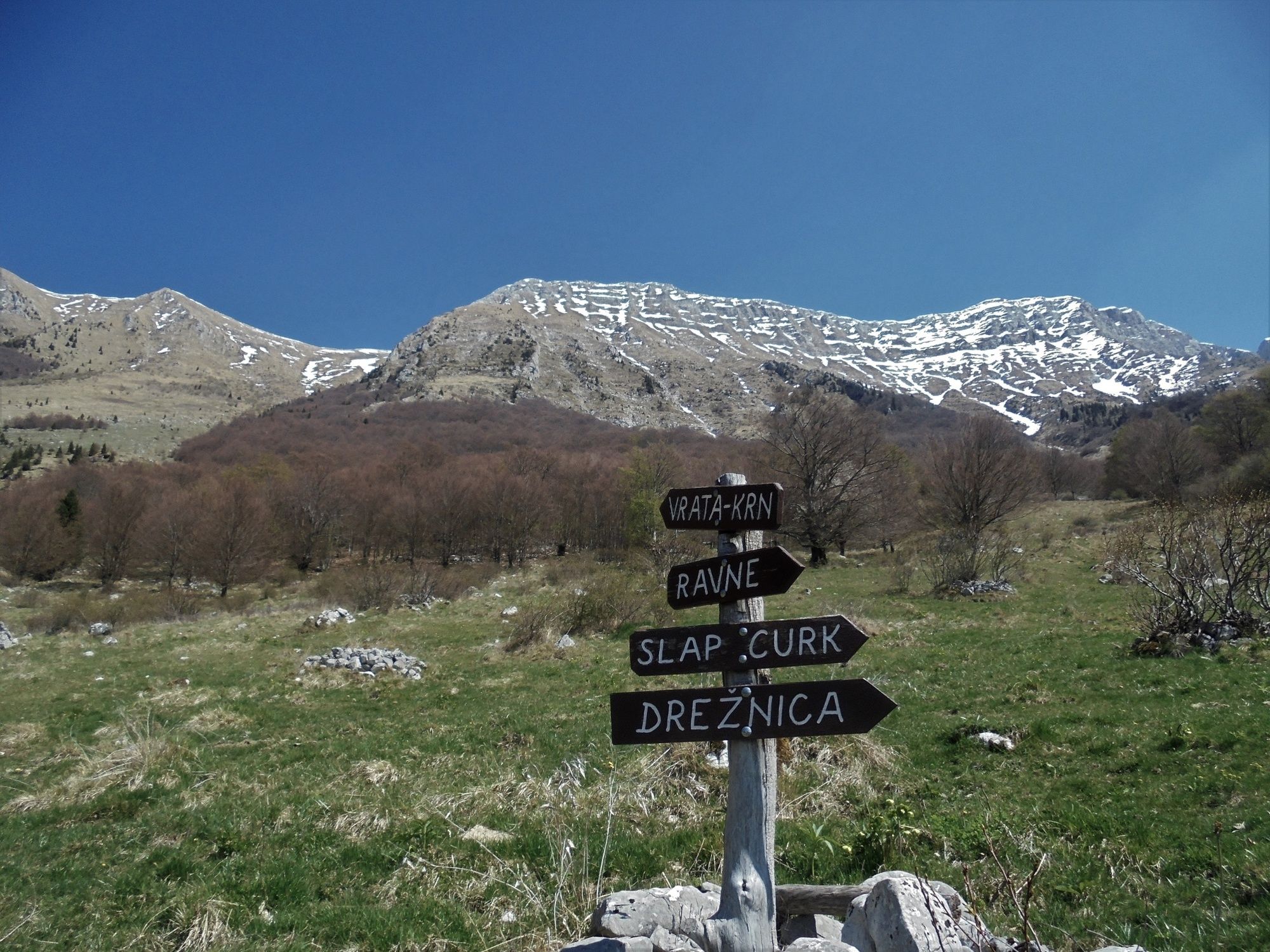
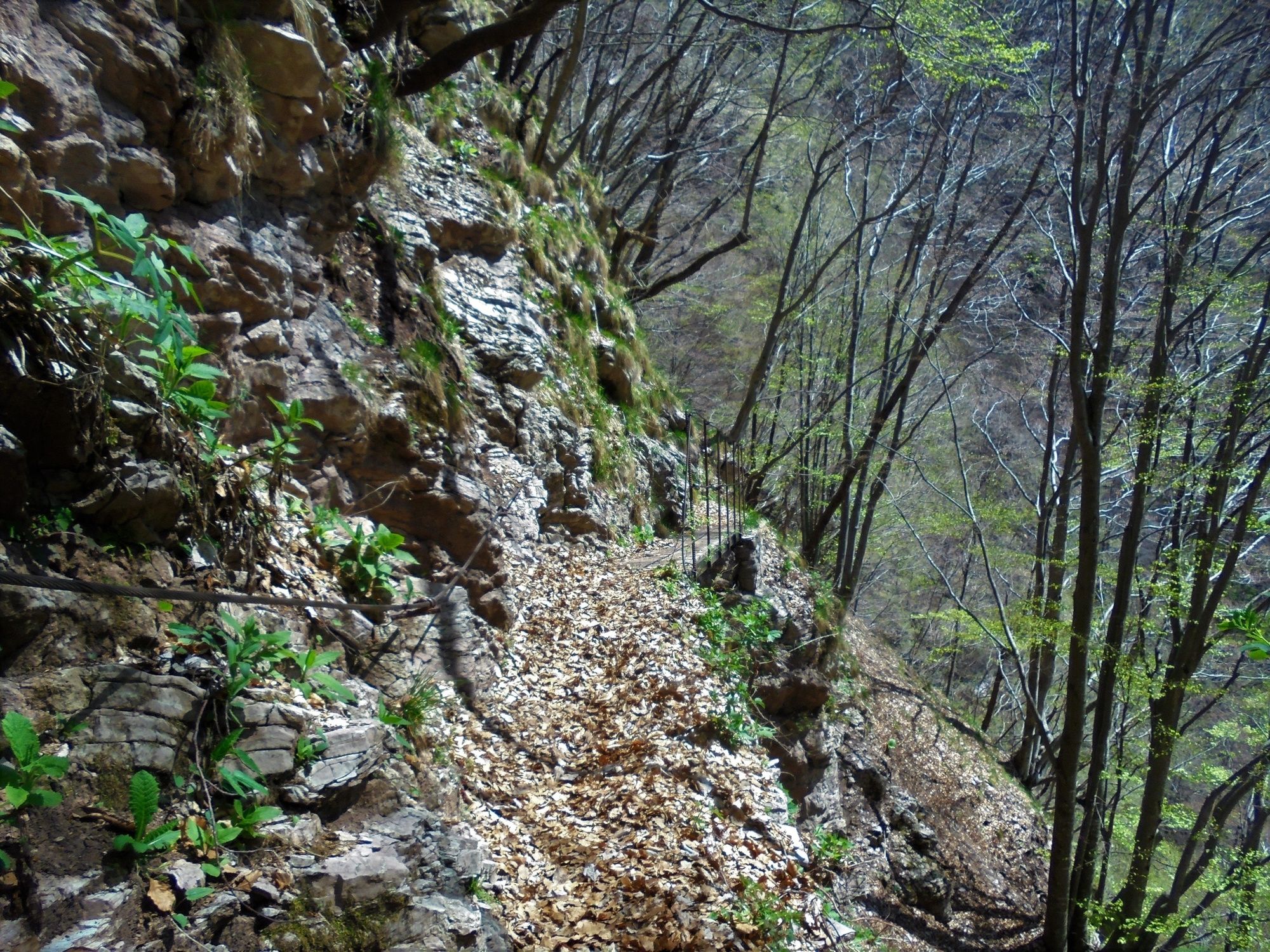
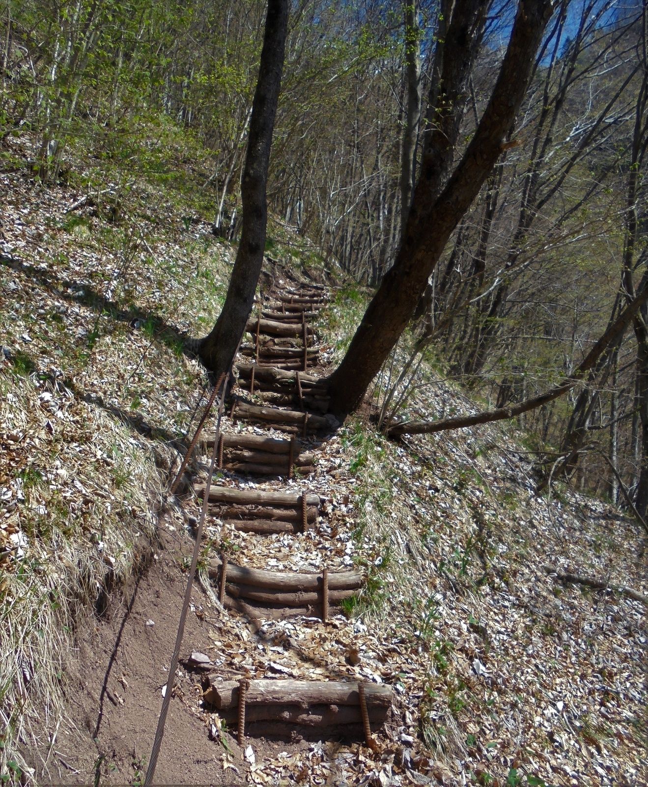
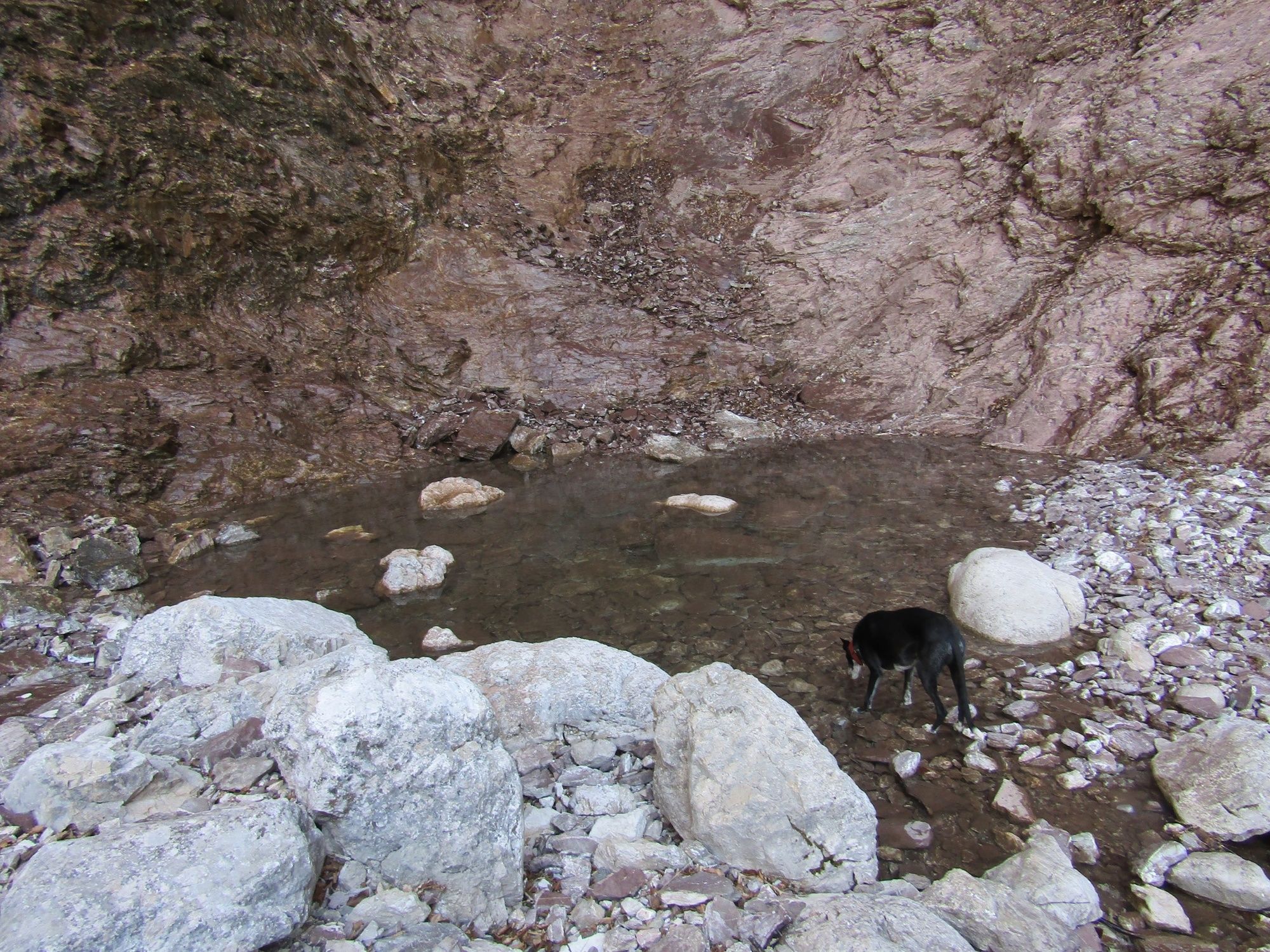
At the end of the parking lot you can notice signs for Mt. Krasji vrh, Vrata Mountain pass and the Zapleč Mountain pasture. Follow the signs for the Vrata Mountain pass and the Zapleč Mountain pasture which direct you uphill to the right towards the edge of the forest. When you leave the forest, the slope intensifies as the trail winds to the first pasture where it levels up at the trough where you can replenish your water supplies. There is a wide cart track routed above the trough. It will take you to the right above the pasture to a beautiful meadow which offers wonderful views of the valley. Enter the forest again and follow the well-worn trail which is at certain exposed sections secured with a wire rope, It leads into the ravine of the Kozjak Stream and to the first of six waterfalls – the 70-metre Curk Waterfall. Just beneath the pool into which the waterfall drops you can find the register box and a bench where you can admire the wonderful waterfall dropping across the precipitous red wall.
Return along the same trail.
- Directions
-
At the Pri koritu parking lot above the village of Drežniške Ravne start following the signs for the Vrata Mountain pass and the Zapleč Mountain pasture. The trail leads through the forest to a clearing where you notice a sign for the pasture and the Curk Waterfall. Follow the signs pointing uphill to the left to a somewhat steeper slope. When you arrive to the pasture, continue to the cart track where you can notice a sign pointing to the right towards the waterfall. Climb over the field gate and cross the meadow. At the junction next to the bench, start following the signs directing you somewhat lower. The trail will take you to the forest. Follow the secured trail to the edge of the ravine where you can already notice the waterfall.
- Highest point
- 1,094 m
- Endpoint
-
Curk Waterfall above the village of Drežniške Ravne
- Height profile
-
 © outdooractive.com
 - Equipment
-
Hiking footwear and trekking poles for those who are used to walking with them.
- Safety instructions
-
The trail is at certain sections secured with a wire rope. Nevertheless, we recommend this trail to hikers who do not suffer from vertigo.
- Tips
-
After you have visited the waterfall, continue along the trail to the Zapleč Mountain pasture and follow the access road back to the starting point. In such manner you can take a circular trail.
- Additional information
-
We recommend better prepared hikers to continue along the trail to the mountain pastures beneath Mt. Krasji vrh and to visit the Zaprikraj Outdoor museum.
- Directions
-
Follow the regional road Kobarid – Drežnica to the village of Drežniške Ravne. At the intersection, start following the signs for the Zapleč Mountain pasture.
- Public transportation
- Parking
-
Pri koritu parking lot above the village of Drežniške Ravne.

-

-
AuthorThe tour Curk Waterfall – a 70-metre waterfall above the village of Drežniške Ravne is used by outdooractive.com provided.