


- Brief description
-
This three-day hiking tour will take you to the centre of the Triglav National Park and impress you with all the beauties of the mountain area of the Julian Alps.
- Difficulty
-
difficult
- Rating
-
- Starting point
-
Parking lot in front of the Triglav National Park Information Centre Dom Trenta
- Route
-
Trentathal0.0 kmPizzerija in špageterija Trenta0.0 kmPlanina Lepoč4.7 kmTrebiški dol7.4 kmZasavska koča na Prehodavcih10.8 kmLake Ledvice High Viewpoint12.3 kmJezero v Ledvicah Viewpoint12.9 kmKoča pri Triglavskih jezerih16.0 kmPlanina na Kraju20.3 kmMajerca (1,500 m)23.1 kmBogatin-Hütte23.1 kmMonte Bogatin (1,977 m)26.7 kmPlanina Duplje32.0 kmUtro32.6 kmKrnska škrbina (2,058 m)36.8 kmKrennberg (2,244 m)37.4 kmGomiščkovo zavetišče na Krnu37.6 kmSopot44.1 kmDreschenz45.0 kmGostilna Jelkin Hram45.1 km
- Best season
-
JanFebMarAprMayJunJulAugSepOctNovDec
- Description
-
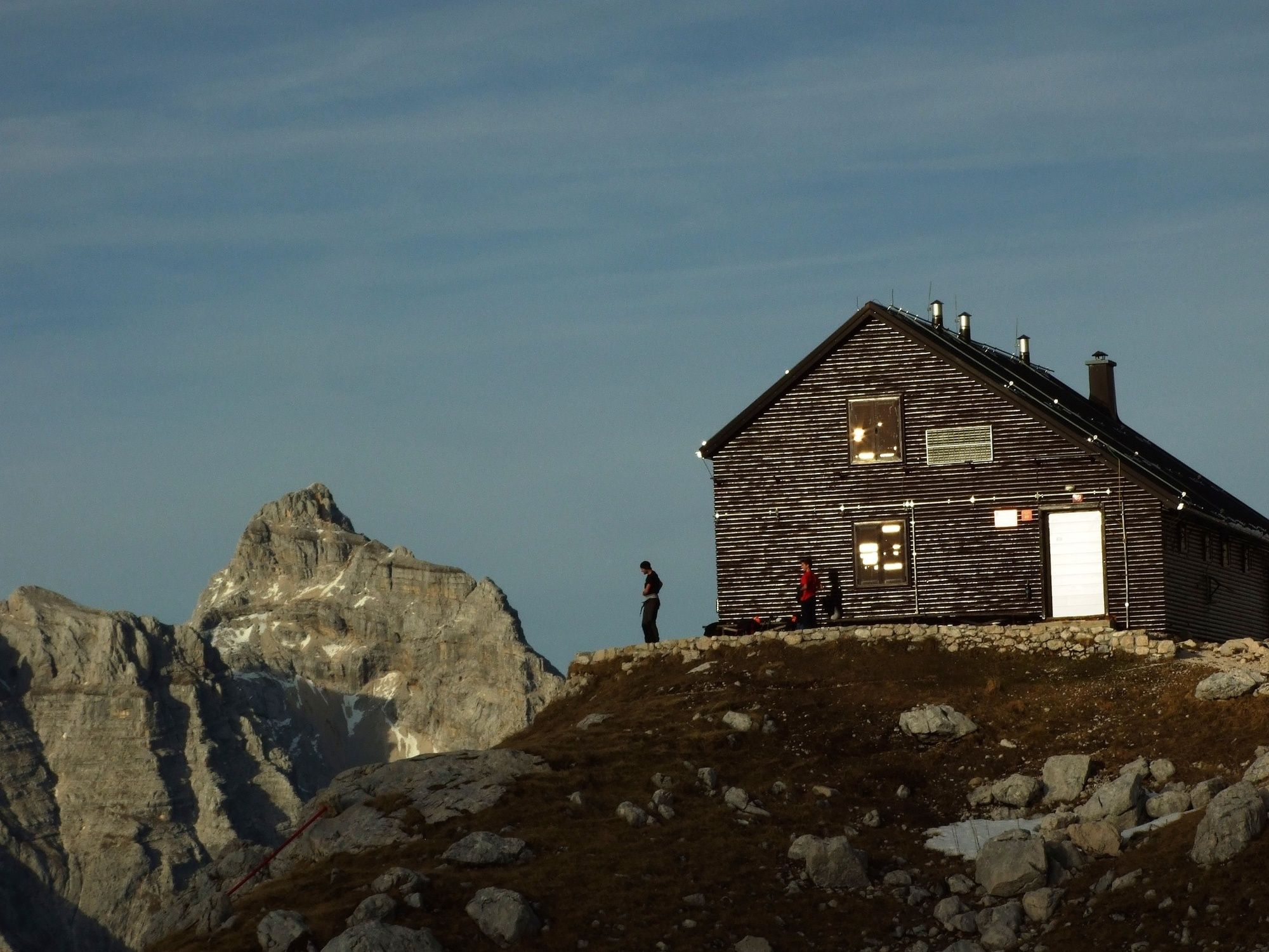
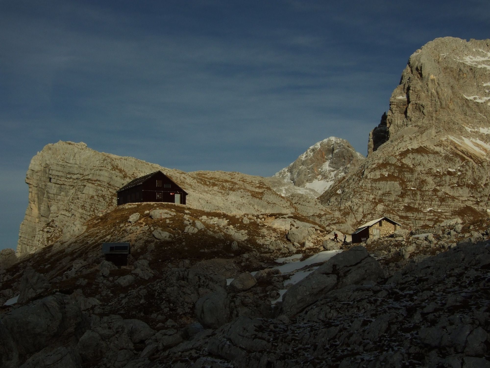
The trail starts in the wonderful Trenta Valley and continues uphill to the Zasavska koča na Prehodavcih Mountain hut (2071 m) where the Triglav (seven) Lakes Valley ends. From here, it descends along the lakes to the Koča pri Triglavskih jezerih Mountain hut (1685 m) where you will spend the first night. The second day stage leads past the Dom na Komni Mountain hut and over the Vratca Mountain pass (1803 m) where you can decide to ascend to the nearby Mt. Bogatin (1977 m) - to the Koča pri Krnskih jezerih Mountain hut (1385 m) - where the second day stage of the hike in the Julian Alps ends. The third day stage will take you past the Krn Lake to the highest point of the tour - the historical Mt. Krn (2244 m), a mighty sightseeing hill above the Soča Valley, and down its south-west slope to the village of Drežnica where the tour in the Julian Alps ends.
- Directions
-
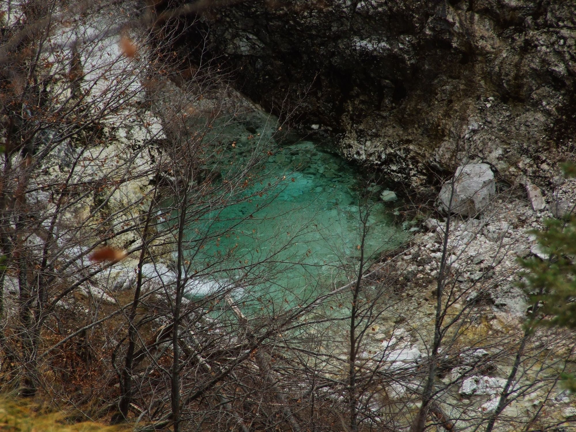
This almost 50-kilometre and three-day-long tour starts in the village of Trenta located in the upper part of the Soča Valley. Park your vehicle at the parking lot in front of the Triglav National Park Information Centre Dom Trenta (in the immediate vicinity of the bus stop). Start walking in the direction of the town of Bovec and after approximately 300 metres turn on the gravel road leading uphill towards the Lepoč Mountain pasture. After a couple of hundred of metres of the gravel road, turn on the gradually ascending marked hiking trail leading across the Trebiški dol Mountain pasture to the junction for the Zadnjica Valley and the Prehodavci Mountain pass. From here on, you can admire the ingeniousness of the constructors of this former military supply road from World War I practically all the way to the mountain hut. The trail does not require great effort and is logically routed to the Zasavska koča Mountain hut on the Prehodavci Mountain pass. After you have refreshed yourself and enjoyed in views of the major part of the Julian Alps (Mt. Razor, Mt. Prisojnik and Mt. Jalovec), continue along the marked and well-worn trail downhill to the Triglav (seven ) Lakes Valley. Along this trail you will have a chance to see almost all of the lakes, however, we would like to ask you not to bath in these lakes because this is the cause of their pollution. After approximately eight hours of walking you will notice the lovely Koča pri Triglavskih jezerih Mountain hut where you will spend your first night.
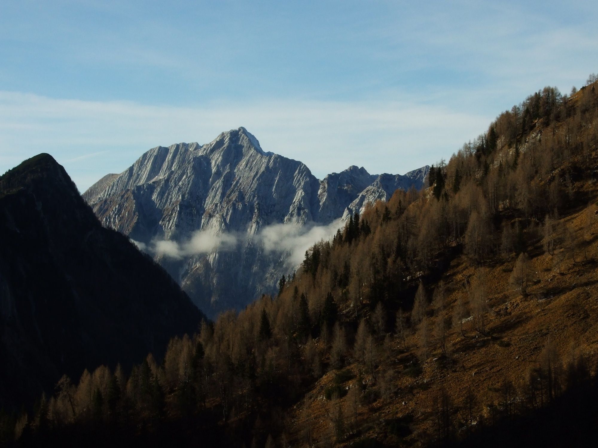
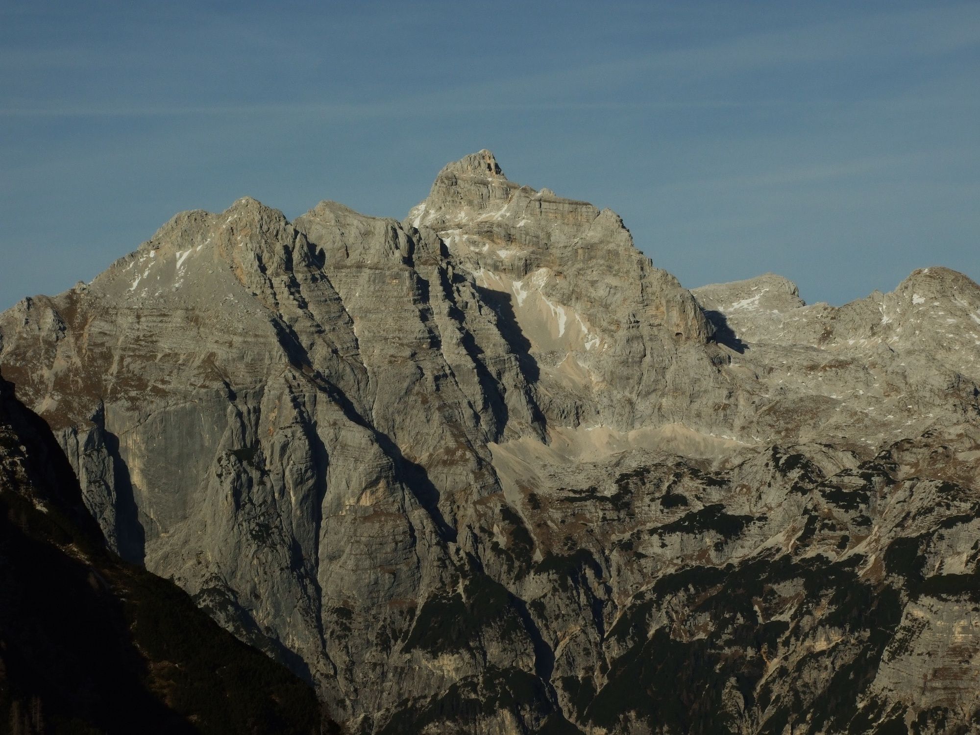
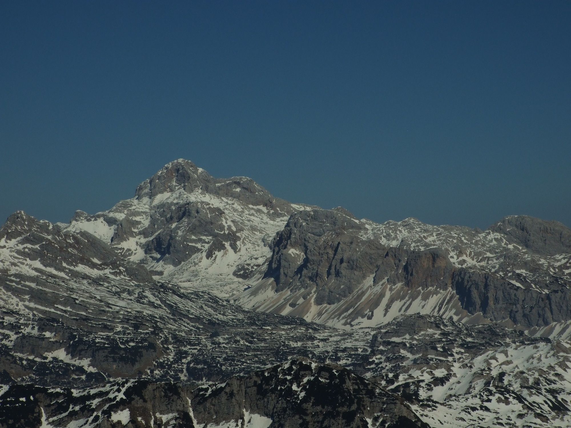
The next day, start walking towards the Koča pod Bogatinom Mountain hut which you will reach after approximately three hours of walking in a wonderful ambient of high-mountain larches and pine trees. After you have refreshed yourself, continue uphill towards the Vratca Mountain pass (1803 m). From here, you only have to walk for approximately another hour in order to reach the nearby Mt. Bogatin (1977 m) which offers splendid views of almost all of the trail you already made and of course of the prominent Mt. Triglav (2864 m). Return to the mountain pass along the same trail you came from and slowly continue past the ruins of the former military facilities from World War I towards the Duplje Mountain pasture and the nearby Dom pri Krnskih jezerih Mountain hut (1385 m). After an entire day of walking you will certainly enjoy resting at the mountain hut amongst the mighty and peaceful mountain pine trees.
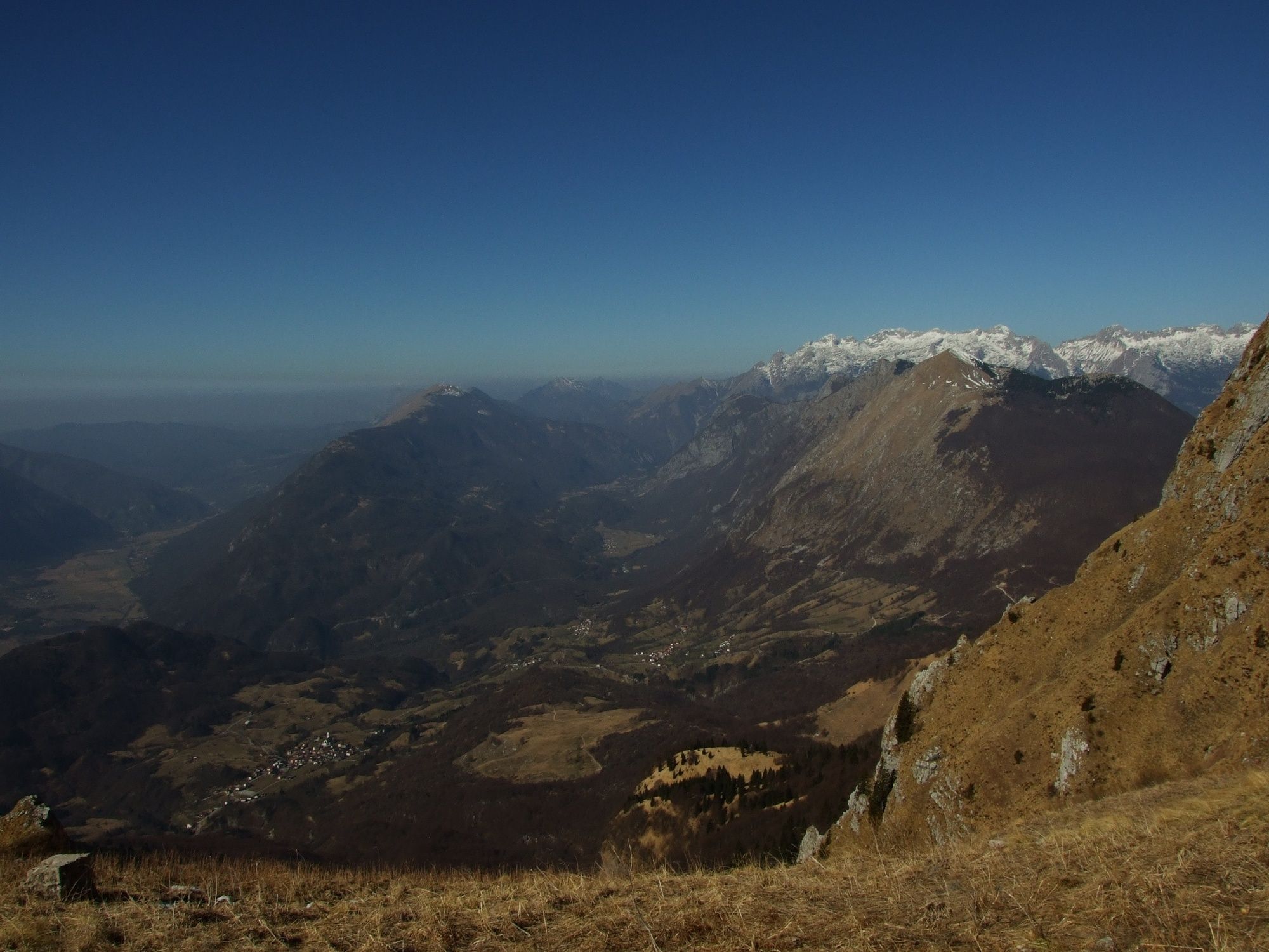
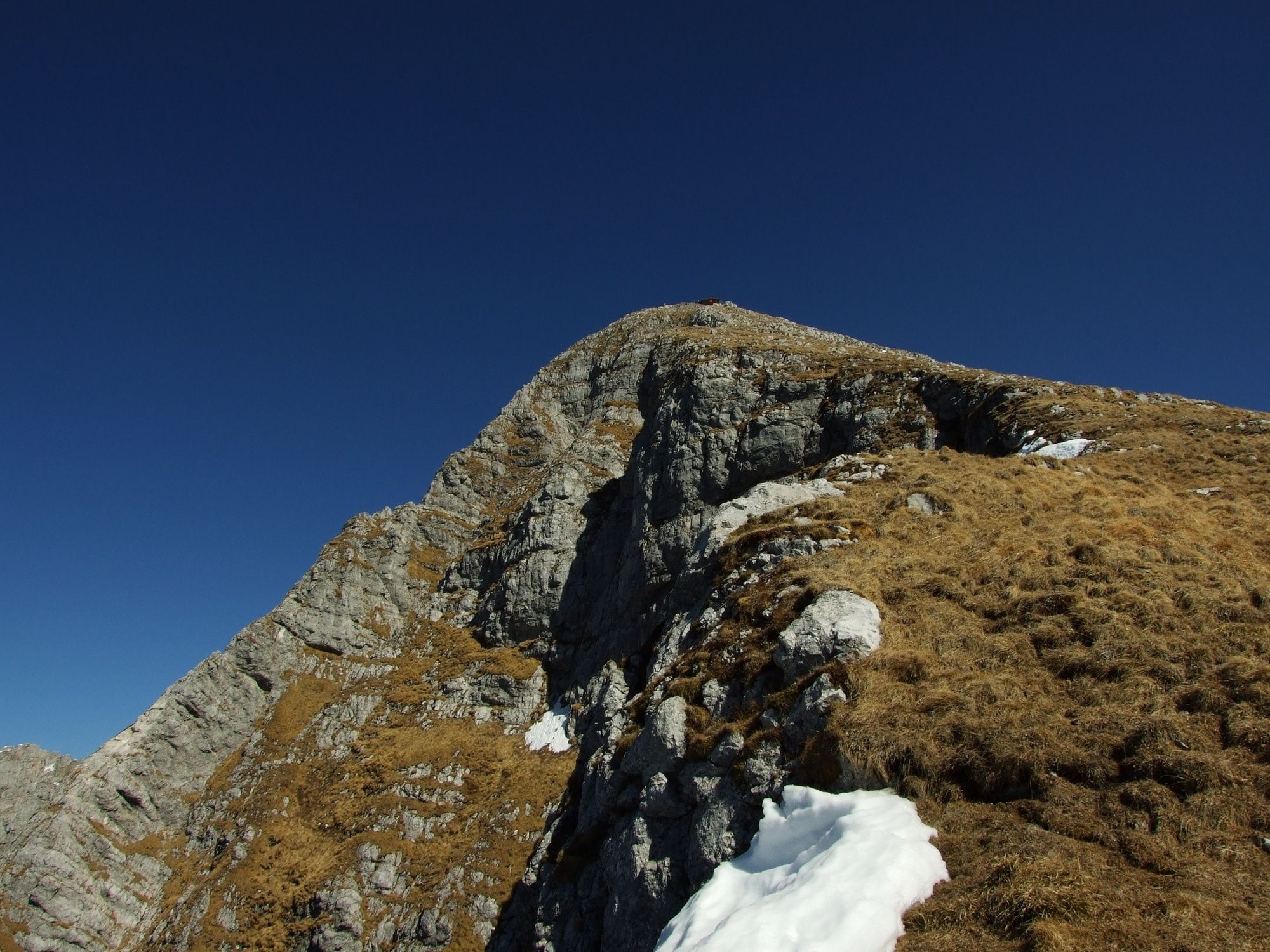
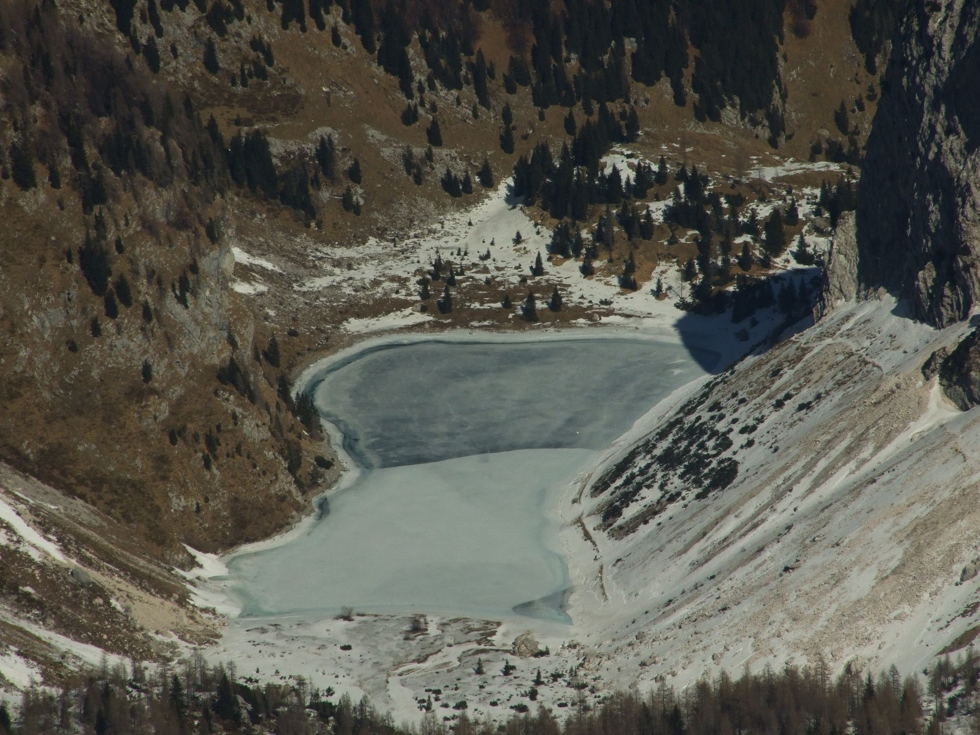
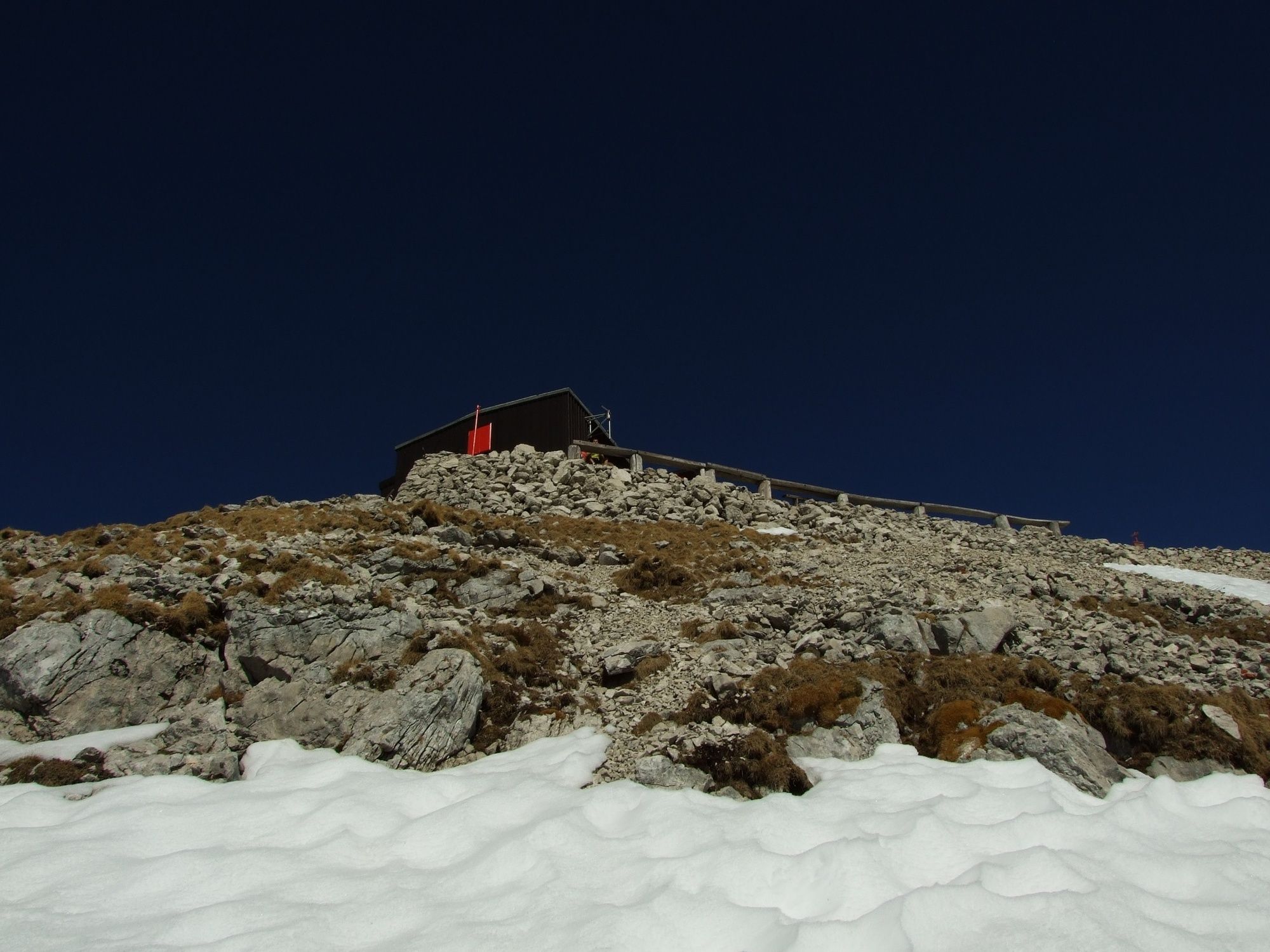
On the third day you will only need fifteen minutes of walking in order to reach the Krn Lake – the pearl among the Slovenian Alpine lakes. Above the lake, the trail starts to gradually ascend to the top of Mt. Krn (2245 m) - the highest summit you will conquer on the entire tour. Just beneath the summit you can refresh yourself at the Gomiščkovo zavetišče Mountain hut where you can also spend the night if the weather deteriorates or if you become too tired. From here, you will descend to the village of Drežnica along the usual hiking trail (you will avoid the Silvo Koren climbing trail because it is too demanding for a descent). After the entire day of walking you will reach the idyllic village of Drežnica in the afternoon, Here you can choose between several accommodation options or engage a transportation provider to drive you to the nearby town of Kobarid. If you are staying in the upper part of the Soča Valley make sure not to miss the last bus to the town of Bovec which leaves at 21:00.
If you believe that daily stages are too long or too difficult you can also prolong the tour to four or five days.
- Highest point
- 2,211 m
- Endpoint
-
Jelkin hram Guesthouse with accommodation in the village of Drežnica
- Height profile
-
 © outdooractive.com
 - Equipment
-
Good mountaineering footwear, trekking poles, protection headgear, clothing for two days, cape, first aid kit, sufficient supply of drinks, eventual sleeping bag.
- Safety instructions
-
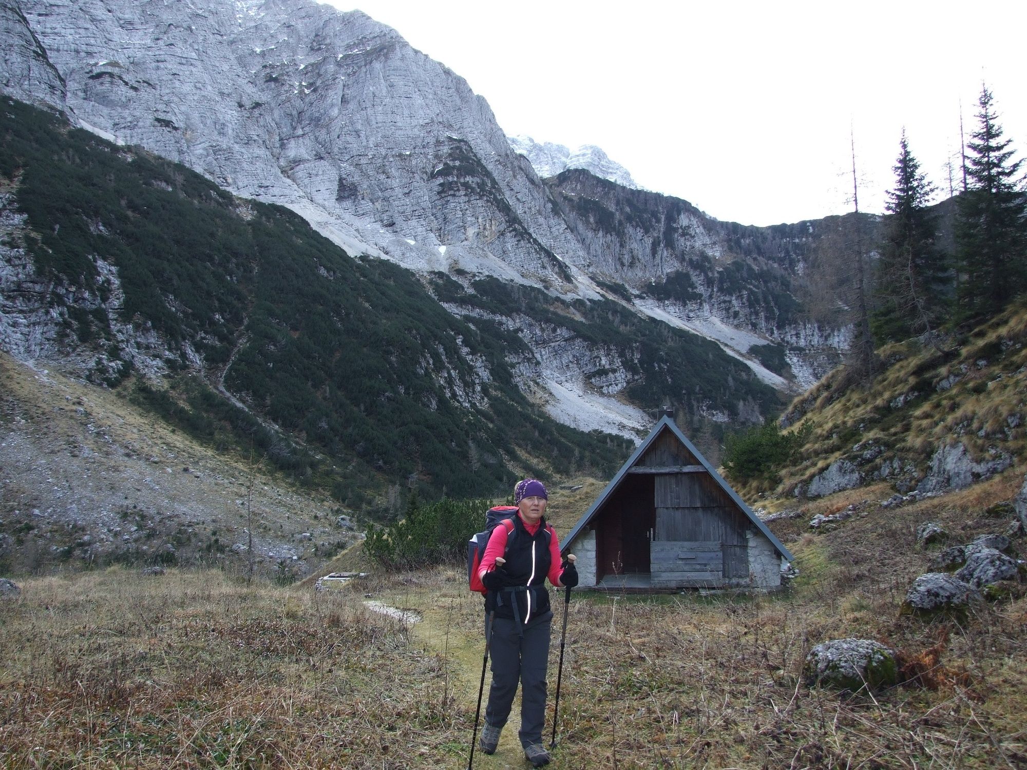
The entire trail is routed along practically non-hazardous hiking trails. If the weather goes bad, you can find shelter in at least five mountain huts along the trail. Use of the hiking trails is at your own risk! The majority of the trail is very exposed to the sun, which is why we recommend you to use protection headgear and protective creams. We advise you not to take this trail in full winter conditions. If you intend to take this tour during the winter months you should be particularly cautious when ascending from the Trenta Valley to the Prehodavci Mountain pass because you will have to cross several active avalanche areas. You can find bivouacs (unfortunately not staffed) next to all mountain huts along the trail.
- Tips
-
This tour is appropriate for physically well-prepared hikers as well as families with adult children.
- Additional information
-
The tour is undemanding but long in terms of time and distance, which is why we recommend it only to physically well-prepared mountaineers. If you believe that the distance and strain are too great for three days you can prolong the tour and make it in four days. In this case we recommend you to spend the first night at the Zasavska koča na Prehodavcih Mountain hut, the second night at the Koča pod Bogatinom Mountain hut and the third night at the Gomiščkovo zavetišče Mountain hut on Mt. Krn. We recommend inexperienced mountaineers to hire a mountain guide https://www.soca-valley.com/sl/dolina-soce/ponudniki-storitev/vodniki/.
For more information about hiking trails visit www.pzs.si.
During the summer months it is almost mandatory to book accommodation in the mountain huts.
- Directions
-
This tour starts in the village of Trenta by the national road No. 206.
- Public transportation
-
From June to the end of September, there is a bus line connecting the village of Trenta with the towns of Bovec and Kranjska Gora.
In July and August there is a Hop On Hop Off shuttle bus running from the town of Kobarid to the village of Drežnica and back.
- Parking
-
There is a free unsecured parking lot available next to the Triglav National Park Information Centre Dom Trenta.
-

-
AuthorThe tour Three-day hiking tour to the Triglav Lakes and Mt. Krn (2244 m) is used by outdooractive.com provided.


General info
-
Wörthersee - Rosental
1944
-
Goriška
377
-
Trenta
152


