


- Brief description
-
This trail leads from the pleasant shade of the Gozdec forest to the Karst world of the Kaninski podi Plateau and the high-altitude Western Julian Alps.
- Difficulty
-
medium
- Rating
-
- Starting point
-
Parking lot beneath Mt. Veliki Skedenj approximately 1 km from station B of the Kanin cableway
- Route
-
Vodni vir1.2 kmLasca Plagna (2,448 m)5.9 kmVodni vir10.6 km
- Best season
-
JanFebMarAprMayJunJulAugSepOctNovDec
- Description
-
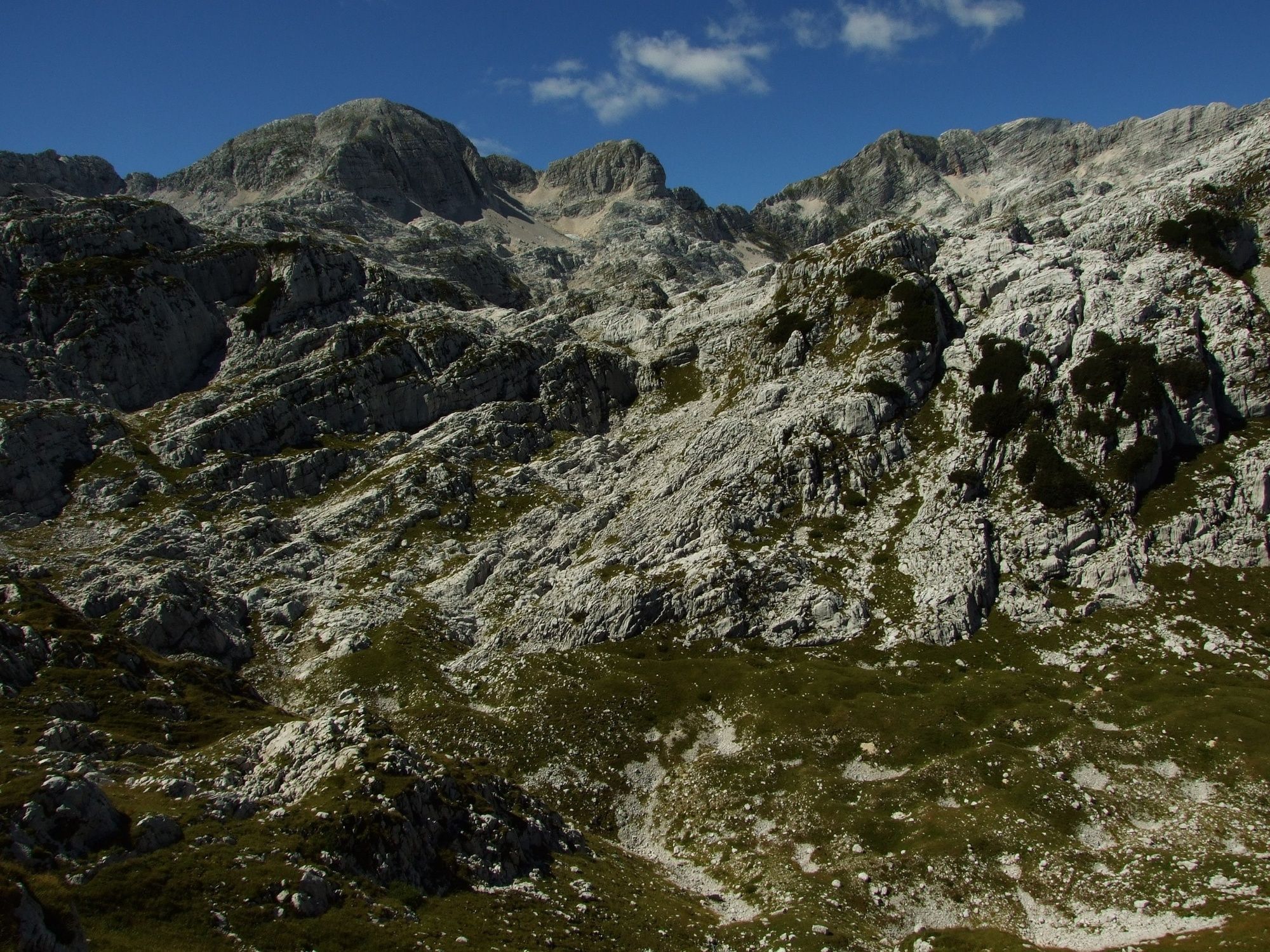
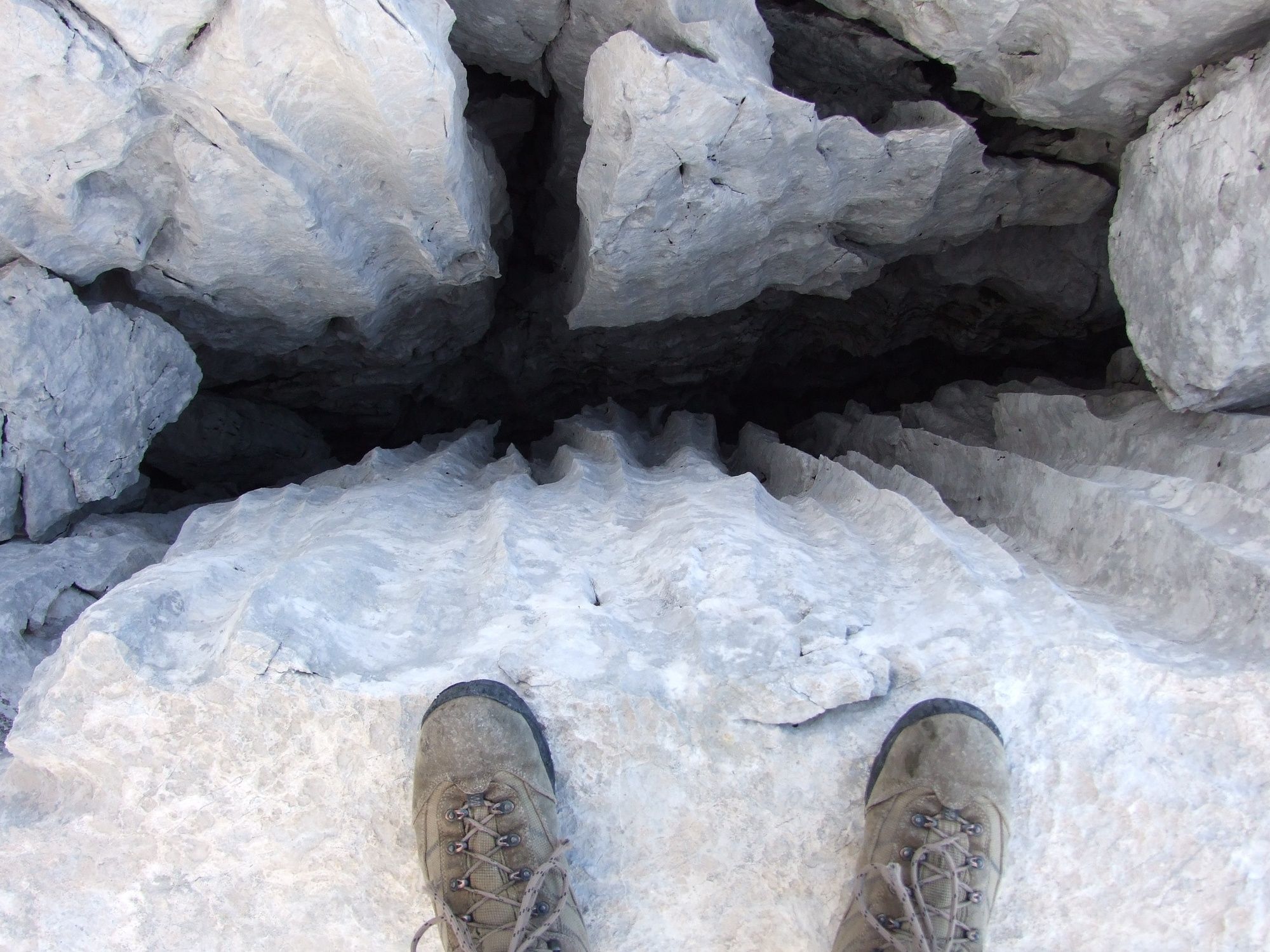
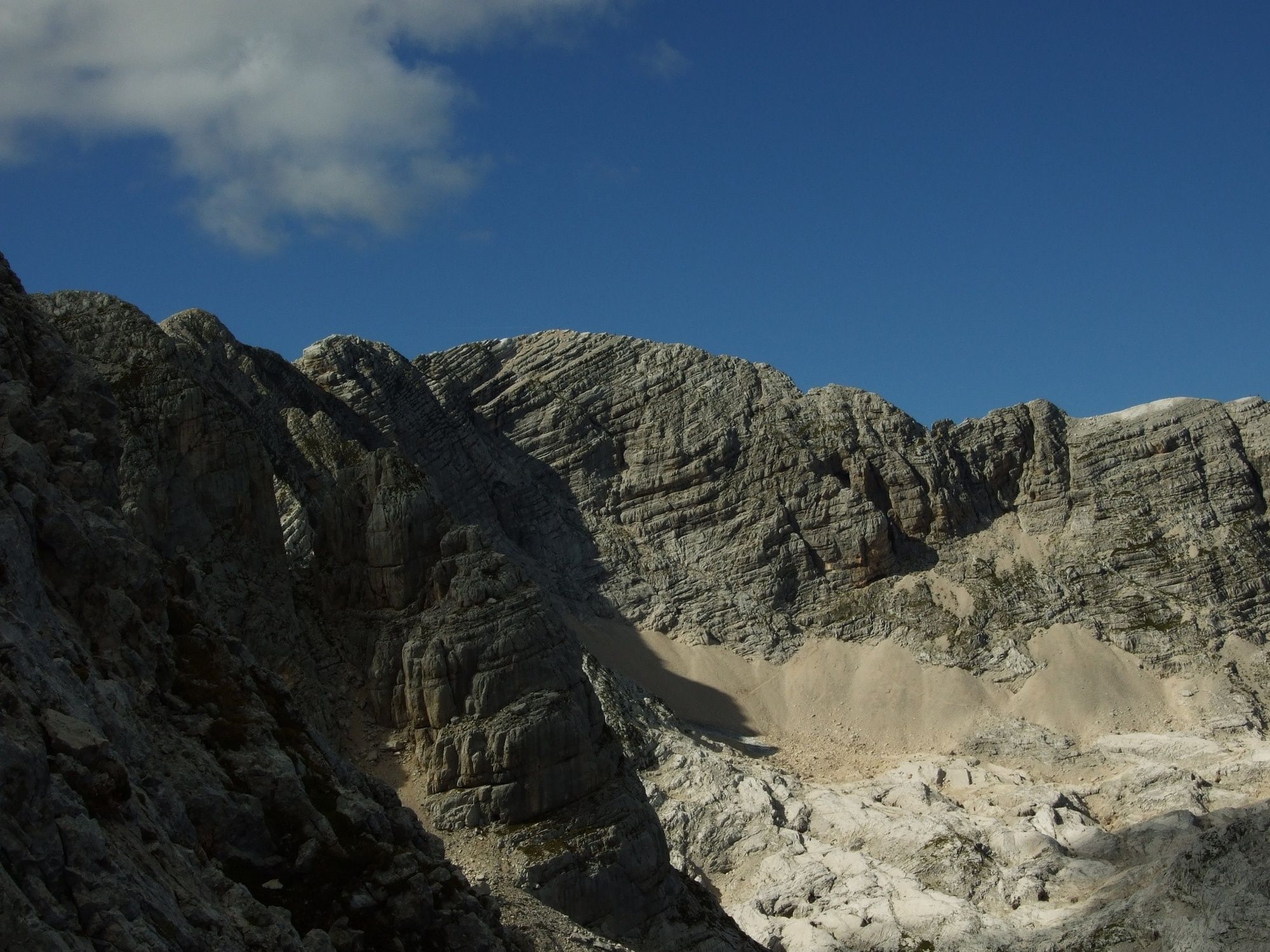
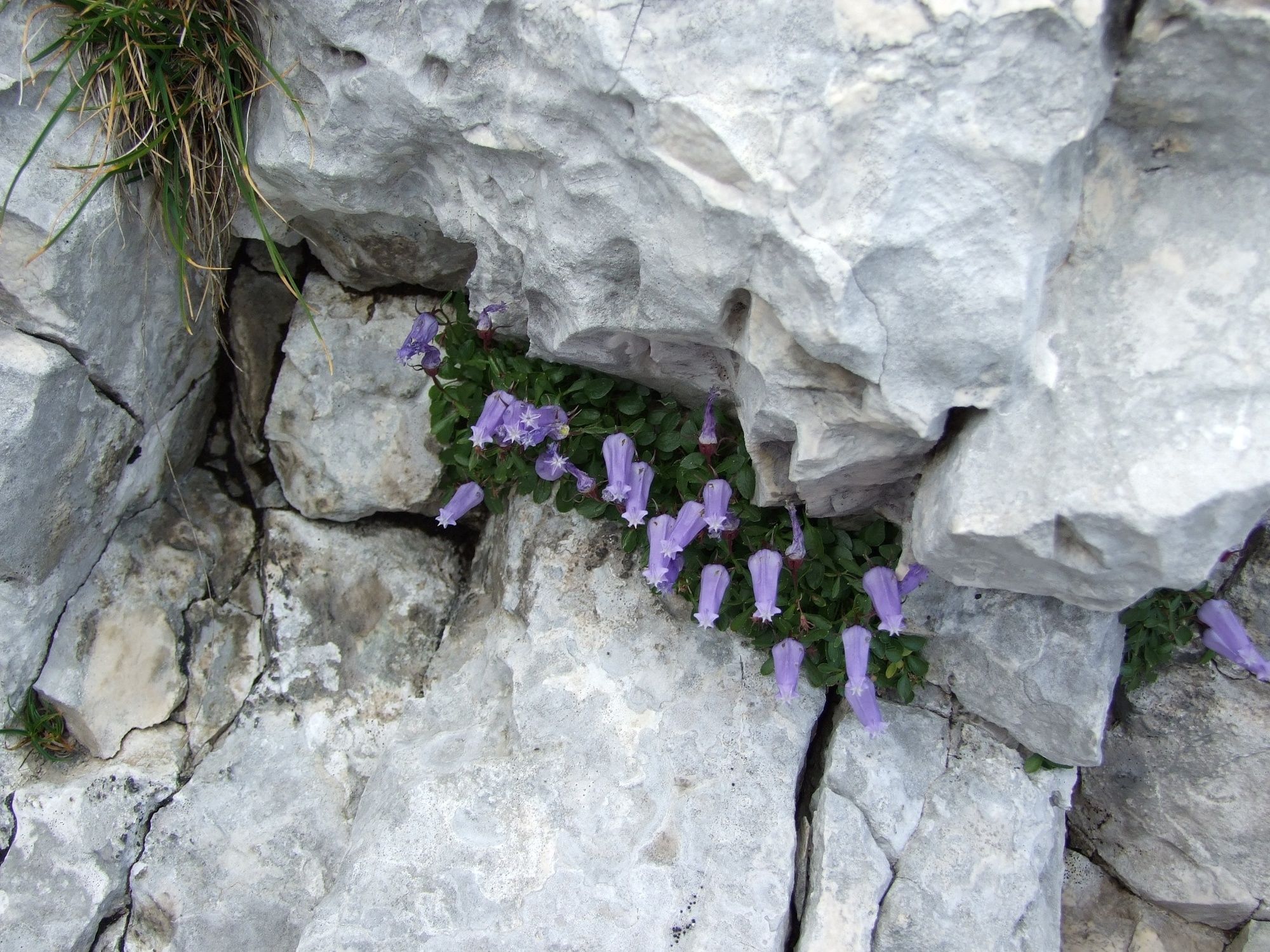
This hiking tour is exciting for all fauna and flora enthusiasts as well as geologists and speleologists. Be careful though: Despite the Kaninski podi Plateau having the word »podi« (floors) in the name, we are still talking about a very dynamic high-altitude Karst world with numerous natural sights but also traps, which is why caution is advised.
- Directions
-
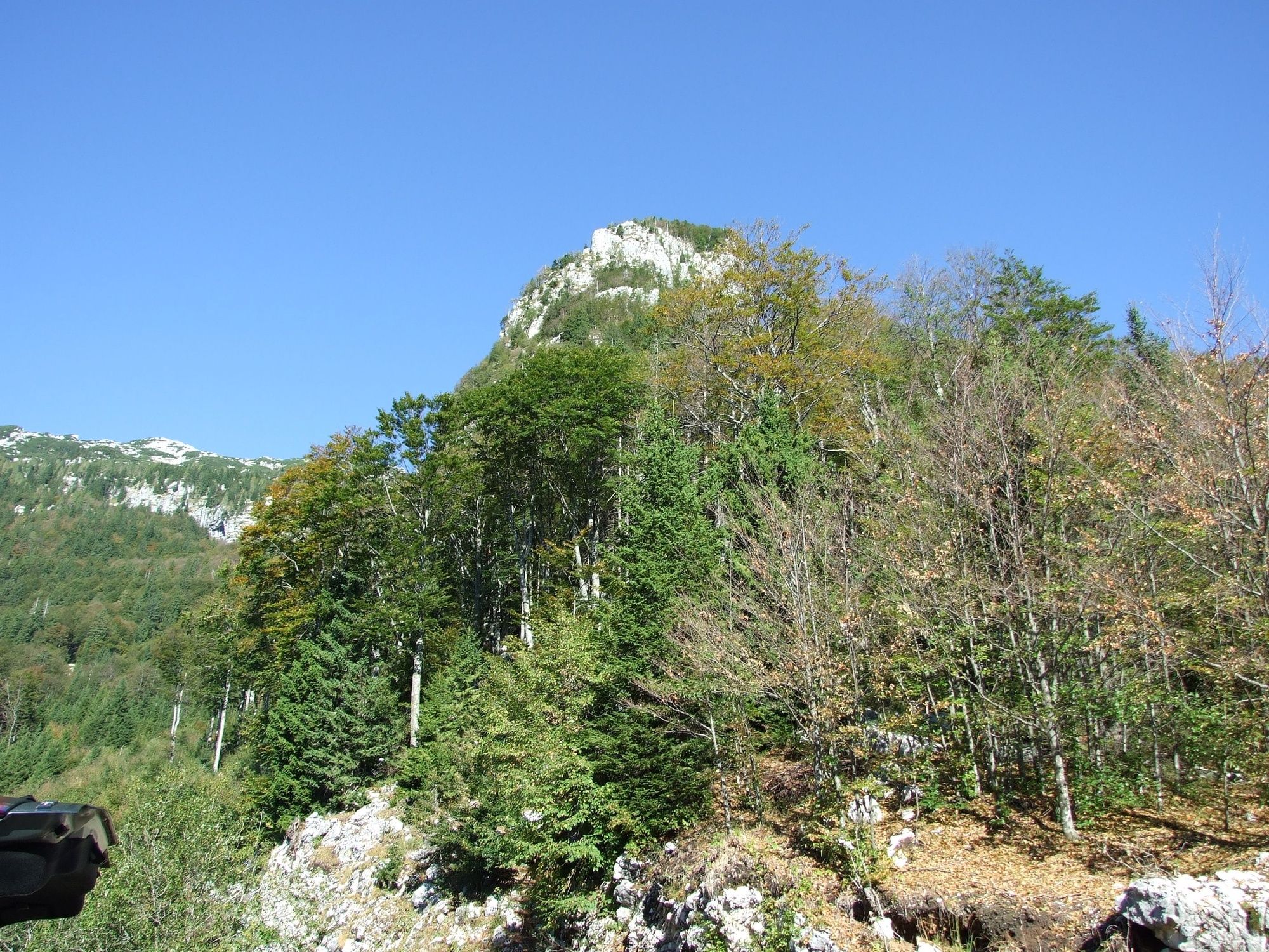
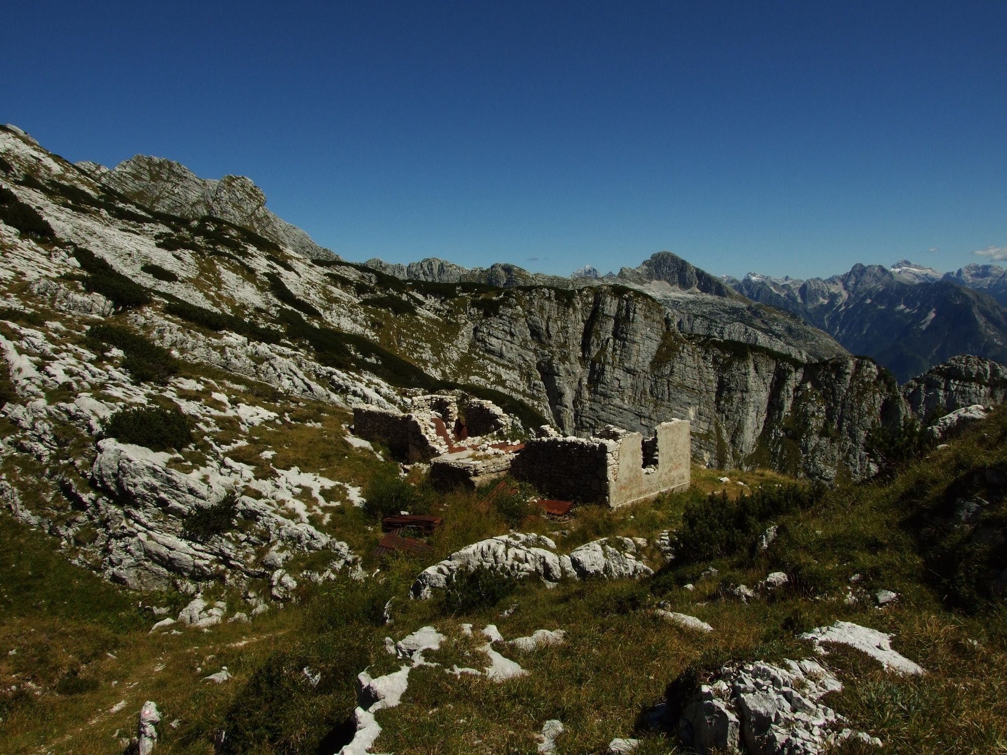
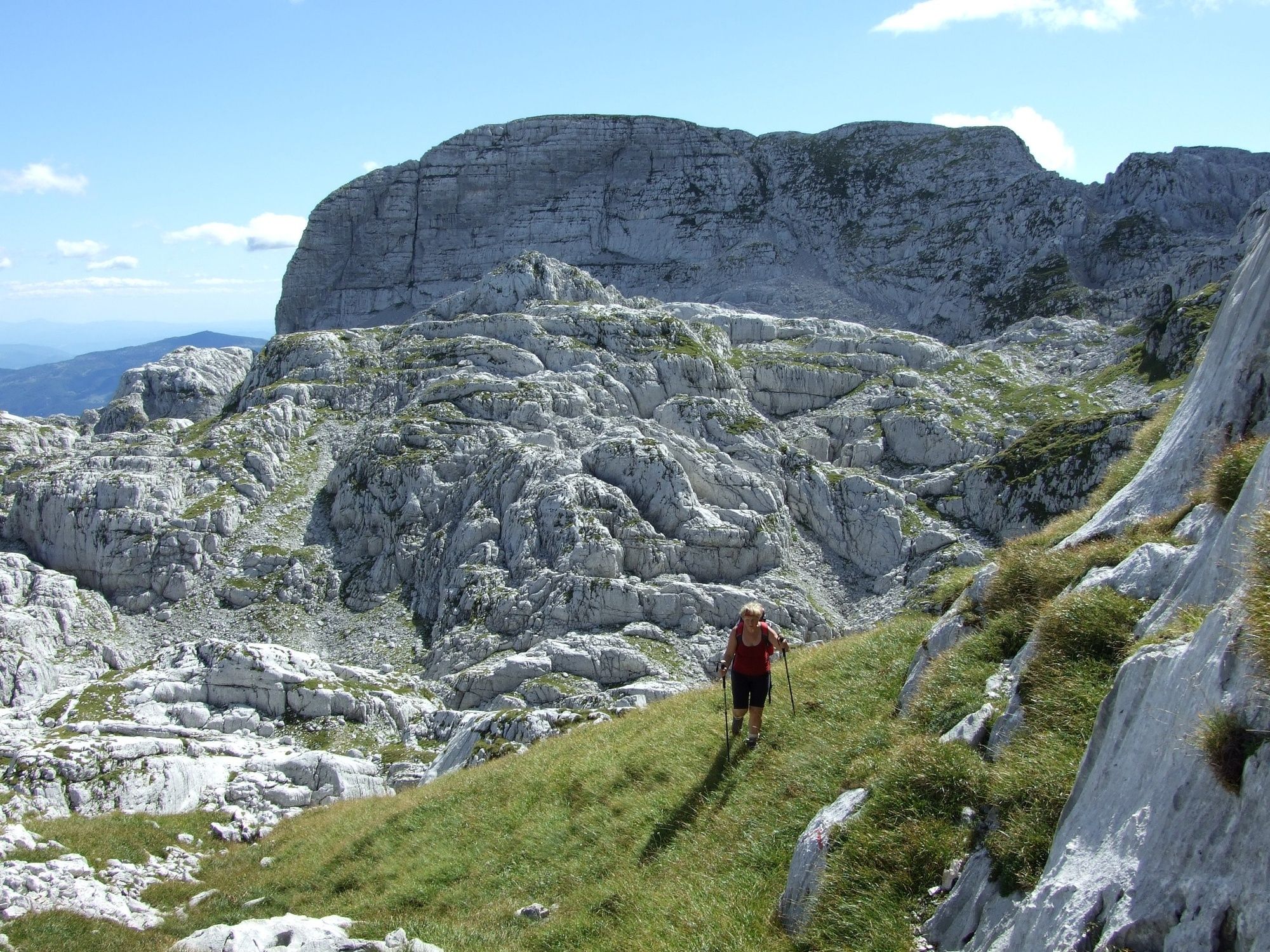
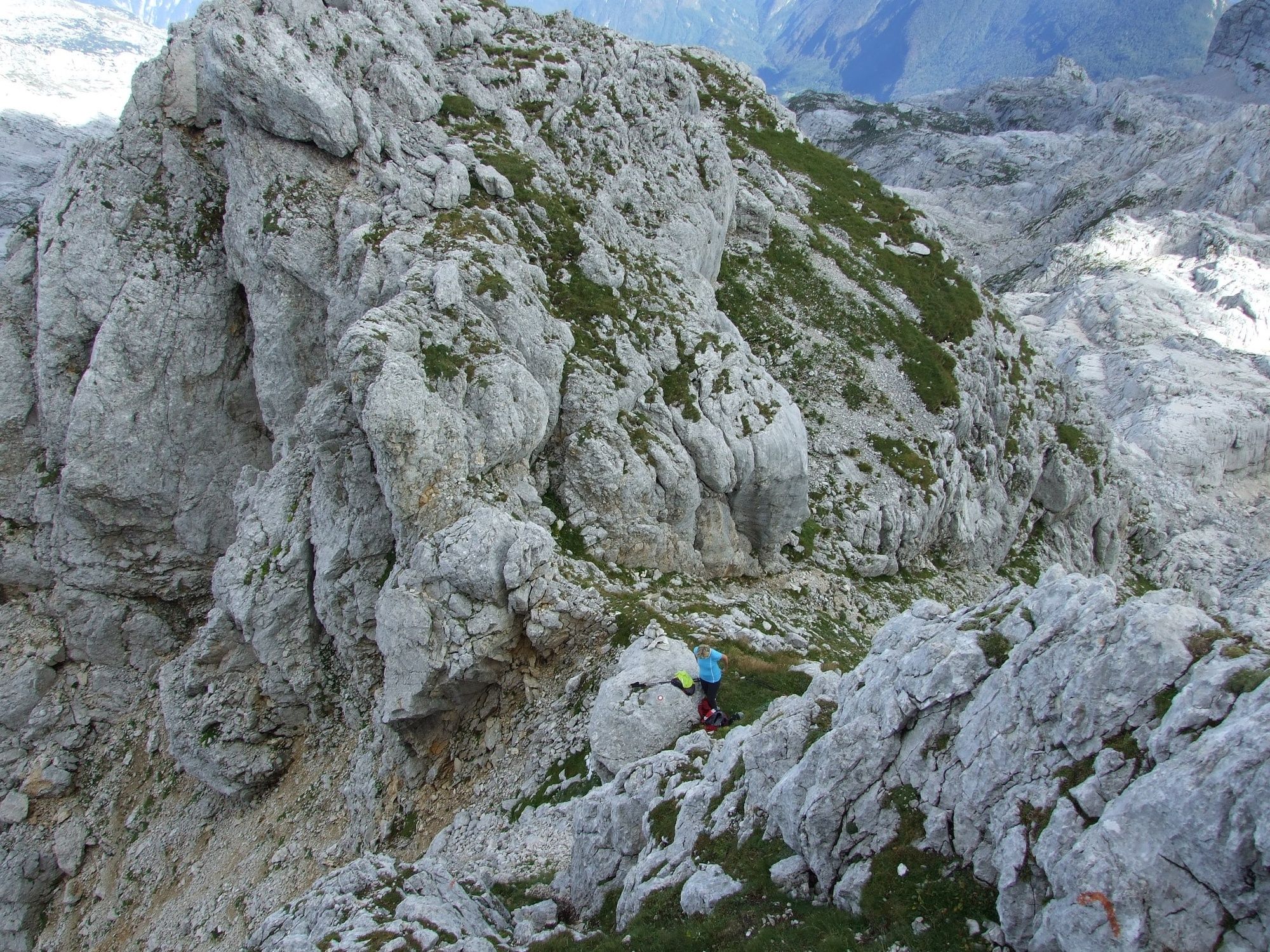
This tour starts at a small parking lot beneath Mt. Veliki Skedenj next to the gravel road leading to station B of the Kanin cableway beneath Kopa. Because the trail is initially routed beneath the vertical wall of Mt. Veliki Skedenj we advise you to wear the safety helmet at this section (approx. 500 m) because of the occasional rocks that fall down this wall. The trail then continues along hairpin bends above the tree line and reaches the ruins of the old Petra Skalarja Mountain hut. From here, the trail is routed along a less steep terrain and enters the area of the dynamic Kaninski podi Plateau. Initially, you follow the marked hiking trail towards Mt. Kanin until you reach a large Karst sinkhole where you turn to the left. From this point on, the signs become less visible and scarce. In case of foggy weather we advise you not to continue along the trail because you can easily get lost due to the very dynamic terrain.
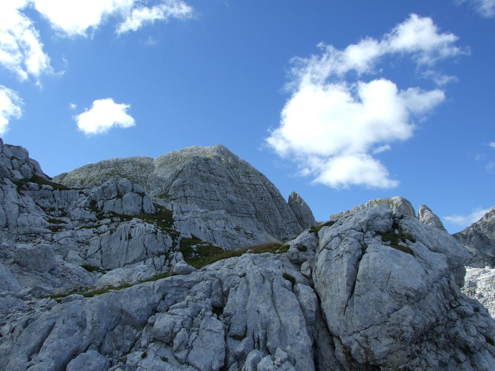
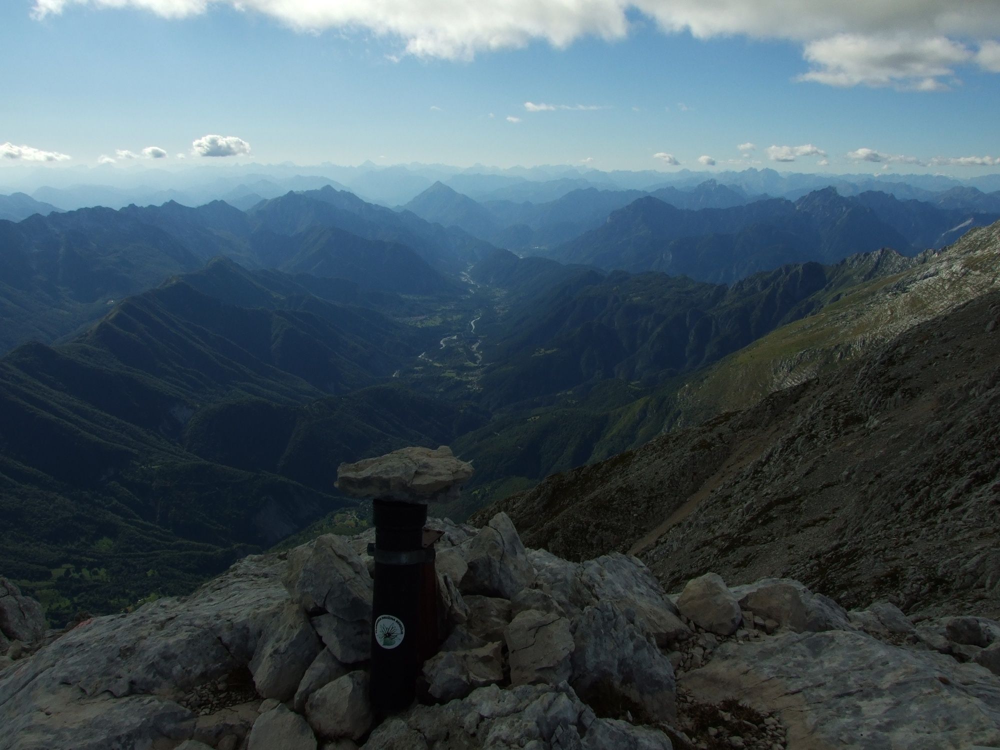
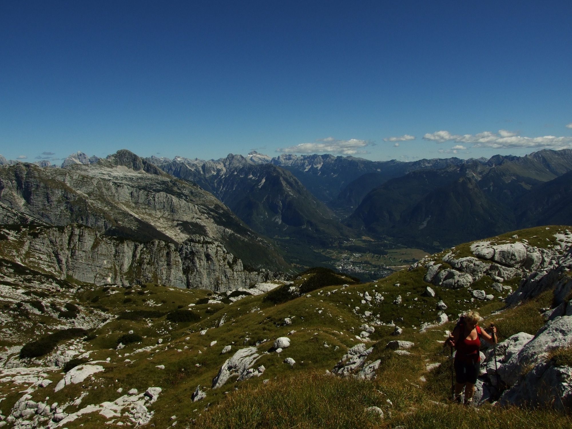
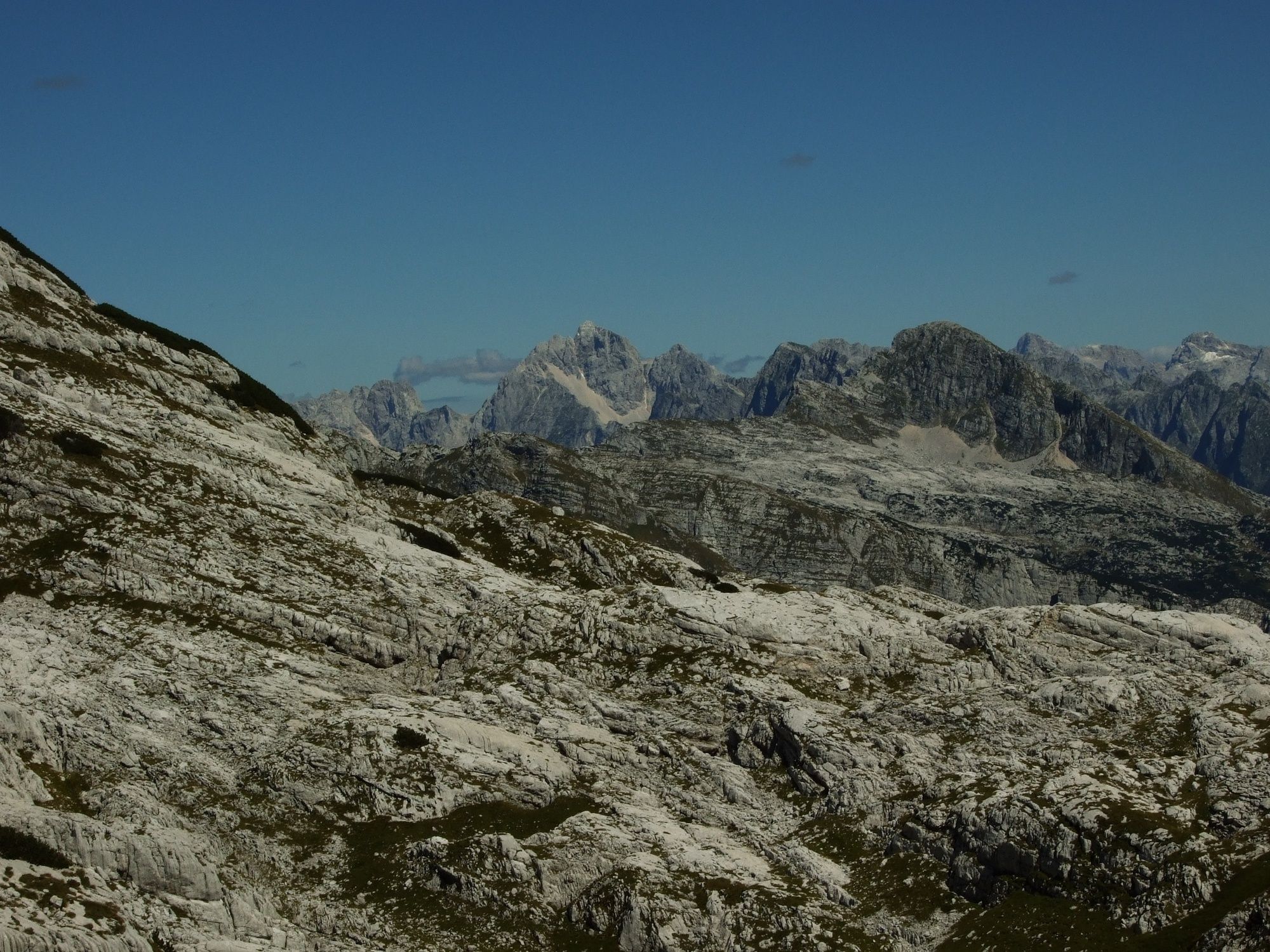
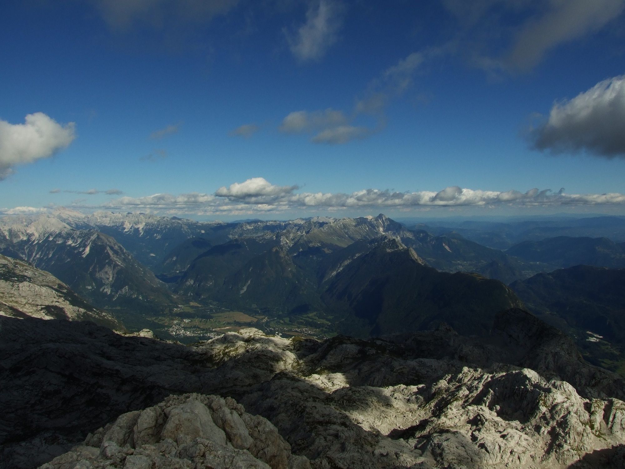
Before you reach the final ascent beneath the top of the mountain the trail crosses several limestone pavements and ocassionally also crumbly sections, which is why caustion is advised. The last section of the trail to the top of the mountain is relatively steep but technically undemanding. On the top (2448 m) you will be able to enjoy in splendid views of the Resia Valley, entire Kanin Mountain range with the highest summit Mt. Kanin in the north and almost entire Julian Alps in the east.
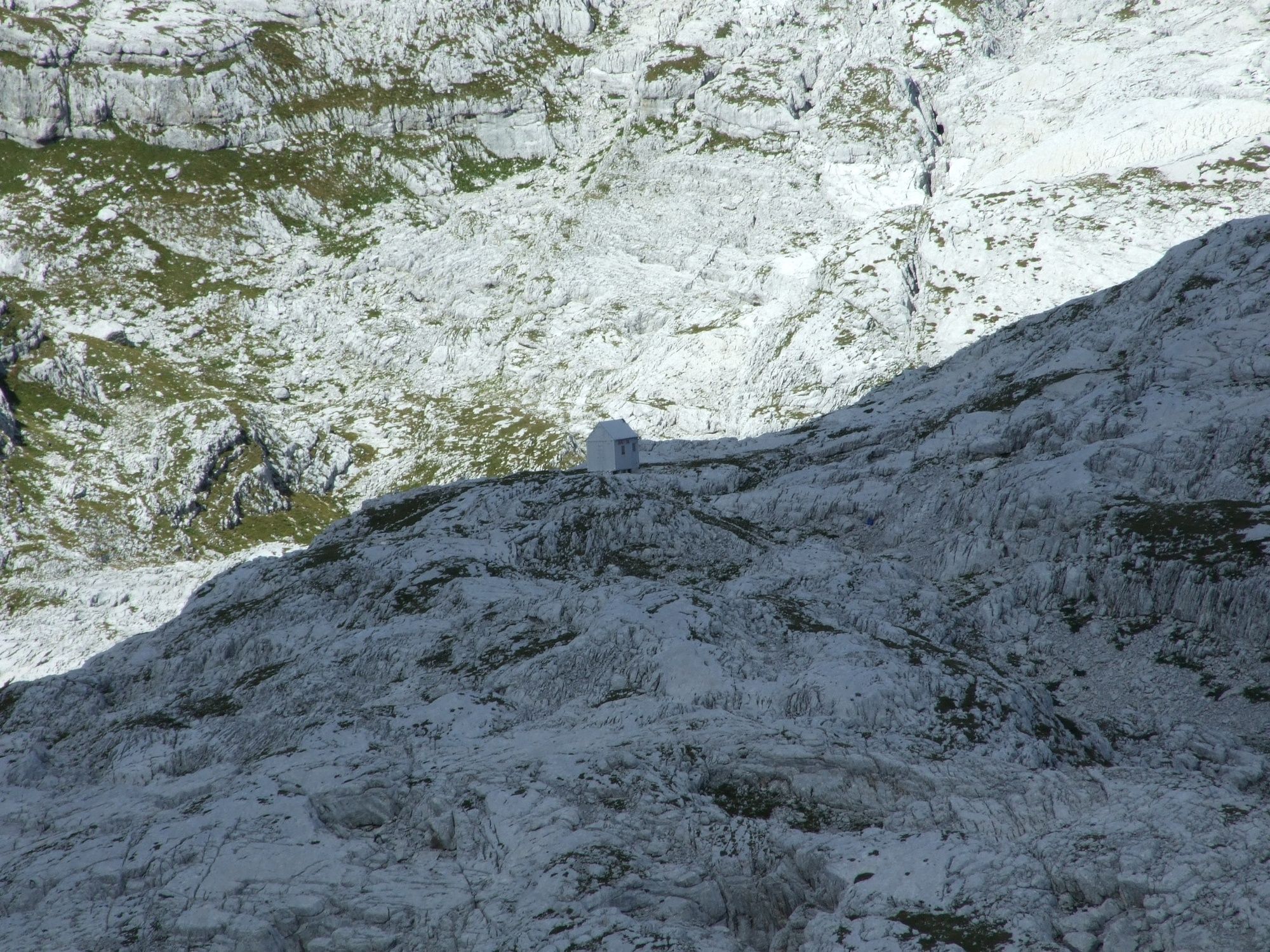
You should return along the same trail you came from. If the weather really deteriorates (or in case of a planned two-day tour) you can take refuge in the Petra Skalarja Mountain hut or the nearby bivouac, but take into account that it will take you approximately an hour of walking from the junction located in the sinkhole.
Plan to finish the tour at the parking lot when there is still some daylight left because it gets really dark in the forest and walking is practically impossible without the headlight.
- Highest point
- 2,404 m
- Endpoint
-
Mt. Vrh Laške Planje (2448 m)
- Height profile
-
 © outdooractive.com
 - Equipment
-
Quality hiking footwear, trekking poles, helmet, battery powered headlight, quality warm and waterproof clothing with protection against cold and rain.
- Safety instructions
-
We advise you no to take this tour in foggy, rainy or cloudy weather. The area is full of visible and hidden Karst precipices. The slope towards the top of the mountain is quite steep and includes crumbly sections. We strongly advise you not to take this tour during the winter months because of the numerous avalanche passages as well as due to the fact that Karst precipices are covered with snow deposits. Thunderstorms can be very intensive in this area during the summer months.
The trail is partially routed along an easy marked hiking trail. Use of hiking trails is at your own risk!
- Tips
-
Plan to take the tour in stable and reliable weather conditions because you can easily get lost on the vast rocky area of the Kaninski podi Plateau.
- Additional information
-
Before you start the tour, check the weather forecast for the area of Mt. Kanin and the Western Julian Alps.
The gravel road from the town of Bovec to the starting point is occasionally in bad condition. In this case we recommend you to use the Kanin cableway to station B. This will prolong the total walking time for approximately 45 minutes.
We recommend inexperienced and orientation less experienced mountaineers to hire a local mountain guide. The best season to visit the Kanin Mountain range is usually in September.
- Directions
-
In the centre of Bovec drive towards the Church of St. Urh and continue for approximately one kilometre along the paved road where you turn to the gravel road towards the Gozdec forest. Pass the station B of the Kanin cableway and continue for approximately another kilometre until you reach the starting point. If you decide to use the Kanin cableway, exit at station B and continue on foot for another kilometre along the gravel road to the starting point beneath Mt. Veliki Skedenj.
- Parking
-
Small parking lot next to the gravel road beneath Mt. Veliki Skedenj.

-

-
AuthorThe tour Mt. Vrh Laške Planje (2448 m) is used by outdooractive.com provided.


")
