Historical ridge trail from the Vrata Mountain Pass to Mt. Vršič (1897 m)


- Brief description
-
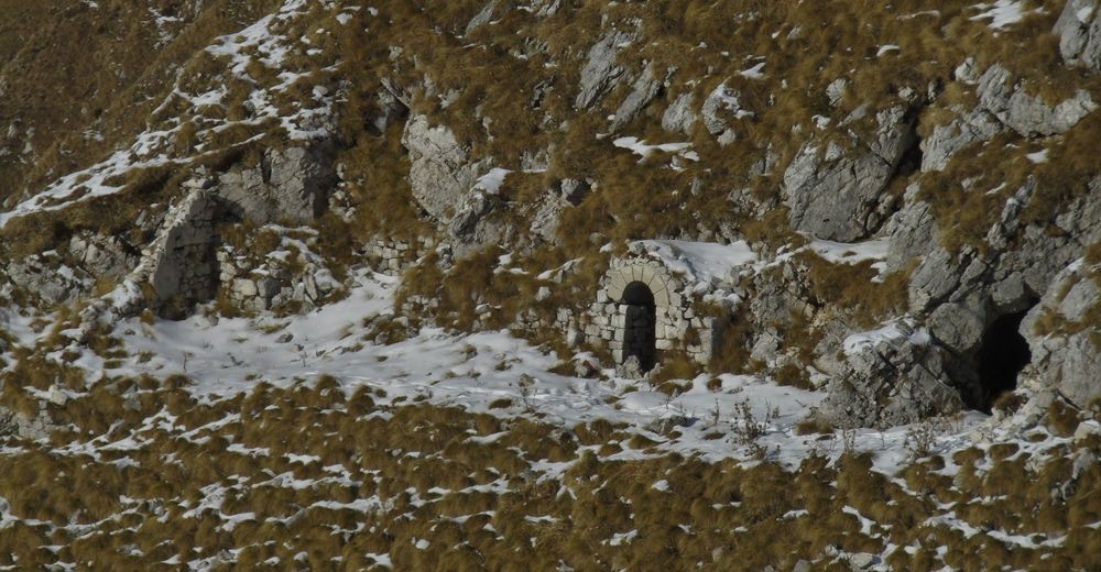
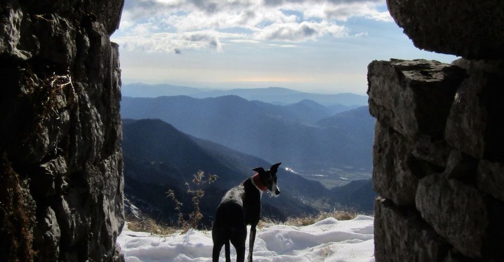
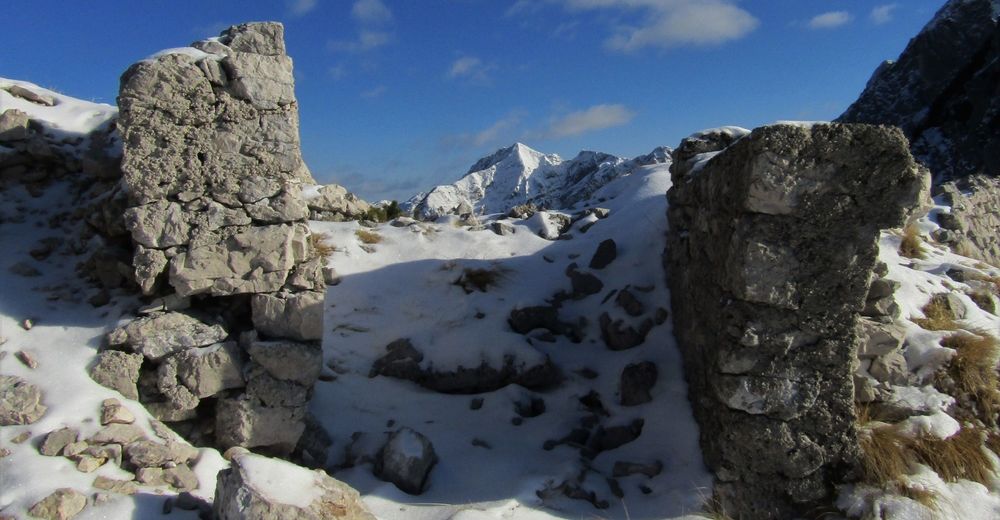
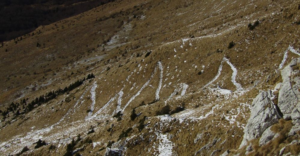
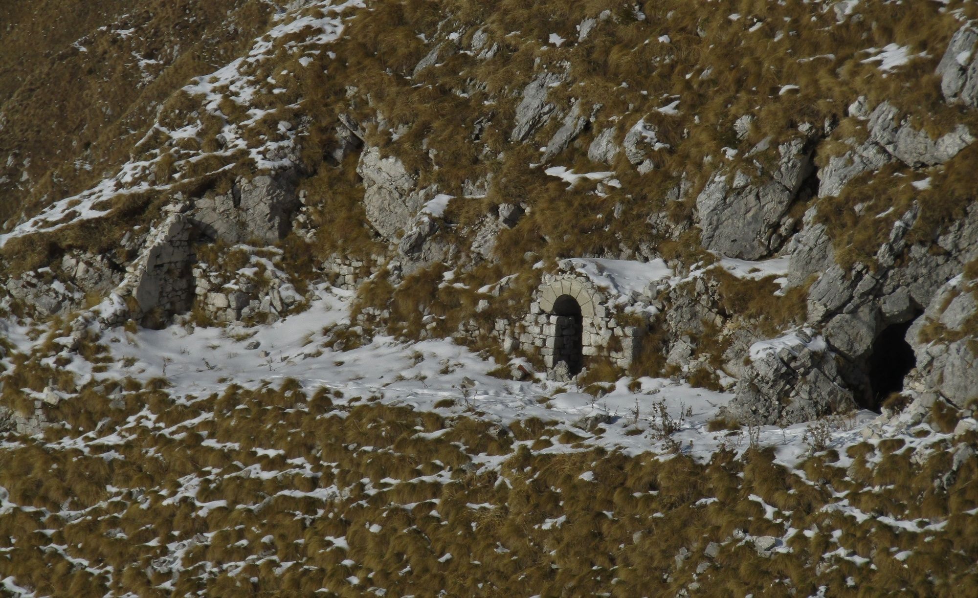
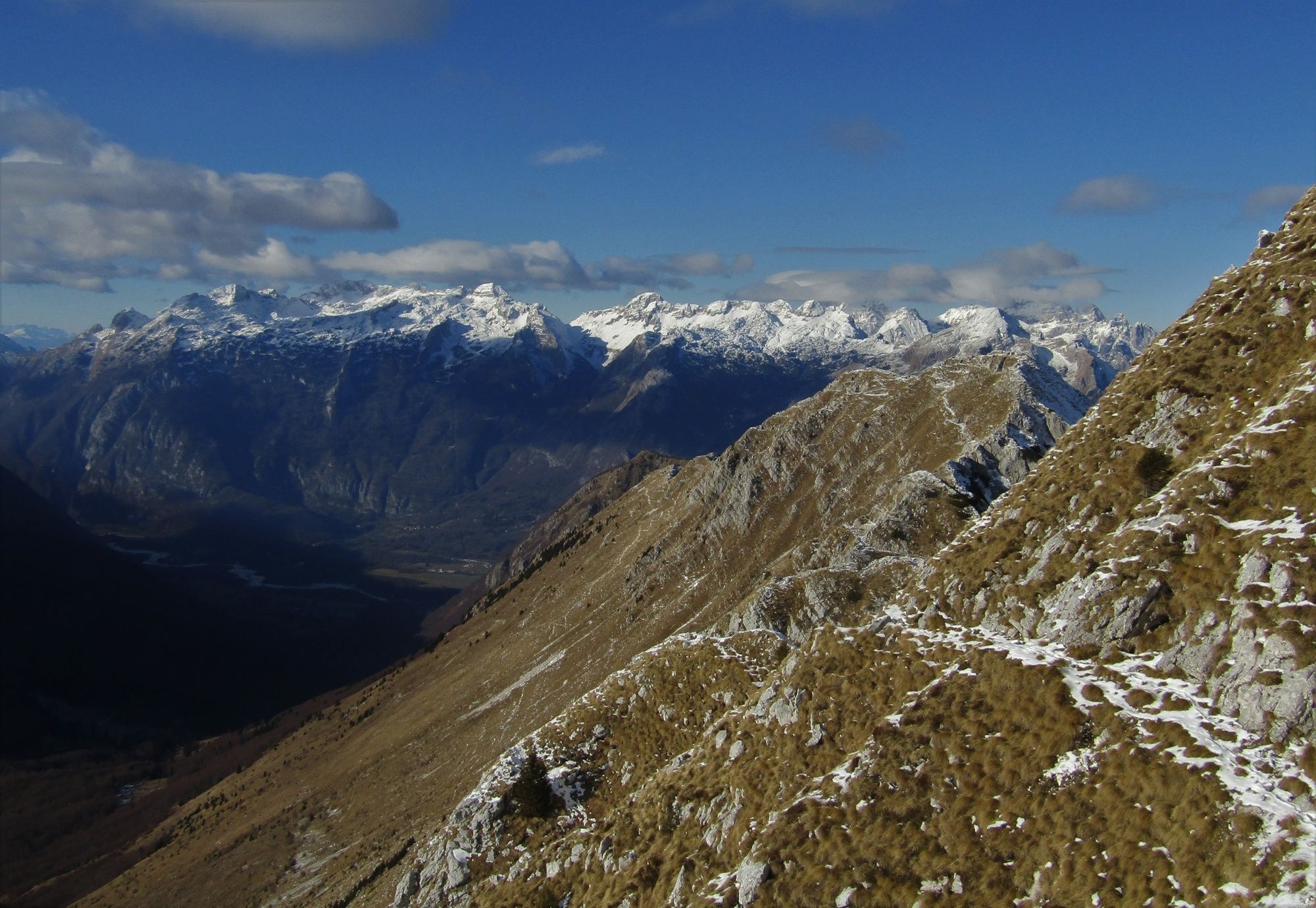
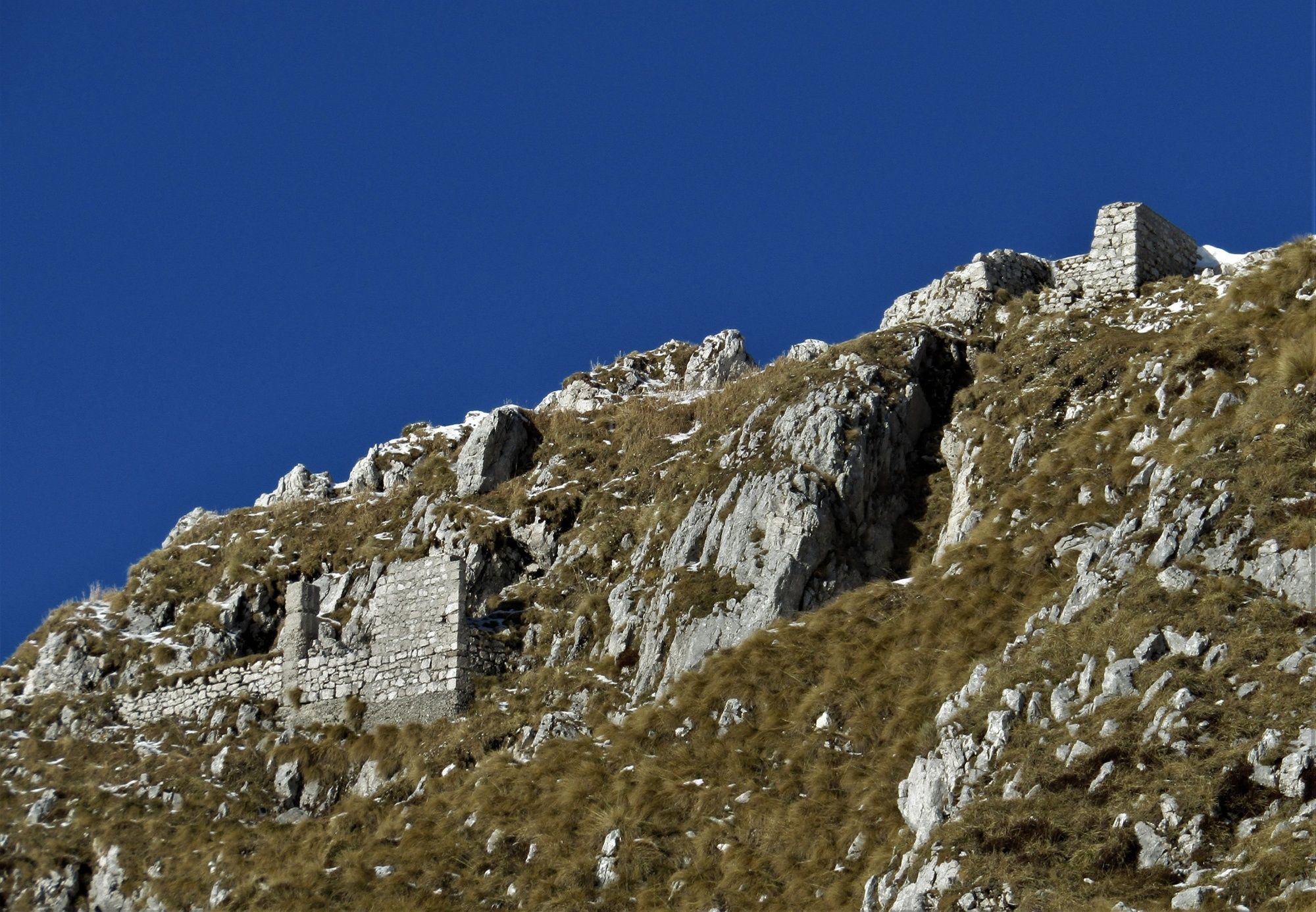
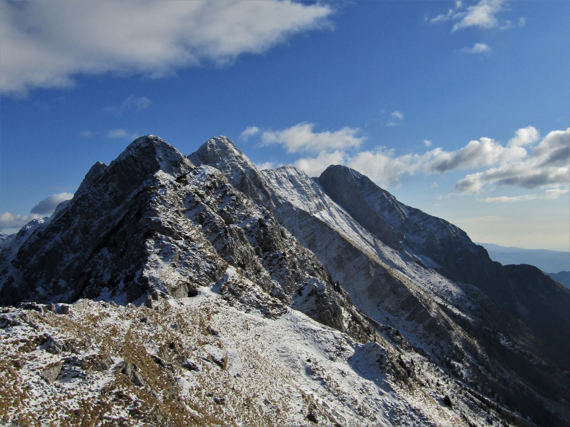
This tour is routed along the ridge where you come across the numerous remnants of World War I. This ridge was also the place where senseless killings took place during this war.
- Difficulty
-
medium
- Rating
-
- Starting point
-
Pri koritu parking lot above the village of Drežniške Ravne
- Route
-
Vrata (1,938 m)4.4 kmGreben (1,942 m)4.6 kmOblo Brdo (1,964 m)4.6 kmVrh Ruš (1,864 m)5.0 kmMonte Ursig (1,897 m)5.4 km
- Best season
-
JanFebMarAprMayJunJulAugSepOctNovDec
- Description
-
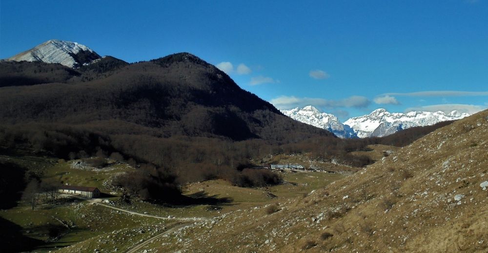
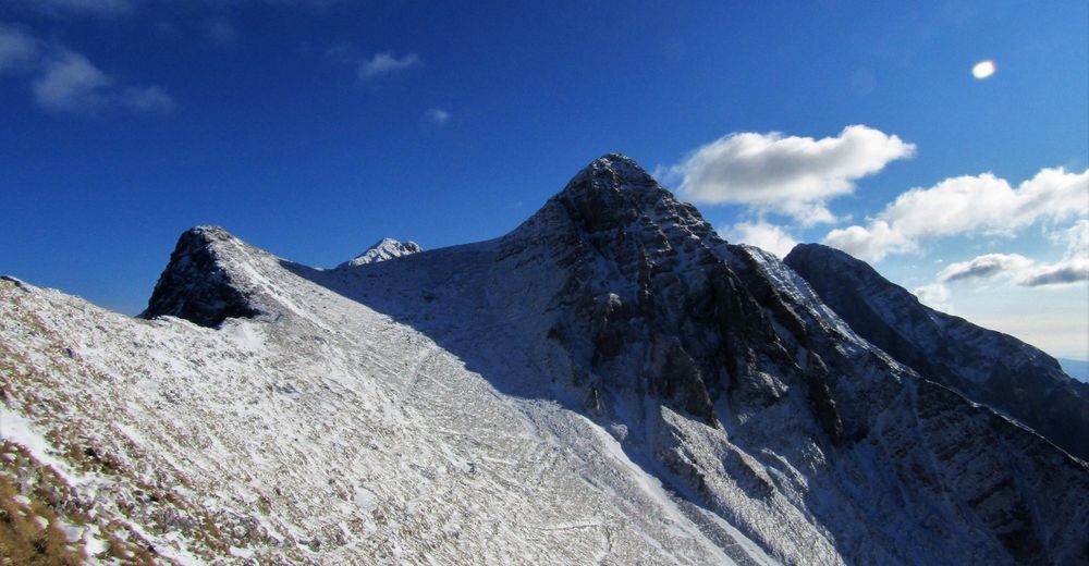
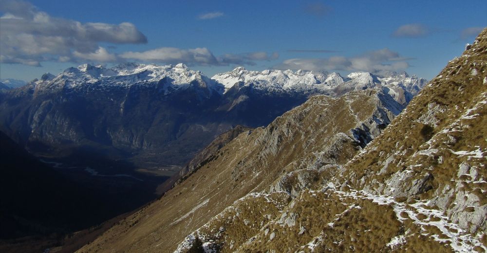
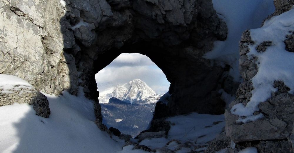
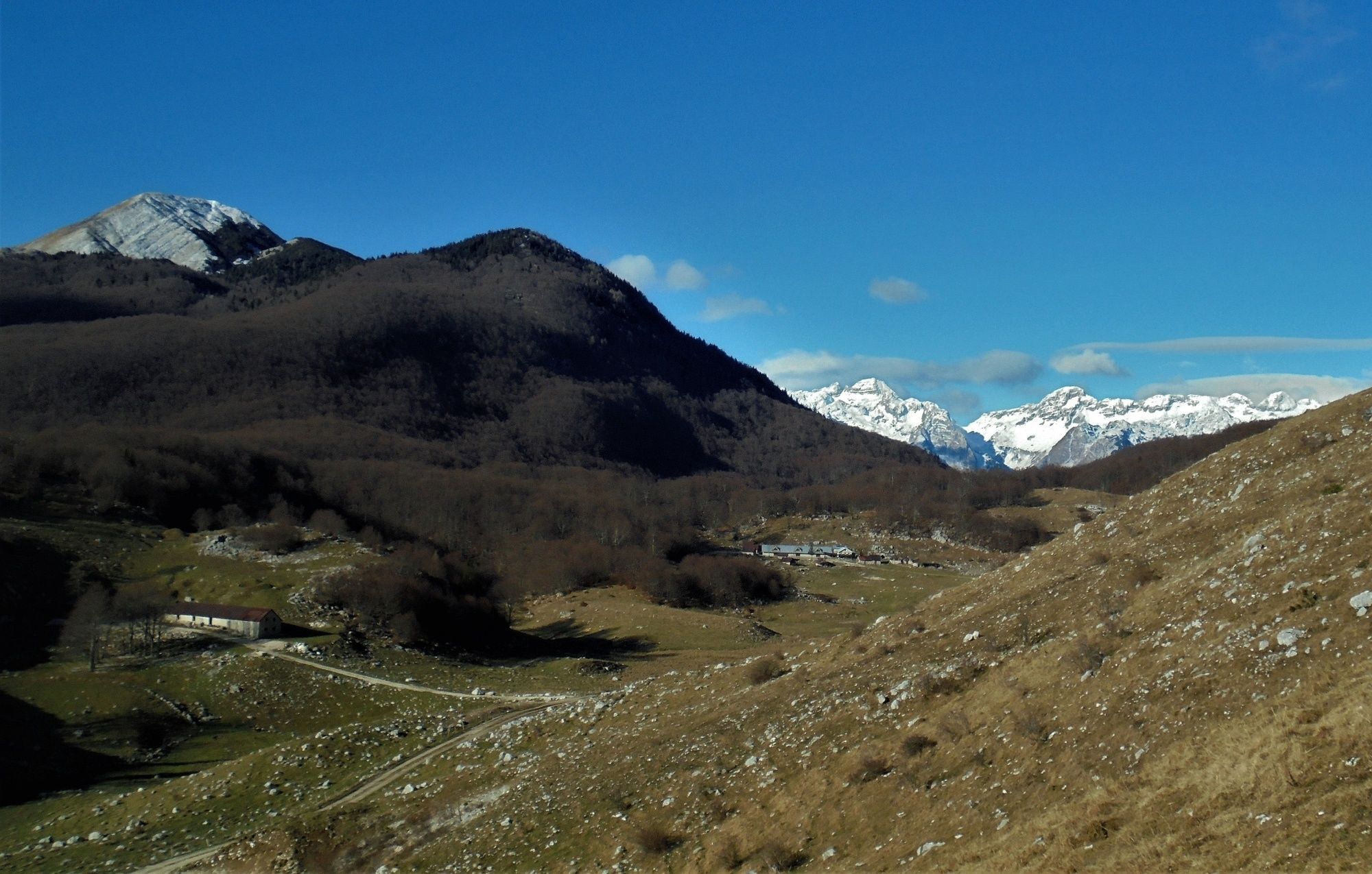
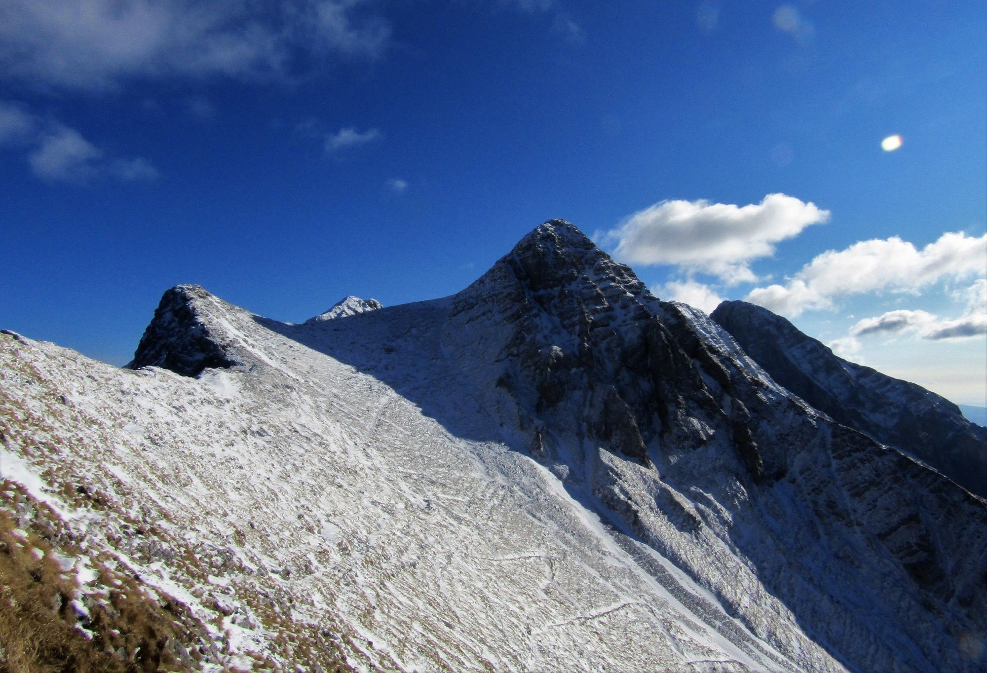
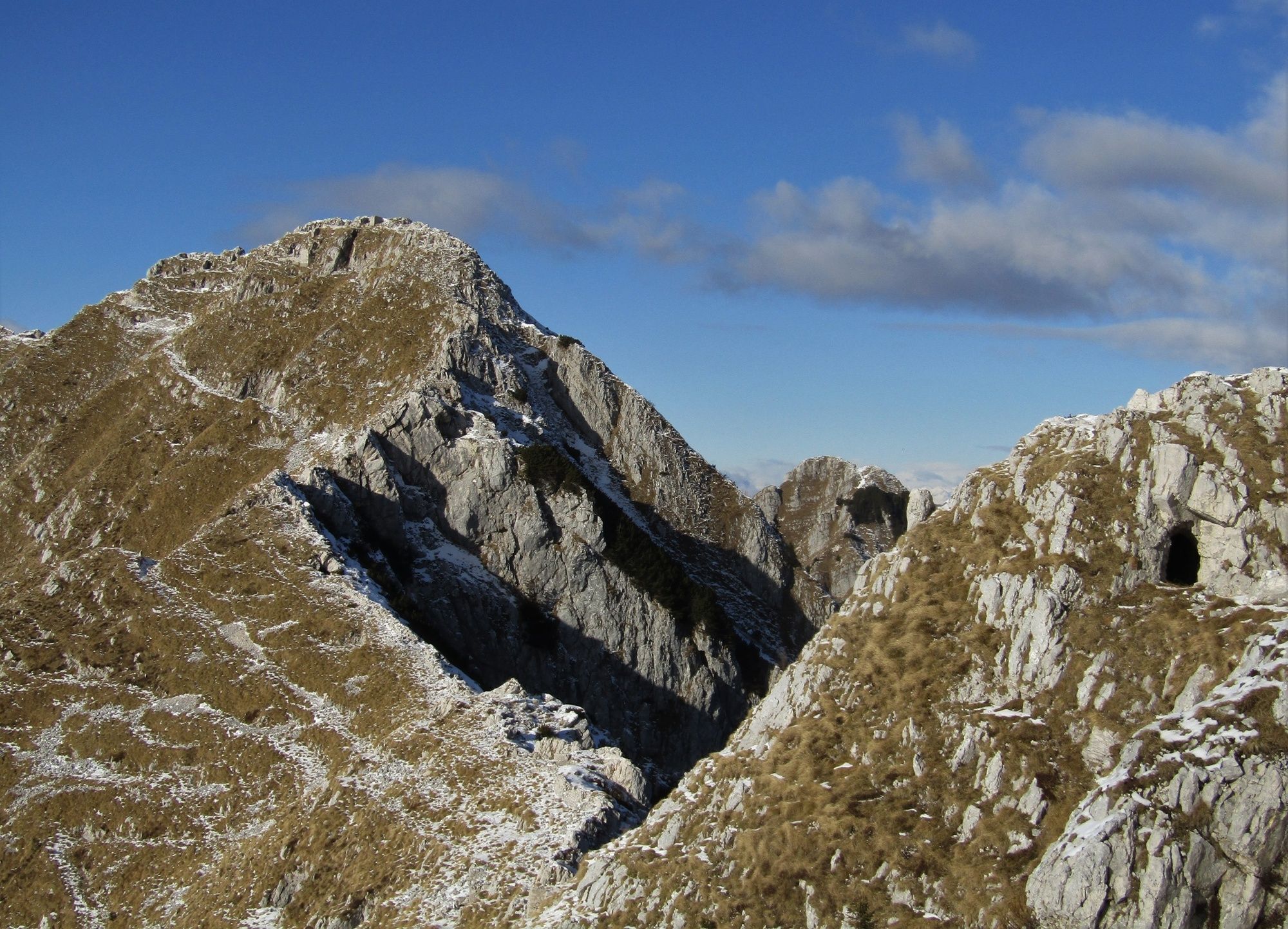
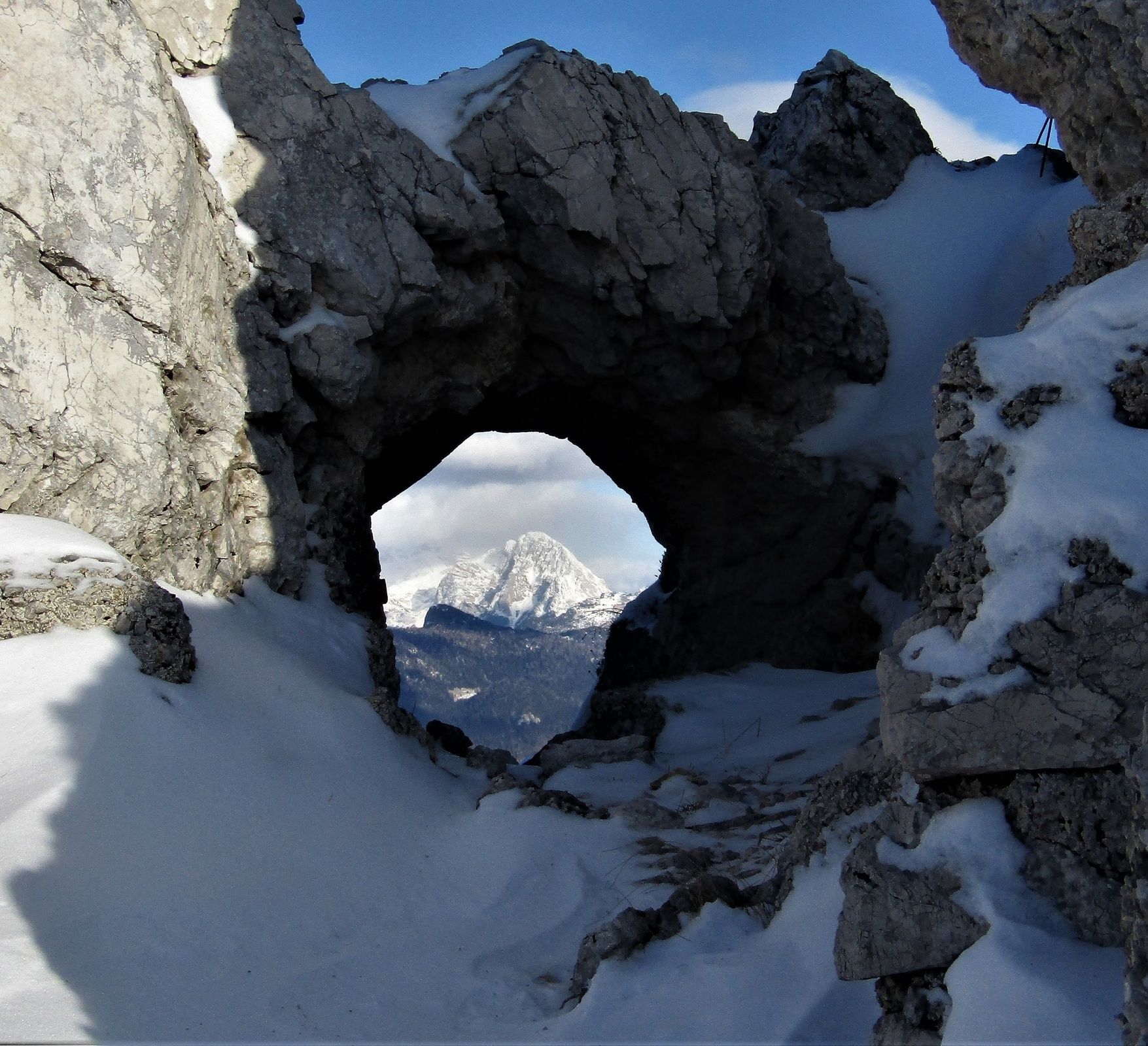
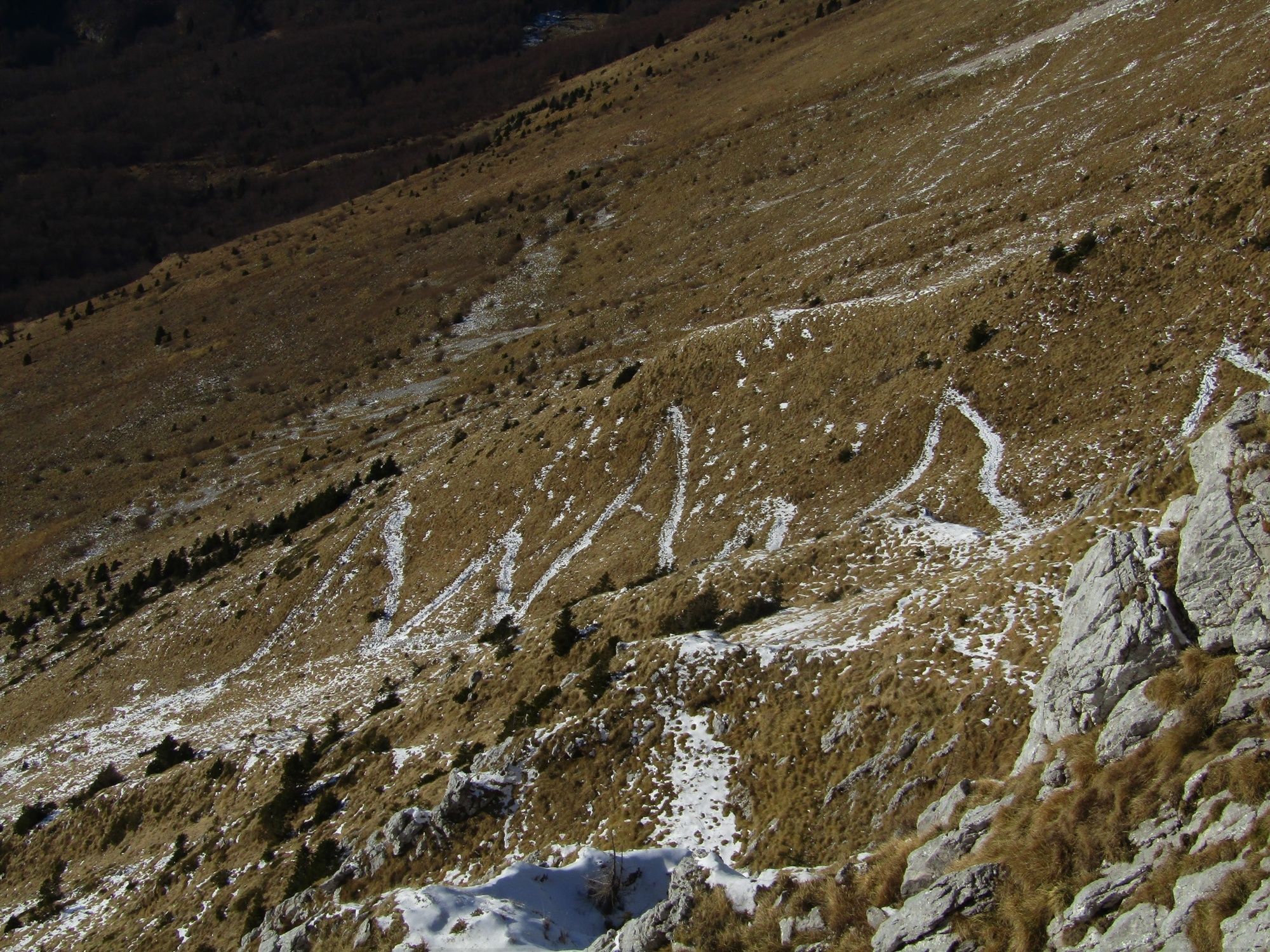
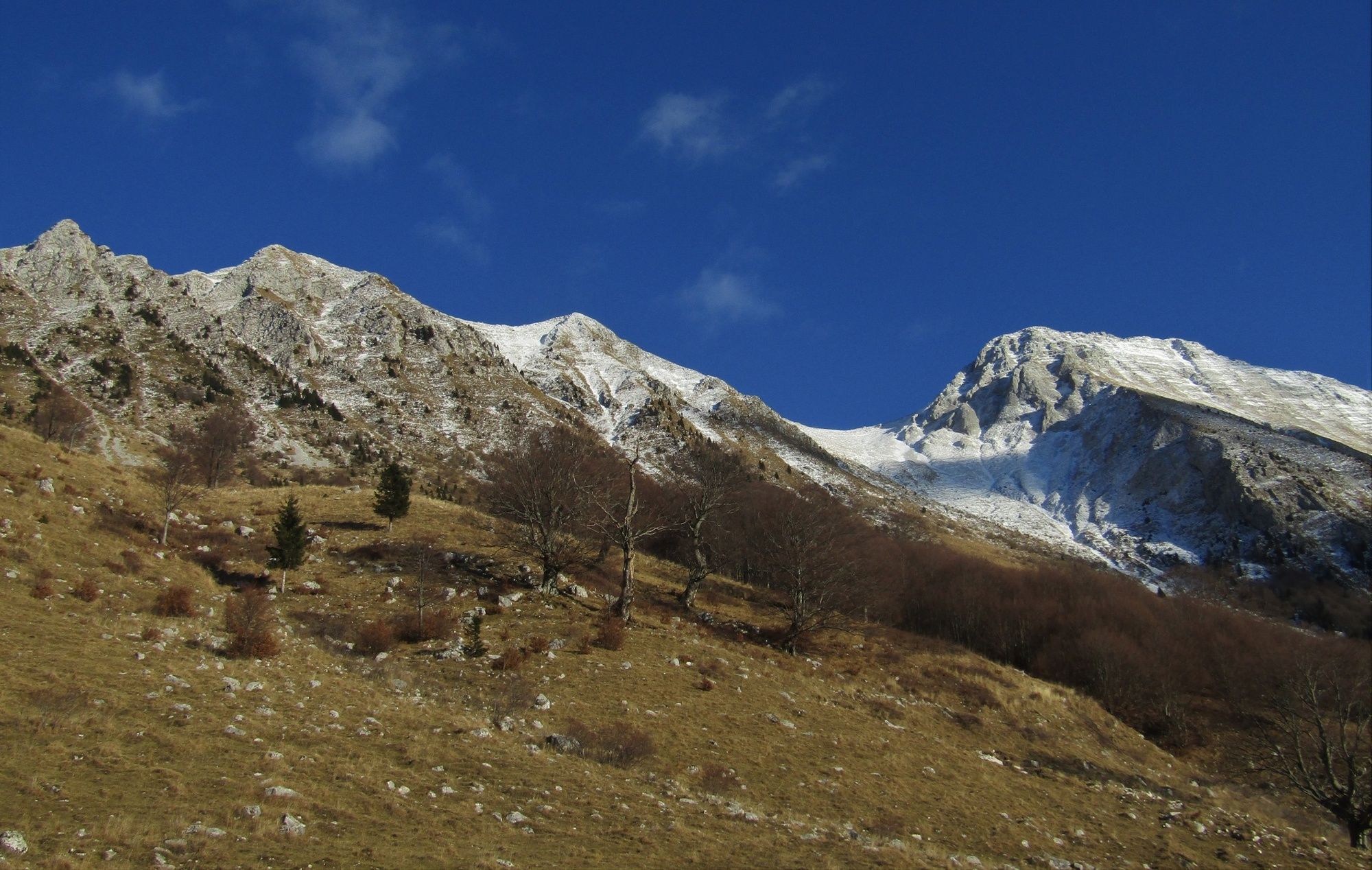
At the Pri koritu parking lot in the village of Drežniške Ravne turn to the right towards the Vrata Mountain pass. The trail is initially routed through the forest, continues along the pasture, and leads to the parking lot in front of the Zapleč Mountain pasture. Cross the fence and ascend along the marked and comfortable mule trail to the Vrata Mountain pass. At the rocky section just beneath the mountain pass you arrive to the junction where the mule trail to the right leads towards Mt. Krn. Turn to the left and continue along a less distinctive but visible footpath towards the northwest. The trail is routed along a rocky and also grassy slope and passes numerous remnants of World War I. Hikers experienced in hiking along ridges can leave the mule trail at certain sections and make a part of the trail along the ridge which offers splendid views to all four directions. The mule trail occasionally also ascends to the ridge, which means that every hiker is provided with a chance to enjoy in these views.
Certain sections of the mule trail are routed along a steep slope above the ravine and require caution. In the vicinity of Mt. Vršič you notice a mule trail which you follow to the Zaprikraj Mountain pasture from where you hike to the parking lot and return to the starting point along the same trail you come from.
- Directions
-
At the parking lot start following the signs for the Vrata Mountain pass. After you enter the first pasture you come across a sign pointing to the right towards the Curk Waterfall and a well-worn but unmarked trail leading straight ahead towards the visible starting point beneath the Krn Mountain range.
At the parking lot in front of the Zapleč Mountain pasture the signs direct you towards the Vrata Mountain pass. The trail to the mountain pass is mostly routed along a grassy terrain. At the junction beneath the mountain pass an unmarked but visible trail turns towards Mt. Vršič. This trail occasionaly disappears for a couple of metres in the rocky and grassy terrain. The following section of the trail is easy to hike along because of simple directions.
The descent from Mt. Vršič to the Zaprikraj Mountain pasture is routed along the initially well visible mule trail. When you arrive to the section which is usually covered with tall grass, the trail sometimes disappears. If you are not able to find it again, descend to the mountain pasture any way you like.
- Highest point
- 1,926 m
- Endpoint
-
Mt. Vršič
- Height profile
-
 © outdooractive.com
 - Equipment
-
Because of the varied terrain we recommend you to use quality footwear with well-profiled soles. Hikers who like to use trekking poles will find such equipment very useful (descent from Mt. Vršič back to the valley).
- Safety instructions
-
The described trail is safe. Special caution is only required at short sections routed above the ravines. More exposed sections of the trail can become slippery after rainfall (due to grassy terrain).
The tour is partially routed along an easy hiking trail. Use of the hiking trails is at your own risk!
- Tips
-
Hikers experienced in hiking along ridges can make a part of the trail from the Vrata Mountain pass to Mt. Vršič along the ridge with numerous remnants of World War I.
- Additional information
-
After you return to the Zaprikraj Mountain pasture you can also visit the outdoor museum located approximately 2 kilometres away. The trail is marked and the outdoor museum is well worth visiting.
- Directions
-
Follow the regional road Kobarid – Drežnica and continue to the village of Drežniške Ravne. At the intersection, follow the signs for the Zapleč Mountain pasture.
- Public transportation
- Parking
-
You can park on the meadow at the unarranged Pri koritu parking lot.


-

-
AuthorThe tour Historical ridge trail from the Vrata Mountain Pass to Mt. Vršič (1897 m) is used by outdooractive.com provided.