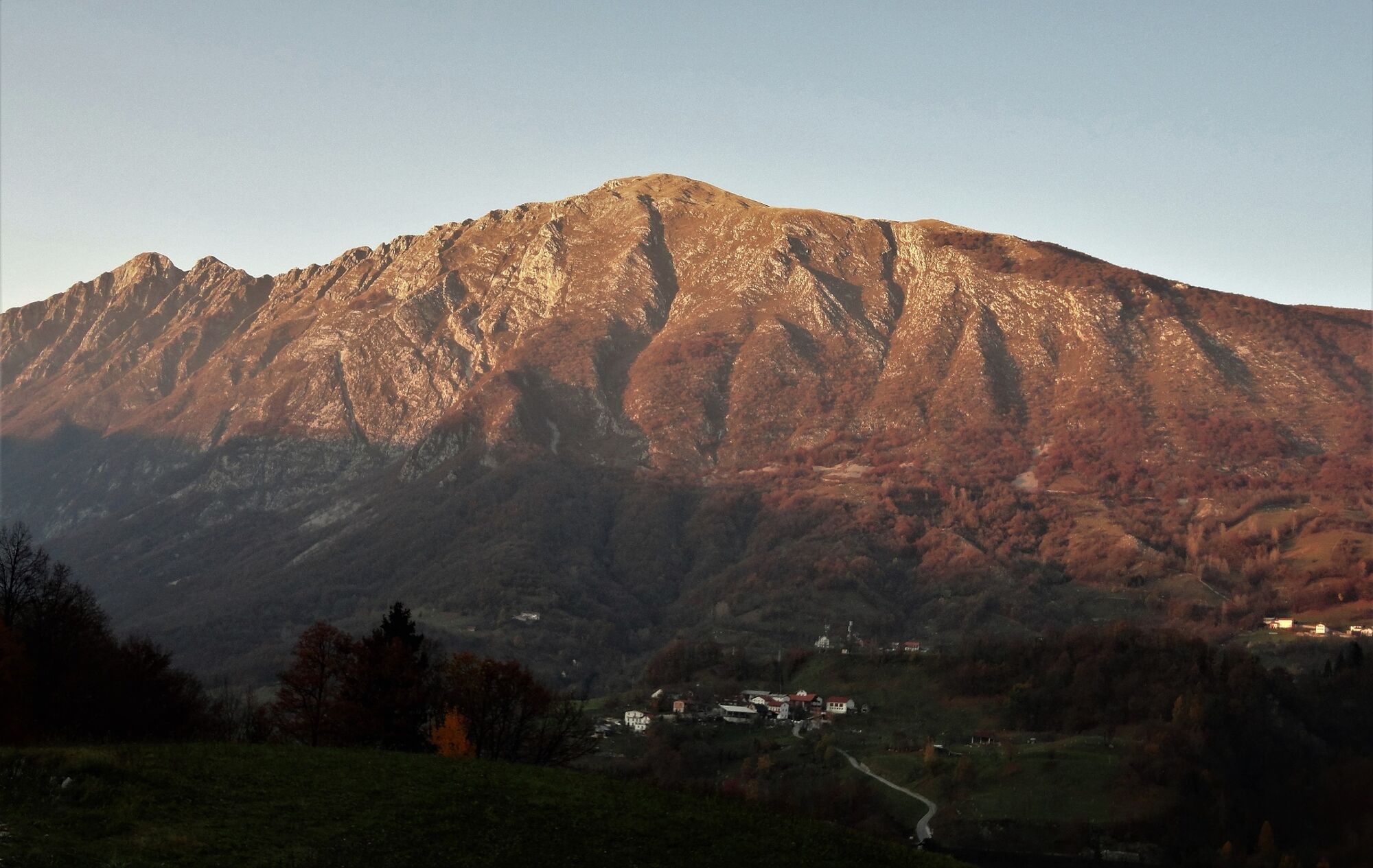
Mt. Krasji vrh (1,773 m), a mighty sightseeing hill above the Soča Valley


- Brief description
-
Looking from the valley, this hill appears like a mighty rocky pyramid with splendid views. Along the trail you come across various remnants of World War I. You can shorten the ascent by driving to the Zapleč Mountain pasture.
- Difficulty
-
medium
- Rating
-
- Starting point
-
Pri koritu parking lot above the village of Drežniške Ravne
- Route
-
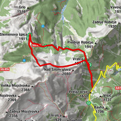
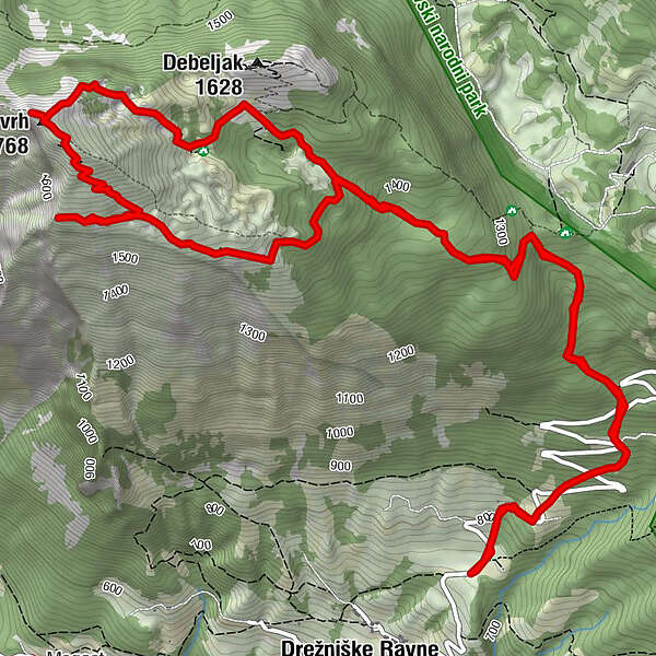
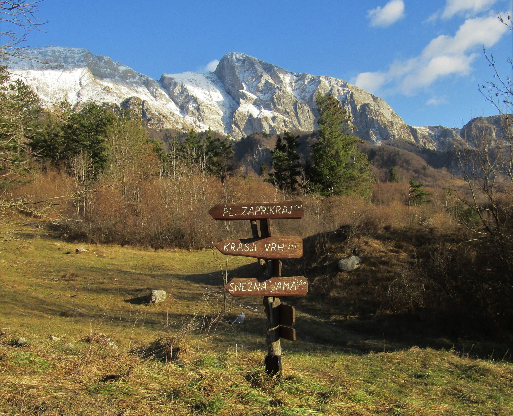
Snežna Jama4.1 kmKrasji vrh (1,768 m)5.1 kmKoluji6.5 km
- Best season
-
JanFebMarAprMayJunJulAugSepOctNovDec
- Description
-
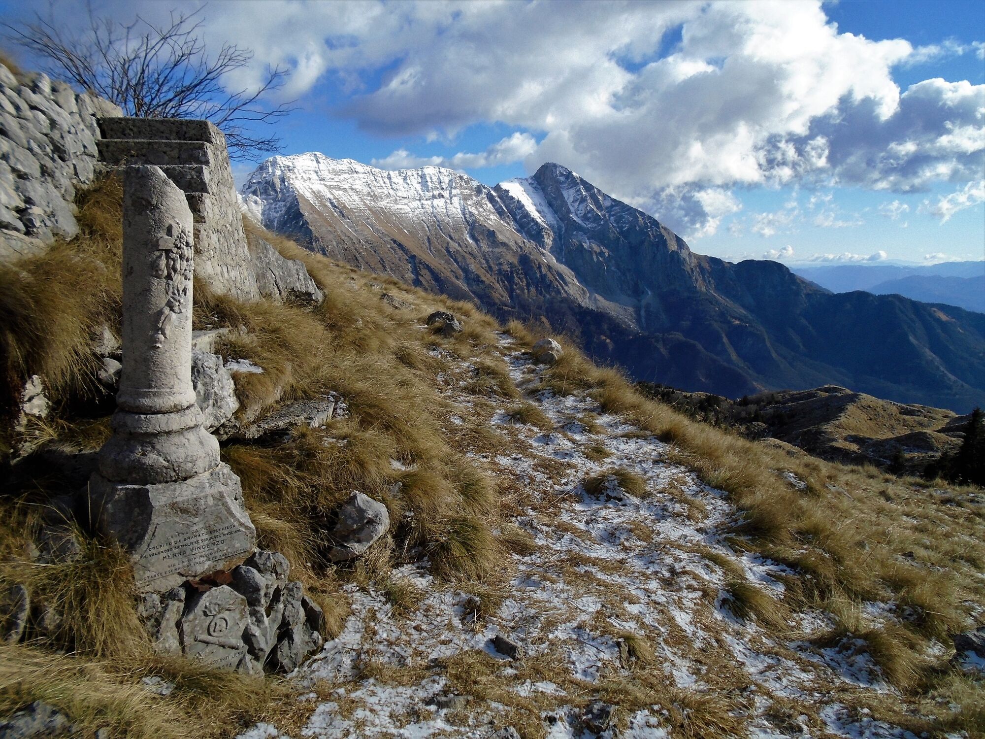
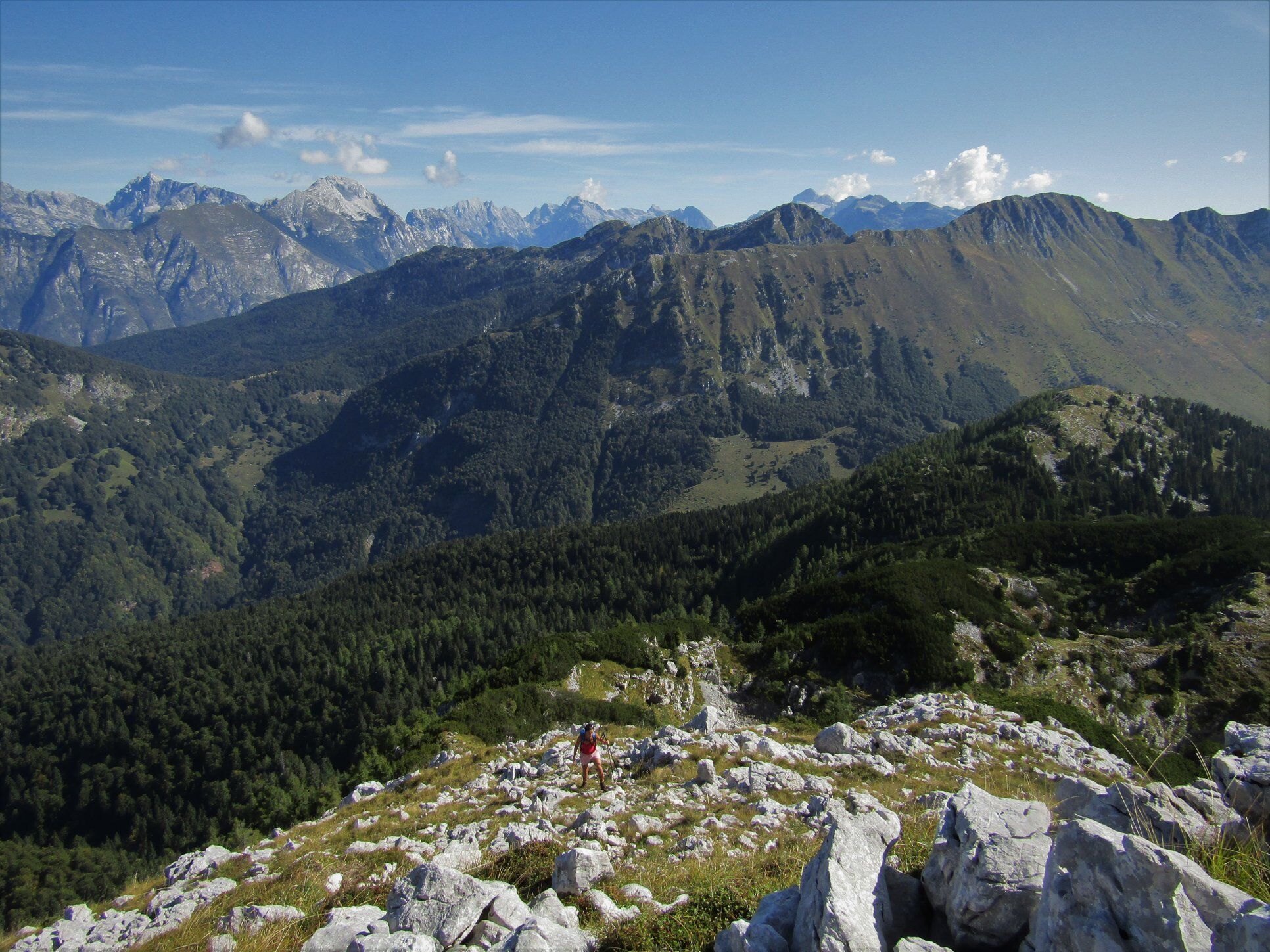
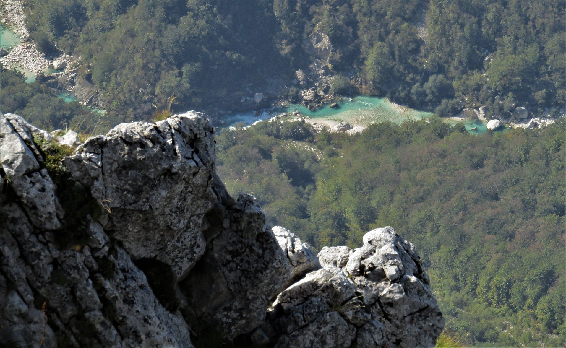
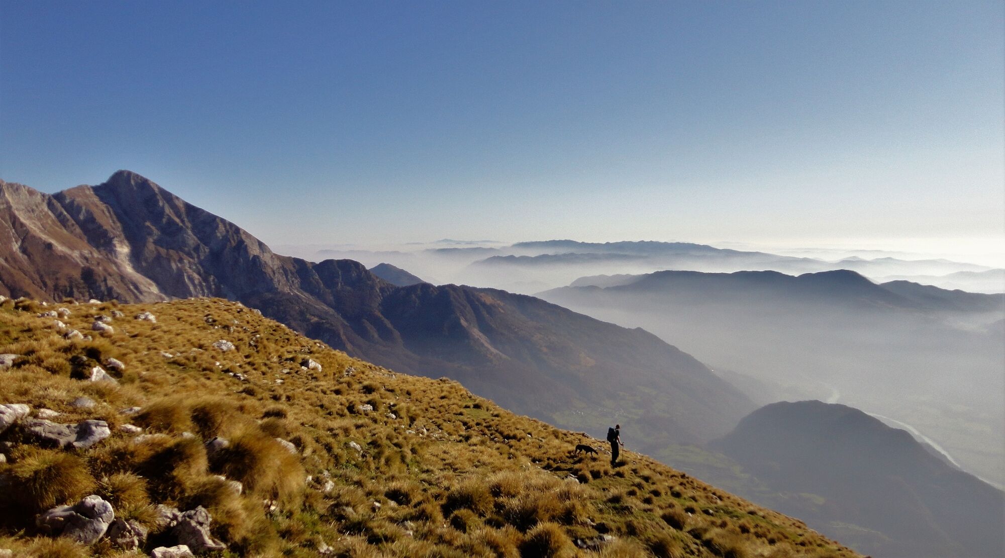
There is a marked trail leading from the Pri koritu parking lot above the village of Drežniške Ravne to Mt. Krasji vrh. At the beginning, it crosses the hair pinned road a couple of times and continues through a beautiful beech forest to the junction where it turns right to the northern side of the mountain and past the remnants of World War I. You overcome the last metres of the ascent over a pretty steep but technically non-demanding rocky terrain. At the top, magnificent views open to all four directions. Mt. Krasji vrh truly belongs amongst the most wonderful sightseeing hills in the Soča Valley.
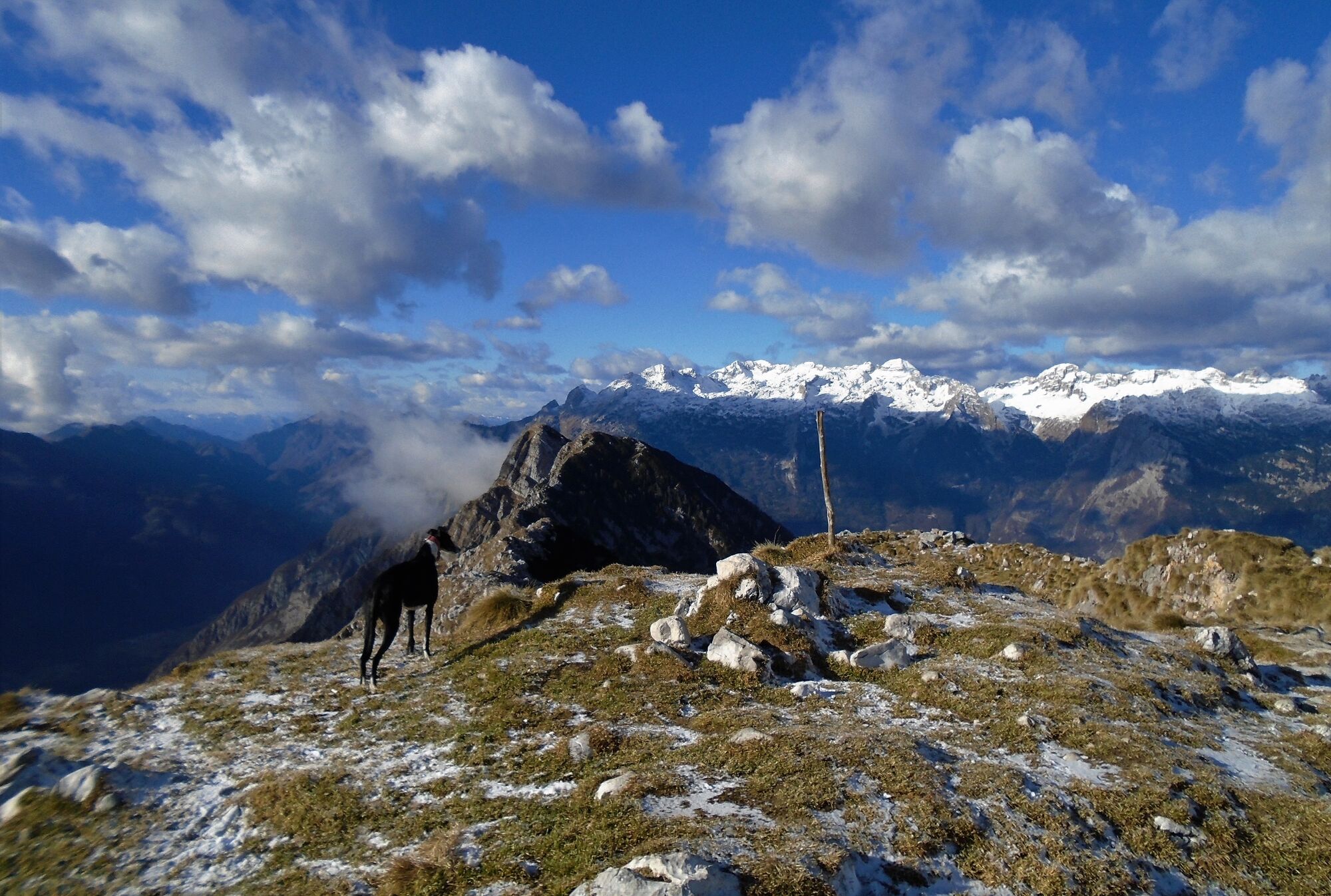
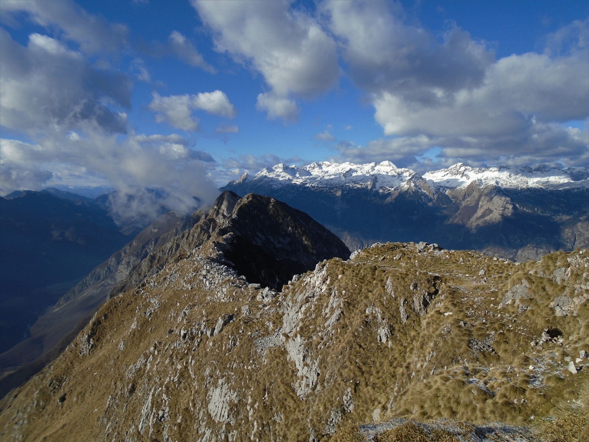
You continue towards the west and descend along the grassy ridge. The sign board directs you to the remnants of the former artillery positions from World War I which are well-worth visiting. After crossing the mountain slope for approximately 20 minutes you join the official trail towards the starting point. Initially, you cross the grassy slope and then descend through the beech forest to the junction where you turned right during the starting ascend. From here, you descend back along the trail you came from to the starting point Pri koritu.
- Directions
-
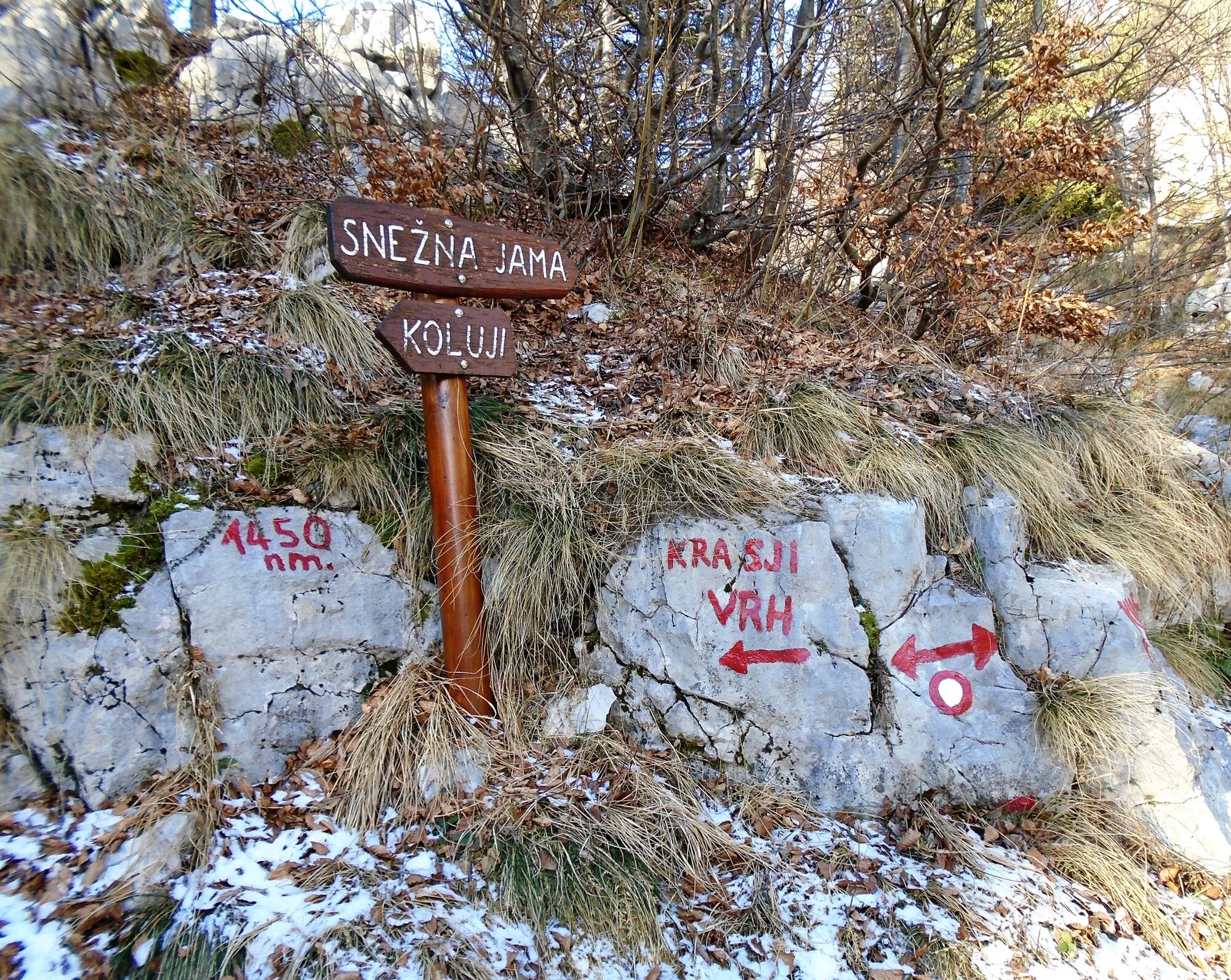
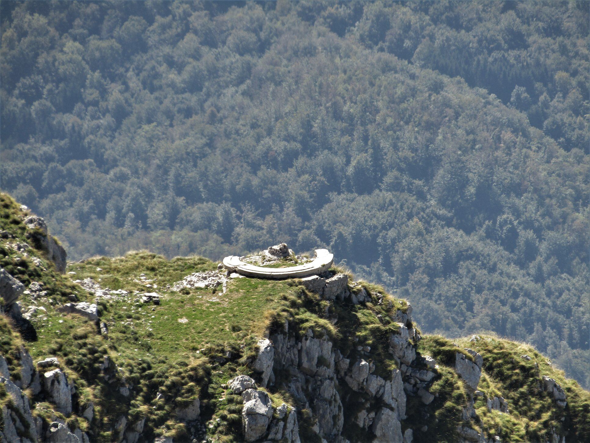
From the parking lot, follow the signs for Mt. Krasji vrh. Above the hay barn, turn to the right from the cart trail and continue along the trail marked with the Walk of Peace sign. This trail crosses the road to the Zapleč Mountain pasture several times. At the left side of the longer right bend you will notice signs directing you into the beech forest which becomes thinner after an approximately an hour of walking when you arrive to the junction with sign pointing to the right towards the Snežna jama Cave and the sign pointing to the left towards the former artillery stations. Take the trail to the right. Along the winding old military mule trail you arrive to a short level section of the trail where splendid views open towards Mt. Krn and the Soča Valley. The remnants of World War I on the right act as a reminder of the senseless killings that happened 100 years ago.
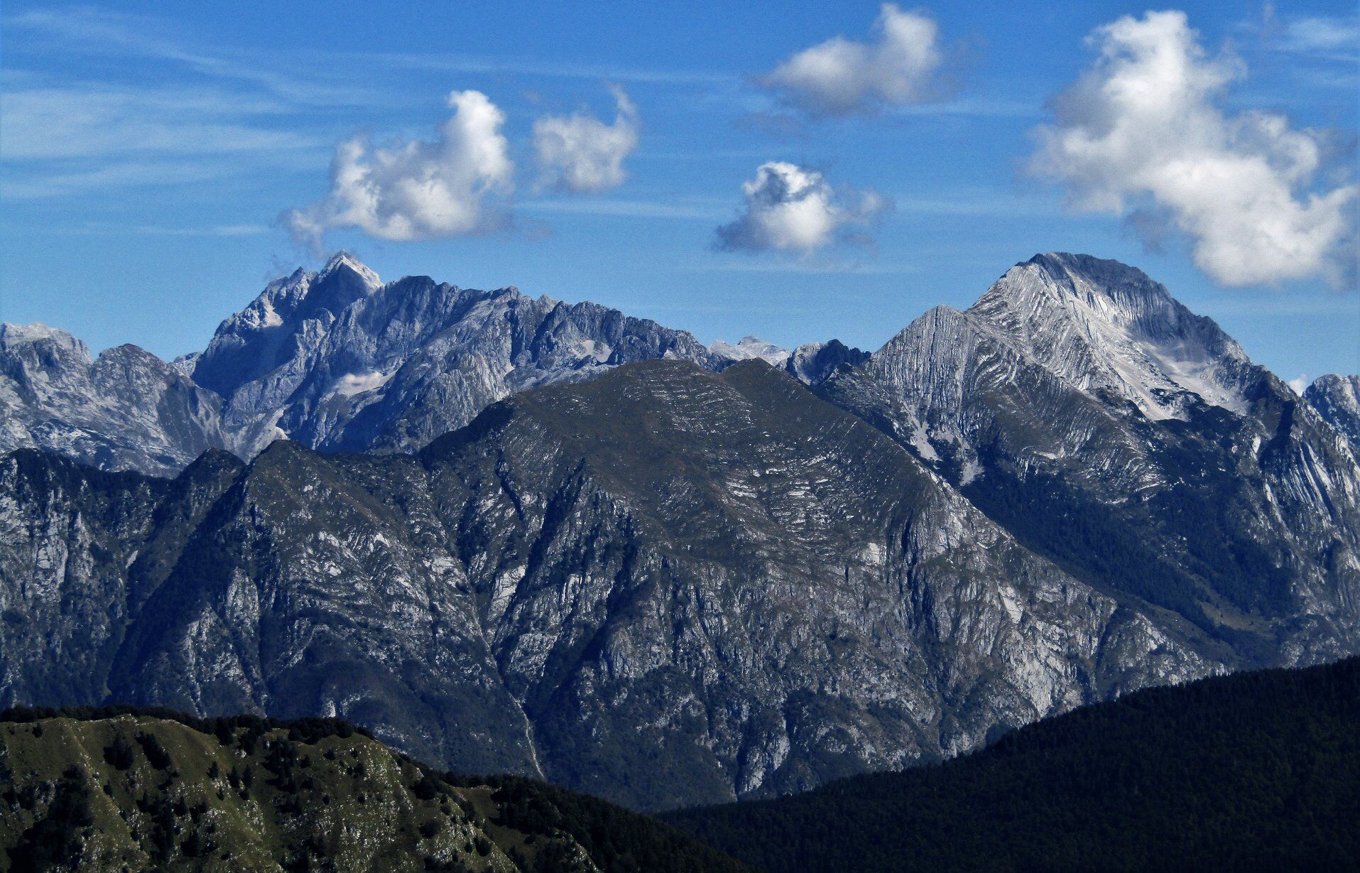
Continue along a somewhat less friendly rocky terrain which ascends at the end and takes you to the top of the mountain. All of your efforts are repaid with wonderful views of the valley, the Adriatic Sea, Julian Alps, Carnic Alps and the Dolomites Mountain range which open in case of nice weather.
You return along a grassy ridge towards the west. Along the trail you also descend to the former artillery stations where you cross the slope to the junction where you turned towards the Snežna jama Cave during your ascend. Finally, you descend along the same trail you came through the forest all the way to the starting point.
- Highest point
- 1,762 m
- Endpoint
-
Mt. Krasji vrh
- Height profile
-
 © outdooractive.com
 - Equipment
-
Because of the diverse terrain, you should wear footwear with profiled soles during the summer months and complete winter equipment during the winter months.
- Safety instructions
-
The southern side of the mountain is covered with grass and becomes slippery in wet weather. Caution is advised.
- Tips
-
You can shorten the tour by driving to the Zapleč Mountain pasture. Certain sections of the road are in somewhat bad condition.
I recommend you take the circular tour.
- Additional information
-
During the summer months, there is a shuttle bus running to the village of Drežniške Ravne.
It is possible to take a circular tour from the very start. At the sign, turn towards the Vrata Mountain Pass and Mt. Krn. The trail past the Zapleč and Zaprikraj Mountain pastures takes you to the hunting lodge from where you continue walking for a couple of minutes until you reach the junction with the trail coming from the Pri koritu parking lot.
- Directions
-
From the town of Kobarid, drive towards the village of Drežnica. In the village follow the signs pointing to the left towards the village of Drežniške Ravne where you follow the signs for the Zapleč Mountain pasture.
- Public transportation
- Parking
-
Parking is available at the Pri koritu parking lot above the village of Drežniške Ravne or at the parking lot in front of the mentioned mountain pasture if you decide to drive along the somewhat worse gravel road to the Zapleč Mountain pasture.
-

-
AuthorThe tour Mt. Krasji vrh (1,773 m), a mighty sightseeing hill above the Soča Valley is used by outdooractive.com provided.