


Tour data
1.94km
361
- 540m
347hm
347hm
00:50h

- Brief description
-
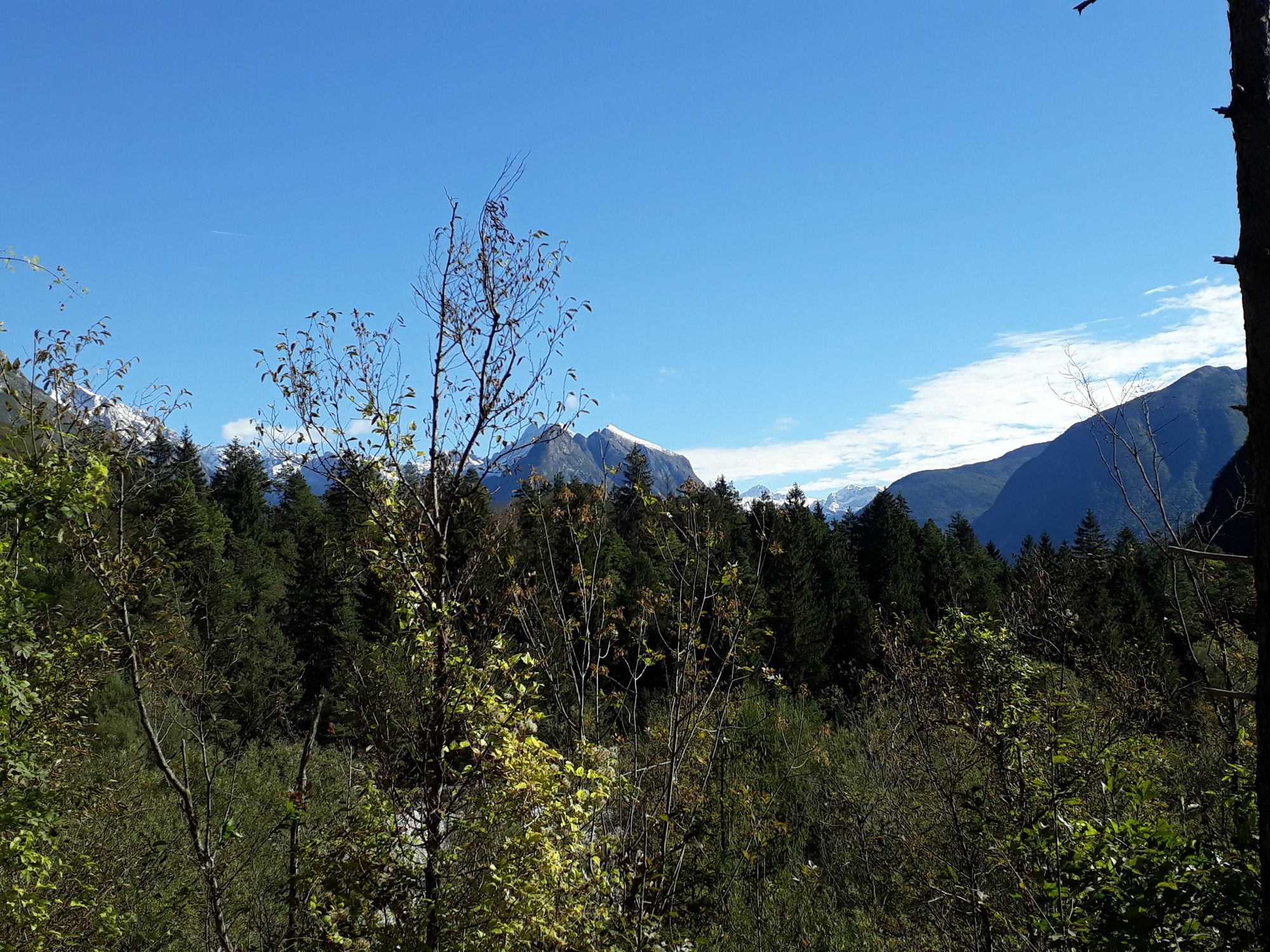
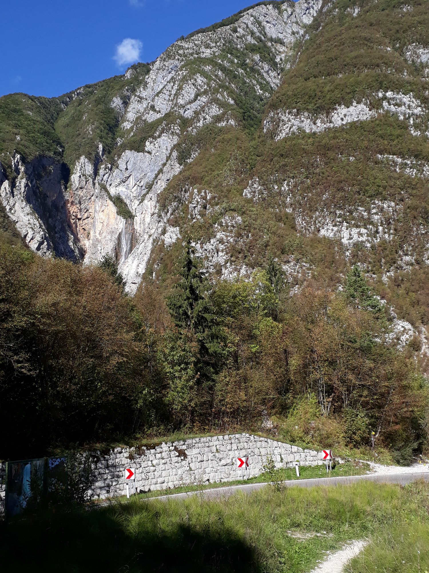
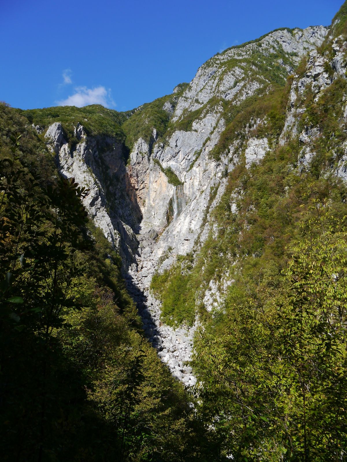
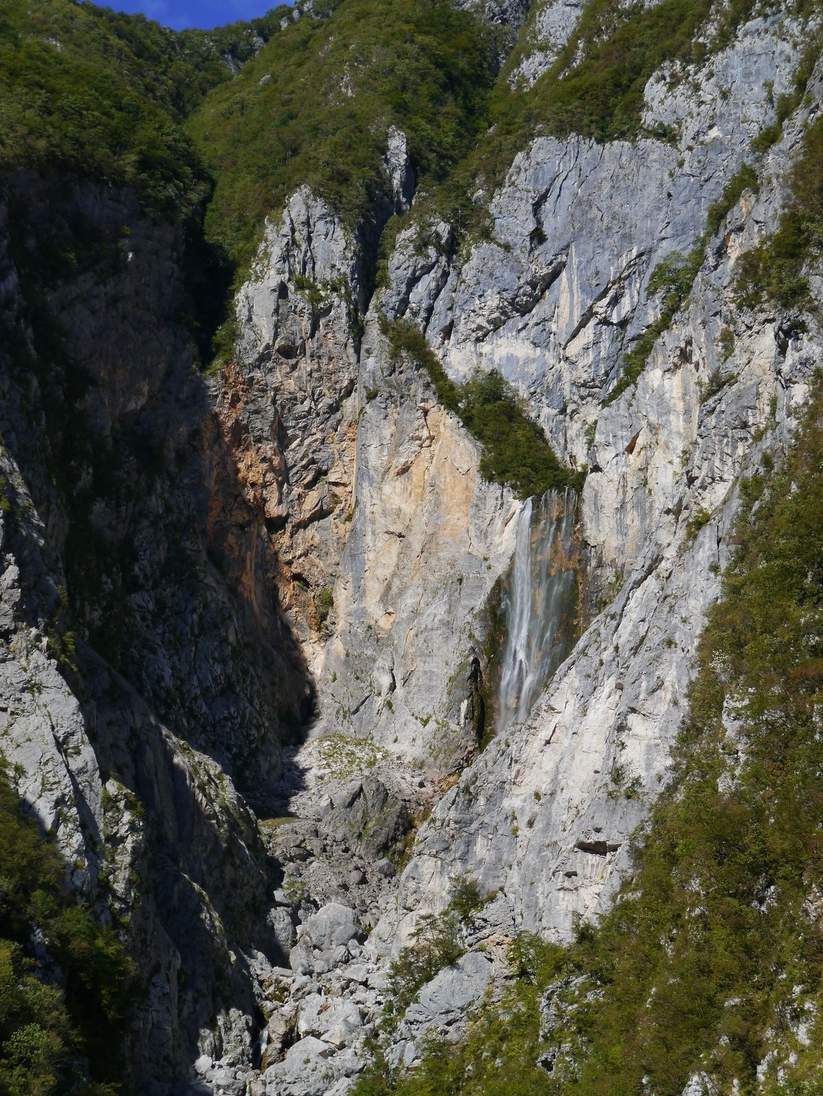
Steile Tour zum schönen Wasserfall der Boka. Dieser ist mit insgesamt 144 Meter in zwei Stufen der höchste Wasserfall Sloweniens.
- Difficulty
-
medium
- Rating
-
- Starting point
-
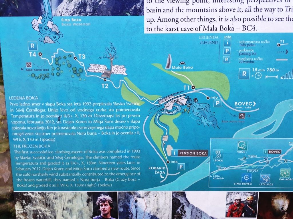
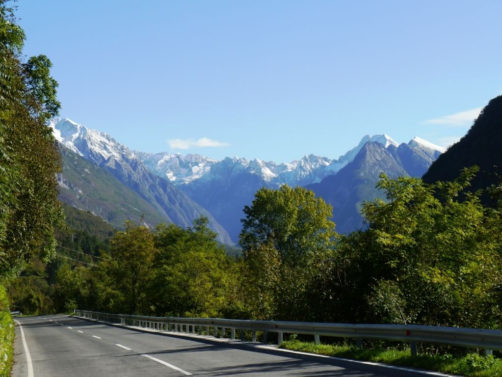
Wanderweg neben dem Hotel (Wanderkarte am Parkplatz)
- Route
-
Boka waterfall0.6 km
- Best season
-
JanFebMarAprMayJunJulAugSepOctNovDec
- Highest point
- Aussichtspunkt (540 m)
- Endpoint
-
Aussichtsplattform oder beliebig weit nach oben mit Aussichstmöglichkeiten näher am Wasserfall
- Rest/Retreat
-
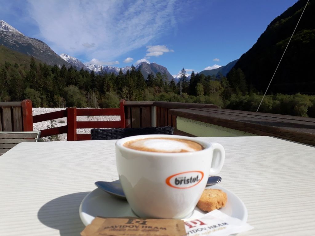
Cafe und Restaurant am Hotel
- Information


GPS Downloads


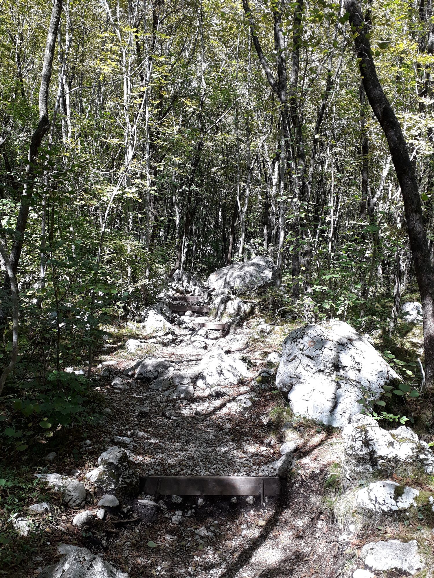
Trail conditions
Asphalt
Gravel
(30%)
Meadow
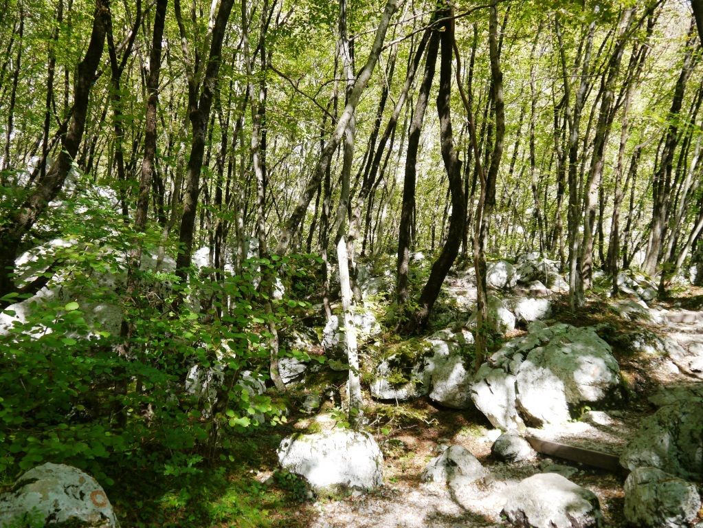
Forest
Rock
(60%)
Exposed
(10%)
Other tours in the regions
-
Friaul Julisch Venetien
142
-
Soča-Tal
392
-
Bovec
111


