


- Brief description
-
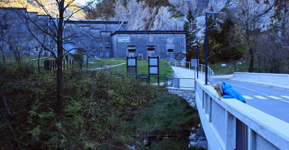
A great trail to view the amazing Bavšica valley in its entirety, passing by the historic Kluže fortress and the turquoise waters of the Koritnica river.
- Difficulty
-
easy
- Rating
-
- Starting point
-
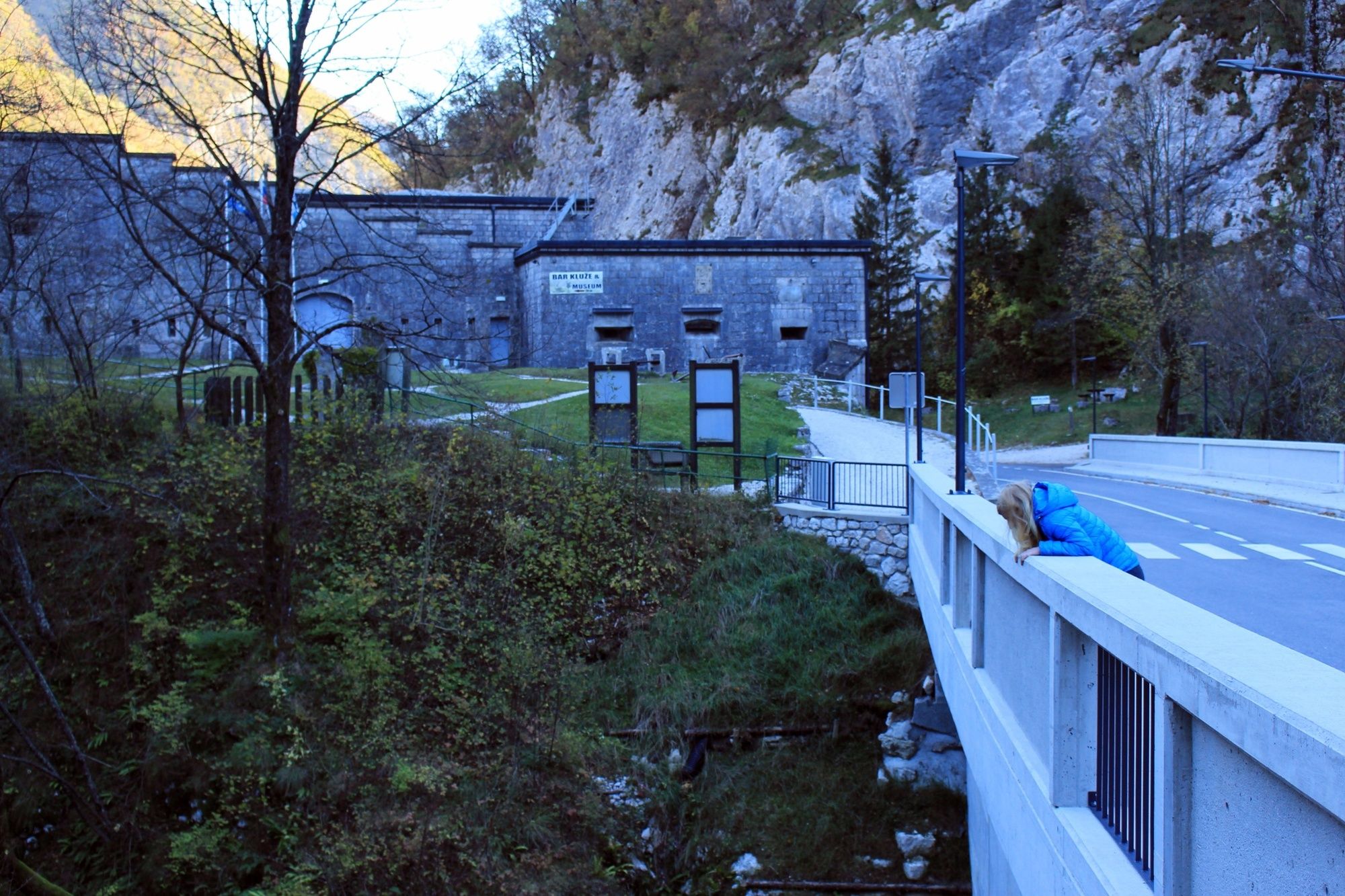
Kluže fortress
- Route
-
Bavšica0.2 kmZabrajda5.4 km
- Best season
-
JanFebMarAprMayJunJulAugSepOctNovDec
- Description
-
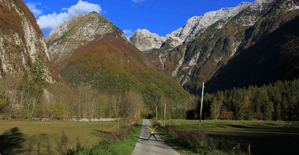
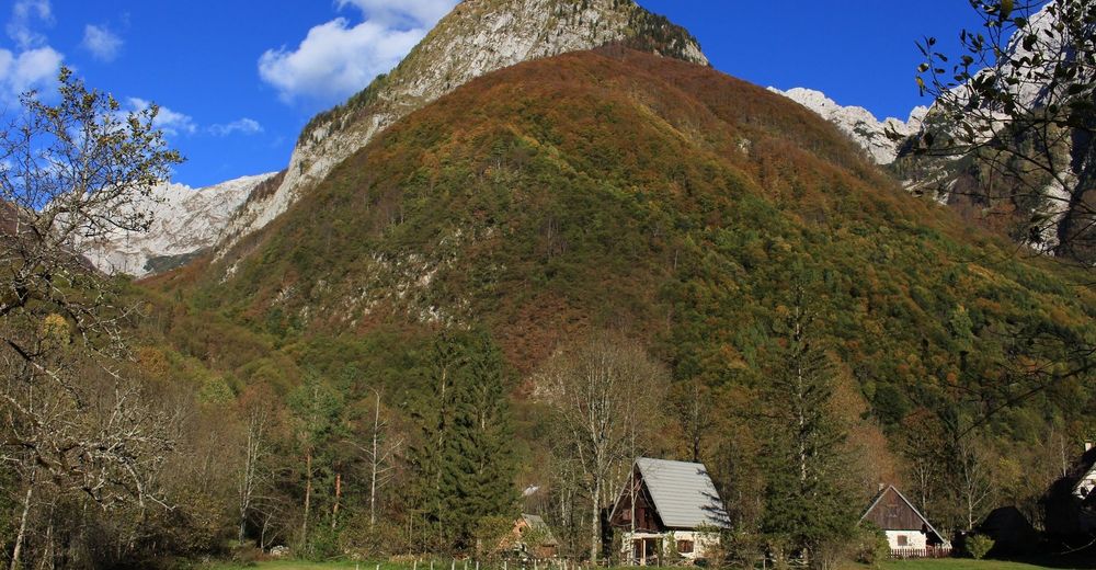
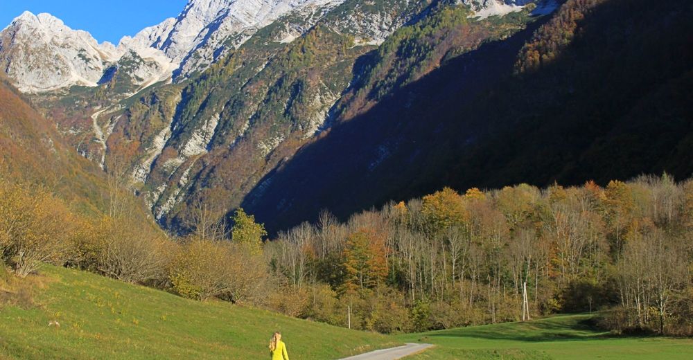
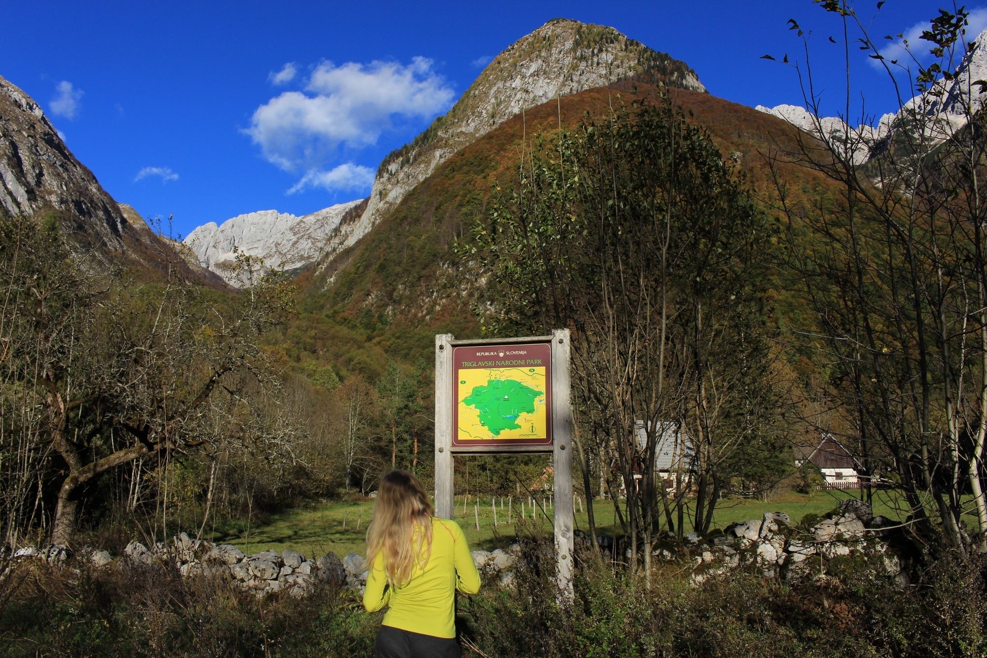
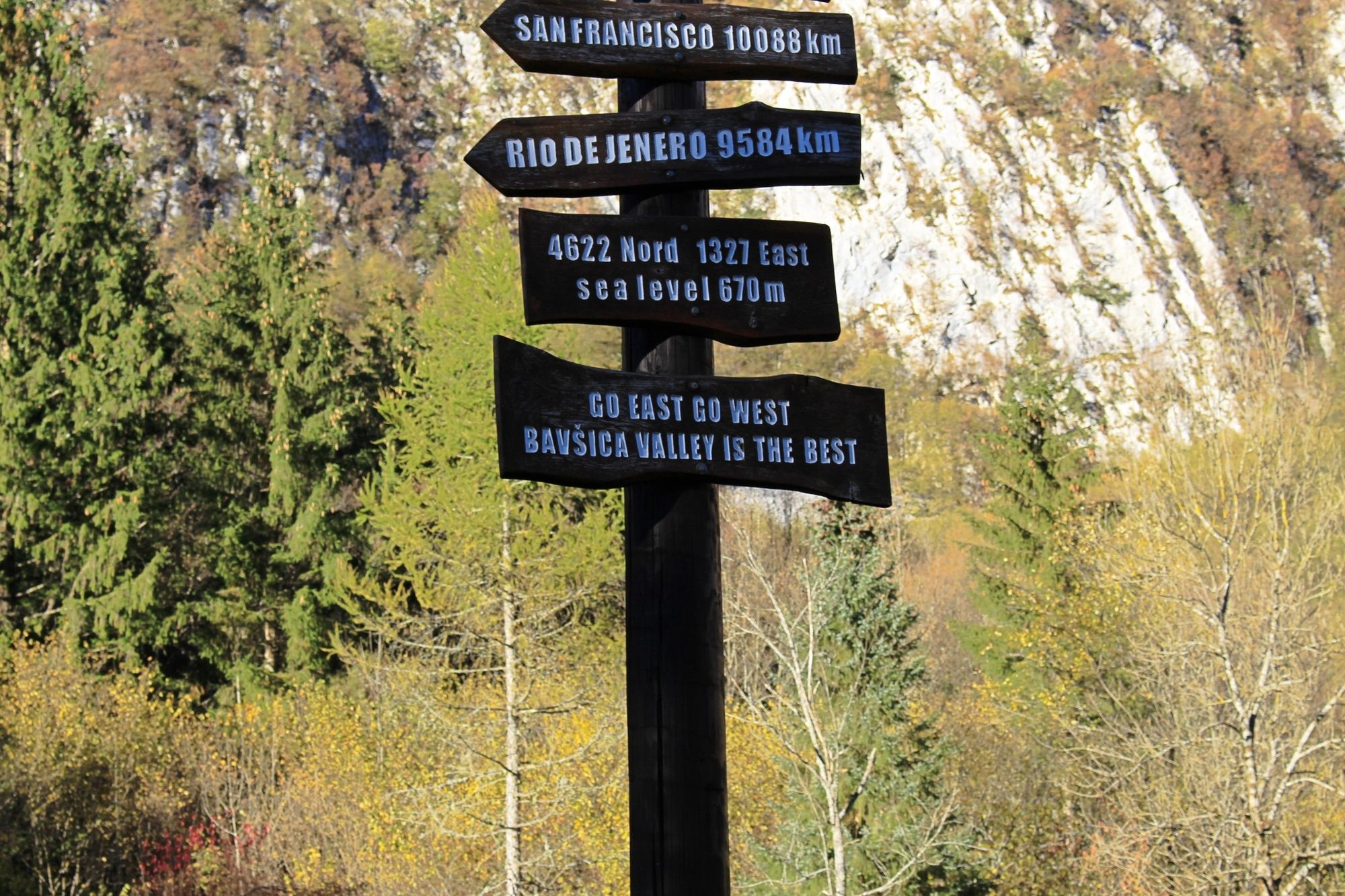
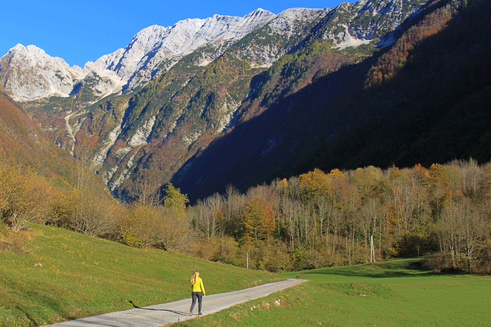
A wonderful loop through a hidden gem of Triglav national park: Bavšica valley. Bordered by Svinjak and its 10 km ridge line to Bavški Grintavec to the South and the peaks of Oblica and Vrh Krnice to the North. The Bavšica valley is completely enclosed by mountains on three sides, rising steeply from the narrow valley floor. The Bavšica valley trek is a good way to get off the beaten path while not sacrificing the awe inspiring views that the Julian Alps are known for. A relatively level trail, starting from the historic Kluže fortress the trail gradually ascends the on the road through Bavšica valley. After reaching the head of the valley, it doubles back and descends on a forested trail, to the turquoise stream below the fortress followed by a climb back up to the main road to complete the loop back to the start.
This is a 7 km round trip trail taking a total of 3 hours to complete. An easy trail, it is suitable for the entire family.
- Directions
-
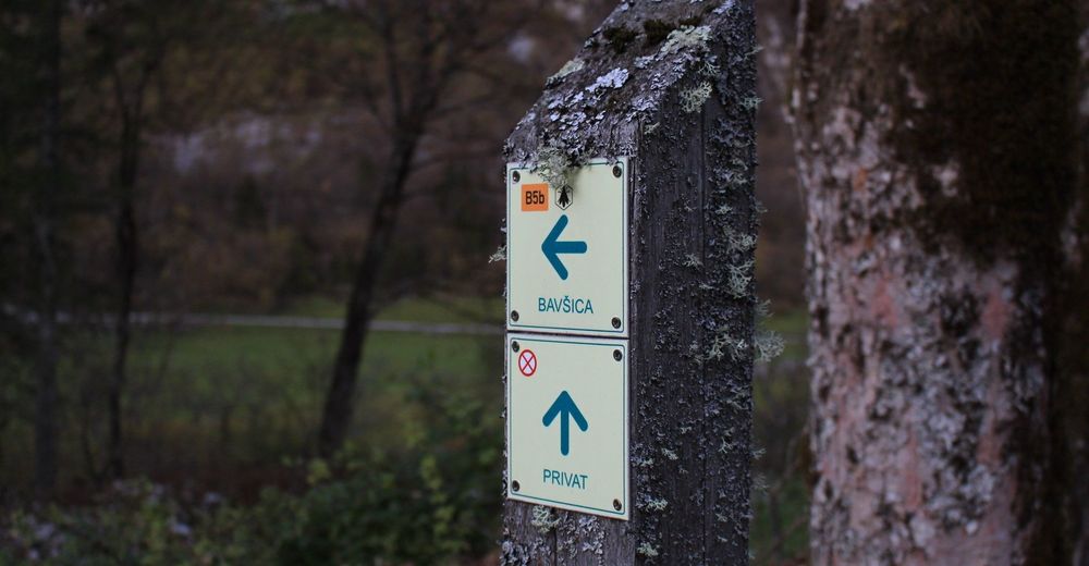
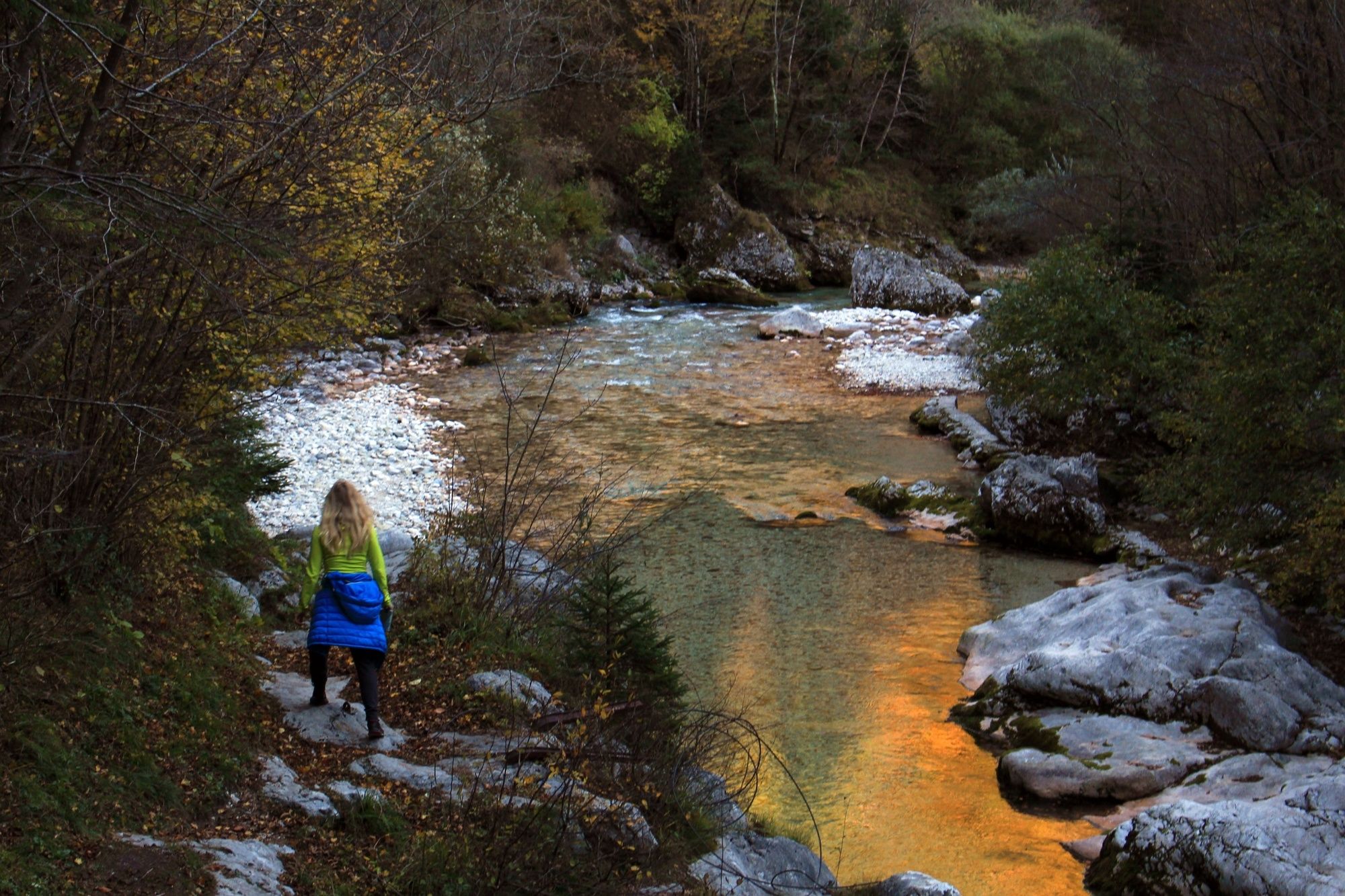
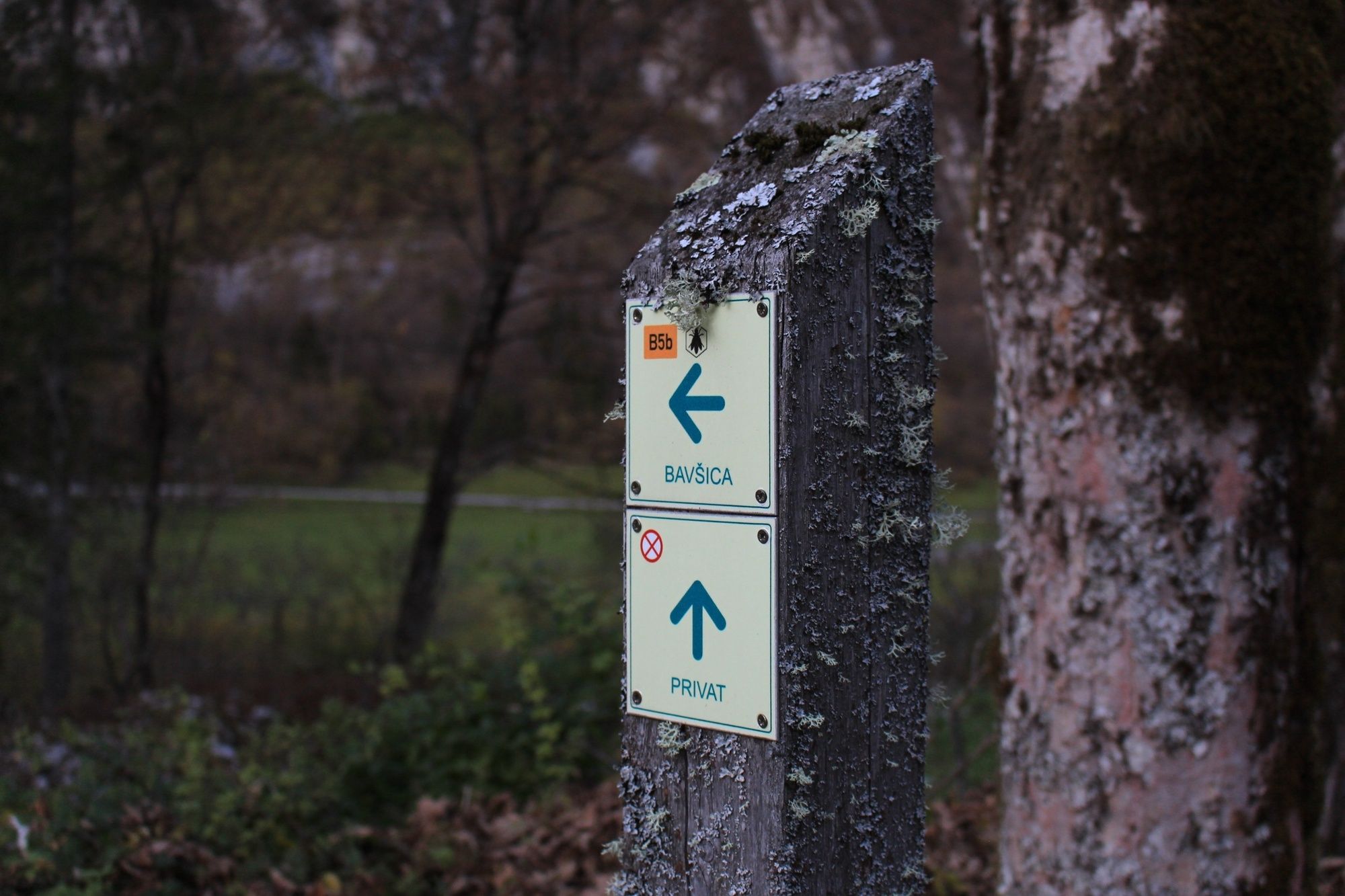
To start the Bavšica valley trek you can either start at fort Kluže or at the head of the Bavšica valley. This description describes the path starting from Kluže fortress. Across the road from the fortress there is a parking space where you can leave the car for the duration of the trek. On the opposite side of the gorge from the fortress follow the paved road that is marked: Bavšica. Follow this gradually ascending road all the way to the head of the valley ( here is another parking lot if you decide to do the trek in reverse). This is the entrance to Triglav national park and the start of a few trails leading into the park. From here you double back, returning on the road for a few kilometers. The trail then diverges from the road after approximately 2km from the head of the valley, at the point where the road begins to descend. Follow the well established trail leading all the way down to the small stream Šumnik and further to the Koritnica river below Kluže fortress. From the river, the trail crosses a suspension footbridge, and ascends up several switchbacks to the main road. From here you will see Kluže fortress, completing the loop.
- Highest point
- 704 m
- Endpoint
-
The head of the Bavšica valley
- Height profile
-
 © outdooractive.com
 - Equipment
-
This is a standard trail, requiring no special equipment. Bring gear according to the weather and the season.
- Safety instructions
-
There is a 70 m deep gorge of the river Koritnica next to the Kluže fortress.
- Tips
-
Due to the Bavšica valley's position, it will not receive direct sunlight until 11 am mid-summer and even later during Spring and Autumn.
- Additional information
- Arrival
-
From Bovec drive 4.5 km in the direction of Predil pass to Fort Kluže. Directly aside the fort is the road to Bavšica; Follow this road to the end where you will find the parking spot for the start of the trek.
To get to Bovec you can come from the North or the South.
- From the North: Via Kranjska Gora through Vršič Pass or through the Italian town of Tarvisio through Predil pass.
- From the South: Follow road number 102 from Tolmin to Kobarid, turning on 203 from Kobarid to Bovec.
- Public transportation
- Parking
-
The loop has two options for starting points:
Option number 1: Fort Kluže, offering free parking across the street from the fortress.
Option number 2: from the head of the Bavšica valley which also offers a free parking lot.


- Author
-
The tour Bavšica valley trail is used by outdooractive.com provided.