
- Brief description
-
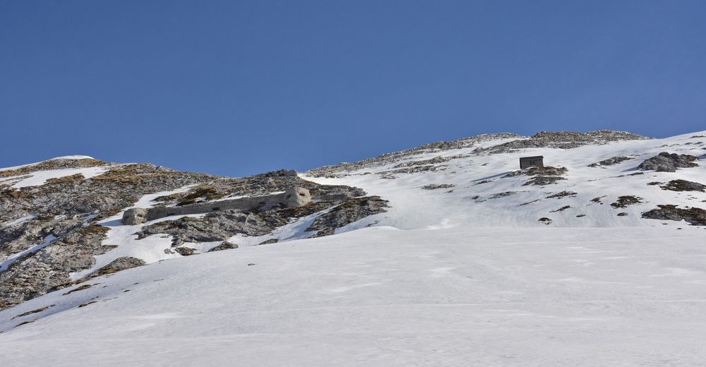
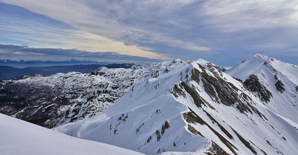
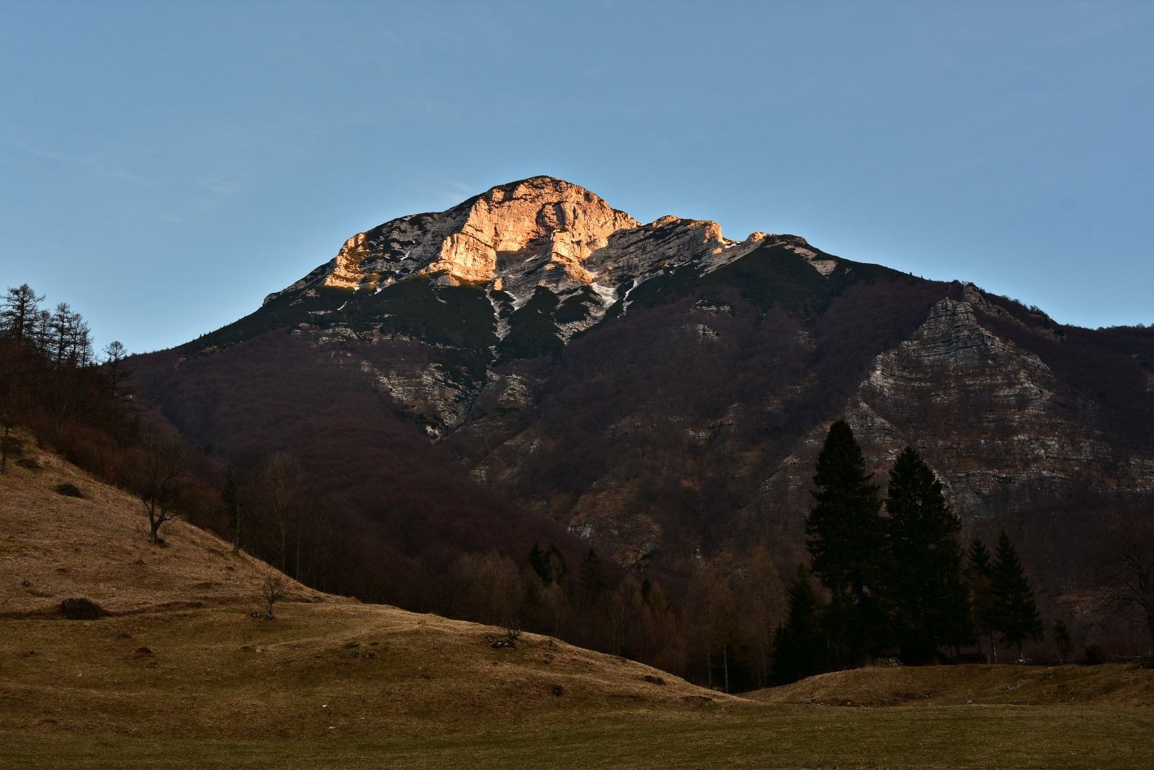
This tour includes two destinations above the Razor Mountain pasture.
- Difficulty
-
medium
- Rating
-
- Starting point
-
Parking lot in the village of Tolminske Ravne
- Route
-
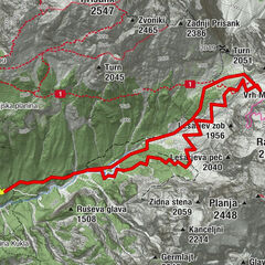
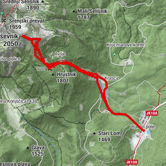
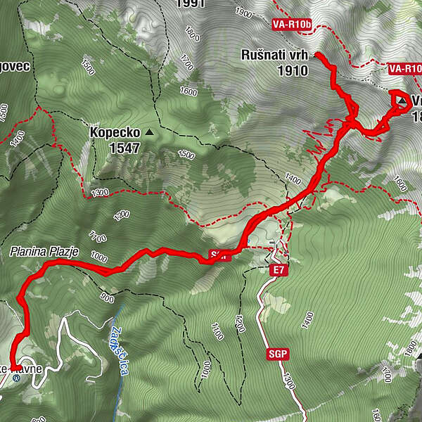
Tolminske Ravne0.0 kmPlanina Plazje0.8 kmBivak Globokoi4.3 kmGloboko (1,837 m)4.5 kmVrh Planje (1,863 m)4.6 kmRušnati vrh (1,910 m)6.2 kmPlanina Plazje9.8 kmTolminske Ravne10.7 km
- Best season
-
AugSepOctNovDecJanFebMarAprMayJunJul
- Description
-
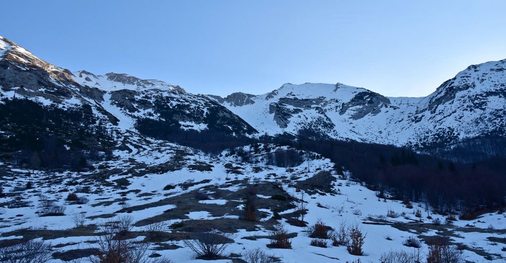
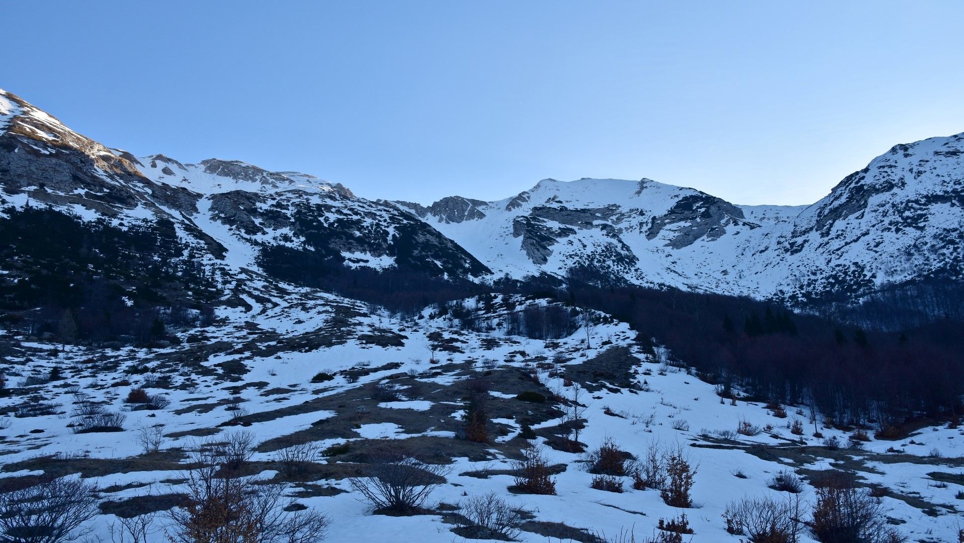
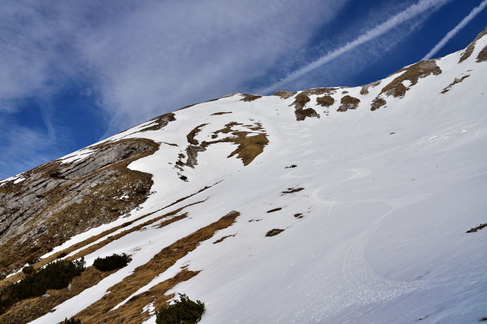
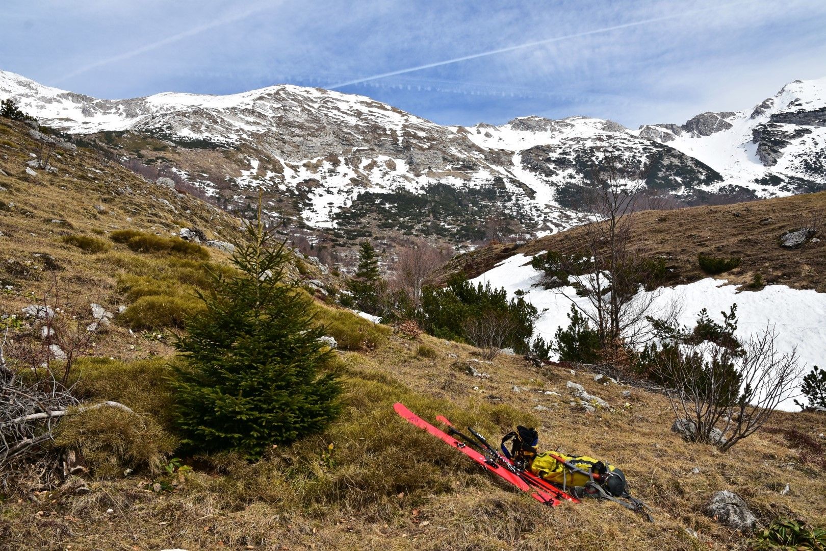
In the village of Tolminske Ravne, start following the hiking trail to the Razor Mountain pasture. At the edge of the mountain pasture you can usually already put your skis on, however, if hiking conditions are good, you will be faster on foot.
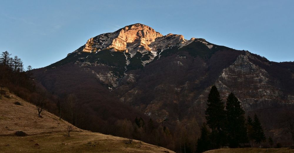
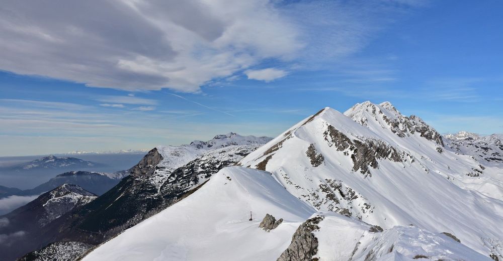
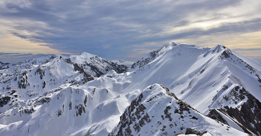
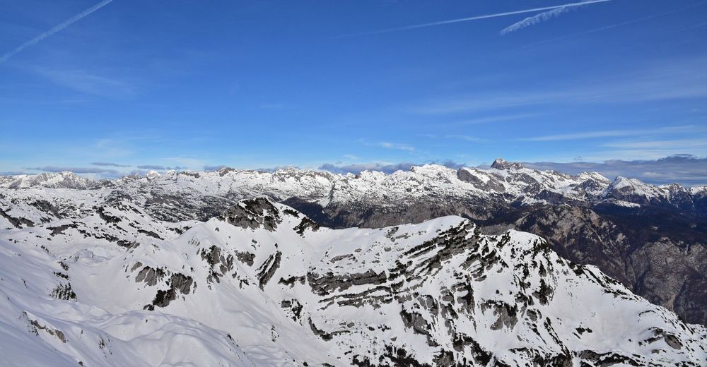
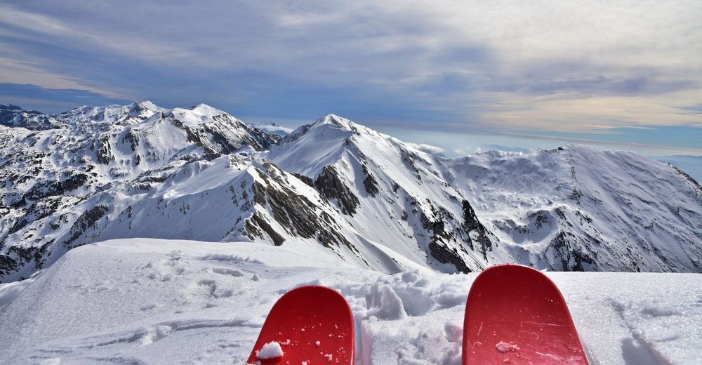
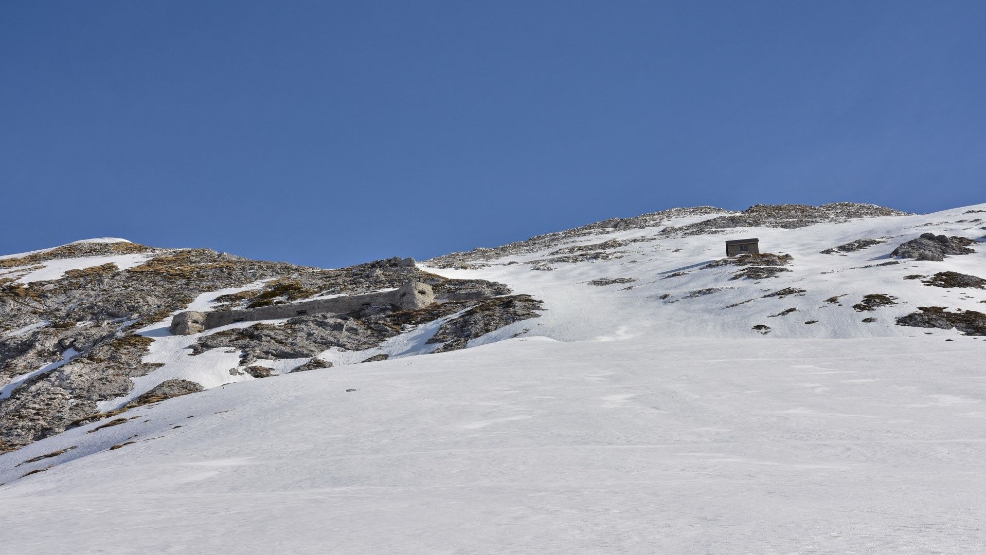
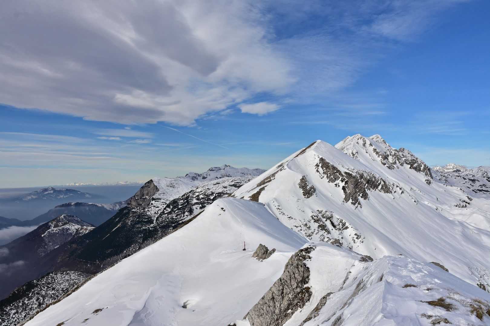
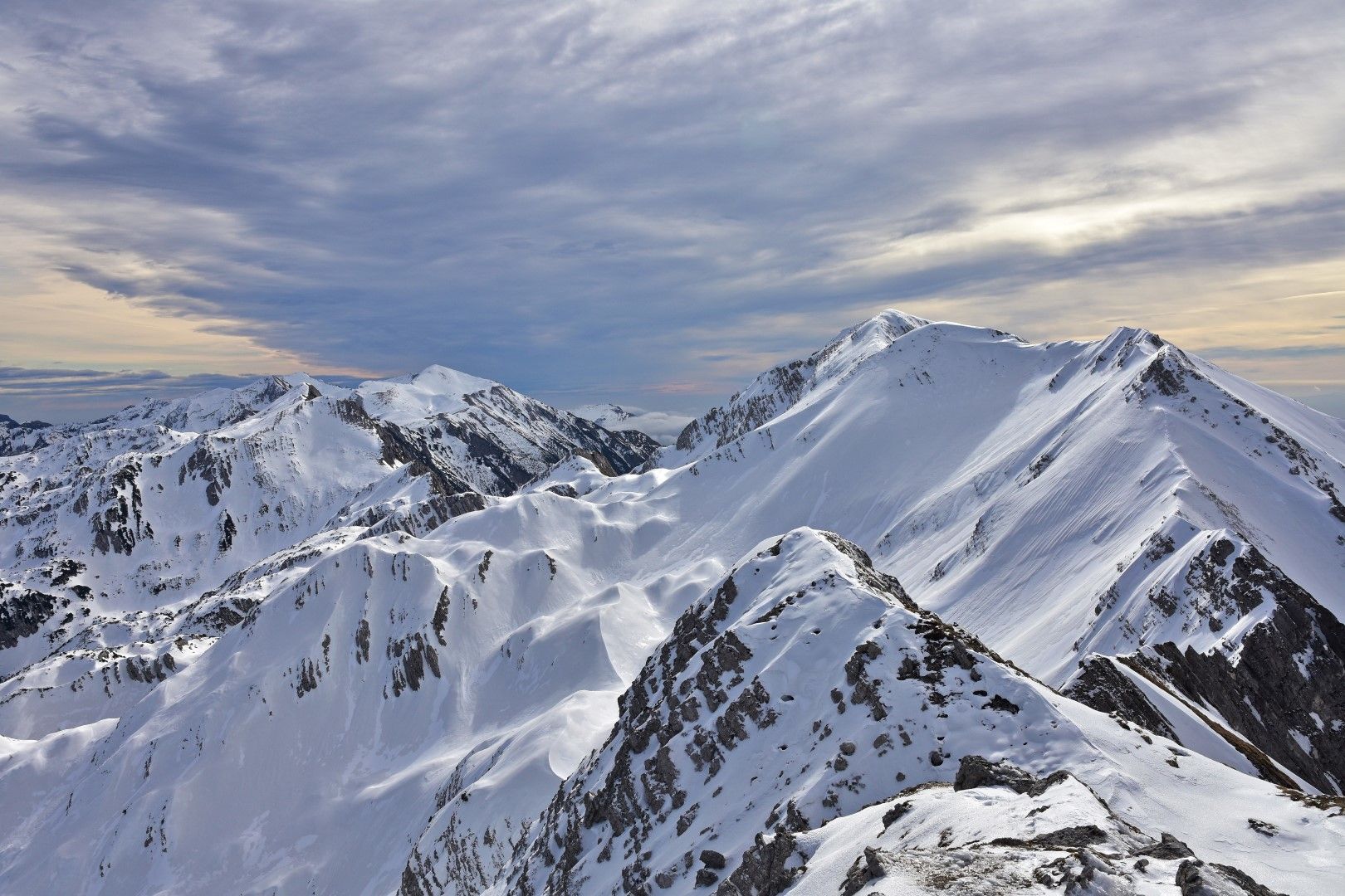
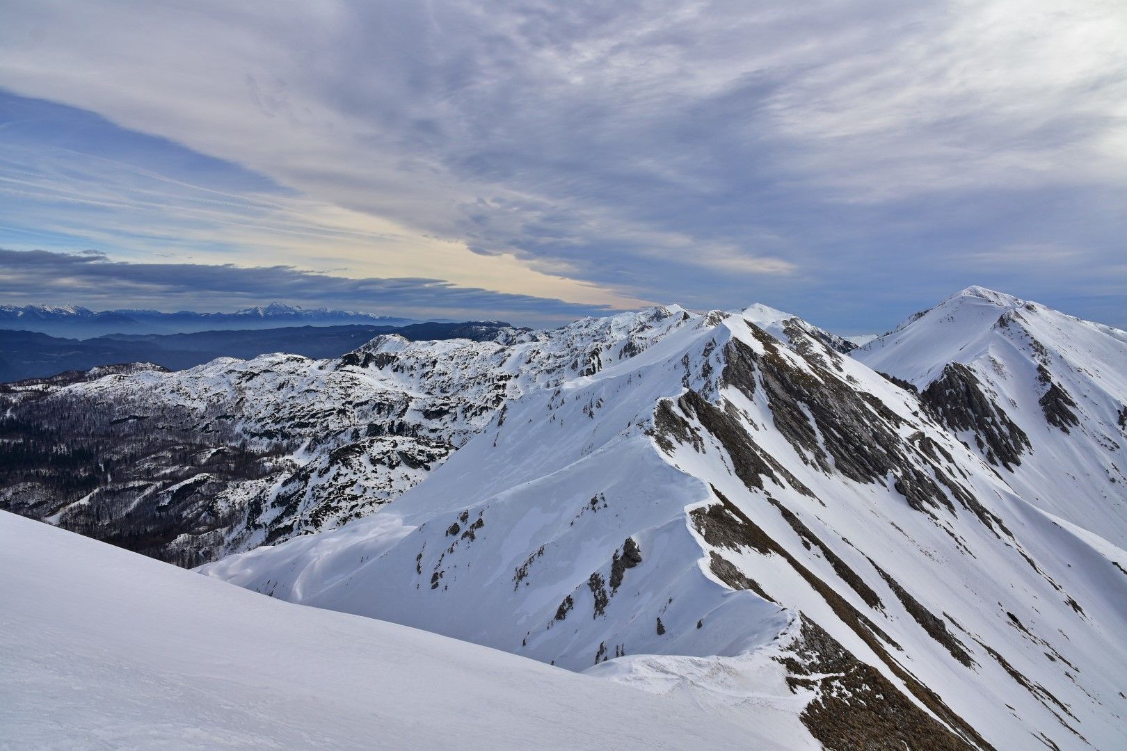
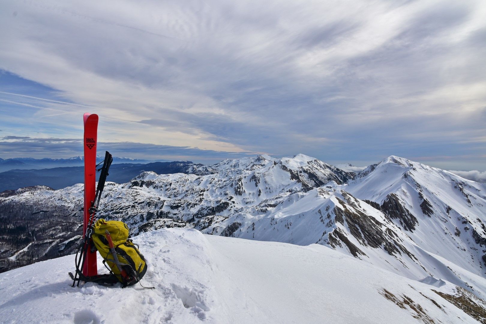
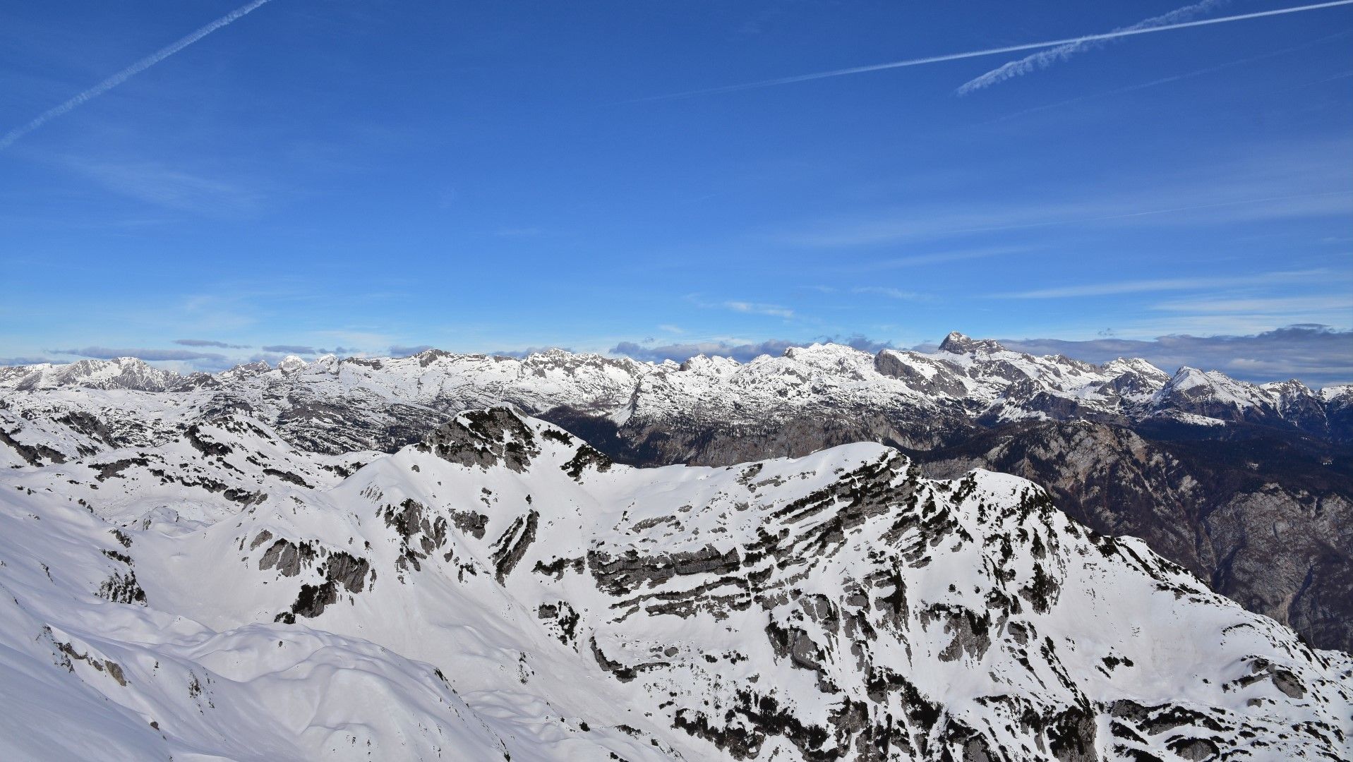
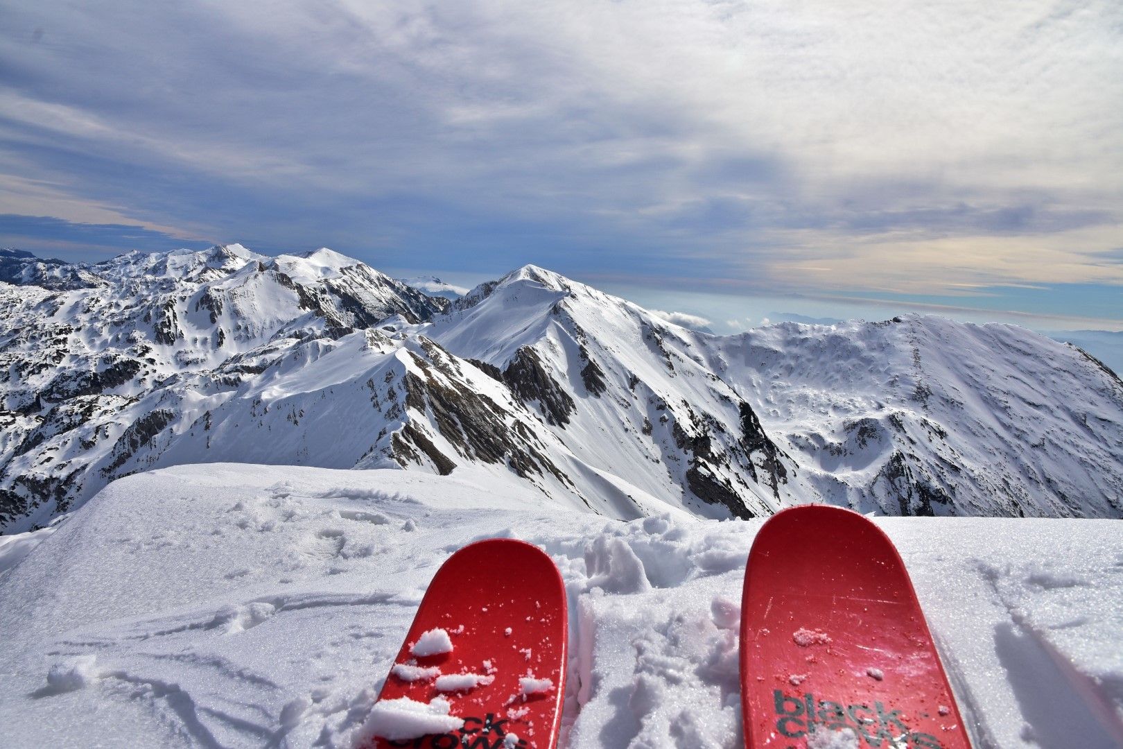
Our ascent is routed along the most distinctive channel above the centre part of the mountain pasture. When you arrive to the top of the channel turn to the right and continue uphill along the ridge to the bivouac which is well visible from the mountain pasture. From the bivouac you only have to hike for a few minutes until you arrive to the ridge where splendid views open towards the Bohinj area. You should ski along the same trail you came from.
Take off your skis at the top of the channel and continue to the nearby Mt. Rušnati vrh. The upper section of the ascent is quite steep and requires good conditions. When you arrive to the top of the mountain you will be awarded again with luxurious views of the Julian Alps. You should ski along the same trail you came from to the channel which you follow to the mountain pasture and to the tree line.
- Directions
-
At the parking lot, start following the hiking trail towards the Razor Mountain pasture. You will first ascend along the most distinctive channel above the mountain pasture and at the top of the channel turn to the right from where you will continue along the rib past the bivouac to the top.
You should ski back to the top of the channel and climb on Mt. Rušnati vrh. From the top of this mountain ski down the same trail you came from to the channel and across the mountain pasture to the tree line where you continue along the same trail you came from to the village of Tolminske Ravne.
- Highest point
- 1,882 m
- Endpoint
-
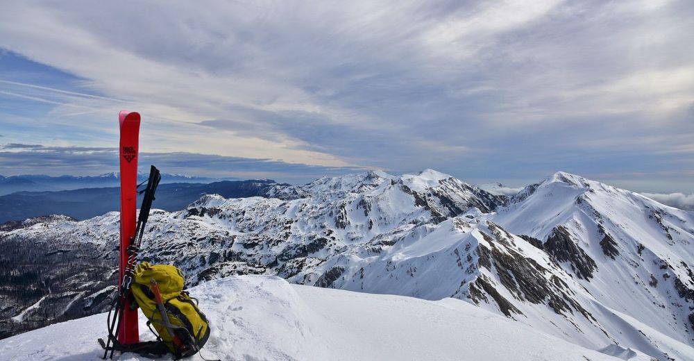
Globoko Mountain pass and Mt. Rušnati vrh (1915 m)
- Exposition
- Height profile
-
 © outdooractive.com
 - Equipment
-
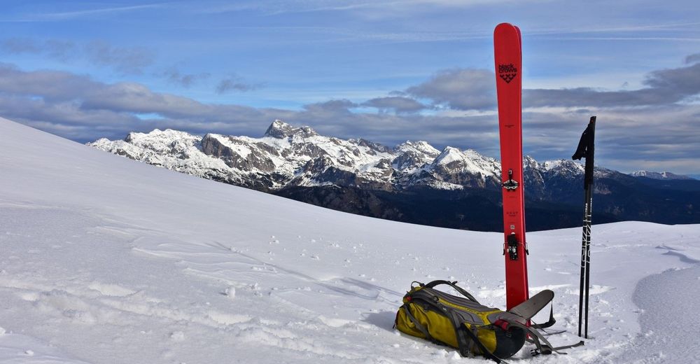
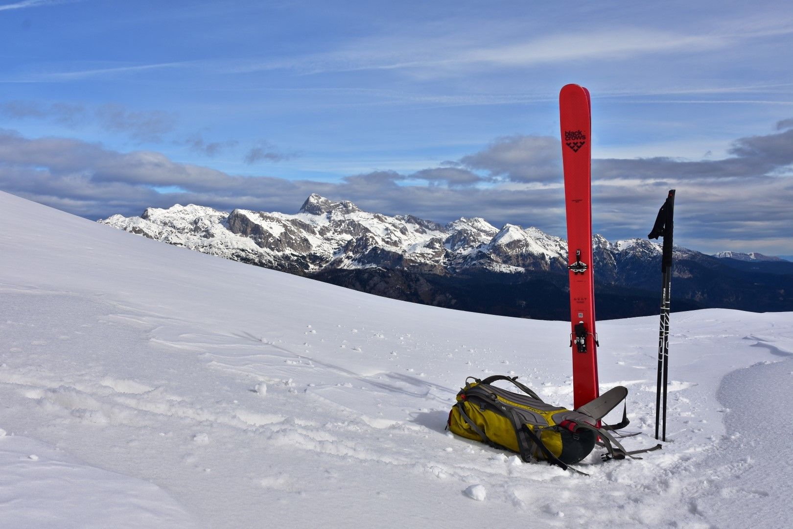
Usual ski touring equipment, ice-axe, crampons.
- Safety instructions
-
This tour requires good ski conditions. In uncertain conditions you should only ascend to the Globoko Mountain pass. The ascent to Mt. Rušnati vrh from the described direction is very steep and dangerous for avalanches if the snow is fresh, and exposed and slippery if the snow has already hardened.
- Arrival
-
From the town of Tolmin through the village of Žabče into the valley of the Zadlaščica River and along the narrow mountain road to the village of Tolminske Ravne.
- Public transportation
-
There is no public transportation available.
- Parking
-
Tolminske Ravne - marked parking lot.
-

-
AuthorThe tour Globoko Mountain pass and Mt. Rušnati vrh (1915 m) is used by outdooractive.com provided.