Peaceful tour from Avsa to Mt. Matajur (1642 m) and Mt. Mrzli vrh (1358 m)


- Brief description
-
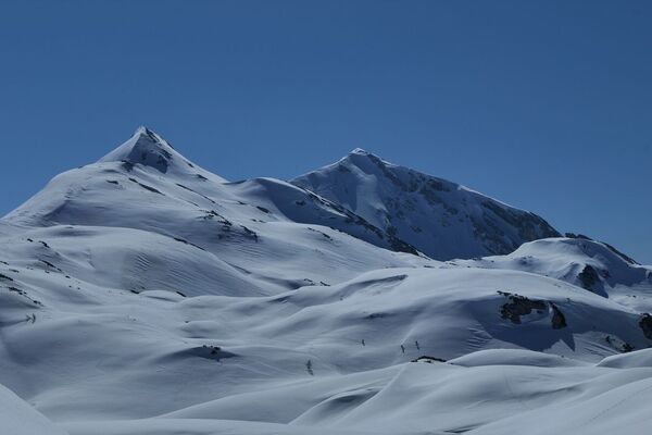
Mt. Matajur is a ski touring destination which offers wonderful skiing along the former ski slope on the southern side of the mountain, whilst the slopes which are less appropriate for skiing will satisfy those who enjoy solitary skiing.
- Difficulty
-
medium
- Rating
-
- Starting point
-
Avsa
- Route
-
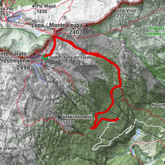
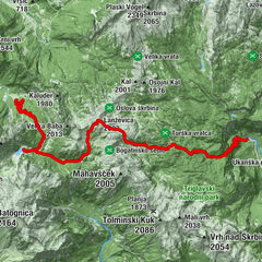
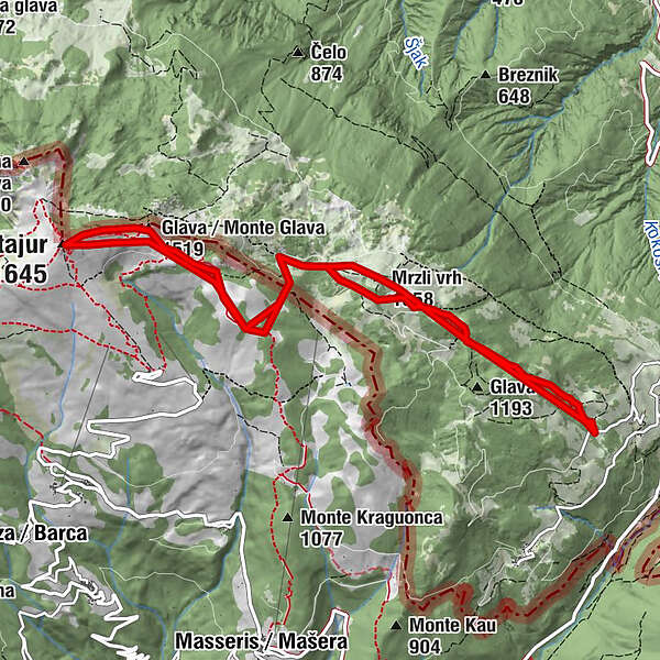
Srednji vrh (1,323 m)2.1 kmMatajur (1,645 m)5.8 kmMrzli vrh (1,358 m)9.1 kmSrednji vrh (1,323 m)9.4 km
- Best season
-
AugSepOctNovDecJanFebMarAprMayJunJul
- Description
-
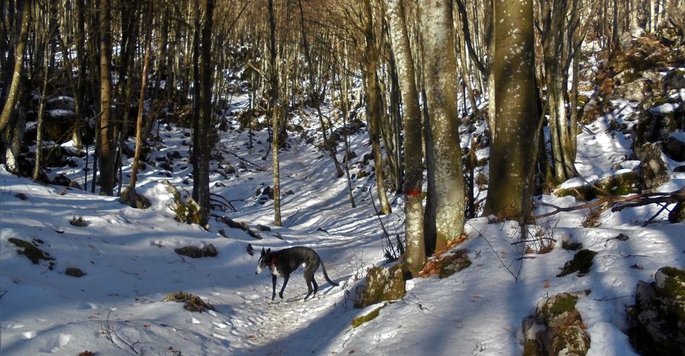
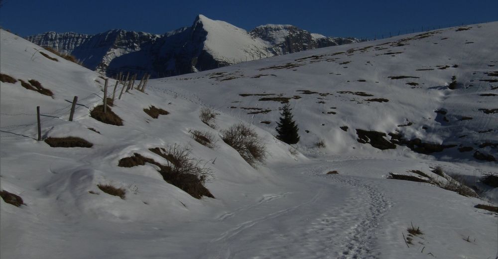
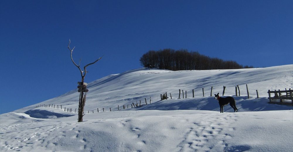
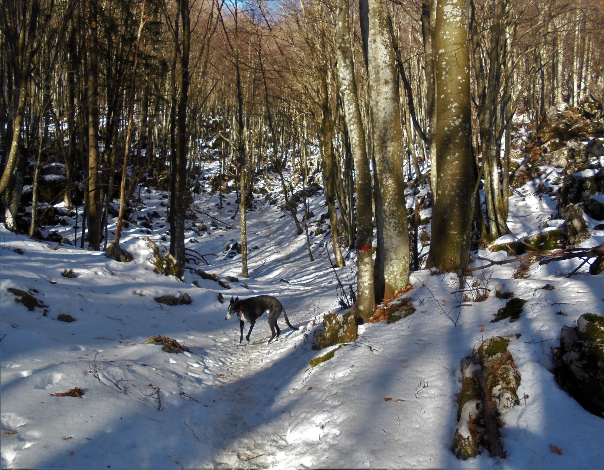
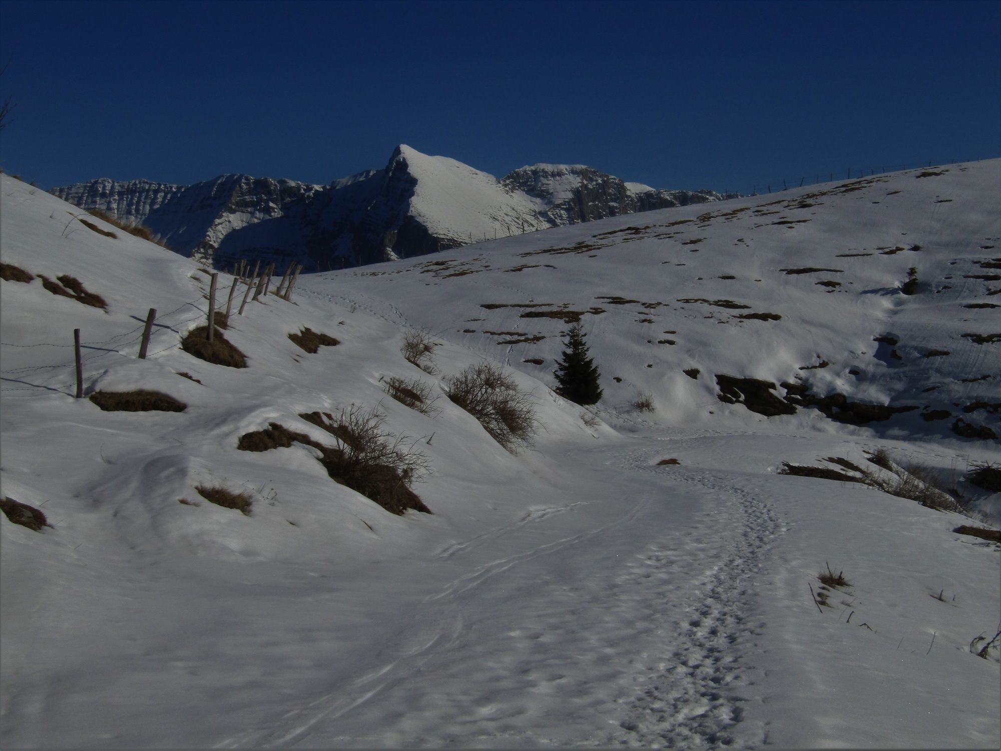
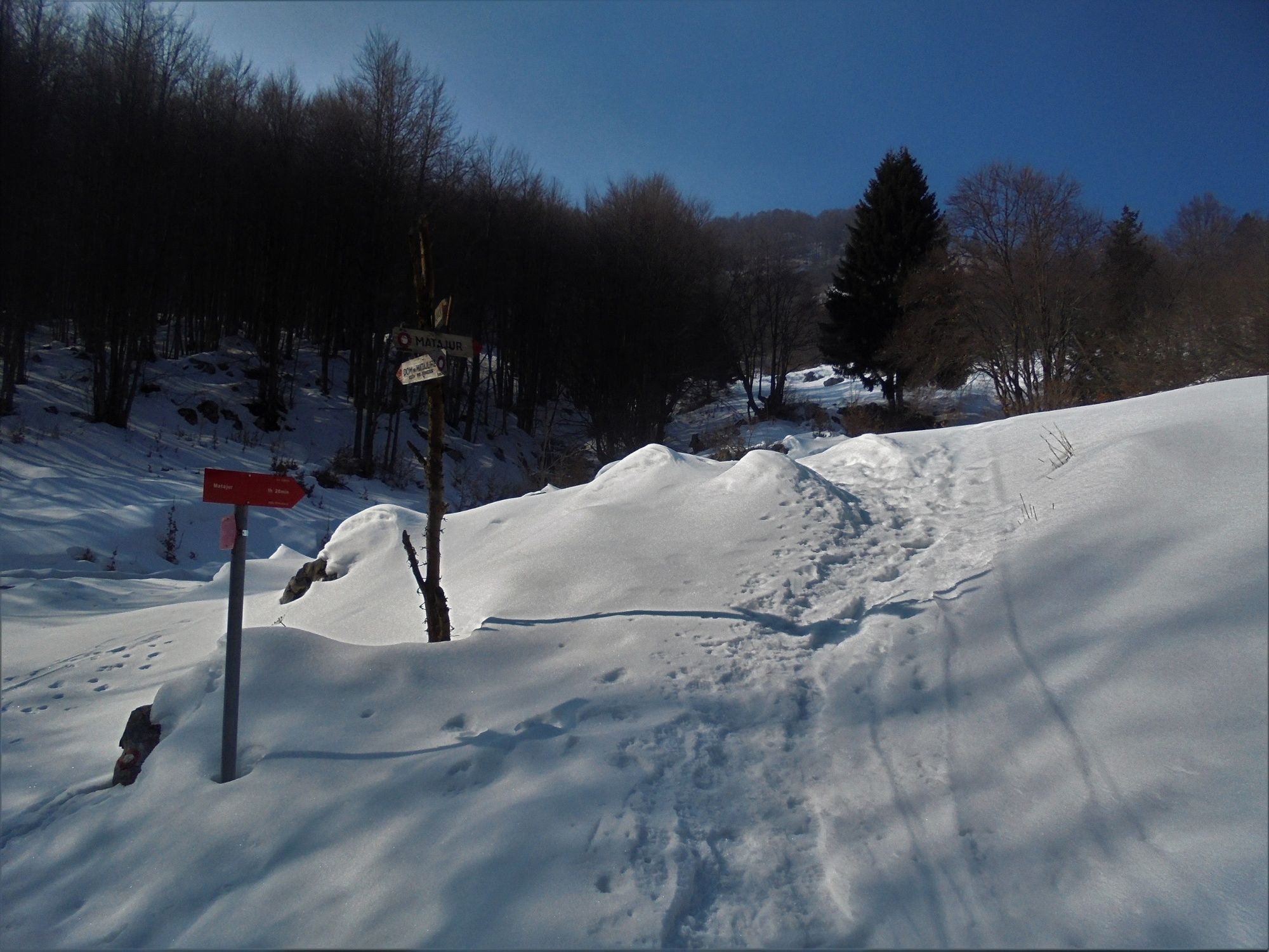
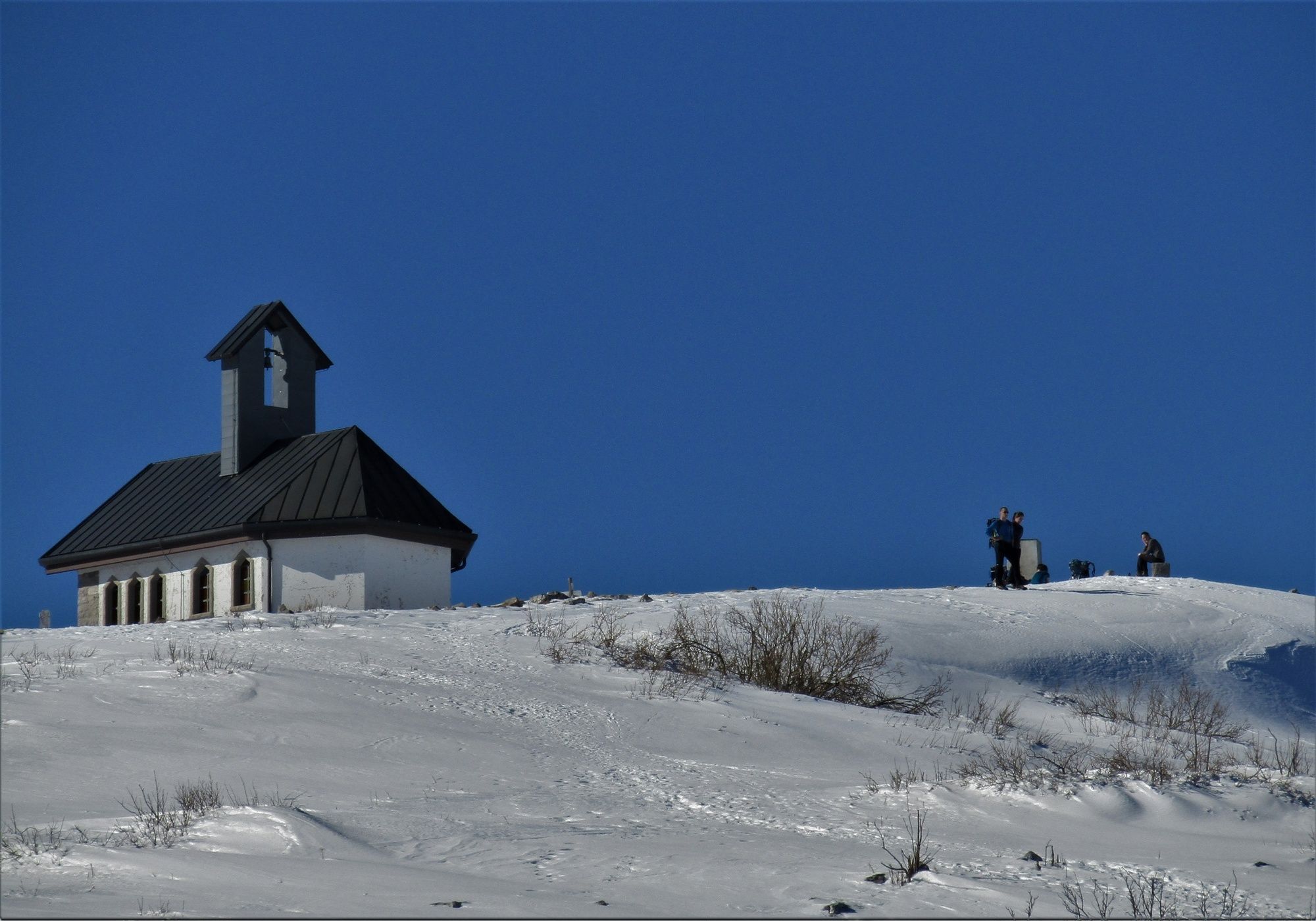
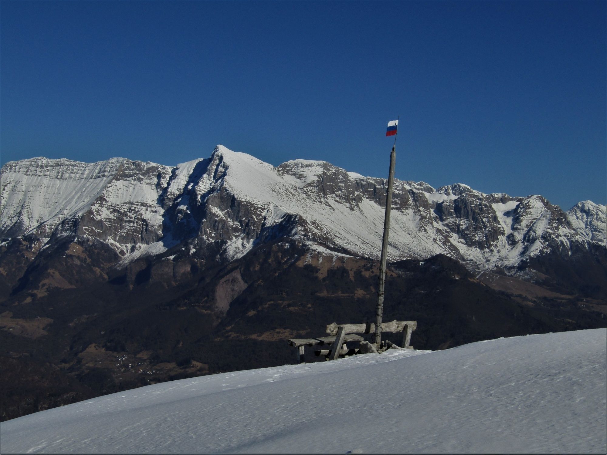
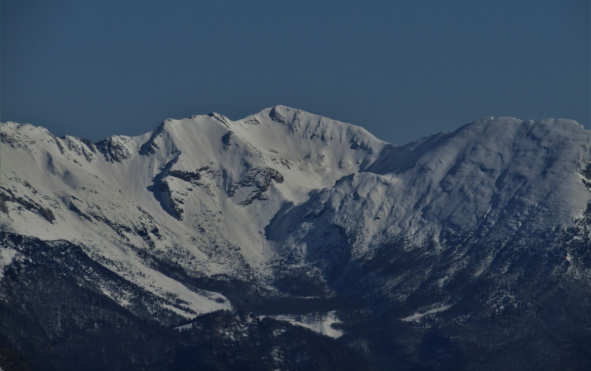
In the village of Avsa, start following the summer road towards Mt. Matajur which leads through a wonderful beech forest to Mt. Mrzli vrh above the Idrska planina Mountain pasture. The top of the mountain is a wonderful sightseeing point offering views of the Soča Valley and the Julian Alps, Western Julian Alps, Dolomites Mountain range and the summits above the Baška grapa Valley. From the top of Mt. Mrzli vrh you should return to the summer road on skis or on foot. Instead of continuing along the classic trail beneath the ridge of Mt. Matajur, continue along the mule trail to the Italian side of the mountain. This comfortable trail will take you to the junction where you can ascend to the eastern ridge of Mt. Matajur along the marked trail No. 736 routed on the southern slope of the mountain. You only have to overcome a short and gentle ascent to reach the top.
You should ski down the wonderful eastern slope towards the ridge access trail and continue along this trail until you reach the mule trail. The gentle slope of the mule trail allows you to descend to the junction of the summer trail. Continue on foot to Mt. Mrzli vrh. If you have enough energy left, we recommend you to ascend to the top of this mountain and ski down the eastern slope. Otherwise, descend down the same trail you came from.
- Directions
-
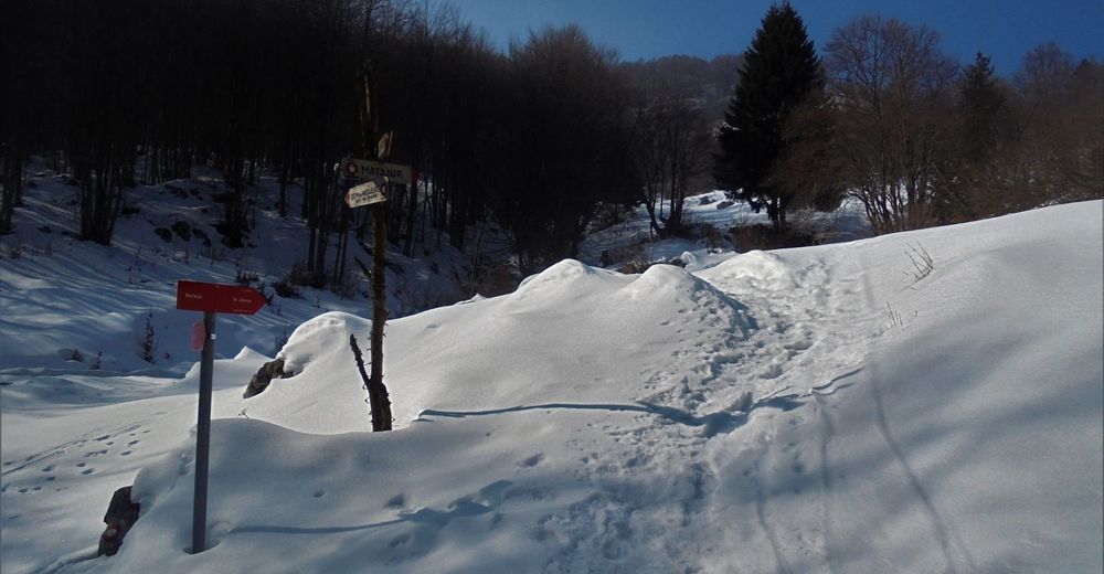
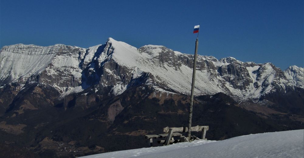
At the parking lot above the village of Avsa start following the summer road towards Mt. Mrzli vrh. Follow the mule trail to the first junction where the trail continues towards Mt. Matajur or Dom na Matajure Mountain hut. Choose the trail for Dom na Matajure Mountain hut. After approximately 30 minutes of ascending along the comfortable mule trail you approach the next sign directing you to trail No. 736 towards the ridge of Mt. Matajur. You will soon notice the chapel on the top of the mountain. Follow the usually well-worn trail towards the top.
If you also decide to ski down the former ski slope you should ski along the southern slope to the Pelizzo Mountain hut, put on your hiking equipment again and ascend back to the chapel. Continue skiing down the wonderful eastern slope and slalom along the access trail back to the mule trail. Ski down this trail to the junction with the trail leading towards the Idrska planina Mountain pasture. We also recommend you to ascend on Mt. Mrzli vrh whose eastern slope will reward you with additional ski routes.
At the foothills of Mt. Mrzli vrh, ski along the access trail or descend down the cart track which serves as access road to the mountain pastures. You should only decide to take this route in good snow conditions which allow skiing to the parking lot. The cart track from the mountain pasture to the parking lot is 7 kilometres long.
- Highest point
- 1,627 m
- Endpoint
-
Mt. Matajur (1642 m) and Mt. Mrzli vrh (1358 m)
- Height profile
-
 © outdooractive.com
 - Equipment
-
You should use equipment appropriate for the time of the ascent. In conditions when day temperatures are high and night temperatures are low we recommend you to use ski crampons or crampons.
- Safety instructions
-
During the spring months, the northern slopes are often quite hard and covered with ice in early morning hours, which is why we recommend you to use ski crampons or crampons if you ascend on foot. The trail is safe and also appropriate for beginners.
- Tips
-
Instead of taking the described access trail, you can also descend (and ascend at the beginning) to the starting point along the marked cart track (Avsa – 7 km) if snow conditions are good.
- Additional information
-
We recommend physically well prepared tour skiers to first descend along the southern slope of the mountain and then ascend back to the top (300 metres of height difference) and continue to the starting point along the described trail.
- Arrival
-
If you come from the town of Kobarid, drive to the village of Idrsko, turn to the right towards the village of Livek where you turn to the right again and start following the signs for Mt. Matajur and the village of Avsa.
If you come from the town of Tolmin, turn to the left in the village of Idrsko and continue to the village of Livek.
- Public transportation
-
There is no public transportation available during the winter months.
- Parking
-
Parking lot above the village of Avsa (1.5 km from the village in the direction of Mt. Matajur).


-

-
AuthorThe tour Peaceful tour from Avsa to Mt. Matajur (1642 m) and Mt. Mrzli vrh (1358 m) is used by outdooractive.com provided.