Mt. Krn (2244 m), a ski touring destination that rarely disappoints


- Brief description
-
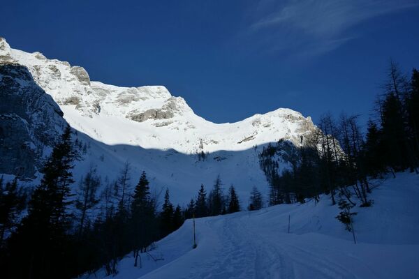
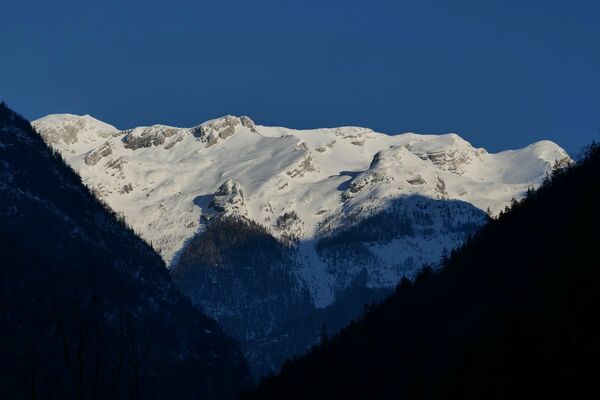
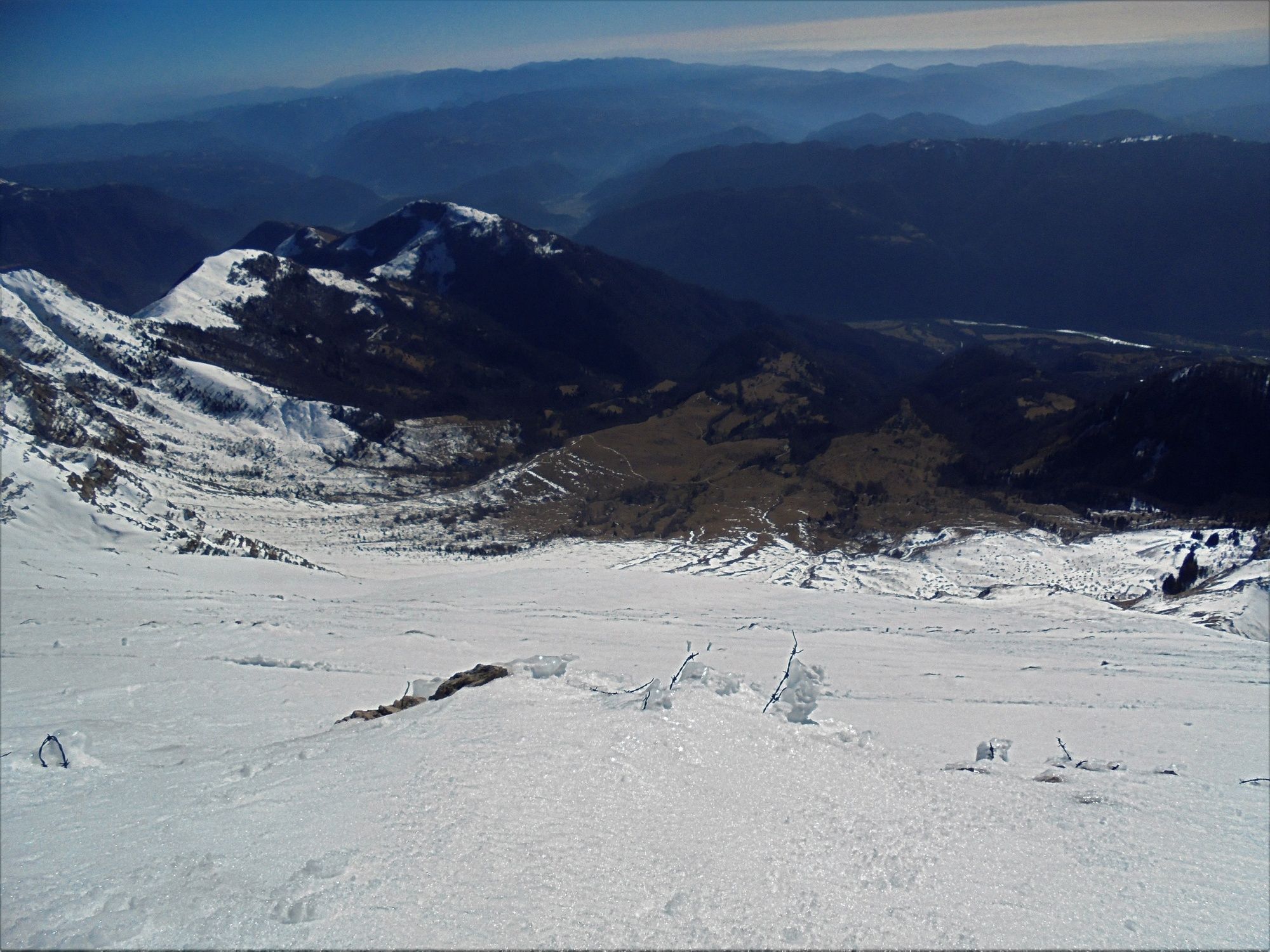
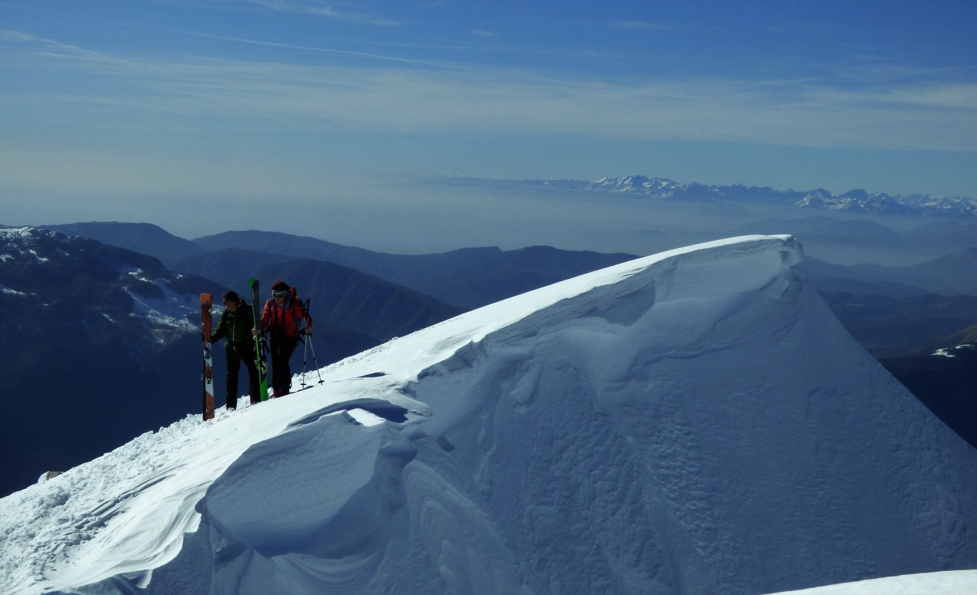
Many ski tourers find Mt. Krn attractive because of its prominent wall. If snow conditions are favourable it offers excellent skiing all the way to the parking lot.
- Difficulty
-
difficult
- Rating
-
- Starting point
-
Kuhinja Mountain pasture
- Route
-
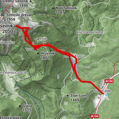
Koča na planini Kuhinja0.0 kmVeliki hrib (995 m)0.1 kmPlanina Kuhinja0.2 kmGomiščkovo zavetišče na Krnu5.0 kmKrennberg (2,244 m)5.5 kmPlanina Kuhinja10.4 kmVeliki hrib (995 m)10.6 kmKoča na planini Kuhinja10.6 km
- Best season
-
AugSepOctNovDecJanFebMarAprMayJunJul
- Description
-
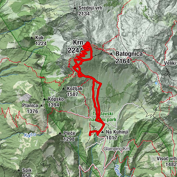
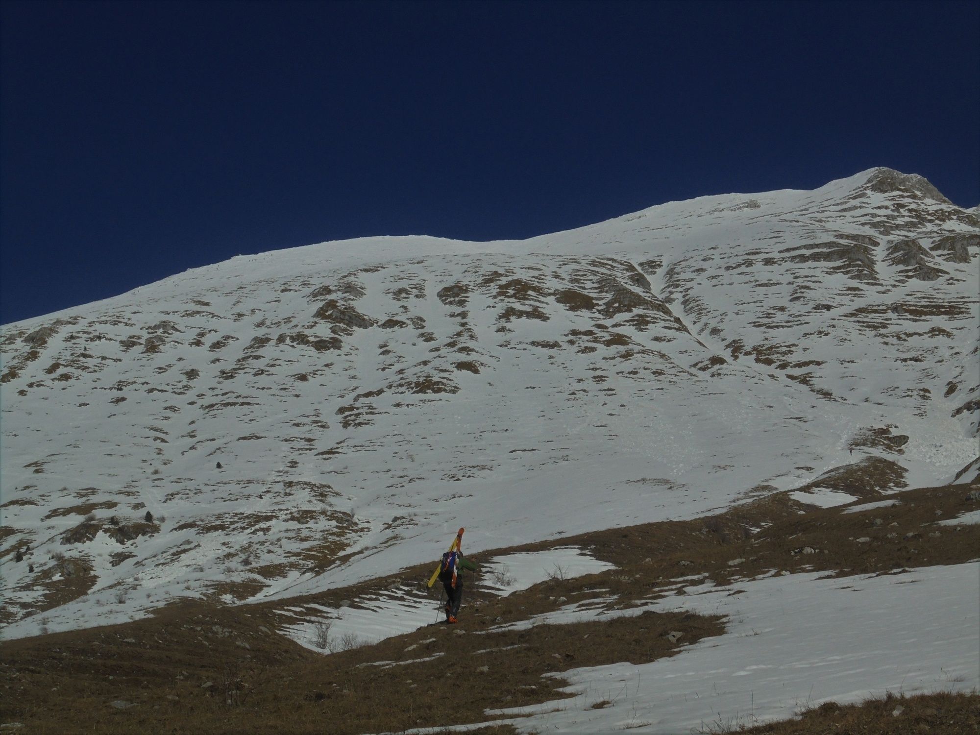
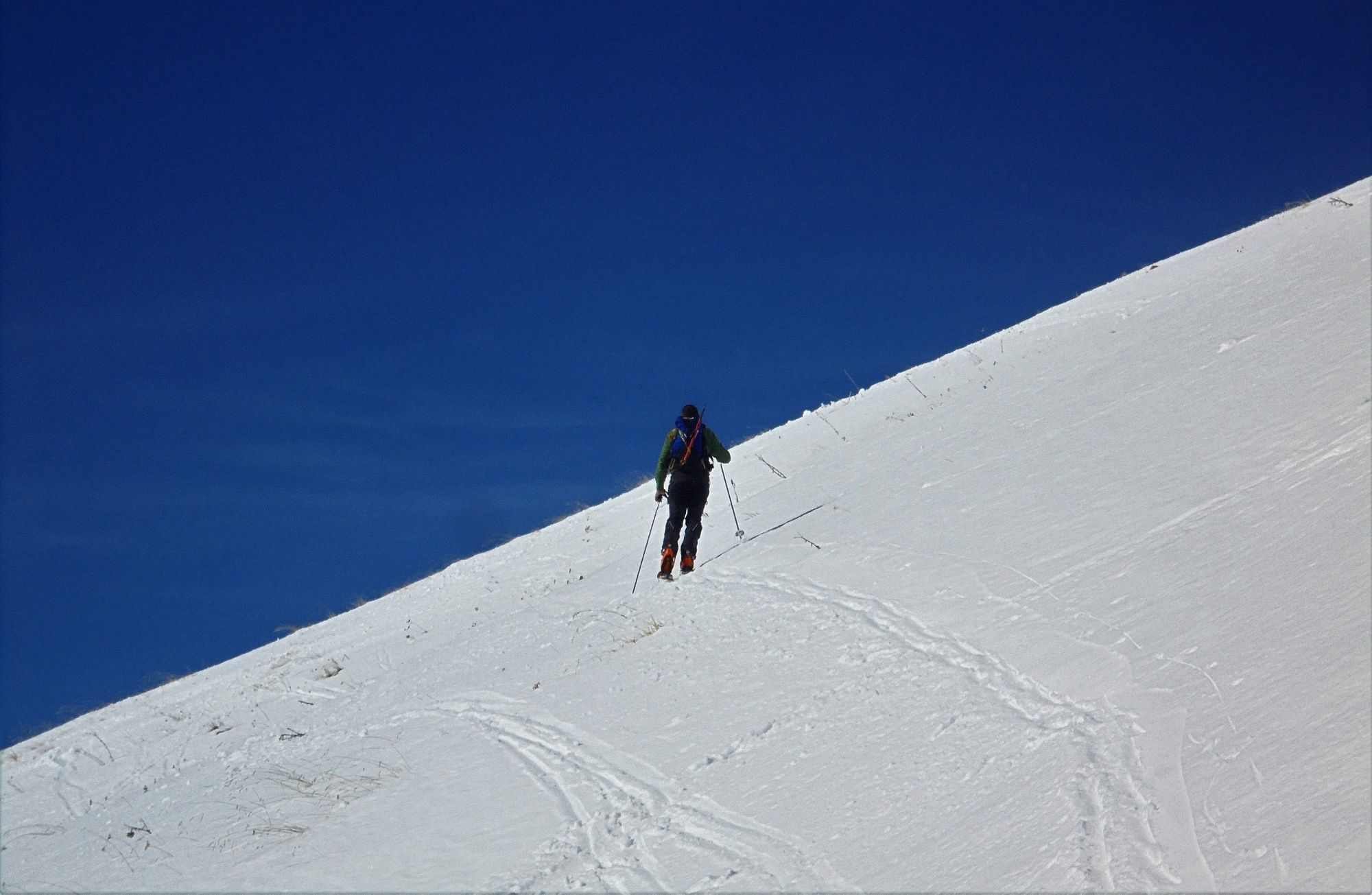
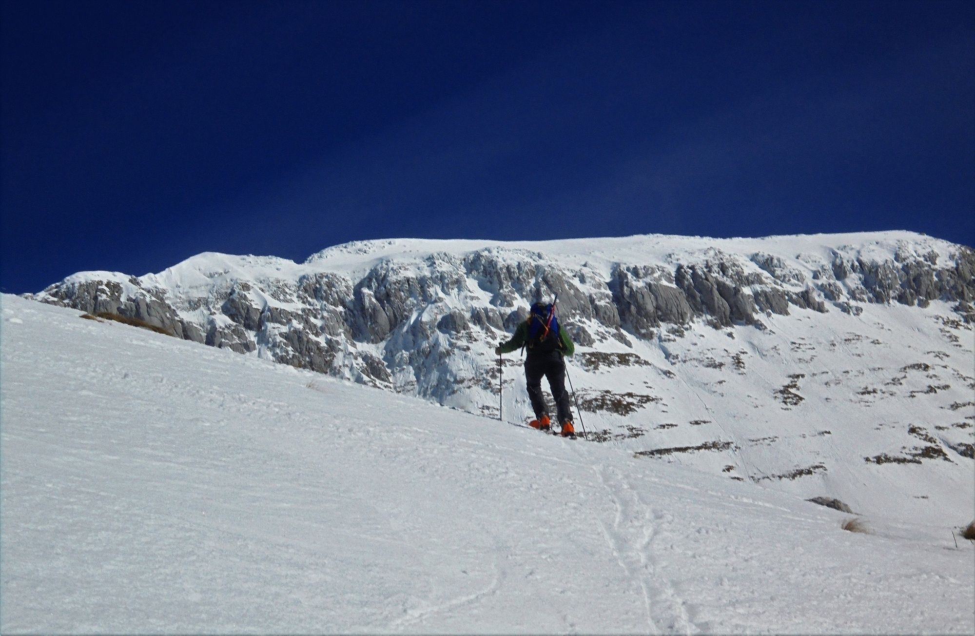
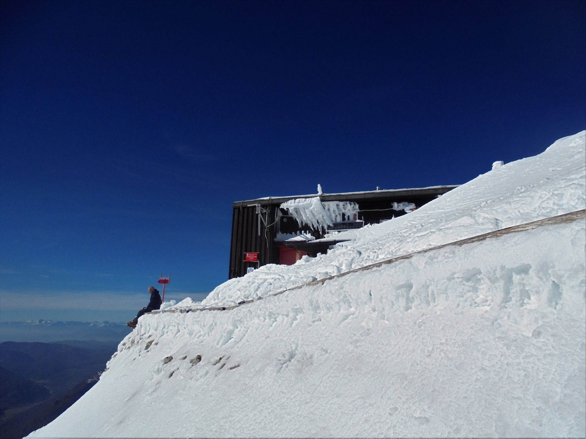
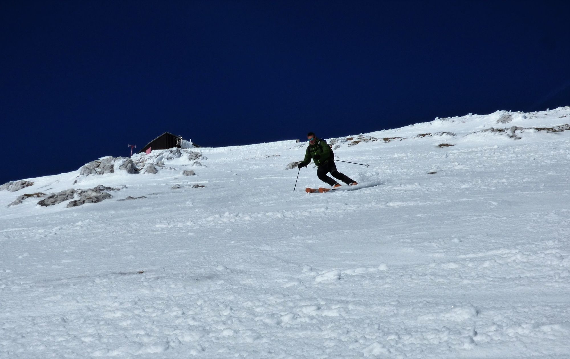
At the parking lot in front of the Kuhinja Mountain pasture turn towards the Kašina Mountain pasture. At the junction in front of this mountain pasture turn to the left and continue uphill across the meadows. Keep to the edge of the ravine which will take you directly beneath the prominent stubby Mt. Batognica on the right side of Mt. Krn. Before you reach the central ravine, turn towards the summer trail – to the left below the strip of rock beneath the wall. Cross the slope and gradually ascend to the wall of Mt. Krn. Directions are simple because the wall is just in front of you. If the weather is nice, you can see the mountain hut beneath the summit almost all along the way. If you can already notice ski tracks, follow them to the mountain hut and further to the top of the mountain. The mountain hut is closed during the winter months but you can rest in the winter cabin which does not have many beds. It is equipped with benches and blankets.
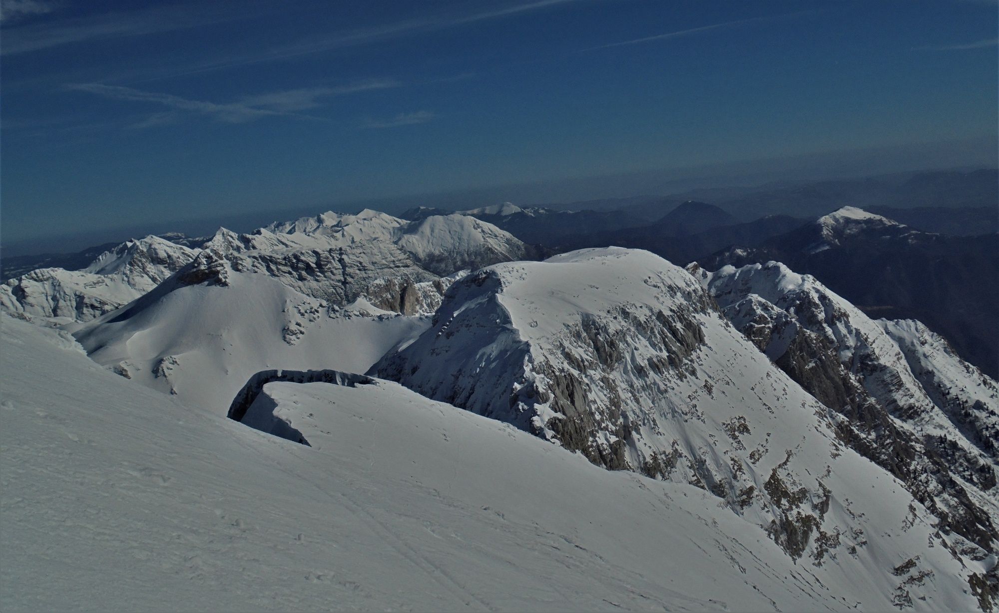
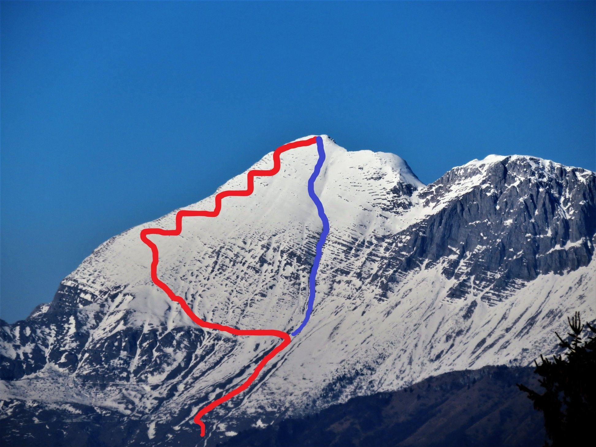
Ski along the described ascent or turn to the left towards Mt. Batognica and descend to the lower slopes along the ravine. We recommend this version for more experienced skiers.
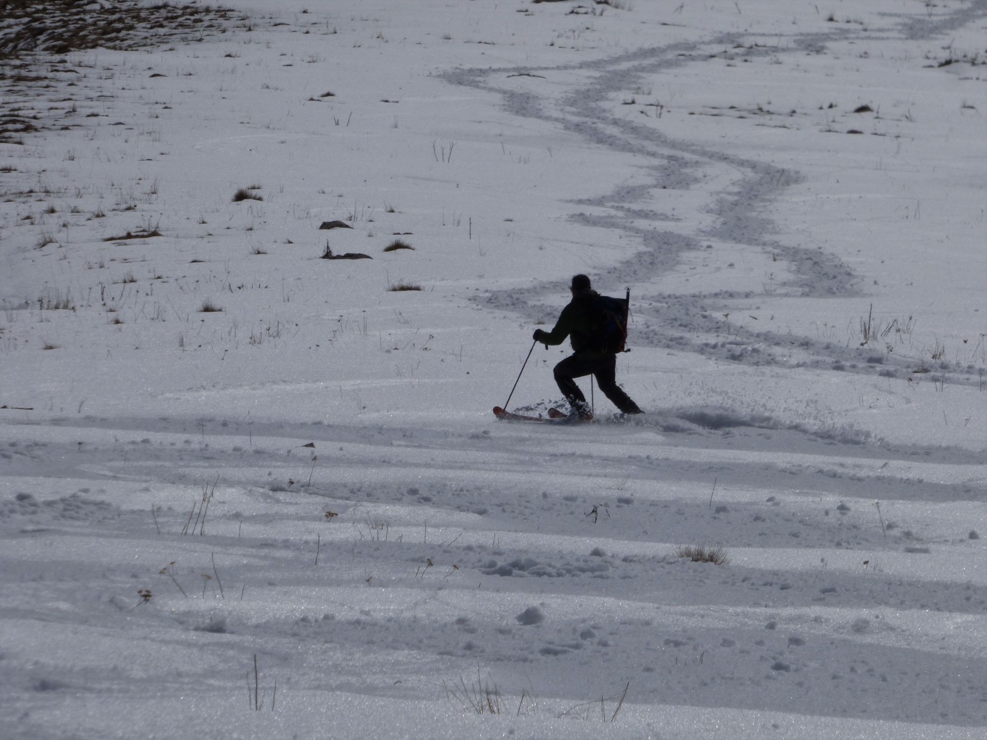
If the winter is generous with snow you can ski all the way to the parking lot.
- Directions
-
At the parking lot start following the trail towards the Kašina Mountain pasture. At the junction turn to the left towards the Slapnik/Zaslap Mountain pasture and after a few metres turn uphill to the right across the meadows. The best option is to go across the slope between both ravines. Ascend to the transverse section beneath the strip of rock where the summer trail is routed. By crossing the slope you gradually ascend. When you reach the wall, follow the existing ski tracks or start your own track if there are no such ski tracks visible. All along the way you can see the Gomiščkovo zavetišče Mountain hut beneath Mt. Krn, which is why directions are simple.
- Highest point
- 2,204 m
- Endpoint
-
Mt. Krn (2244 m)
- Height profile
-
 © outdooractive.com
 - Equipment
-
If you decide to make the ascent on skis you have to use ski crampons and if you to decide to make the ascent on foot you have to use complete winter equipment – crampons and ice-axe.
- Safety instructions
-
Skiing from Mt. Krn immediately after the snowfall is not safe, however, the snow changes its form faster due to the south position of the slope. During the spring months the snow gets covered with ice due to the low night temperatures and it is reasonable to start the tour a bit later or to wait at the top of the mountain for the surface of the snow to become warmer. Caution is advised due to the danger of slipping.
- Tips
-
If the area is covered with snow, it is best to start ascending directly towards the central ravine and to cross the slope beneath the ravine and continue along the summer trail.
Early morning hours are not always the best choice (very hard surface).
- Additional information
-
In case of favourable snow conditions and if the surface is hard and the snow already changed its form it is also possible to climb directly to the summit of Mt. Krn along the central ravine. The ravine is narrow, which is why ascents on skis are uncommon.
- Directions
-
From Tolmin: Drive along the regional road Tolmin - Bovec and when you arrive to the first few houses of the village of Kamno turn to the right across the bridge. When you arrive to the centre of the village, turn to the left towards the town of Kobarid. At the marked junction approximately 100 metres from the village, turn towards the village of Vrsno. Follow the narrow road to the village of Vrsno and continue uphill to the village of Krn. The road is narrow and steep with few passing places.
From Kobarid: Pass the Planika Kobarid Dairy, cross the Napoleon's Bridge across the Soča River and turn to the right towards the village of Ladra where you follow the sign directing you to the left towards the village of Vrsno where you continue to the village of Krn.
- Public transportation
-
There is no public transportation available.
- Parking
-
Parking lot in front of the Kuhinja Mountain pasture

-

-
AuthorThe tour Mt. Krn (2244 m), a ski touring destination that rarely disappoints is used by outdooractive.com provided.