


- Brief description
-
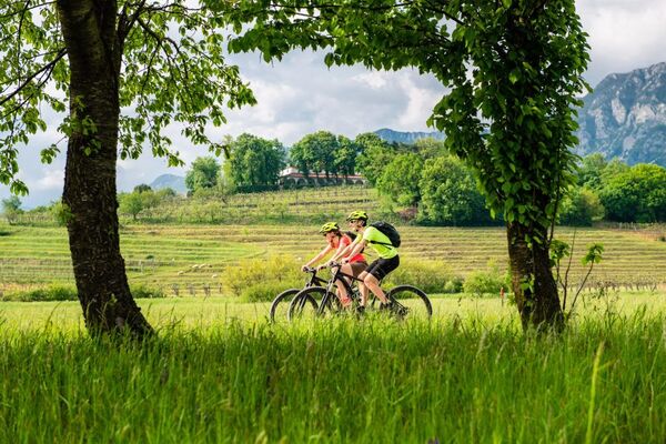
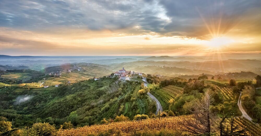
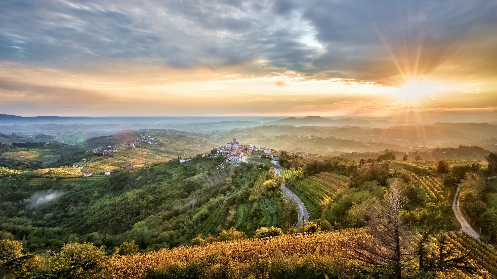
Descent from Goriška Brda into the valley of the beautiful Soča river.
- Difficulty
-
easy
- Rating
-
- Starting point
-
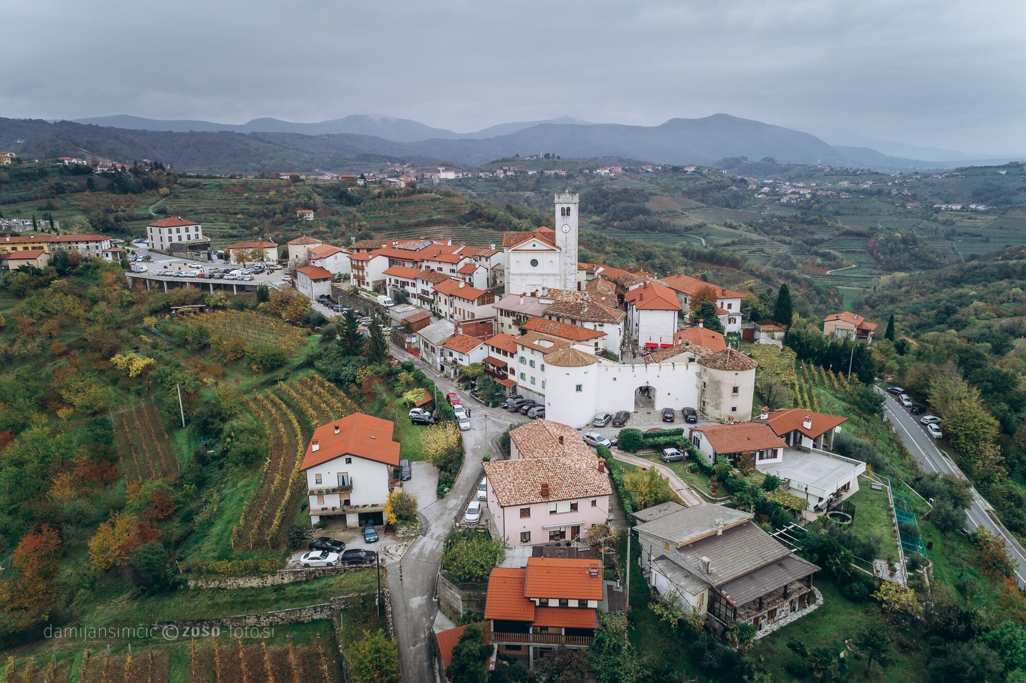
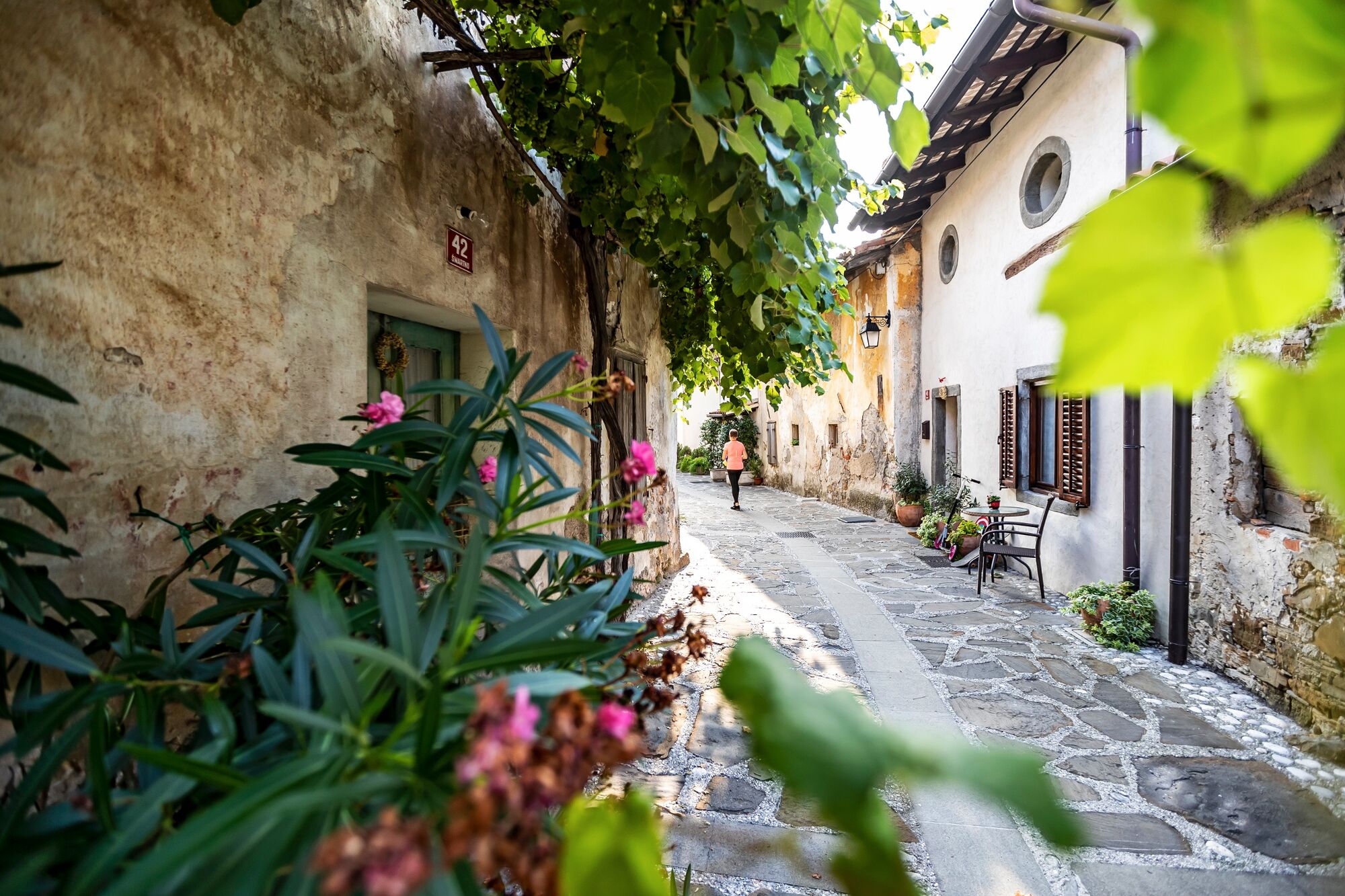
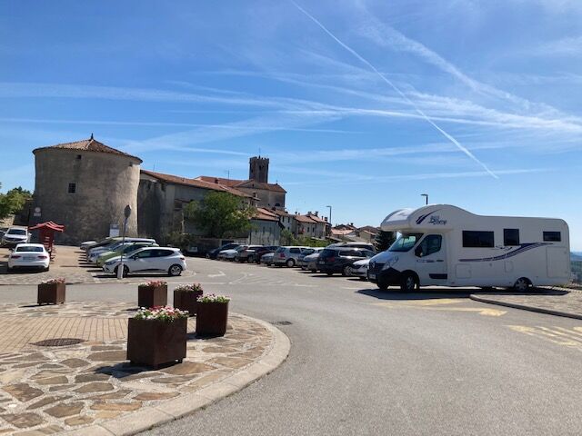
Šmartno
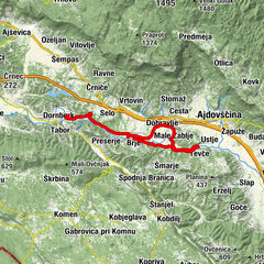
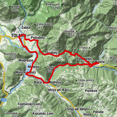
- Route
-
Na KlancuHiša MaricaSan Martin Hotel/Restavracija/Enoteka0.1 kmSan Martino0.1 kmImegna0.6 kmAkrep.pri MARJOTU Bizjak Izidor1.6 kmMejnik (321 m)1.7 kmGugnazze2.2 kmSveti Ahac8.9 kmBrilesse9.5 kmGostilna pri Mostu10.4 kmPlava10.4 km
- Best season
-
JanFebMarAprMayJunJulAugSepOctNovDec
- Description
-
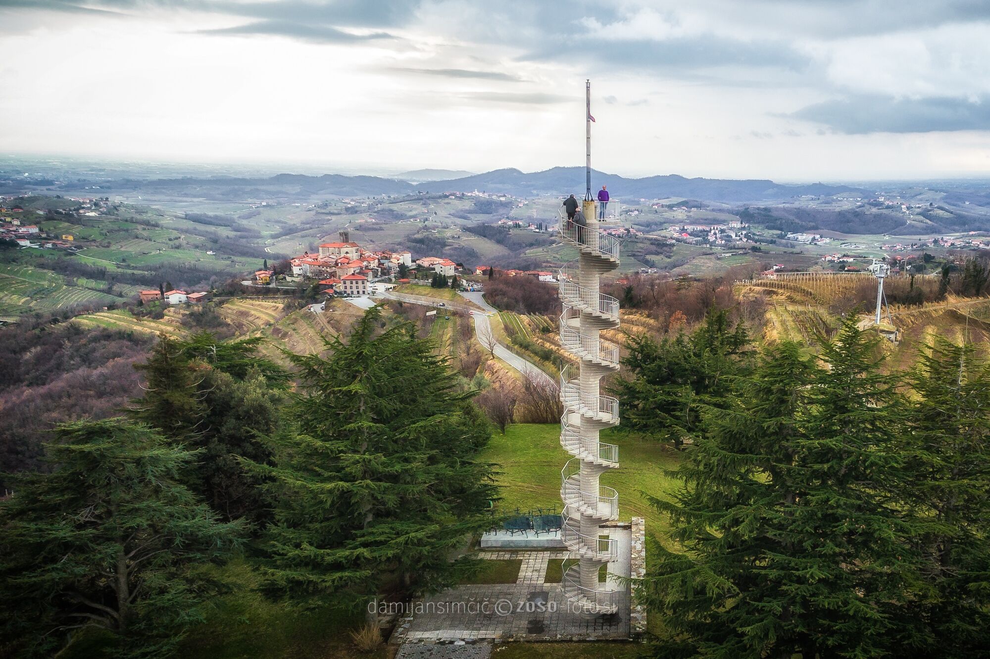
From an old village amidst Goriška Brda ills to the Brda panoramic tower and across the ridge of Sabotin and the shady forest to the Soča Valley and on a train.
- Directions
-
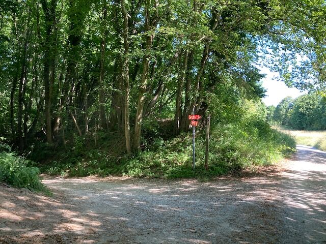
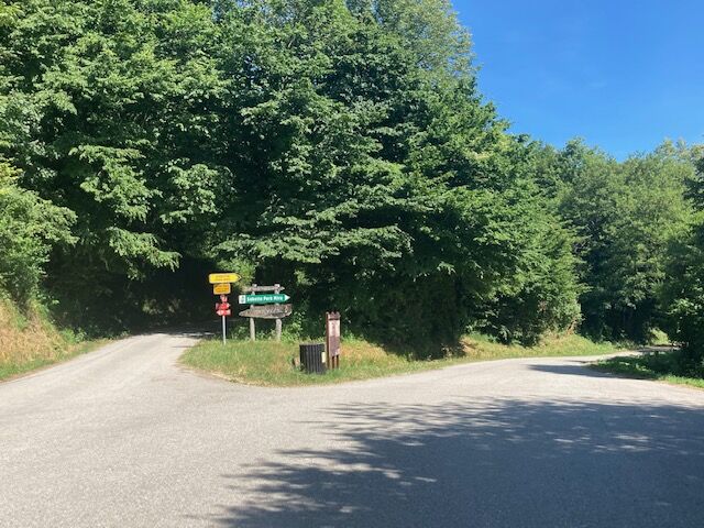
At a car park near Šmartno, turn north and follow the signpost for Imenje. Descend along the asphalt road for a few hundred metres to reach the village. The road takes you through the village and steeply upwards to the right where you will reach an unpaved road. At first the road is steep and then it flattens. After 500 metres you will see a panoramic tower on the right, continue to the right past it and after 100 metres turn sharp right towards the tower. After enjoying the views of the Brda hills, the Julian Alps and the Dolomites as well as the sea, return to the final junction towards the tower and for a few metres to the main road. When you reach the crossroad, turn to Plave. Follow the main road for 800 metres, turn right on the side road towards Sabotin. After a short ascend you will descend and come to a Y crossroad. The right road leads to Sabotin, you will turn right in the direction of “lovska koča” (hunter’s hut). After two hundred metres on the unpaved road, pay attention to an unmarked cart road to the left. There you have to turn on the cart road. It initially descends across the pastures into a wide valley and on the other side ascends to the forest and than continues to the north-east slopes of the Sabotin ridge. The cart road at the Soča River reaches a cycling trail where you turn left and continue straight on to Plave. The railway station is on the left side of the road at the end of the village. The driveway is marked.
- Highest point
- 390 m
- Endpoint
-
Plave
- Height profile
-
 © outdooractive.com
 - Equipment
-
Technically flawless bike (road, gravel, XC, all-mountain)
Helmet, gloves, sunglasses
Food and beverages in a backpack
Spare tire, pump, multi tool, first aid kit
Personal identity document, health insurance card, mobile phone and/or navigation device, map of the area
- Author
-
The tour GORIŠKA BRDA E1: Šmartno – Plave is used by outdooractive.com provided.


General info
-
Brda
25
-
Nova Gorica
5