- Brief description
-
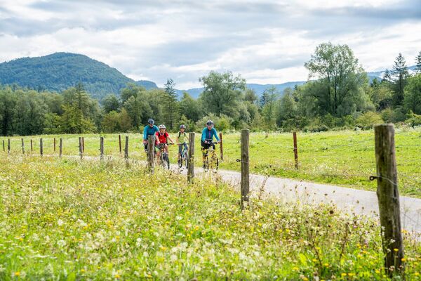
Cycling tour above the Baška grapa Valley, past the homestead of the Slovenian author France Bevk and around the broad Mt. Kojca, is the right choice for hot summer days since it is mostly routed through forests.
- Difficulty
-
difficult
- Rating
-
- Starting point
-
Hudajužna Railway station
- Route
-
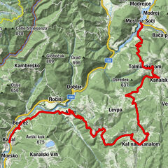
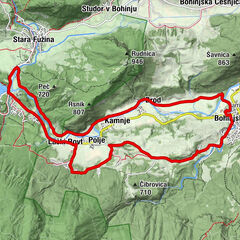
HudajužnaDoljna vas3.1 kmZakojca3.3 kmPieve Buccova6.9 kmGessenizza11.9 kmZakriž15.4 kmGorje17.8 kmVrh Ravni (826 m)19.3 kmZakojca22.9 kmPri Flandru23.2 kmDoljna vas24.8 kmHudajužna28.0 km
- Best season
-
JanFebMarAprMayJunJulAugSepOctNovDec
- Description
-
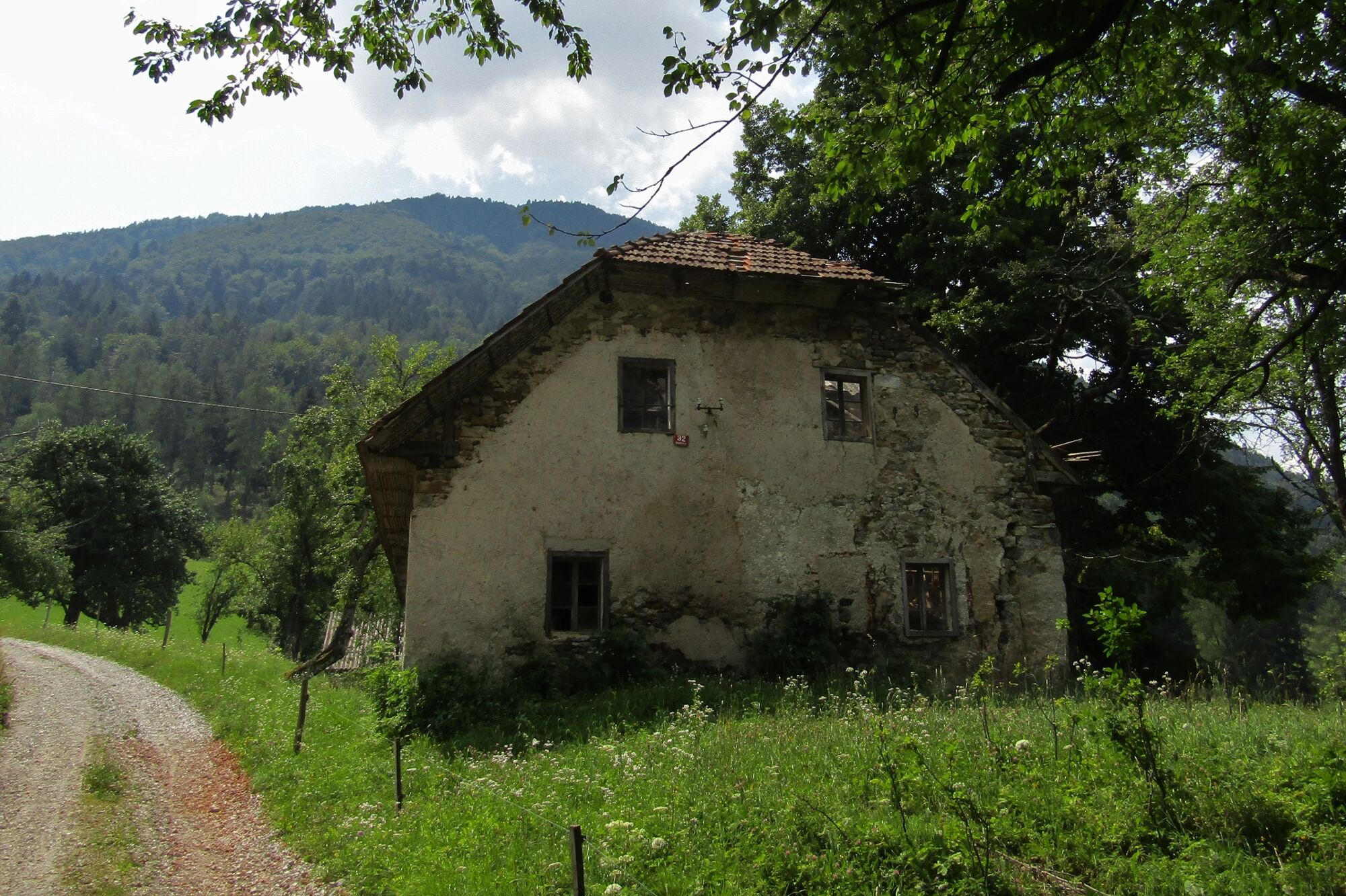
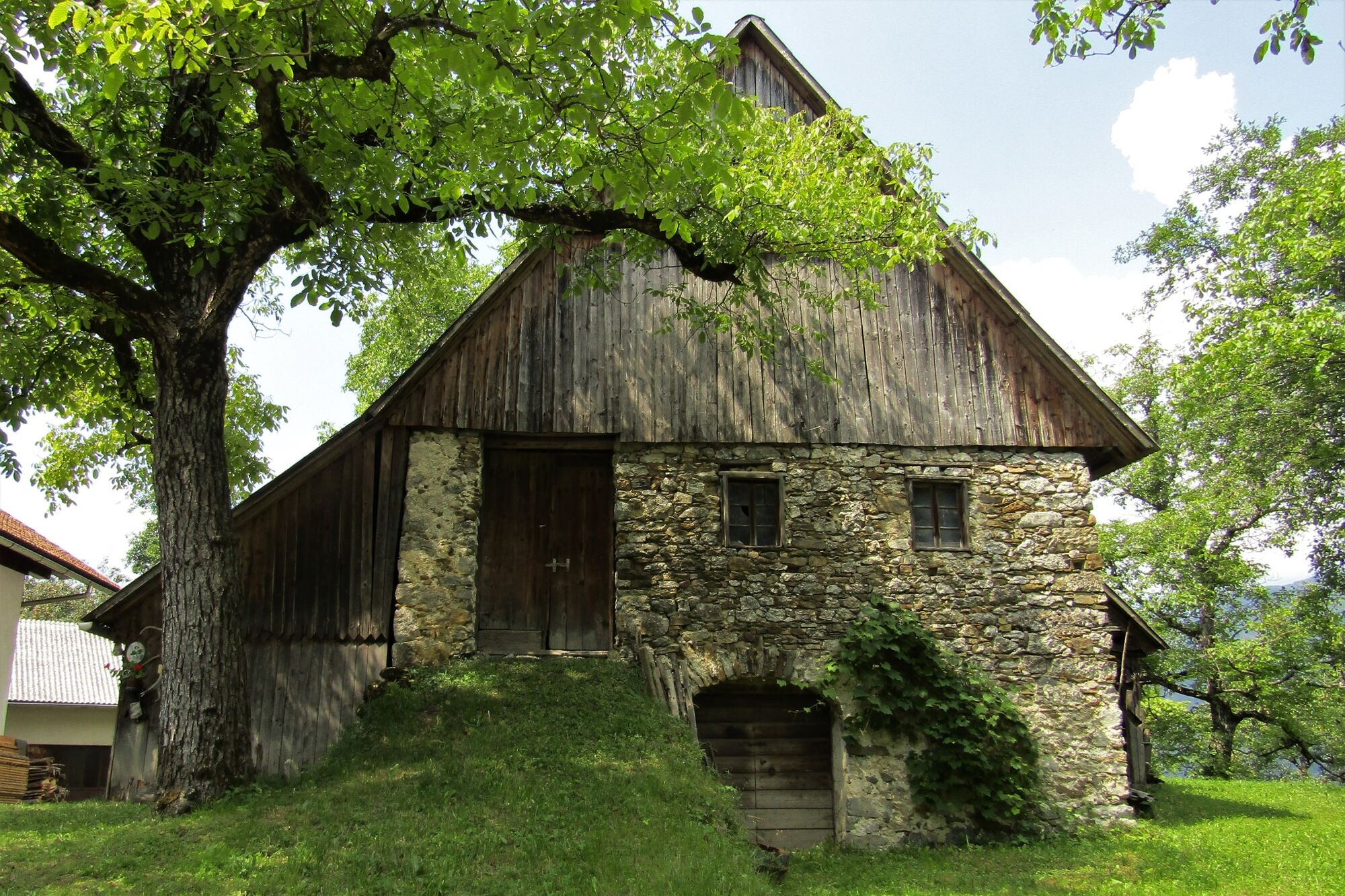
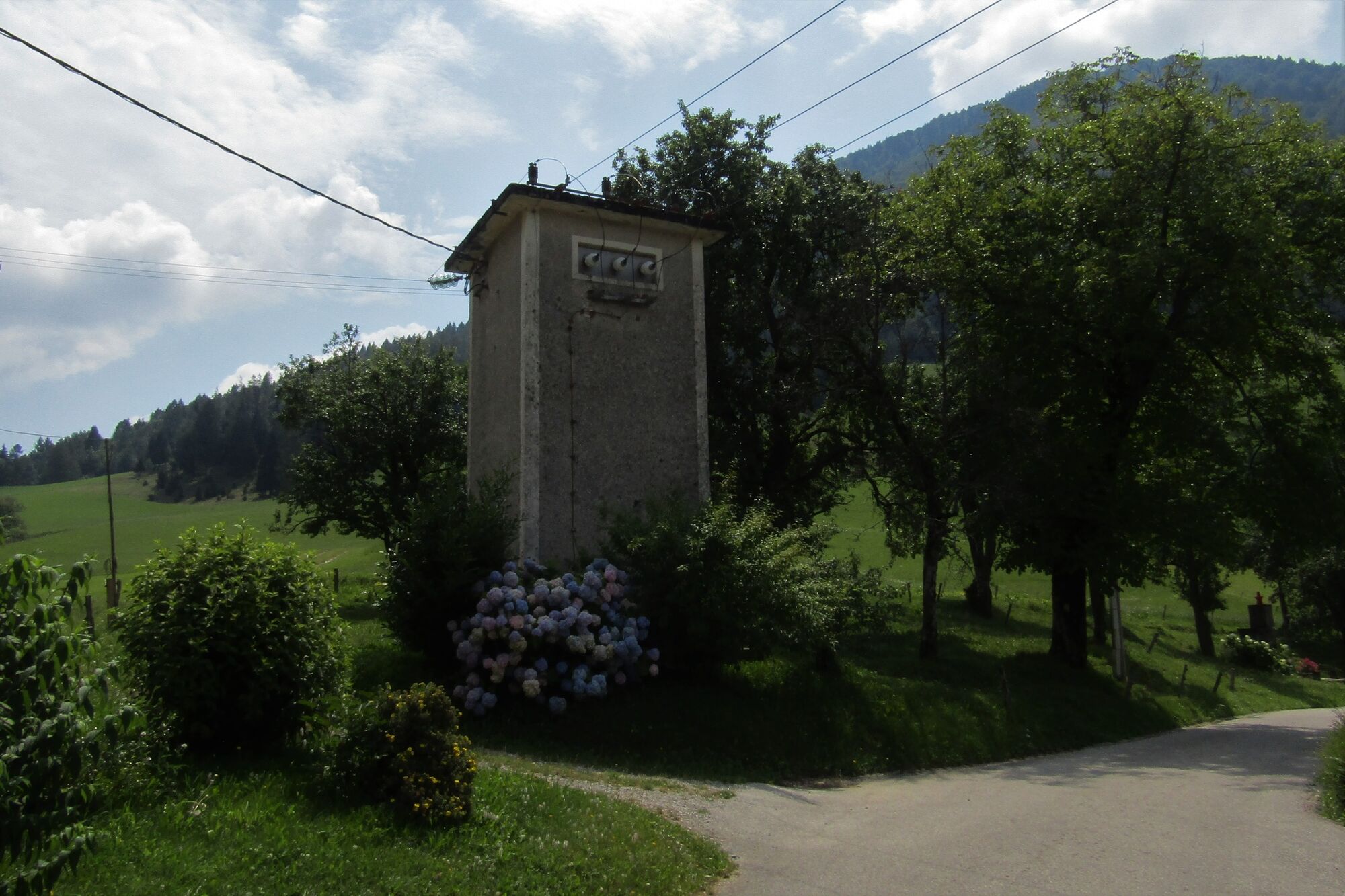
This cycling tour connects numerous villages and hamlets and takes you around the broad Mt. Kojca, which is less visited than its neighbour Mt. Porezen. Mt. Kojca rises 1,300 m above the valleys of rivers Bača and Idrijca. Secluded farms and steep slopes, which the locals describe as upright planes, give this landscape a special charm.
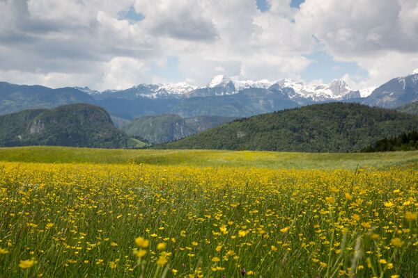
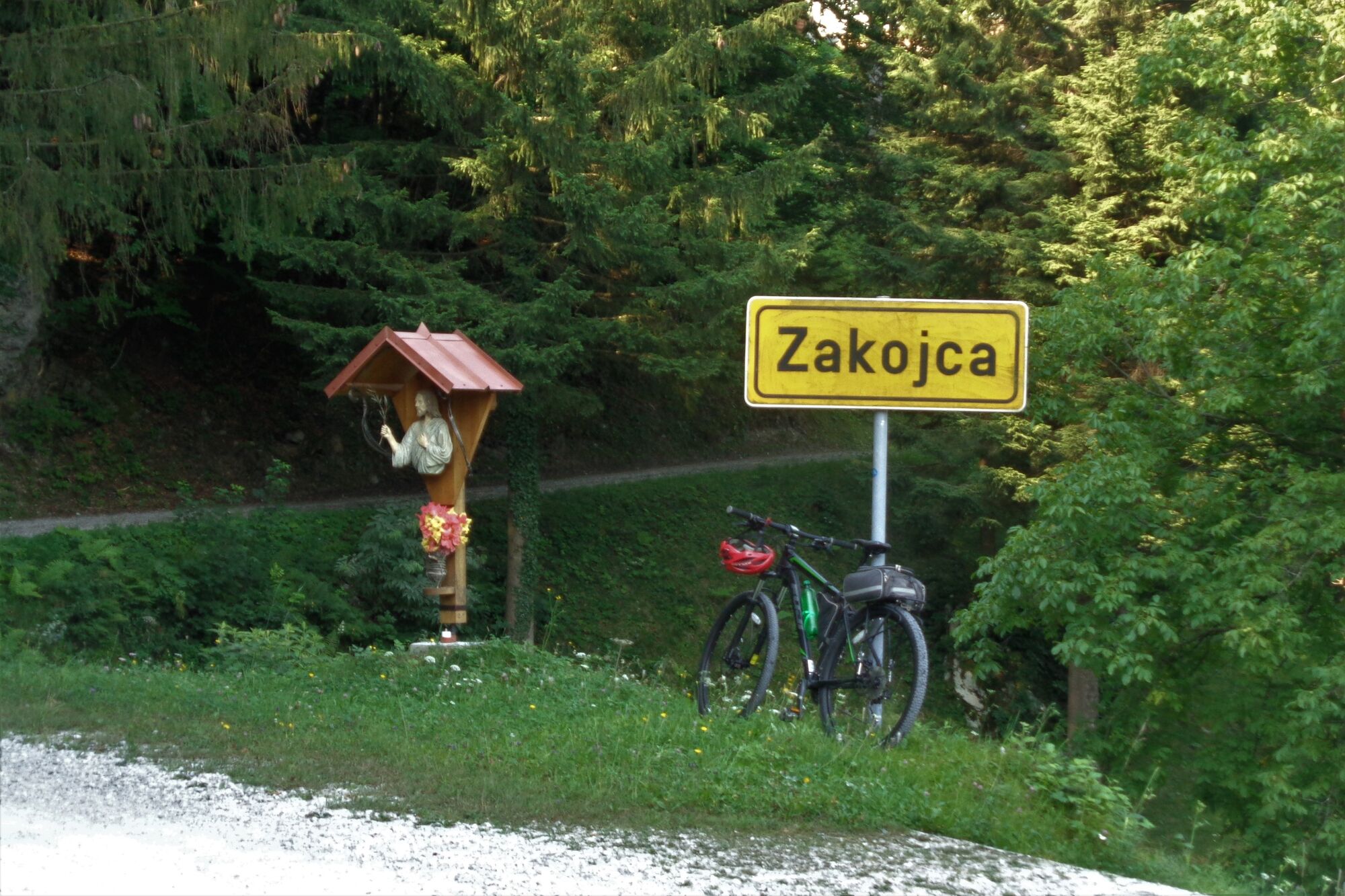
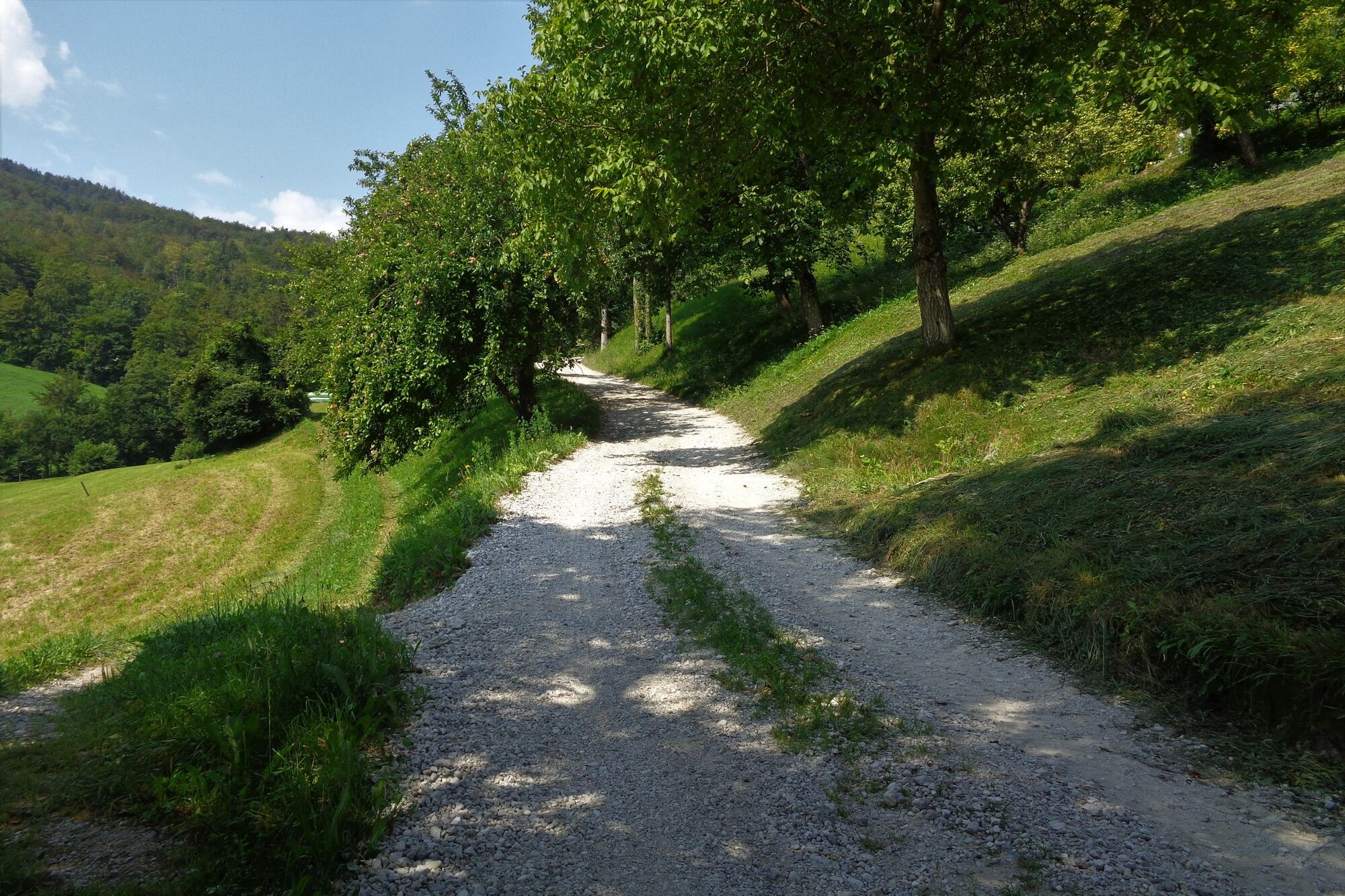
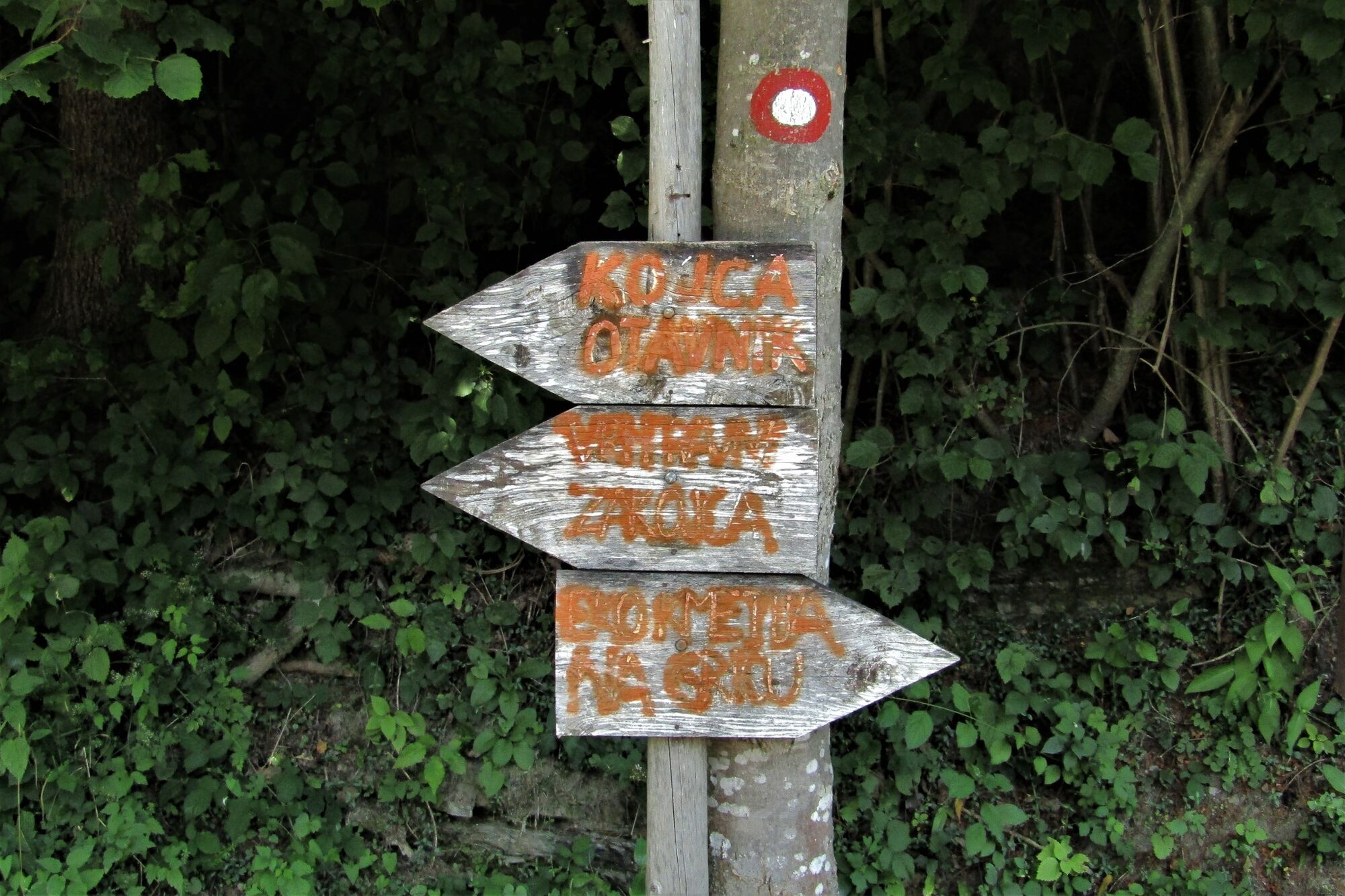
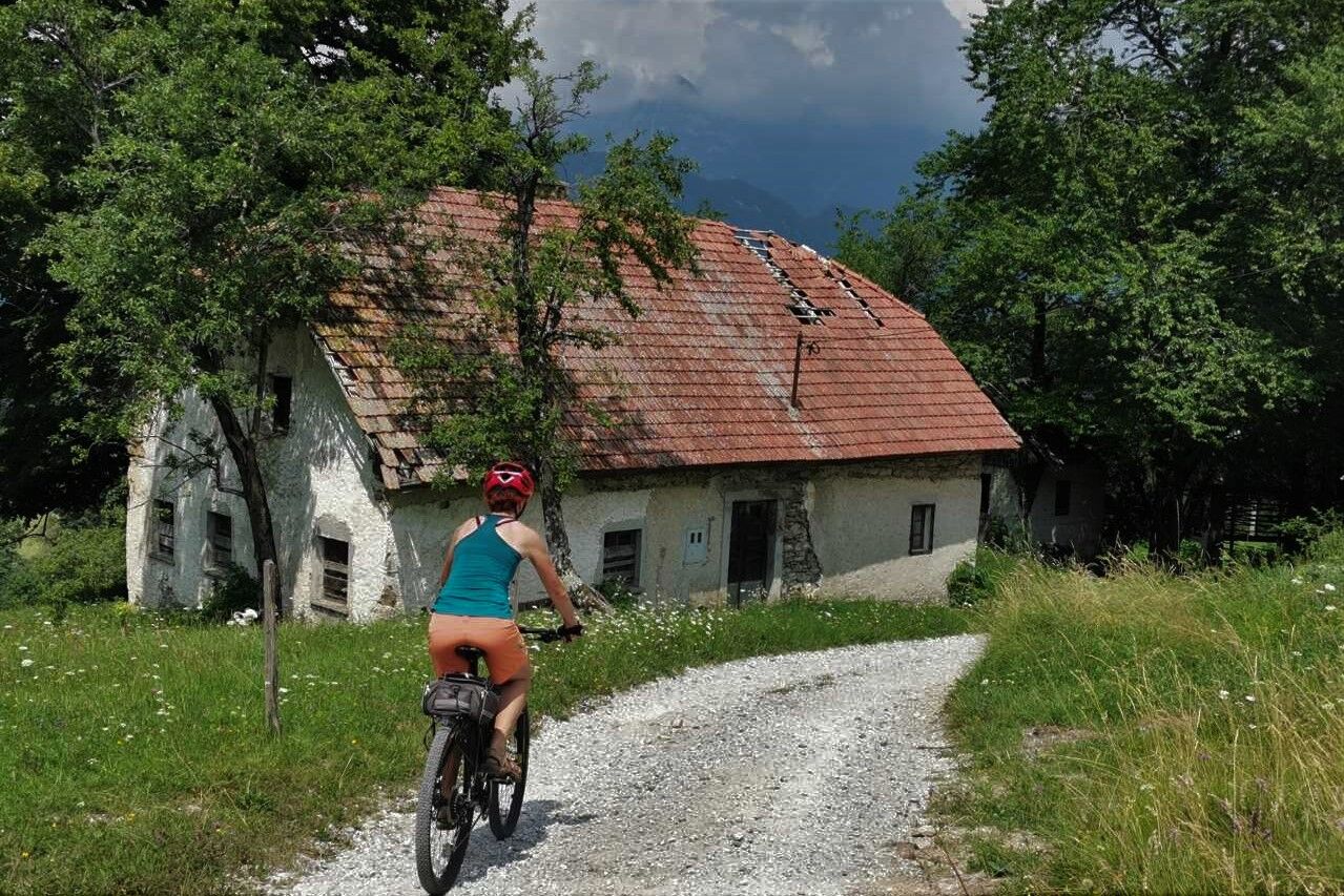
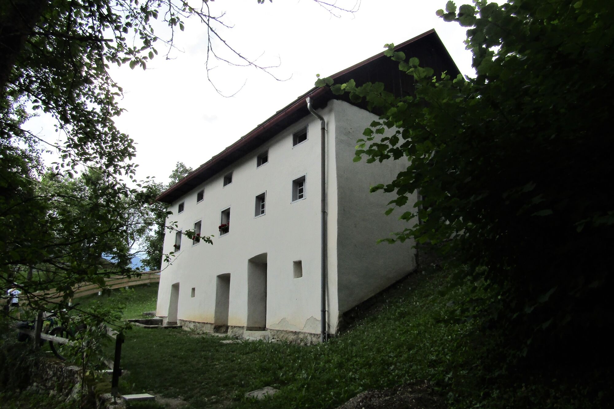
The tour starts in the village of Hudajužna and continues along the gravel road to the village of Zakojca where the Slovenian author France Bevk was born. From there, it continues along the paved road through beech forests towards the village of Bukovo. You will find it quite obvious where the village got its name from. The tour continues above the village of Orehek and descends through the village of Jesenica to the villages of Orehek and Zakriž. Along the trail you can admire the beautiful meadows that resemble genuine florist shops during the spring.
When you overcome the ascent to the Vrh Ravni Mountain pass, you will only have to descend back to Zakojca and to your starting point in Hudajužna.
- Directions
-
In the village of Hudajužna, start following the sign for the village of Zakojca. When you arrive to a long left bend after a 4-km-long gravel section, continue towards the village of Bukovo instead of Zakojca. When you reach the paved road, continue following the signs towards the villages of Jesenica, Zakriž and Gorje. At the end of Gorje, continue along the more or less ascending gravel road to the Vrh Ravni Moutain pass. From there, you will only have to descend along the gravel road to Zakojca and back to your starting point in Hudajužna.
- Highest point
- 822 m
- Endpoint
-
Zakojca
- Height profile
-
 © outdooractive.com
 - Equipment
-
Mountain bike or perhaps trekking bike with well-profiled tires.
- Safety instructions
-
The trail is entirely safe since it is routed along the more or less busy paved and gravel roads. Less experienced cyclists might find it somewhat difficult to descend from the mountain pass beneath Mt. Kojca to Zakojca since the trail is routed along a quite steep gravel section.
- Tips
-
You can also take this tour in the opposite direction, however, the steep gravel ascent from Zakojca to the Vrh Ravni Mountain pass is quite uncomfortable for the physically less prepared.
- Additional information
-
You can also start this tour in the town of Most na Soči, however, this will prolong the tour for approx. 15 km.
- Directions
-
It is the easiest to reach the starting point by train from the town of Most na Soči or the village of Bohinjska Bistrica. You can reach the starting point by car from the same directions.
- Public transportation
- Parking
-
Parking is available at a small parking lot just behind the bridge along the way from Hudajužna to Zakojca.


-

-
AuthorThe tour Cycling around Mt. Kojca is used by outdooractive.com provided.


General info
-
Cerkno
3