E-cycling to Mt. Joanaz (Ivanac) – the junction of three worlds


- Brief description
-
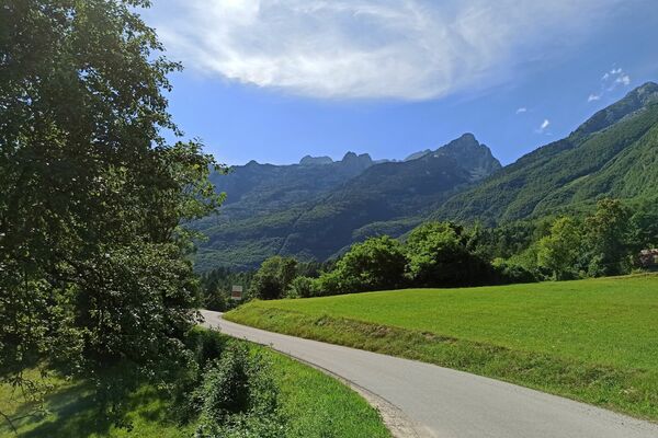
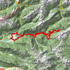
The tour to Mt. Joanaz (Ivanac), which is only a stone's throw away from the village of Robidišče, will reward you with splendid views of the three geographic worlds: Subalpine, Alpine and Mediterranean.
- Difficulty
-
difficult
- Rating
-
- Starting point
-
Robidišče
- Route
-
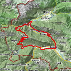
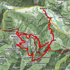
Eco Farm Robidišče0.1 kmFenchenberg0.1 kmAgriturismo Zaro2.0 kmMonte Ioànaz (1,169 m)11.7 kmAgriturismo Zaro19.3 kmEco Farm Robidišče21.4 kmFenchenberg21.5 km
- Best season
-
JanFebMarAprMayJunJulAugSepOctNovDec
- Description
-
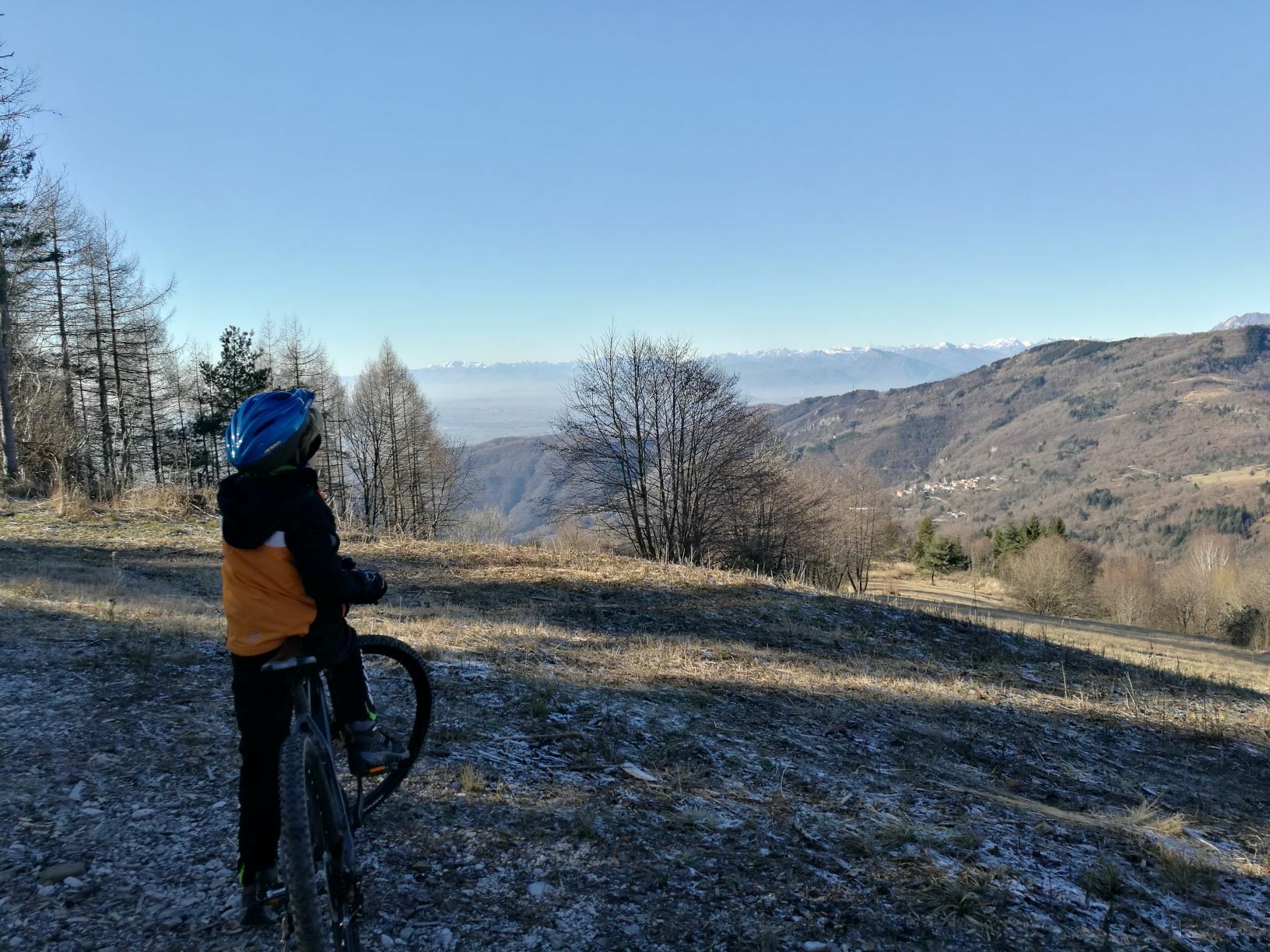
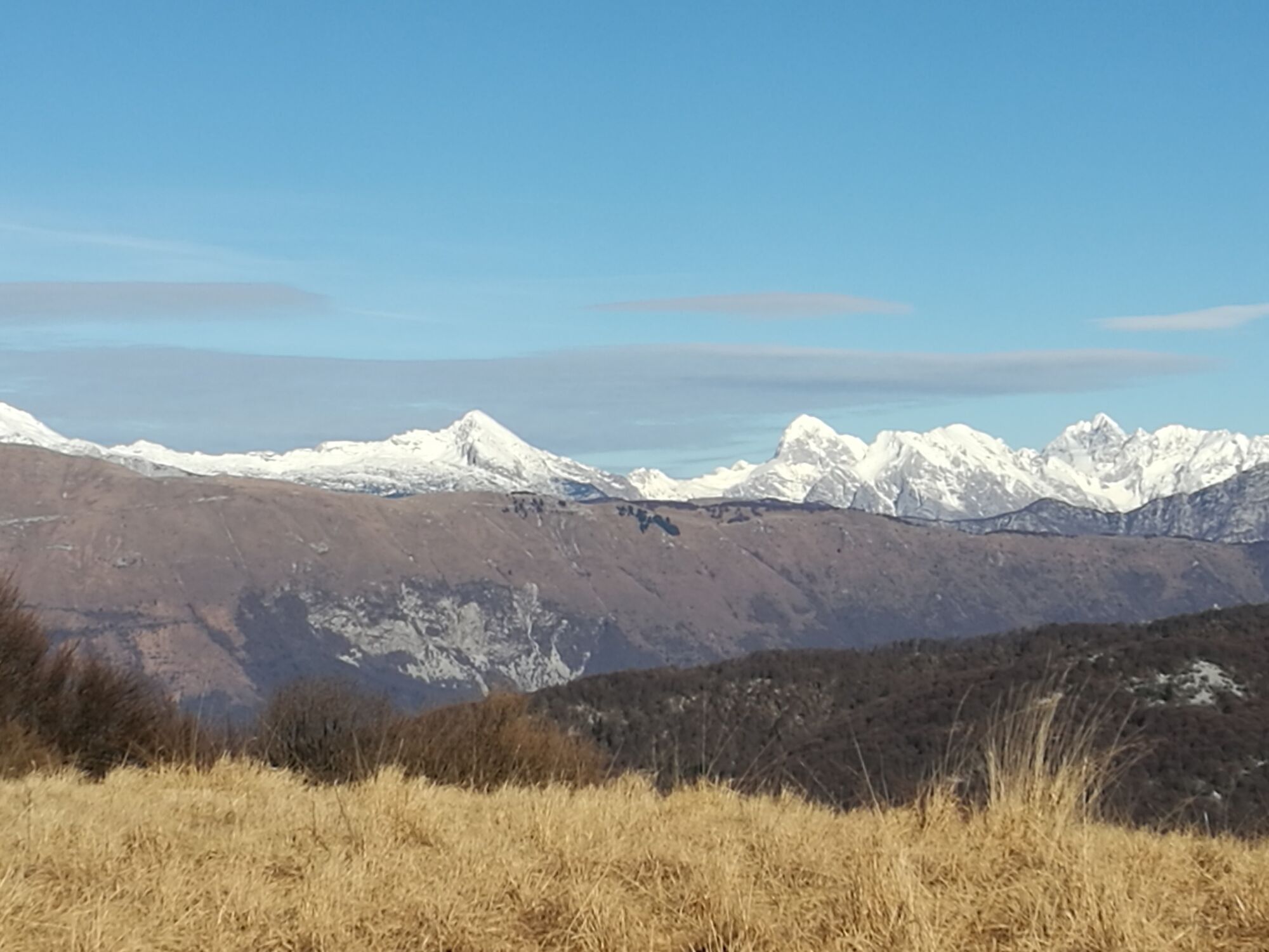
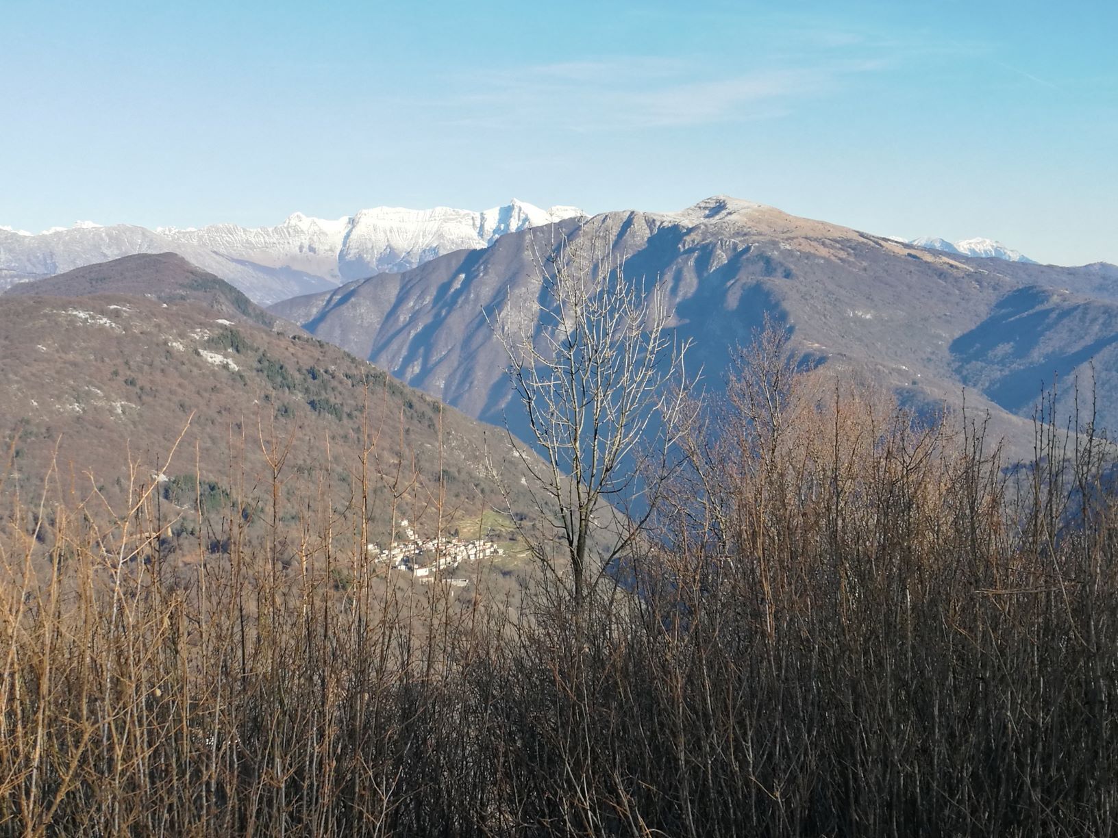
This tour is appropriate for somewhat robust e-bicycles because of a section routed along a somewhat less-worn gravel road. You will not meet many hikers along the trail. The number of hikers increases during weekends and holidays because Mt. Joanaz (Ivanac) represents a good alternative to Mt. Matajur and offers similar views, since we are talking about neighbouring mountains. We advise you to make this tour when the weather is fine; if possible after rainfall because you will be able to see all the way to the Adriatic Sea and Mt. Triglav in the opposite direction. You will also be able to enjoy in views of the secluded villages in the Venetian Slovenia located at the foothills of Mt. Matajur and in the valley of the Nadiža River. The top of Mt. Joanaz (Ivanac) is somewhat hidden and overgrown. It is located just a few steps away from the open rising which offers the finest views. Once on the top, you will be able to see the villages of Robidišče and Prossenicco (Prosnid). Because there is no mountain hut or drinking water on the top, we advise you to bring a sufficient supply of water and refreshments.
- Directions
-
The first five kilometres of the trail are routed across a plateau terrain and along a solid paved road with many short but steep ascents. From the fifth kilometre onwards, you will gently ascend along the foothills of a rising to the turn where a gravel cart track starts. Occasionally, you will find large boulders at this section, which is why we advise you to pay attention and use somewhat robust tyres. You reach the top after 12 kilometres. Because of the difficult access, we advise you to overcome the last 100 metres on foot (where the forest starts). Later, you will descent along a robust cart track all the way to the 17th kilometre where you will join the paved road again. This road will take you past the secluded houses all the way to the Zaro farm where you will be able to say farewell to the deer and turn back to the road towards the village of Robidišče.
- Highest point
- 1,151 m
- Endpoint
-
Mt. Joanaz (Ivanac)
- Height profile
-
 © outdooractive.com
 - Equipment
-
Somewhat robust mountain bike or e-bicycle.
- Safety instructions
-
The descent is partly routed along a bumpy and rocky gravel road, which is why caution is required.
- Tips
-
You should make this tour after rainfall or when the weather is really clear in order to enjoy in marvellous views. There are no mountain huts in the vicinity, so make sure to bring a sufficient supply of water and refreshments.
Hikers should use the starting point next to the San Antonio chapel.
- Additional information
-
Clear weather, camera, map to recognize the summits, towns and villages.
- Directions
-
We advise you to start this tour in the village of Robidišče or at the foothills of the mountain (San Antonio).
- Public transportation
-
There is no public transportation available.
- Parking
-
Robidišče or San Antonio.


- Author
-
The tour E-cycling to Mt. Joanaz (Ivanac) – the junction of three worlds is used by outdooractive.com provided.