- Brief description
-
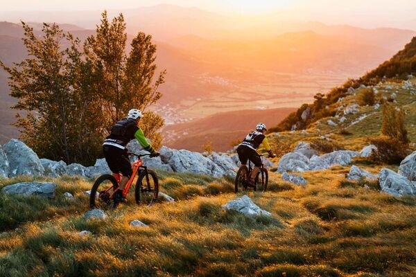
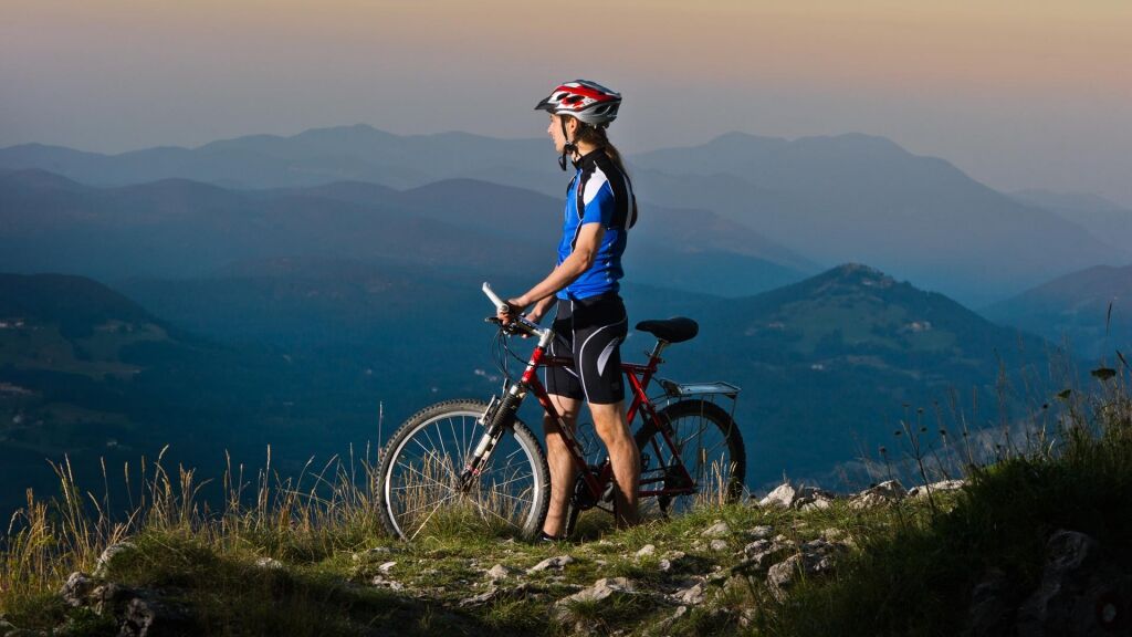
The Trnovo Forest is crisscrossed with well-maintained trails that are perfect for cycling through on those summer days when it’s too hot in the valley. Stopping by one of the mountain huts and visiting the large ice cave in Paradana will turn your simple bike trip into an unforgettable experience.
- Difficulty
-
medium
- Rating
-
- Starting point
-
The parking lot in the village of Predmeja
- Route
-
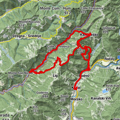
Mala lazna19.3 km
- Best season
-
JanFebMarAprMayJunJulAugSepOctNovDec
- Description
-
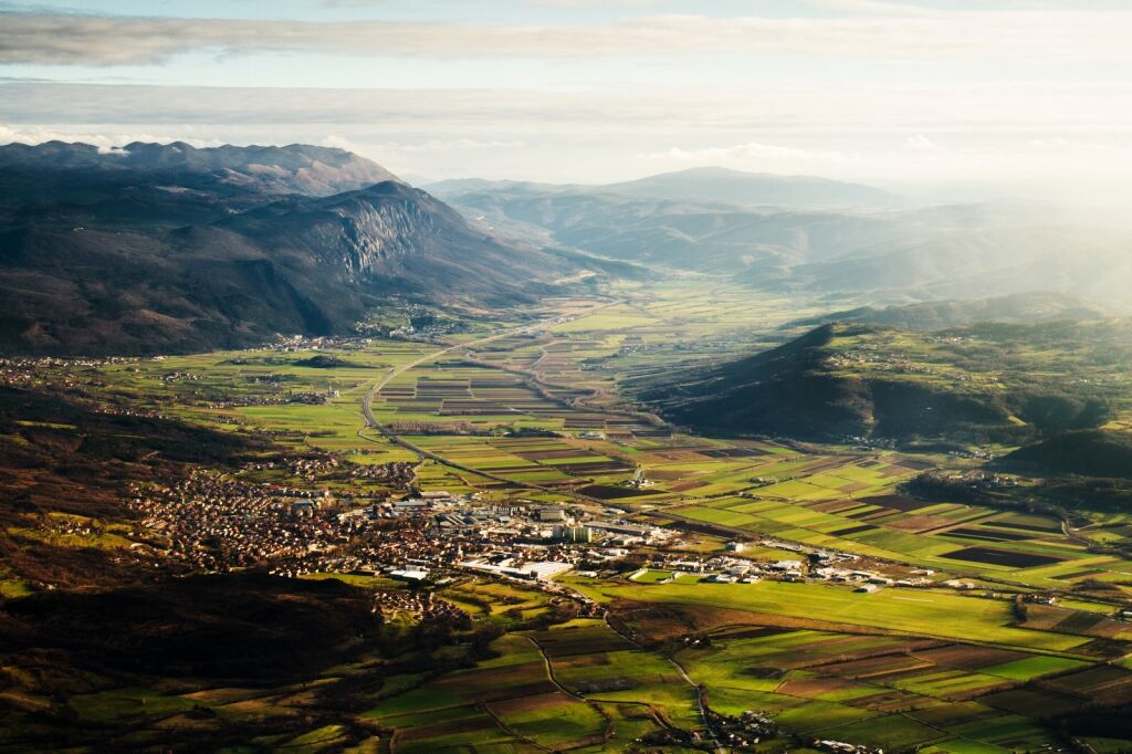
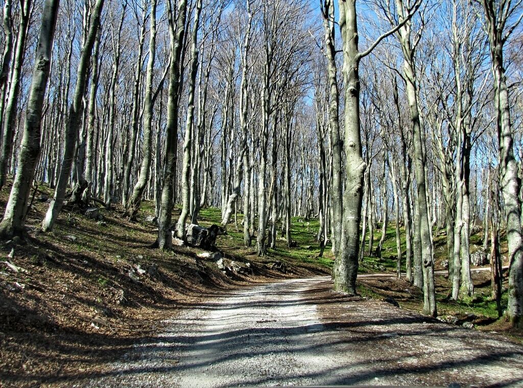
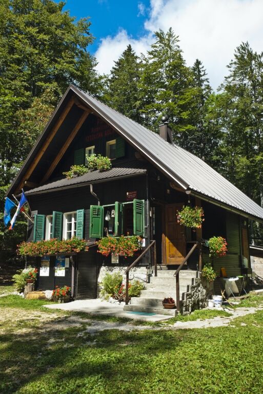
The trail will take you towards Lokve, and signs at intersections will guide you there. You will start climbing in the shade of the Trnovo Forest Plateau, following the signs for Čaven, which will take you from the Predmeja–Lokve main road to the left. A little bit before the Anton Bavčer mountain hut you will get your first glimpse of the beautiful upper Vipava Valley. The trail splits after the hut, and you’ll want to bear left. Follow along the trail for 6 km through the woods, and then turn right toward Mala Lazna, a large clearing in the middle of the Trnovo Forest. Stay to the right, where you’ll see signs for Padana and the ice cave. When you get to the turnoff for Padana, step off your bike and enter the cave on foot. While you’re walking towards the entrance, make sure to notice how the temperature slowly drops due to the heat inversion. Even during the summer it’s just a few degrees above 0. A short climb follows the turnoff for the ice cave, leading up to an intersection, which you will take to the right. Here you’ll start the descent down towards Predmeja. End your trip by following the signs for Predmeja at the large parking lot at the Iztokova koča mountain hut below Golaki.
- Highest point
- 1,257 m
- Endpoint
-
The parking lot in the village of Predmeja
- Height profile
-
 © outdooractive.com
- Author
-
The tour The Trnovo Forest is used by outdooractive.com provided.


General info
-
Vipava Tal
16
-
Ajdovščina
5