
- Brief description
-
Nemški Rovt and Ravne villages rise above Bohinjska Bistrica and offer magnificent views of the Bohinj Valley and the surrounding mountains.
- Difficulty
-
easy
- Rating
-
- Starting point
-
TIC Bohinj, Bohinjska Bistrica
- Route
-
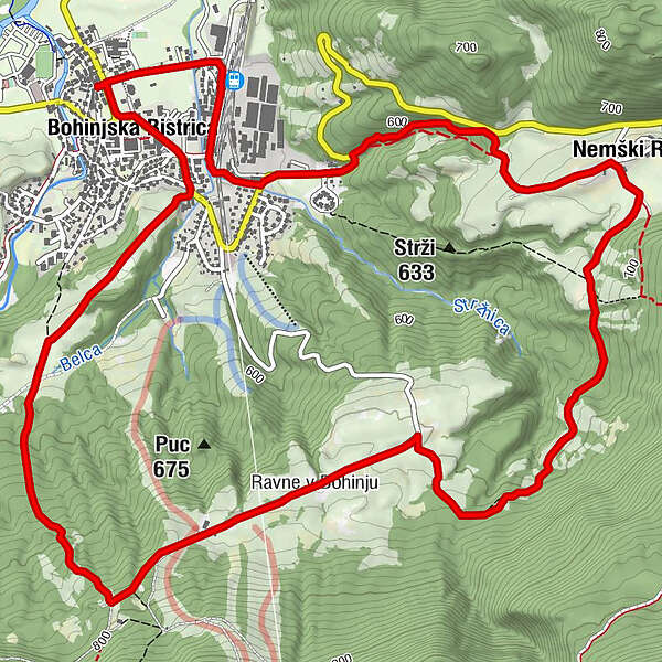
Wochein Feistritz0.1 kmNemški Rovt2.9 kmRavne v Bohinju5.6 kmHotel, restavracija, picerija Tripič***8.9 kmWochein Feistritz9.0 km
- Best season
-
JanFebMarAprMayJunJulAugSepOctNovDec
- Description
-
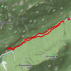
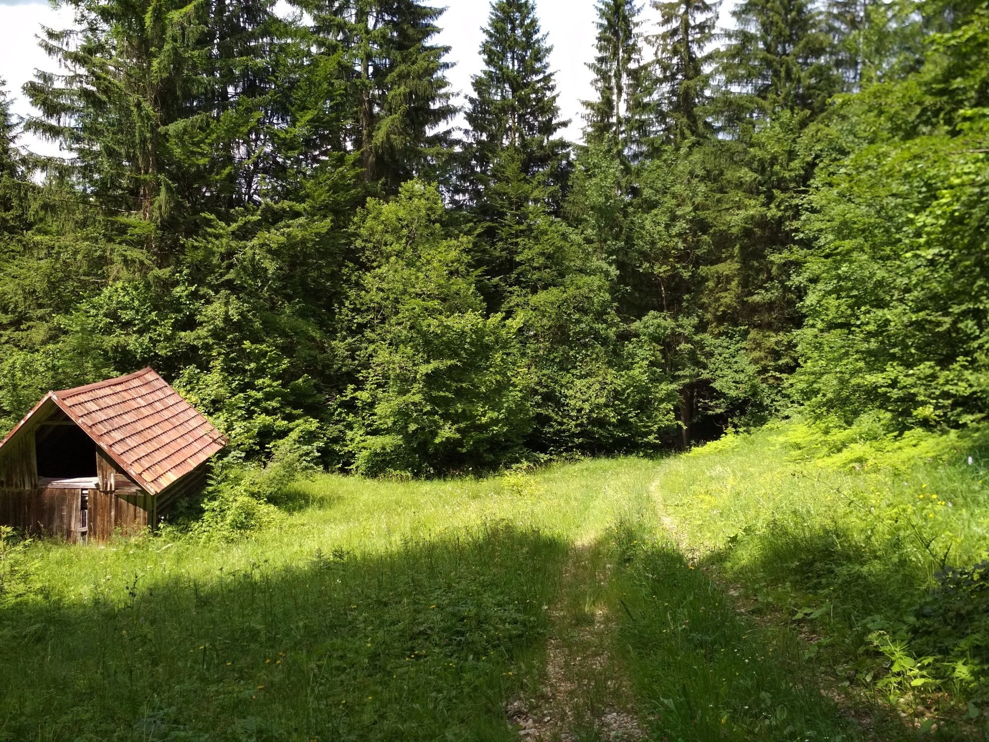
The trail runs partially on asphalt roads and forest roads as well as along a mountaineering path. The ascent to Nemški Rovt is not difficult and appropriate for people of all generations.
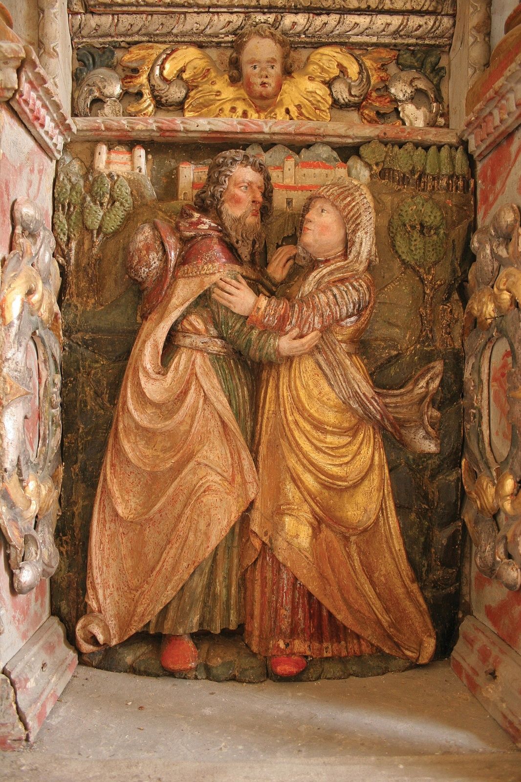
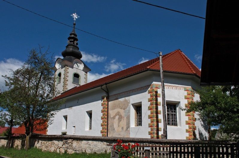
Nemški Rovt is a clustered village with houses along the main village road in the direction east-west. The first people probably came from east Tyrol. The main part of the village features the Church of St Ahac, which was built in 1492. The church features the relief of the meeting between Joachim and Anna, or as the local people call her, St Hema. View the well-groomed pond with an info board at the edge of the village and continue along the meadows and through the forest to Ravne. One of the most beautiful views of the Triglav mountain range can be enjoyed from Ravne. The village is famous for four preserved granaries (Pavlova, Cjanova, Rožmanova and Pongrčeva kašča). Abandoned ski lifts are a pale reminder of the former popular Kobla ski centre. Walk downhill to Bohinjska Bistrica along a mountaineering path that runs to Črna prst.
- Directions
-
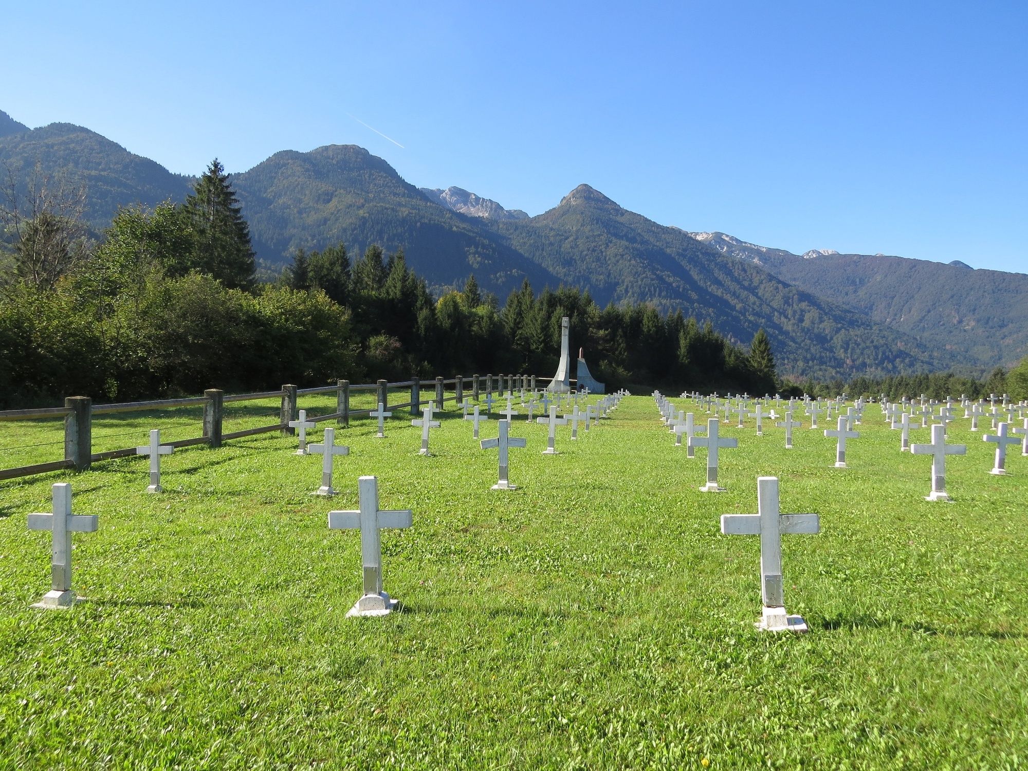
Start at the TIC, cross the main road and continue past the Church of St Nicholas to the Bohinjska Bistrica railway station. Ho downhill to the bridge across Belca. Do not cross the bridge but go straight on to the railway track underpass. This path leads you through a tunnel under the railway. Continue along the LIP Bohinj factory, turn to the main road and ascend to the juncture. Above the brook, ascend to pastures below the village where you can observe a beautiful view of the Lower Bohinj Valley. In the small, pleasant village where you stop at the Church of St Ahac, you can refresh yourselves at the village manger or visit the local inn. In the west part of the village, signposts will direct you to the right towards Ravne. Continue the hike past numerous meadows across the marsh area called Mlake. Cross a small brook and continue past numerous abandoned meadows where you arrive at the village of Ravne. Where the asphalt road ends, continue along the forest path and after 500 metres you arrive at the sign that marks the hiking trail from Bohinjska Bistrica to Črna prst. Descend along the alpine trail to the panoramic hill Rebro, where you can see the military cemetery commemorating the soldiers that were killed during World War I. The cemetery has 285 marked graves where the soldiers who died in Bistrica's two hospitals are buried. The cemetery was used from May 1915 until the end of 1917. Continue to hike to Bohinjska Bistrica, past Ceconi's Park and to the starting point.
- Highest point
- 786 m
- Endpoint
-
TIC Bohinj, Bohinjska Bistrica
- Height profile
-
 © outdooractive.com
 - Equipment
-
Hiking shoes and clothes.
- Safety instructions
-
A part of the trail runs on the local road, so caution is necessary.
- Tips
-
Don’t forget to bring your camera!
- Additional information
-
Turizem Bohinj, Stara Fužina, tel.: +386 4 57 47 590
TIC Bohinj, Ribčev Laz, tel.: +386 4 574 60 10
TIC Bohinj, Bohinjska Bistrica, tel.: +386 4 574 76 00
TIC Bohinj, Stara Fužina, tel.: +386 4 572 33 26
TNP Bohinj Centre, Stara Fužina, tel.: +386 1 200 97 60
Julian Alps:Bohinj Card offers free transport and other benefits.
Wine and dine at Resje Inn in Nemški Rovt or at Bohinj ECO Hotel Restaurant, Tripič Pizzeria and Restaurant, Danica Inn, Štrudl Inn and Sunrose 7 - Heritage Boutique Hotel in Bohinjska Bistrica, where you can also try dishes with the Bohinjsko/From Bohinj certificate.
- Directions
-
-
Drive by car to Bohinjska Bistrica from Bled, through Soteska or over Pokljuka. You can also access the village from Tolmin and Železniki over Soriška planina.
-
- Public transportation
- Parking
-
You can park at the car park P13 Bohinjska Bistrica-Danica that is near the trailhead (coordinates: 46.273515, 13.948998) or P23 Bohinjska Bistrica-Kobla (coordinates: 46.268020, 13.958690)
- Author
-
The tour Walking from Bohinjska Bistrica to Nemški Rovt and Ravne is used by outdooractive.com provided.