From Ski Hotel on Vogel to Rodica, back to Suha pasture and Ribčev Laz


- Brief description
-
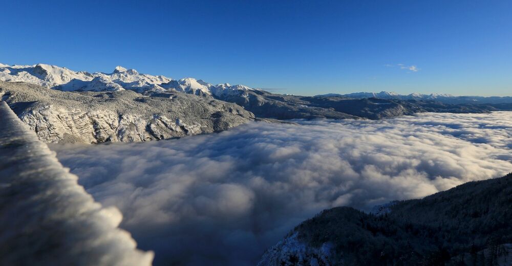
The trail leads you from Vogel Ski Centre south-east to the ridge of South Bohinj Range and the panoramic Rodica mountain that offers exceptional views of Bohinj, the main part of the Julian Alps and Triglav as well as the deeply carved Tolmin valleys. You can also see the Primorska and Friuli regions. Along the way, you can also visit the Suha pasture, where cattle graze in summer. From Suha, you can hike downhill to the valley and Ribčev Laz.
- Difficulty
-
medium
- Rating
-
- Starting point
-
Lower station of Vogel cable car
- Route
-
ViharnikRjava skala (1,570 m)0.0 kmPizzeria Burja0.1 kmOrlove glave (1,682 m)1.7 kmVisoki Orlov rob (1,800 m)3.1 kmČez Suho Saddle4.5 kmČez Suho (1,771 m)4.5 kmRodica (1,963 m)6.6 kmČez Suho (1,771 m)8.5 kmPlanina Suha10.0 kmFischgereuth15.5 km
- Best season
-
JanFebMarAprMayJunJulAugSepOctNovDec
- Description
-
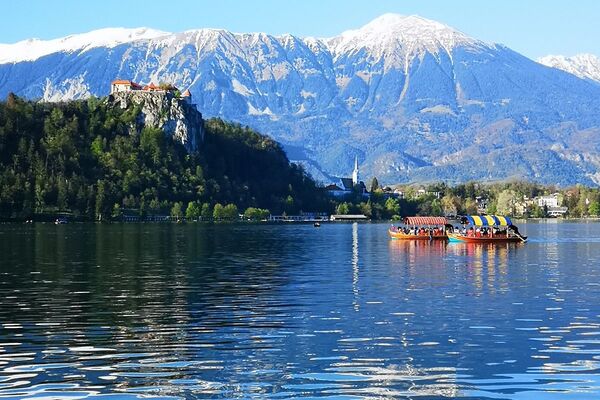
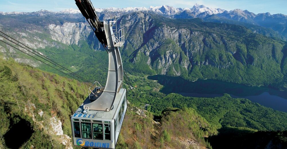
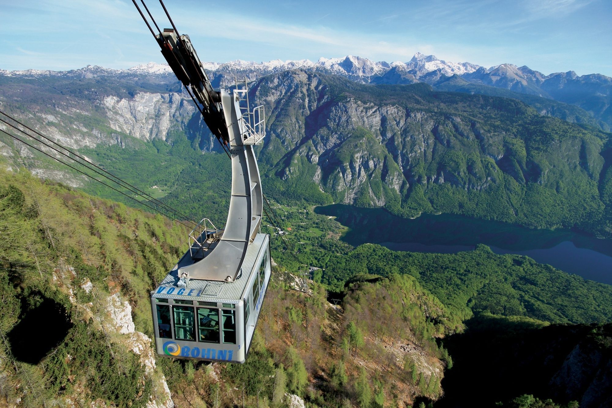
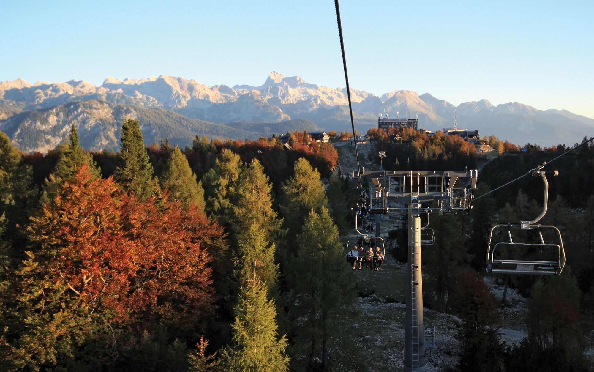
South above Lake Bohinj, Vogel Ski Centre is located on a high mountain plateau, which is quite an exceptional trailhead for many hiking tours, especially in spring and summer. Vogel is probably the most beautiful panoramic point to view Triglav from the south and also of the entire Bohinj. The cable car, operating all year-round, spares us about a 2-hour ascent to Vogel. Many inns and Merjasec mountain hut are open on Vogel
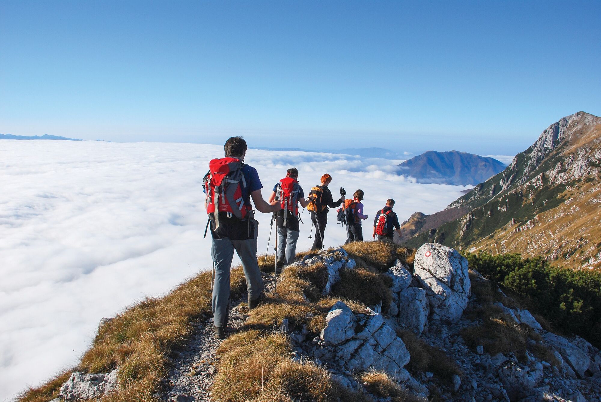
Rodica is the highest peak of the South Bohinj Range east of Vogel. The peak and ridge trail are quite popular due to the exceptional views and quite a simple hike. Rodica is also a very popular ski touring destination.
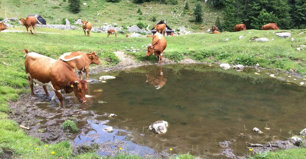
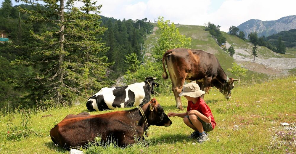
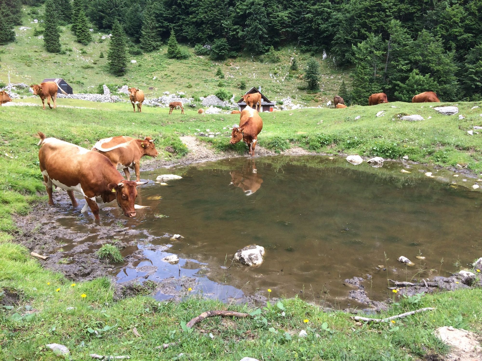
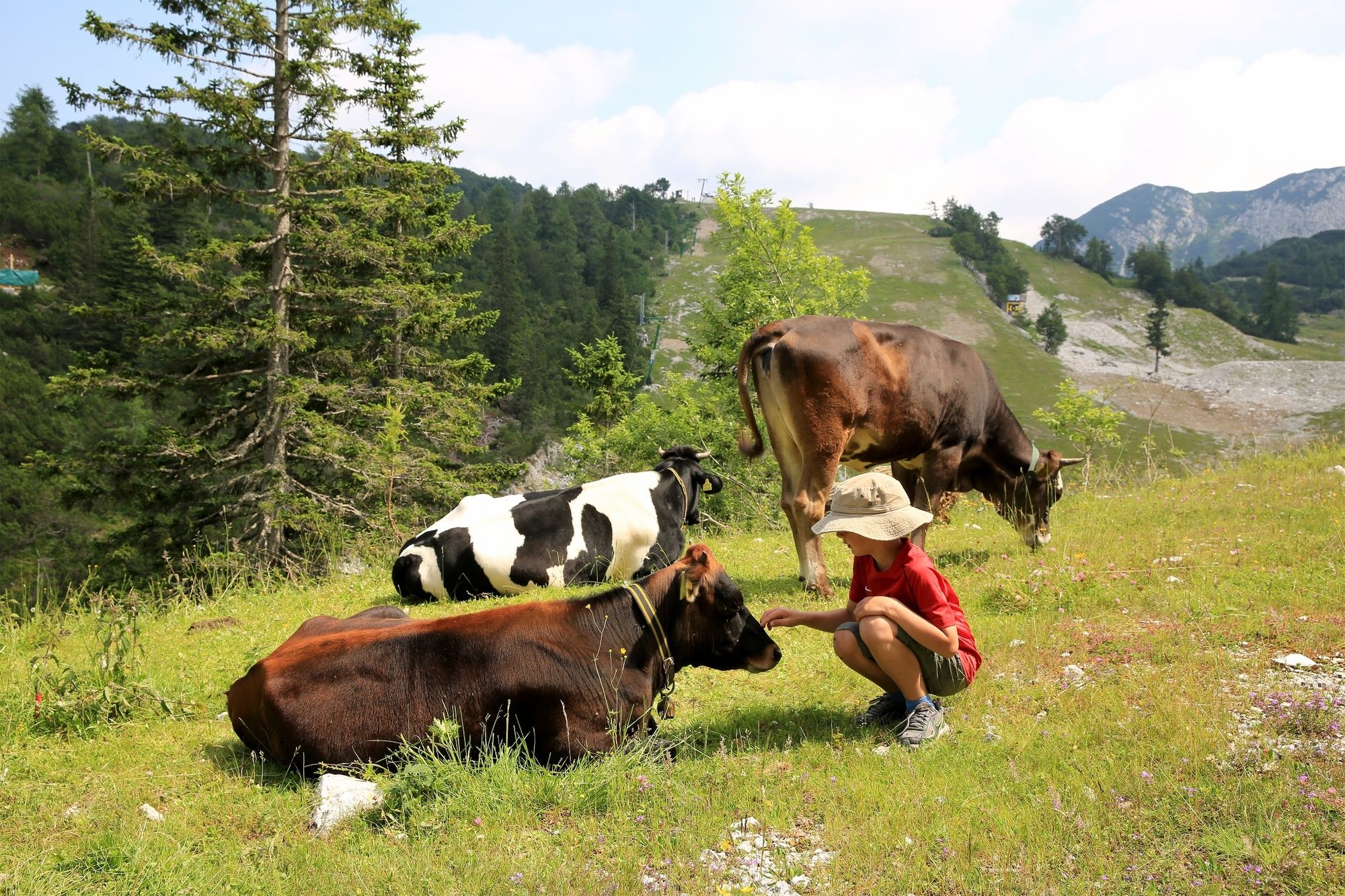
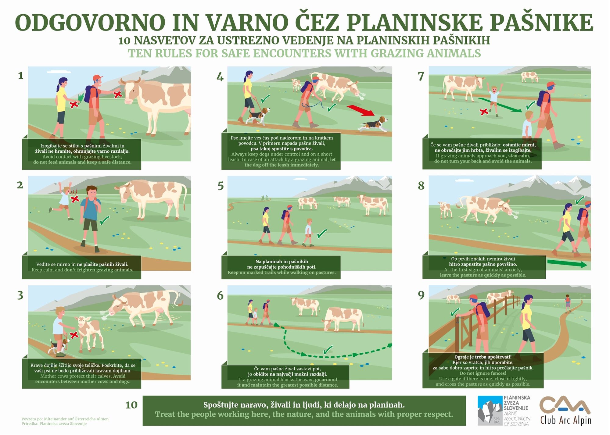
Suha pasture is a medium large pasture located between the peaks of Vrh Okroglice, Špik, Mala Rodica, Debeli vrh and Zavitar. On the pasture, where cattle still graze in summer, you can still see some shepherd lodges. One of them also has drinking water, but is only open in summer months.
- Directions
-
When exiting the upper cable car station, go right towards Merjasec mountain hut. It is only 100 metres away. Turn onto the path in the direction of Vogel, Šija and Rodica. The path starts descending along the ski slope and brings you to a pass, where the trail curves to the right for Ukanc (Zlatorog). Continue to the left along the poorly-groomed path (ski slope), with no signsposts. The cart track starts ascending and curves to the right. You soon reach an intersection, but the left steep path and right flat path merge quite soon. You will see a cross on the right side, where the path flattens and brings you to an intersection on a small plateau. Go straight on towards Šija and slightly uphill along a transport and rescue trail. Follow the signposts for Vogel and Šija and curve to the right onto a walking path that will bring you to the spot where you can cross the ski slope. There is also an intersection there, where you can continue to the left (one of the paths go to Vogel to the right) along the route, which will bring you along and below the ski lift to the peak of ski slopes (Visoki Orlov rob).
The trail goes dowhill and then uphill to the intersection below the peak of Šija. Continue to the left (Šija is ahead and Vogel on the right) along the descending route. The trail crosses a short scree and continues to a dwarf pine section and brings you to a demanding passage. It then climbs steeply and crosses an exposed rock gorge. Continue along a panoramic ridge and after a few minutes walk, you reach the Čez Suha pass, where it reconnects with the path from Suha pasture from the left. Continue straight on along the trail that goes uphill and then downhill. This panoramic path takes you below the peak of Rodica, where you have two options to continue. You can continue to the right along a marked trail or hike to the left and reach the top on an unmarked trail. If you continue climbing along the marked trail, your trail connects with the path from Rut that comes from the right side. Continue towards Rodica and along the peak ridge of Rodice. You will reach the peak after a 10-minute walk.
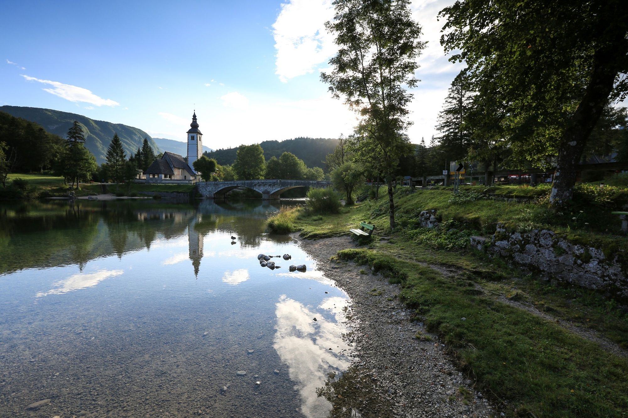
Descend on the same way to the Čez Suha pass, where you have to turn right downhill and to the north and descend steeply along the path to Suha. Hike to the pasture. The path on the pasture is not visible. Follow the lower part of the pasture and then to the left along a path through a beech forest, where you will reach a steep section where the path curves to the right and then in two sections goes to the valley that brings you to a small car park on the forest road. Continue descending along the left fork of the forest road. The marked road then curves to the right and runs along the valley of Suha torrent which is mainly dry. The path crosses the forest road three times and descends to Ribčev Laz, where it is partly a forest skidding trail and cart track that takes you to the asphalt road and the former Bellevue Hotel. Continue downhill to the right to Ribčev Laz or Lake Bohinj, where there is a bus stop.
Arrive at the trailhead on the walking path along the road on the south side of Lake Bohinj or by bus to Ukanc intersection station. (www.hribi.net, www.vogel.si)
- Highest point
- 1,930 m
- Endpoint
-
Ribčev Laz (546 m)
- Height profile
-
 © outdooractive.com
 - Equipment
-
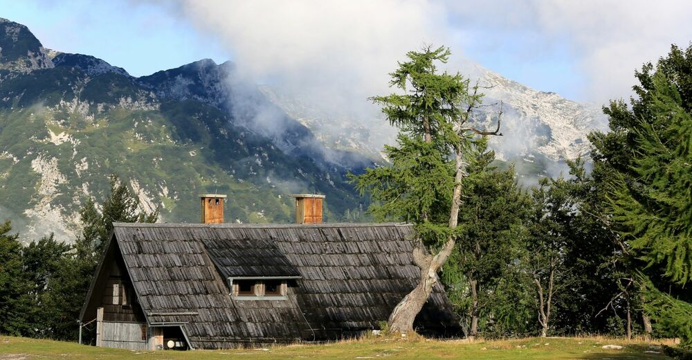
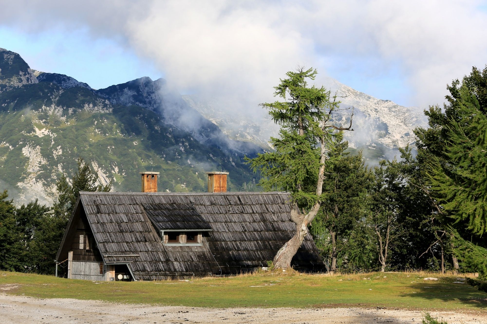
We recommend hiking shoes and clothes as well as enough water. There are inns and Merjasec mountain hut at the trailhead; there are no mountain huts along the trail.
- Safety instructions
-
There can be fallen trees in some parts of the trail due damage caused by strong winds. There is no drinking water and no mountain huts along the trail to Suha pasture.
- Tips
-
Prior to every hike, check the weather forecast and trail conditions.
- Additional information
-
Information:
Turizem Bohinj, Stara Fužina, tel.: +386 4 57 47 590
TIC Bohinj, Ribčev Laz, tel.: +386 4 574 60 10
TIC Bohinj, Bohinjska Bistrica, tel.: +386 4 574 76 00
TIC Bohinj, Stara Fužina, tel.: +386 4 572 33 26
TNP Bohinj Centre, Stara Fužina, tel.: +386 1 200 97 60
Julian Alps Card: Bohinj offers free transport and other benefits.
Freshen up at Planinska koča Merjasec mountain hut, where you can also enjoy culinary delicacies awarded with the Bohinjsko/From Bohinj certificate. The certificate guarantees the geographical origin of products.
- Directions
-
Drive by car to Ukanc from Bled, through Soteska or over Pokljuka. You can also access the village across Jelovica and Soriška planina.
- Public transportation
-
You can travel by train or bus to Bohinj. From the Primorska side, you can also come by car train.
Regular buses drive from Ukanc to Bohinjska Bistrica, Bled and Ljubljana, in summer also to the Upper Bohinj Valley and the Savica Waterfall. The bus station is 400 metres from the starting point.
More information is available on the website promet.bohinj.si
- Parking
-
Car park at the Vogel cable car station in the valley (coordinates: 46.275914, 13.836251) or car park Ukanc 6-intersection (coordinates: 46.278015, 13.836743).
- Author
-
The tour From Ski Hotel on Vogel to Rodica, back to Suha pasture and Ribčev Laz is used by outdooractive.com provided.