
- Brief description
- Difficulty
-
medium
- Rating
-
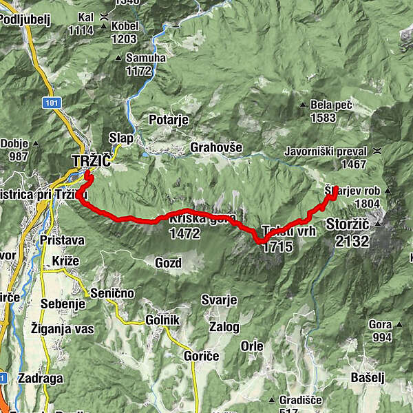
- Starting point
-
Tržič
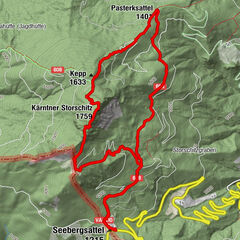
- Route
-
Restavracija RajNeumarktlSveti Jožef0.3 kmMala Mizica (766 m)1.1 kmVelika Mizica (976 m)1.5 kmKriška gora (1,472 m)3.6 kmKoča na Kriški gori3.7 kmPrekova klopca4.4 kmVrh Vrata (1,591 m)4.5 kmJircek (1,662 m)5.8 kmTolsti vrh (1,715 m)6.3 kmPlanina Mala Poljana7.4 kmPlanina Jesenje9.7 km
- Best season
-
JanFebMarAprMayJunJulAugSepOctNovDec
- Description
-
Climbing up from Tržiška Bistrica, the first peak of the Kamnik-Savinja Alps is Kriška gora (1,471 m), from where there is a good view of the Ljubljana basin, the most densely populated part of Slovenia with a population of over 400,000.
Heading forward, the slopes reveal a process that is characteristic to much of the Slovene Alps: forest overgrowth and the consequent rise of the forest line, namely, the altitude to which forest cover extends.
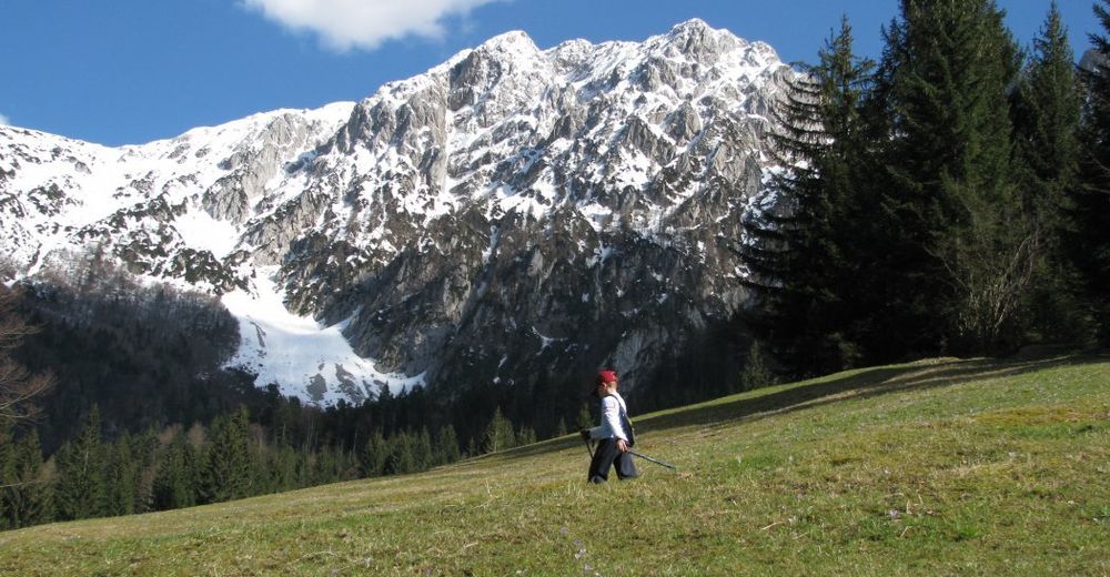
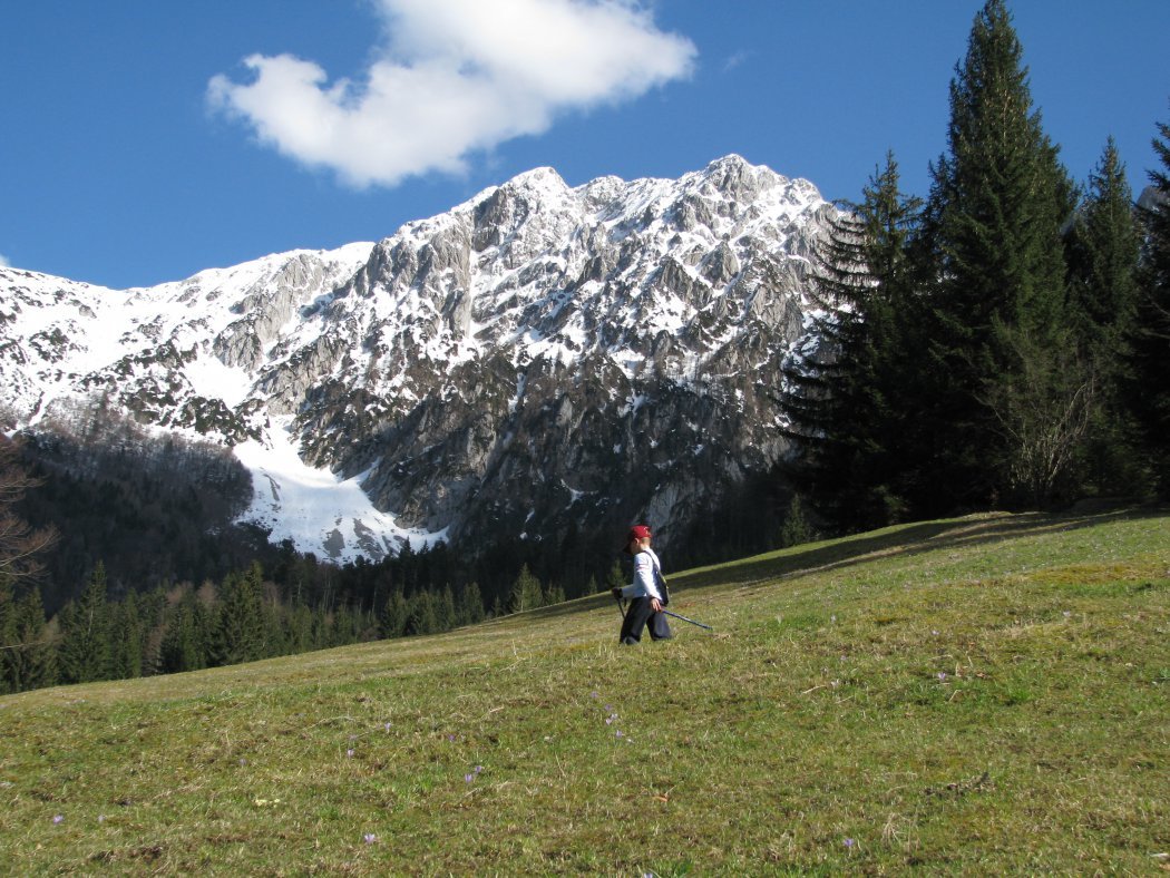
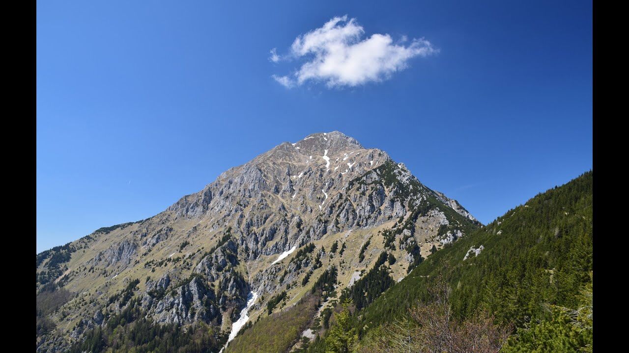
Soon you will come to Storžič (2,132 m), which the Kokra River severed from the central ridge of the Kamnik-Savinja Alps, is shaped like a pyramid or cone hence it is easily recognisable. The northern slopes are steep and rocky , whilst the forested southern slopes, which run along a fault, descend steeply but evenly to the valley floor.
The stage does not climb on it tough, so look for the hut under strožič (Dom pod Storžičem), where the stage ends. If you do want to climb it, it will take you 3h from the hut (one way).
- Directions
-
Follow the path marks from the Tržič bus station towards Kriška gora, whose slopes rise up from the east of Tržič. Climb up the concrete steps past the Church of Sv. Jožef (St. Joseph) and turn right onto the forestry road. The path soon turns left onto a steep slope. Climb up through the woods in stages to the scenic Mala mizica (764 m), a 40 minute walk. There is a view of the valley below, including the old part of Tržič and the Mošenik valley in the direction of Ljubelj. Continue climbing up the steep slope in stages through woods, eventually reaching a poor, rocky path. The path soon improves but continues climbing steeply through a pleasant wood. There is glade from which there is a good view of the valley and the village of Križe, as well as the Gorenjska plain and, in the background, the Jelovica tableland and the Julian Alps. Continue walking along the ridge to the junction with the path from Križe. The route continues along the ridge through a wood, which eventually thins out and gives way to grassy slopes. Caution is advised while walking along the narrow path because of the danger of slipping. A 25 minute walk from the junction brings you to Koča na Kriški gori (1,471 m). 2h 30min. The hut stands on a sunny meadow on the western side of the Kriška gora ridge. Continue walking along the comfortable path through a beech wood to the Vrata outcrop (15 min), the highest point on the Kriška gora ridge (1,591 m).
The route is approaching Tolsti vrh, which can be reached by a steep path running through mountain pine on the western side of the slope. 1h 15min. Tolsti vrh (1,715 m) is the highest peak on Kriška gora and offers a very good view. Kriška gora is mostly covered by forest. It has a grassy southern slope and a rocky northern slope with sheer cliffs. It hosts a rich variety of mountain flora. There is a view from here of the towering Storžič. Climb down the eastern slope of Tolsti vrh towards the M. Poljana pasture. Path marks lead to the southern slopes, which are covered in mountain pine, and to the junction where the path branches off towards the village of Gozd. Walk through the woods across the eastern slope to the stream at Mala Poljana (1,325 m). 45 min. Several paths cross at this point. Follow the directions on the signposts towards Dom pod Storžičem. Alternative: Experienced hikers may take an alternative route from the junction to Psica to Storžič (2,132 m), and from the peak via Žrelo to the hut. This is a very difficult route (protected with steel cables and pins) and caution is advised. The VA descends from Mala Poljana through a pine forest across numerous ditches along the north-western foot of Storžič to the junction at the Jesenje pasture. Walk to Dom pod Storžičem (1,123 m) a few minutes away. 1h. 3h from Koča na Kriški gori. The hut stands on the edge of the Jesenje pasture overlooking Lomska dolina valley.
- Highest point
- 1,683 m
- Endpoint
-
Hut under Storžič
- Height profile
-
 © outdooractive.com
 - Equipment
-
Usuall hiking equipment
- Safety instructions
-
No special safety issues on the trail.
- Tips
-
Breathe deeply, since the climate is very healthy.
- Additional information
- Directions
-
From the main highway Ljubljana-Jesenice, turn off to Tržič.
- Public transportation
-
Regular bus connection to Tržič.
- Parking
-
Payable parking available in Tržič
- Author
-
The tour Via Alpina Slovenia: Purple Trail: Stage 8 (Tržič - Storžič) is used by outdooractive.com provided.