- Brief description
-
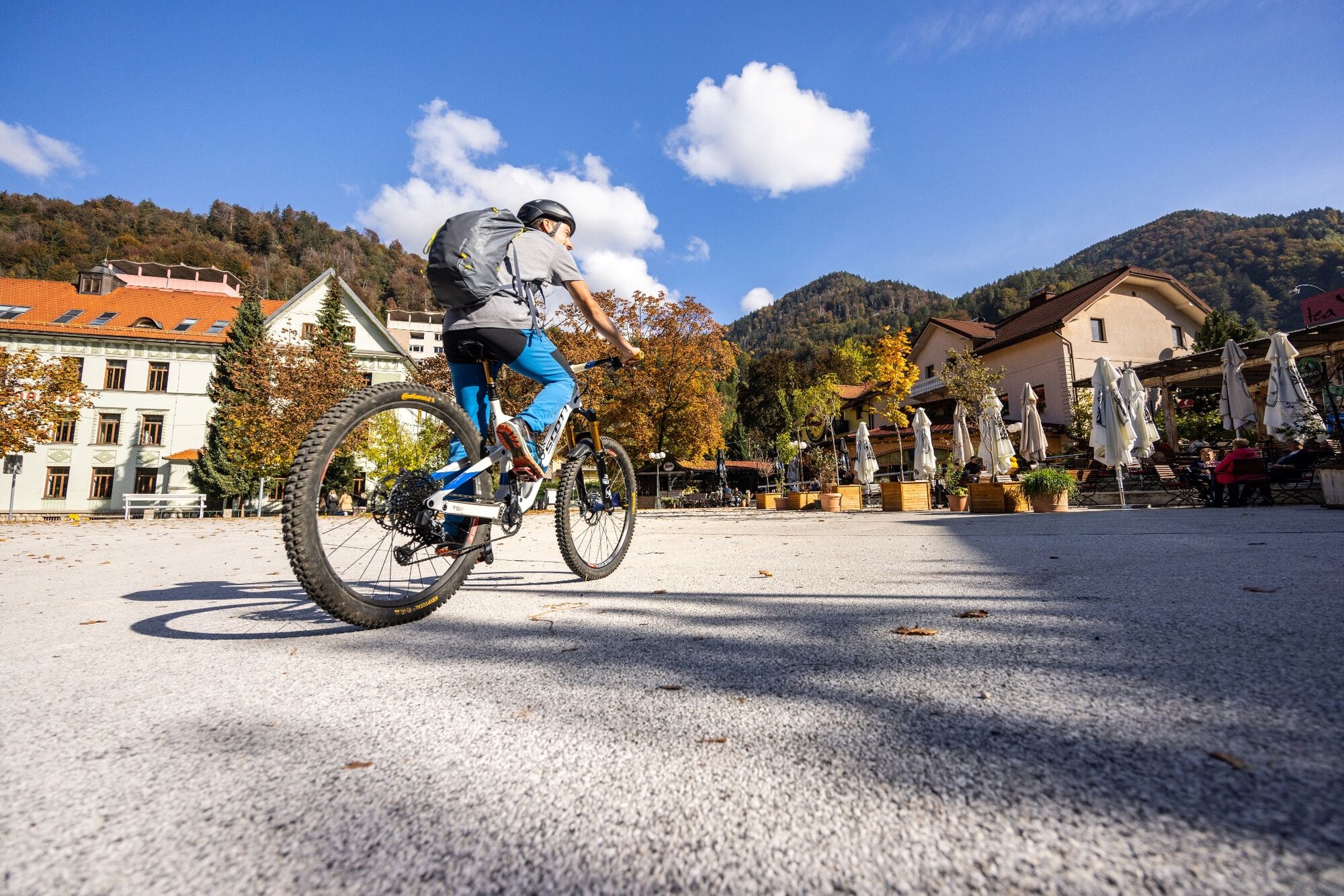
Lovely family cycling through the Upper Sava Valley, from the ironworks town to the cradle of Slovenian mountaineering
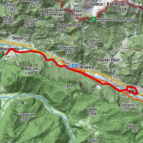
Jesenice – Mojstrana – Jesenice
- Difficulty
-
medium
- Rating
-
- Route
-
Jesenice (576 m)0.7 kmCerkev Marijinega vnebovzetja1.1 kmKurja vas2.0 kmBirnbaum5.3 kmSveti Klemen10.8 kmPizzeria Kot11.8 kmMeistern in der Oberkrain12.5 kmBirnbaum18.9 kmKurja vas22.2 kmEjga23.0 kmAßling23.1 kmJesenice (576 m)23.2 km
- Best season
-
JanFebMarAprMayJunJulAugSepOctNovDec
- Description
-
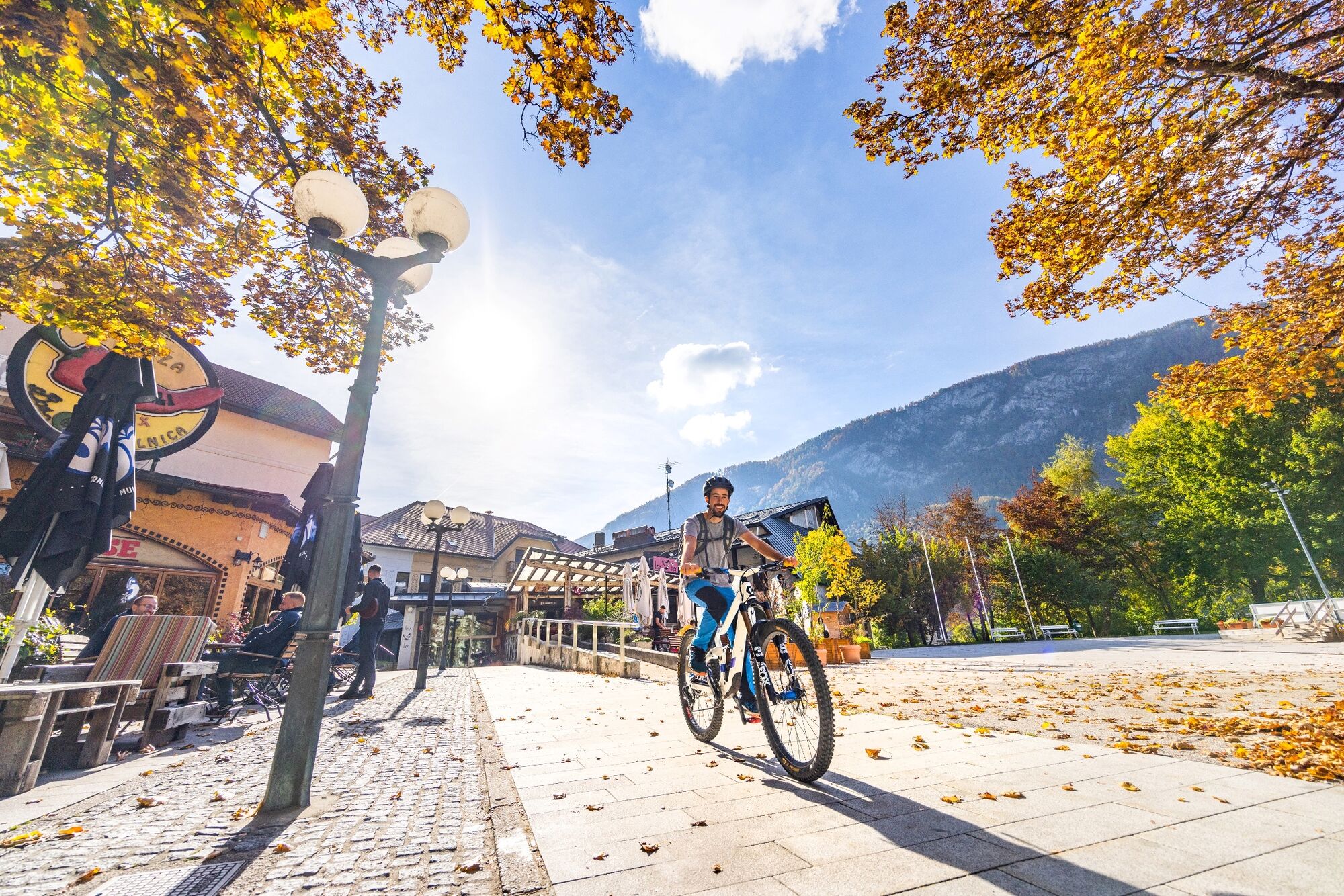
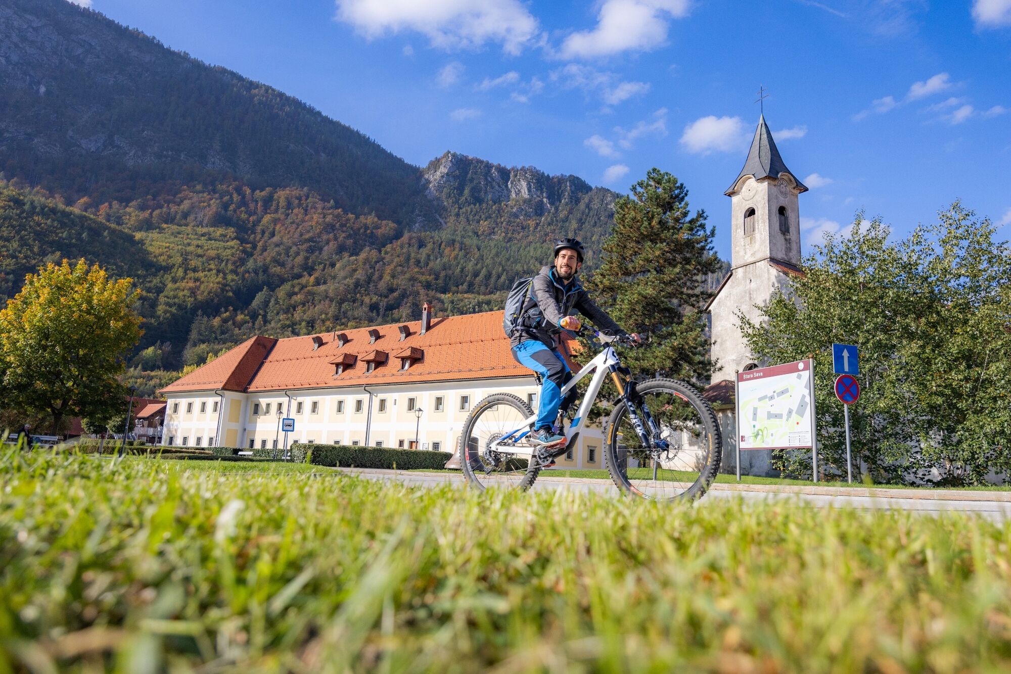
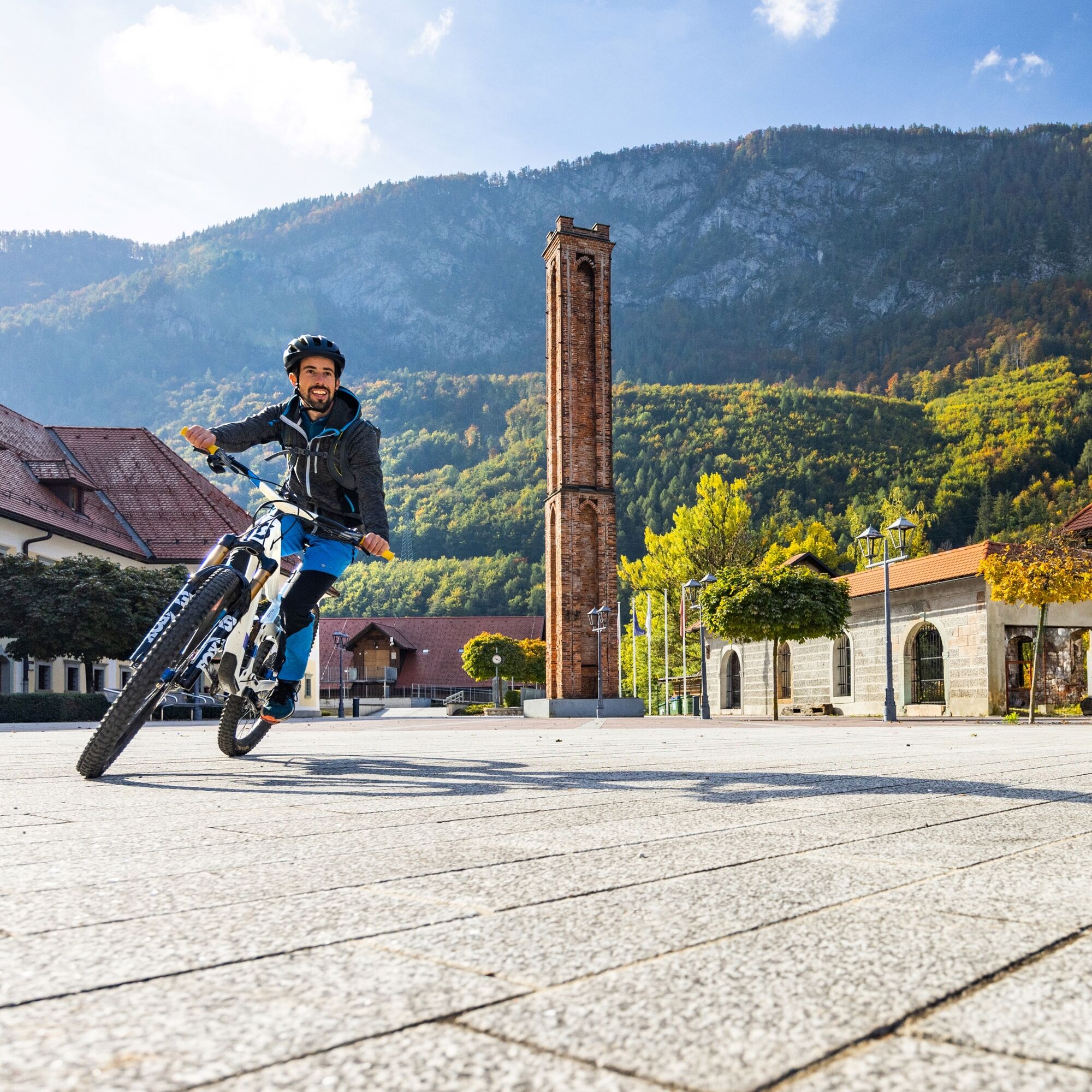
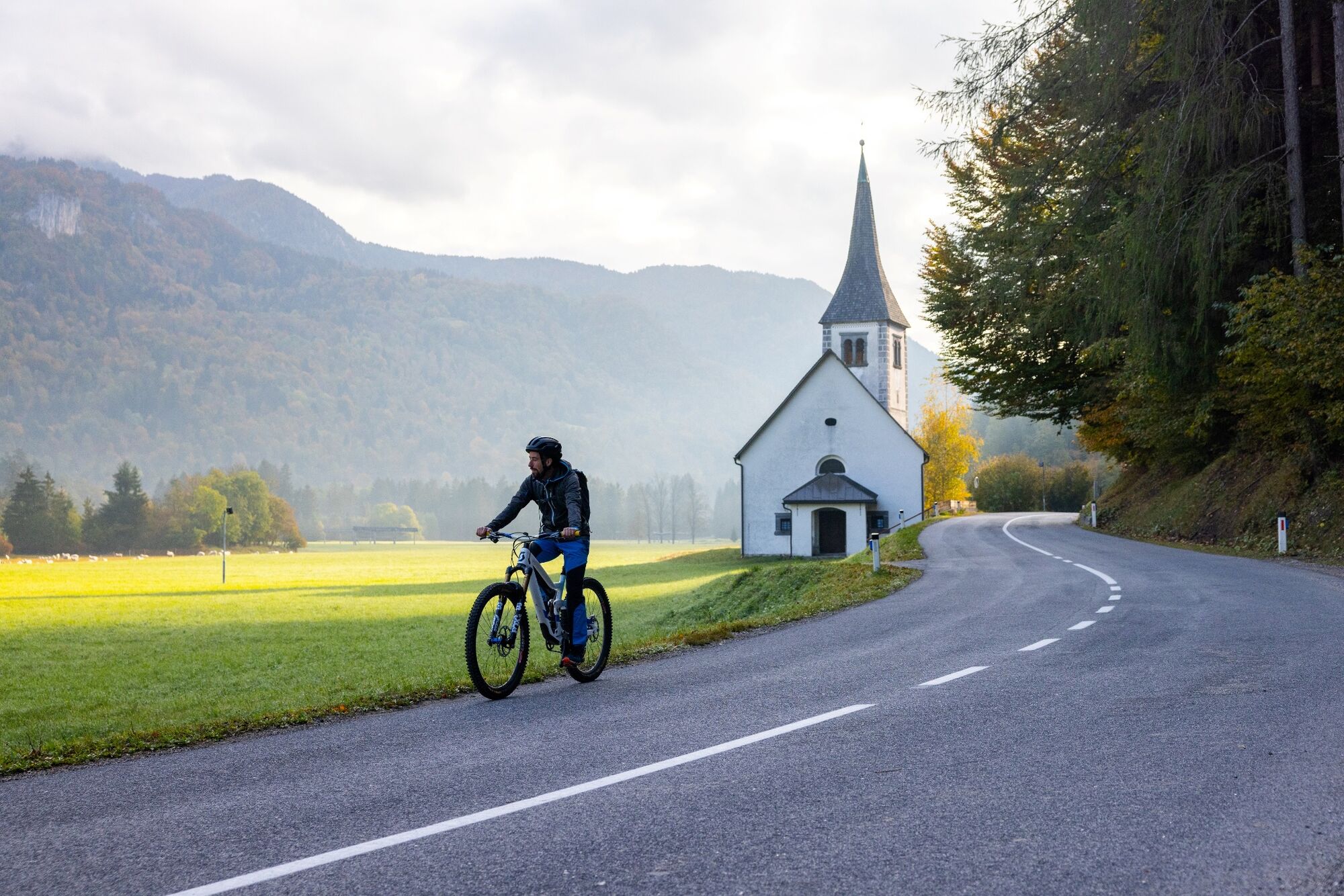
The family cycling trip starts in front of the Tourist Information Centre of Jesenice, where you can soak up all the useful information. The route will lead through the Upper Sava Valley, mostly along a well-maintained cycling path. First, turn left and go down past Tone Čufar Square to the roundabout with the statue of an ironworker, where you turn right. Follow the marked cycling path to the Stara Sava museum area, past former industrial buildings and across the bridge in the direction of the Podmežakla Sports Hall. Just after the underpass under the highway, turn right onto the long-distance cycling route D2 in the direction of Rateče. Prepare for some dynamic cycling with short but also steeper ascents and descents. There are enough bicycle rest areas to rest and freely observe the landscape. If you are cycling with children, a stop at the Topolino rest area and information point is almost mandatory, as young cyclists can relax on the playground before continuing the trip. We continue to Mojstrana on the local road, so be extra careful while driving. You arrive in Mojstrana passing the church of St. Clemen’s and the ski slopes and continue by following the signs for the Slovenian Alpine Museum. Before visiting the Slovenian Alpine Museum, it is also worth stopping at the Trg Olimpijcev square. You are already familiar with the route on your way back, you will return along the same cycling path and the previous climbs become descents. When returning to Jesenice, at the end of the Podmežakla Sports Hall, do not go straight, as directed by the signs for the D-2 cycle route, but turn left over the bridge and through the underpass under the railway station. You arrive at the main street, Cesta maršala Tita, and cross it along the cycling road and head left back to the starting point.
- Highest point
- 660 m
- Height profile
-
 © outdooractive.com
- Author
-
The tour Cycling route Jesenice - Mojstrana - Jesenice is used by outdooractive.com provided.