

- Brief description
-
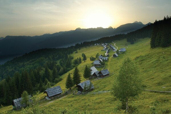
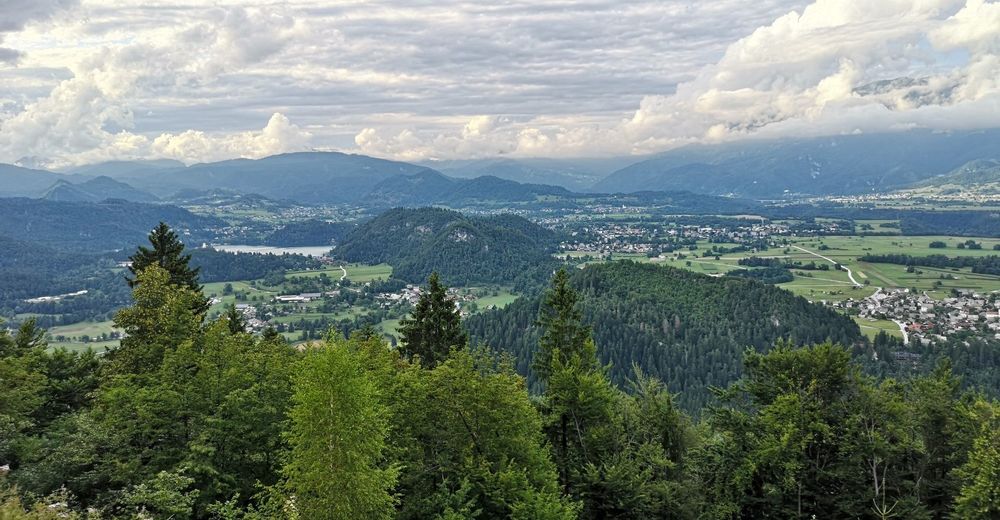
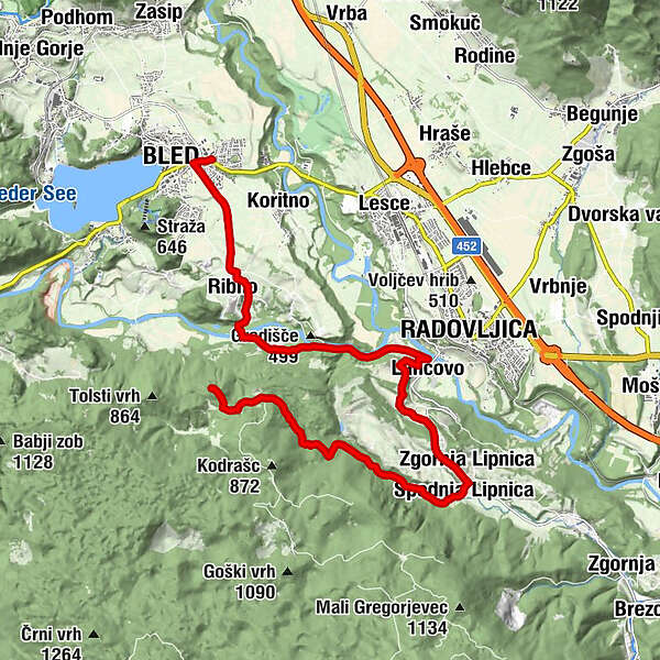
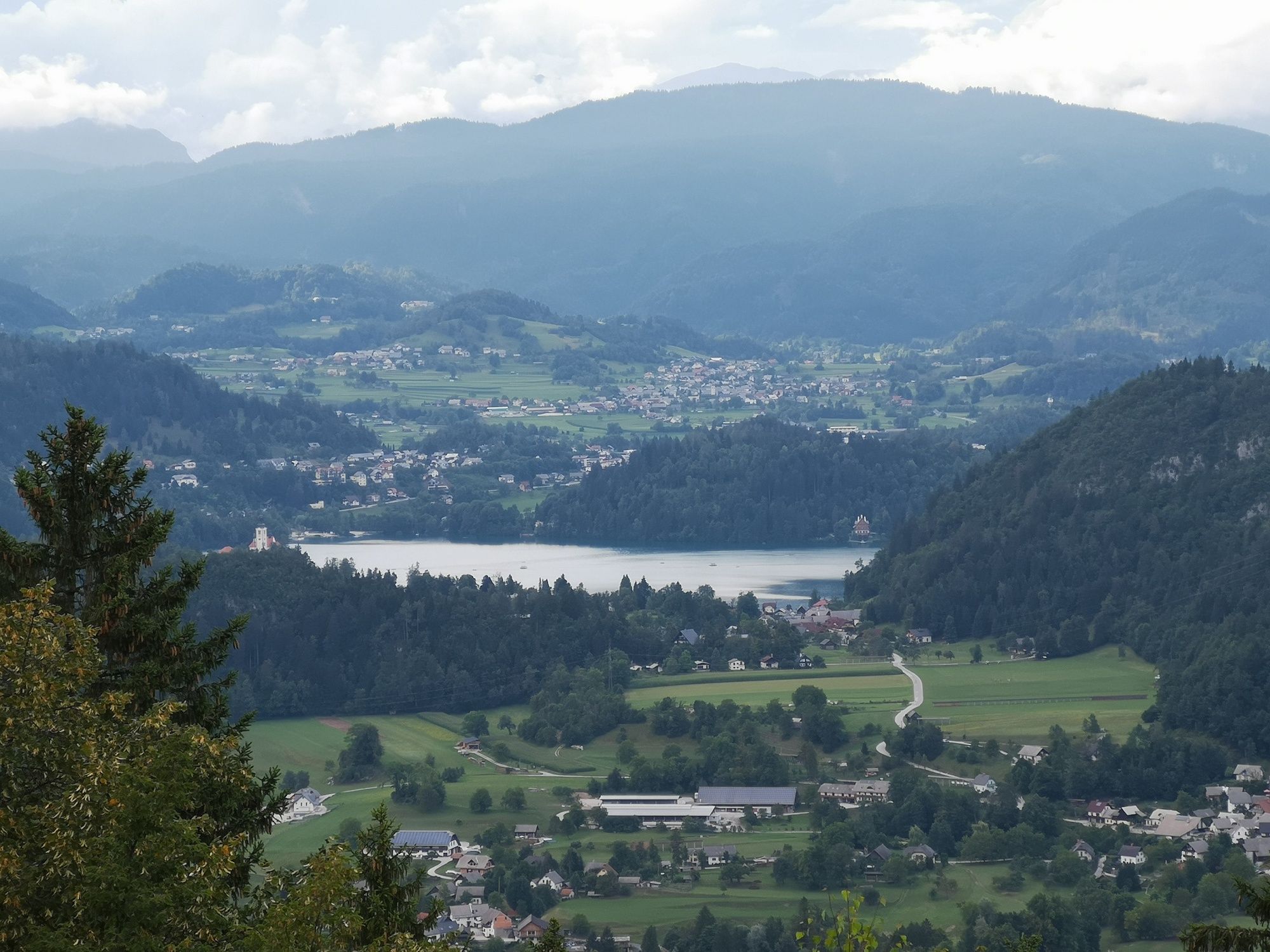
This cycling tour takes you to the Jelovica Plateau, where you can admire the magnificent vast pine forests and enjoy in the exceptional views of Bled, Dežela and the Karavanke mountain range.
- Difficulty
-
medium
- Rating
-
- Starting point
-
Infocenter Triglavska roža Bled.
- Route
-
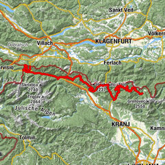
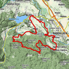
Bled0.3 kmRibno2.3 kmRadmannsdorf6.7 kmLancovo6.7 kmSelce7.3 kmZgornja Lipnica9.6 kmSpodnja Lipnica10.1 kmKolnica10.9 kmVošče12.3 kmLovska koča Talež15.6 km
- Best season
-
JanFebMarAprMayJunJulAugSepOctNovDec
- Description
-
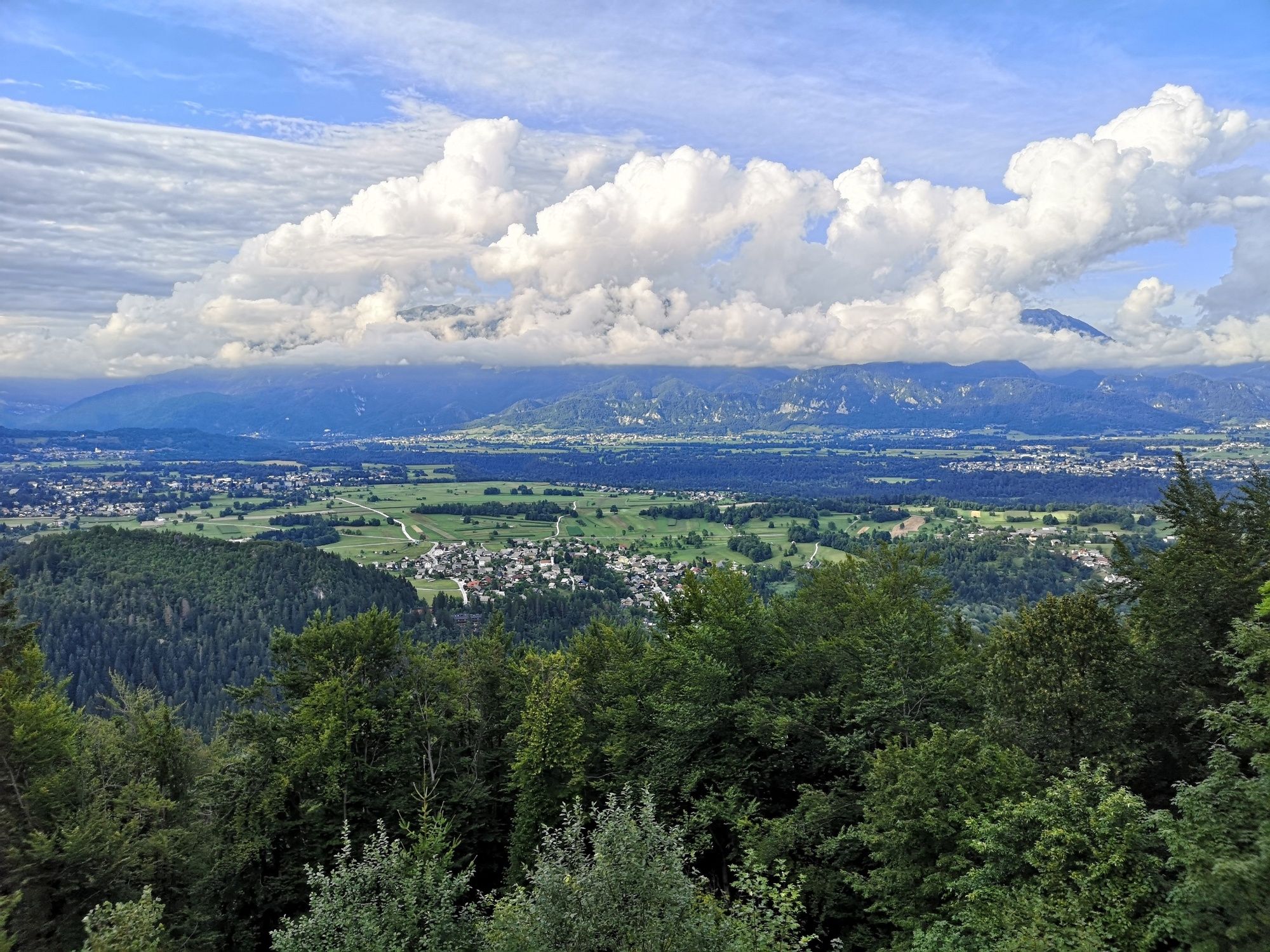
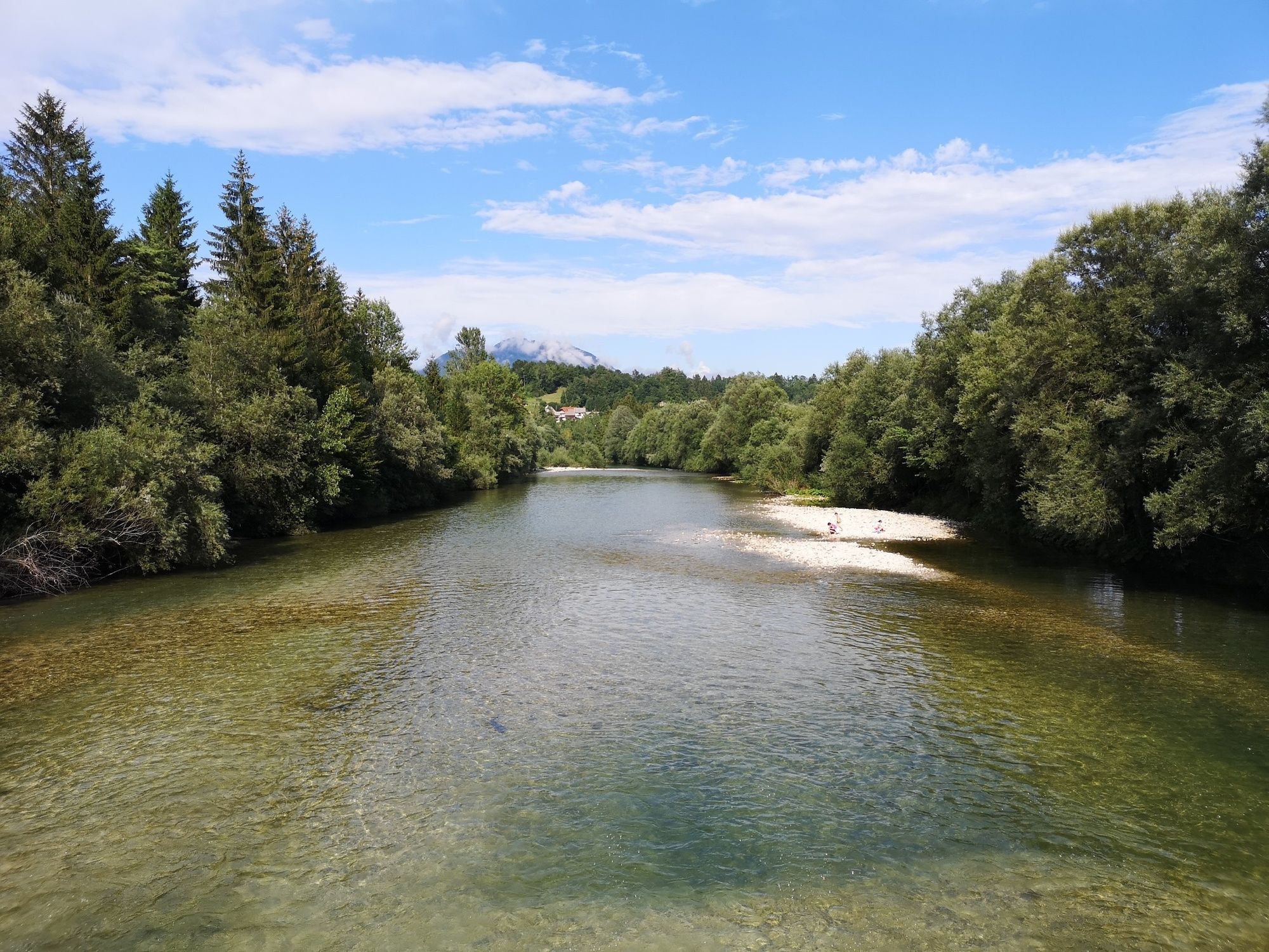
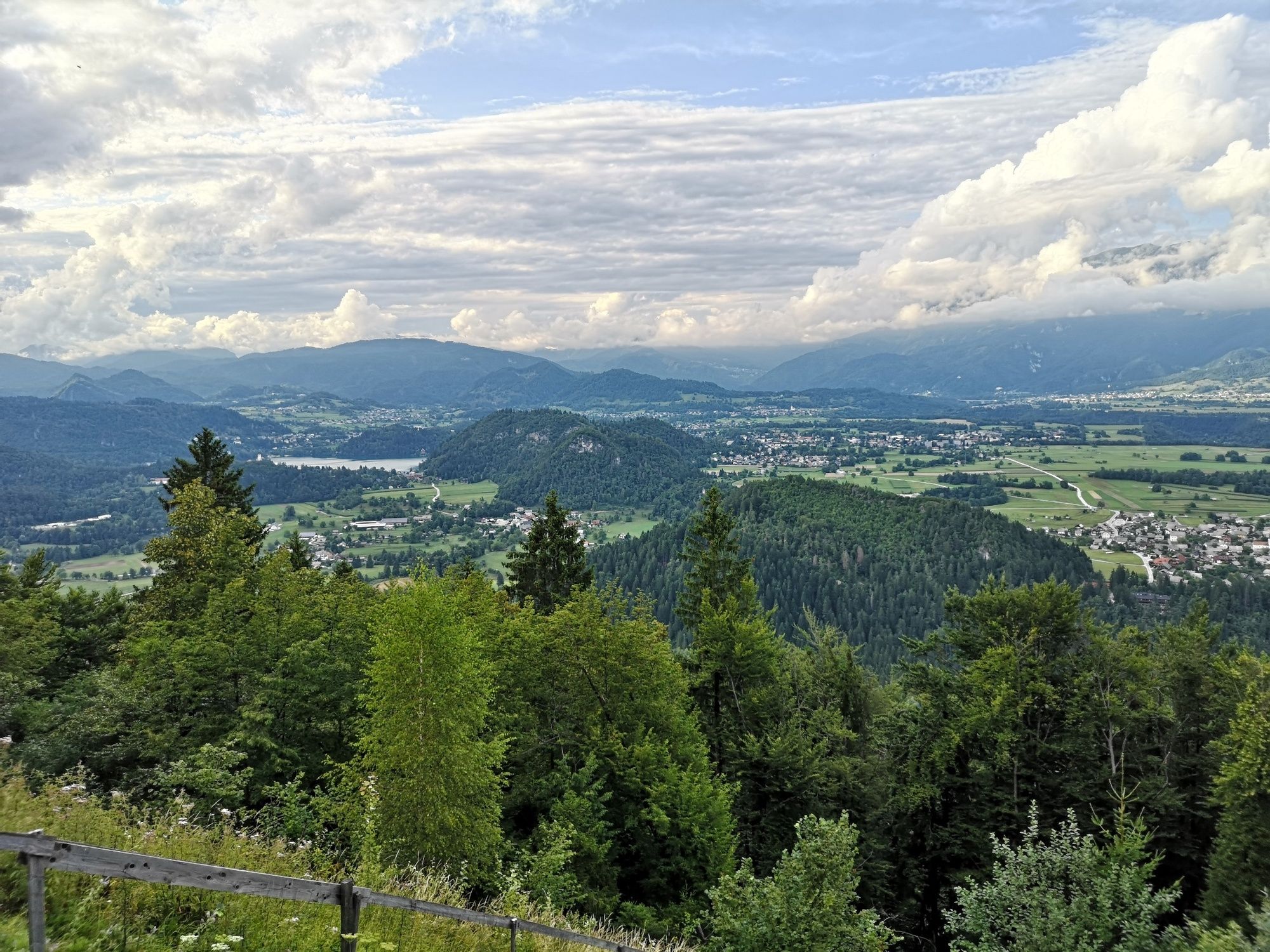
The tour runs past the villages of Bled and continues to the Sava Bohinjka River, where you cycle to Lancovo and come to the first climb. The trail then continues to the Jelovica Plateau and to Talež Hunting Lodge, where you can rest, and fresh-up and enjoy in one of the most beautiful views of Bled. The return to the starting point in Bled runs along the initial direction, the tour itself can be extended to Radovljica, Kamna Gorica or Kropa.
- Directions
-
BLED - RIBNO - LANCOVO - SPODNJA LIPNICA - TALEŽ HUNTING LODGE
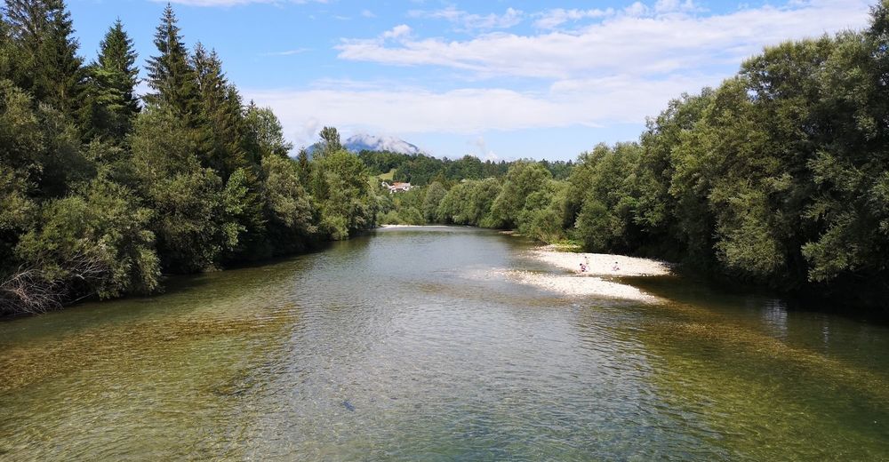
The tour starts in front of the Triglavska roža Bled Info Centre and continues along the Ljubljanska cesta. In the roundabout, take the second exit. In the next crossroad (before the Union bus stop) turn left towards Ribno. Continue along the asphalt road until you reach the crossroad before Ribno. Turn left and after hundred meters turn right at the bus stop. The road slightly descends. At the car shop (Kia) turn left and continue descending to the Sava Bohinjka River and cross it.
At the end of the bridge, the asphalt road turns to unpaved road, turn left and cycle along the unpaved road. There is a large meadow on the left side. After a few hundred metres the road starts slightly climbing and stay on the left side in the crossroad. Continue along unpaved road and after 1 km reach the bridge at Bodešče village (on the left side), continue straightforward along the river. When you reach Lancovo, you can already see Radovljica in the distance. In the crossroad, turn right and start a steep climb that ends after 500 metres in the crossroad at the roadside shrine (on the left). Turn left and cycle on the plane before you start climbing to the upper part of the village.
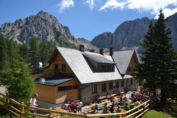
Cycle along the main road through the village and when coming out of the village you reach the main road through the valley of Lipnica. Turn right and cycle along the main road to Zgornja Lipnica. In the village before the bus stop turn right in the direction of Talež. Continue along the asphalt road to the brinks of the village, where asphalt road ends and unpaved road starts. The road slightly ascends, continue along it until you reach the turning for the Talež Hunting Lodge (on the right). The road starts slightly descending. After 600 metres you reach a new turning for hunting lodge, turn sharp right and continue along the wide unpaved road that brinks you to a slight ascend after 500 metres. The hunting lodge is on the right side. Return to Bled along the same road.
- Highest point
- 739 m
- Endpoint
-
Infocenter Triglavska roža Bled.
- Height profile
-
 © outdooractive.com
 - Equipment
-
Bike and helmet.
- Safety instructions
-
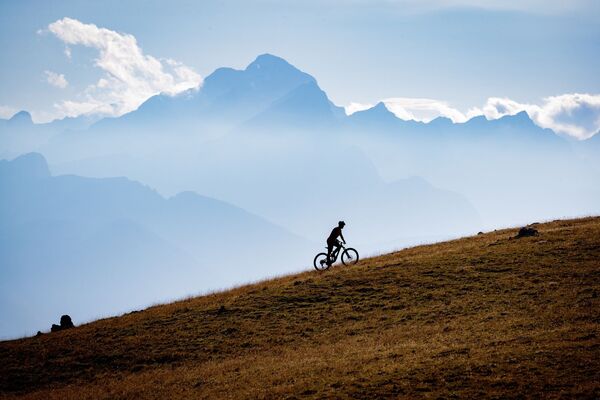
The tour is suitable for mountain bikers.
Consider traffic signalisation. - Tips
-
The Jelovica Plateau abounds in forest roads, therefore, we advise you to keep to marked trails and consider all direction boards.
- Additional information
-
TIC INFOCENTER Triglavska roža Bled
Ljubljanska cesta 27, SI – 4260 Bled
E-maili: info@visitbled.si , info.trb@tnp.gov.si
Tel: +386 (0)4 5780 205
Web address: http://www.bled.si; http://www.tnp.si
TIC - Turistično Društvo Bled
Cesta svobode 10, SI – 4260 Bled
Tel: +386 (0)4 5741 122
Web address: http://www.td-bled.si
TIC Radovljica
Linhartov trg 9, SI - 4240 Radovljica
Tel: +386 (0)4 5315 112
- Directions
-
You can get to the starting point in Bled by car from Lesce (Ljubljana-Karavanke motorway exit) or from other regional roads from Bohinj or Jesenice.
- Public transportation
- Parking
- Author
-
The tour Hunter's Trail is used by outdooractive.com provided.


General info
-
Wörthersee - Rosental
219
-
Gorenjska
32
-
Radovljica
28