
- Brief description
-
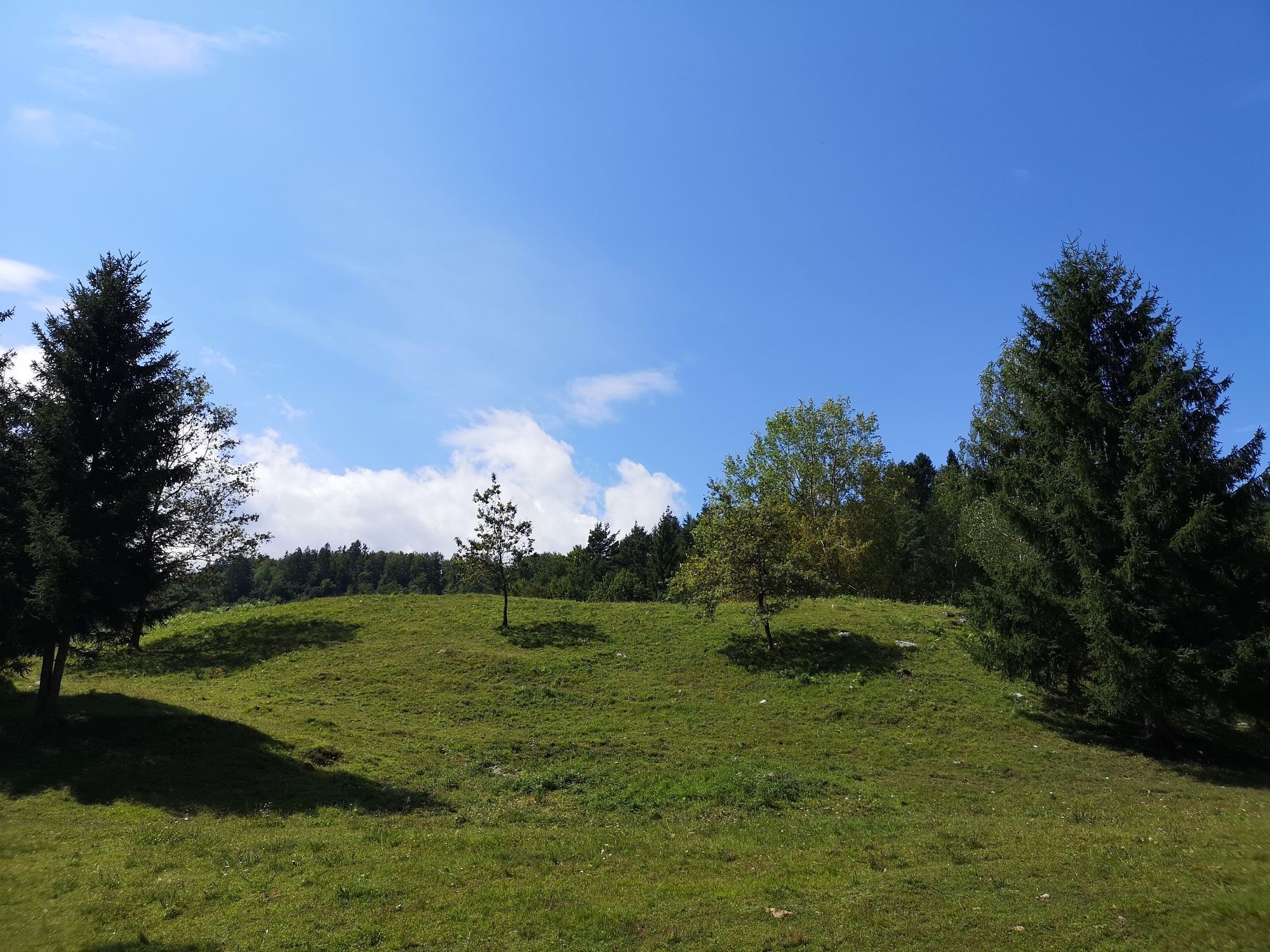
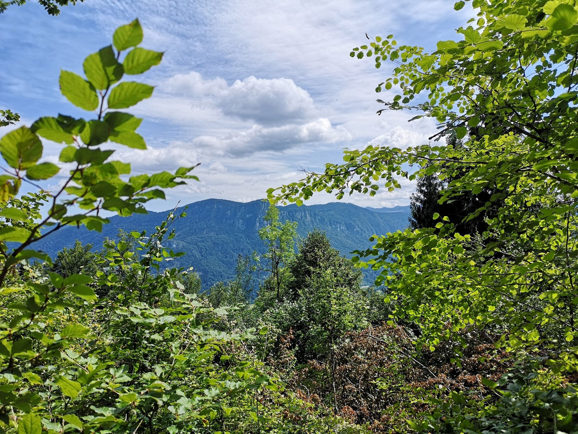
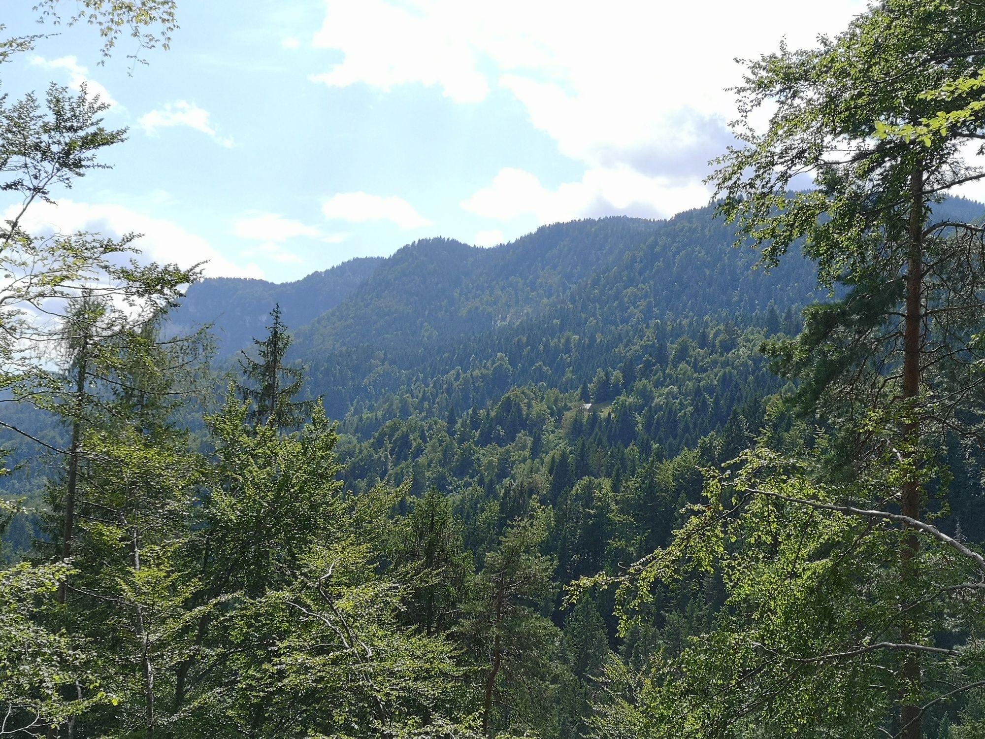
A short and demanding trail will award you with visiting the Rčitno pasture. Return along the same road through the magnificent forest and after the steep climb you will be awarded with a great descend.
- Difficulty
-
medium
- Rating
-
- Starting point
-
Infocenter Triglavska roža Bled.
- Route
-
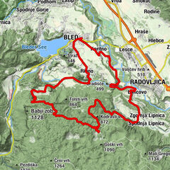
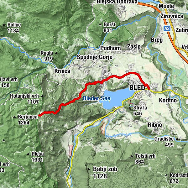
Bled0.4 kmRečica3.0 kmPasica3.8 kmZatrata4.4 kmStrešno brdo (865 m)6.9 km
- Best season
-
JanFebMarAprMayJunJulAugSepOctNovDec
- Description
-
On this cycling tour you will visit Rečica village and ascend to the Rčitno pasture. We recommend a short stop on the pasture, where you can enjoy in peace and quiet and admire alpine huts – lodges that are typical of Alpine architecture. Return to the starting point along the same road.
- Directions
-
BLED - REČICA - ZATRATA - RČITNO
The tour starts in front of the Triglavska roža Bled Info Centre and continues along the road on the right side of Mercator shop. At the end of the street, turn left and cross Seliška cesta, where you reach the cycling route. Turn right and ride along the cycling route to Rečica.
Turn left to the village and continue straightforward in the direction of the railway station. Choose the fifth turning on the right and drive below the railway track to Aljaževa ulica. Continue straight on along the asphalt road. In the last crossroad, you will see a tourist sign on the left side for Rčitna (4.6 km). Continue straight on until you reach a steep paved hill. The route turns left at the house (on the right side).
The asphalt road ends, then continue along the unpaved road uphill. There are some steep sections and short planes. Remain on the unpaved road and always turn to the ascending parts of the route and turnings. Right before reaching the pasture the route flattens and runs over the pasture. Return to the starting point along the same road.
- Highest point
- 917 m
- Endpoint
-
Infocenter Triglavska roža Bled.
- Height profile
-
 © outdooractive.com
 - Equipment
-
Mountain bike and helmet.
- Safety instructions
-
The tour is suitable for mountain bikers.
Consider traffic signalisation.
- Tips
-
Due to many turnings and side forest roads, we recommend you to use a navigation device with the downloaded GPS of the trail.
Be careful while descending because the surface is slippery and soft.
- Additional information
- Directions
-
You can get to the starting point in Bled by car from Lesce (Ljubljana-Karavanke motorway exit) or from other regional roads from Bohinj or Jesenice.
- Public transportation
- Parking


- Author
-
The tour Shepherd's Trail is used by outdooractive.com provided.


General info
-
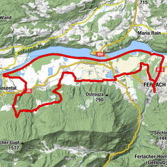
Wörthersee - Rosental
217
-
Gorenjska
32
-
Bled
32