Cycling route Zg. Jezersko - Štularjeva planina - Zg. Jezersko


- Brief description
-
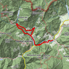
Sightseeing tour past the Lake Planšarsko jezero with wonderful views over the Ravenska Kočna valley.
Zgornje Jezersko–Planšarsko jezero–Ravenska Kočna–Štularjeva planina–Ravenska Kočna–Planšarsko jezero–Zgornje Jezersko
- Difficulty
-
medium
- Rating
-
- Route
-
Seeland0.0 kmKočna0.3 kmŠtularjeva planina (1,270 m)8.3 kmKočna16.3 kmSeeland16.5 km
- Best season
-
JanFebMarAprMayJunJulAugSepOctNovDec
- Description
-
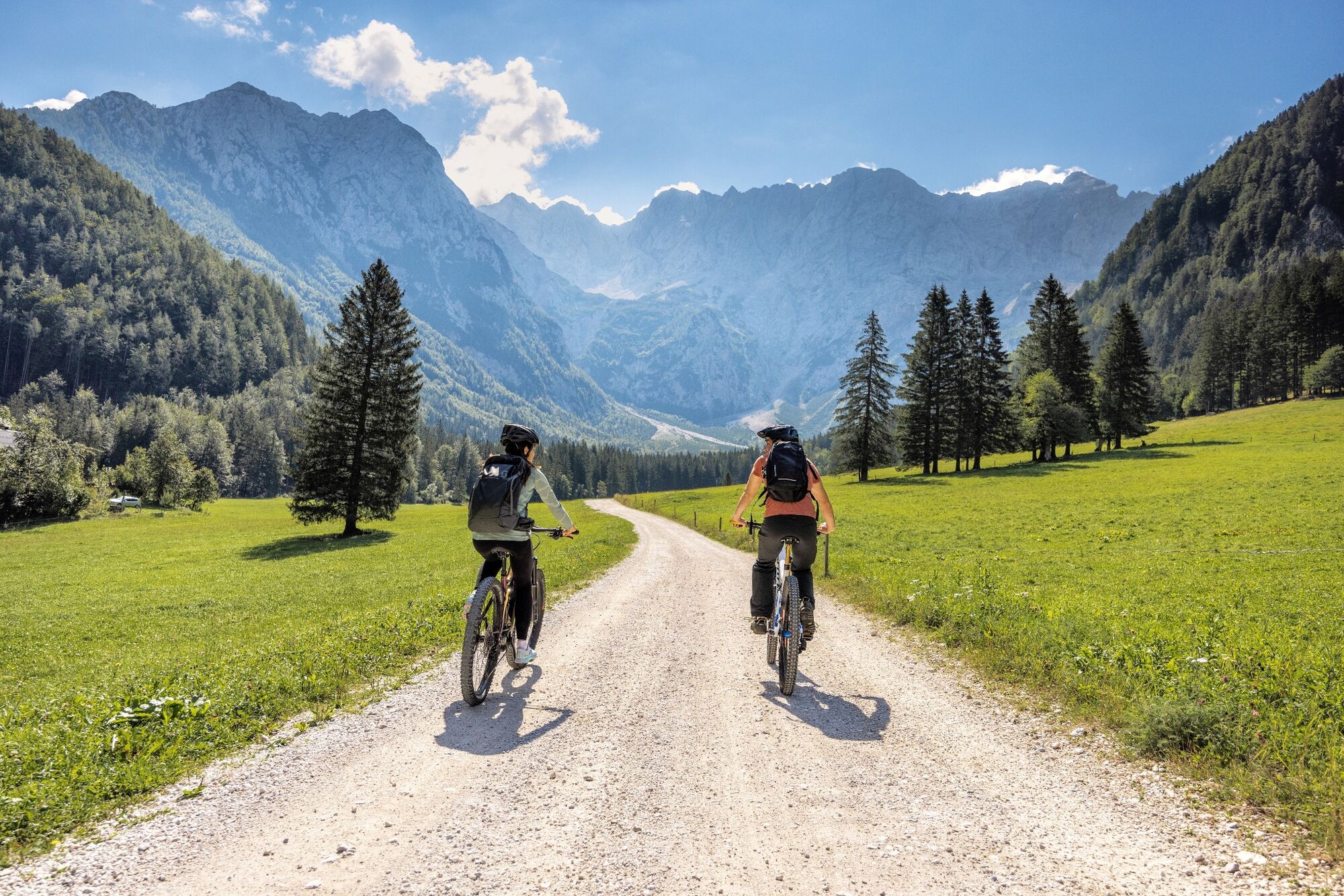
The path from in front of the tourist information centre initially leads to the Lake Planšarsko jezero, which you bypass on the right. At the entrance to the Ravenska Kočna valley (next to the Pod Turni hunting lodge), there is a parking barrier, with a free passage for cyclists. At the tourist farm Ancel, the asphalt road turns into a gravel road, which you follow past the rest stop on the themed walking trail along the Ravenska Kočna valley and the final parking lot for personal vehicles all the way to the lower station of the cargo cableway for the Češka koča mountain hut. There you turn right and enjoy some two kilometres of climbing. At the mountain pasture Štularjeva planina, take your time and admire the views of the valley's slopes, towards Mt. Skuta and other peaks all the way to Goli vrh. When descending on the same trail, consider hikers, who are also using individual sections of the trail. Lake Planšarsko jezero is interesting in all seasons, so on the way back take your time and stop on its shore.
- Highest point
- 1,274 m
- Height profile
-
 © outdooractive.com


- Author
-
The tour Cycling route Zg. Jezersko - Štularjeva planina - Zg. Jezersko is used by outdooractive.com provided.