

- Brief description
-
The path offers everything that trail cyclists wish for: an ascent exceeding your comfort zone, travelling through untouched forests, access to magnificent views and a descent requiring your full attention.
- Difficulty
-
difficult
- Rating
-
- Starting point
-
Infocenter Triglavska roža Bled.
- Route
-
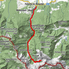
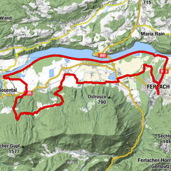
Bled0.5 kmSelo pri Bledu2.0 kmLog2.7 kmBohinjska Bela7.0 kmGostilna Batišt7.8 kmKrnica30.5 kmPostojna31.0 kmZaboršt31.4 kmZgornje Gorje32.3 kmPoljšica pri Gorjah32.3 kmRečica33.7 kmBled36.0 km
- Best season
-
JanFebMarAprMayJunJulAugSepOctNovDec
- Description
-
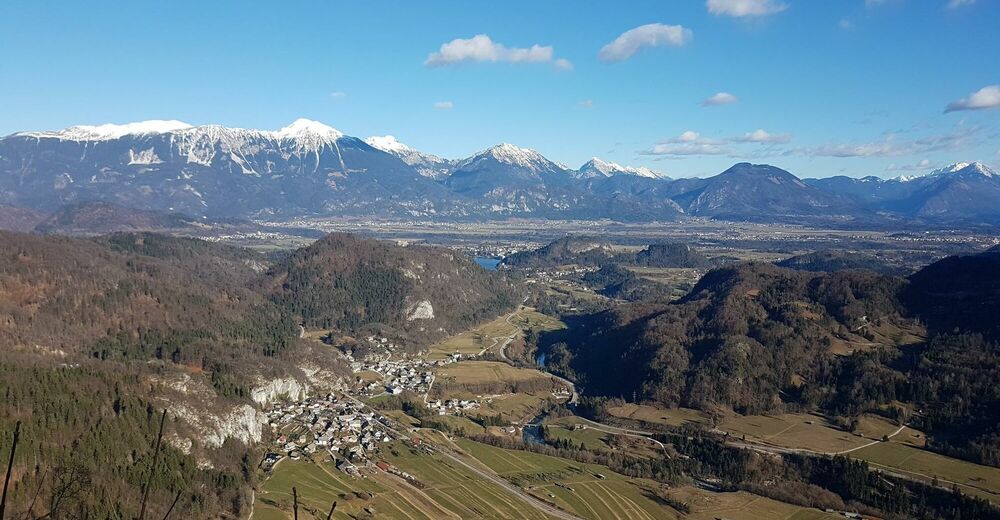
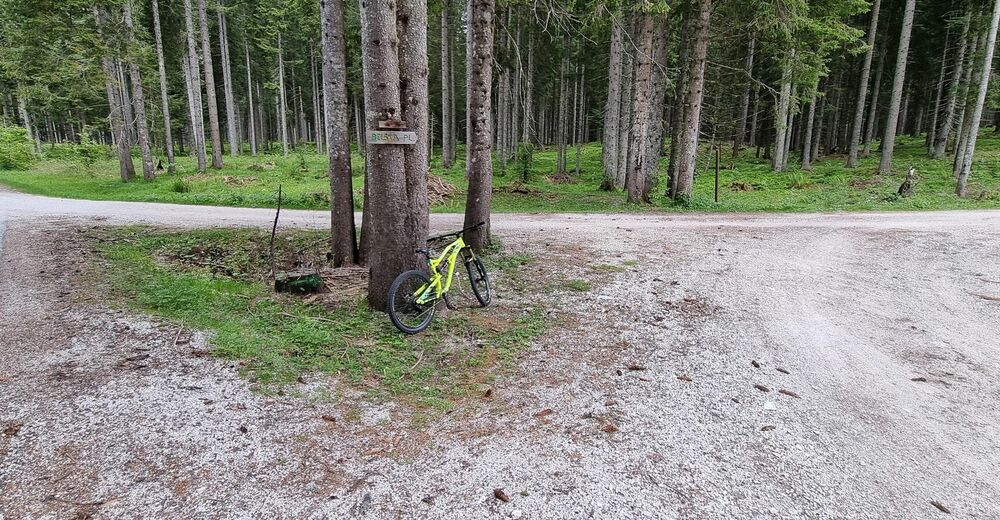
The Taste Pokljuka trip is a demanding long-distance mountain biking trail. You can spice it up by hiking to the top of mount Galetovec. Experienced cyclists will undoubtedly enjoy the ride and will have a real taste of Pokljuka: the genuine stubbornness of the people of Gorenjska in climbing uphill, the vastness of spruce tree forests, the discovery of unknown corners which seem so close, but we do not know anything about them, nature as known by the locals who preserved it with respect, and taste which we are slowly forgetting: the taste of ourselves. We go on this journey with respect for the nature which we will visit. The trail is intended for well-prepared cyclists who are capable of enduring long cycling solo trips. A bit further from the Belska planina mountain pasture there is also an access to mount Galetovec, however, the last part of the access and descent are for hikers only for reasons of protecting nature.
- Directions
-
BLED - SELO PRI BLEDU - BOHINJSKA BELA - GALETOVEC - ZATRNIK - POKLJUŠKA SOTESKA - KRNICA - BLED
From Bled we head toward the settlement of Zagorice under mount Straža, then to Dindol and on between Dobra gora and Homec to the village of Selo. At the crossroads in the middle of the village we continue onwards down the slope (the turn is a few metres to the left). On the flat surface of the intersection by the event space we choose the path on the right. We ride on an unpaved road until we reach an asphalted road on which we continue on the Mačkovec slope to the Bled - Bohinj trunk road. We use the pedestrian and cycling crossing and continue on the cycling path to Bohinjska Bela, through the village and on to the right turn in the Podklanec hamlet taking us up toward Pokljuka.
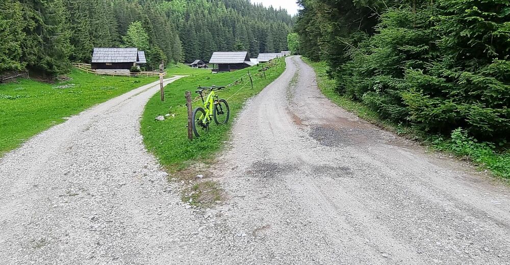
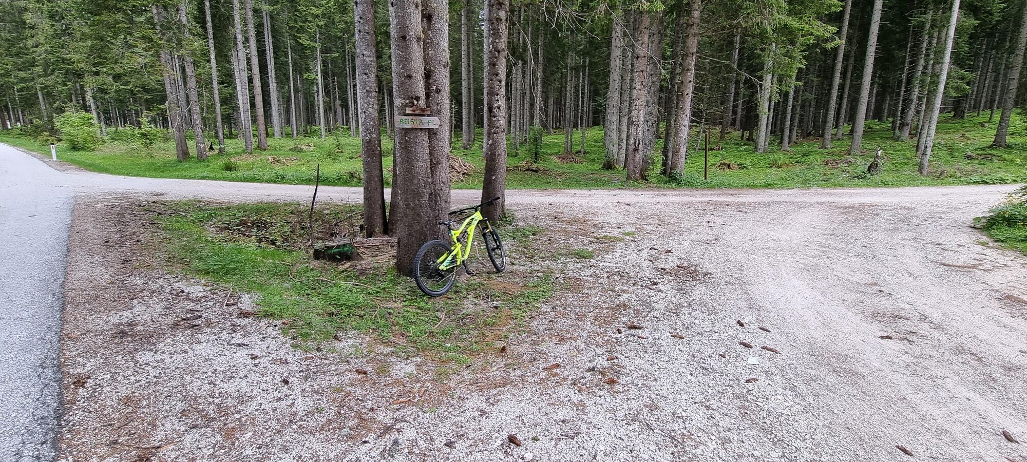
The ascent is long and steep in some parts. At the altitude of approximately 800 m we take a sharp left turn toward mount Galetovec at a well-marked turn. A very steep section leading to the Planina za Jamo mountain pasture is now before us. At the end of the incline, we continue our ride across the Planina za Jamo mountain pasture on a nice forest road to the Gorjuše - Mrzli studenec paved road. On this road we turn right and ride upwards for 2 km, after which we turn right at the junction for the Belska planina mountain pasture. Passing Belska planina we continue riding on a forest road.
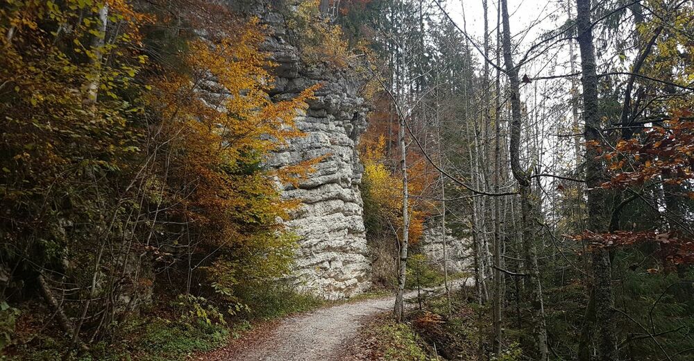
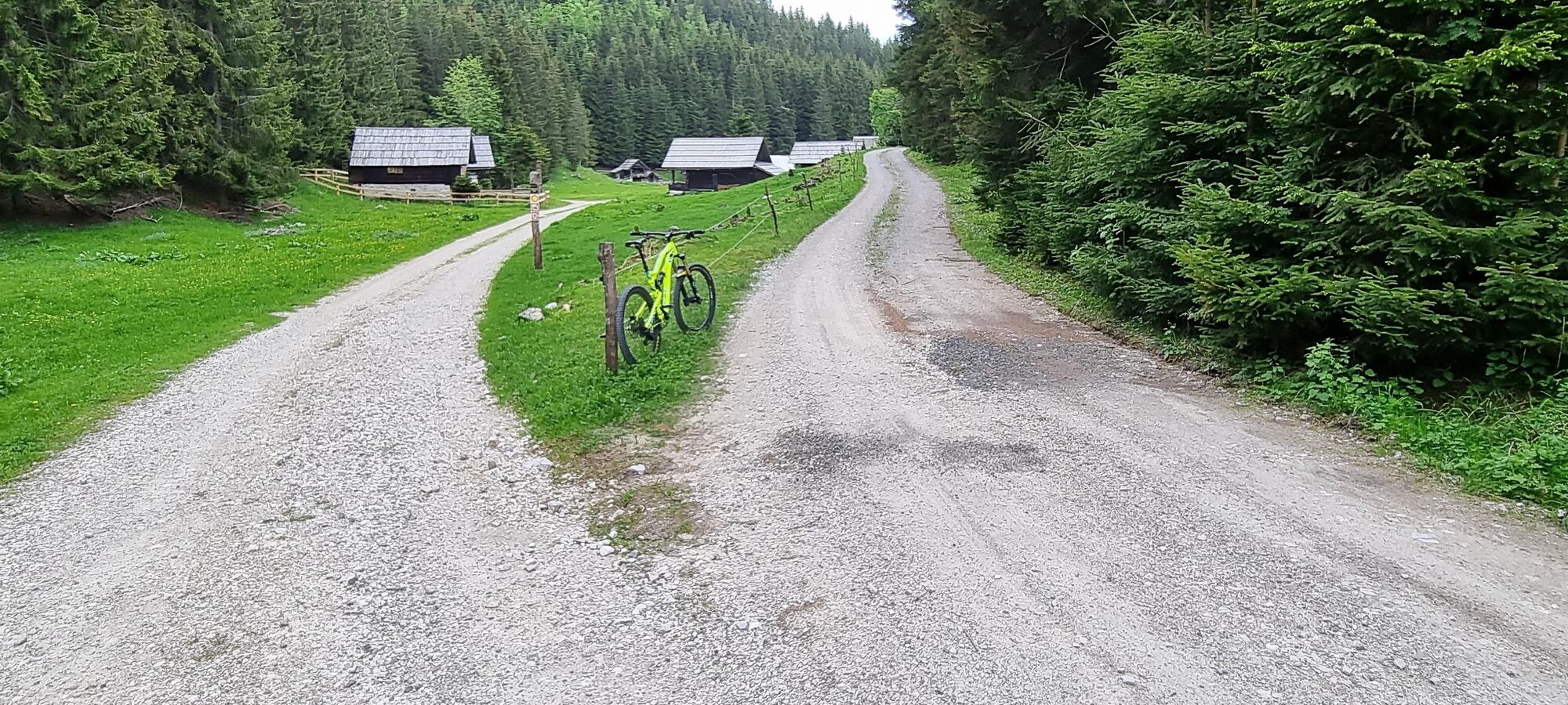
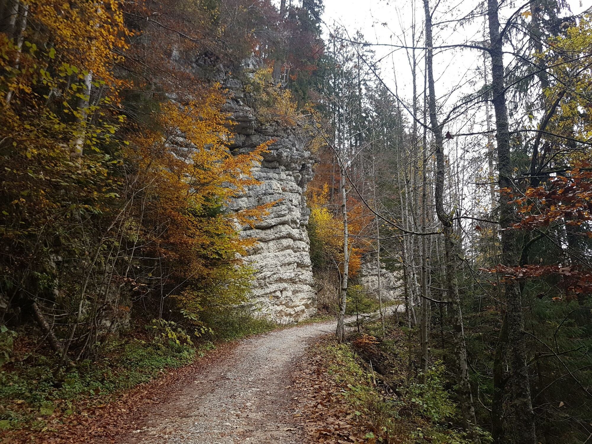
After Belska planina there is a junction marked for accessing the top of mount Galetovec on foot. We continue on a forest road which runs evenly at approximately 1200 metres above sea level. As we approach Zatrnik the road starts to descend. We arrive to the Gorje - Rudno Polje regional road. We turn right and downwards. After approximately 600 metres we turn left to a forest road junction leading above the Pokljuka gorge. The road goes up and down. At the first junction we turn right and downwards. and follow a nice path that gradually becomes steeper until we enter the Pokljuka Gorge.
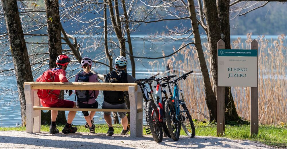
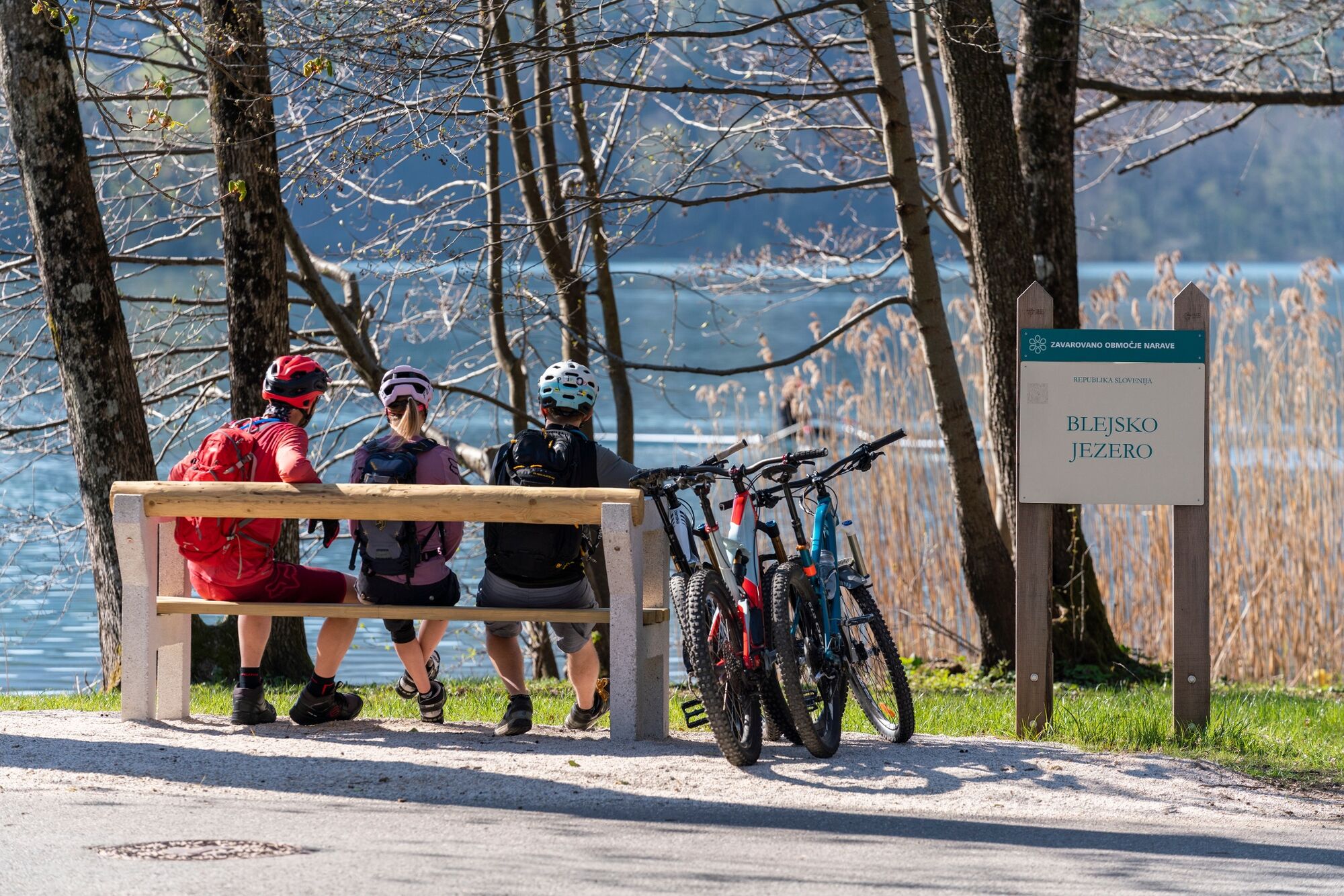
From the Pokljuka Gorge we ride into the village of Krnica, where we cross the Gorje - Rudno polje road again. We turn left and after a few metres we turn right at the bust stop to a local road passing by the Betania house. We ride along the road until we reach the village of Poljšica and then through the village down and right toward Bled. When the road connects to the “Razgledna cest” road, we turn right and then immediately left crossing a stone bridge. After the bridge we turn right and downwards and then left at the next junction. We ride to the first junction where we turn right and downwards toward Mala Zaka. After approximately 200 metres we turn left to the “Za gradom” street and ride down the street until reaching the lake where we turn left to the Rowers’ promenade. We ride along the promenade to the Festival Hall where we turn left and up, behind the municipality building and the Ice Hall until we reach the “Ljubljanska cesta” road. We turn left crossing the traffic-light junction and ride on through the roundabout, then turn left at the junction and we finally arrive at the starting point of our journey.
- Highest point
- 1,264 m
- Endpoint
-
Infocenter Triglavska roža Bled.
- Height profile
-
 © outdooractive.com
 - Equipment
-
Technically flawless bike, we recommend an all-mountain bike with profiled tyres.
Helmet, gloves, sunglasses
Backpack food and drink
Back-up inner tube, pump, multitool, first aid kit
ID, health insurance card, mobile phone, navigation device, map of the area - Safety instructions
-
When joining the Gorje - Mrzli Studenec road we have to pay attention to road traffic. The descent down Stara Pokljuka is steep, the surface is unstable.
- Tips
-
Take advantage of the access to the panorama on mount Galetovec, which is most comfortable if taken from the junction under Belska planina (marked with a signpost). At the end of the approximately one kilometre long road we continue on the left and follow the steep trail to the top of mount Galetovec. It is about a 20-minute moderate walk from here to the top.
- Additional information
-
TIC INFOCENTER Triglavska roža Bled
Ljubljanska cesta 27, SI – 4260 Bled
E-maili: info@visitbled.si; info.trb@tnp.gov.si
Tel.: +386 (0)4 5780 205
Web address: http://www.bled.si; http://www.tnp.si
TIC - Turistično Društvo Bled
Cesta svobode 10, SI – 4260 Bled
Tel.: +386 (0)4 5741 122
Web address: http://www.td-bled.si
Turistično društvo Bohinjska Bela
Bohinjska Bela 37, SI - 4263 Bohinjska Bela
Web address: http://www.bohinjskabela.si/sl/drustva/turisticno-drustvo
Turistično društvo Gorje
Podhom 80, SI – 4247 Zgornje Gorje
Tel.: +386 (0)4 5725 266
- Directions
-
You can get to the starting point in Bled by car from Lesce (Ljubljana-Karavanke motorway exit) or from other regional roads from Bohinj or Jesenice.
- Public transportation
- Parking

- Author
-
The tour Taste Pokljuka is used by outdooractive.com provided.


General info
-
Wörthersee - Rosental
217
-
Bled
32