
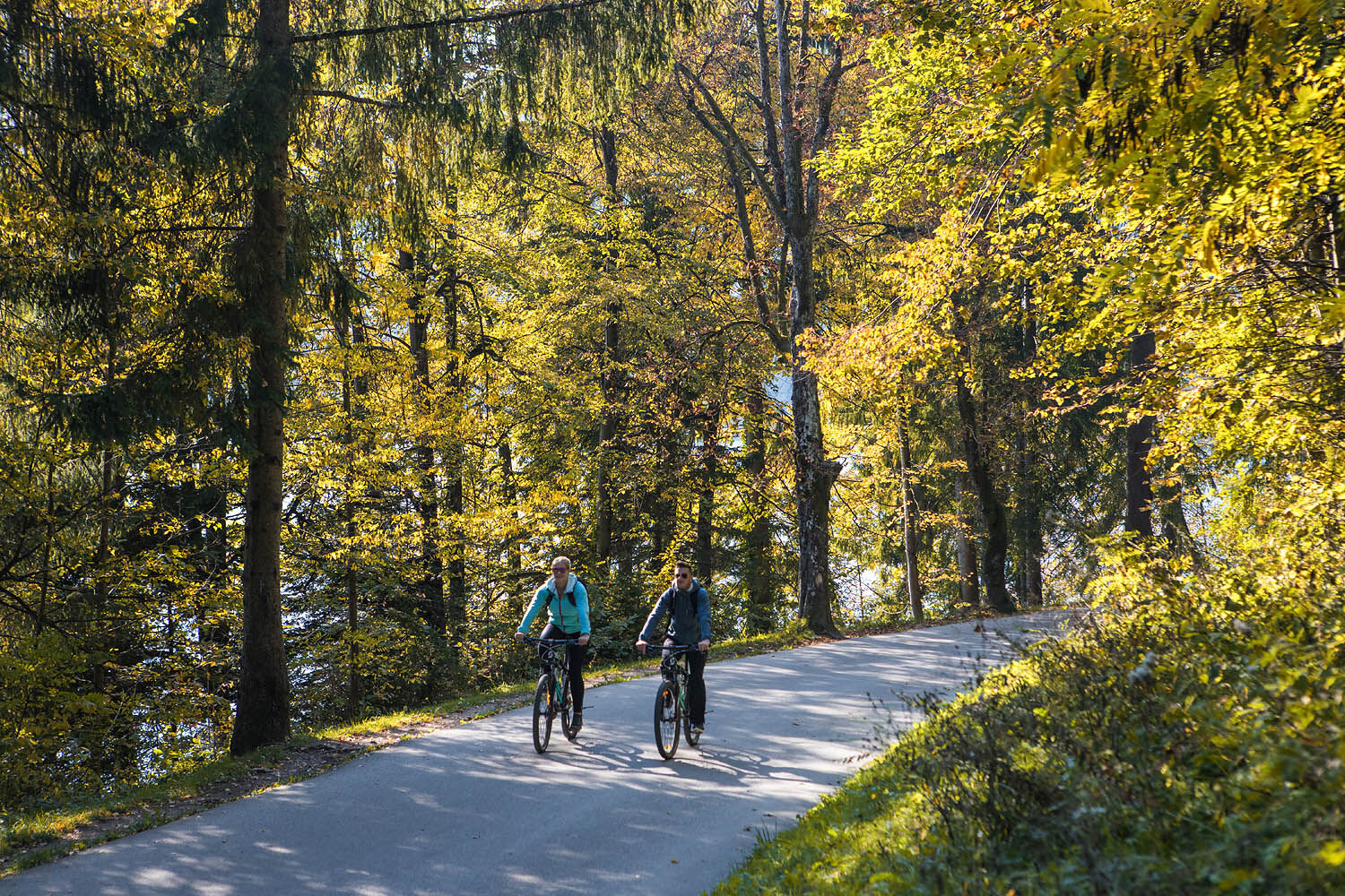
- Brief description
-
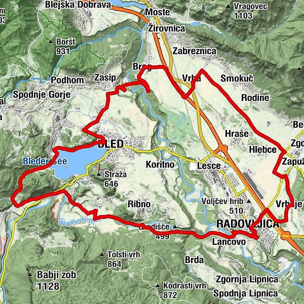
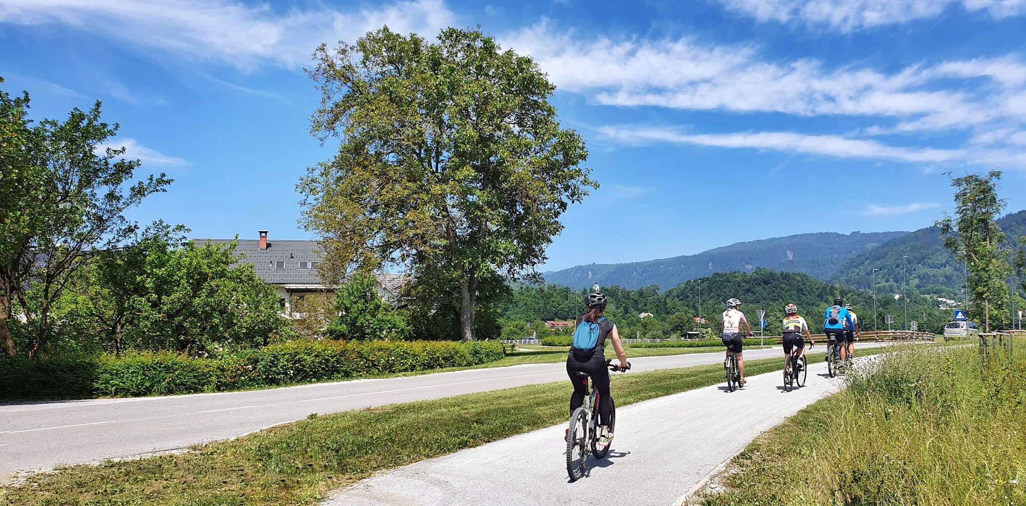
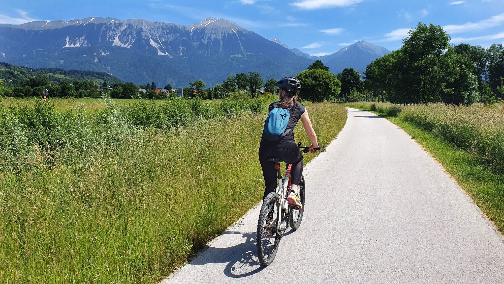
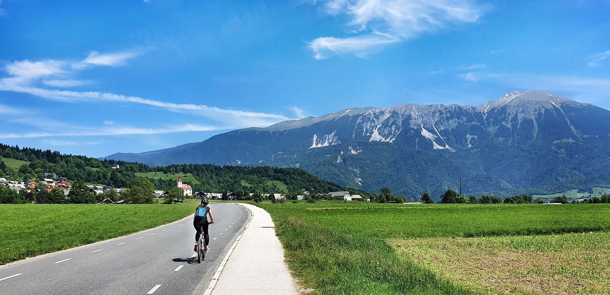
A scenic bike ride that, together with visits to attractions, fills the whole day. The route leads from Radovljica alongside rivers, across meadows and through forests to Bled.
- Difficulty
-
medium
- Rating
-
- Starting point
-
Tourist information centre Radovljica
- Route
-
Gostilna Lectar0.1 kmRadmannsdorf0.6 kmLancovo1.3 kmLog6.8 kmRestavracija Zaka13.1 kmBled15.0 kmZasip17.6 kmBreg (536 m)20.7 kmVrba (535 m)23.6 kmBreznica24.1 kmHlebce27.8 kmNova vas pri Lescah29.7 kmVrbnje30.8 kmRadmannsdorf33.1 km
- Best season
-
JanFebMarAprMayJunJulAugSepOctNovDec
- Description
-
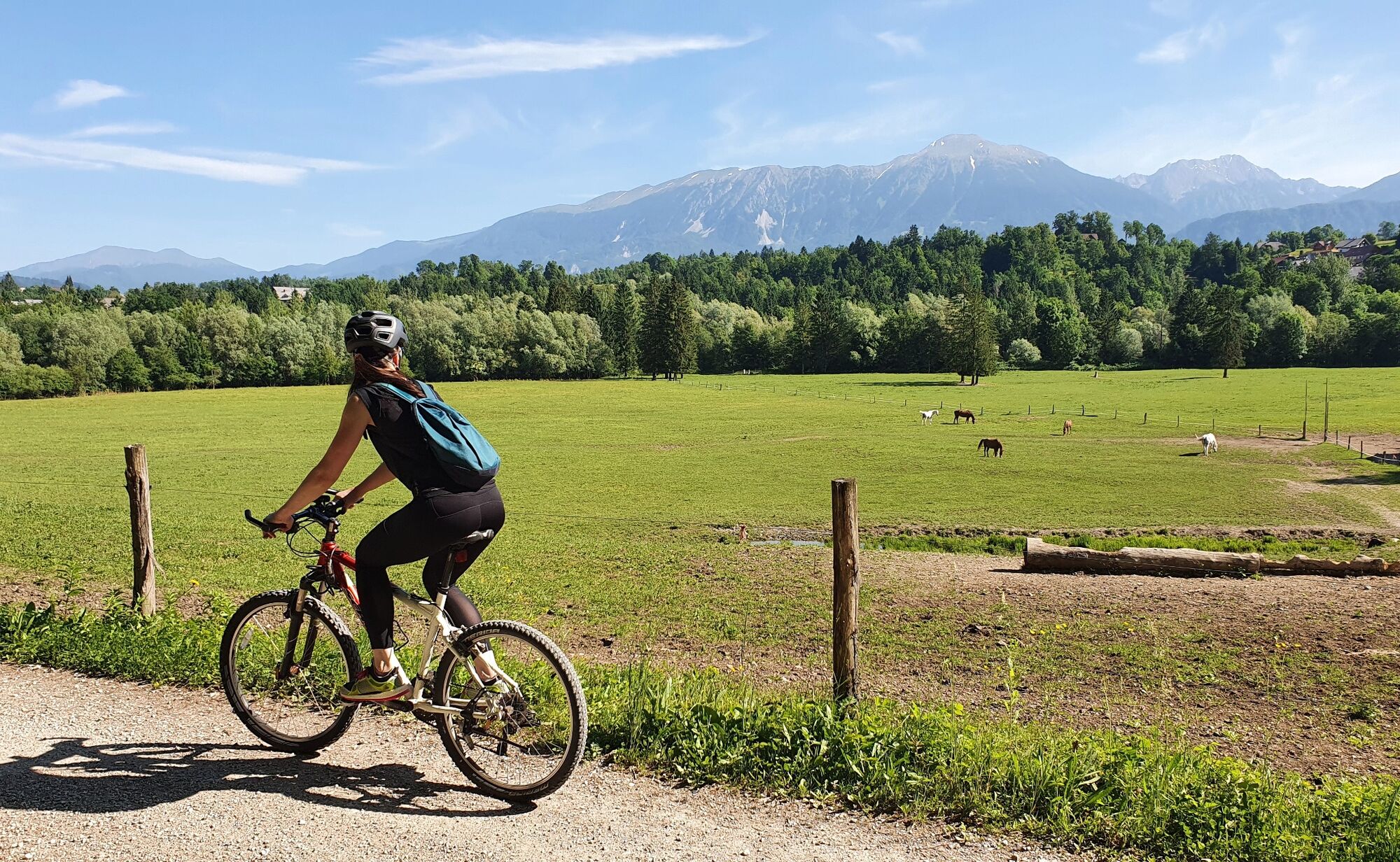
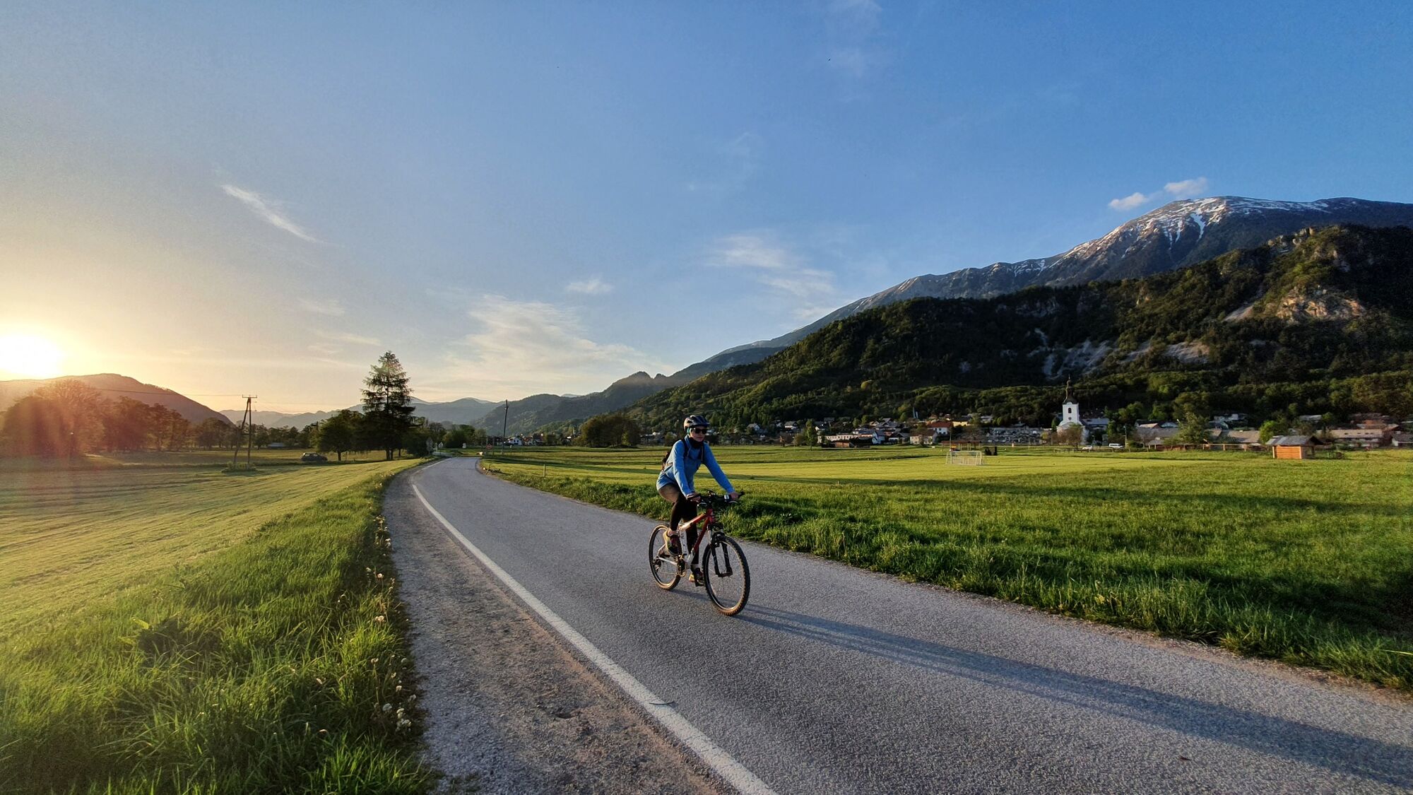
From Radovljica set off to the Sava river valley and cycle along a macadam road beside the Sava Bohinjka river. The route continues past picturesque meadows and to the outskirts of Bled before leading through Bohinjska Bela steeply upwards into the forest. The route descends on a forest cart track to the shore of Lake Bled beneath the peak of Ojstrica (optional hike up to the viewpoint). From there you cycle around the northern shore of the lake to the centre of Bled. Continue through some of the lesser-known streets of Bled, which reflect the town's former village past, towards the village of Zasip. Descend to the Sava Dolinka river one final time then ascend on the other side to the village of Breg. From the village a more or less flat cycling route leads through vast fields through Vrba, the birthplace of Slovenia's most famous poet, along the so-called Emperor's road, then through Vrbnje back to Radovljica. The Countryside Ride to Bled is a slightly shorter version of this route.
- Directions
-
Standing outside the Tourist information centre in Radovljica, follow the narrow street leading south-east onto the colourful Linhart square in the old town centre of Radovljica. Cycle right through the square (or take time for morning coffee in one of the many excellent bars and restaurants!), than turn right at the first street branching off the square to the right hand side (road sign: No admittance for vehicles). This short street bring you to a fabulous viewpoint at the former town gates of medieval Radovljica. Turn right, and descend down a road leading beneath the former town walls and residential houses. Cross the railway overpass and continue cycling downhill towards river Sava (broad views of the valley bellow).
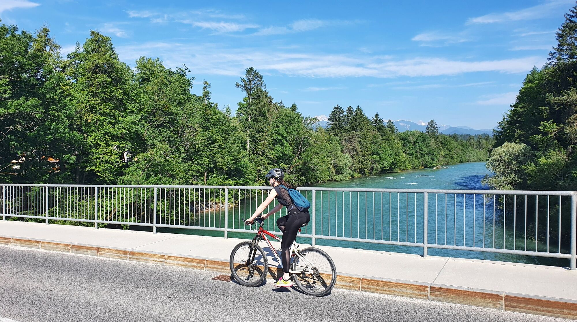
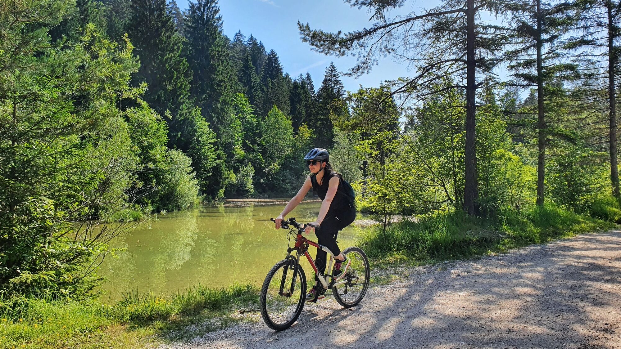
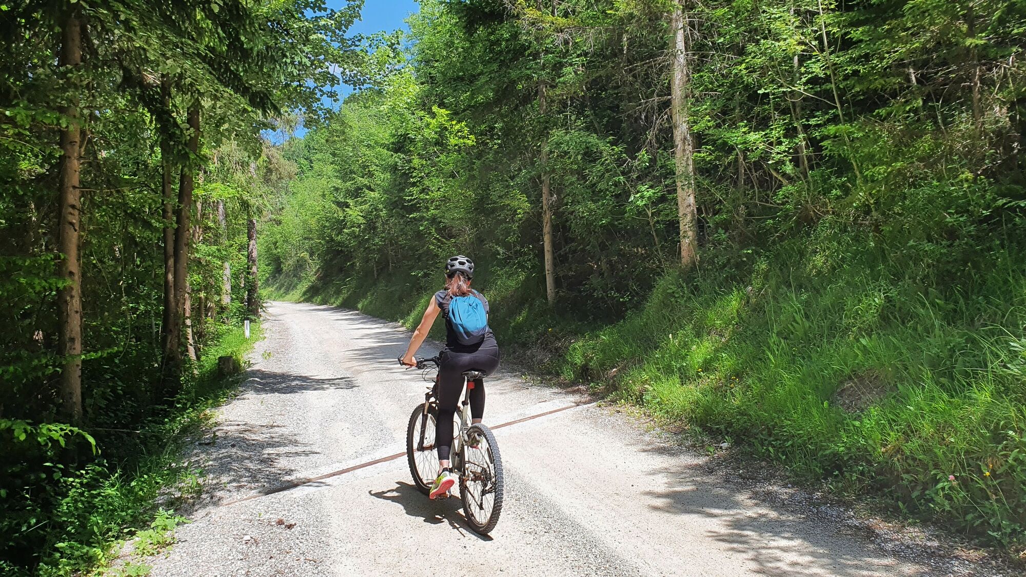
After about 600 meters, you will come across the main road. Join it carefully, turn left and cycle downhill to a large bridge across river Sava. As soon as you cross the bridge and reach Lancovo, turn right and follow the village street running up-stream the Sava river. Ignore the streets branching off to the left-hand side and stay on the levelled road at the bottom of the river valley. Reaching the Y-shaped fork, take the upper/left road (signpost: Bled). The road gently elevates to the forest on the right-hand side bank of river Sava Bohinjka (you are in close proximity of the confluence of the two "sister" rivers Sava Dolinka and Sava Bohinjka) and the surface changes from asphalt to gravel. If you will be fortunate not to meet to many cars (amidst locals, this a popular by-pass route to avoid Bled's high season traffic jams), you will enjoy fantastic gravel cycling through the shady forest above pristine clear waters of Sava Bohinjka.
Reaching the concrete bridge on Sava Bohinjka river, continue cycling straight ahead on the wide gravel road leading you further up-stream (ignore the ascending trail branching up-hill on the left-hand side). The road runs alongside the riverbed at first, than moves further away in the riverside forest. After about 1 kilometre you come across a summer camp for the scouts (located on both sides of the road), soon after, a clear wide-open pasture reveals itself on the right hand side (wonderful views of Karavanke mountain range!). In a gradual descend, the road approaches the river again and you reach a T-shaped junction next to another concrete river bridge.
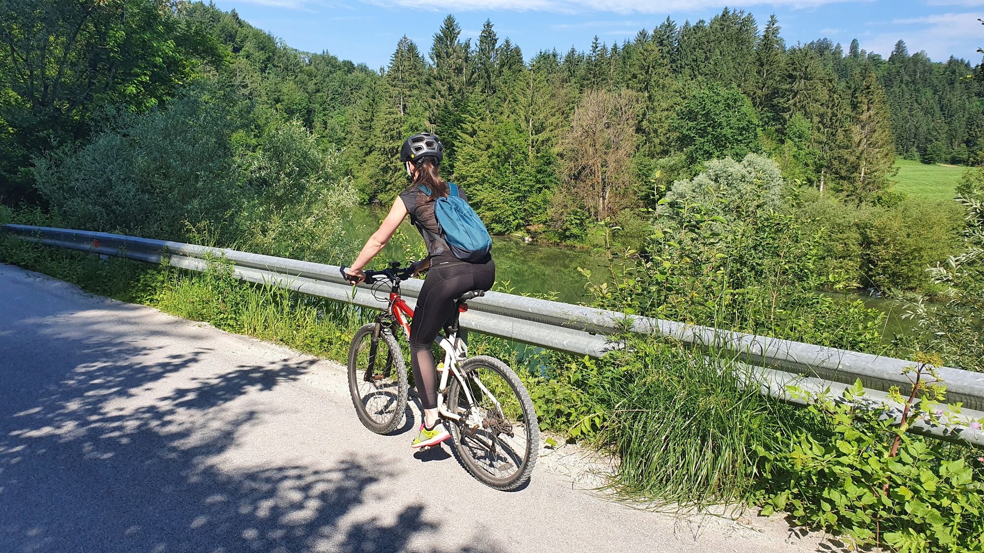
Turn right and cross this bridge. When you reach the other side, immediately turn left and follow a gravel road leading you further up-stream. Even though the river close-by, it cannot be seen from the road due to dense riverside vegetation. However, an interesting natural water pond presents itself on the right-hand side of the road (popular picnic area). Continue cycling in the same direction, and the road will bring you closer to the river again (nice pebble beaches). The forest eventually opens and you are cycling on the edge of wide open pastures on beneath village Selo.
Reaching the crossroads by the next bridge on river Sava Bohinjka, turn right and cycle on the partly paved road leading towards the village. Not for long though: after about 200 meters you turn left again (football pitch and barn on your right-hand side,) and follow the gravel road leading diagonally across the pastures (isolated farm on your right-hand side). It seems, as if the road leads you back to the river again, however you soon reach a Y shaped fork where you turn right (and away from the river again). Follow the wider gravel road leading you across pastures, fields and hay-meadows towards north-west. Stay on the widest road, ignoring all cart-tracks branching off to the left and to the right-hand side. Reaching the first patches of forest, the road starts gradually ascending and bring you to a Y-shaped junction where you meet an asphalt paved road (STOP sign). Continue cycling in the same direction, using the paved road which gradually descending alongside the electricity power line.
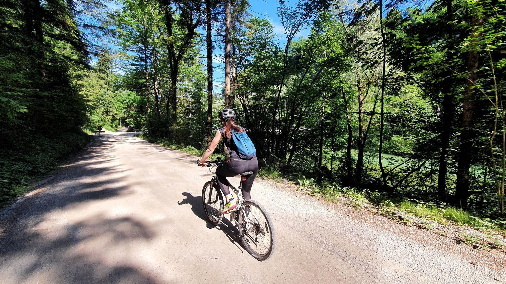
Very soon, the asphalt surface on the road ends and you reach a small bridge next to a saw mill depot. Continue cycling straight ahead on the flat gravel road and ignore the road descending from the right-hand side. Once again, you come to close proximity of Sava Bohinjka river, and for a short while you are cycling right alongside its riverbed. Ignore the bridge and the road leading left and across the river (off-limits, military shooting range), and continue cycling in the same direction. The road suddenly gets very steep, however the paved surface provides good friction on the wheels. This short climb ends on the side of the regional road between Bled and Bohinj. Cross the road very carefully, turn left and cycle downhill on the main road for about 30 meters. You will see a narrow trail branching off in the forest on your right hand side. Carefully exit the main road (kerb) and cycle into the forest. The narrow foot-path soon widens into a splendid wider gravel trail, leading on further west on the edge of the forest. Alternatively you can also cycle down to the main road to the start of the bicycle lane and than turn right and join the gravel field track.
The gravel track distances further and further from the main road (and the bicycle lane), as hay-meadows in-between get wider. The church of St. Margaret greets you from the left-hand side, as the trail brings you to the foot of scenic limestone cliffs (interesting shrine dedicated to Mother Mary carved inside a natural stone cavern). Soon after passing the shrine, you approach the first houses in the village Bohinjska Bela.
Reaching the main village street near the church, turn right and follow the street ascending into the village for about 20 meters. Right after passing-by the first farmhouse, imidiatelly turn right and follow a tiny street leading in-between a picket fence and a small brook. You can go left or right in the Y-shaped junction, for both streets rejoin at the other end of the house. Continue cycling further up the steep narrow village street ascending alongside a small brook. Keep to the left and keep climbing up the very steep village road towards the railway line. Cycle through the small stone-build railway underpass to reach another Y-shaped junction next to a stone-clad house (House name plaque: Pr' Vahtnc).
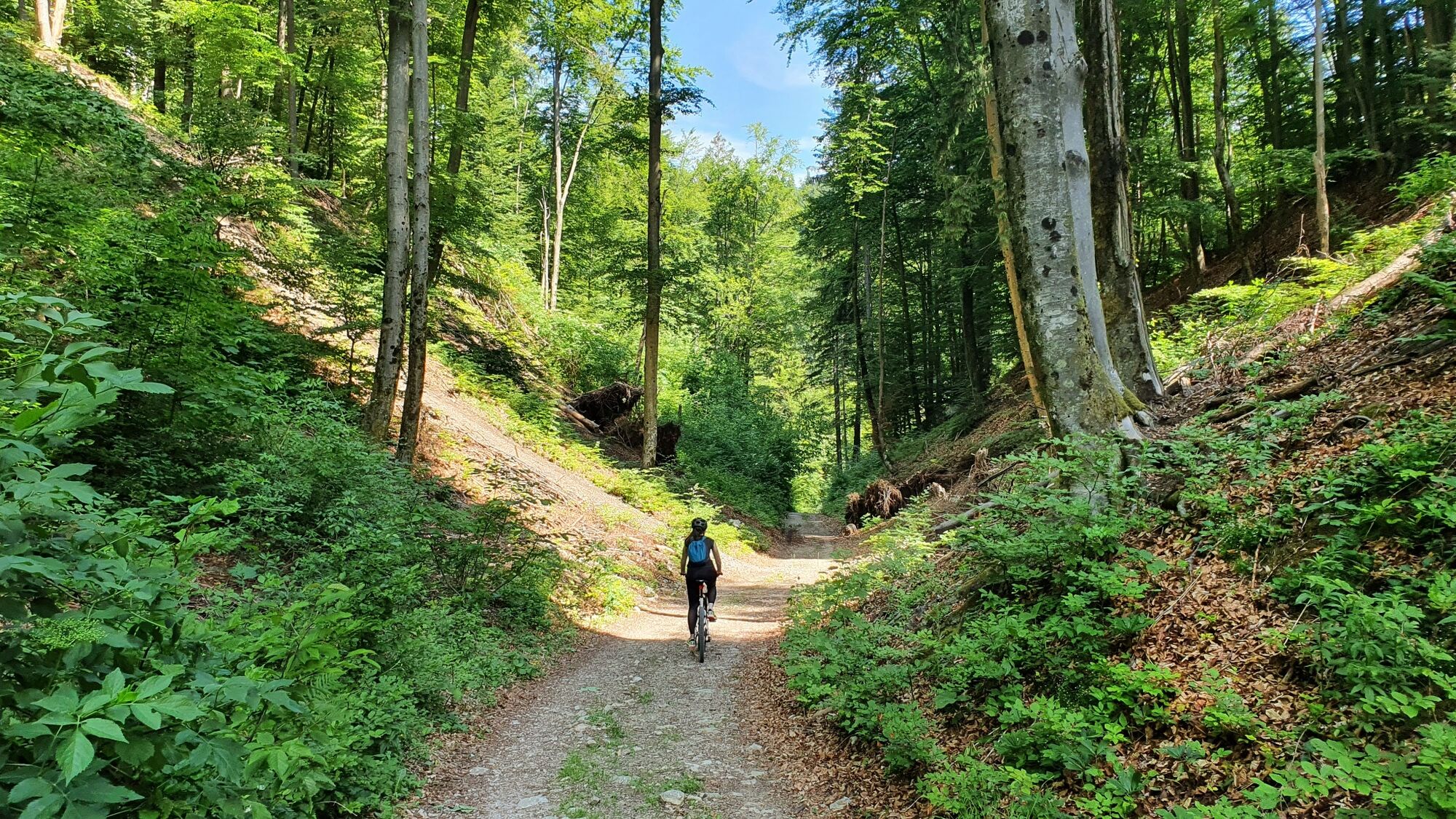
Turn right and cycle across the yard and further following a narrow gravel road running parallel with the railway line below. The gravel track soon becomes narrower and starts ascending in a rather steep traverse. After a few minutes of intense climb the forest track levels for a short while (a chance to catch some air), than climbs right up again in a steep left-hand side bend. Reaching the top of a small saddle continue cycling straight ahead (ignore the log skidding track on your left-hand side) and start descending down the forest track. Reaching the railway line (tunnel exit) and an isolated house in the middle of the forest (former railway section house), turn right in a S-shaped bend and cycle underneath the railway line (underpass).
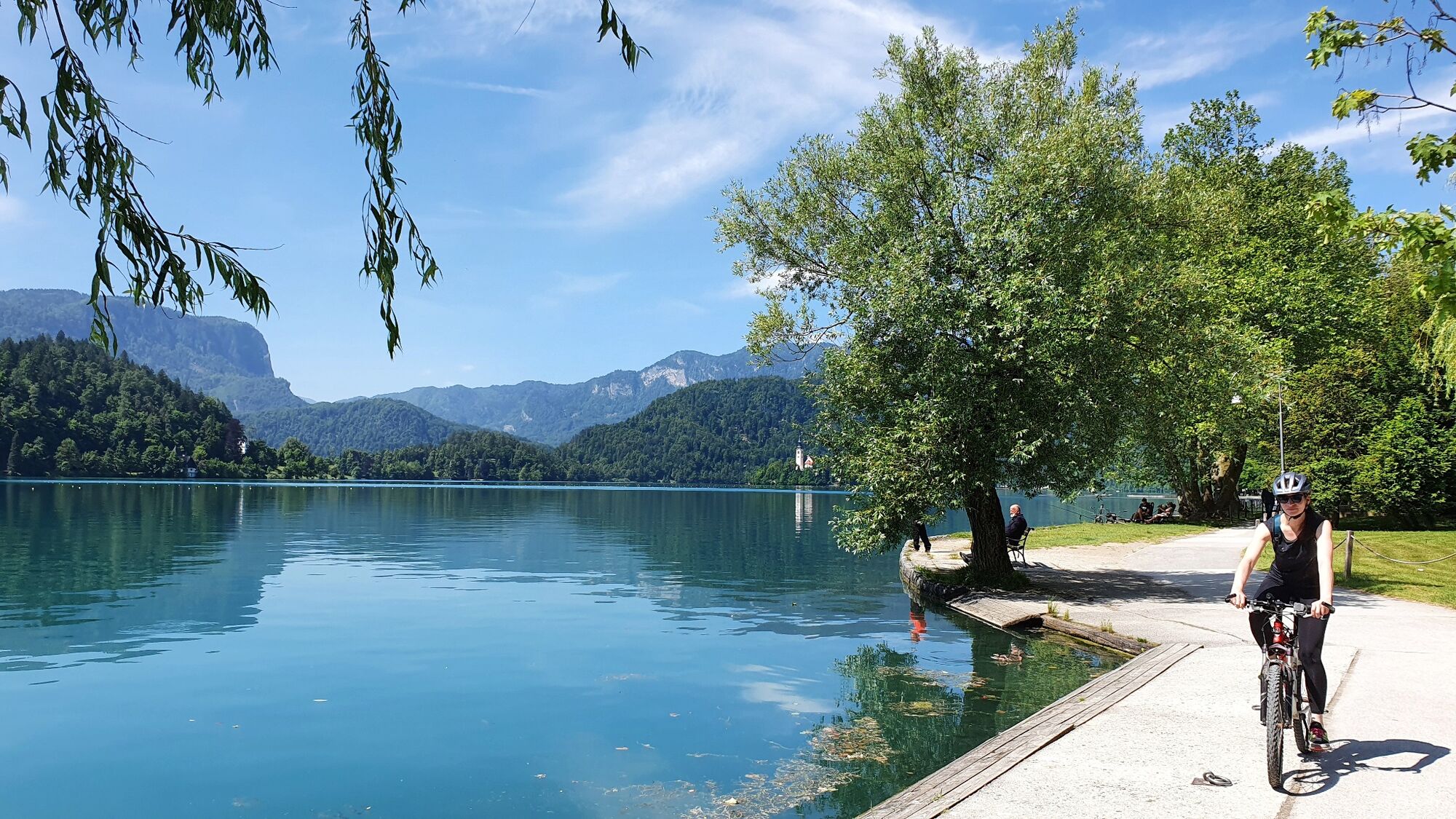
The road now continues beneath the railway tracks and approaches a large camping area (Camping Bled). Cycle further on the gravel road, gradually descending alongside the campsite fence. The gravel road ends on the busy lakeside promenade of lake Bled, right next to the popular gravel swim beach in Zaka (great opportunity for a refreshing summer swim!).
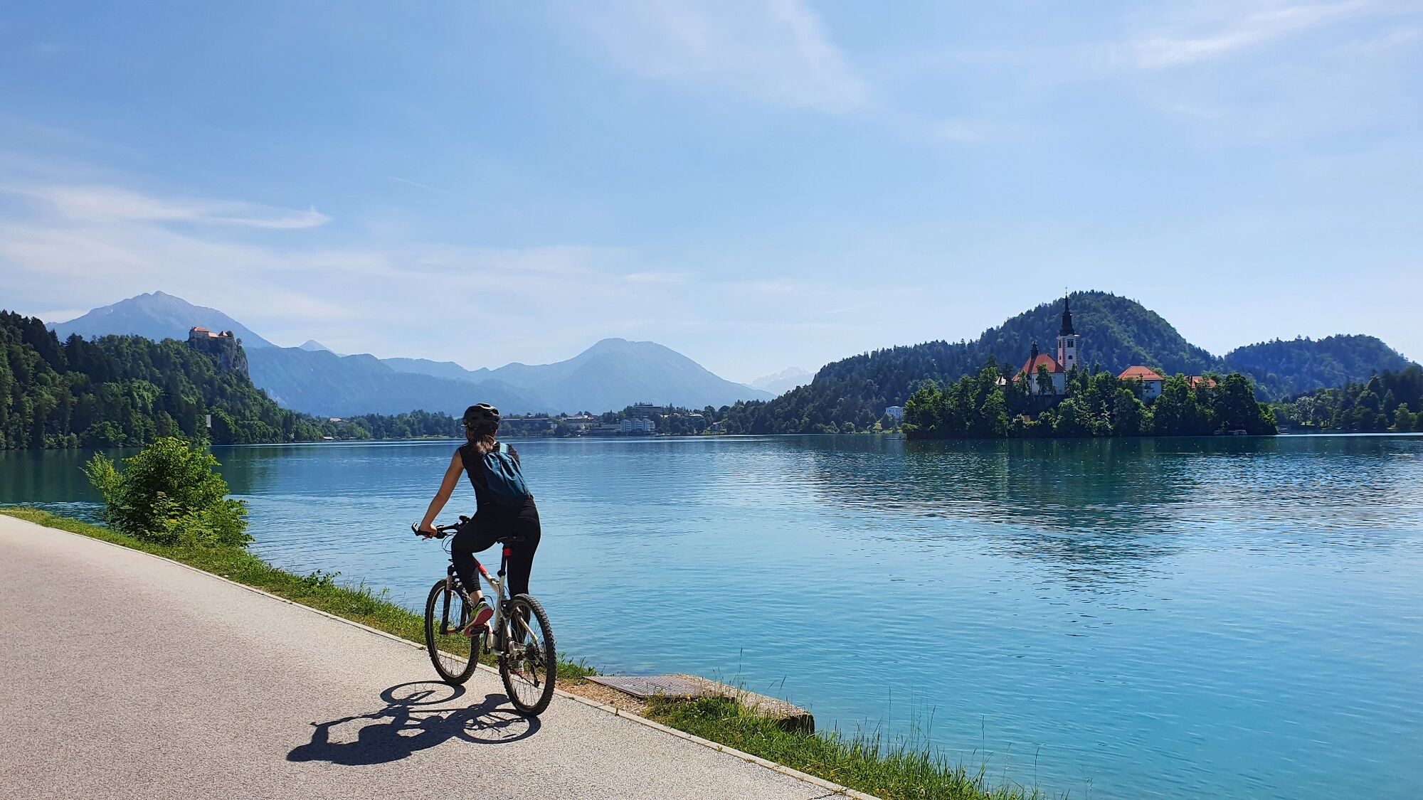
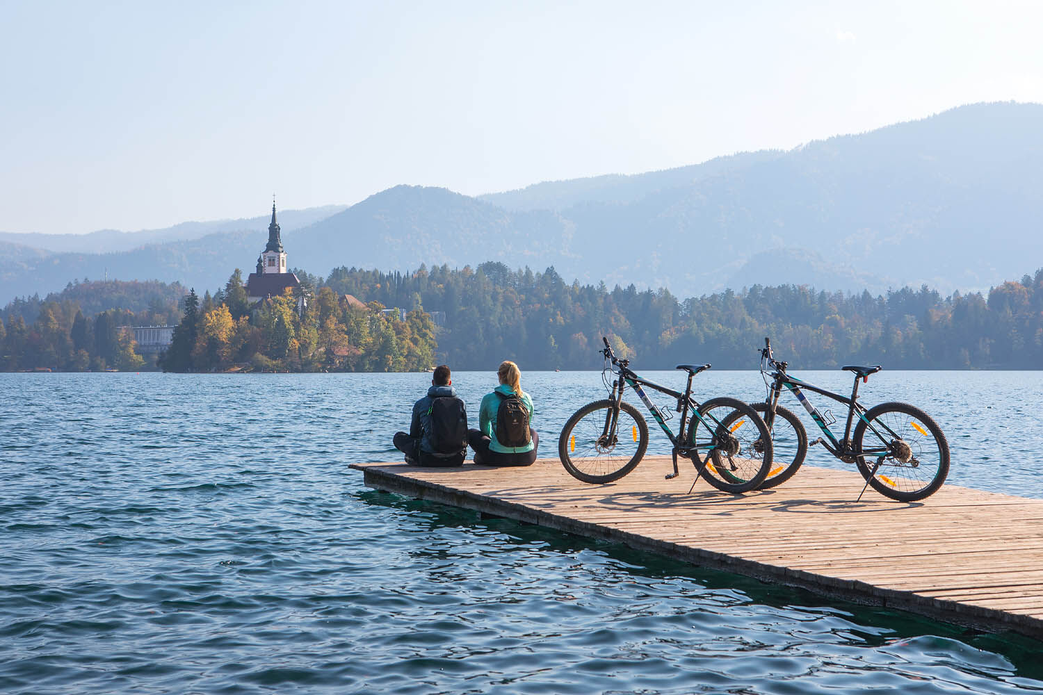
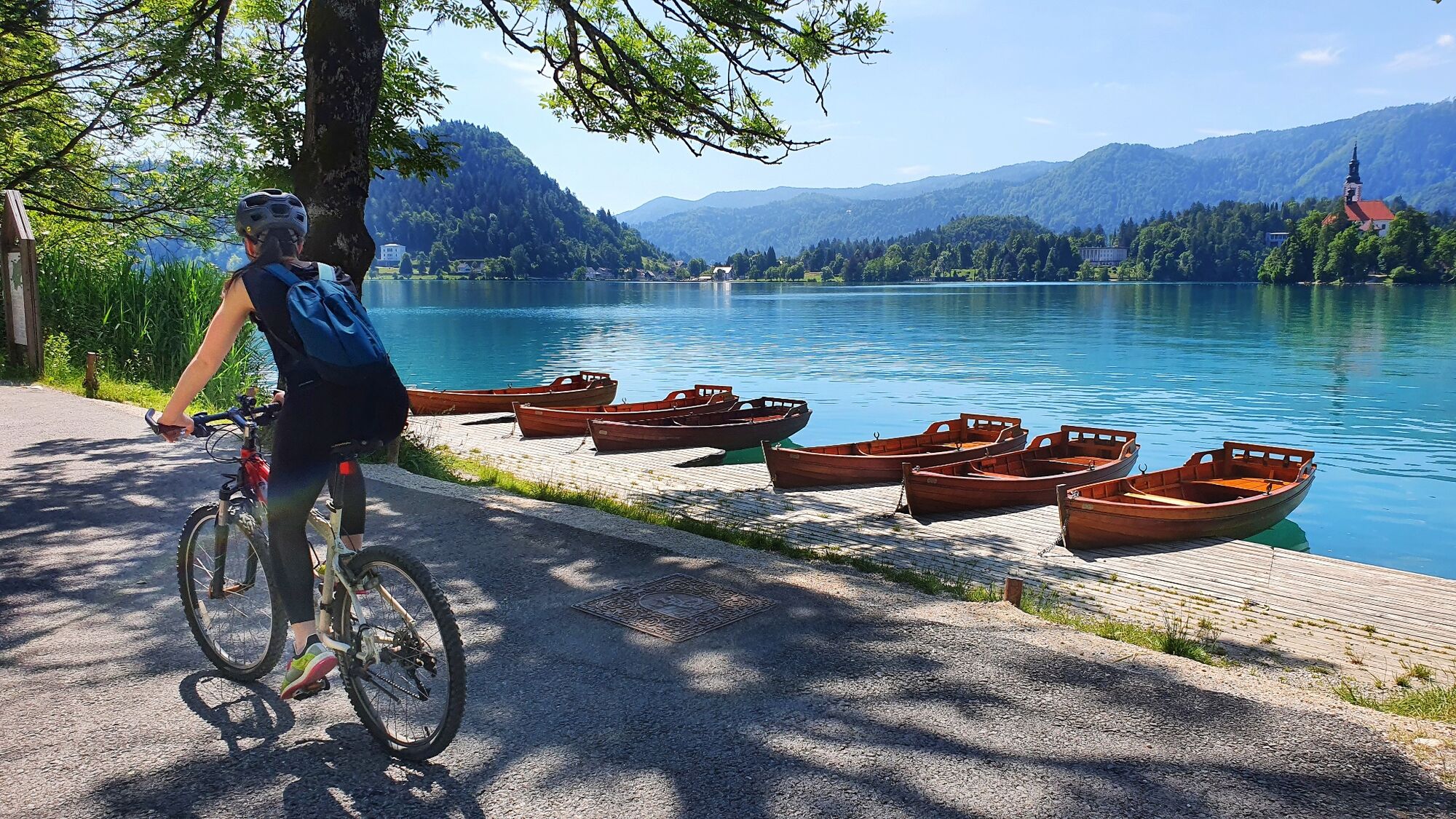
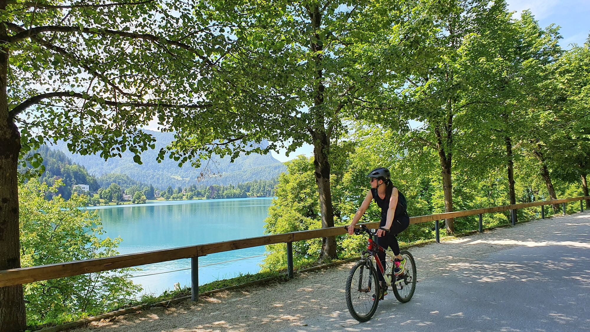
After having taking in the iconic views of Lake Bled, it's island and the castle, turn left and cycle on the lakeside promenade. Though the promenade is closed for motorised traffic, it's ussually strewn with pedestrians walking in both directions. Please be careful and respectfull towards pedestrians, after all, this is "their teritory".
Reaching a small bay with bathing area (rowing training centre), continue cycling on the lakeside promenade, ignoring all roads leading up-hill to the village. The stunning lakeside promenade takes you right beneath the castle cliffs (luxury historic private villas) towards the hotel area. After approaching St. Martin's parish church (pointed church bell tower) the road descend to a small park area (landing post for traditional "pletna" boats).
You can choose to explore the remaining shores of Lake Bled, or continue the tour by turning left and cycling up the hill towards hotel Bled Rose . Turn left after passing-by the traffic barrier (signpost: St. Martin's church), and cycle pass the Bled Rose Hotel towards the main Bus station. Reaching it, turn left and cycle up the street pass the "Pri Planicu" pub. Choose the road on your left and cycle by the Murka Restaurant. Turn right at the first junction (pizzeria on your left-hand side) and pedal up-hill. Reaching the small roundabout with a linden tree, turn left and cycle towards the youth-hostel at the top of the hill. From here, the road descends down the hill again and brings you to an Irish pub and a larger parking area.
Cross the main road carefully, continue cycling straight ahead an you will end directly on the bicycle/pedestrian lane leading further you further in the same direction. When the bicycle lane approaches the northern Bled ring road, it makes a right turn and follows the course of the road towards north-east. Follow the lane all the way to the traffic lights, than turn left on the village street. Keep in mind, that you are no longer on a lane reserved for cyclists and this is the main street through the village Gmajna (part of town Bled). Cycle on the road right through the village, ignoring all side roads and village streets. Coming out of the village (road sign: you are exiting Bled), continue cycling on the road leading you across the fields towards village Zasip (north).
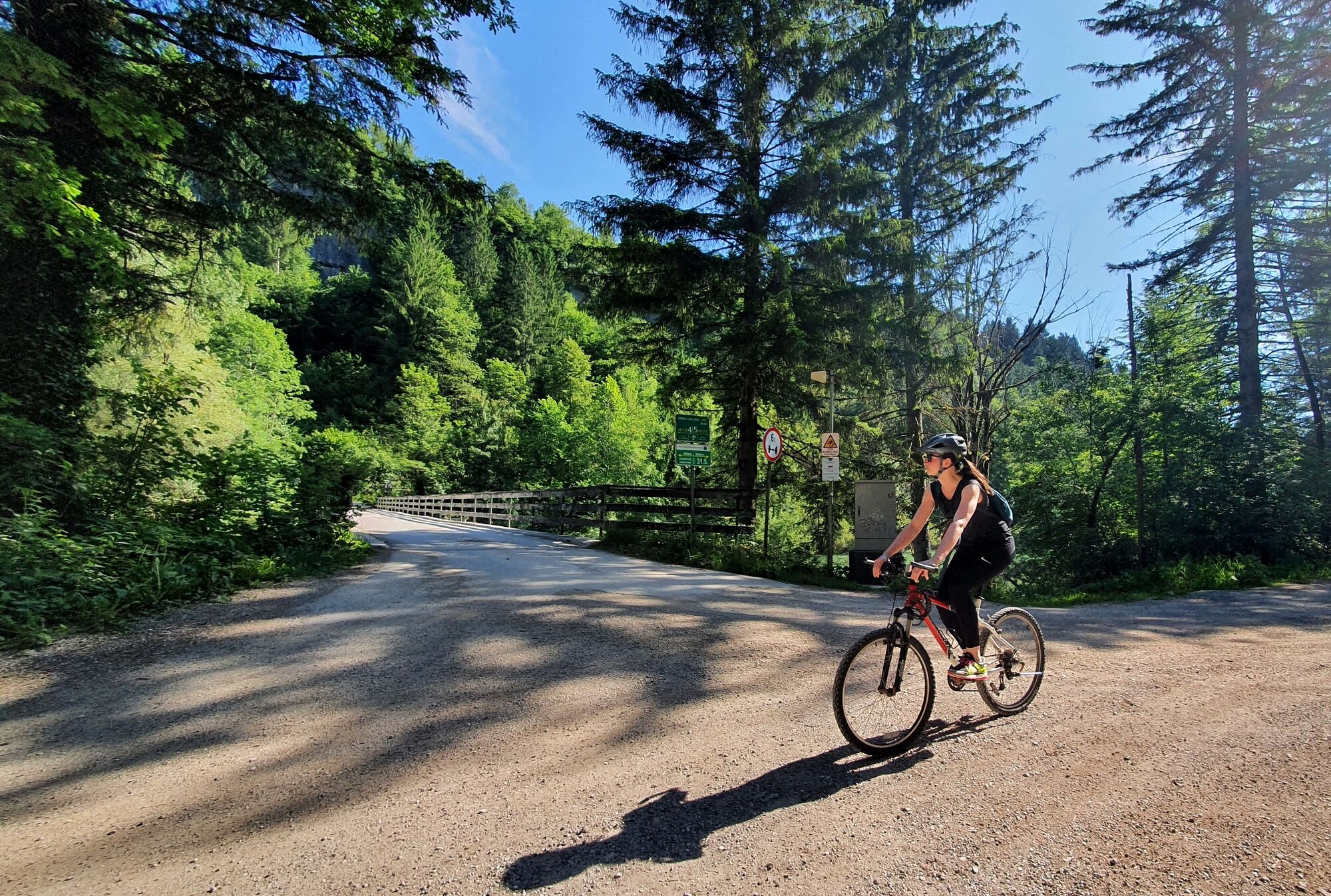
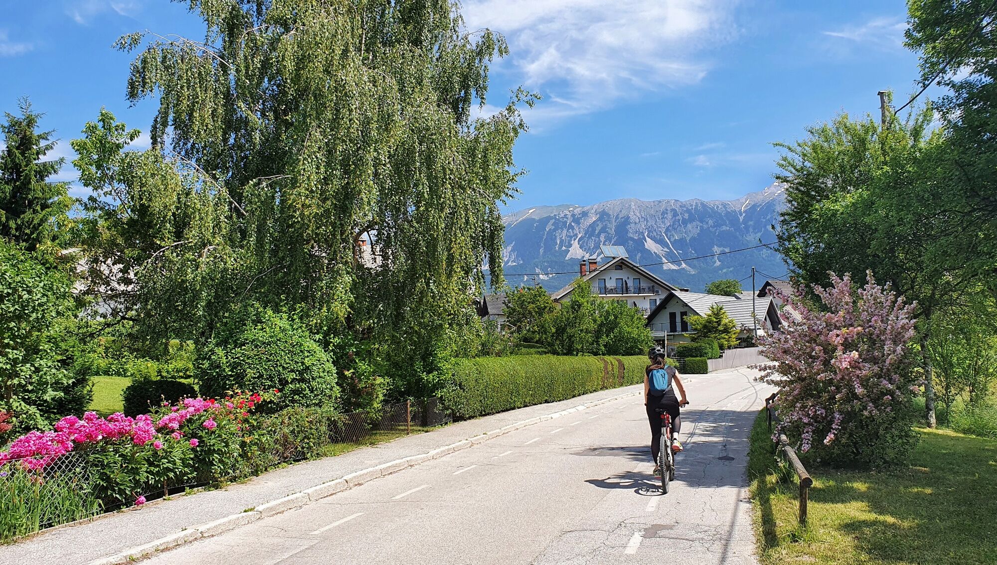
500 meters after exiting Bled, you will reach the crossroads in-front of village Zasip. Turn right (road sign: Piškovca) and follow a paved road leading east. At the crossroads at the edge of a natural terrace stay on the paved road which bends to the left-hand side and drops steeply into the river valley. Though the road surface enables fast descent, be careful on the road. Many locals are using it as alternative access to Bled in summer season. Reaching the valley floor, ignore the gravel road branching off to the left and continue cycling across the bridge.
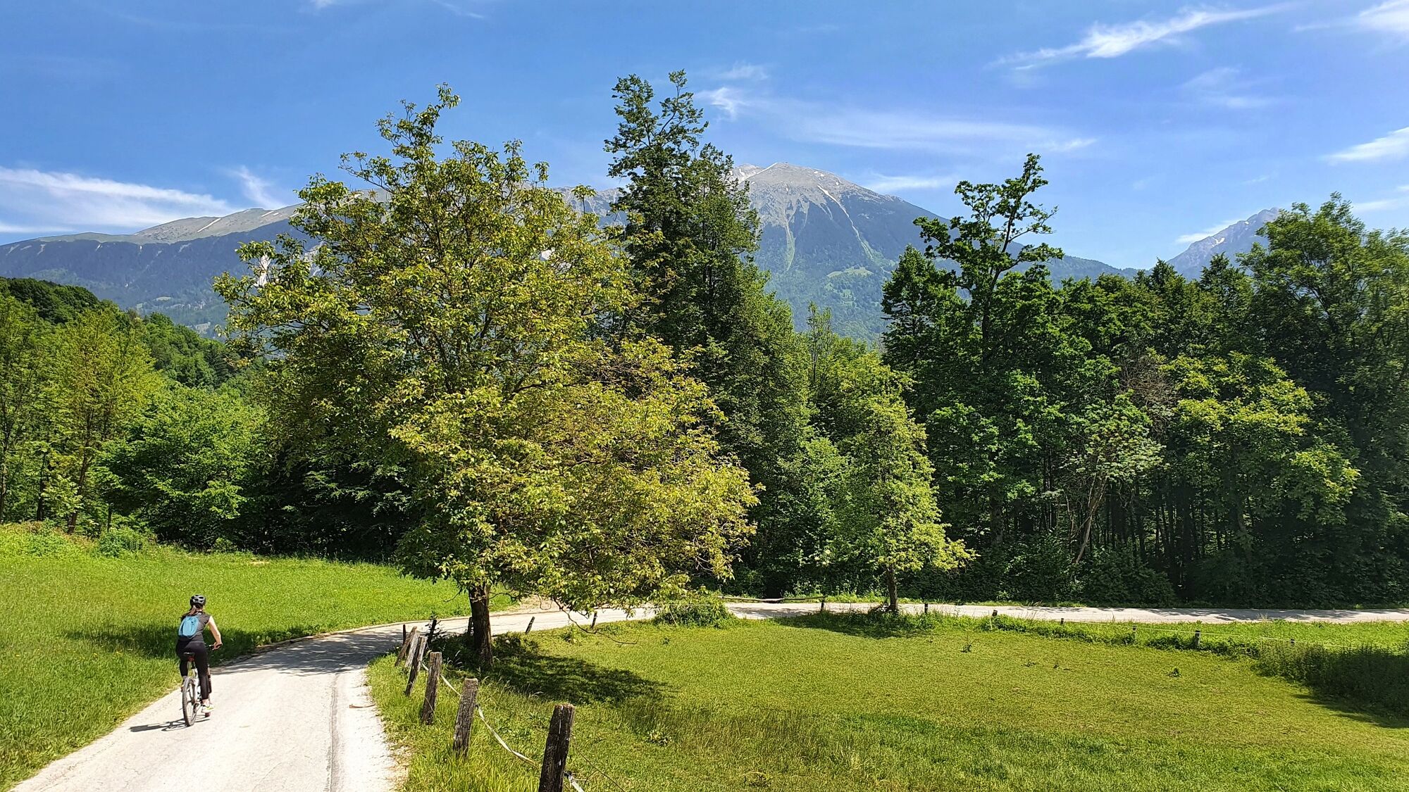
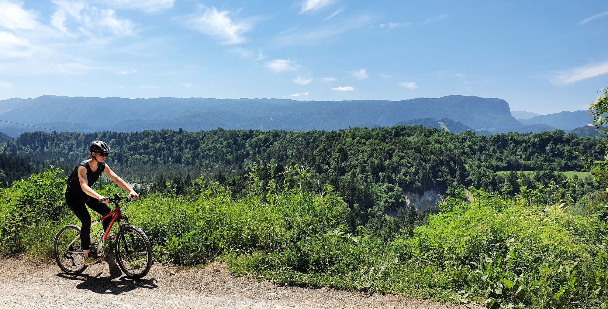
The road surface turns to gravel at the northern side of the bridge, and the road gradually ascents up the shaded forest. In just one long turn, the forest road brings you to the top of the river terrace on the other side of the valley (just before reaching the top, some wonderful views of Julian Alps can be enjoyed from the gravel road).
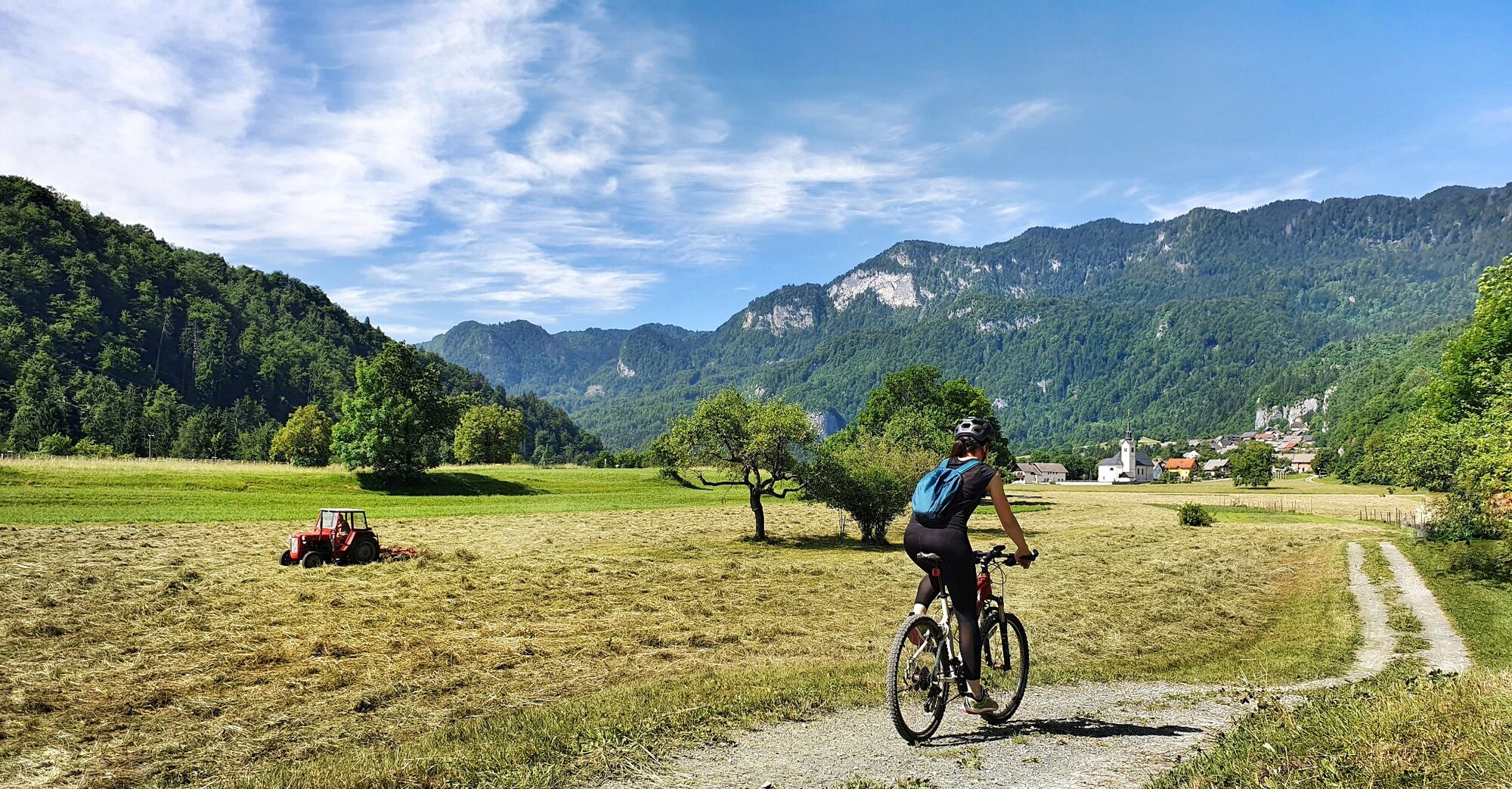
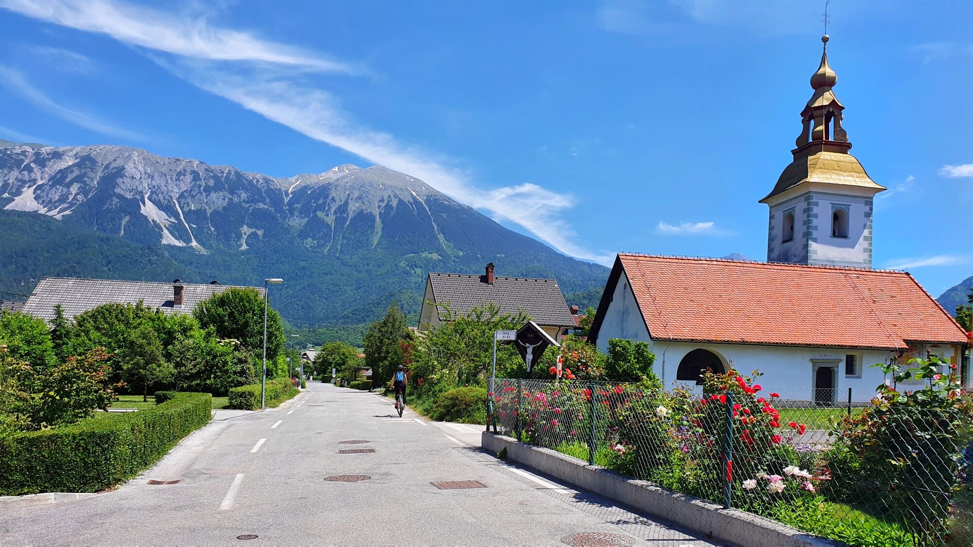
As soon as you come out of the forest, and the climbing stops, you find yourself on the main street of village Breg. Follow it (ignoring all side streets and driveways), until it brings you to the ancient church of St. Radegund. Follow the street which branches off to the right-hand side just before the church. Before you know, the street ends and you are cycling on gravel field road with stunning views of Mt. Stol and the Karavanke range. The road approaches the motorway, turns to the right and follows the motorway course. After 1 km the gravel road meets the railway and follows it's course for a short while. When the cart-track meets a wider gravel road, turn left and cross the railway tracks very carefully (unprotected railway crossing!). After 100 meters the gravel road overpasses a motorway and continues further in the same direction (north-east, church of. St. Mark in village Vrba).
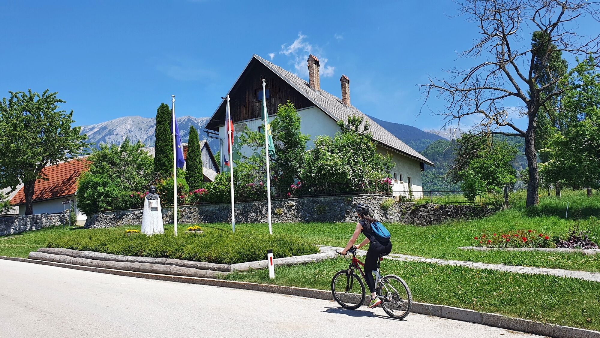
After 300 meters you will reach the intersection with the former regional road (STOP sign). Though visibility is very good, and there is much less traffic on the road these days, please be very carefull crossing the road (some drivers tend to drive really fast on this section). Once reaching the other side of the road, pedal up-hill to village Vrba. Soon you will come across a bronze monument on the right-hand side od the road, followed by a museum (memorial house). Vrba is a birth place of France Prešeren, Slovenian national poet, deeply loved and honoured by Slovenian people.
Cycle pass the museum house on the main village street to reach an interesting A-shaped junction dominated by large linden tree surrounded by stones (they used to serve as seats for village elders during sessions of the village "parliament"). Turn sharply to the right-hand side and continue cycling on a narrow street leading in-between farms and barns. Coming out of the village, follow the straightforward road leading you towards the mountains and St. Mary's church in Breznica.
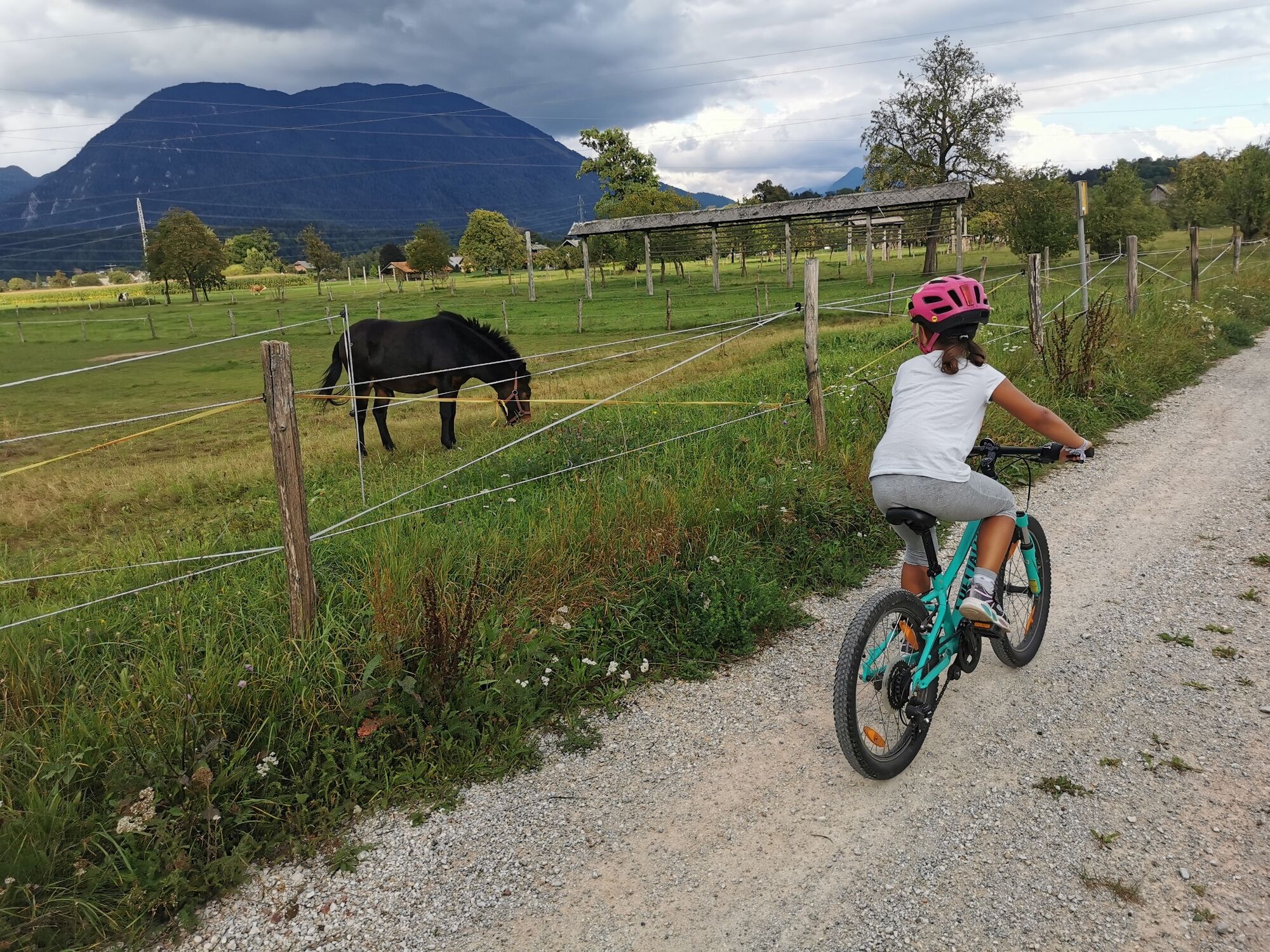
About 500 meters after leaving the village, you will reach an intersection with a wider paved road running straight across the fields (shrine on your right-hand side). Turn right and follow the field road across wide-open landscape. After passing-by a horse ranch on your left hand side, the road surface turns to gravel.
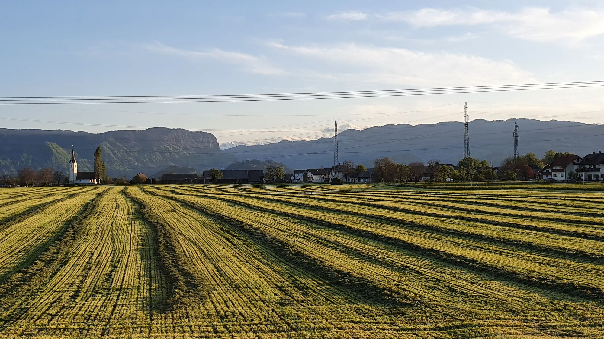
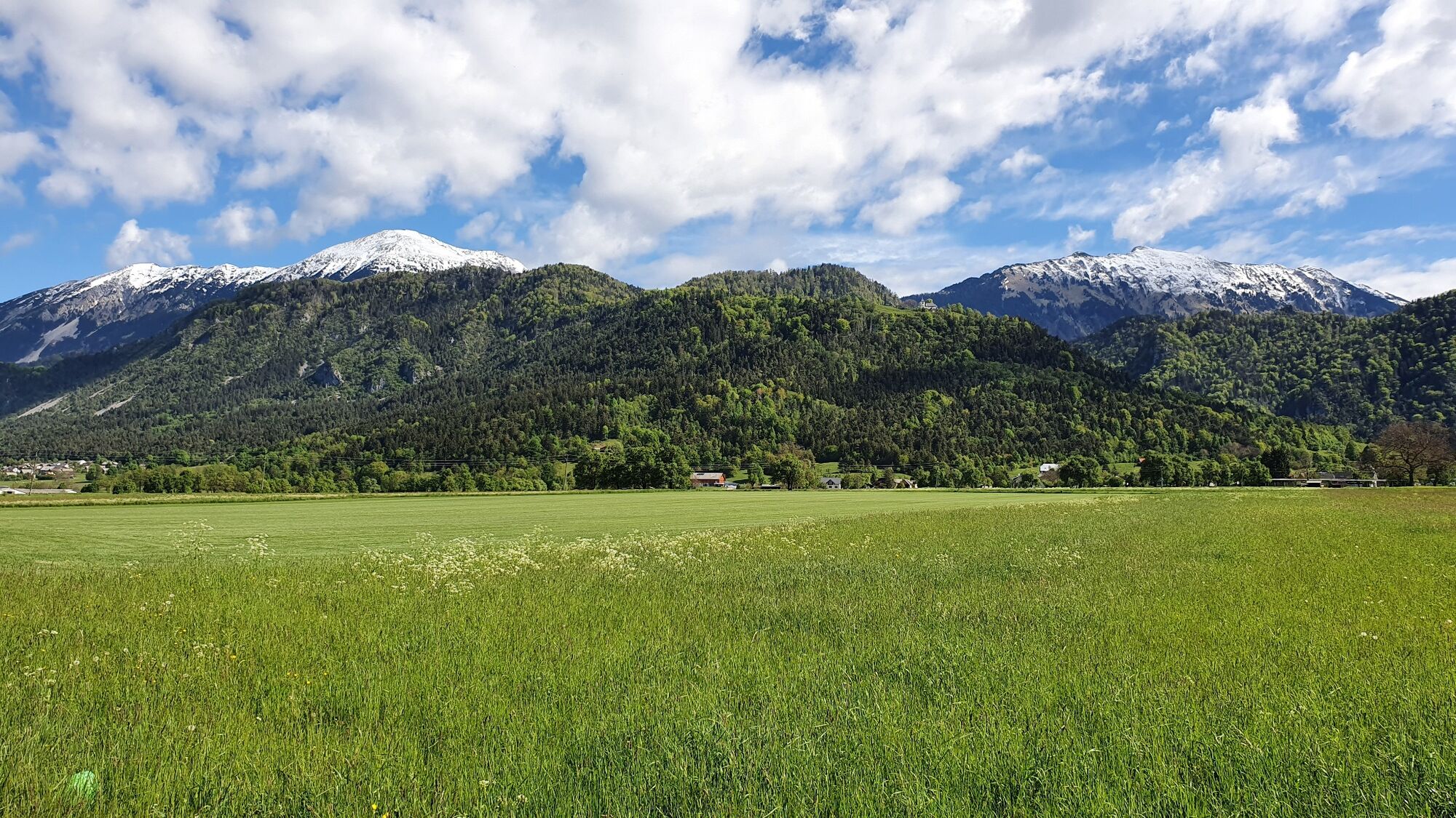
For the next 4 kilometres, you are cycling straight ahead on the wide dusty field road, ignoring all side roads joining from both sides. The road is more or less car free and you can truly enjoy cycling with breathtaking views of surrounding mountains. However, be careful in the intersection with local (asphalt paved) road outside village Rodine!
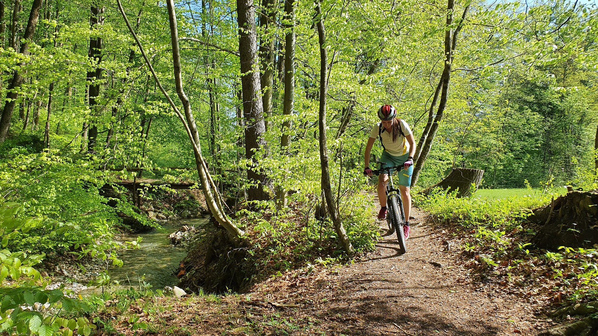
Reaching a second intersection with asphalt road (Begunje - Lesce road) (WWII memorial plaque) stop and look for the passing-by traffic. When the road is clear, turn right and cycle on the road for about 20 meters, than cross the main road and join a field gravel road leading south/south-west pass the catholic shrine (column). Pedal "full speed ahead" for nearly 1 km, ignoring all field tracks branching off to the left. When the road suddenly bends to the left (wooden crucifix), turn left at a 90 degrees angle , and follow a cart track leading straight ahead. Passing by occasional hay-racks and orchards, you will enter the village Nova vas next to a large historic farmhouse. Carefully join with the principal road, and turn left. Cycle up the village through the bend, than turn immaterially to the right into a quiet village road. In the fork by the hedge, turn right (signpost: Ski servis) and follow a tiny road alongside a hedge fence (newly built houses to the right hand side). Suddenly the road ends in a private yard, while a narrow cart track continues straight ahead in the same direction. Follow the track leading straight ahead into the forest (direction south). A pleasant quiet forest trails leads you alongside a (sometimes dry) riverbed to a narrow wooden footbridge.
Cross the bridge and follow the leading further in the same direction to an large farm. Reaching a T junction in the middle of the village (wooden crucifix), turn right and pedal on the principal village street through Vrbnje. Soon you will reach a Y fork (another wooden crucifix), where you keep left. A narrow village road leads you between the residential houses on the left, and wide open fields and meadows on the right-hand side. In the junction with a wider road, turn right (direction: west) and pedal towards the large Dolenc farm (fresh dairy product shop!) and further alongside the motorway. Reaching the main road and motorway underpass, turn left and cycle towards the traffic lights. Continue straight ahead, pass the SPAR supermarket and downhill alongside the main road into Radovljica.
Before reaching the main bus station, a tiny cart track branches off to the left in-between parking area and fruits&vegetables market (signposts: Juliana, Pusti grad). Make left turn, carefully cross the road and descend down towards a health food store/pharmacy. From here, the cart track leading beneath the high stone built walls leads you towards the old town centre of Radovljica. A very special treat awaits you at the end: turn right by the yellow house (signpost: Juliana) and cycle into (what seems to be) a tunnel. It's actually a former town moat, one of few of such kind. Reaching the other end of the tunnel, turn sharply to the right and climb up to a tiny square in-front of tourist information centre in Radovljica.
- Highest point
- 593 m
- Endpoint
-
Bled
- Height profile
-
 © outdooractive.com
 - Equipment
-
a technicaly flawless bike mountain bike, trekking bike or gravel bike
backpack
helmet, gloves, sunglasses
rain jacket, extra shirt
food and drinks from backpack
spare inner tube, pump, multitool, basic personal first aid kit
personal document (ID card), health insurance card
- Safety instructions
-
Be cautious at the crossing of the old regional road outside village Vrba.
- Tips
-
Don't forget to pack a towel and a swim suit! The delightful descent on the forest track ends directly on the gorgeous pebble beach in Lake Bled.
- Additional information
-
Soon after crossing the bridge on river Sava near Ribno, you will meet a small lake (pond) on your right-hand side. Ribno pond was once a popular bathing area of the locals, today it's mostly used a picnic area. If your backpack is not entirely empty, this can be a good opportunity for a snack. The rocky crags above the village Bohinjska Bela hide a 24 meters high Iglica waterfall. In dry periods, this might not be the mightiest waterfall you have ever seen. However, scaling the vertiginous path to the top of Iglica cliff is a great choice at any time. If you are afraid of heights, you can also simply observe the acrobatic moves of rock climbers from the safety of firm ground.
They say that the visit of Lake Bled is not proper, if you hadn't visited the island church, climbed up to the Bled castle, or tried the famous Bled cream cake.
The birth house of Slovenian national poet France Prešeren in village Vrba, is an "a must" stop for all those who wish to truly understand Slovenian culture and identity. The linden tree at the crossroads of the village streets tells an interesting story of the life in the past. The tree is surrounded by 16 stones, one for every farmhouse in the village. The village elders would once sit on the stones and discuss the important village matters.
Returning back to Radovljica, take some time to explore it's hidden treasures. Did you know, that you can visit Radovljica Manor from the inside and admire it's beautiful staircase? In the first floor, you will find the entrance to two museums: The fascinating Museum of apriculture and the Municipal museum.
- Directions
-
Arriving from Bled:
Use the motorway A2 and take the exit 4 (OMV petrol station). Follow the signs for Radovljica, when reaching the first junction. Turn left and drive towards the town until reaching the junction with traffic lights, than turn left again. Follow the principal road (Kranjska cesta), than Gorenjska cesta for the old town centre.
Arriving from Ljubljana:
Use the motorway A2 and take the exit 4 (OMV petrol station). Reaching the local road, turn right for Radovljica and cross the motorway overpass. Drive towards Radovljica until reaching the junction with traffic lights, than turn left again. Follow the principal road (Kranjska cesta), than Gorenjska cesta for the old town centre.
- Public transportation
-
By train: arriving from the direction of either Ljubljana or Jesenice, exit the train at Radovljica train station, than cycle (push a bike) straight up the steep narrow street (Kolodvorska ulica) leading you directly to the square (roundabout) in front of the Tourist information centre in Radovljica.
By bus: frequent buses connect Radovljica to Bled, Kranjska Gora, Jesenice and Ljubljana. On most Arriva operated bus lines you can load the mountain bike on the bus free of charge,providing there is enough space in the luggage compartment.
From the bus station in Radovljica, cross the main road at the road crossing by the market, than cycle through the park stretching in-front of the Grajski dvor hotel. Turn right at the end of the gravel lane, and you will find yourself on the square (roundabout) in front of the Tourist information centre in Radovljica.
- Parking
-
Most parking spaces in Radovljica are time limited. For mountain biking tours we therefore advise you, to find parking area without time limitation. The nearest such parking area to the old town is in Kajuhova street. After having passed-by the bank (on your left), and the court and high school (on your right-hand side) turn right and follow the street leading pass the school to the edge of a natural terrace above the railway line. Parking spaces can be found on the left hand side of the road. If this parking area is busy, try the parking spaces near the Health centre (Swimming pool) in Kopališka ulica street.

- Author
-
The tour Along Sava River to Bled is used by outdooractive.com provided.


General info
-
Wörthersee - Rosental
192
-
Gorenjska
32
-
Bled
32