- Brief description
-
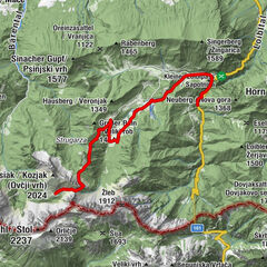
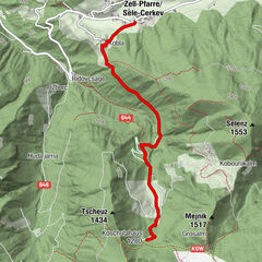
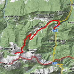
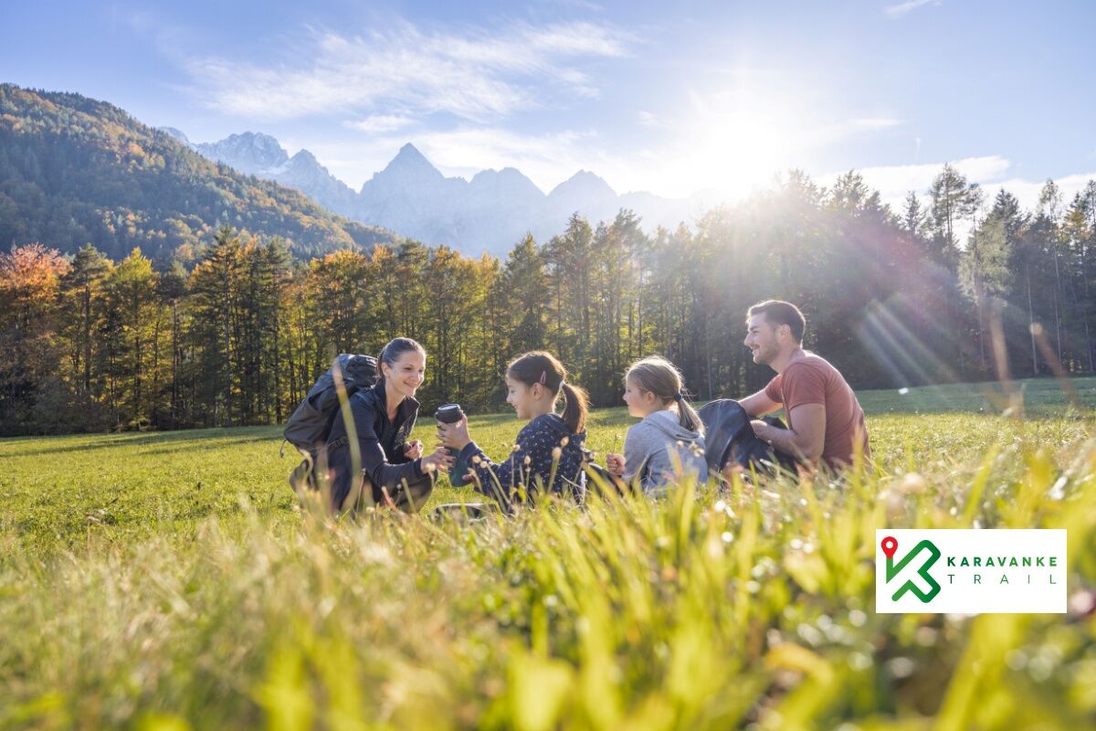
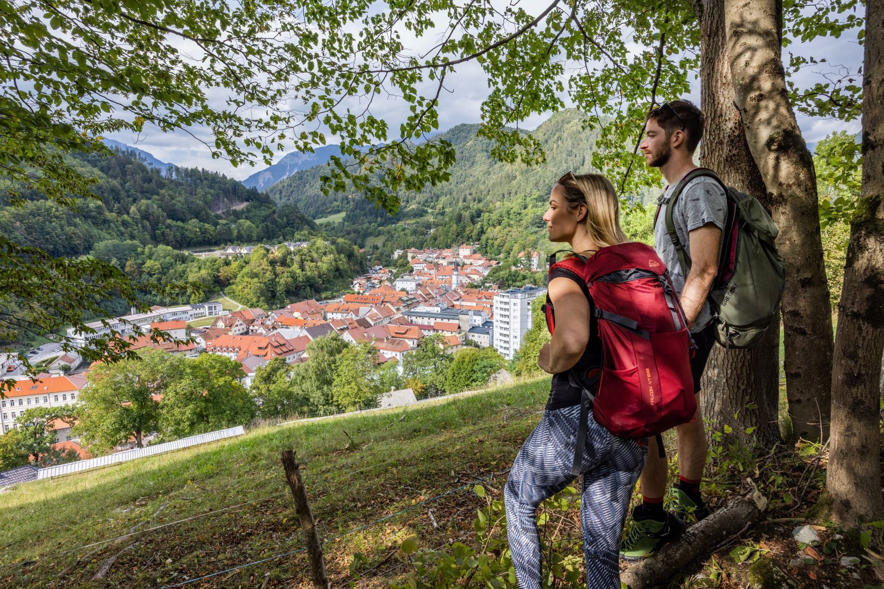
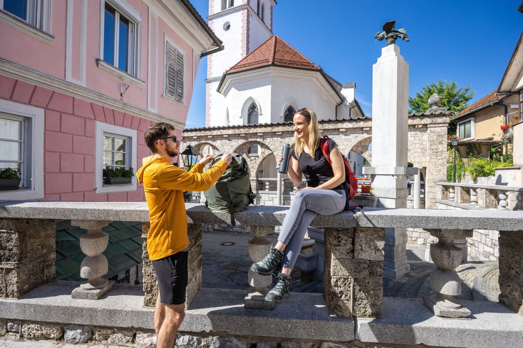
The Karavanke Hiking Trail is a long-distance trail that runs along the slopes of the Karavanke and its valleys boasting with wonderful views of this rugged mountain range. The trail includes seven daily hiking stages ranging from 14 to 28 km in length. The total length of the route is 144 kilometres.
- Difficulty
-
medium
- Rating
-
- Route
-
Seeland0.2 kmStara cerkev sv. Ožbolta1.0 kmGostišče Kanonir6.1 kmBašeljsko sedlo (1,631 m)13.2 kmDom na Kališču14.5 kmZavetišče v Hudičevem borštu17.2 kmIzvir pod Javorovim vrhom19.6 kmVolčje jame (1,245 m)20.3 kmSv. Jakob (961 m)21.7 kmPlaninska koča na Sv. Jakobu21.7 kmNova vas24.1 kmKapela Žalostne Matere Božje24.4 kmPotoče24.7 kmHrib25.3 kmPizzerija Urša25.9 kmGorski Privez26.0 kmPreddvor26.1 kmZgornja Bela28.3 kmSrednja Bela28.7 kmBobovek32.8 kmPredoslje34.5 kmBritof35.2 kmGorenje36.6 kmCerkev Rožnovenske Matere Božje39.8 kmCerkerv Sv. Boštjana, Fabijana in Roka na Pungartu40.0 kmCerkev Svetega Kancijana40.4 kmHuje41.0 kmKrainburg41.4 kmGorenje43.8 kmBritof45.2 kmPredoslje45.8 kmBobovek48.0 kmKokrica49.5 kmGostilna Dezman50.1 kmMlaka50.2 kmKamnjek58.4 kmGallenfels60.9 kmGozd63.4 kmSveti Miklavž63.5 kmZavetišče v Gozdu63.8 kmZgornje Vetrno64.9 kmPristava66.3 kmFeistritz bei Neumarkt (543 m)67.1 kmSveti Jožef68.3 kmRestavracija Raj68.6 kmNeumarktl68.8 kmFeistritz bei Neumarkt (543 m)70.7 kmLoka71.7 kmHušica72.7 kmHudo73.4 kmPeračica75.8 kmBrezje77.2 kmNoše78.2 kmPeračica waterfall79.4 kmPeračica second waterfall79.5 kmDvorska vas83.5 kmZgoša84.5 kmBegunje (577 m)85.3 kmGostilna Avsenik85.5 kmPoljče85.9 kmSveti Peter86.9 kmSankaška koča87.3 kmDoslovška planina95.3 kmZabreška planina96.8 kmŽirovniška planina97.7 kmUrbas100.1 kmZgornji rovti100.6 kmPlanina Stamare (1,400 m)102.8 kmDom Pristava v Javorniškem Rovtu106.4 kmJavorniški Rovt106.9 kmPlanina pod Golico (954 m)110.8 kmSveti Križ110.9 kmPlavški Rovt113.2 kmZakamnik115.1 kmLangenfeld in der Oberkrain (711 m)124.8 kmMeistern in der Oberkrain125.9 kmPizzeria Kot126.0 kmFellinz129.7 kmPodkuže130.5 kmWald in der Oberkrain135.7 kmJermanovi slapovi136.4 kmKapela sv. Trojice138.1 kmMitterberg138.3 kmP1l141.1 kmPis2toc141.3 kmKronau143.3 km
- Best season
-
JanFebMarAprMayJunJulAugSepOctNovDec
- Description
-
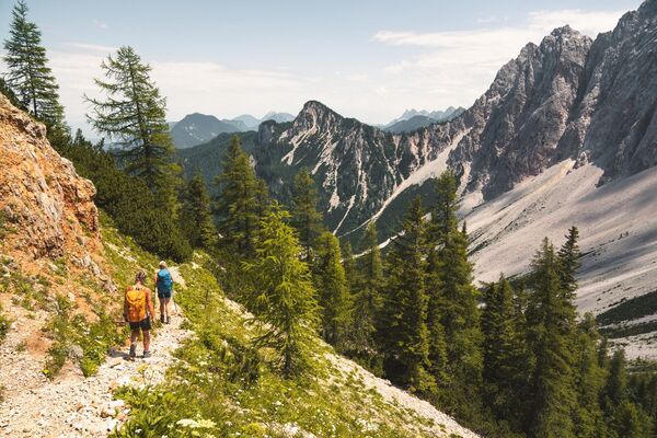
The long-distance Karavanke trail brings together places and people that are a part of the Karavanke mountain range in a unique hiking experience. The trail runs through easily accessible mountain areas, where we explore the surroundings and experience natural features. On a hiking tour, you get to meet locals who live with the area, learn about old customs, discover mountain plateaus and experience the valley's everyday richness. On the sunny and grassy slopes of the mountains one comes across wonderful views of the Sava valley, the Julian Alps and the entire Gorenjska. This is a path of intertwined sensations, wonderful views, a simple hiking experience and a taste of life under the Karavanke.
- Directions
-
The length of the trail is 143 km, divided into 7 daily stages of 14-28 km:
STAGE 1: Zgornje Jezersko - Preddvor
STAGE 2: Preddvor - Kranj
STAGE 3: Kranj - Tržič
STAGE 4: Tržič - Begunje na Gorenjskem
STAGE 5: Begunje na Gorenjskem - Dom Pristava
STAGE 6: Dom Pristava - Mojstrana
STAGE 7: Mojstrana - Kranjska Gora
- Highest point
- 1,616 m
- Endpoint
-
Kranjska Gora
- Height profile
-
 © outdooractive.com


- Author
-
The tour Karavanke Trail - Overall Trail is used by outdooractive.com provided.


General info
-
Wörthersee - Rosental
1947
-
Gorenjska
140
-
Radovljica
166