Karavanke Trail - STAGE 1: Zg. Jezersko - Preddvor


- Brief description
-
A more demanding hiking stage with a touch of real mountains and wonderful views of the Gorenjska region and Kamnik-Savinja Alps.
- Difficulty
-
difficult
- Rating
-
- Starting point
-
Tourist information centre Zgornje Jezersko
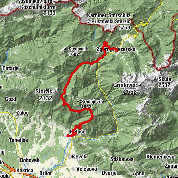
- Route
-
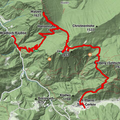
Seeland0.2 kmStara cerkev sv. Ožbolta1.0 kmGostišče Kanonir6.2 kmBašeljsko sedlo (1,631 m)13.2 kmDom na Kališču14.6 kmZavetišče v Hudičevem borštu17.3 kmIzvir pod Javorovim vrhom19.7 kmVolčje jame (1,245 m)20.5 kmSv. Jakob (961 m)21.8 kmPlaninska koča na Sv. Jakobu21.8 kmNova vas24.2 kmKapela Žalostne Matere Božje24.6 kmPotoče24.9 kmHrib25.5 kmPizzerija Urša26.0 kmGorski Privez26.1 kmPreddvor26.1 km
- Best season
-
JanFebMarAprMayJunJulAugSepOctNovDec
- Description
-
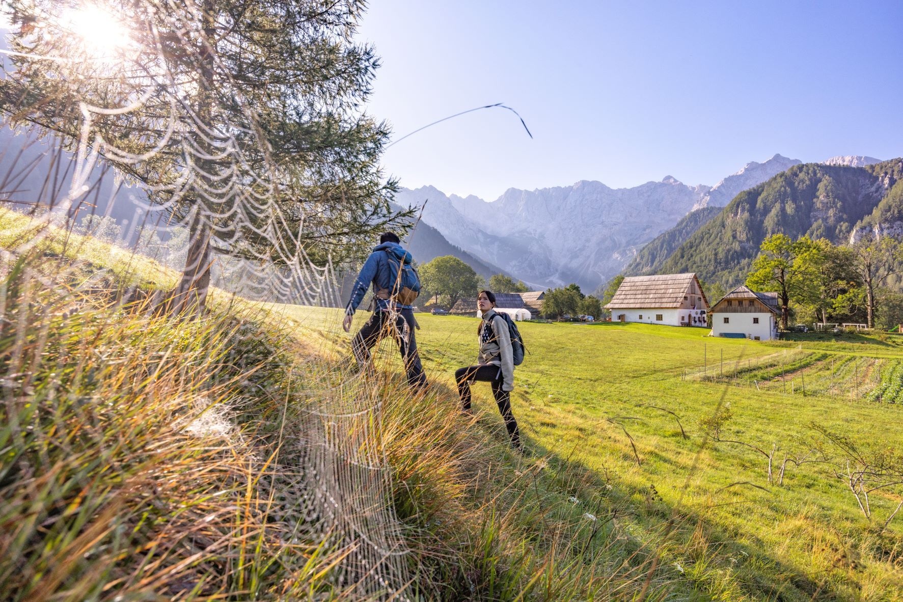
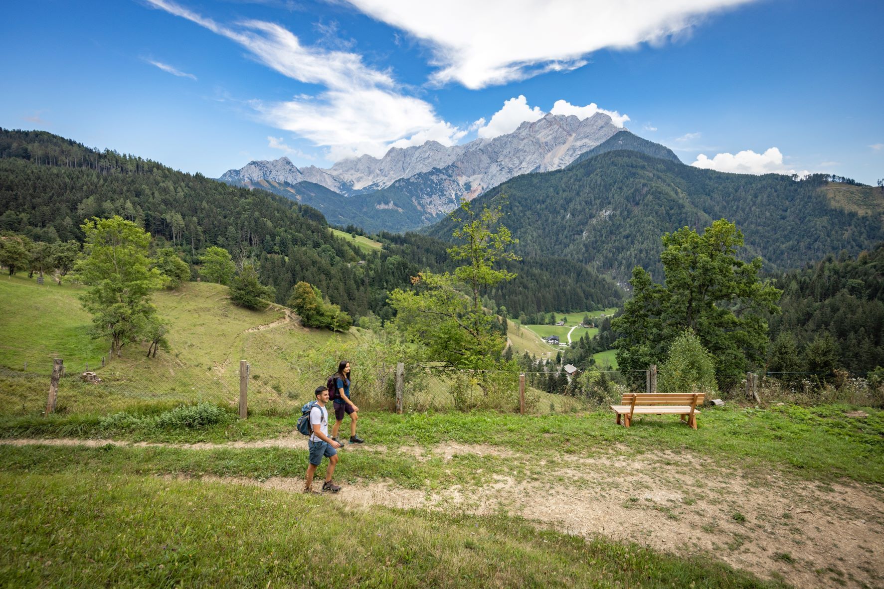
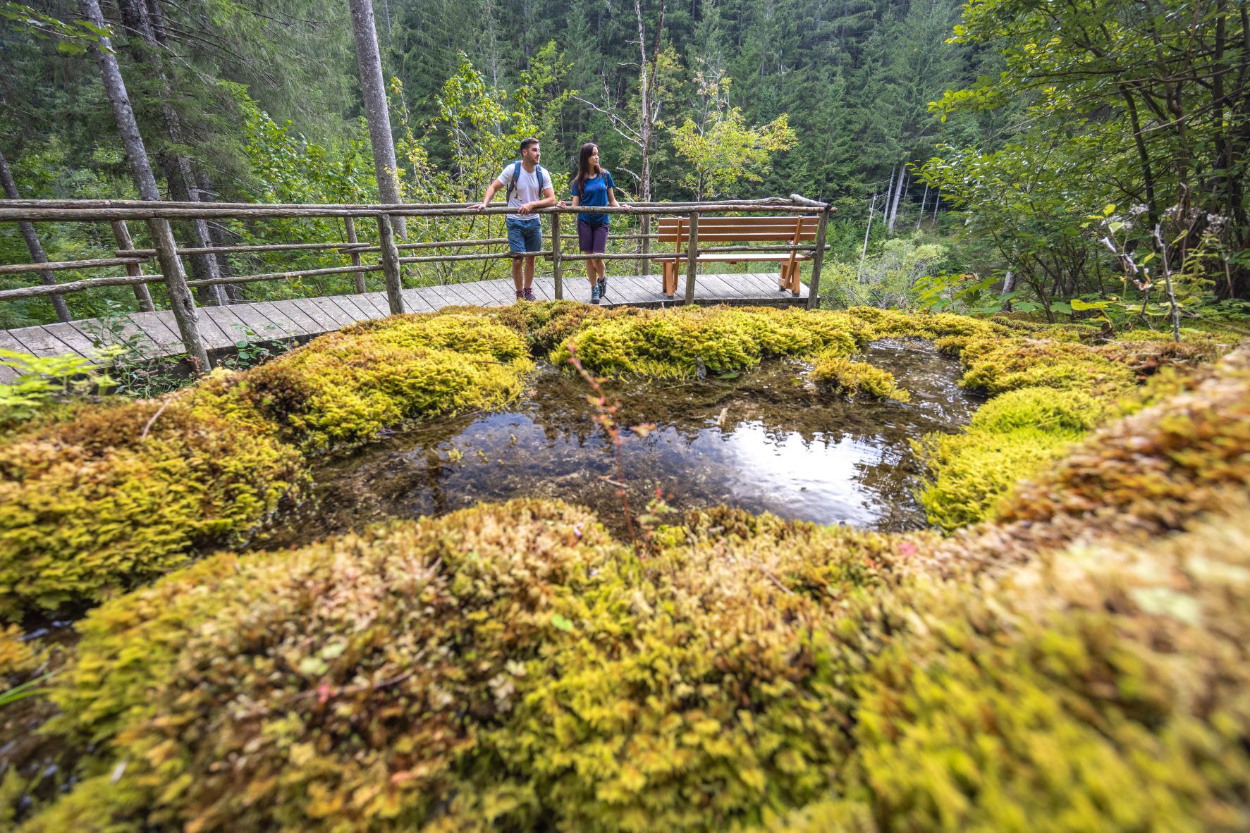
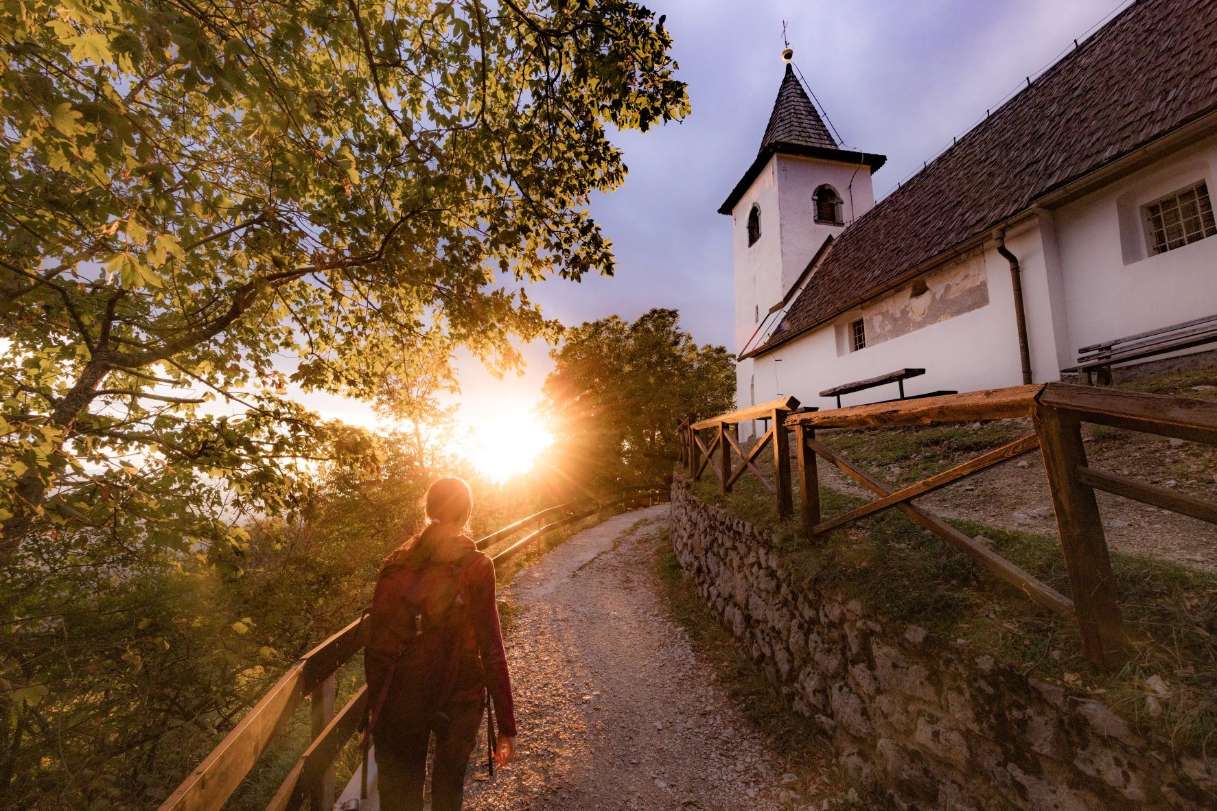
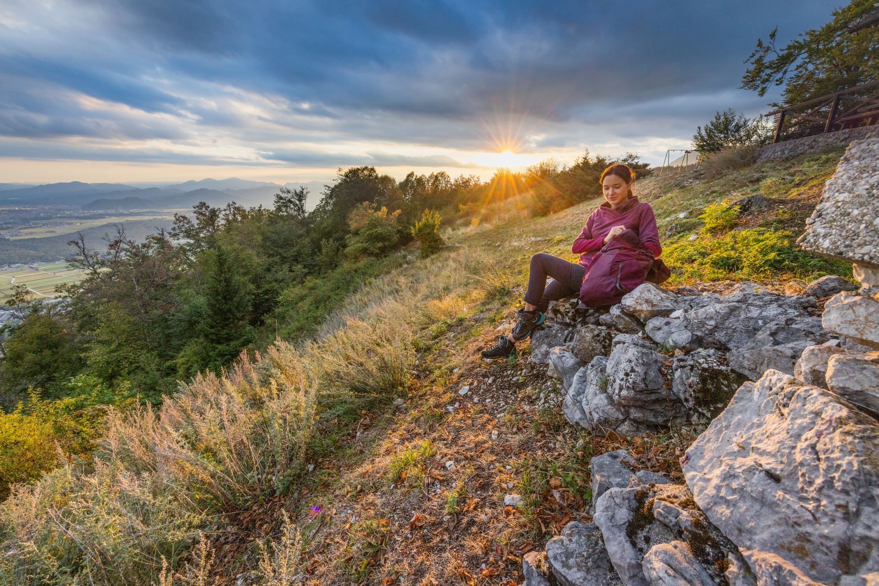
The introductory stage of the Karavanke Trail starts at Zgornje Jezersko, which is also the starting point for hiking trails to the Kamnik-Savinja Alps. The path takes us past the old church of st. Ožbolt, where we have a view of the Kamnik-Savinja Alps and, further on, leads us along the right bank of the Kokra river and later under the valleys and eastern slopes of Mt. Storžič to Bašeljsko sedlo (mountain pass). We descend from the pass via Hudičev boršt and walk along scenic routes to Preddvor.
This route is the 1st stage of the Karavanke Trail, going from Zgornje Jezersko to Kranjska Gora in a total length of 143 km.
Information on available accommodation and local offer at the Jezersko starting point is available at:
https://www.jezersko.info/accommodation.html;
https://www.jezersko.info/local-offer.html
- Directions
-
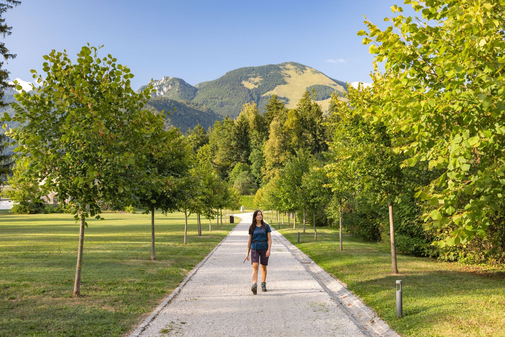
We start the route at TIC Jezersko, where we turn left on the asphalt road and the path leads us to the farm Pr' Krničar, near the church of St. Ožbolt (Oswald). We continue past the church along the forest macadam path, following the signposts and markings for Lehnjakotvorni izvir (petrifying spring with tufa formation). At the intersection with a small wooden hayloft, turn left and continue to the village mainly on asphalt to the main road. Then turn right and continue along the main road to Gostišče Kanonir (pension). Before Gostišče Kanonir, turn right over the bridge and continue along the cart path next to the stream (markings 1). Then we follow the signs for Kališče or Storžič that greets us several times in the distance. The path is steep, we go through the forest and in a small clearing, in the middle of the forest, we pass the Praprotnik hut (closed). There are narrower paths here and there, it takes about 1.5 hours to the top of Bašeljsko sedlo (mountain pass) (to climb Storžič it takes an additional hour of walking, if we have enough strength in our legs). We descend slightly to Dom na Kališču (hut), with wonderful views of Lake Črnava. Passing the hut, we follow the path that leads to St. Jakob (some 2.5 hours of walking to get there), first we descend a little, then we climb a little, but there are no major climbs ahead of us. We follow the markings for St. Jakob, which can be seen in the distance on the right, but we still have quite a walk to get there. We also pass the shelter in Hudičev boršt and two sources of drinking water. At Koča na Jakobu (hut), we take some time to rest and have refreshments. We descend through the forest and dirt road past the home for the elderly and from there along the asphalt road towards Lake Črnava, across the bridge, past the playground and a small bar to the village and TIC in Preddvor, where our journey ends.
- Highest point
- 1,616 m
- Endpoint
-
Tourist information centre Preddvor
- Height profile
-
 © outdooractive.com
 - Equipment
-
Sturdy hiking shoes, clothing suitable for the weather, backpack with lunch, snacks and a sufficient amount of water and other drinks, hiking poles (if you use them). An additional portable battery (power bank) is also recommended if the phone may already have a bad battery. In some places, the route has no phone signal (area from 10-13 km), so it is suggested to install a GPX track of the route on one of the hiking applications beforehand.
- Safety instructions
-
The first stage of the long-distance hiking trail is a demanding mountain path, for which a little more physical fitness is recommended. Part of the route to Bašeljsko sedlo climbs up the valley and has no exposed sections. On the way from Kališče to Sv. Jakob, we walk partly on forest paths, partly on scenic and exposed grassy slopes. The descent from Jakob to Preddvor takes place in the pleasant shade of a beech forest.
Before you go:
Check the weather forecast. Especially in the summer, set out early enough to avoid the summer heat and afternoon thunderstorms. Inform someone close to you of your destination and departure time. Check that the length, gradient and time of the route correspond to your level of ability before setting off and do not overestimate your capacities.During your hike:
Follow the marked paths. Take away your rubbish, do not light fires, be discreet so as not to frighten wild animals, and do not pick wildflowers or plants, a photo should be a sufficient souvenir. - Tips
-
Before setting off, check the opening hours of mountain huts. On weekends with nice weather (spring-autumn) most of them are open, but during the week their schedules may vary.
- Additional information
-
The route is very varied and runs through rugged terrain, alternating between asphalt and macadam, forest and hilly isolated areas. We cover a lot of kilometers and altitude differences, and the route enchants us with beautiful views of Storžič, mountains of Jezersko, St. Jakob above Preddvor, Kranj and the surrounding area. There are no major problems with orientation, but it is still suggested to pre-install the GPX route on one of the hiking applications, for use in "off-line" mode.
Suggested stops:
Penzion Kanonir Inn Mountain hut Planinski dom na Kališču Mountain hut St. Jakob - Directions
-
Highway:
Ljubljana–Jesenice – exit Kranj vzhod - via Zg. Jezersko
- Public transportation
- Parking
-
- There is parking near TIC Jezersko (opposite the Municipality of Jezersko)
- At Lake Črnava, in Preddvor


- Author
-
The tour Karavanke Trail - STAGE 1: Zg. Jezersko - Preddvor is used by outdooractive.com provided.