
- Brief description
-
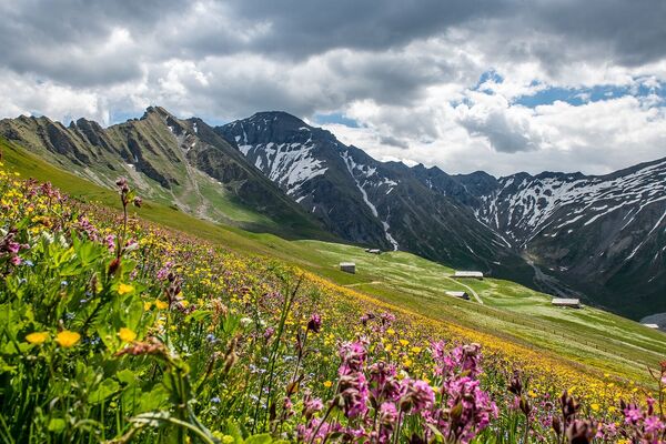
Physical 1700m + uphill hike, through varying landscapes from the green forests and waterfalls to the dry yellow rockis and the eternal snows of the glaciers.
- Difficulty
-
difficult
- Rating
-
- Starting point
-
Reusch (1’330 m)
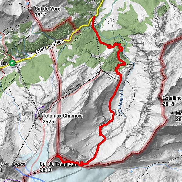
- Route
-
Reusch0.0 km
- Best season
-
JanFebMarAprMayJunJulAugSepOctNovDec
- Description
-
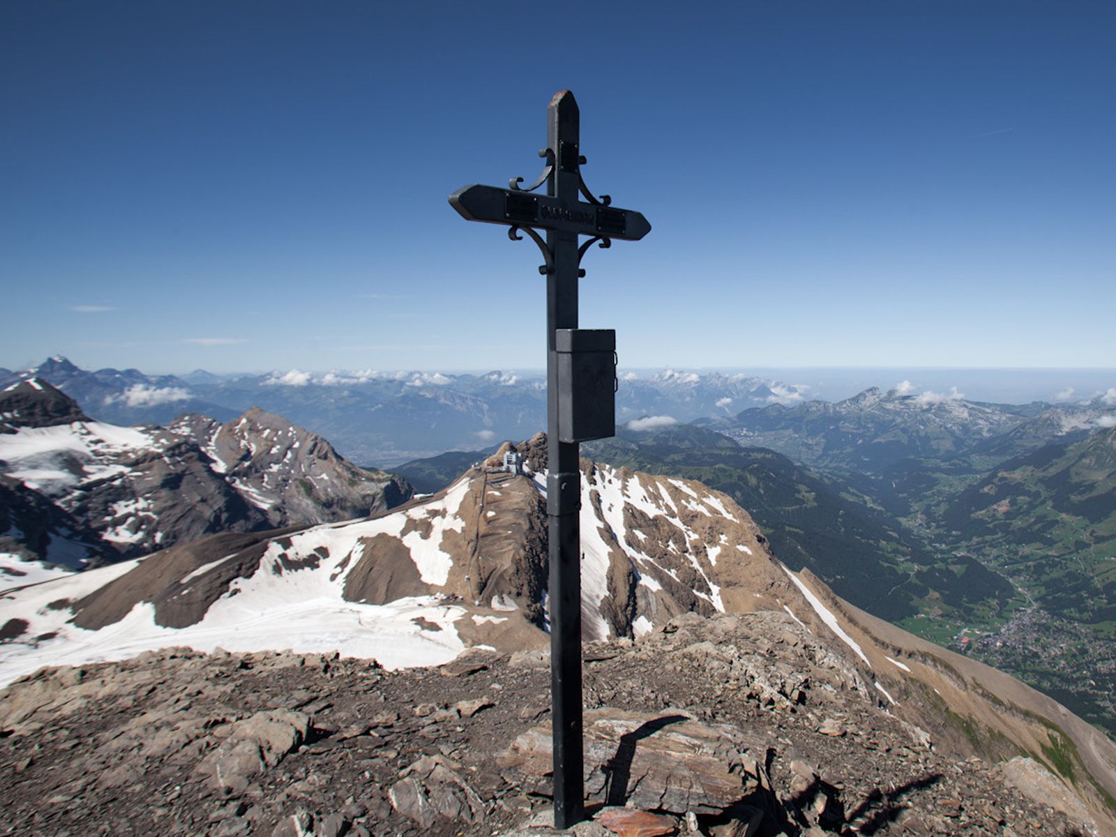
A spruce forest and scenic waterfalls line the mountain trail from the valley station Reusch up to Oldenalp. After the wild and mineral-rich Oldental, comes the Oldensattel, which is very close to the Tsanfleuron Glacier. During the final steep climb of this challenging hike of over five hours, your gaze will naturally fall onto the eternal ice – and will be magically attracted by its beauty. Upon getting to the Oldenhorn (3’122 m), a spectacular panorama consisting of 24 peaks over 4’000 metres of the impressive Alps will open up.
- Highest point
- 3,055 m
- Endpoint
-
Oldenhorn (3’122 m)
- Height profile
-
 © outdooractive.com
 - Equipment
-
Do not forget to pack some warmer clothing for the higher section.
- Safety instructions
-
Weather can change drastically in little time in ou area, the last section on the glacier can become very dangerous with poor visibility. Do not hesitate to contact us for further information.
- Tips
-
Look for mushrooms in the first third in the forest, marmots in the fields in the second, and the alpine ibex in the rocks for the third!
- Directions
-
Glacier 3000 is easily reached by car from the Lake Thun (Spiez), Lake Geneva (Aigle) and Gruyère (Bulle) areas.
- Public transportation
-
The are two main routes to get to Les Diablerets or Gstaad, from which the Postauto departs to Reusch on a regular basis. The route from Geneva via Lausanne, Montreux and Aigle takes you to Les Diablerets. The route from Zurich via Bern, Spiez, Zweisimmen takes you to Gstaad.
- Parking
-
You will find a large lot with free parking next to the Reusch cable car station, located directly on the mountain pass road between Gstaad and Les Diablerets.
- Author
-
The tour Reusch-Oldenhorn is used by outdooractive.com provided.


General info
-
Thyon les Collons
1426
-
Coteaux du Soleil
604
-
Gsteig bei Gstaad
170