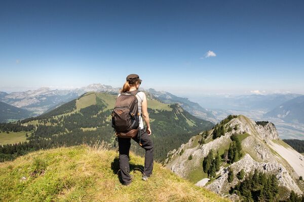

© Intersoc VZW - Bruno Oosters

- Brief description
-
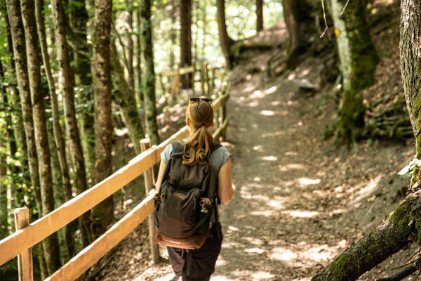
Op zoek naar een riviertje!
- Difficulty
-
easy
- Rating
-
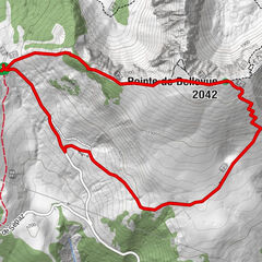
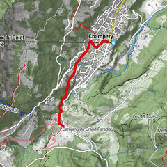
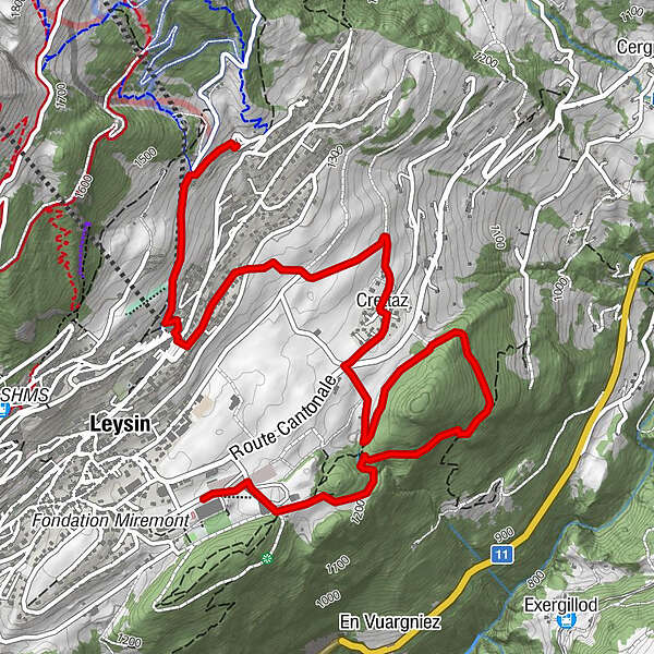
- Route
-
Leysin0.9 kmCrettaz2.4 km
- Highest point
- 1,407 m
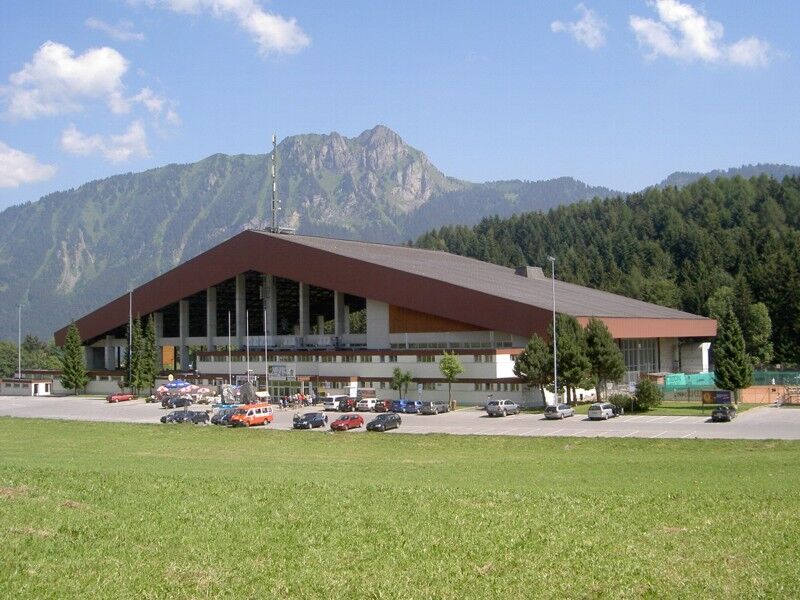
- Endpoint
-
Schaatsbaan, navettebus.
- Height profile
-
 © outdooractive.com
-

-
AuthorThe tour Leysin VM Le flot de Crête is used by outdooractive.com provided.
GPS Downloads


Other tours in the regions
-
Alpes Vaudoises
992
-
Aigle - Leysin - Les Mosses
543
-
Leysin
137