
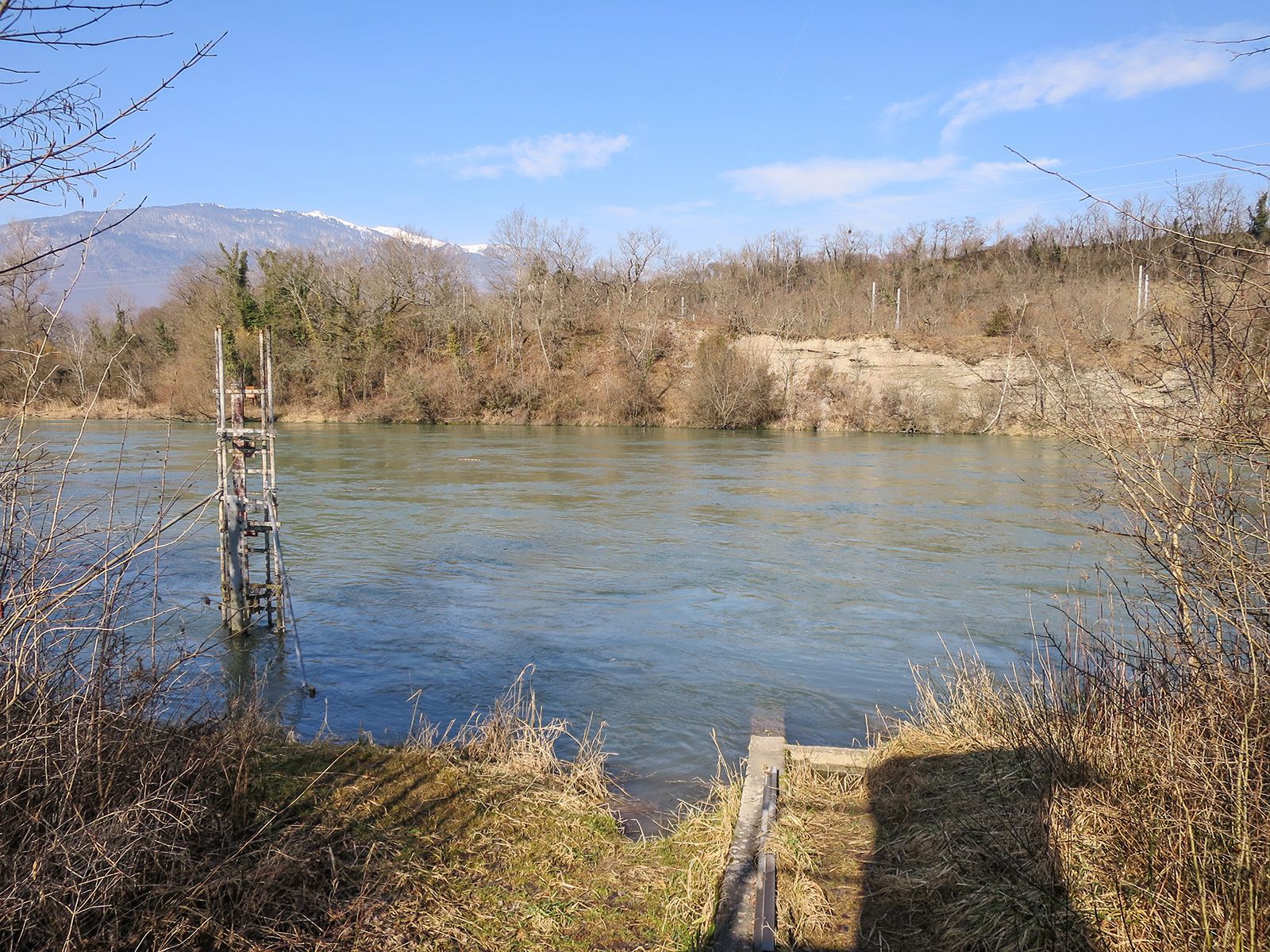
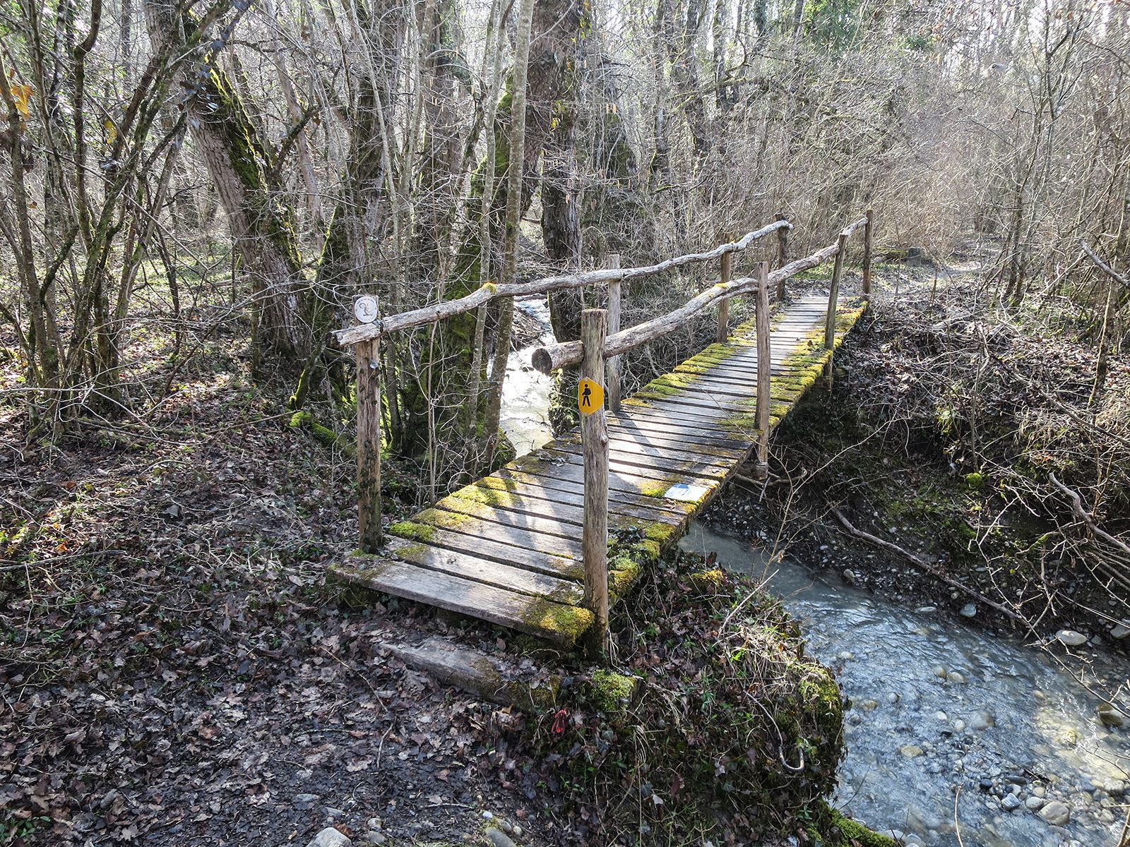
© NIVEA Wandertour/Randonnées NIVEA - Schweizer Wanderwege/Suisse Rando

© NIVEA Wandertour/Randonnées NIVEA - Schweizer Wanderwege/Suisse Rando

© NIVEA Wandertour/Randonnées NIVEA - Schweizer Wanderwege/Suisse Rando

- Brief description
-
Im Wilden Westen der Schweiz
- Difficulty
-
easy
- Rating
-
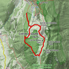
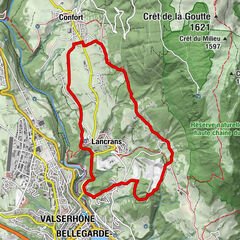
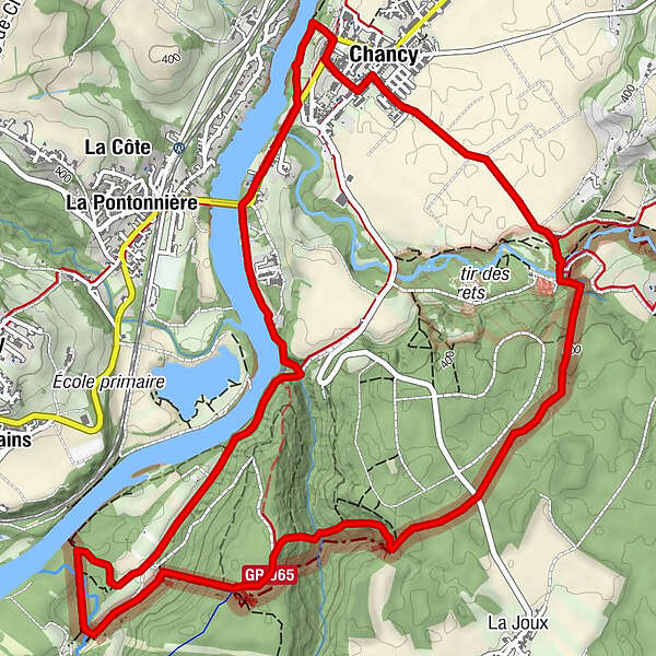
- Route
-
Chancy (360 m)Le Virage0.0 kmVie de la Fontaine0.1 kmChancy (360 m)7.6 kmLe Virage8.0 km
- Best season
-
JanFebMarAprMayJunJulAugSepOctNovDec
- Highest point
- 430 m
- Endpoint
-
Ortsmitte von Chancy
- Height profile
-
 © outdooractive.com
- Author
-
The tour Wanderung Chancy – Chancy is used by outdooractive.com provided.
GPS Downloads


General info
Refreshment stop
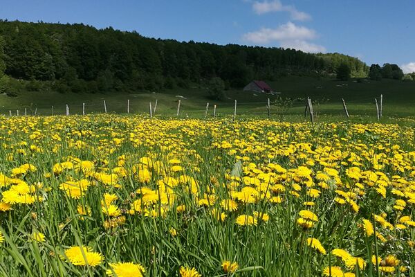
Flora
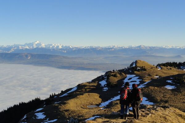
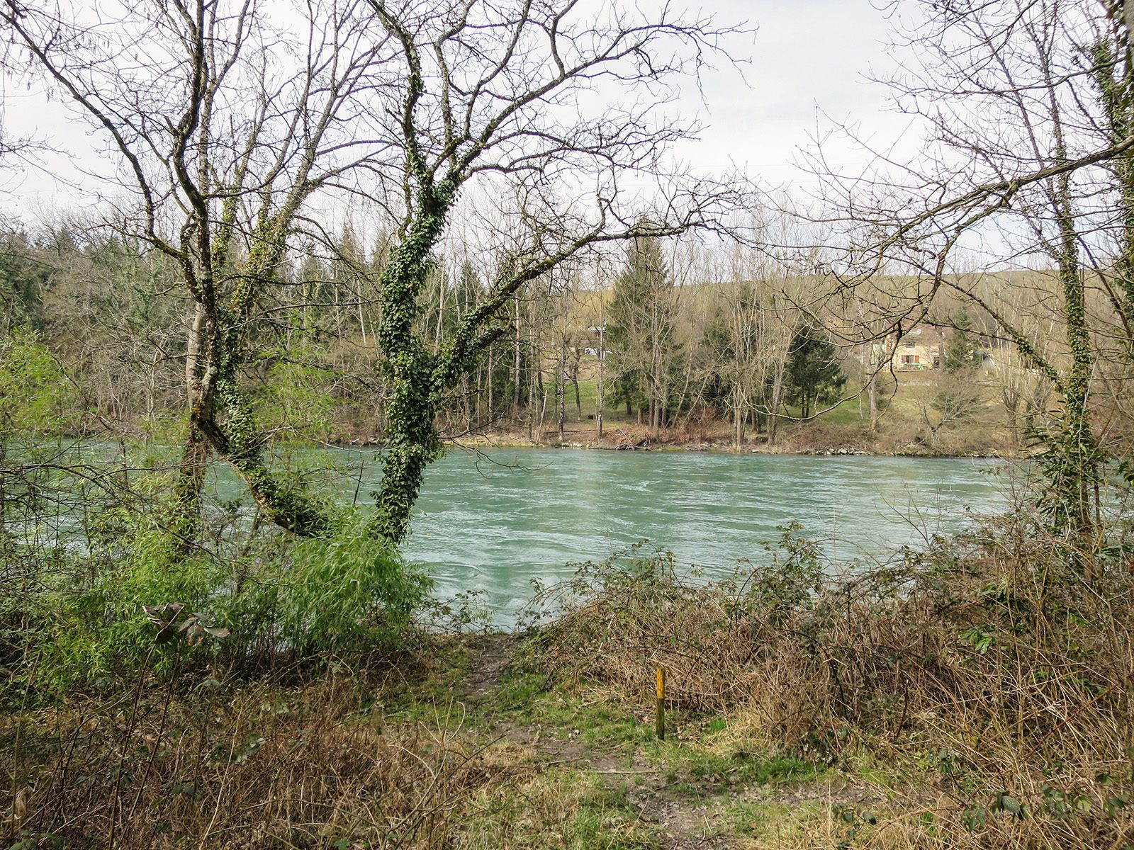
A lot of view
Other tours in the regions
-
Haute-Savoie
864
-
Genevois
258
-
Chancy
77