Postbank Martijn

Logo Postbank Martijn
Tour data
49.65km
15 - 104m
Distance
512hm
513hm
Ascent
03:04h
 
Duration
Brief description

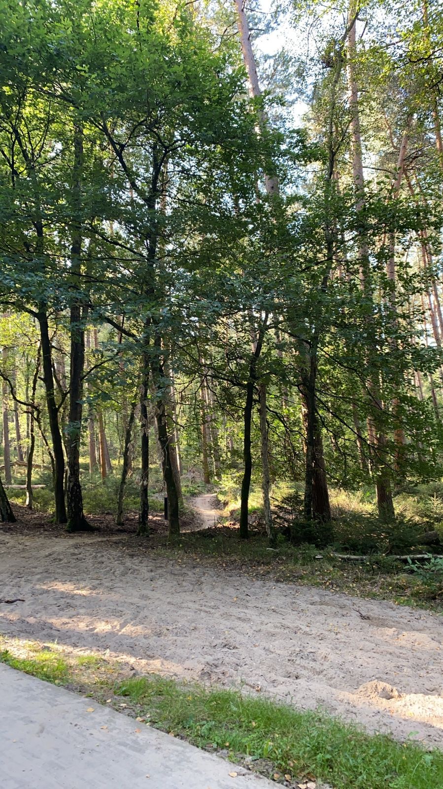
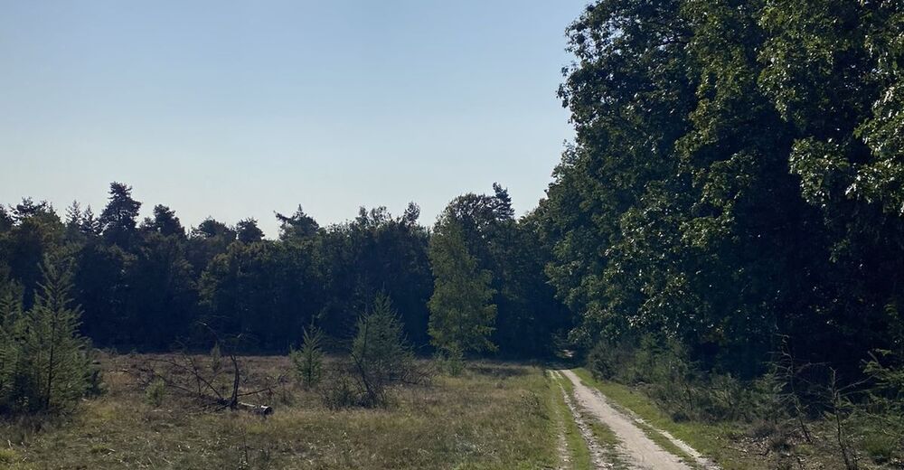
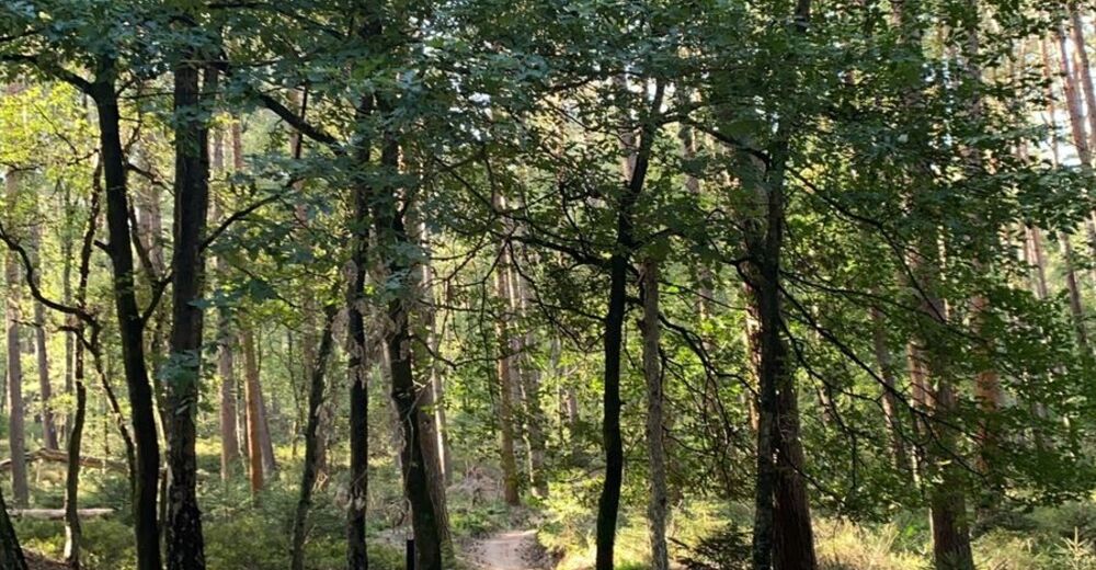
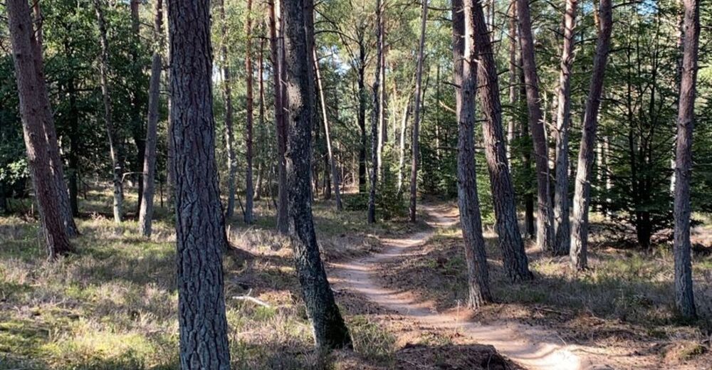
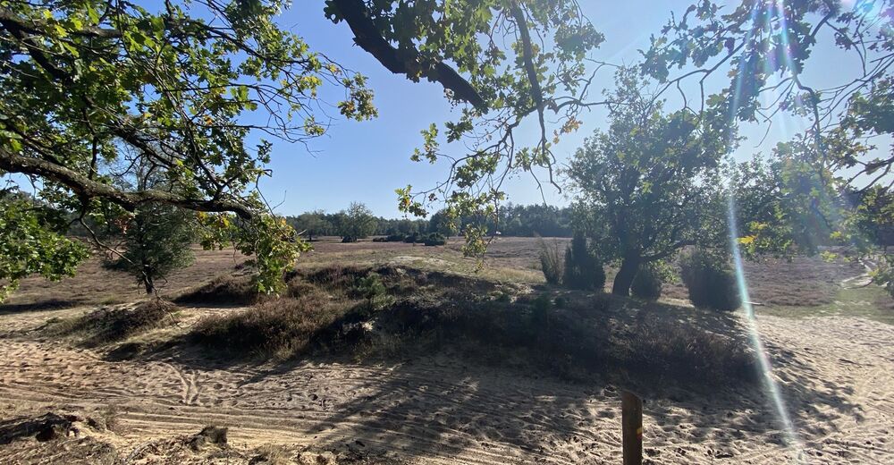
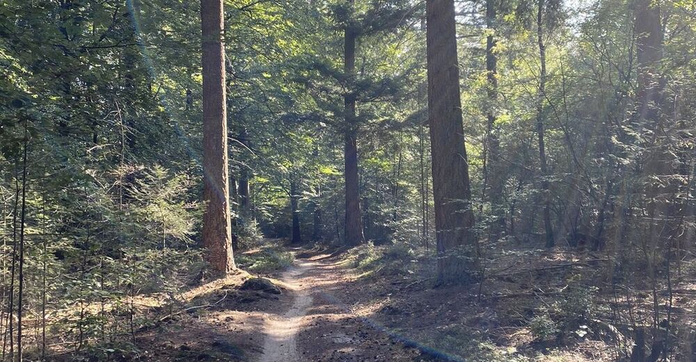
Lange tocht zonder rheden

Difficulty
medium
Rating
Technique
Fitness
Landscape
Experience
Route
Velp
0.3 km
Velp-Noord boven spoorlijn
0.7 km
Velp-Noord boven spoorlijn
48.8 km
Velp
49.2 km

Highest point
104 m

Overall rating

5

0

%

4

0

%

3

0

%

2

0

%

1

0

%

Error
An error has occurred. Please try again.
Thank you for your review

Rating has been deleted

GPS Downloads
  • GPX GPS Exchange Format (XML)
  • KML Google Earth, Google Maps
QR Download Codes for Mobile Phones
Other tours in the regions