Winter
Summer
Weather
Webcams
Accommodations
Tours
Search history
Search suggestions
No results found
Search
Tours
Home
Summer Niederlande
Gelderland
Tours
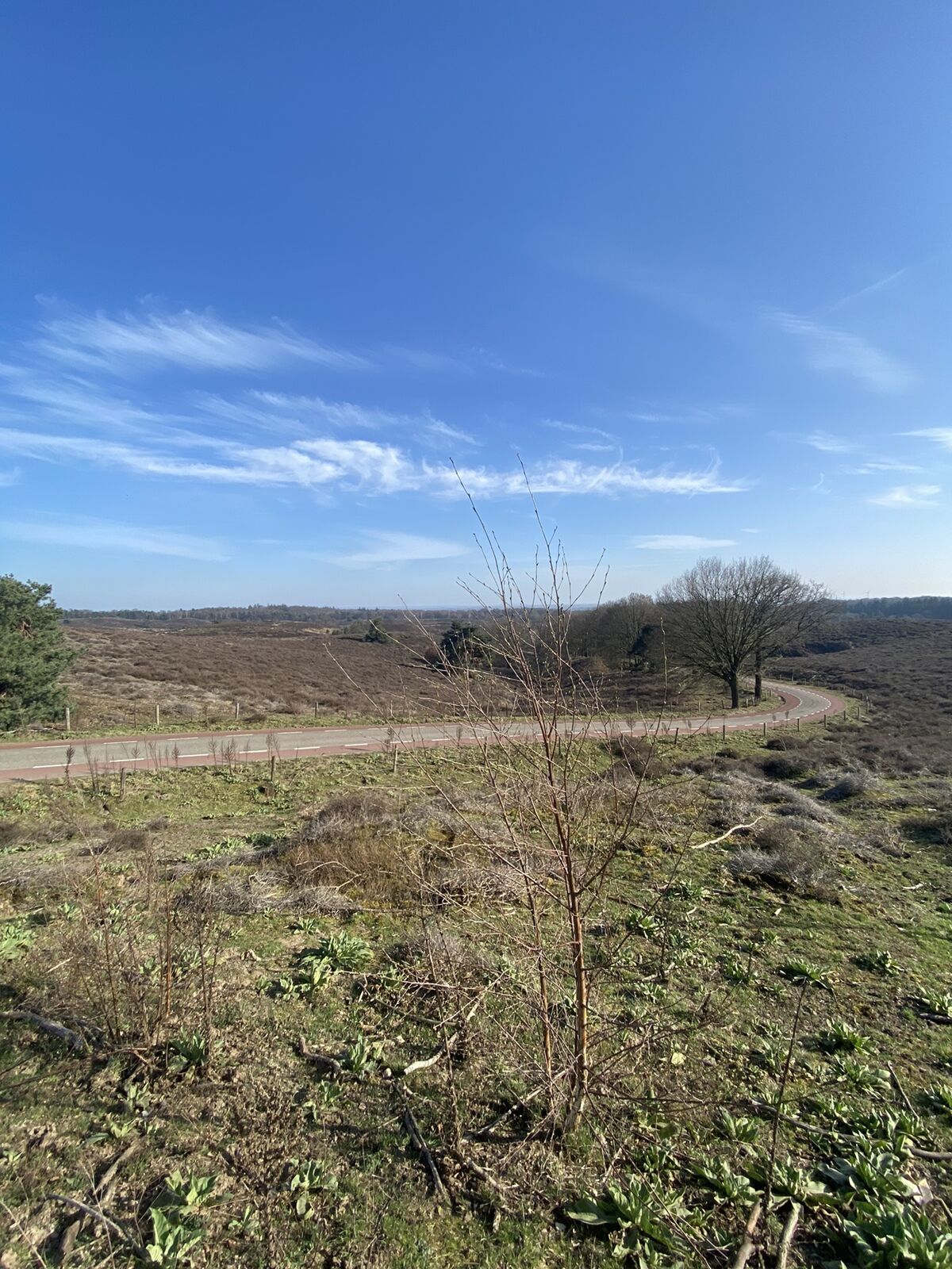
Signaal Imbosch
Regions
Webcams
Tours
Highlights
Bathing lakes
Sports provider
Events
Ski resorts
Cross-country skiing
Snow parks
Signaal Imbosch
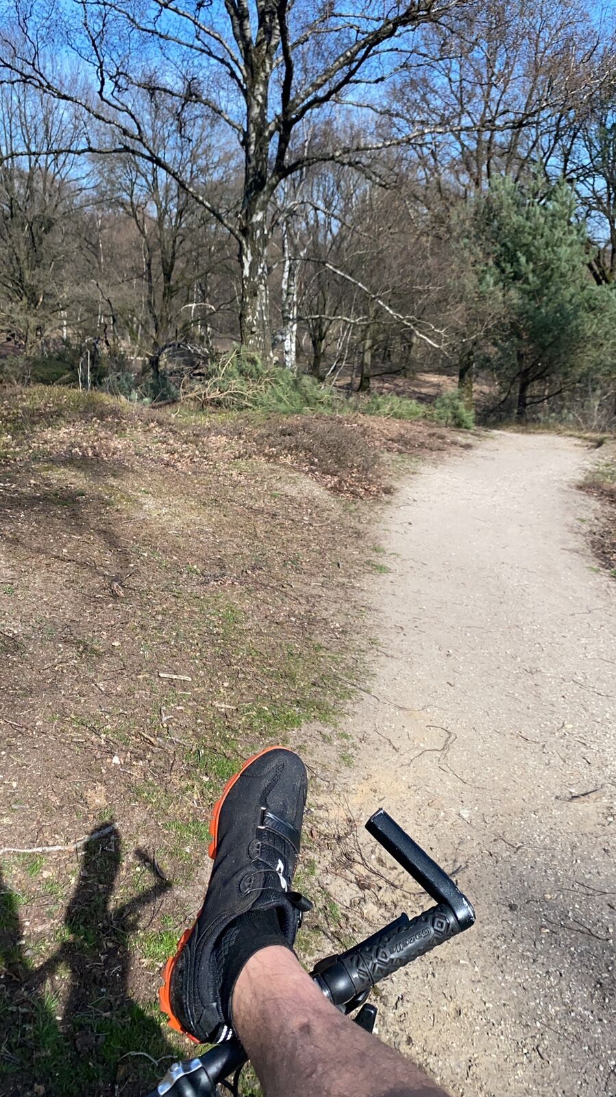
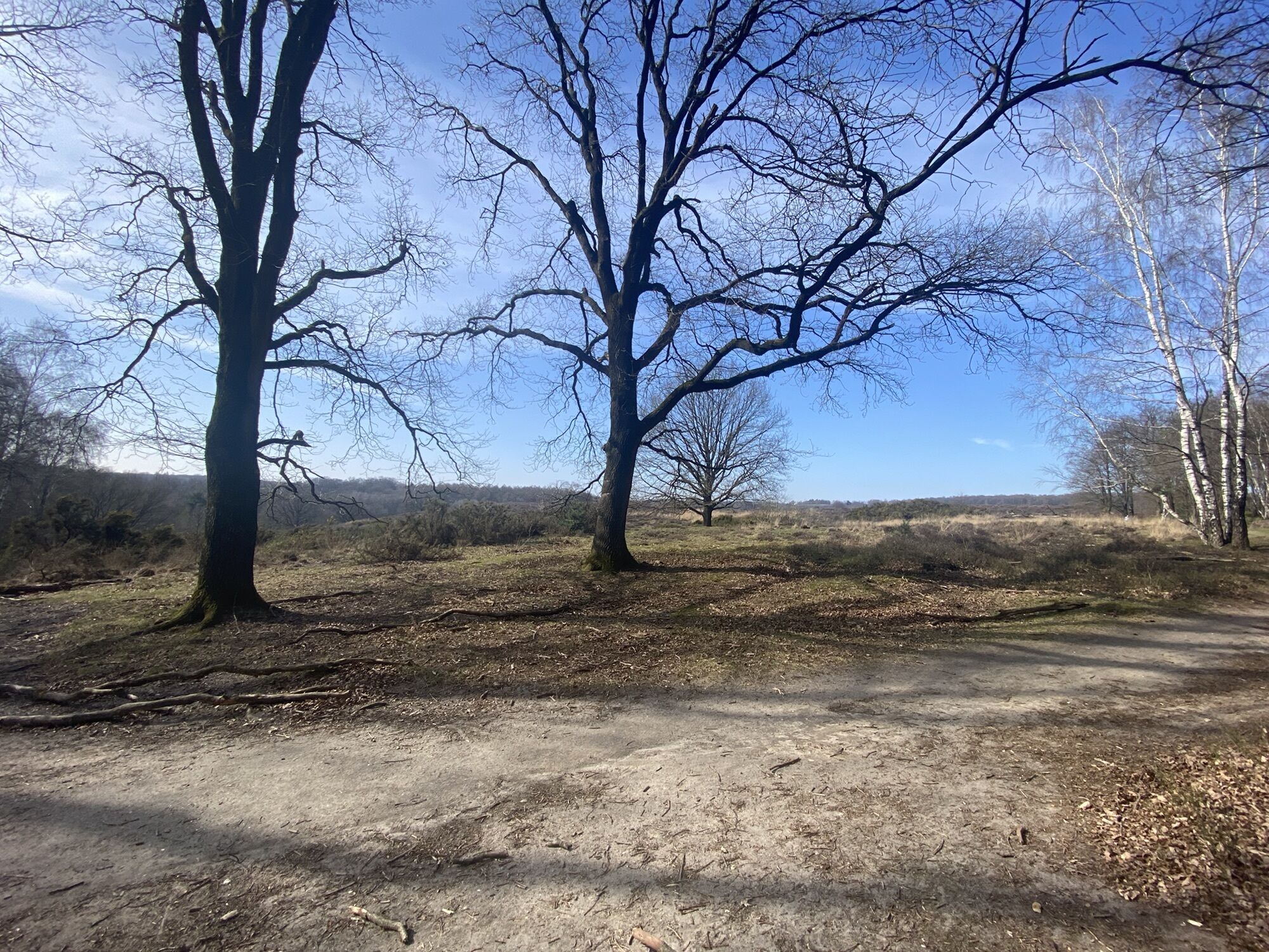
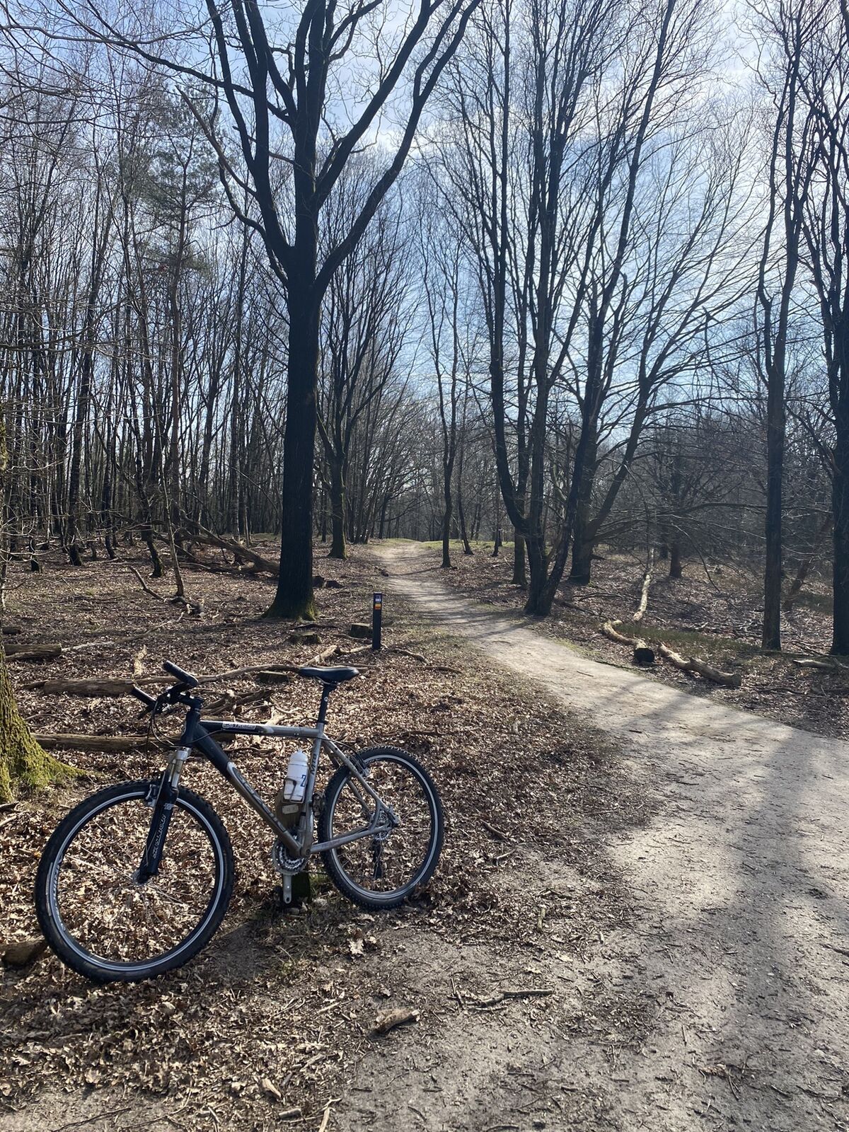
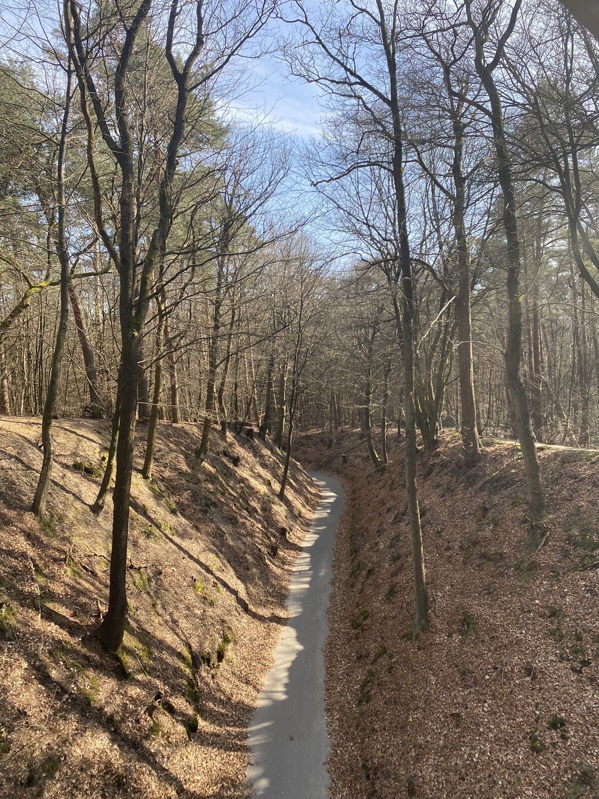
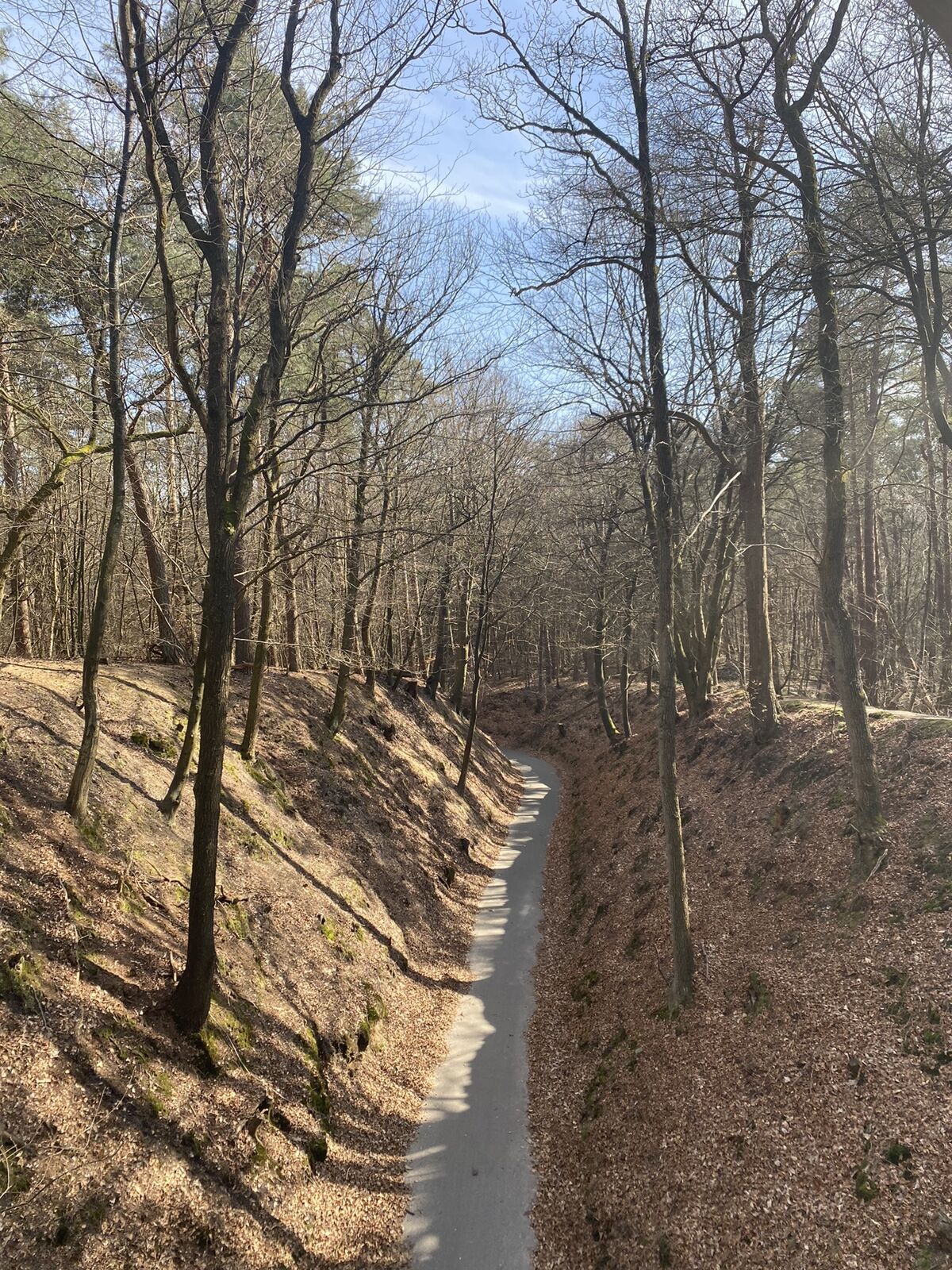
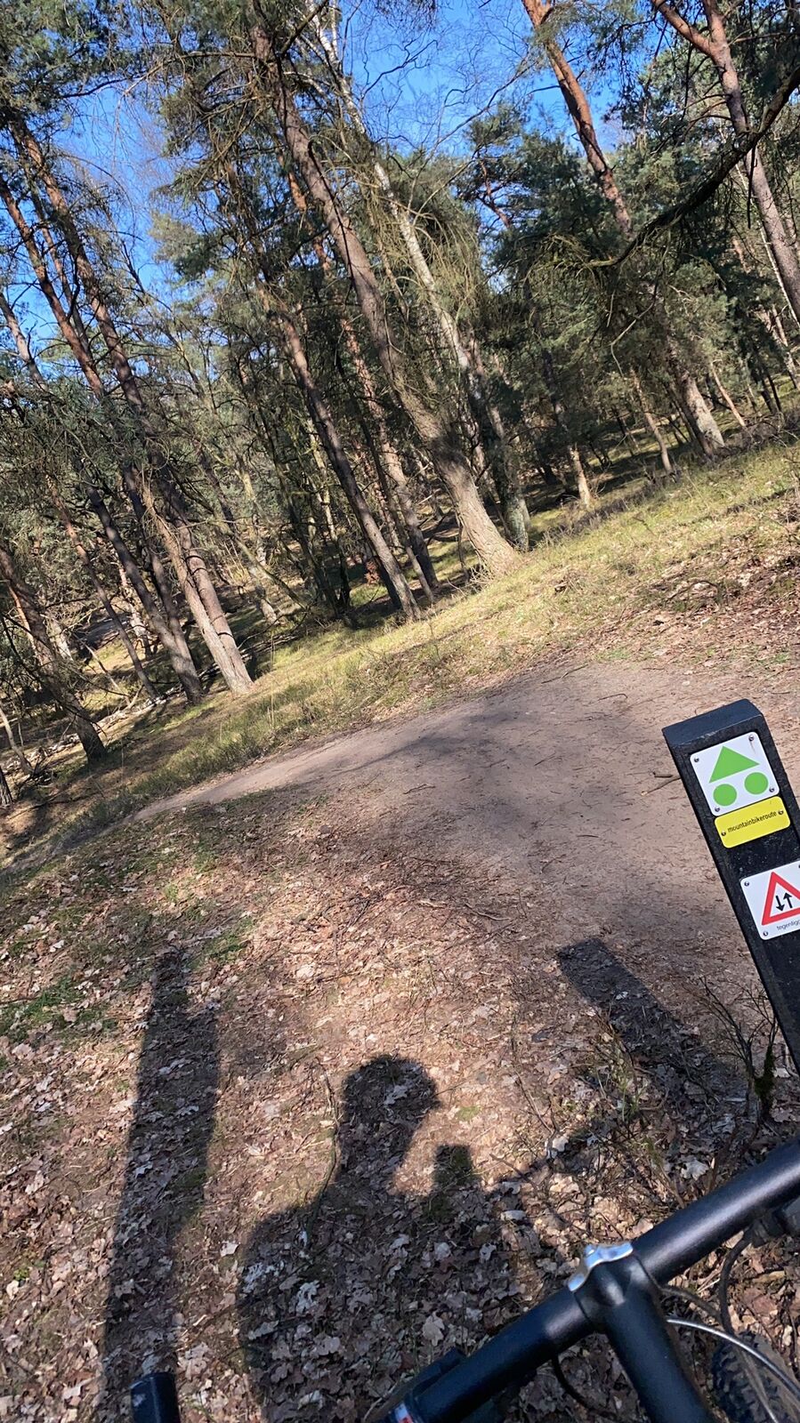
Mountainbike
Bookmark
Map
show
hide
Print
Tour data
30.87
km
14 - 113
m
Distance
474
hm
475
hm
Ascent
02:15
h
Duration
Martijn van den Broeke
created am 21.04.2021
72
Views
Difficulty
medium
Rating
Technique
Fitness
Landscape
Experience
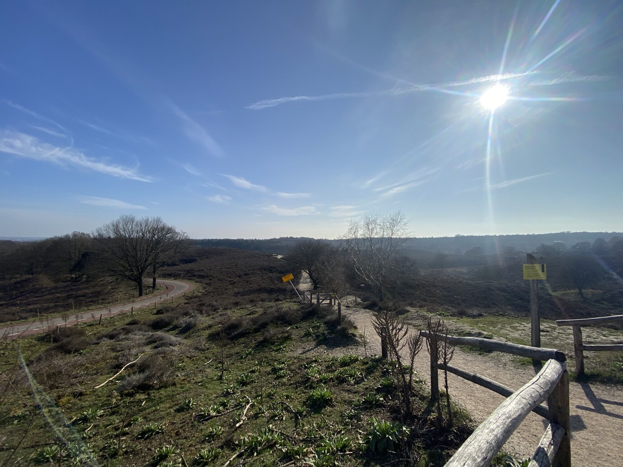
Route
Velp
town
0.4 km
Watervalletje in de Beekhuizensebeek
waterfall
2.0 km
Dassenberg
(73 m)
peak
4.3 km
Rouwenberg
(86 m)
peak
8.8 km
Paviljoen De Posbank
restaurant
21.4 km
Watervalletje in de Beekhuizensebeek
waterfall
28.6 km
Velp
town
30.4 km
Highest point
113 m
Write a review
Overall rating
5
0
%
4
0
%
3
0
%
2
0
%
1
0
%
Reviews
(0)
0 Comments
Write a review
Error
An error has occurred. Please try again.
Thank you for your review
Rating has been deleted
Report tour
GPS Downloads
GPX
GPS Exchange Format (XML)
KML
Google Earth, Google Maps
QR Download Codes for Mobile Phones
Signaal Imbosch
QR Codes - tour download for cell phones
GPX
KML
Other tours in the regions
Arnhem / Arnheim
14
No entries found.
The search is currently not available.
Please refine your search.
Local search results
(<= 25km)
More results
(> 25km)
%count% Search results
%name%
%type%
%elevation%
%population%
%lpButton%