© Liechtenstein Marketing
© Liechtenstein Marketing

© Liechtenstein Marketing
© Liechtenstein Marketing
© Liechtenstein Marketing
- Brief description
-
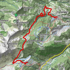
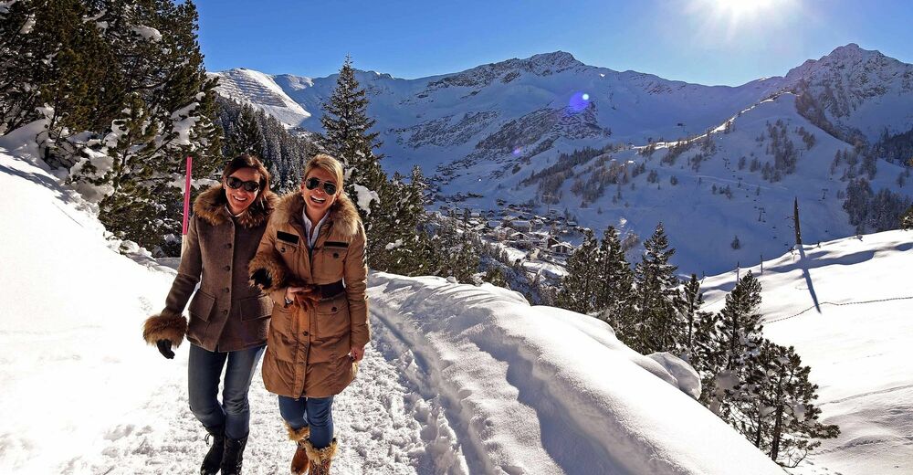
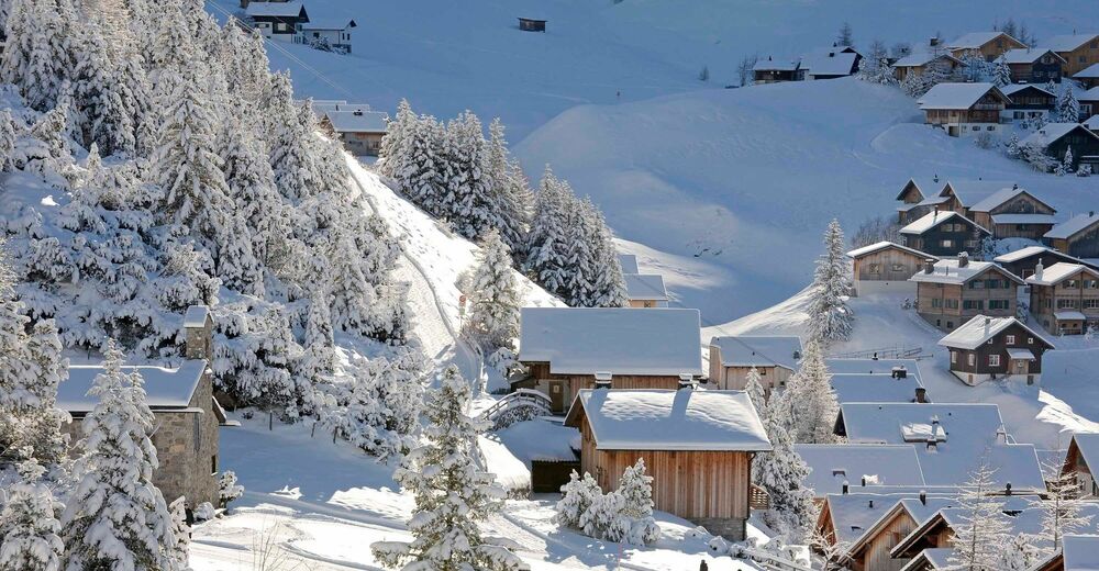
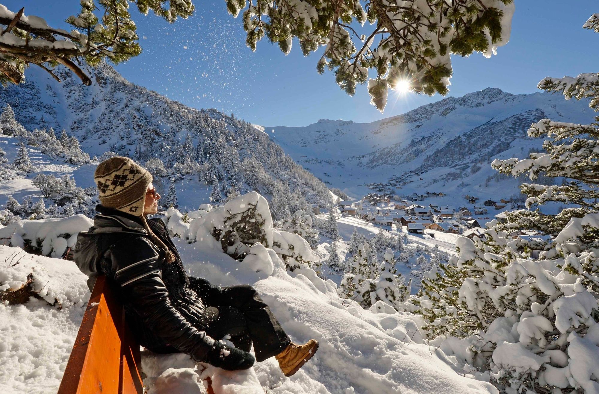
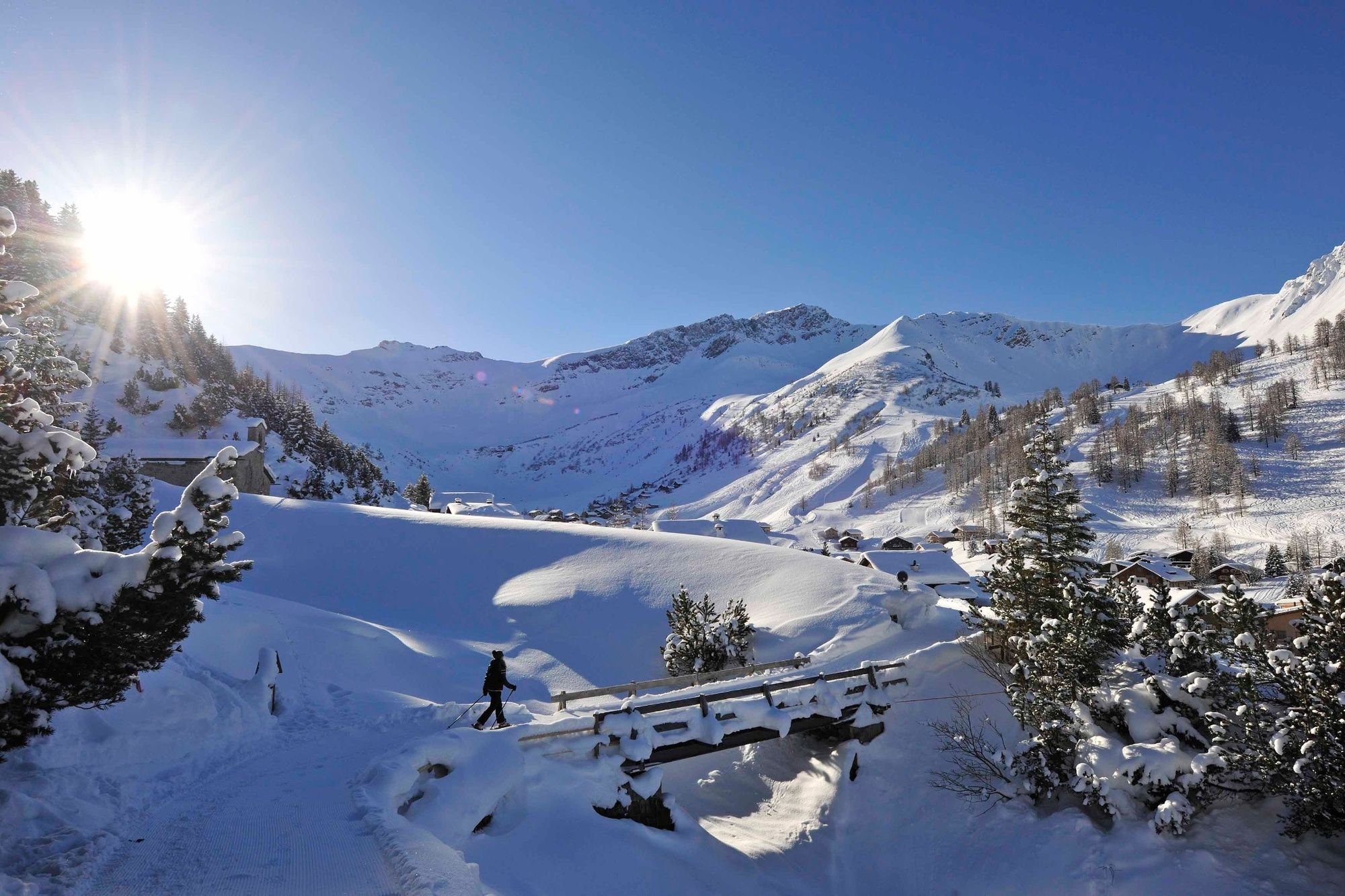
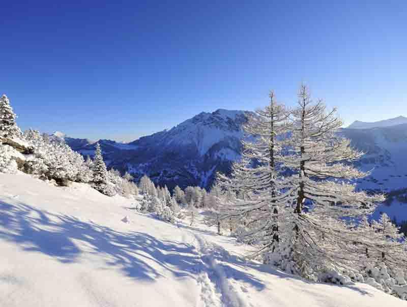
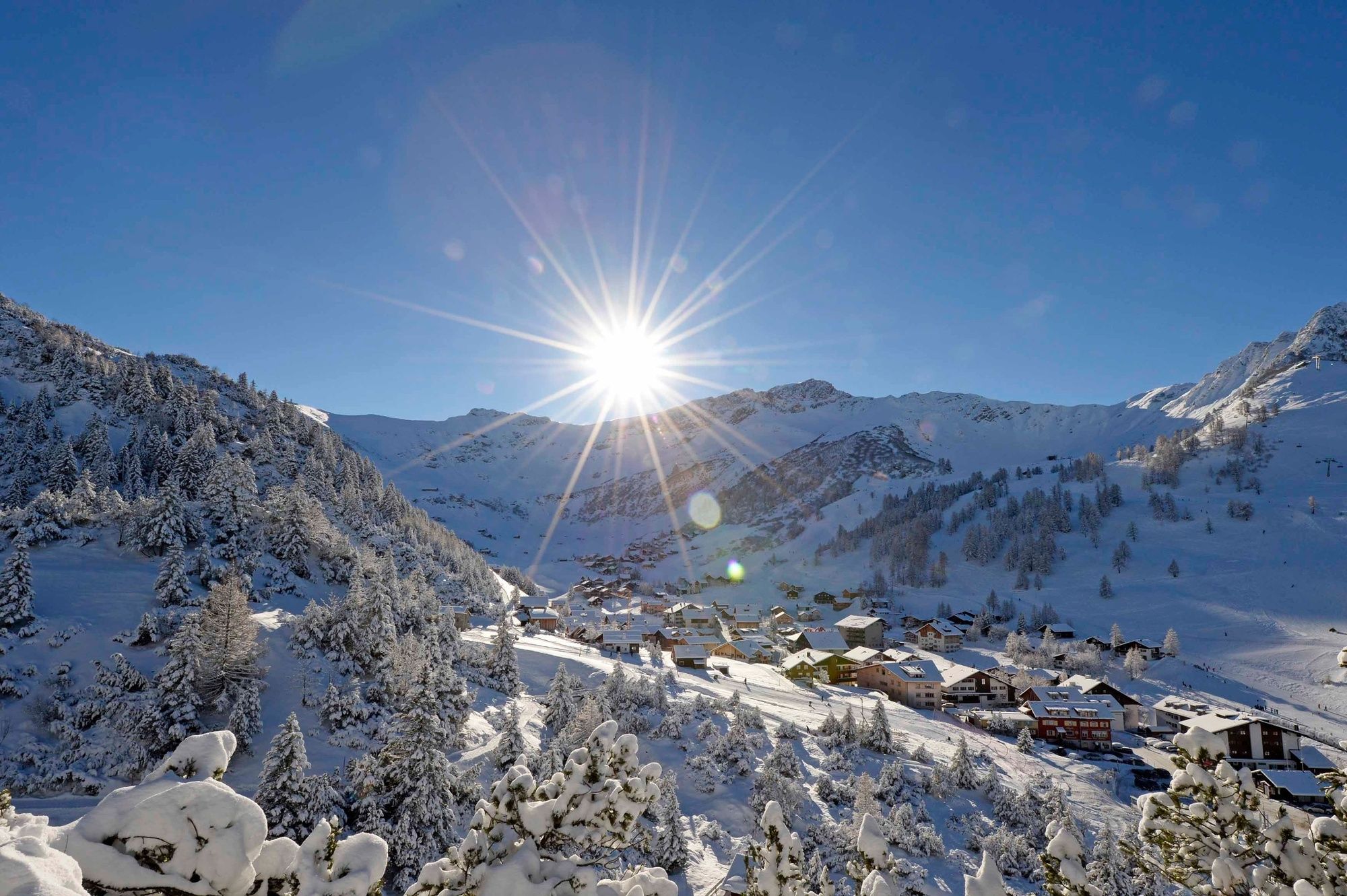
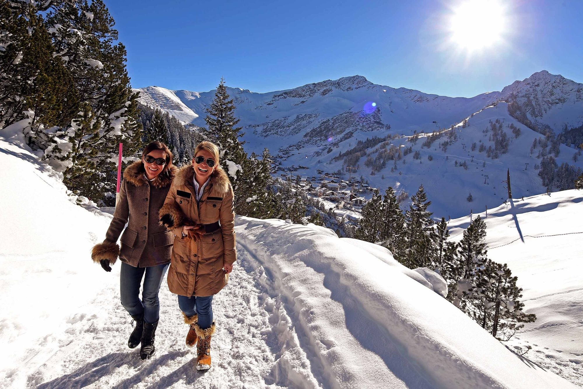
The Sass Trail near the mountain village of Malbun is a well-signposted circular hiking trail which can be hiked throughout the year.
- Difficulty
-
medium
- Rating
-
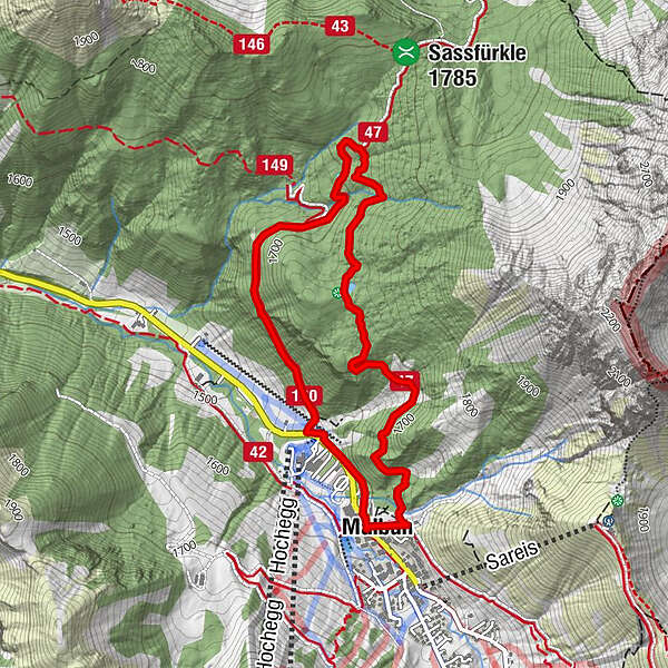
- Route
-
Malbun0.1 kmFriedenskapelle0.2 kmMalbun3.9 kmMalbun4.4 km
- Best season
-
AugSepOctNovDecJanFebMarAprMayJunJul
- Description
-
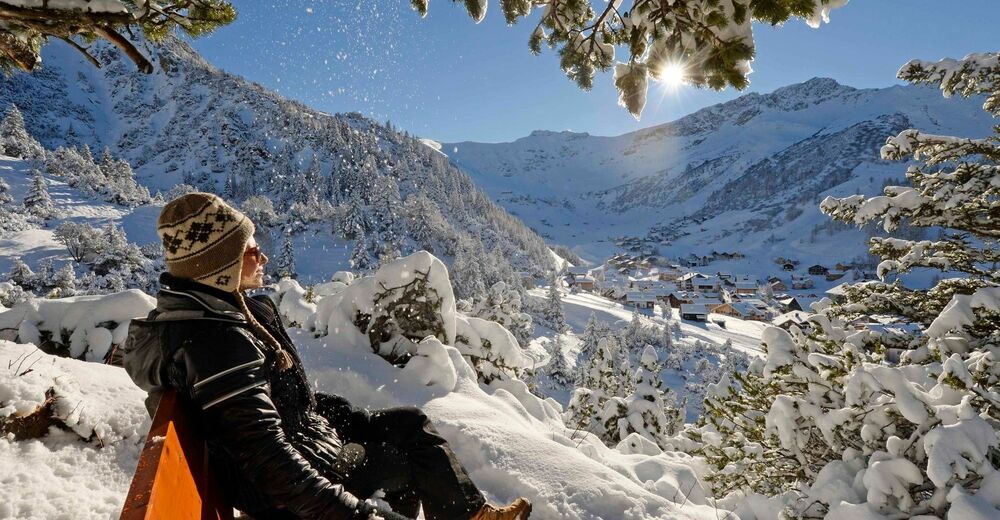
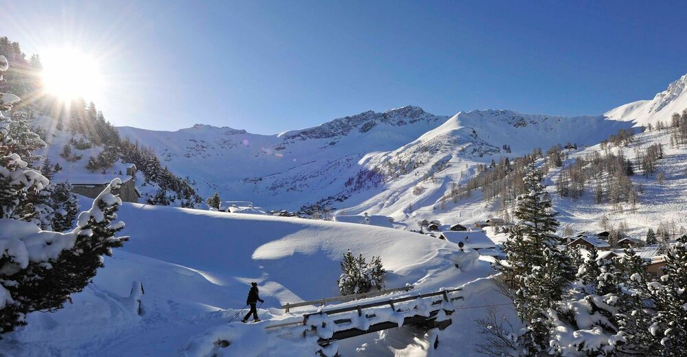
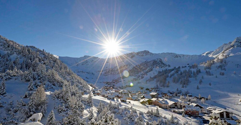
This favoured round tour begins at the beautiful Peace Chapel in Malbun. The highest point at 1725 m above sea level, can be reached in an hour. The tour continues over the Alp Sass and down to the ski lift in Schneeflucht, then from there back to the center of Malbun.
- Highest point
- 1,731 m
- Endpoint
-
Malbun
- Height profile
-
 © outdooractive.com
 - Safety instructions
-
Going on a tour requires careful planning. We recommend that you discuss the routes and weather conditions with the local information points in advance. Depending on the season and weather conditions, this route may be closed or interrupted.

-

-
AuthorThe tour Sass Trail is used by outdooractive.com provided.
GPS Downloads


Other tours in the regions
-
Heidiland
218
-
Liechtenstein
90
-
Malbun
20