


- Brief description
-
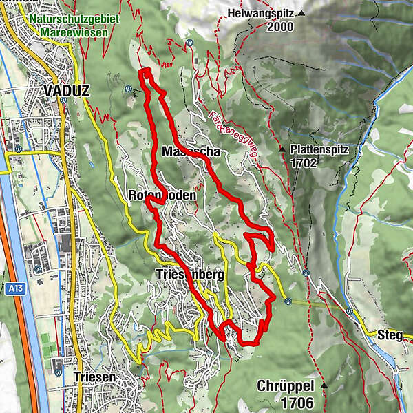
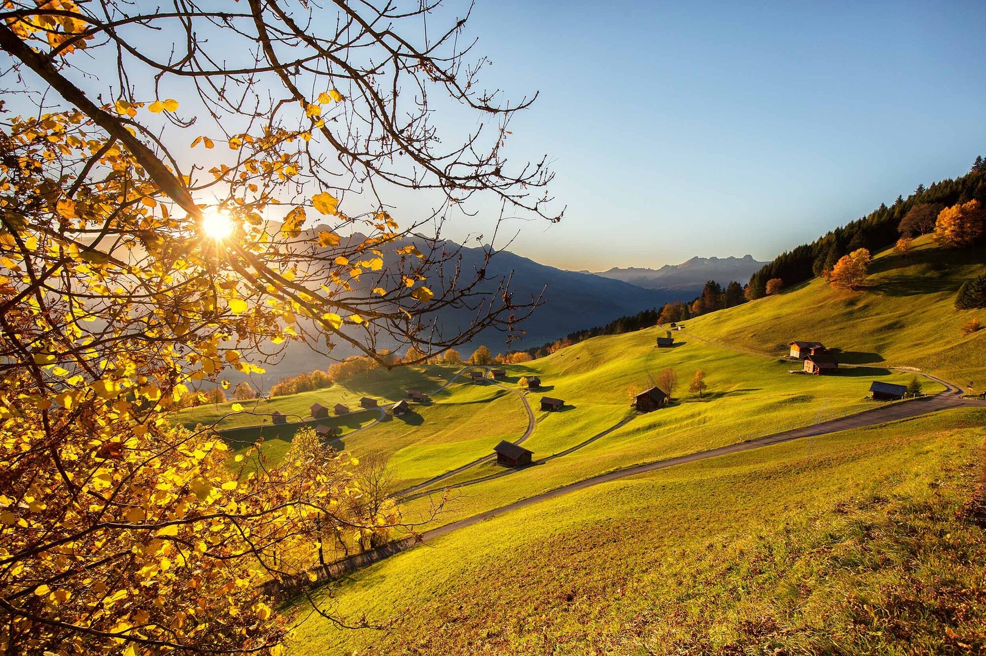
Splendid circular hike above the heights of Triesenberg along largely traffic-free roads and grassed footpaths.
- Difficulty
-
medium
- Rating
-
- Route
-
Triesenberg (884 m)0.0 kmRotenboden1.6 kmVaduz (455 m)3.3 kmVorder Prufatscheng4.4 kmMasescha5.0 kmSankt Theodul5.1 kmMitätsch (1,273 m)6.6 kmLavadina9.0 kmSteinort9.8 kmTriesenberg (884 m)11.2 kmPfarrkirche Sankt Josef11.2 km
- Best season
-
JanFebMarAprMayJunJulAugSepOctNovDec
- Description
-
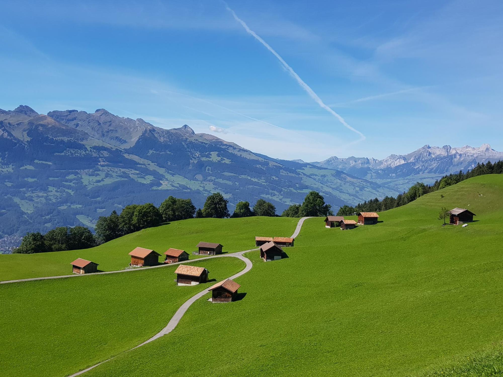
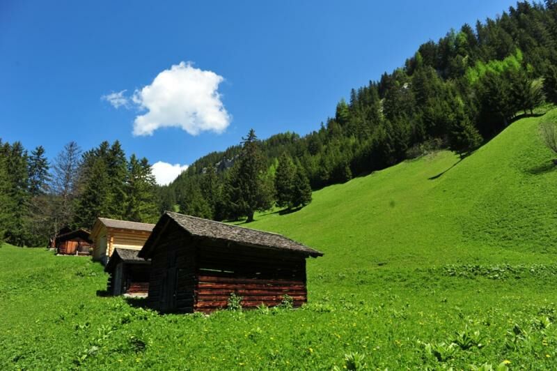
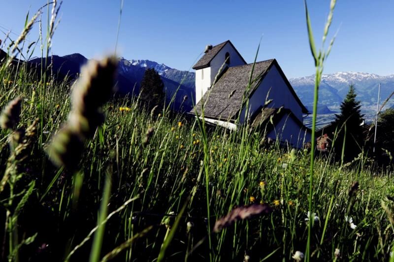
High above the Rhine Valley we visit the most beautiful settlement sites of the Walser who migrated to this area 700 years ago: The listed Prufatscheng Farmstead, the Masescha Sun Terrace with the Theodul Chapel, the magnificent Gnalp and Mitätsch recessed meadows and the Steinort settlement. The almost level “Philosophers’ Path” connects the sun-drenched settlement of Masescha with the mountain meadows of Mitätsch and the old Walser Hay Barns. This hike is especially enchanting when the meadows are in flower or when autumn mists lie over the Rhine valley below.
Alternative route
Descent from Steinort to the Hamlet of Wangerberg and onwards through forest and meadows to Triesen (distance: 2.6 km). - Highest point
- 1,269 m
- Endpoint
-
Triesenberg
- Height profile
-
 © outdooractive.com
 - Safety instructions
-
Going on a tour requires careful planning. We recommend that you discuss the routes and weather conditions with the local information points in advance. Depending on the season and weather conditions, this route may be closed or interrupted.
- Tips
-
Diversion to the nearby settlements of Silum, Alpelti, Matu or Gaflei.
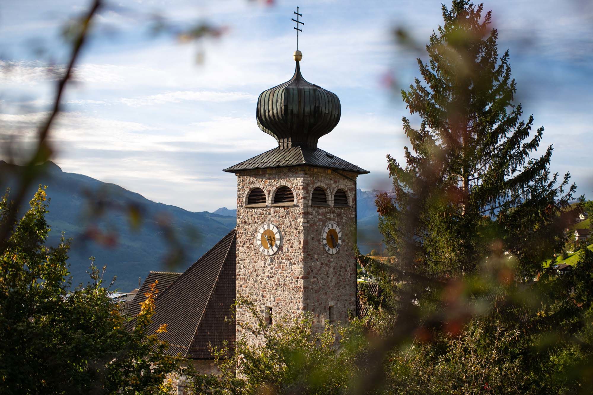
Family tip: Visit to the Walser Folklore Museum in Triesenberg.


-

-
AuthorThe tour Prufatscheng historical settlements is used by outdooractive.com provided.
GPS Downloads


General info
Cultural/Historical
A lot of view
Other tours in the regions
-
Heidiland
2205
-
Liechtenstein
1290
-
Triesenberg
227


