


- Brief description
-
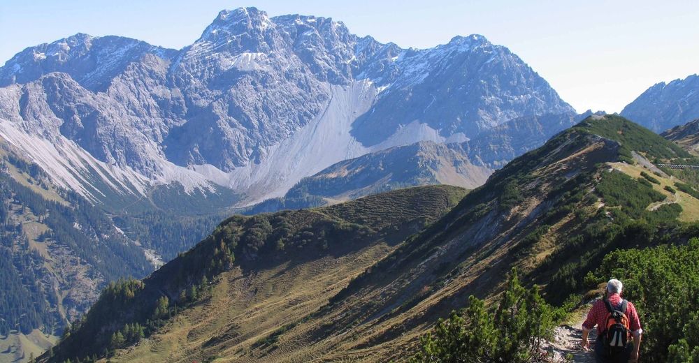
Challenging mountain hike through a beautiful Alpine landscape.
- Difficulty
-
difficult
- Rating
-
- Route
-
Malbun0.0 kmFriedenskapelle0.2 kmStüberfall8.2 kmAlpe Güfel8.9 kmPfälzerhütte11.4 kmAugstenberg (2,359 m)12.8 kmSpitz (2,187 m)14.0 kmFriedenskapelle18.3 kmMalbun18.4 km
- Best season
-
JanFebMarAprMayJunJulAugSepOctNovDec
- Description
-
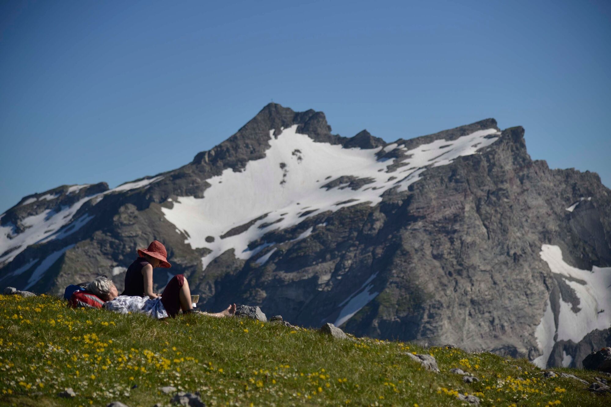
The tour begins with the ascent from the village of Malbun at 1600 metres above sea level, and continues in a south-easterly direction towards the Sareiserjoch at 2000 metres above sea level. Alternatively, a chairlift runs from Malbun to the Sareis mountain restaurant. From the Sareiserjoch the hiking trail leads through meadows with beautiful flowers past alpine huts in the direction of Austria into the Gamperdona Valley to the summer settlement of Nenzinger Himmel. Here the Gamperdona Alp with its demonstration dairy and many alpine products is well worth a visit. The route continues through the beautiful valley across mountain pastures to the Pfälzer Hut on the Bettlerjoch at 2108 metres above sea level. A narrow ridge path, which is partly secured with ropes, then leads up to the highest point of the hike, the Augstenberg at 2359 metres above sea level, with an impressive summit cross and wonderful panoramic views. The trail then continues in a steep descent and then along the ridge between colourful alpine flowers back to the Sareiserjoch and either on foot or by cable car to the starting point in Malbun.
- Highest point
- 2,351 m
- Endpoint
-
Malbun
- Height profile
-
 © outdooractive.com
 - Safety instructions
-
Going on a tour requires careful planning. We recommend that you discuss the routes and weather conditions with the local information points in advance. Depending on the season and weather conditions, this route may be closed or interrupted.
- Tips
-
The Pfälzer hut is an excellent place to stop for a rest or to spend the night.


-

-
AuthorThe tour From Malbun (FL) to the Nenzinger Himmel (AT) is used by outdooractive.com provided.


General info
-
Heidiland
2208
-
Liechtenstein
1290
-
Malbun
310


