


- Brief description
-
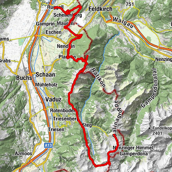
Classic high-level trail with ridge hike and panoramic-experience summits, leads from Malbun to Ruggell.
- Difficulty
-
difficult
- Rating
-
- Route
-
Bergrestaurant Sareis0.0 kmSpitz (2,187 m)1.9 kmAugstenberg (2,359 m)3.2 kmPfälzerhütte4.7 kmSteg12.4 kmWisli12.9 kmSilum15.4 kmKuhgrat (2,122 m)20.8 kmGarsellikopf (2,104 m)21.4 kmDrei Schwestern (2,051 m)22.8 kmJahnturm (2,034 m)23.0 kmWolan (2,034 m)23.0 kmGafadurahütte30.3 kmPlanken (786 m)33.2 kmNendeln34.7 kmGasthaus zum Hirschen40.5 kmMauren (453 m)40.6 kmGasthaus Weinlaube42.7 kmHinterer Gantenstein (695 m)43.6 kmEschnerberg (697 m)44.0 kmFeldkirch44.0 kmWirtschaft zum Löwen44.8 kmHinterschellenberg45.0 kmSankt Georg45.2 kmSchellenberg (626 m)46.8 kmRuggell (433 m)49.6 km
- Best season
-
JanFebMarAprMayJunJulAugSepOctNovDec
- Description
-
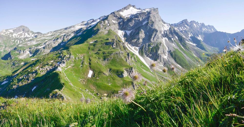
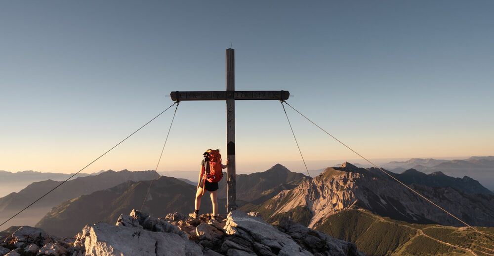
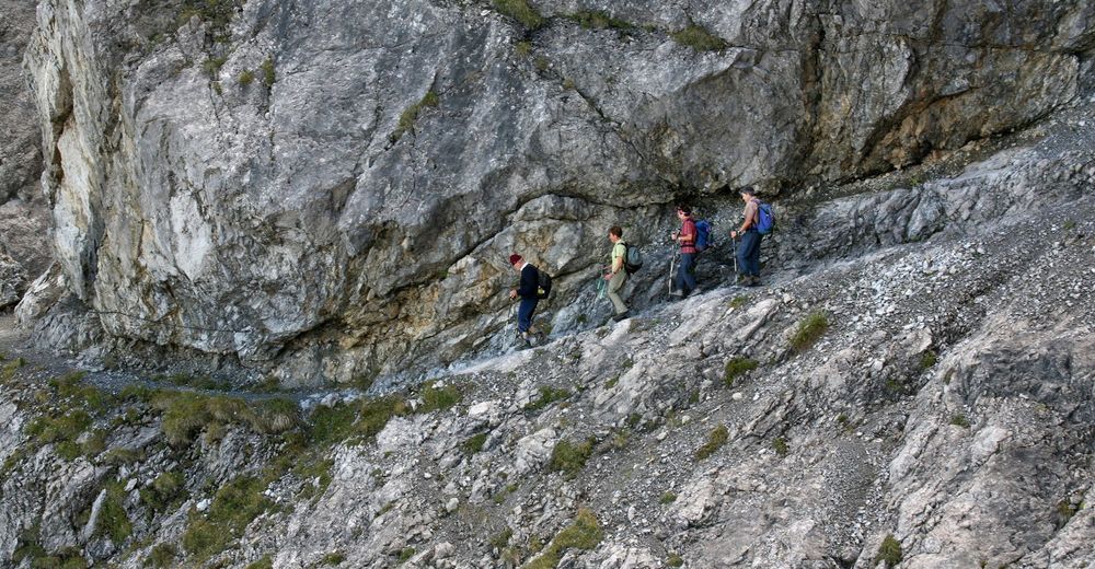
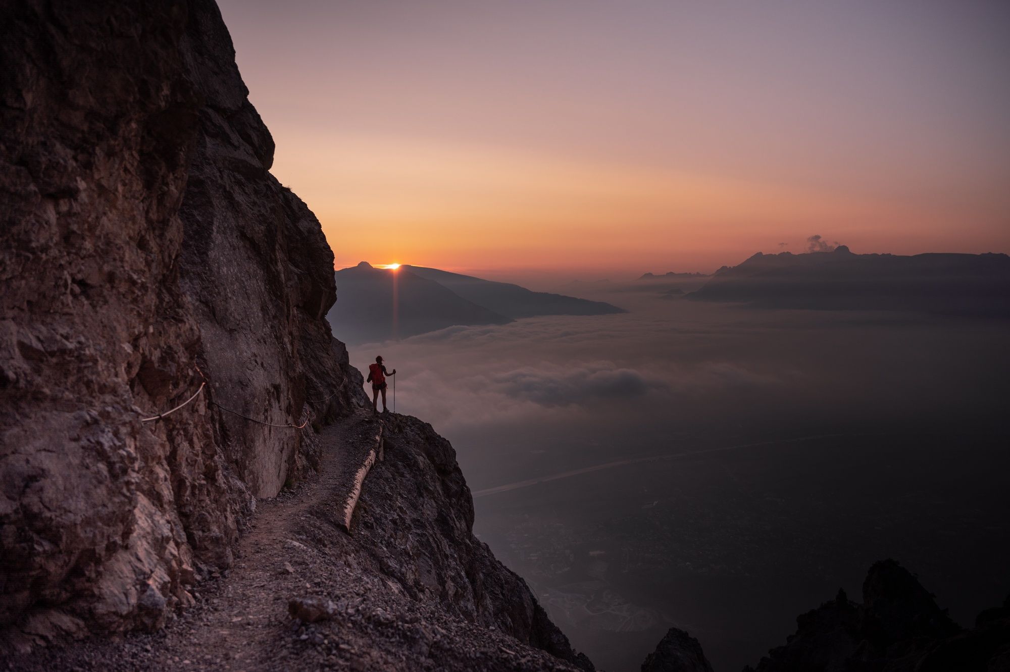
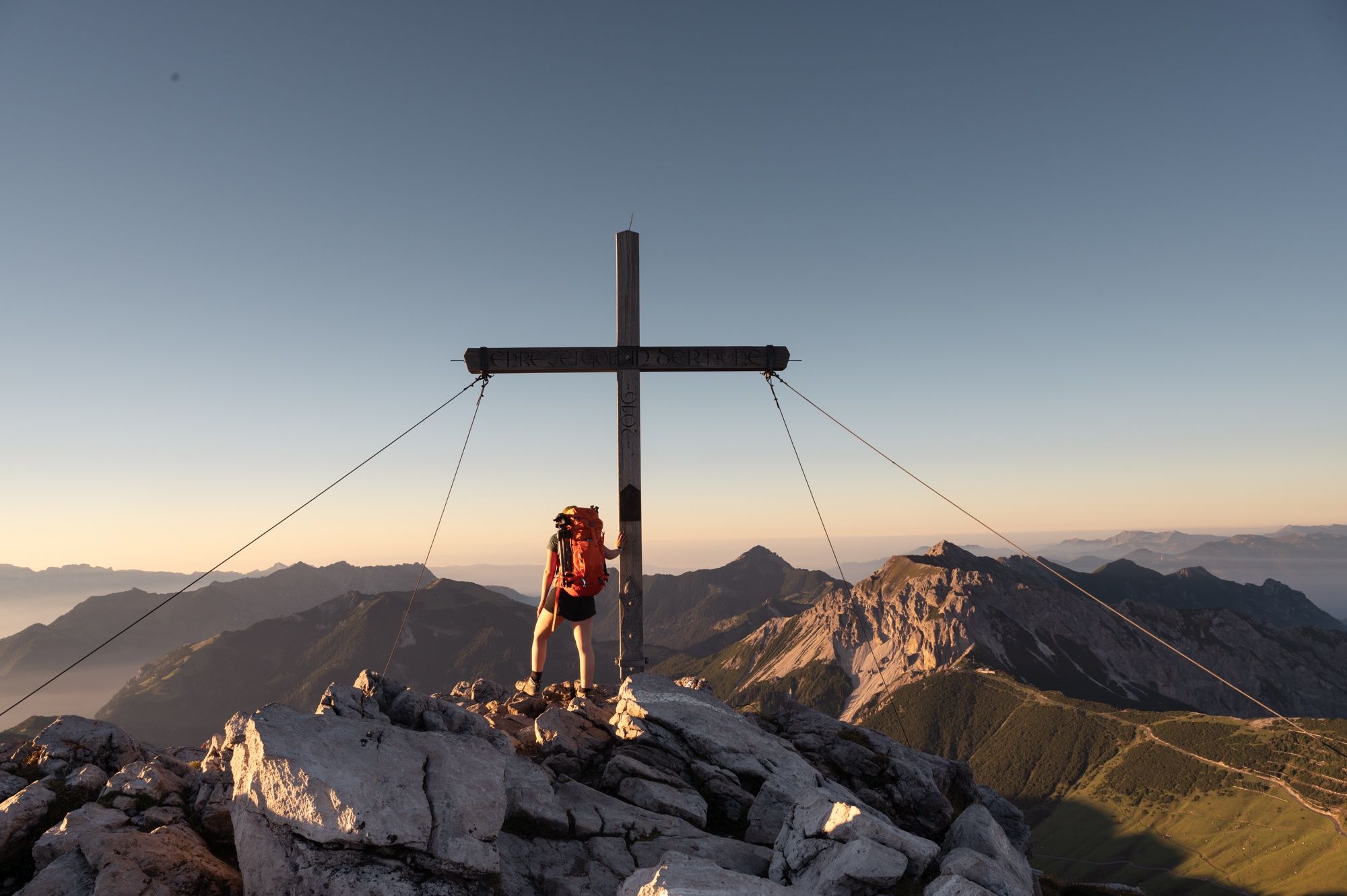
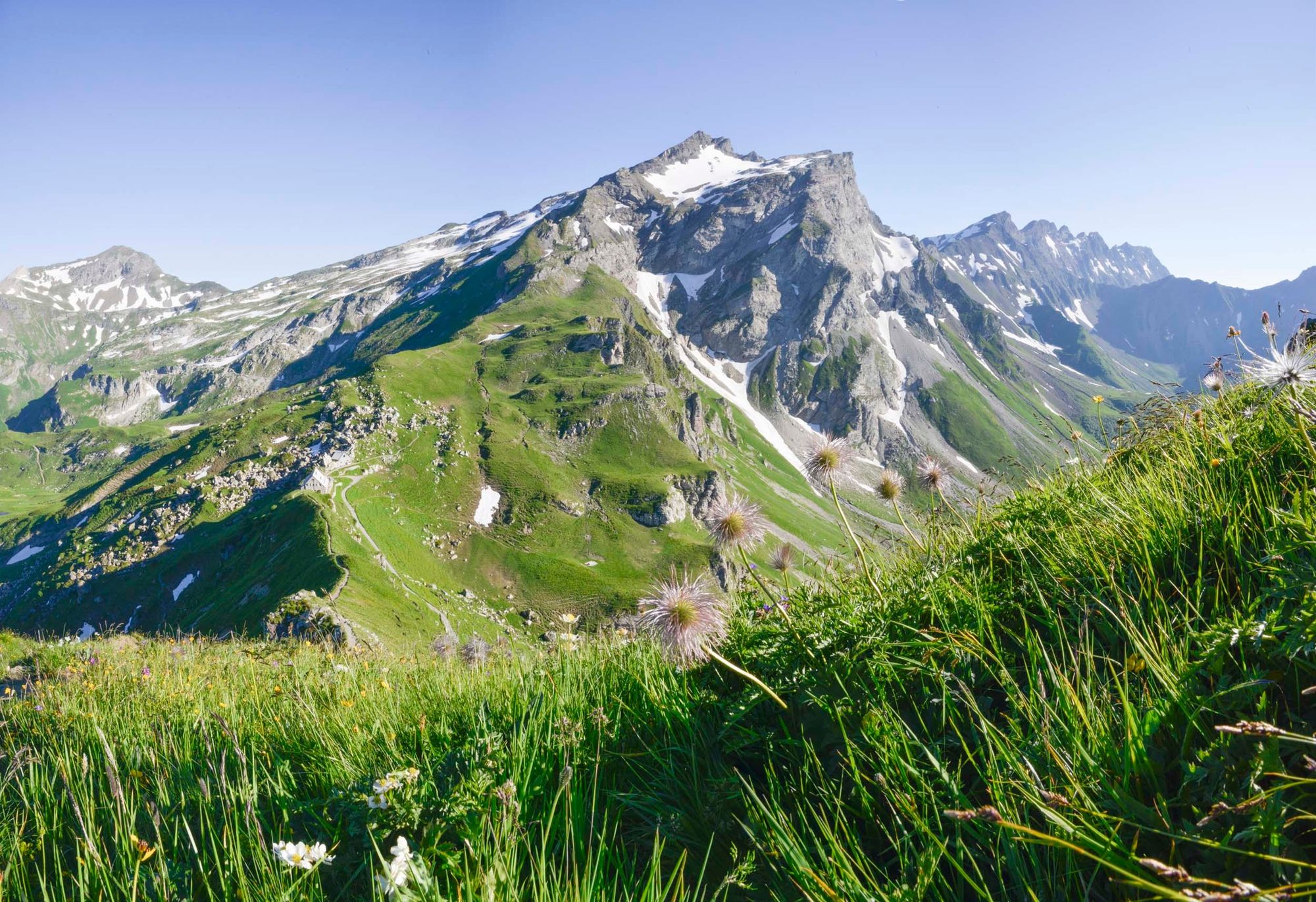
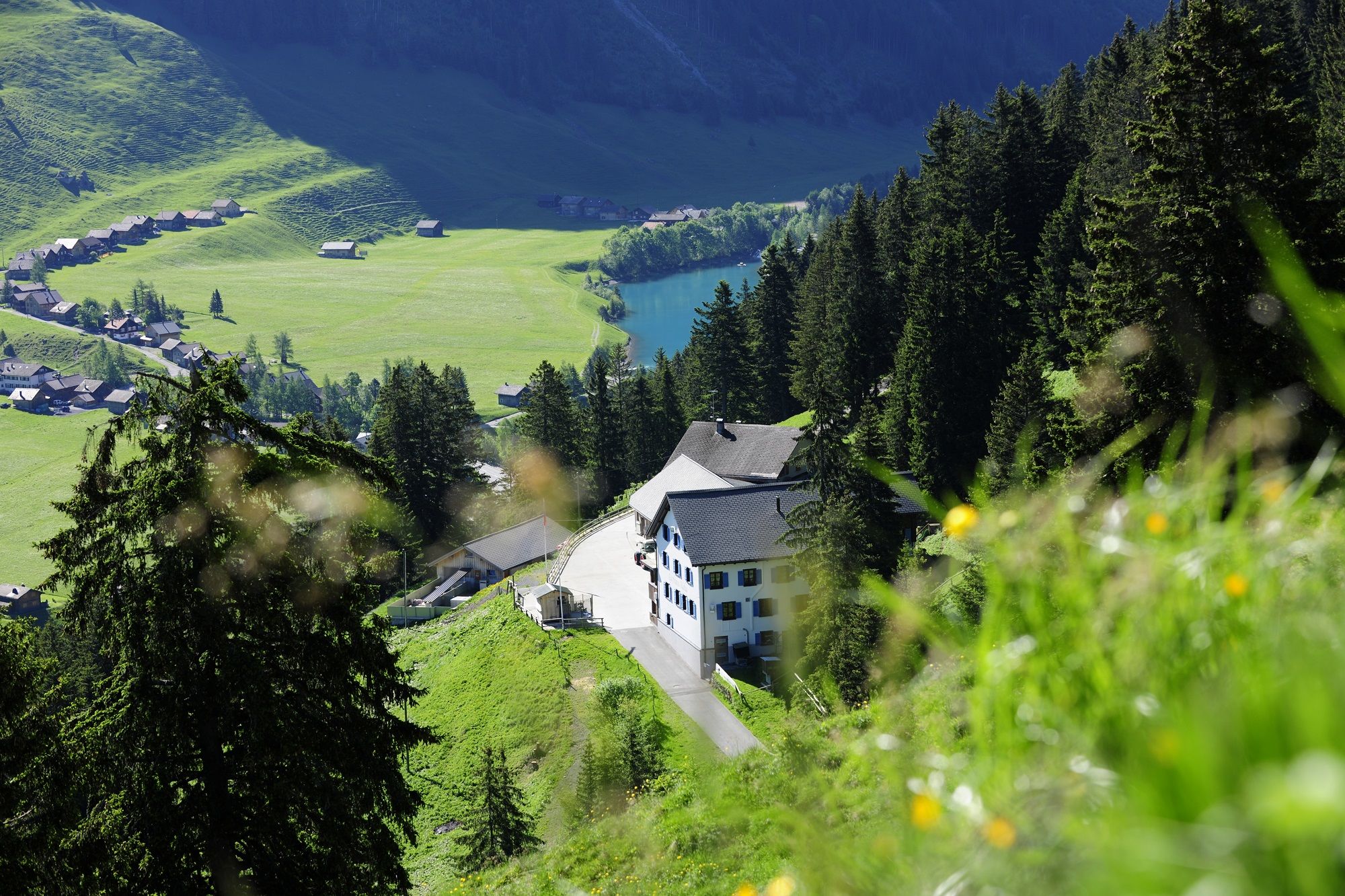
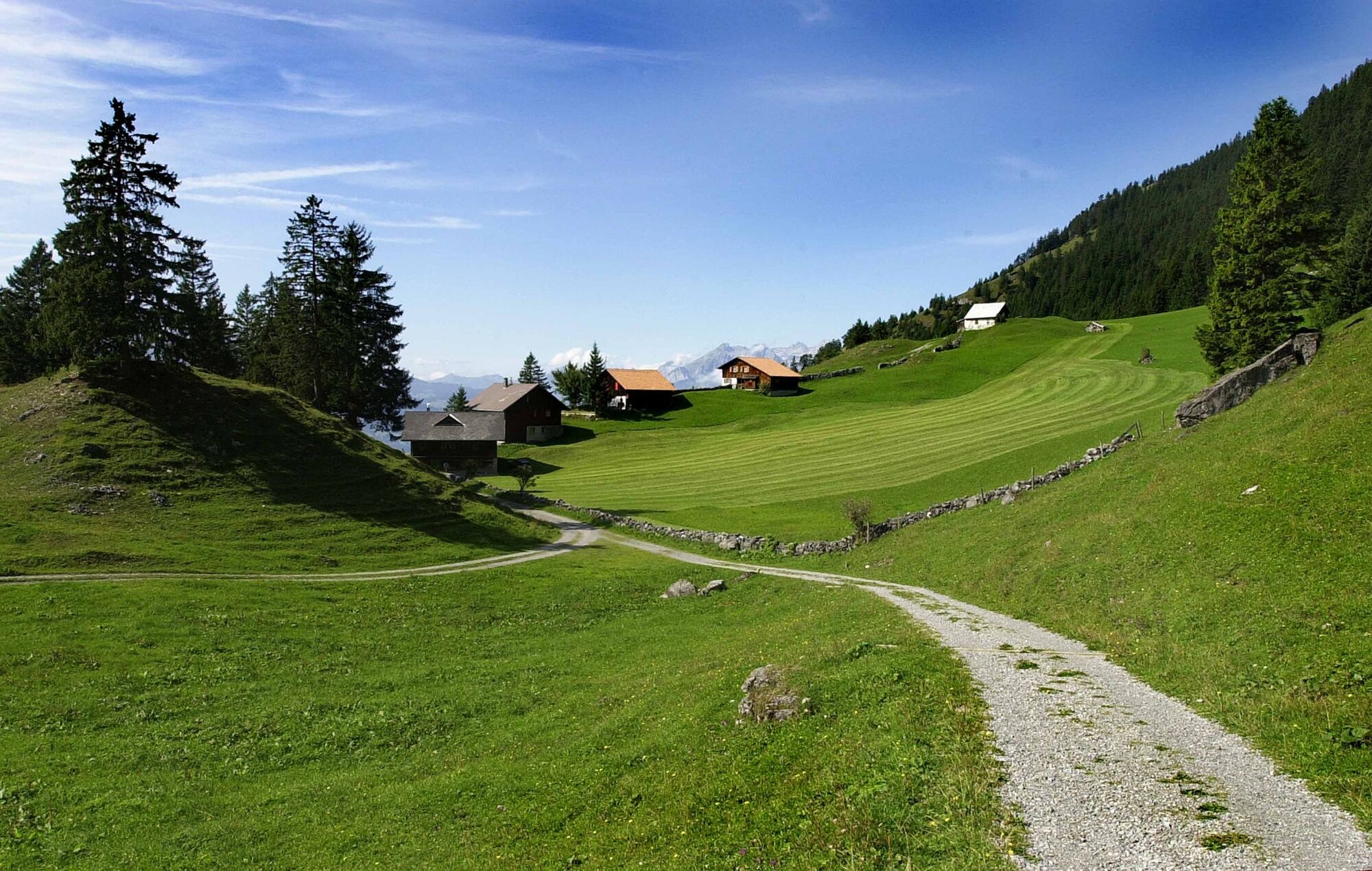
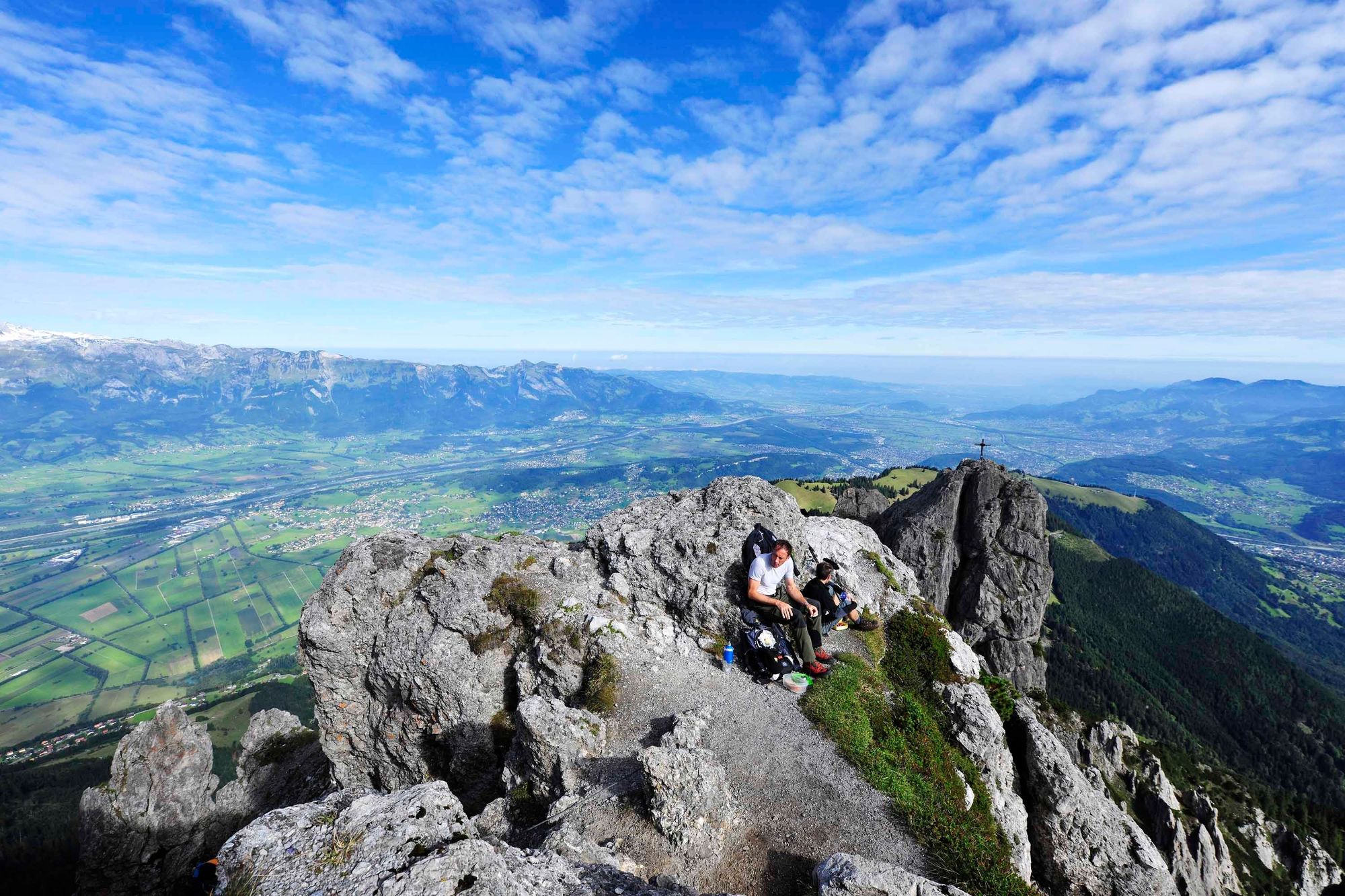
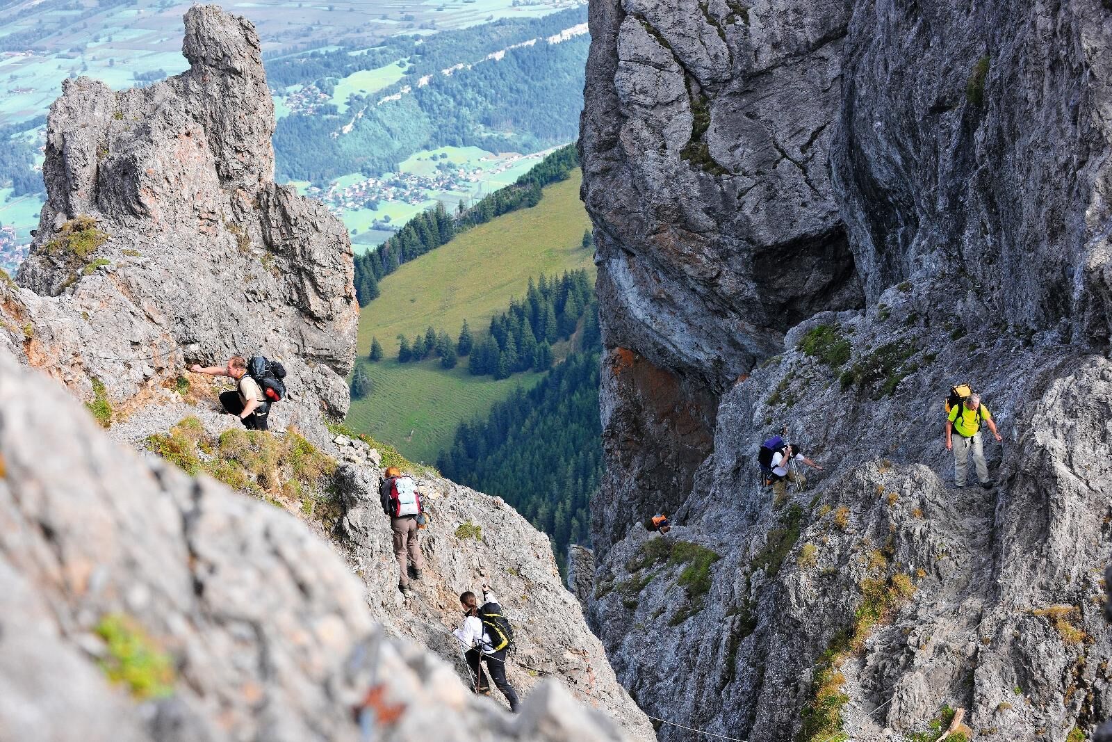
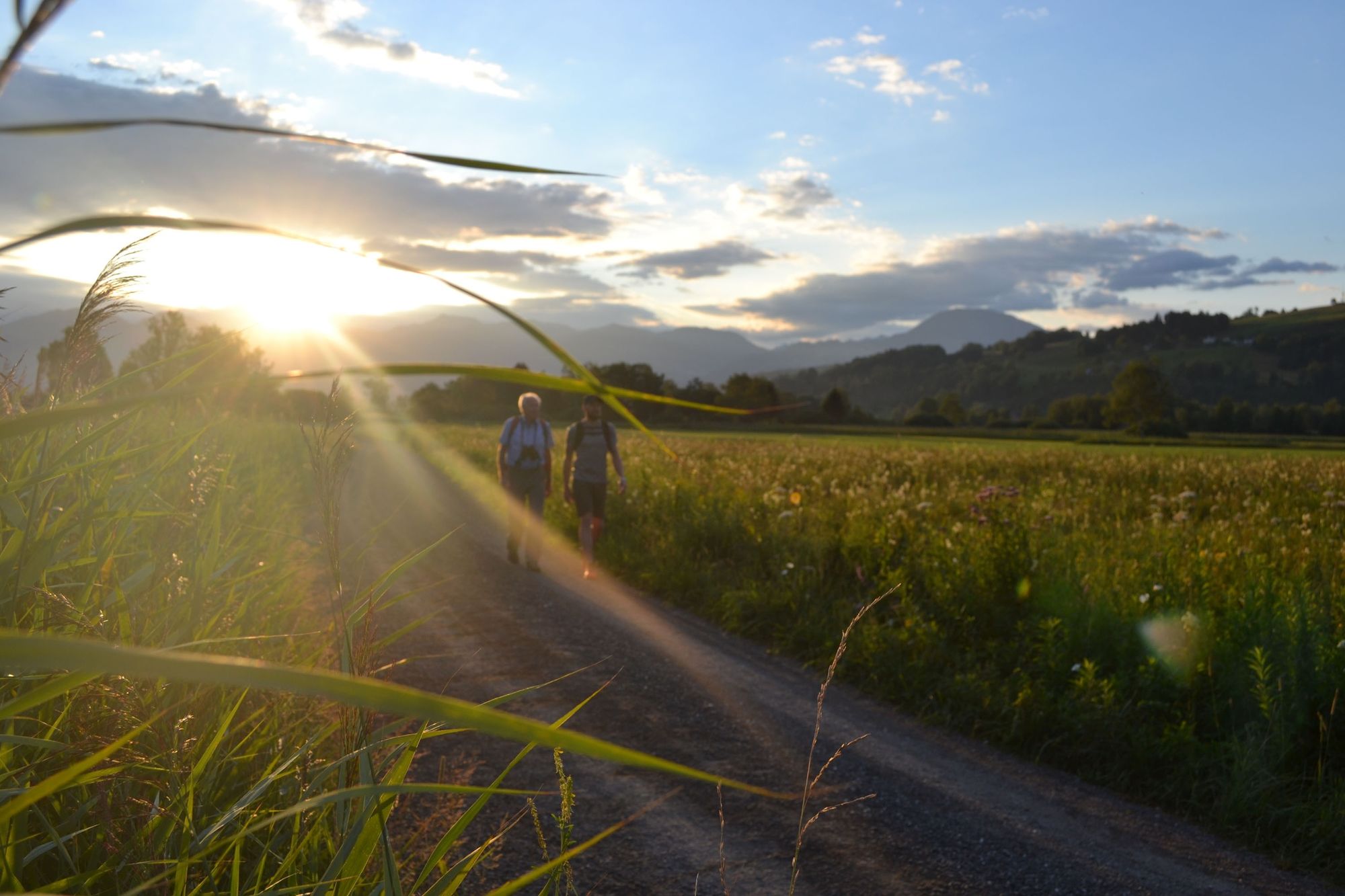
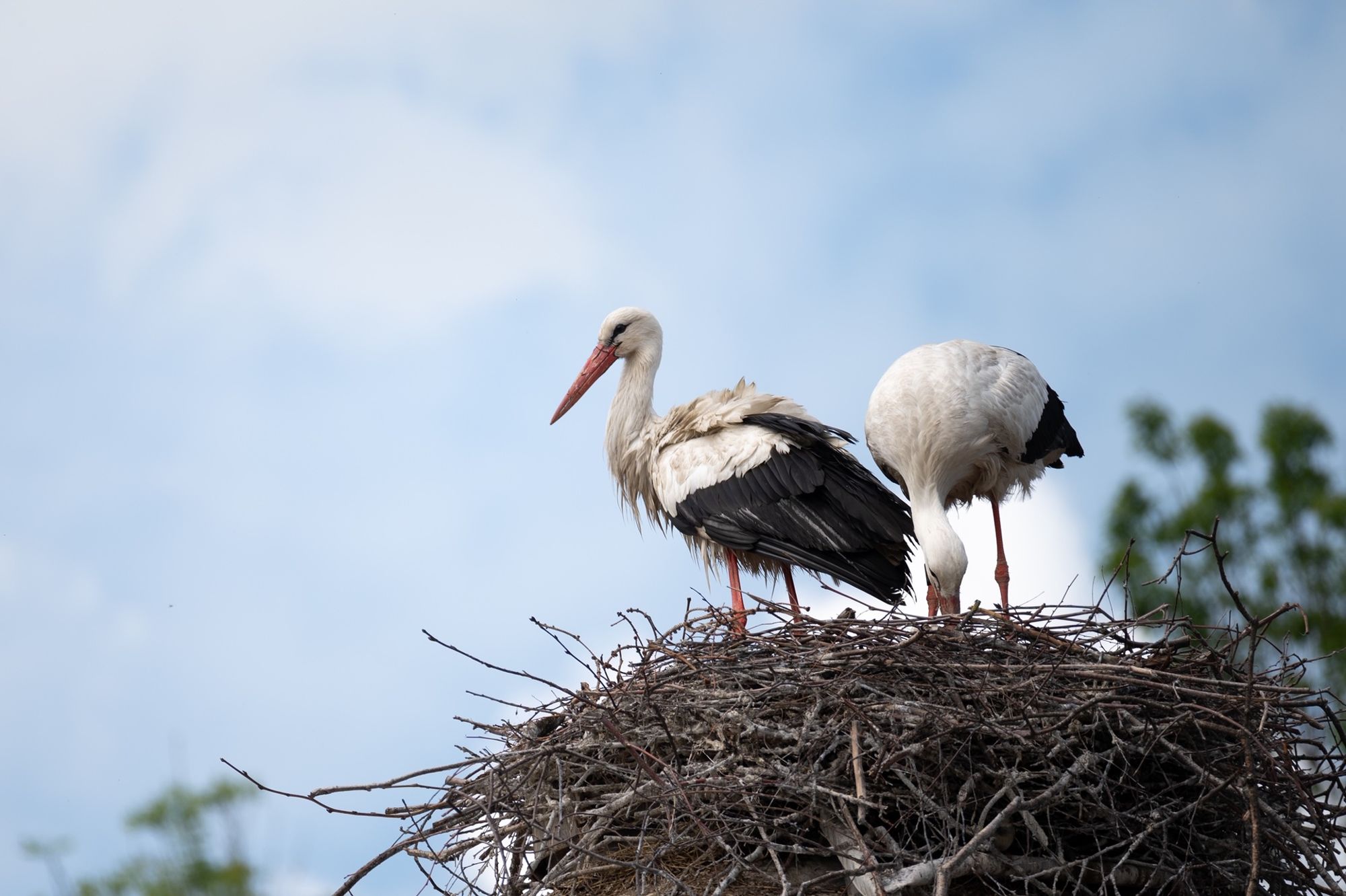
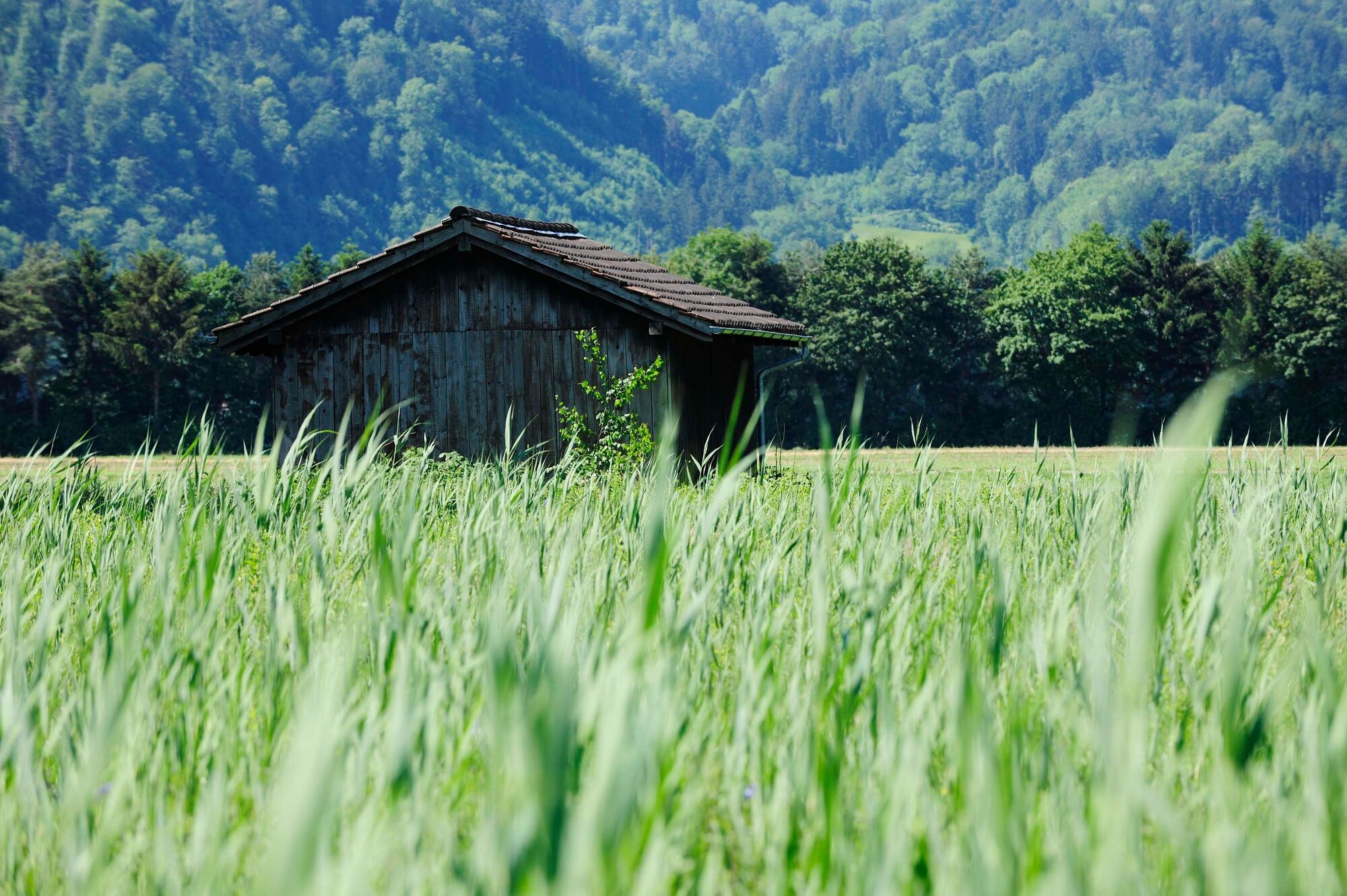
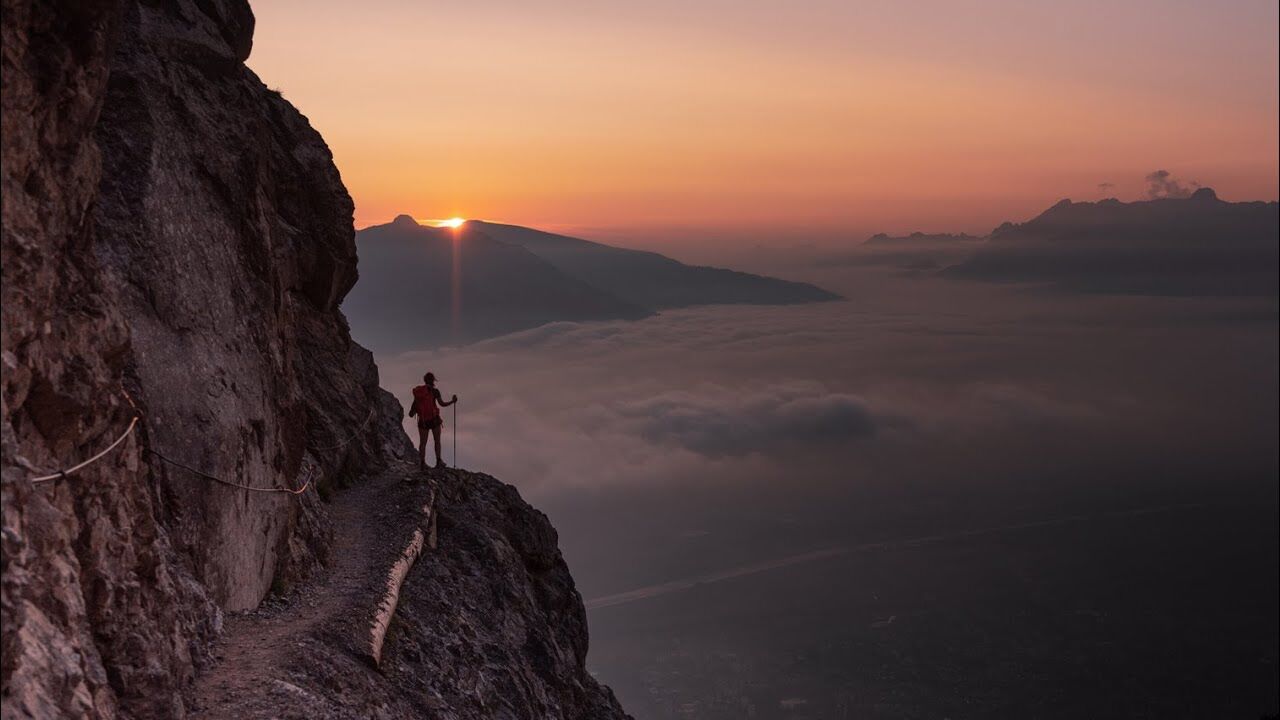
The Alps don't stop at Switzerland's border. And not only that: the demarcation often cuts through regions that really belong together in topographical and cultural terms. One perfect example is the Drei Schwestern massif. If they were in the middle of Switzerland, they would certainly be as well known as the Mythen. Similar in rock structure, but the Drei Schwestern (three sisters) are more extensive and slightly more Alpine. Reason enough to pay your respects and head for them on the Liechtensteiner Höhenweg.At first the route runs parallel to the Fürstin-Gina-Weg, which is not only interesting from a landscape point of view, but also in cultural terms. Or does Switzerland have a mountain-summit cross to compare with the one on Augstenberg, donated by an «Association of Friends of Nativity»? Apart from this, various other chapels and religious symbols give a deep insight into the religious character of the Liechtenstein people, just as the stately residences do into their often well-filled wallets. And when even the forest paths on the Schellenberg are illuminated, things become really impressive.The classic high-level trail can be hiked in three one-day stages and offers fantastic views down to and across the Voralberg, the Rhine Valley and even to the Bodensee and summits of the Swiss Alps. The spectacular route leads along safe trails, over ridges, mountain slopes and finally the rocky crags of the Drei Schwestern, which according to legend, were formed by three sisters who preferred picking berries on a Sunday rather than going to church and were turned to stone.
- Highest point
- 2,353 m
- Endpoint
-
Ruggell
- Height profile
-
 © outdooractive.com
 - Safety instructions
-
Going on a tour requires careful planning. We recommend that you discuss the routes and weather conditions with the local information points in advance. Depending on the season and weather conditions, this route may be closed or interrupted.
- Tips
-
Overnight stay at Pfälzerhütte hut.


-

-
AuthorThe tour Liechtenstein panorama trail is used by outdooractive.com provided.


General info
-
Heidiland
2201
-
Liechtenstein
1289
-
Planken
316


