


- Brief description
-
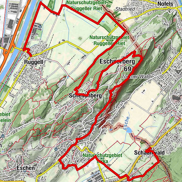
From Ruggell the stage leads us via Schellenberg through Mauren to Schaanwald.
- Difficulty
-
easy
- Rating
-
- Route
-
Ruggell (433 m)Schellenberg (626 m)7.8 kmSankt Georg9.3 kmHinterschellenberg9.4 kmWirtschaft zum Löwen9.7 kmFeldkirch10.4 kmEschnerberg (697 m)10.6 kmHinterer Gantenstein (695 m)10.9 kmGasthaus Weinlaube11.8 kmMauren (453 m)13.9 kmGasthaus zum Hirschen14.1 kmMai Thai14.3 kmSchaanwald19.0 kmFeldkirch19.3 km
- Best season
-
JanFebMarAprMayJunJulAugSepOctNovDec
- Description
-
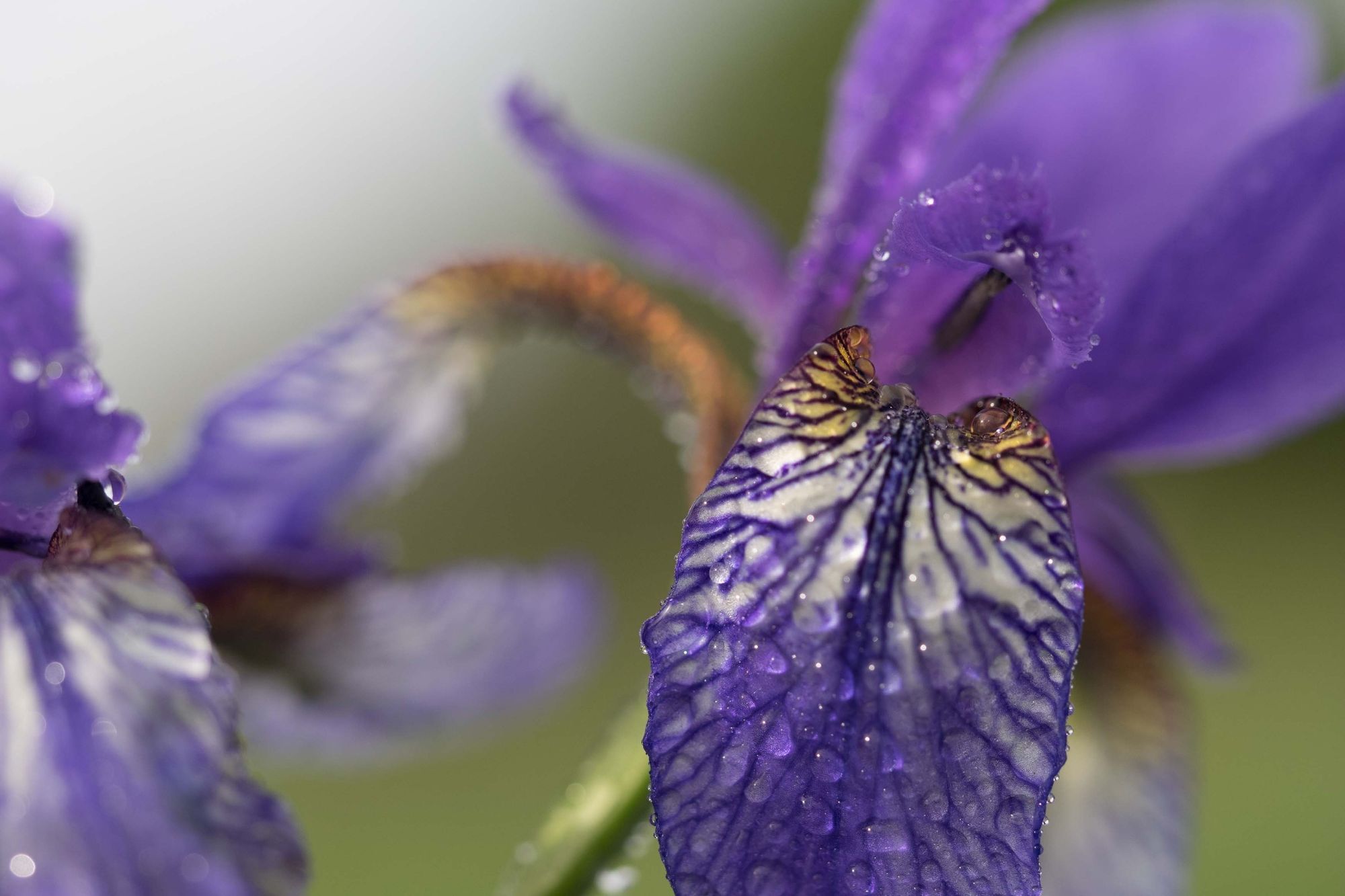
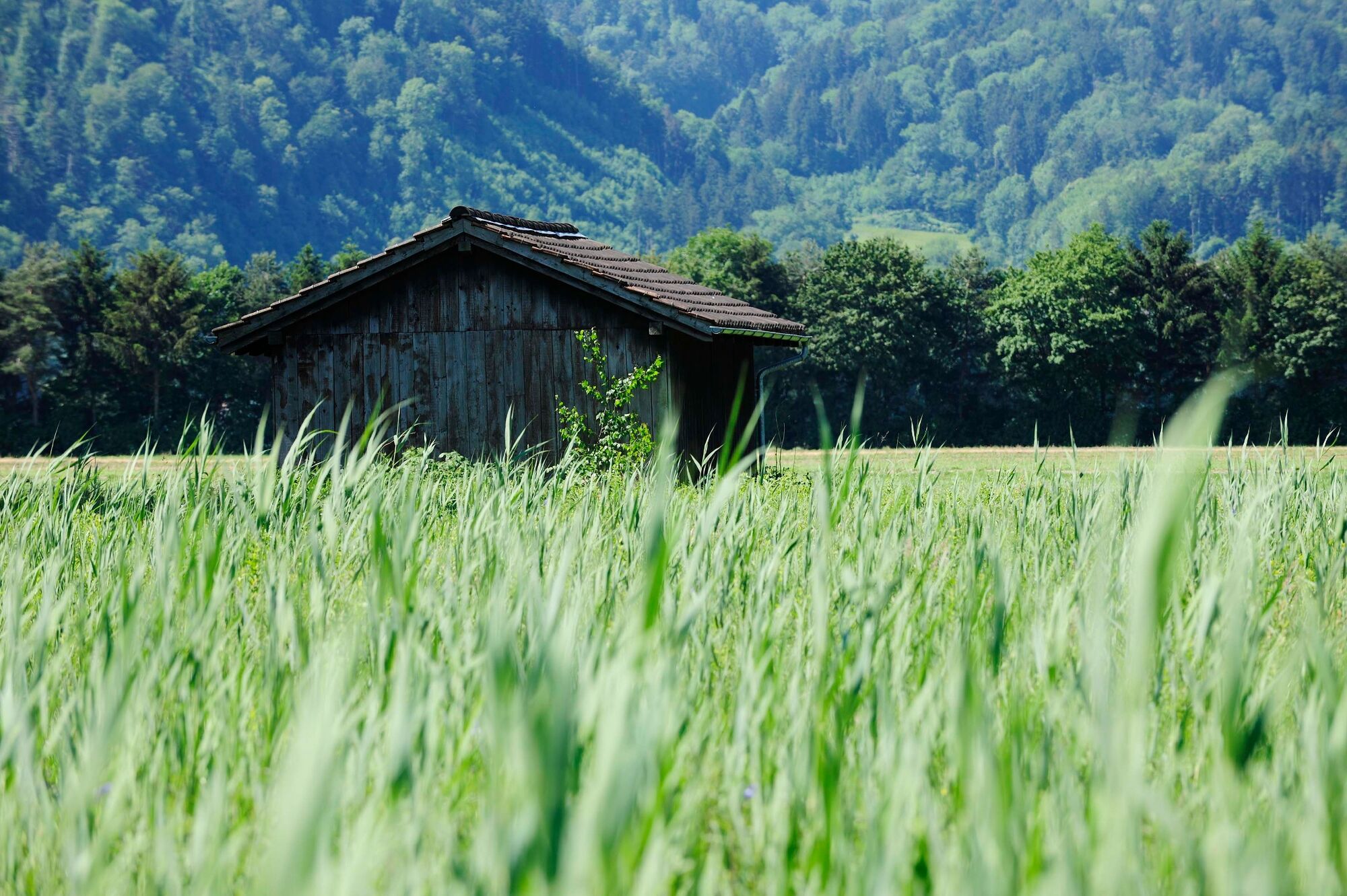
In Ruggell we first reach a building known as the Küefer-Martis-Huus. The listed house from the 18th century is the cultural centre of the municipality. The route then continues over the dam to Ruggeller Riet, a 220-acre nature reserve in northern Liechtenstein bosting a fine array of fauna and flora. This flat wetland section is followed by a steep climb to Schellenberg, where we first pass the ruins of the Lower Castle. After making our way past the monastery we reach the village centre of Schellenberg.
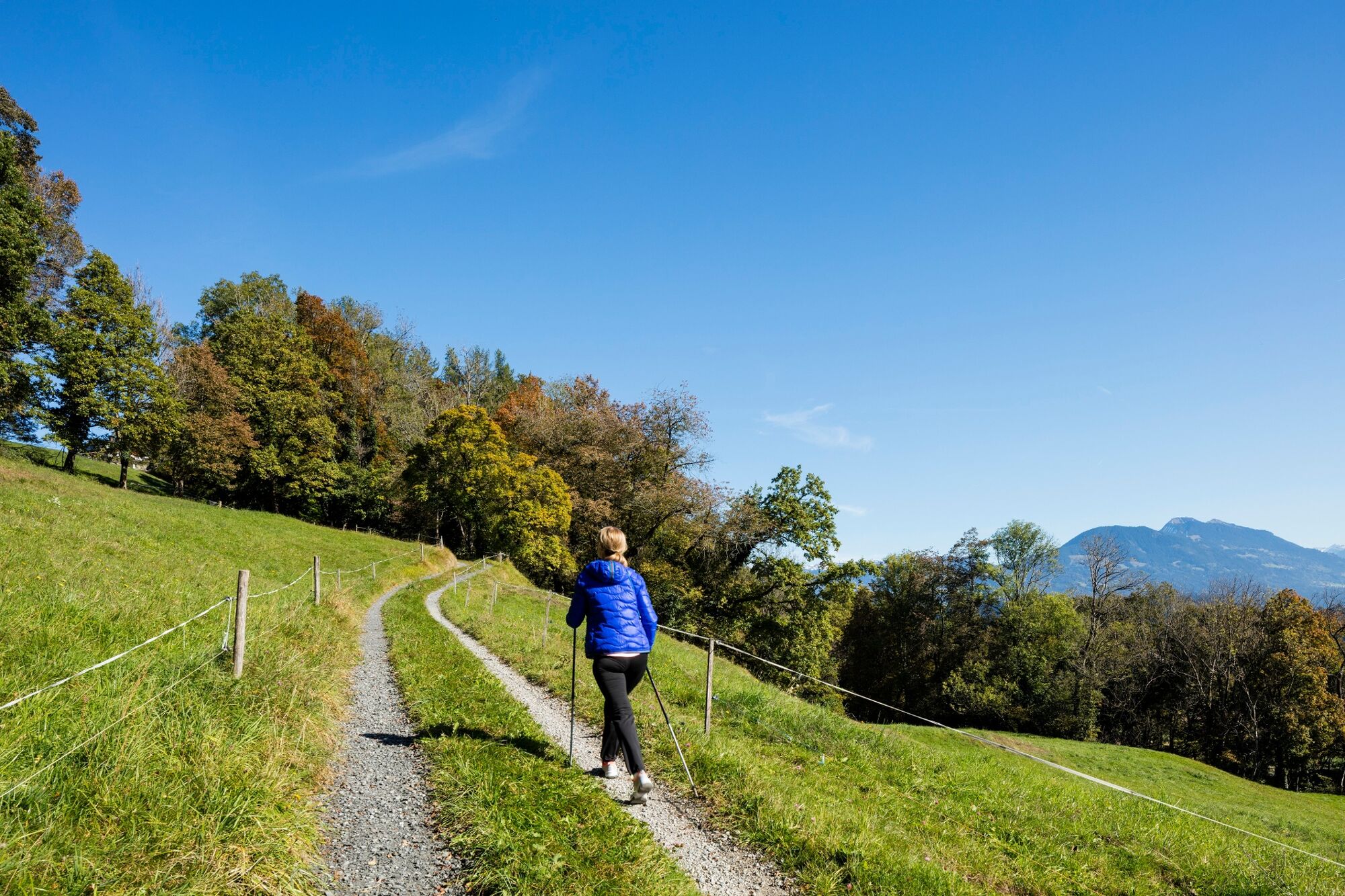
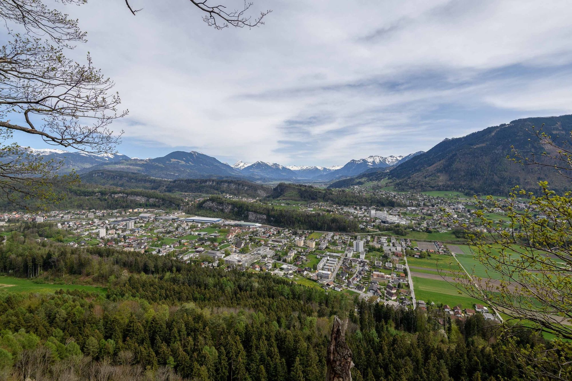
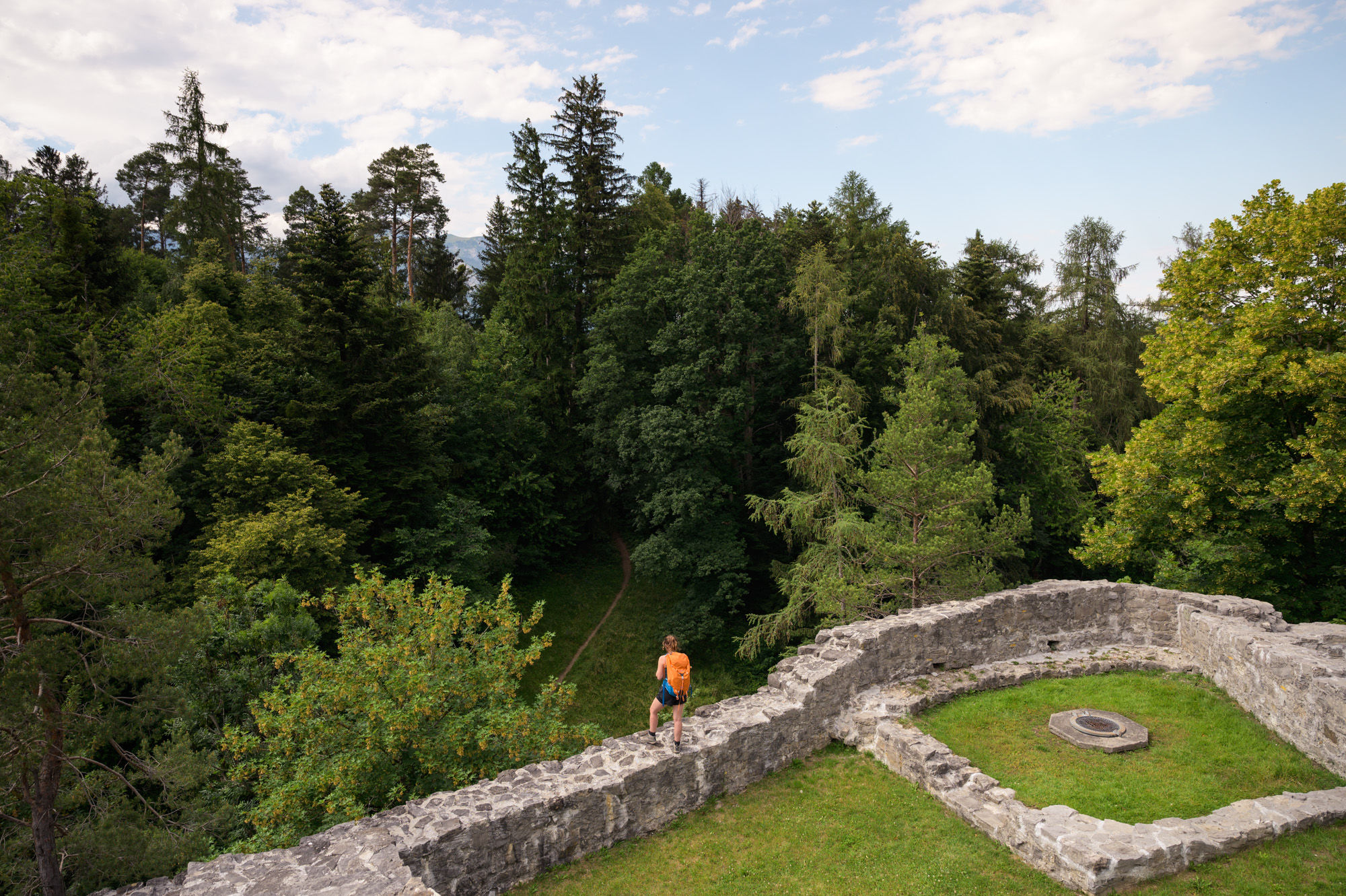
In Schellenberg we pass the sports field and then continue to Hinterschellenberg near the Austrian border. On clear days walkers can see as far as Lake Constance. A hiking trail narrow in places leads us through the forest along the Gantenstein mountain to the Upper Castle in Schellenberg. This is a good place to rest. The route then heads along a former smuggling trail down into the village centre of Mauren as far as the post office. As walkers approach the village they will be able to see from afar the St. Peter & Paul Parish Church in the centre of Mauren.
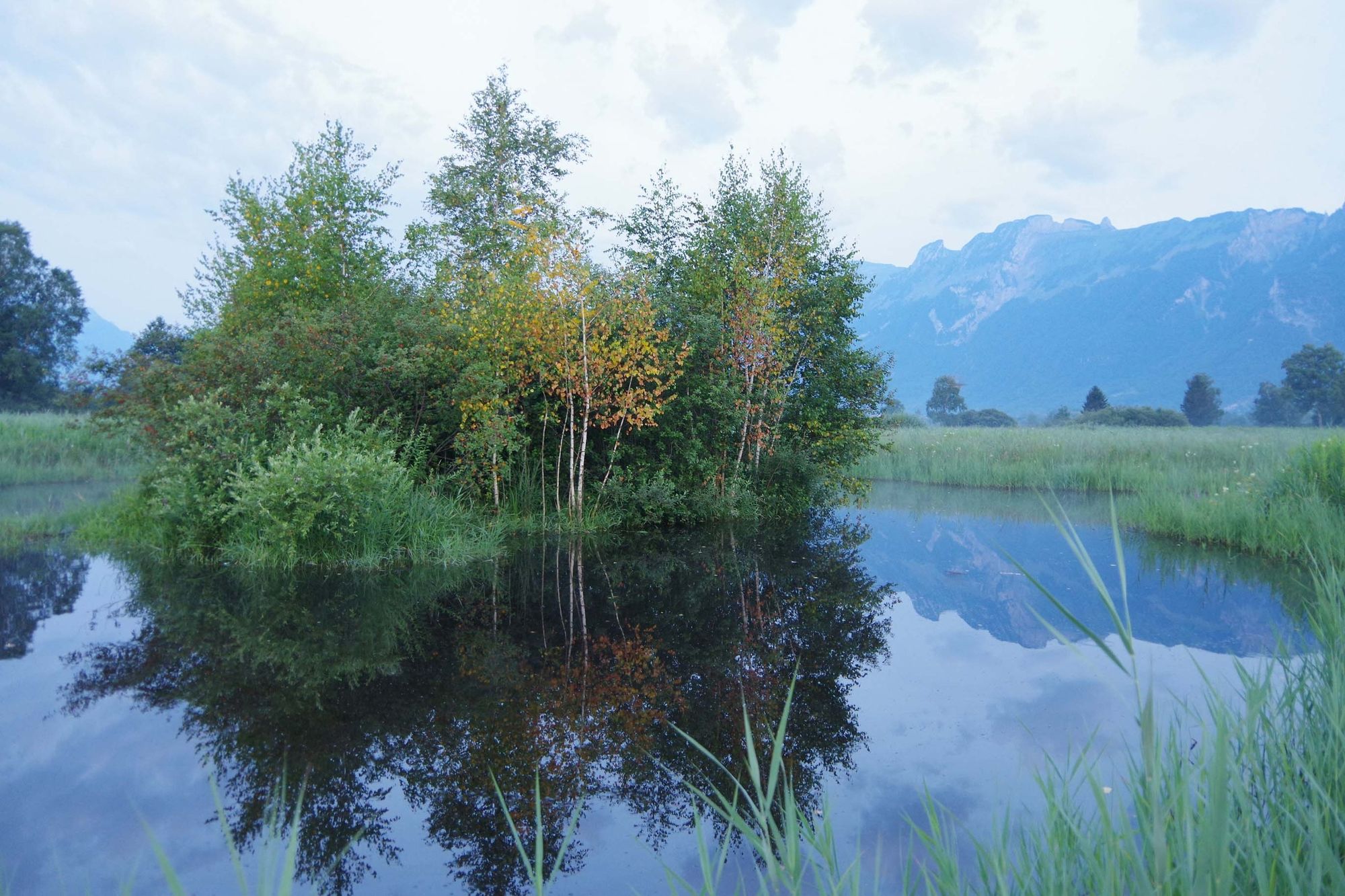
From the village centre of Mauren, the trail leads us first slightly uphill to Fallsgass and then down to the Silk Tree Trail. The name derives from the fact that mulberry trees were formerly used in silk production. Afterwards we reach the Birka bird paradise, where we stop for a rest. We recommend you take the opportunity to look at the memorial plaque commemorating the flooding of the Rhine in 1927 and showing how high the water rose at that time. We then pass the wetlands of the Maurer Riet and the Funkenplatz Schaanwald, where traditional bonfire celebrations are held each winter, before reaching the customs office on the border between Liechtenstein and Austria.
- Highest point
- 690 m
- Endpoint
-
Zollamt, Schaanwald
- Height profile
-
 © outdooractive.com
 - Safety instructions
-
Please be quiet when passing through the Ruggeller Riet and stay on the trail at all times so as not to disturb the animals. The climb from Ruggell to Schellenberg is very steep. At Hinterschellenberg there is a short ascent.
Going on a tour requires careful planning. We recommend that you discuss the routes and weather conditions with the local information points in advance. Depending on the season and weather conditions, this route may be closed or interrupted.
- Tips
-
The "LIstory" app has been specially developed to accompany walkers and hikers on the Liechtenstein Trail. The app can be downloaded free of charge.
- Additional information
-
Liechtenstein Trail Packages
6 days and 5 nights on the Liechtenstein Trail
3 days and 2 nights on the Liechtenstien Trail
Luggage transport service
If you want to enjoy the Liechtenstein Trail carefree, you don't want to load yourself unnecessarily with luggage. When you book one of the accommodation offers, the luggage transport service is integrated.


-

-
AuthorThe tour Liechtenstein Trail: Stage 5 Ruggell-Schaanwald is used by outdooractive.com provided.


General info
-
Appenzellerland
1956
-
Liechtenstein
1289
-
Schellenberg
297


