


- Brief description
-
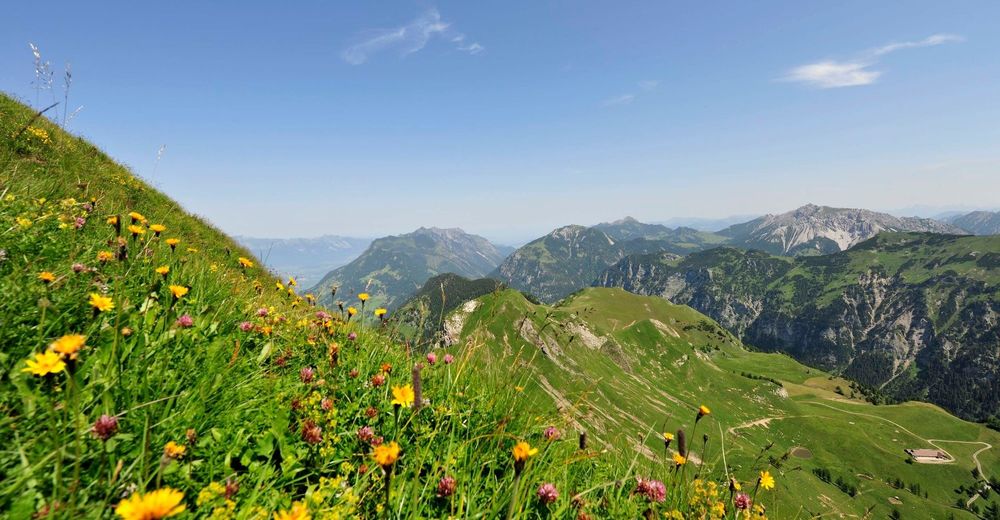
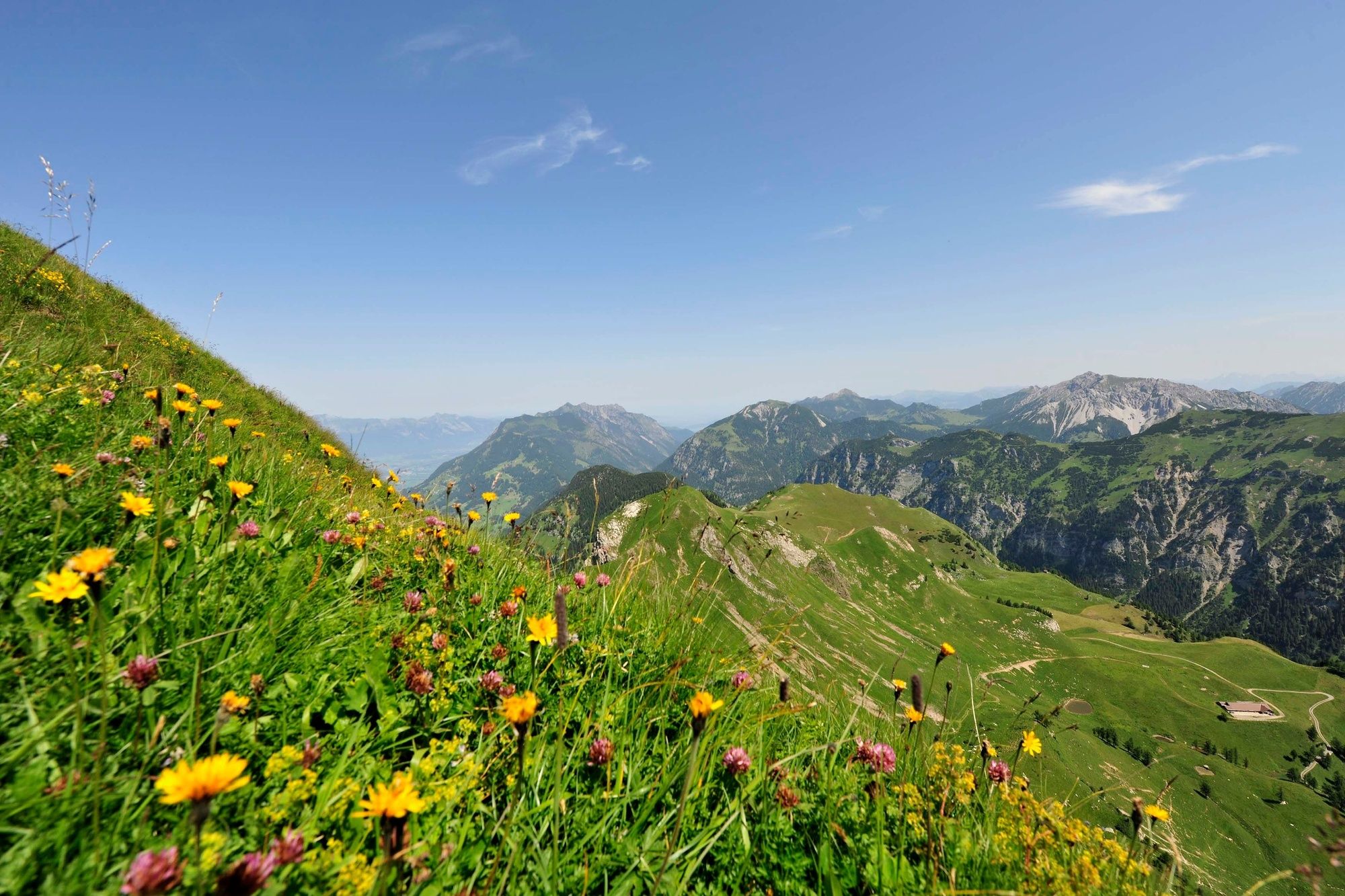
This hike leads along a ridgetop path through impressive scenery to the Rappenstein (2222 metres), a high mountain crowned by a mighty cross on its summit.
- Difficulty
-
difficult
- Rating
-
- Starting point
-
Gängle lake in Steg
- Route
-
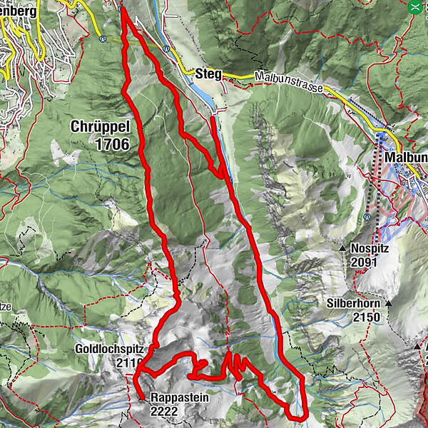
Steg2.0 kmWisli2.4 kmChrüppel (1,706 m)4.9 kmKolm (1,993 m)7.3 kmGoldlochspitz (2,110 m)8.2 kmRappastein (2,222 m)9.0 kmGapfahl-Obersäss (1,879 m)10.6 kmValüna-Säss (1,409 m)15.2 kmAlp Valüna15.3 kmValüna15.3 kmKlotzeck16.0 kmSteg18.0 km
- Best season
-
JanFebMarAprMayJunJulAugSepOctNovDec
- Description
-
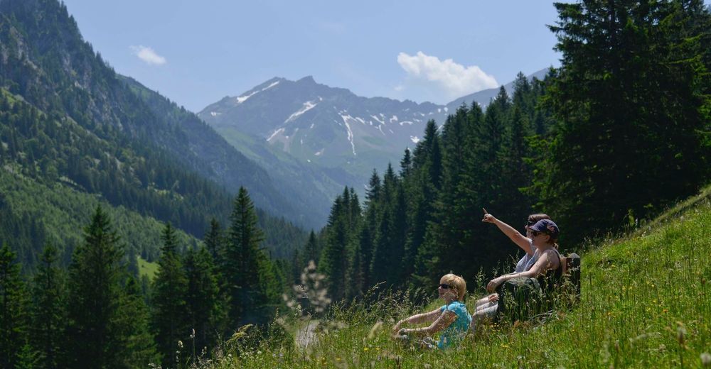
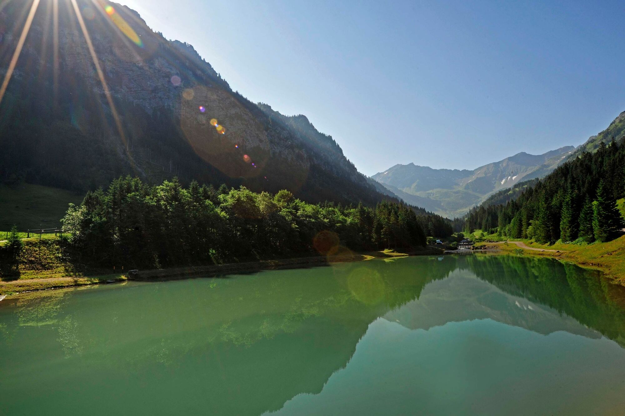
From Steg, the first climb leads to the Berggasthaus Sücka mountain in. At Kulm, the hiking trail then branches off sharply left onto the ridgetop path along the main ridge of the Liechtenstein Alps. Partly in the forest, partly with brilliant panoramic views, this up-and-down path follows the ridge over Chrüppel and Heubüal before leading to the Goldlochspitz and descending onto a saddle, where the final ascent to the summit of the Rappenstein mountain begins. To the south the huge rock faces of the Falkniskette massif dominate. The Rappenstein mountain offers hikers a magnificent panorama. On the other side of the Rhine Valley, the summits of the Glarus Alps as well as the Churfirsten and Säntis peaks in the Appenzell Alps can be seen. In good weather you can even see Lake Constance in the distance. The route back leads to the Rappenstein ridge, then right down to Alp Gapfahl and from there down into the Valüna Valley. Finally, a wide dirt road leads along the Valüna stream past Alp Valüna to Steg.
- Highest point
- 2,208 m
- Endpoint
-
Gängle lake in Steg
- Height profile
-
 © outdooractive.com
 - Safety instructions
-
Going on a tour requires careful planning. We recommend that you discuss the routes and weather conditions with the local information points in advance. Depending on the season and weather conditions, this route may be closed or interrupted.
- Additional information
-
Food & drink:
Berggasthaus Sücka moutain in, Alp Valüna, restaurant Bergstüble and Seeblick (in Steg)
Accommodation:
Pfälzer hut


-

-
AuthorThe tour Circular hike on the Rappenstein mountain is used by outdooractive.com provided.


General info
-
Heidiland
2207
-
Liechtenstein
1290
-
Malbun
310


