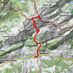
Tour data
7.93km
480
- 742m
341hm
329hm
02:09h
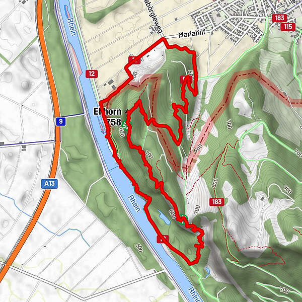
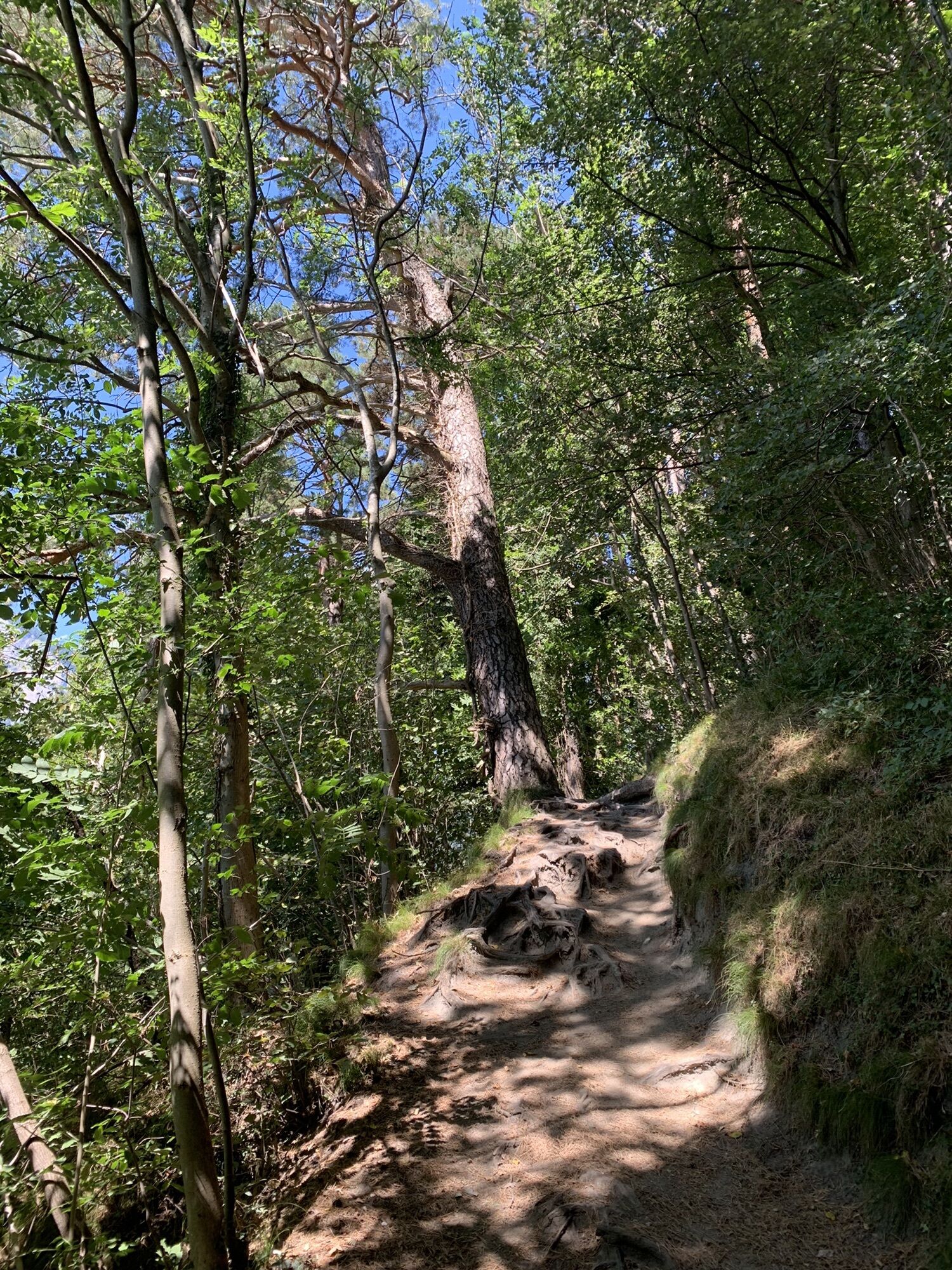
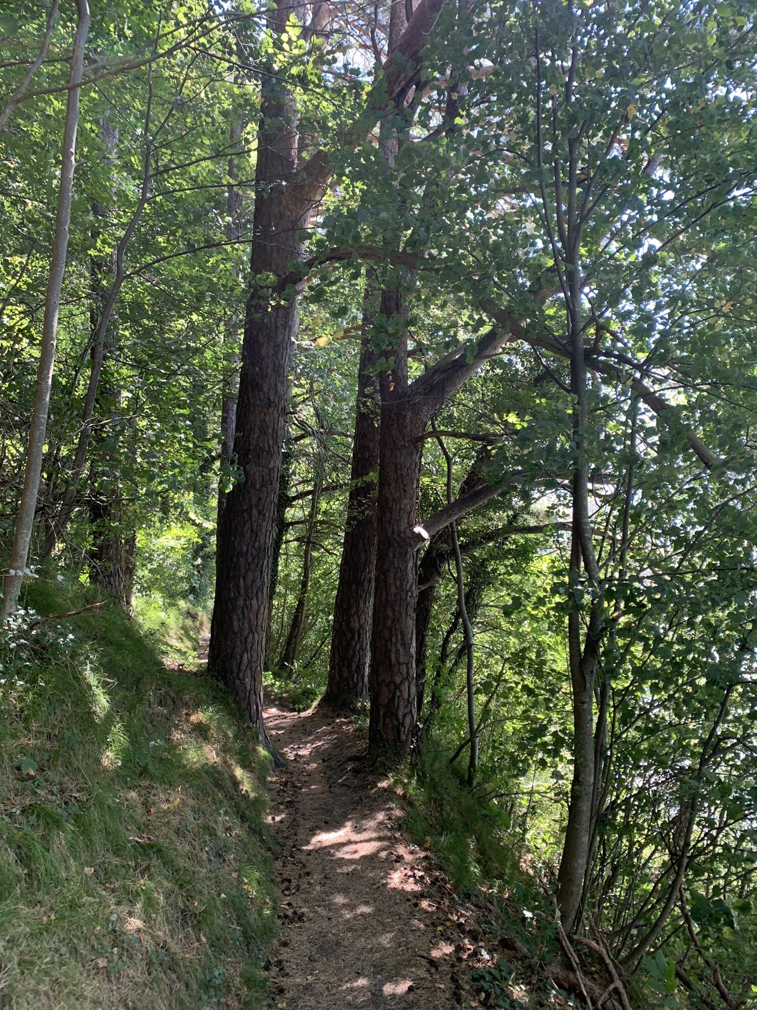
- Brief description
-
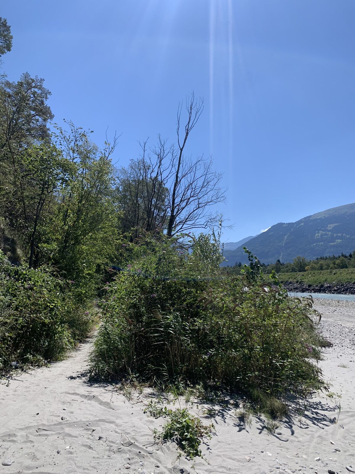
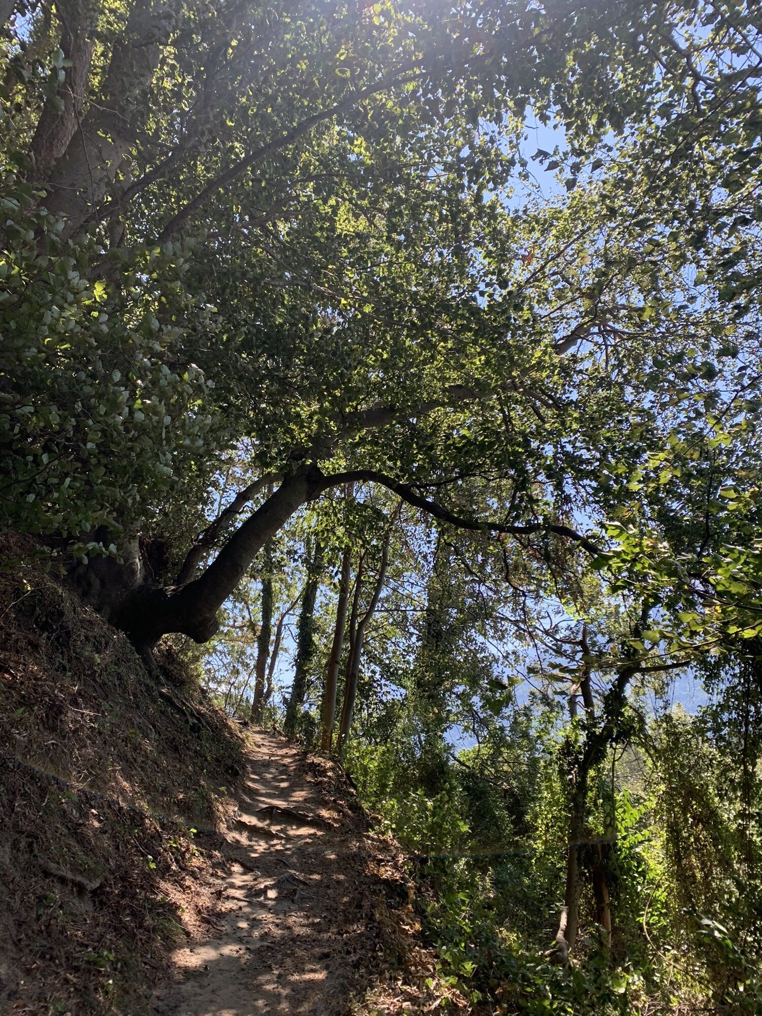
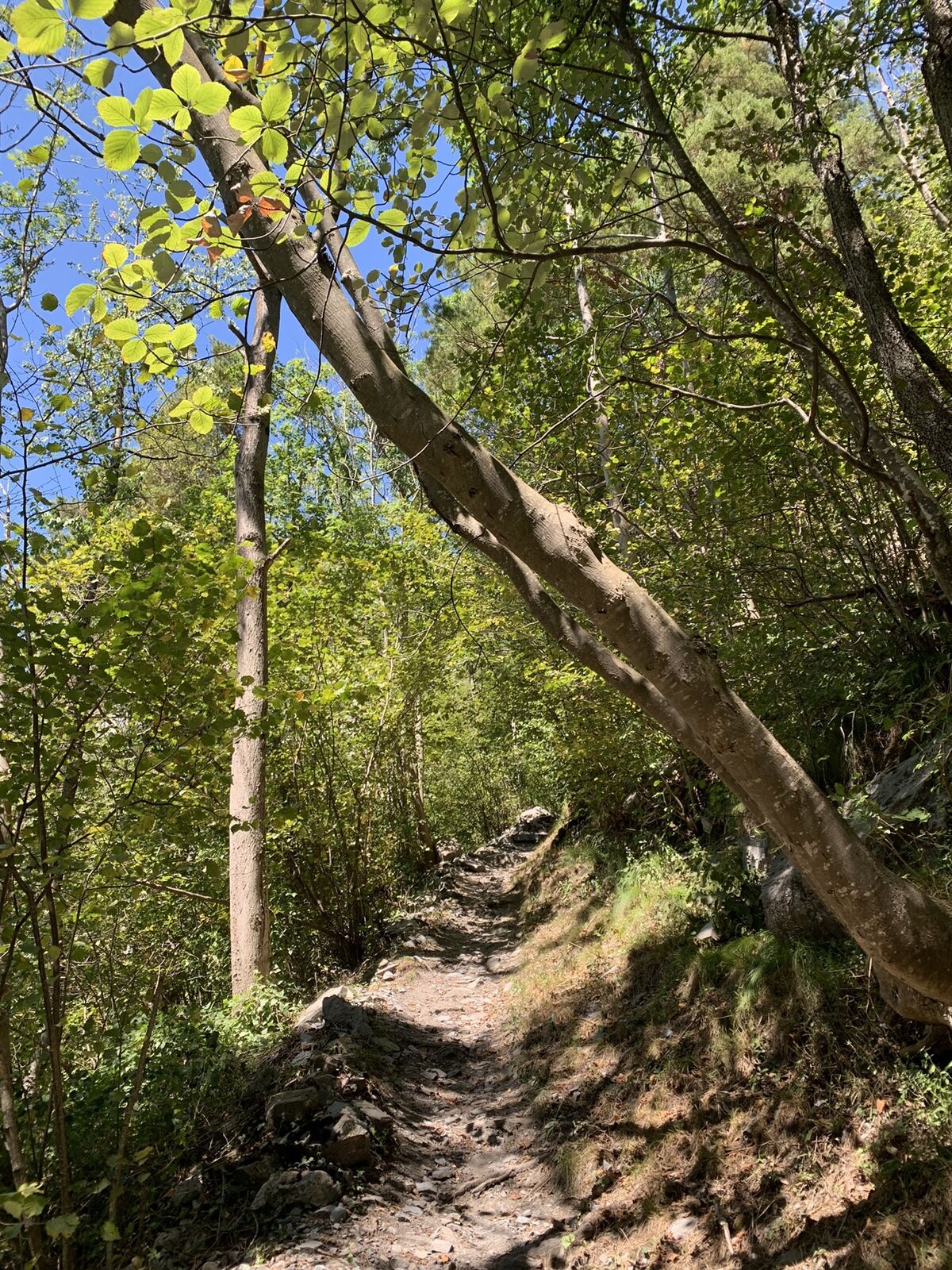
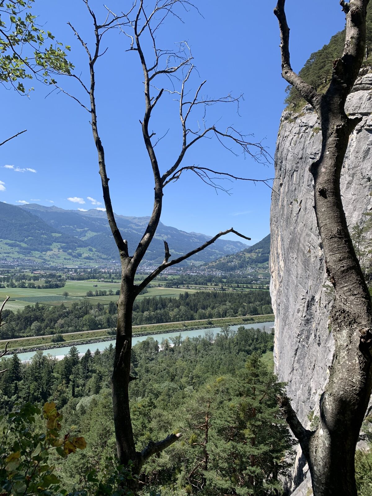
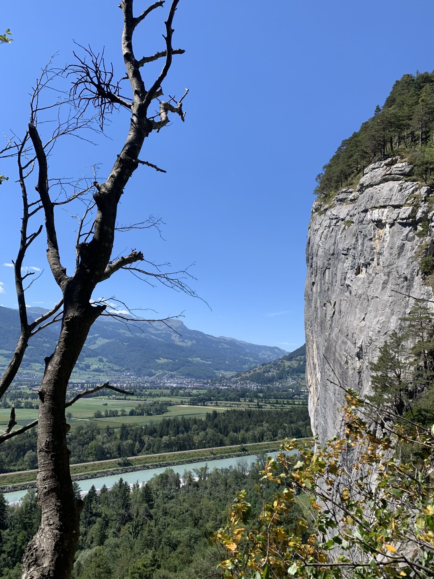
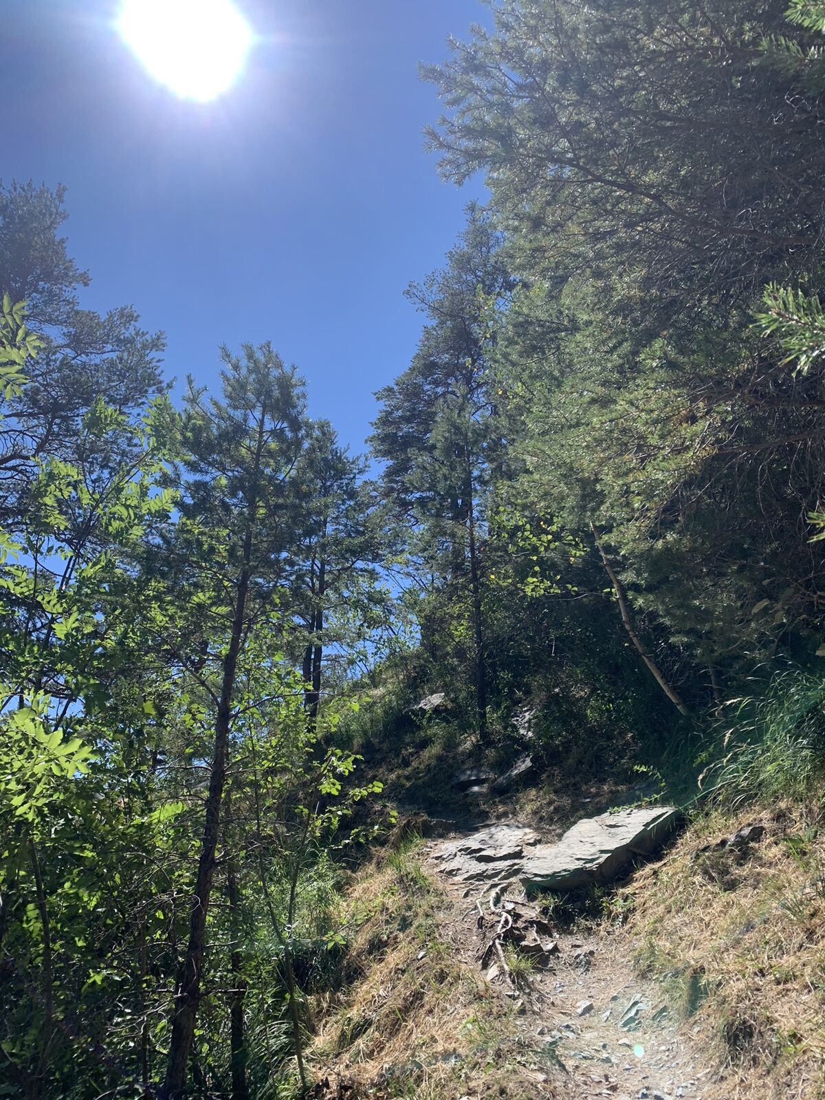
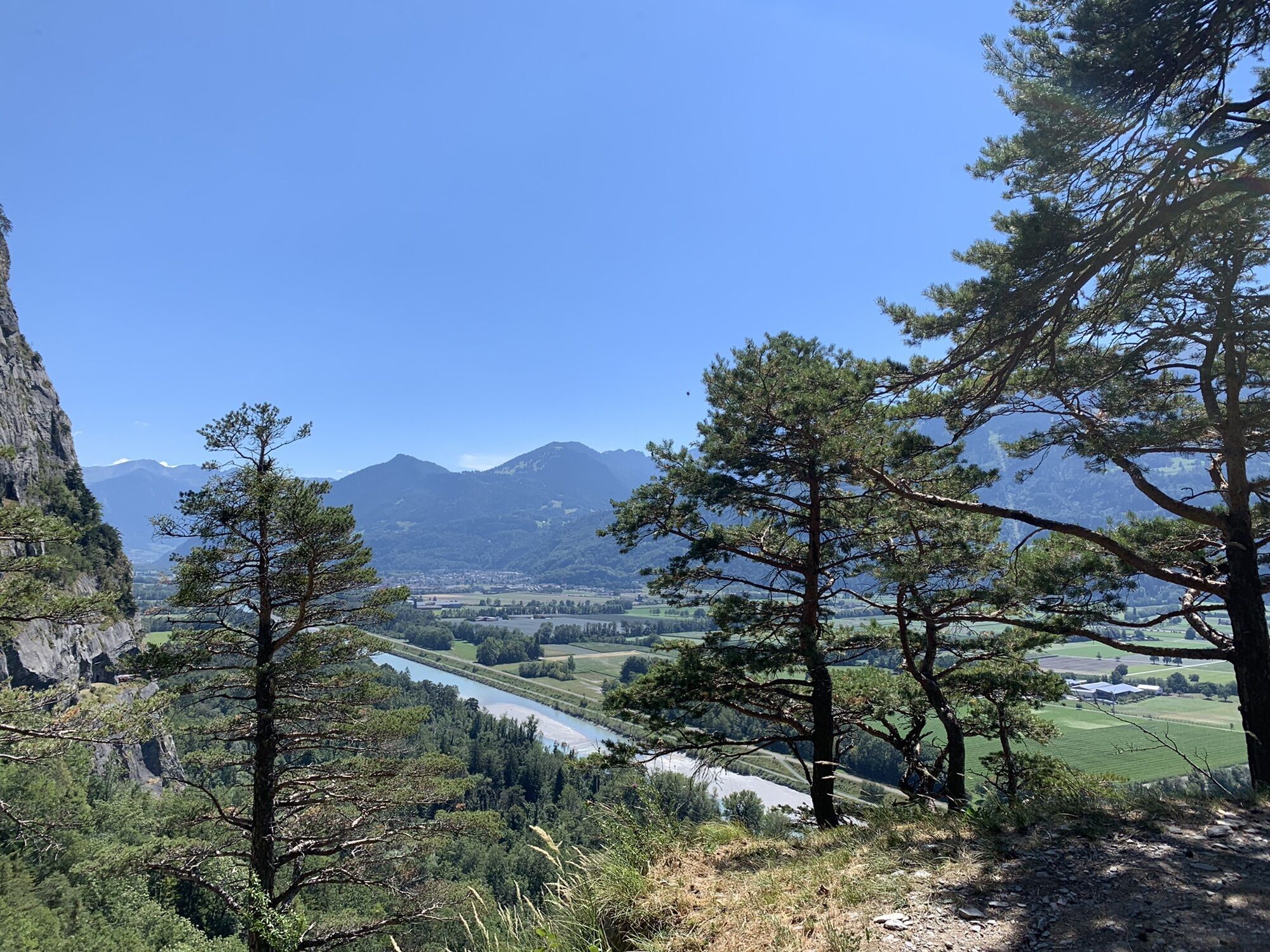
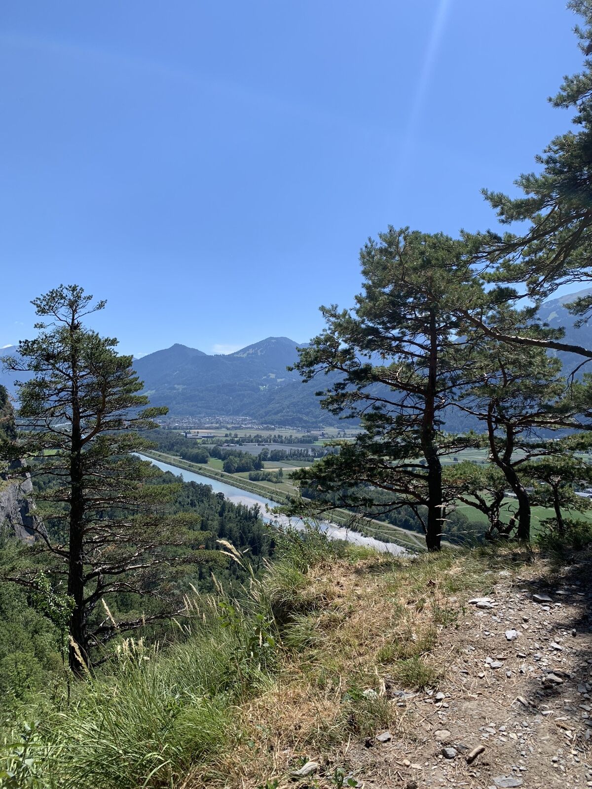
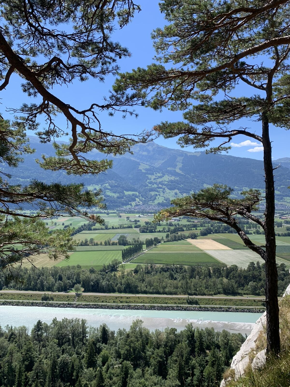
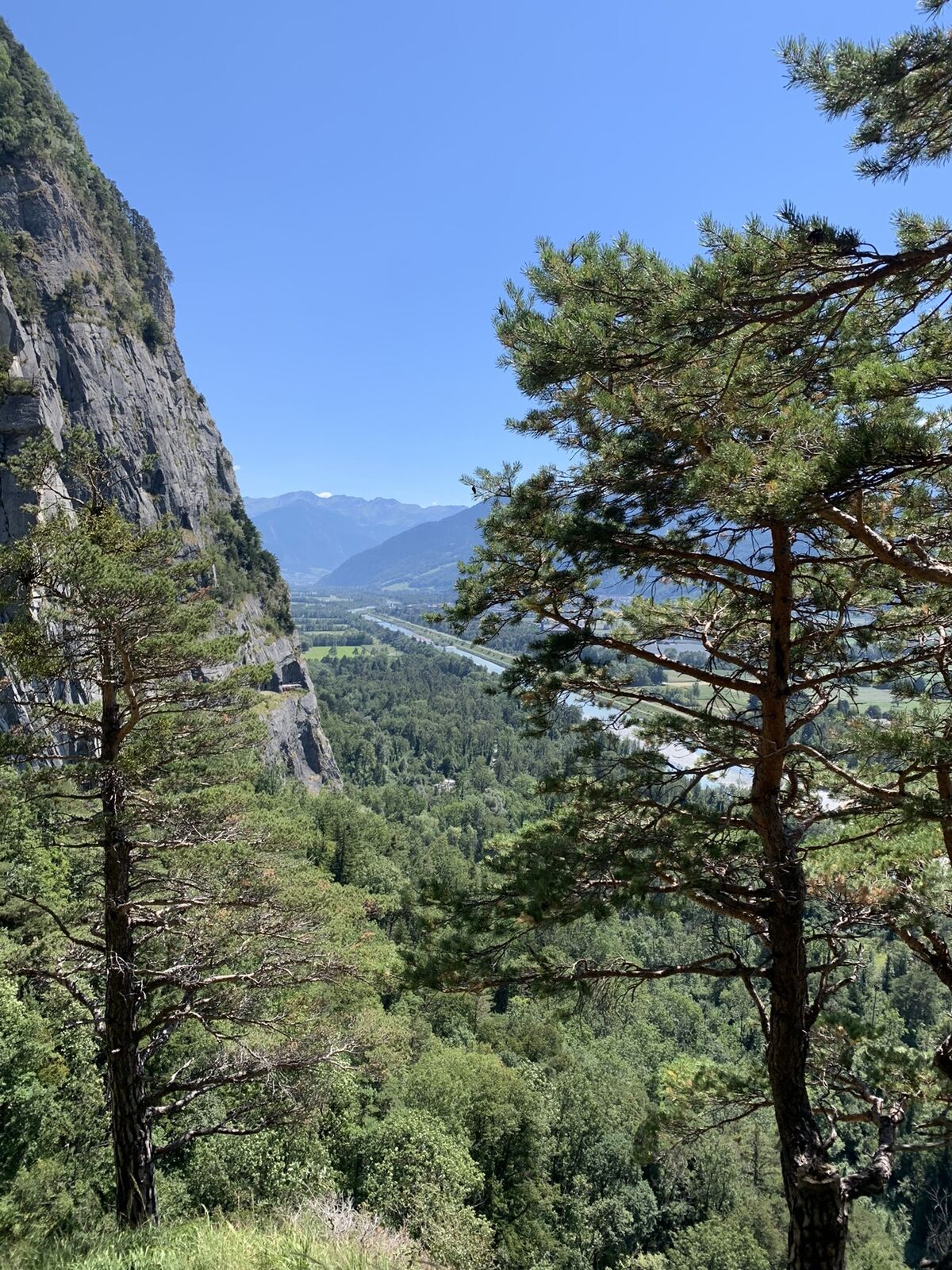
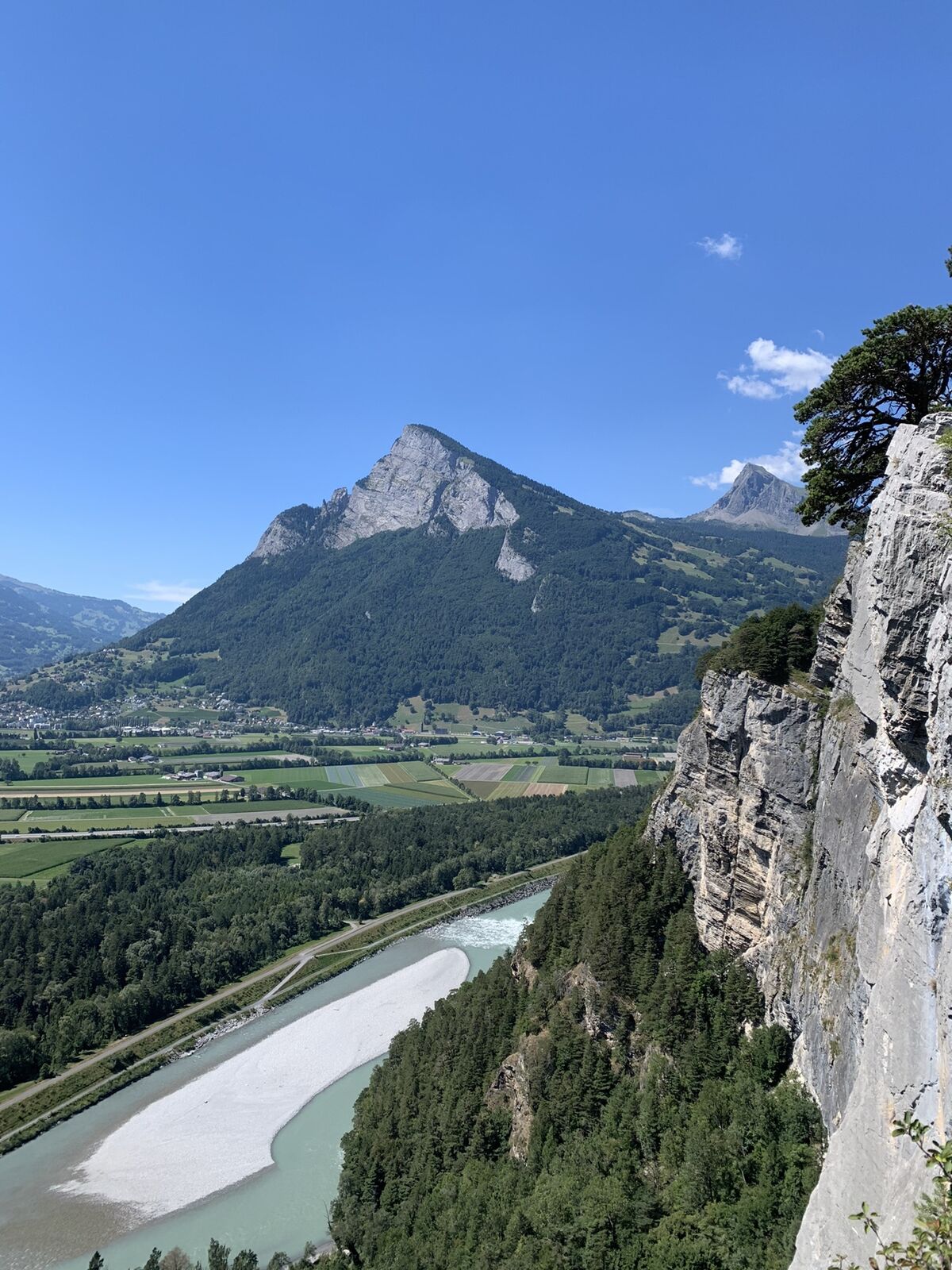
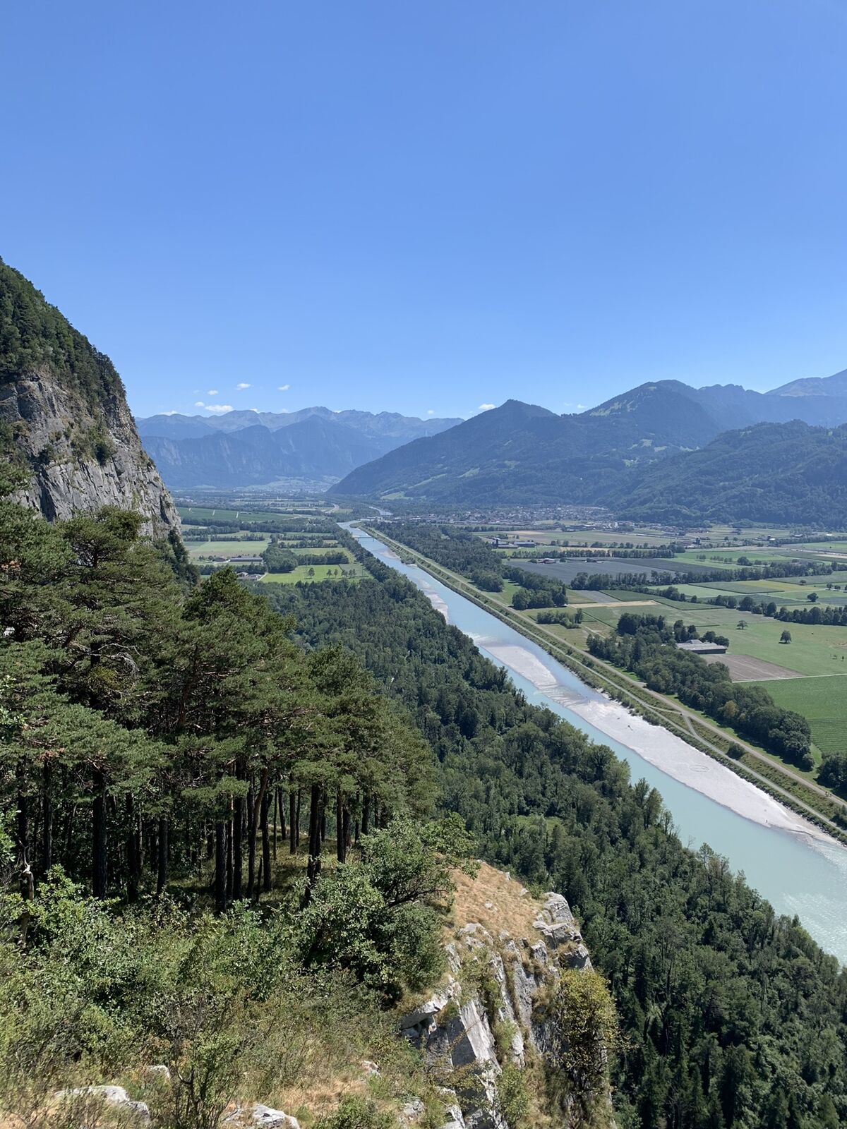
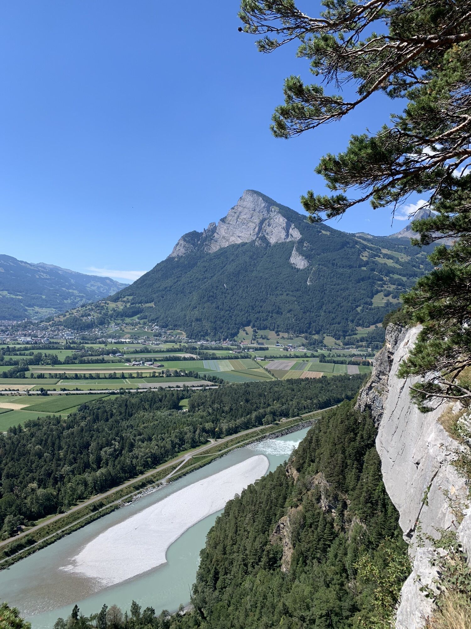
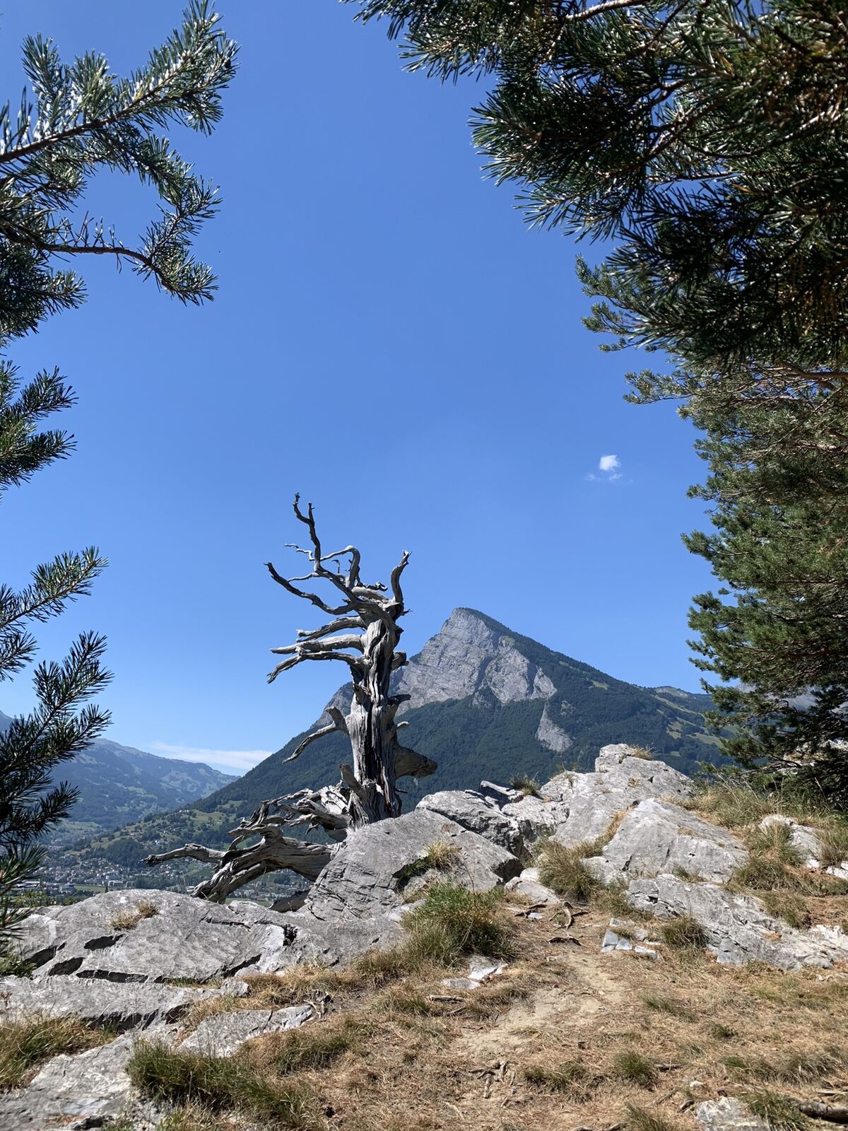
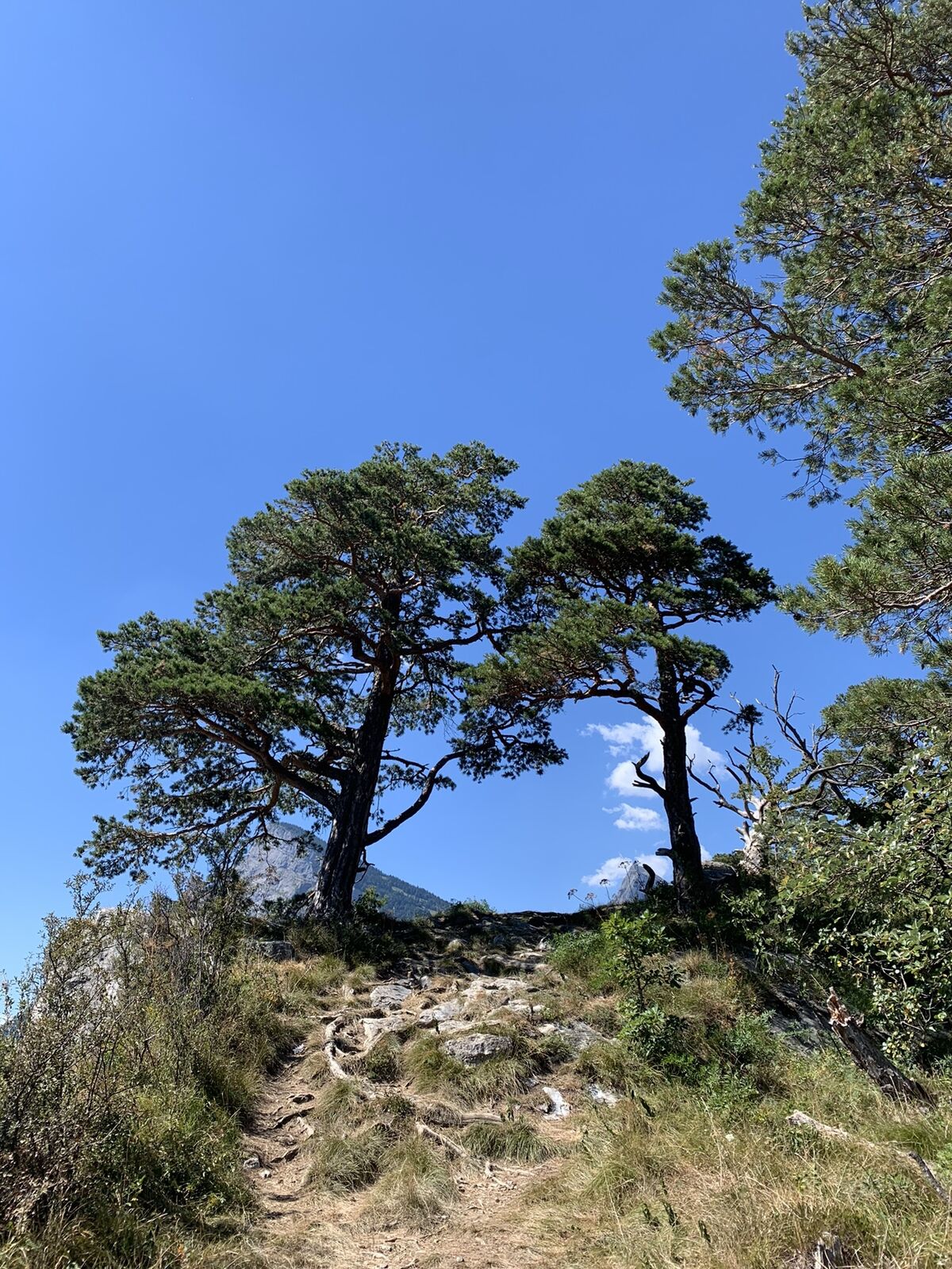
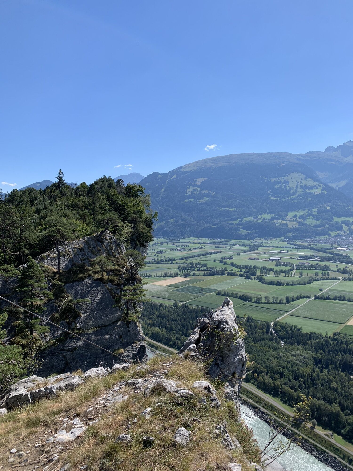
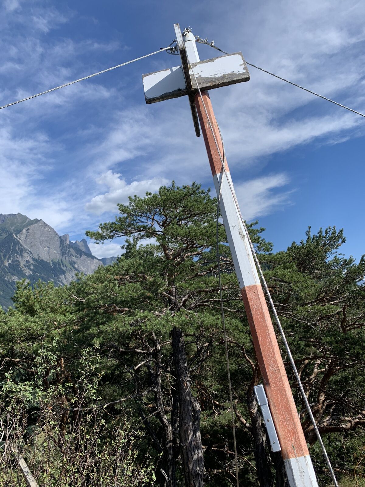
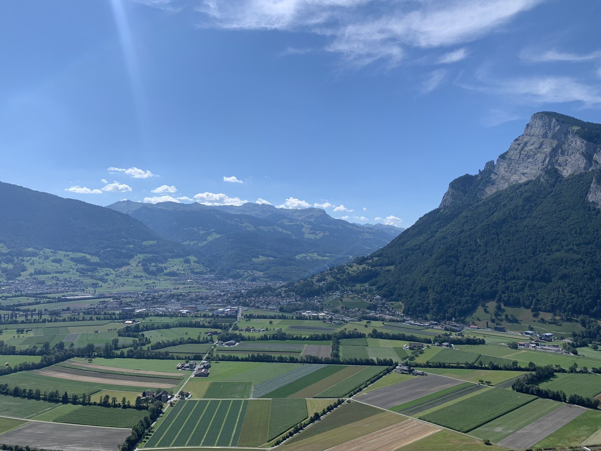
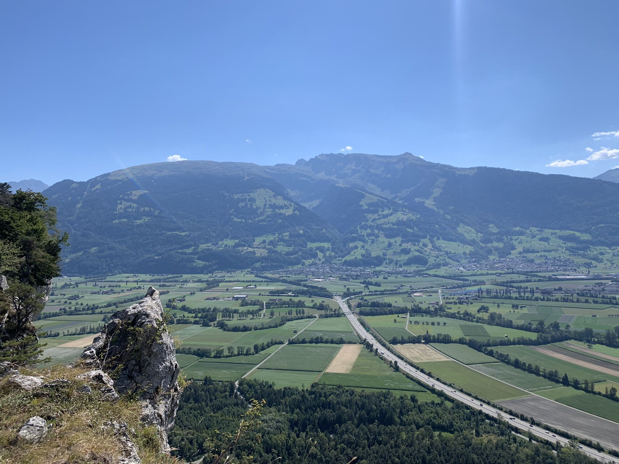
Tolle Sicht aufs Rheintal
- Difficulty
-
easy
- Rating
-
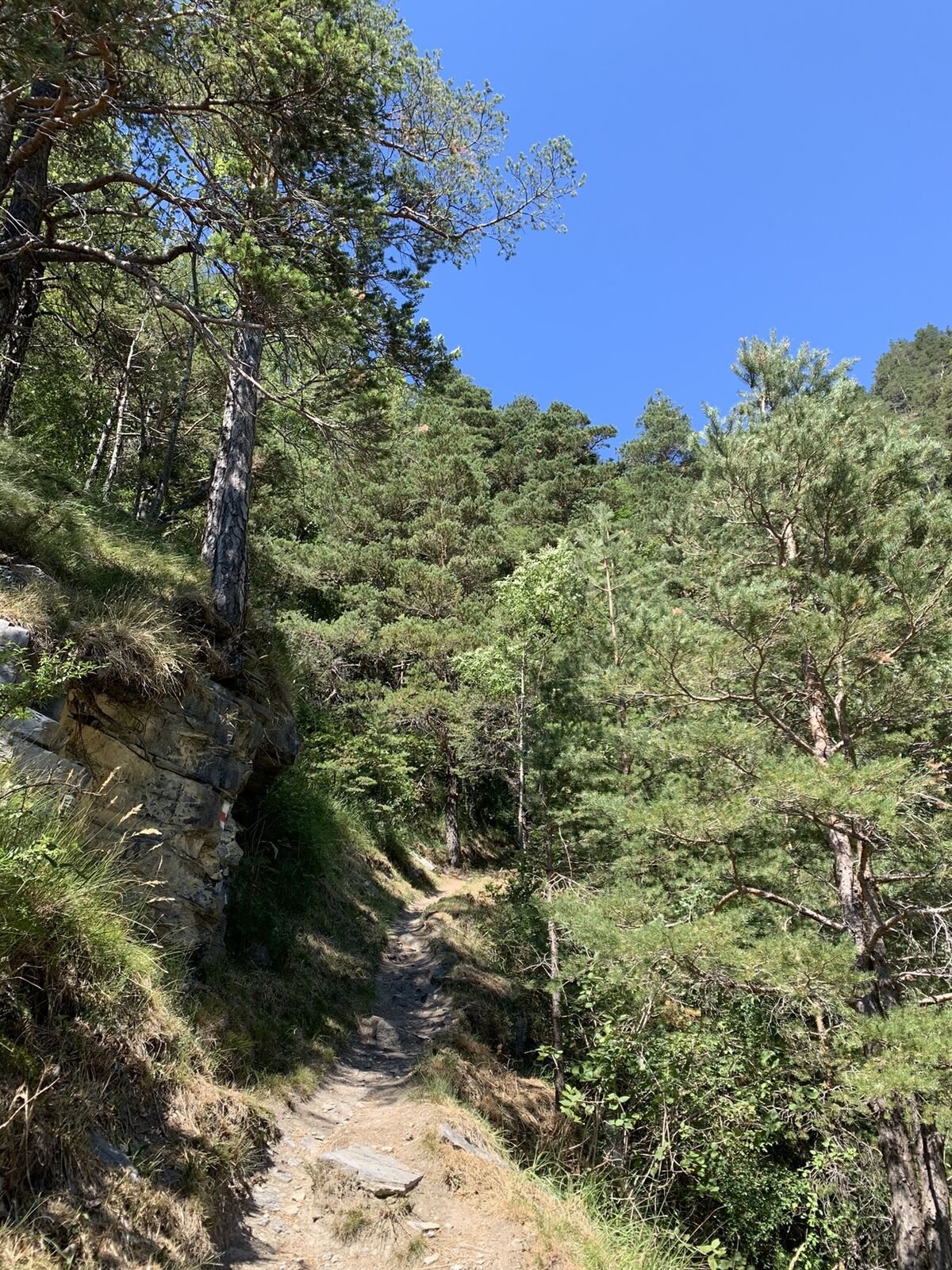
- Route
-
Heidenkopf (719 m)2.9 kmDiebalöcher3.0 kmOber Diebsloch (703 m)3.3 kmUnter Diebsloch (705 m)3.5 kmEllhorn (758 m)4.1 km
- Highest point
- 742 m


GPS Downloads


Other tours in the regions
-
Heidiland
2201
-
Bad Ragaz, Pizol und Umgebung
1006
-
Wartau
279