


- Brief description
-
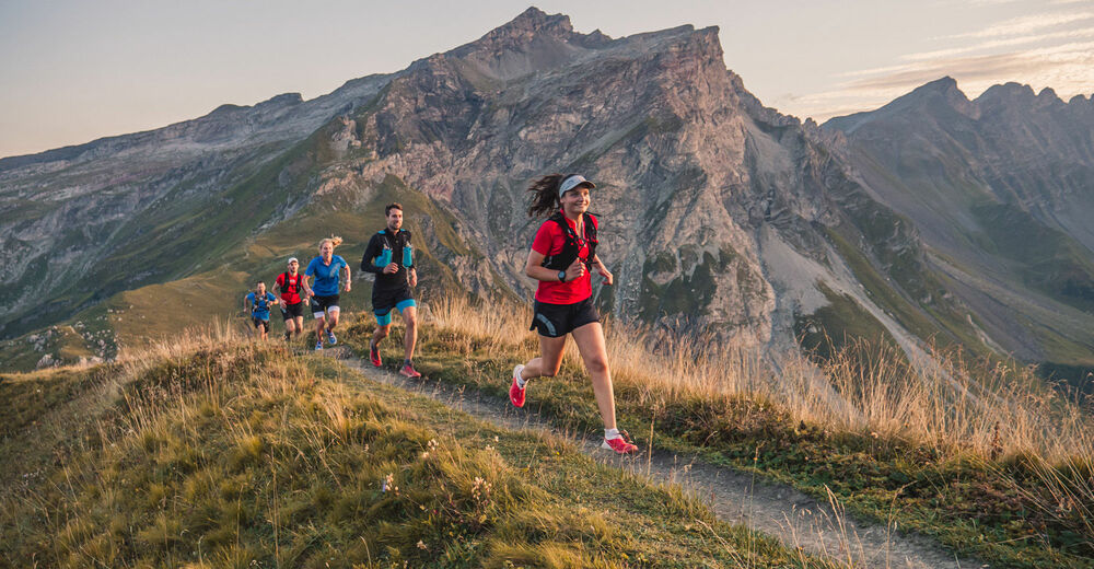
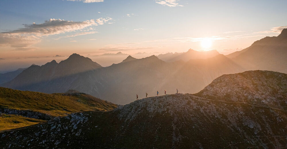
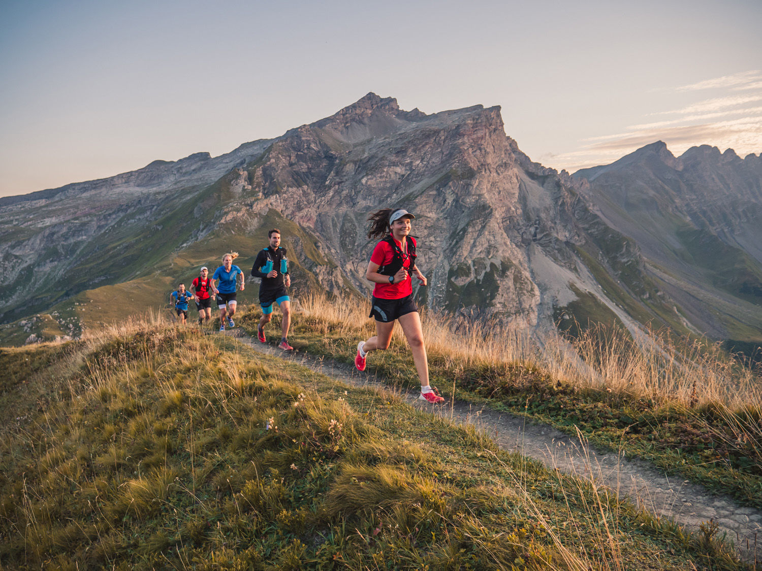
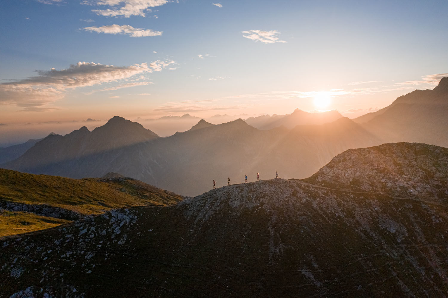
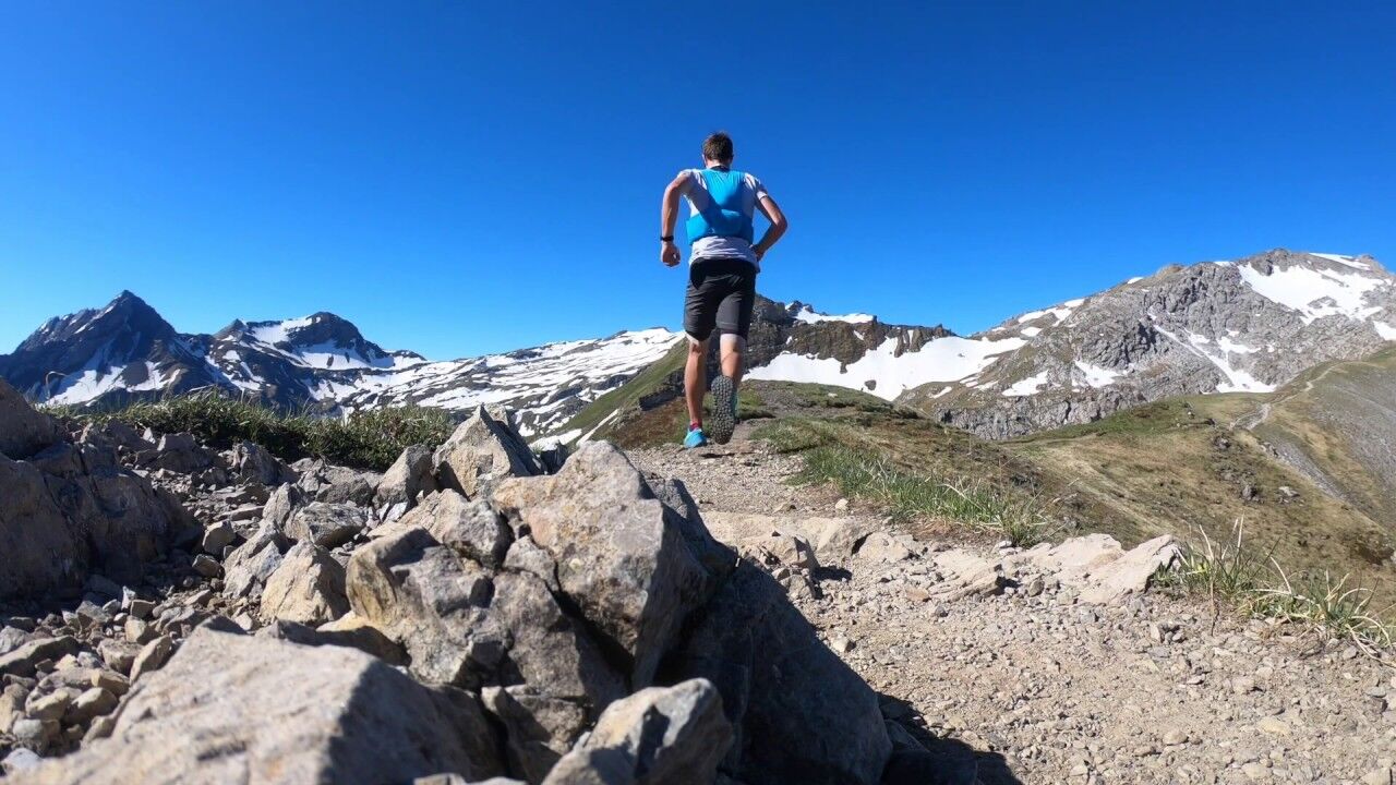
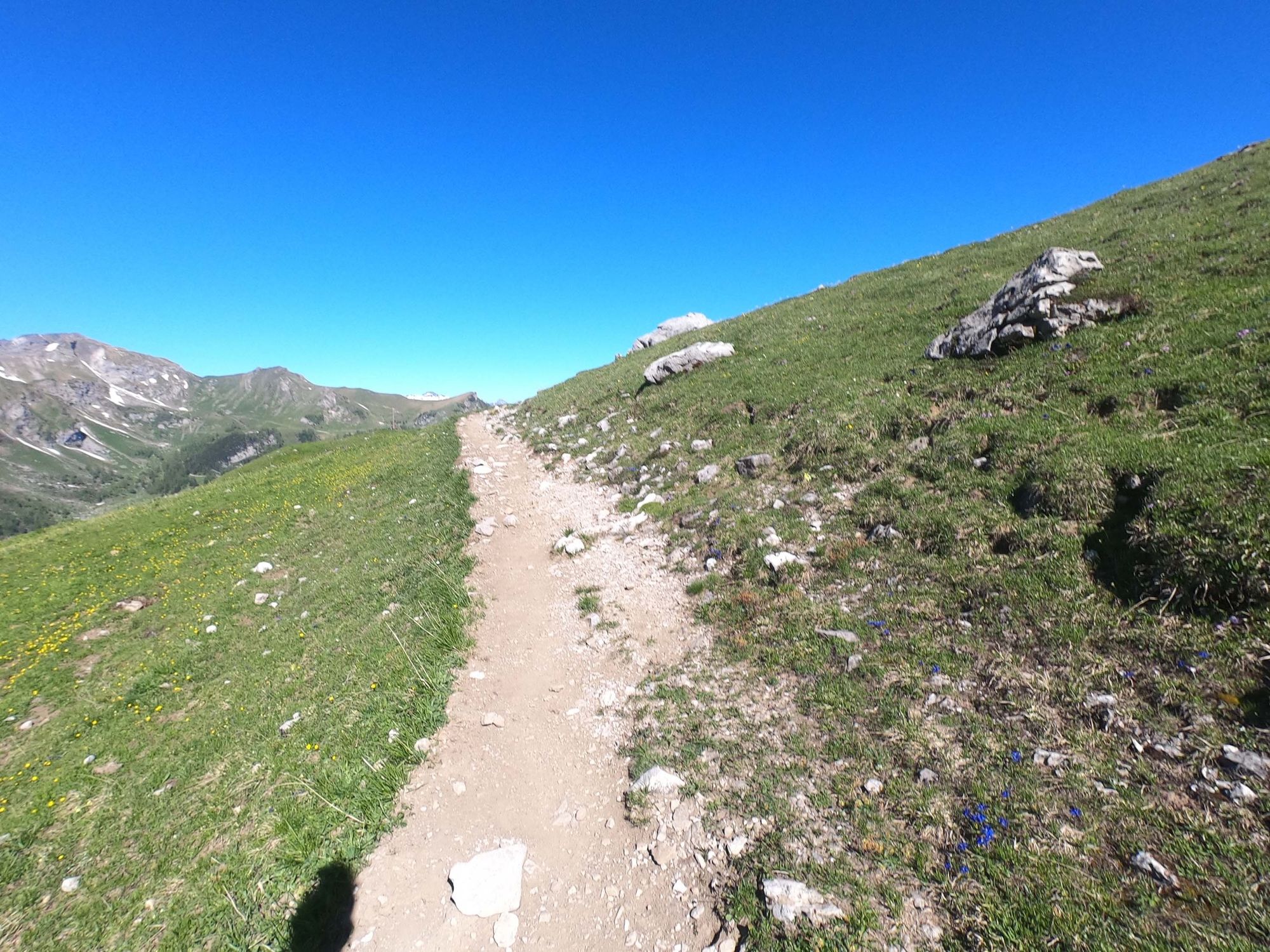
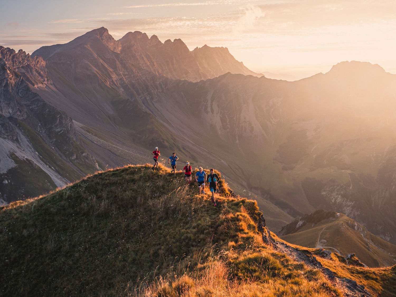
Involving an elevation of 1,000 metres over 14 km, this is a challenging trail run for keen mountain hikers. The Sareis ridge along the border with Austria rewards the hiker with breath-taking views.
- Difficulty
-
medium
- Rating
-
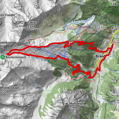
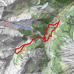
- Route
-
Malbun0.0 kmFriedenskapelle0.2 kmSareis (1,993 m)2.2 kmBergrestaurant Sareis2.3 kmSpitz (2,187 m)4.2 kmAugstenberg (2,359 m)5.6 kmPfälzerhütte7.0 kmMalbun13.6 km
- Best season
-
JanFebMarAprMayJunJulAugSepOctNovDec
- Description
-
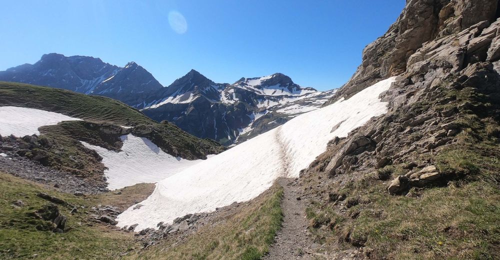
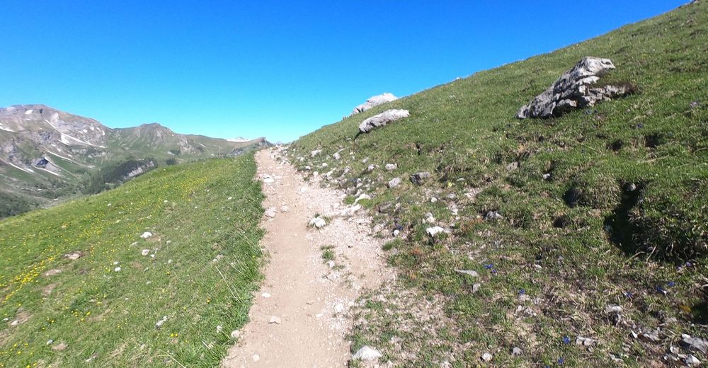
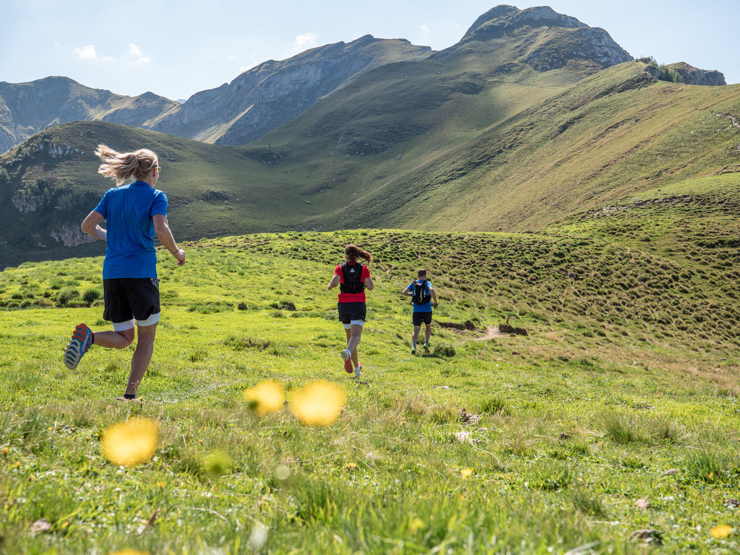
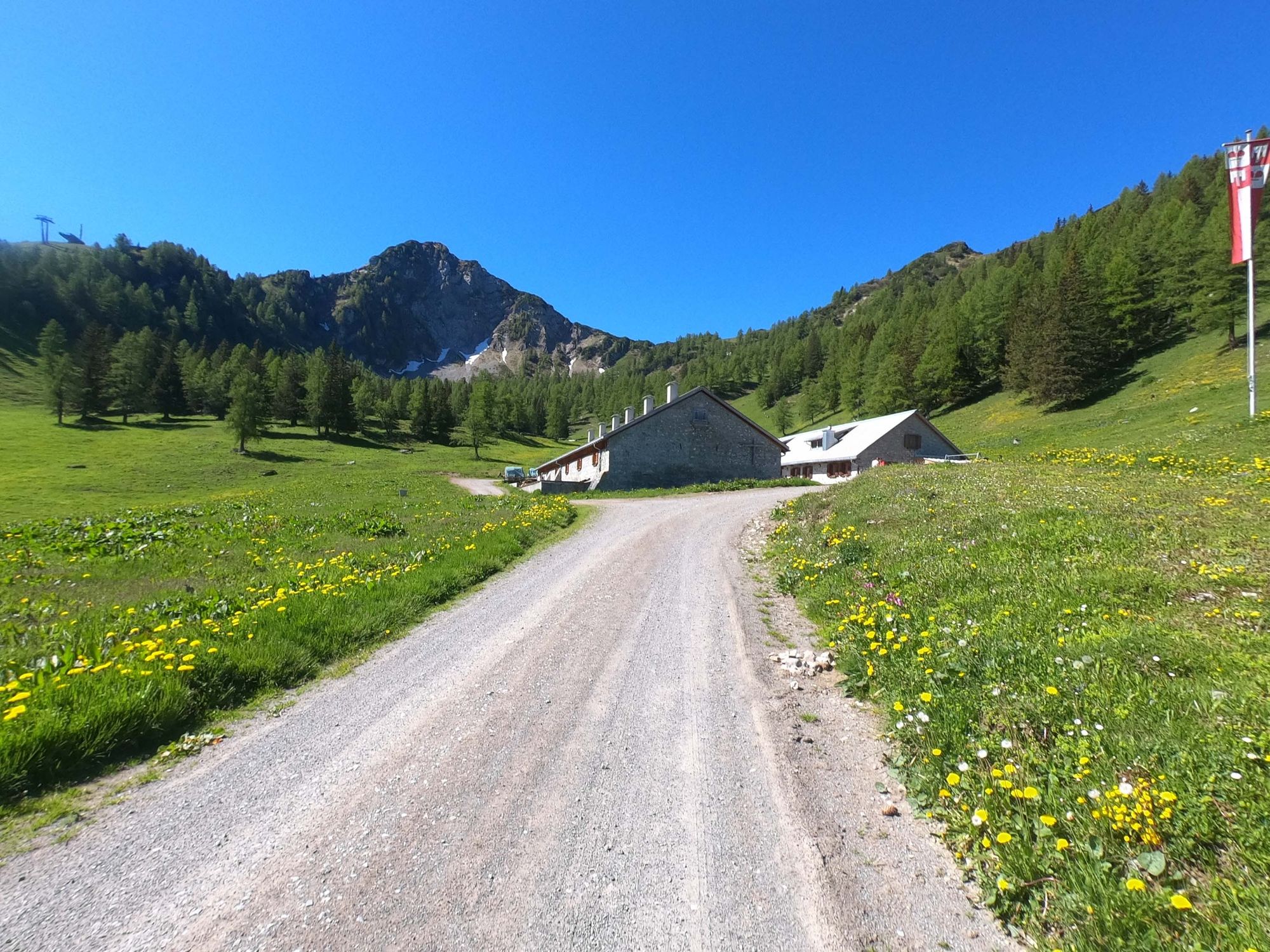
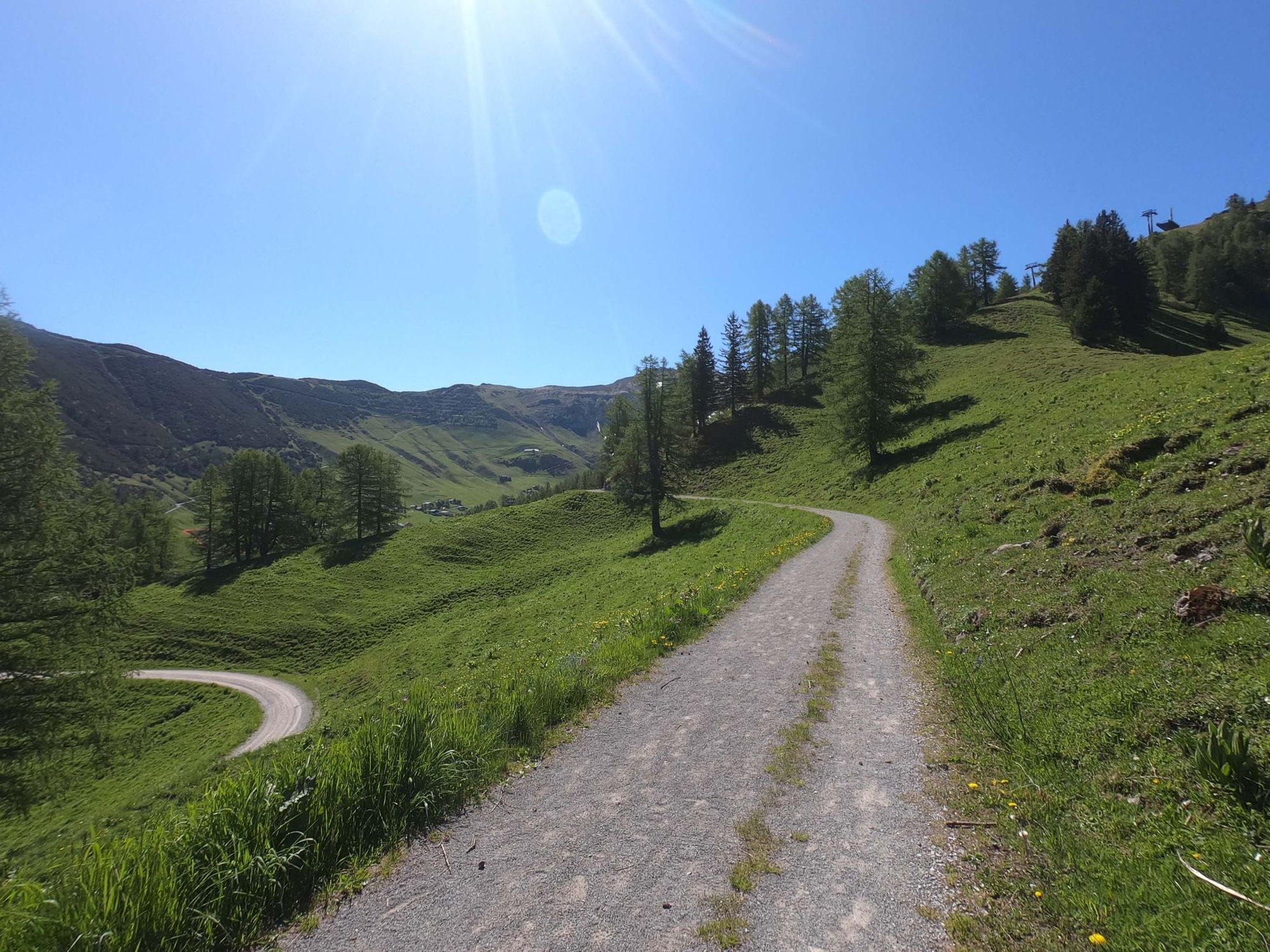
The starting point is located directly alongside the Jöraboda bus stop in front of the Malbun Center. Following a brief and steep ascent, the trail passes to the right and continues to rise all the way to Sareis mountain station. Now follow the sign in the direction of the Pfälzer hut on the path along the ridge. After Augstenberg you descend directly to the Pfälzer hut, where the path turns sharp left towards Täli / Malbun. Leaving Vaduzer Täli, you stay on the Liechtenstein Höhenweg and make a detour to Alpe Pradamee. From there the trail returns directly to the starting point in Malbun.
- Highest point
- 2,352 m
- Endpoint
-
Malbun Center, Malbun
- Height profile
-
 © outdooractive.com
 - Equipment
-
Trail running shoes, clothing appropriate for the weather, at least 0.5 litre of water and snacks (energy bars, gel).
- Safety instructions
-
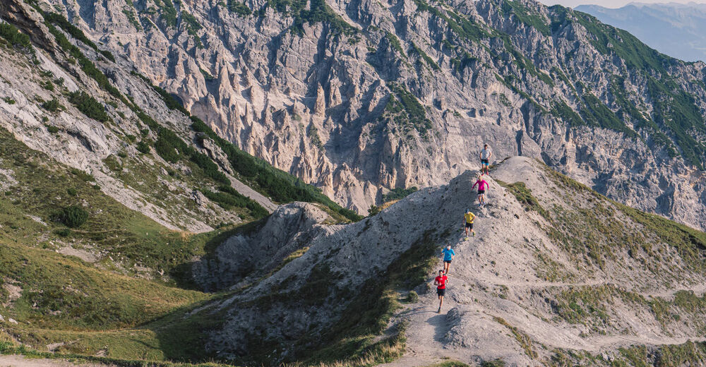
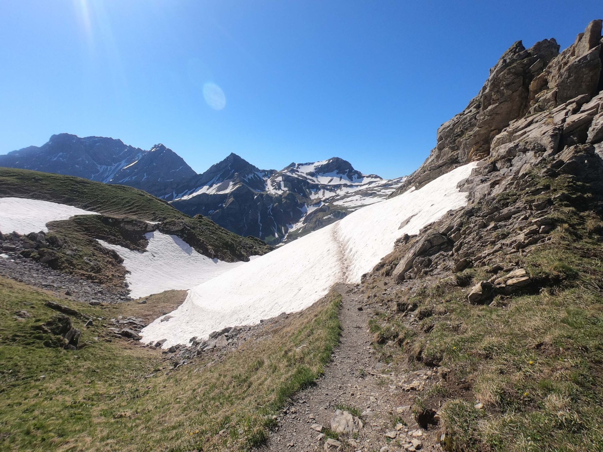
The hiking trail is well signposted and secured at difficult points with steps and cables. You will need to be surefooted, as the trail includes a number of exposed and steep sections (maximum T3).
Going on a tour requires careful planning. We recommend that you discuss the routes and weather conditions with the local information points in advance. Depending on the season and weather conditions, this route may be closed or interrupted.
- Tips
-
Warm up well before the trail, or begin slowly, as the route rises right from the start. Treat yourself to a break at the Pfälzer hut with breath-taking views of the Samina Valley, Switzerland and Austria. More about the author Michael Lenz: swisstrailguide.com
- Additional information
-
Toilet facilities and the opportunity to refill water flasks can be found at the Malbun Center behind the Jöraboda bus stop and in the Pfälzer hut.
Combine this trail run with a family excursion. Right behind the Malbun Center there is a pleasant playground and a barbecue area. The restaurants in Malbun will also be happy to pamper you with their culinary delights.


- Author
-
The tour Border encounter with peak experience is used by outdooractive.com provided.


General info
-
Heidiland
104
-
Liechtenstein
46
-
Malbun
21