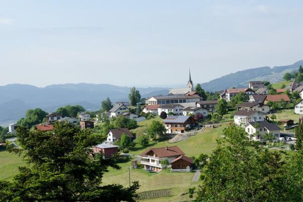
© Liechtenstein Marketing - Tom Jutzler


© Liechtenstein Marketing
- Brief description
-
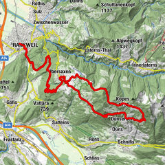
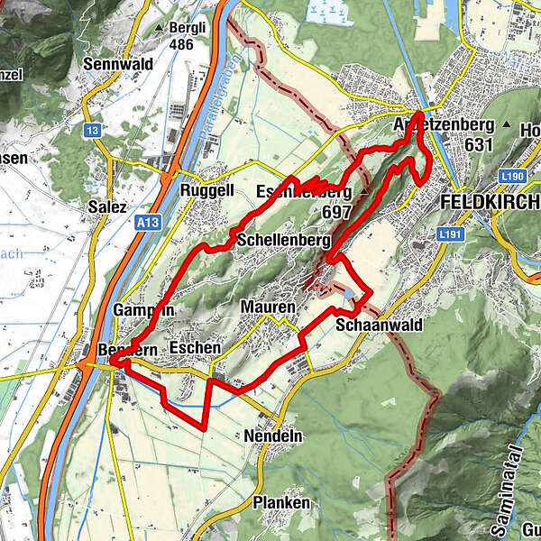
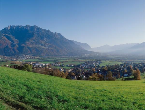
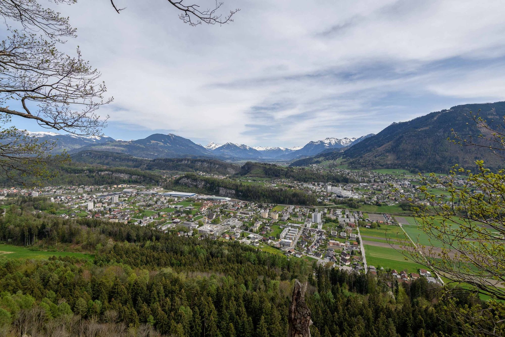
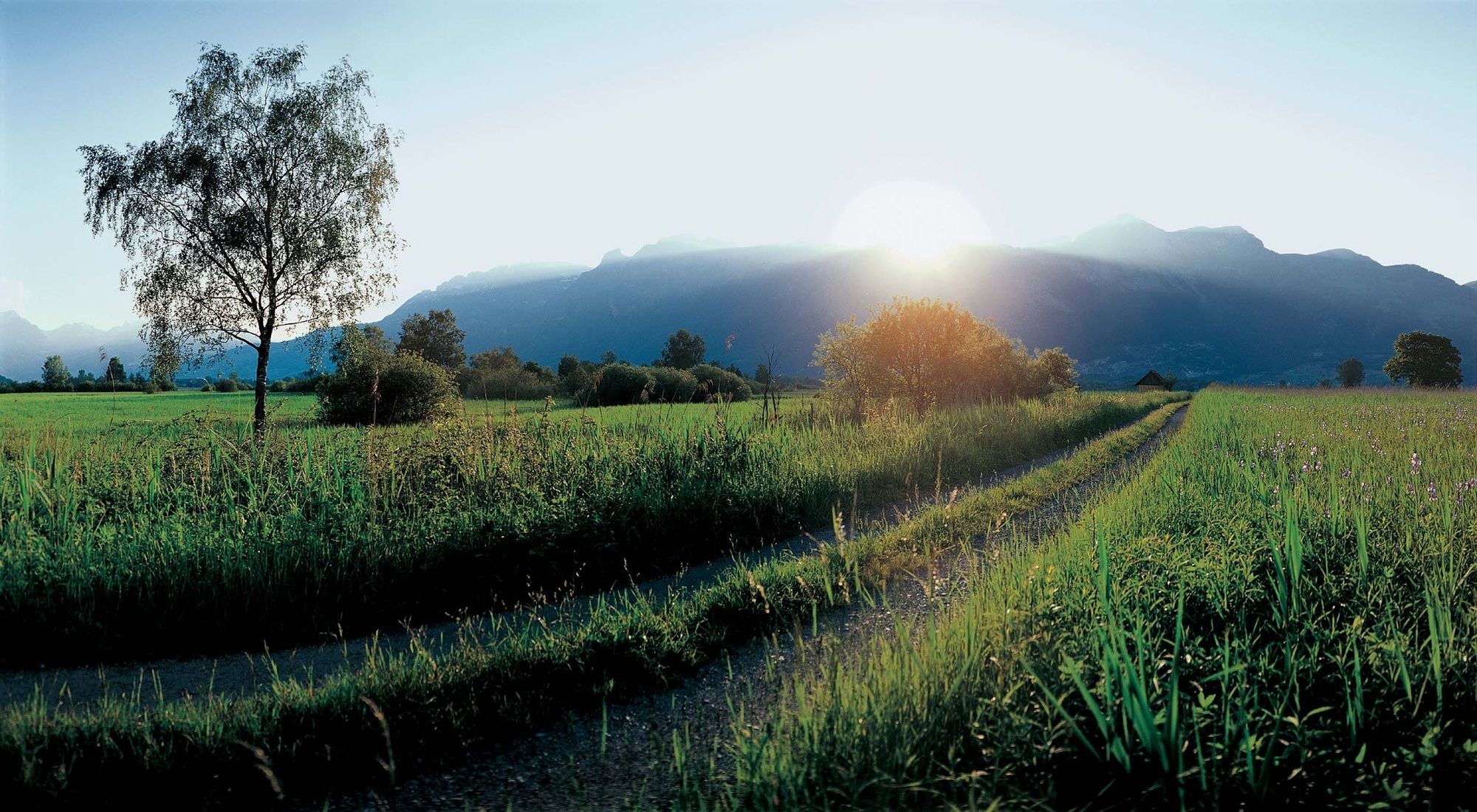
Eschnerberg (Eschen mountain) can be found on the planes of the river Rhine on the north side of Liechtenstein and is surrounded by the five municipalities of the lowland.
- Difficulty
-
medium
- Rating
-
- Route
-
Lourdes Grotte0.2 kmBendern0.5 kmGamprin (472 m)1.4 kmHinterschellenberg8.2 kmWirtschaft zum Löwen8.5 kmFresch9.5 kmNofels10.7 kmSt. Wolfgang11.5 kmGasthaus Löwen12.0 kmFeldkirch12.1 kmGasthaus zur Eibe13.5 kmBendern24.3 km
- Best season
-
JanFebMarAprMayJunJulAugSepOctNovDec
- Description
-
The charmingly scenic tour of the Eschnerberg takes you around this mountain, through forests, marshland and hilly areas. Sometimes it leads along its sides and sometimes it seems almost distant.
It is possible to start the bike route at various points however the route passes over the Austrian border twice. Along with beautiful views of the surrounding mountains there are also numerous other sights such as the church on the hill in Bendern, the pilgrims church St Cornelli and the Vogelparadies (bird aviaries) Birka in Mauren.
- Highest point
- 609 m
- Endpoint
-
Bendern
- Height profile
-
 © outdooractive.com
 - Safety instructions
-
Please drive with caution along the main road.
- Tips
-
Due to boarder crossing, please bring your identity card.


-

-
AuthorThe tour Eschnerberg Tour is used by outdooractive.com provided.
GPS Downloads


General info
Refreshment stop
Cultural/Historical
A lot of view
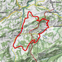
Other tours in the regions
-
Appenzellerland
151
-
Liechtenstein
129
-
Schellenberg
27