© Piller Hoffer Manuel - © Piller Hoffer Manuel

© Outdooractive – 3D Videos

© Piller Hoffer Manuel - © Piller Hoffer Manuel

© Piller Hoffer Manuel - © Piller Hoffer Manuel

© Friuli Venezia Giulia - Giovanni Borella

- Brief description
-
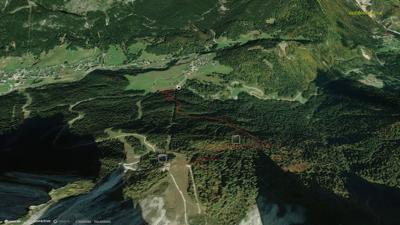
The shelter lies in a very panoramic position on the northern edge of the Pian dei Larici, alongside the upper chairlift station.Behind lie the imposing rock profiles of the Siera Spitz, the Piccolo Siera and the Cima Dieci.
- Difficulty
-
easy
- Rating
-
- Route
-
Rifugio Monte Siera2.1 kmMonte Siera2.1 km
- Best season
-
JanFebMarAprMayJunJulAugSepOctNovDec
- Description
-
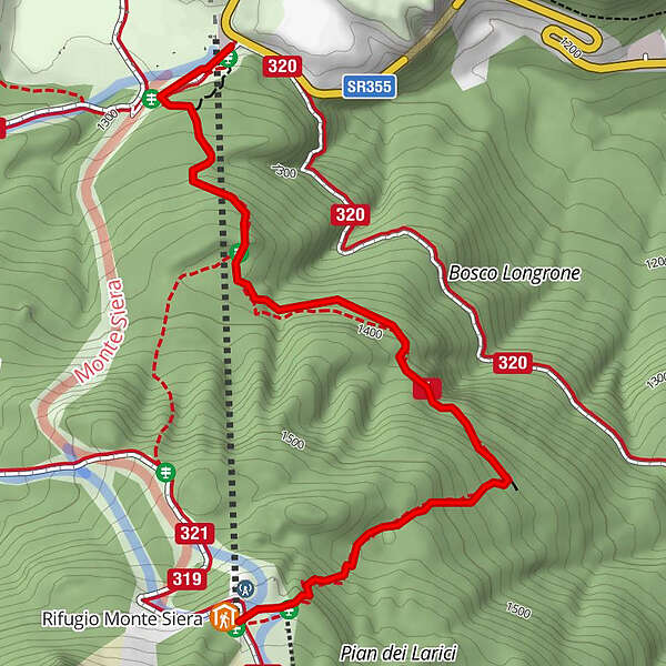
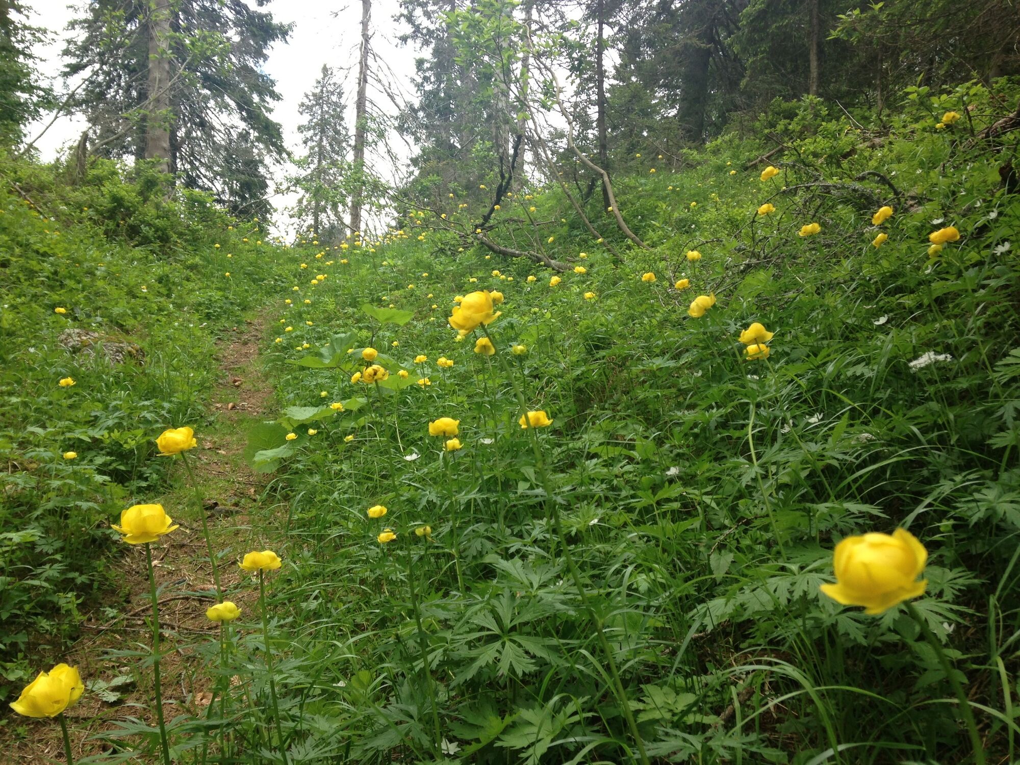
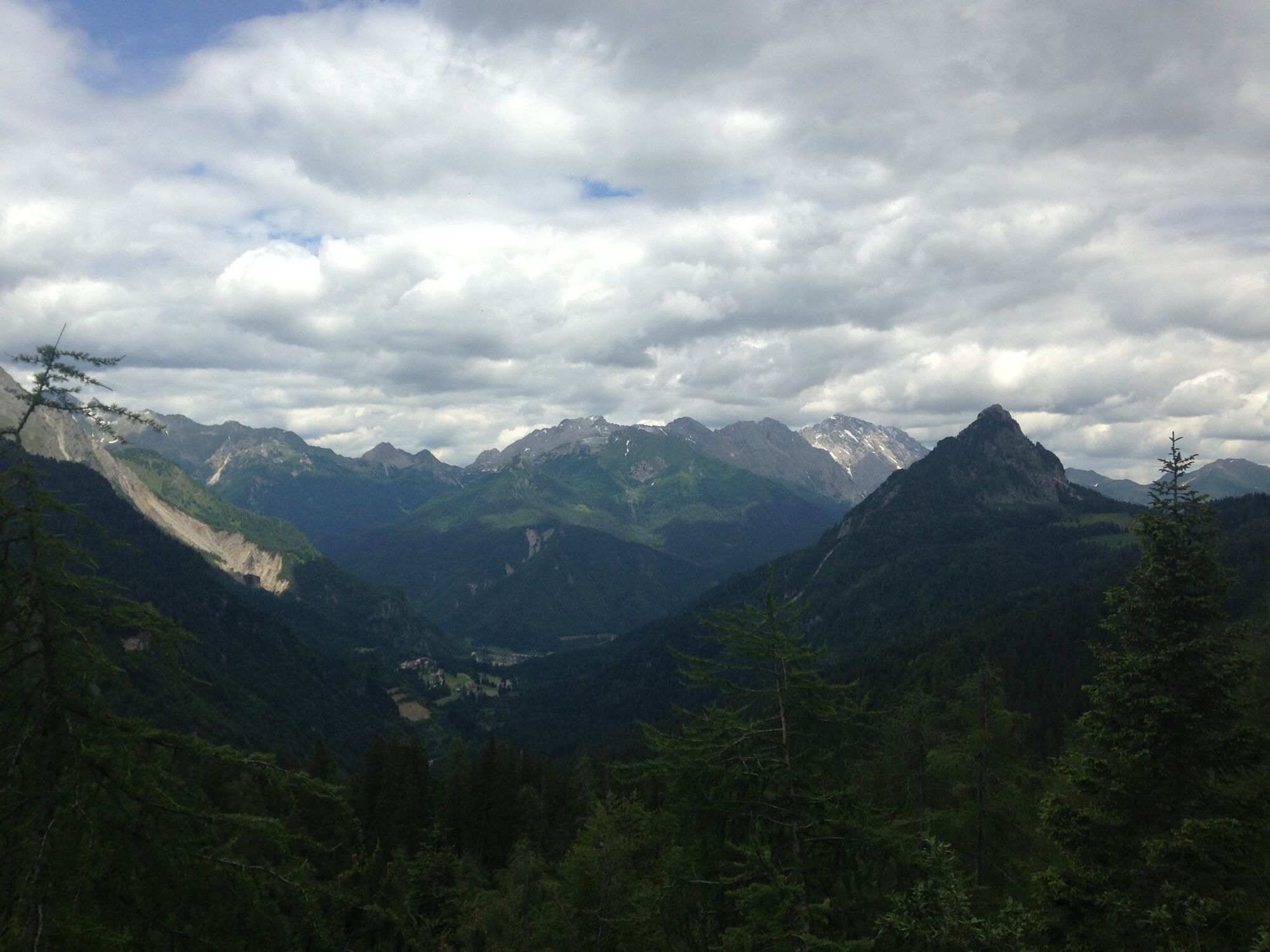
Longrone is a vast area of conifers located between Cima Sappada and Pian dei Larici.This walk, unjustifiably little-used although it is the most interesting of the three options for reaching the Siera shelter, is varied, sunny in the second part, a little strenuous but only in stretches, gratifying because the gaze can range over the Cima Sappada, the Val Sesis, the Peralba-Chiadenis group at Cimon and the mountains of Volaia and Cogliàns.During the route, the singing of timid birds will accompany the walk.
- Directions
-
Follow the previous route to level ground about fifty metres from the second pass under the chairlift where a sign “rifugio Siera” can be seen, along with the yellow marks of the nature trial pointing south.This climbs diagonally up the eastern side of the Longrone forest, alternating between flat stretches and short rises. At the top of the climb, near a small glade, leave the track when it starts to descend, crossing the 320 (to the Tuglia mountain hut) further downstream, and turn instead to the right (west) guided by a sign and marks on the rock (red arrow and notice with the words “rifugio monte Siera”). The path climbs a steep slopes, touches the summit then crosses a long plateau just beneath the last wooded embankment that it traverses with large bends, at the end of which lies the level ground where the shelter is located.
The descent can follow the same route or routes 4 or 5, which take the same amount of time.
- Highest point
- 1,616 m
- Endpoint
-
Rifugio Siera
- Height profile
-
 © outdooractive.com
 - Safety instructions
-
Difficulty: T


-

-
AuthorThe tour 06 TO THE SIERA SHELTER by the Longrone nature trail - Sappada is used by outdooractive.com provided.
GPS Downloads


Other tours in the regions