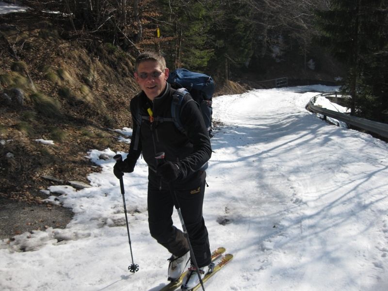
© www.sportistmord.at

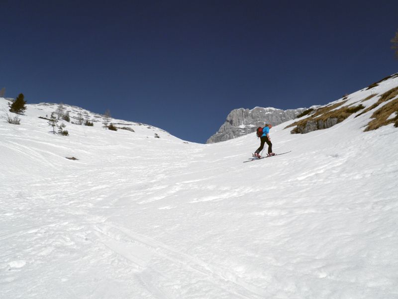
© www.sportistmord.at

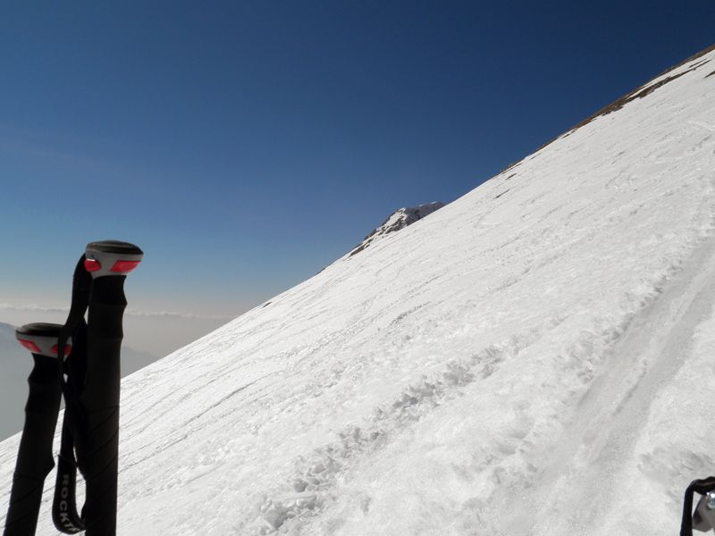
© www.sportistmord.at

© www.sportistmord.at

© www.sportistmord.at
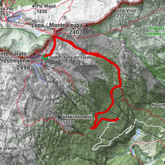
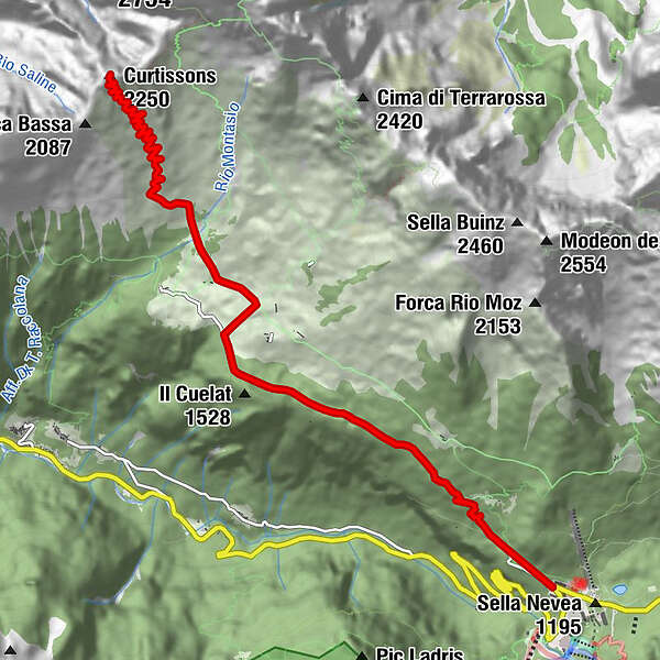
Tour data
8.5km
1,185
- 2,241m
1,050hm
05:00h
- Brief description
-
Lange schwere Schitour
- Rating
-
- Route
-
Curtissons (2,250 m)8.3 km
- Highest point
- 2,241 m


GPS Downloads
Other tours in the regions