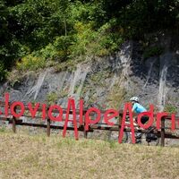
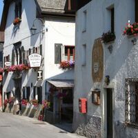
Ciclovia Alpe-Adria 6. cycle selction: Tarvisio-Venzone


- Brief description
-
vfgdrhtoiejrgkyvk
- Difficulty
medium- Rating
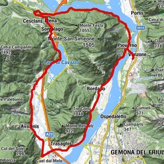
- Route
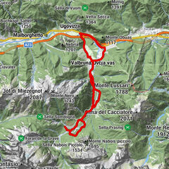
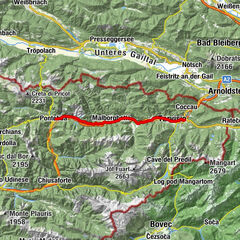
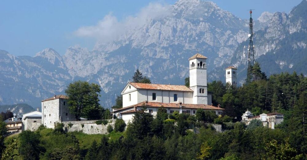
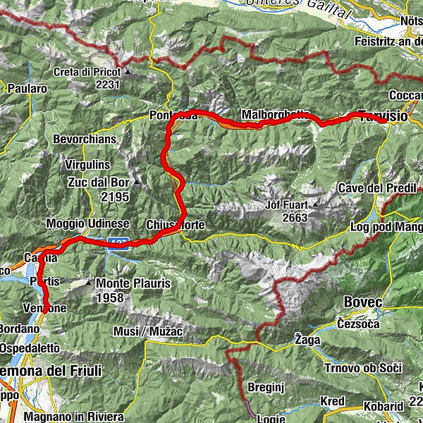
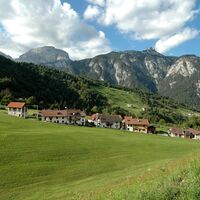
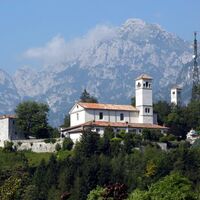
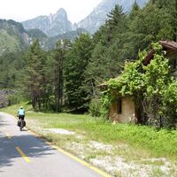
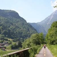
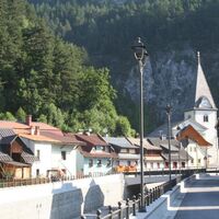
Tarvis0.2 kmSaifnitz3.6 kmPapillo5.6 kmAlla Vecchia Stazione9.3 kmUggowitz9.3 kmMalborgeth12.7 kmOmbrico14.9 kmLeopoldskirchen19.7 kmVillaggio Gastronomico24.3 kmPontafel24.3 kmSan Rocco26.1 kmPietratagliata27.6 kmCasermette Polveriera Pietratagliata27.9 kmCasello28.2 kmSaletto30.0 kmVillaggio Krivaja31.1 kmChiout Martin31.5 kmBalador32.2 kmDogna32.4 kmPorto32.9 kmRaccolana37.0 kmStazione di Chiusaforte37.1 kmTrattoria F.lli Martina37.2 kmChiusaforte37.2 kmCasasola38.0 kmVillanova38.7 kmCascata Rio Belepeit38.7 kmRoveredo42.4 kmResiutta44.5 kmCarnia53.6 kmPortis56.1 kmBorgo Ruscitz56.1 kmChiesa di San Rocco56.8 kmBorgo Sottomonte58.5 kmPeuscheldorf59.1 km

- Best season
JanFebMarAprMayJunJulAugSepOctNovDec- Directions
TARVISDOGNA
CHIUSAFORTE
RESIUTTA
PONTE DI MOGGIO UDINESE
MOGGIO UDINESE
CAMPIOLO
PONTE EX FERROVIA
CARNIA
PORTIS
VENZONE
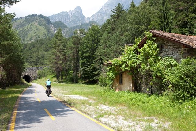
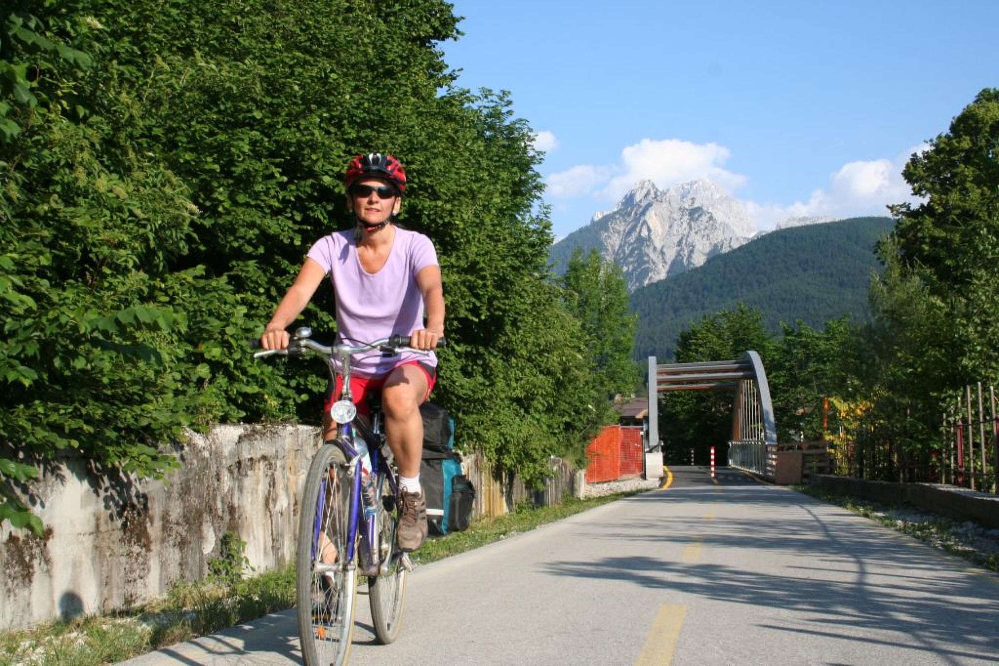
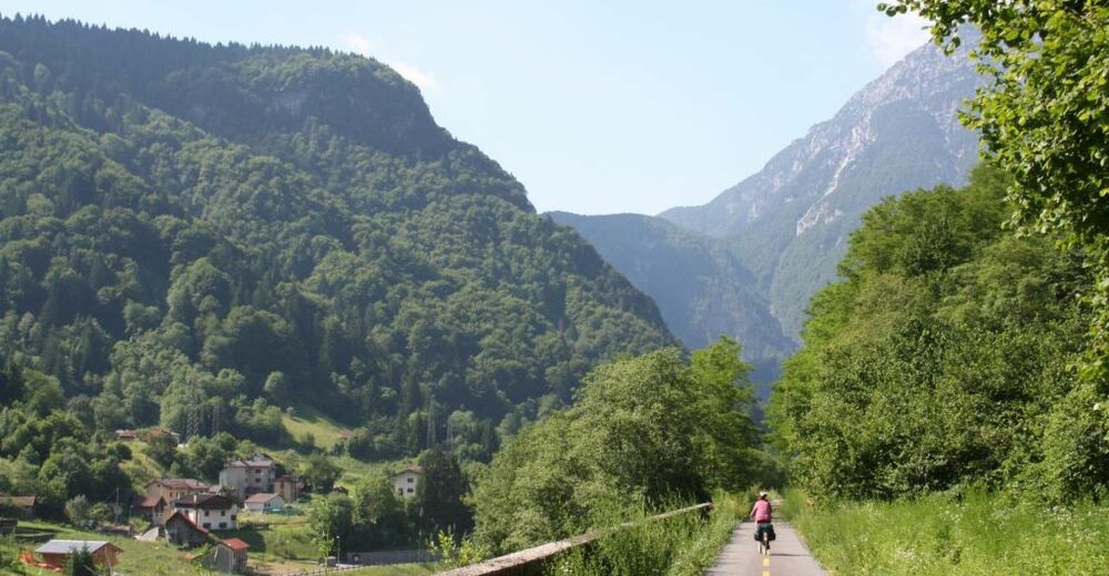
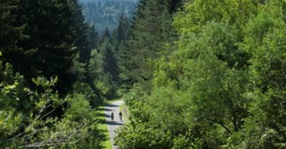
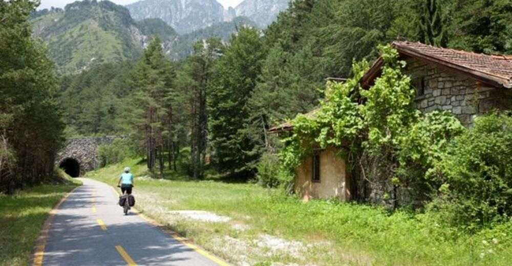
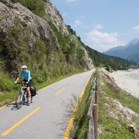
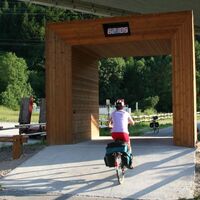
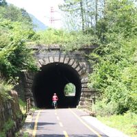
Dogna: C ycling route which is equipped with signs and runs mostly on the bike path that was built on former disused railway Pontebbana. Currently the cycle route is passable continuously to Dogna
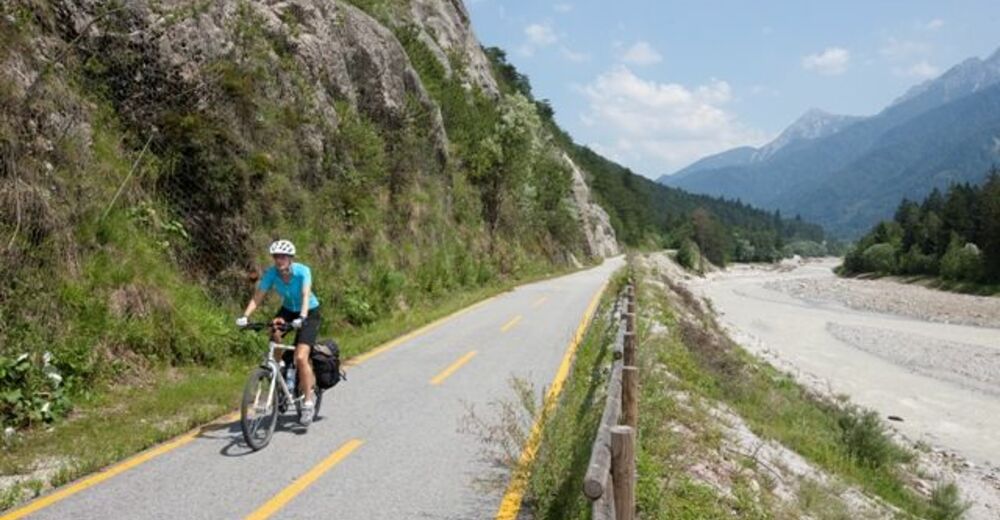
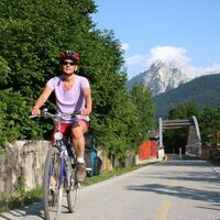
Reached Dogna, the experienced cyclist who wants to move towards the South, will runs on National Road n. 13 and will follow it till Chiusaforte.
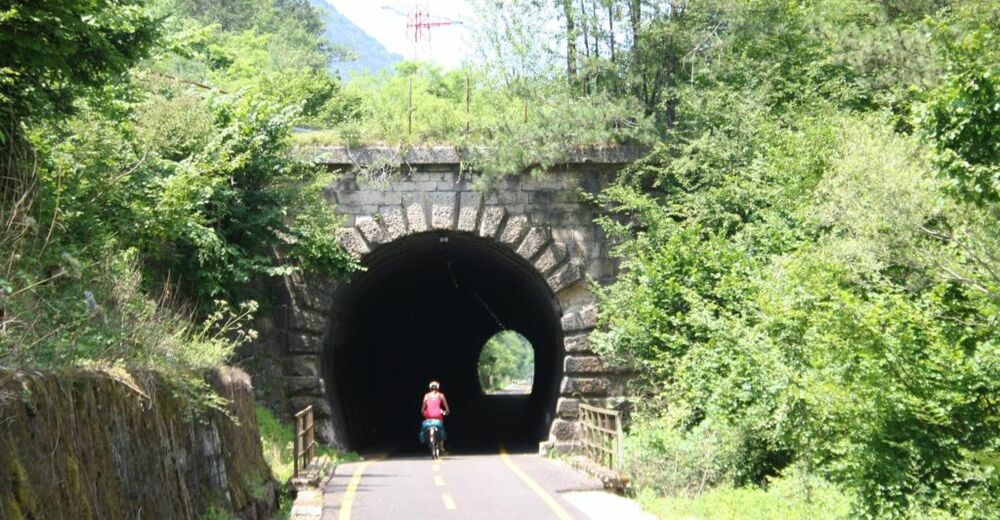
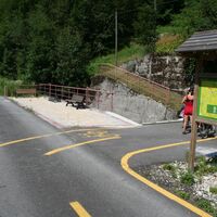
Once in Chiusaforte, the cyclist take the bike path that runs till Resiutta.
At Resiutta the experienced cyclist will again use the National Road No 13 and go up the bridge of Moggio Udinese . The town of Moggio is reached by crossing this bridge over the river Fella.
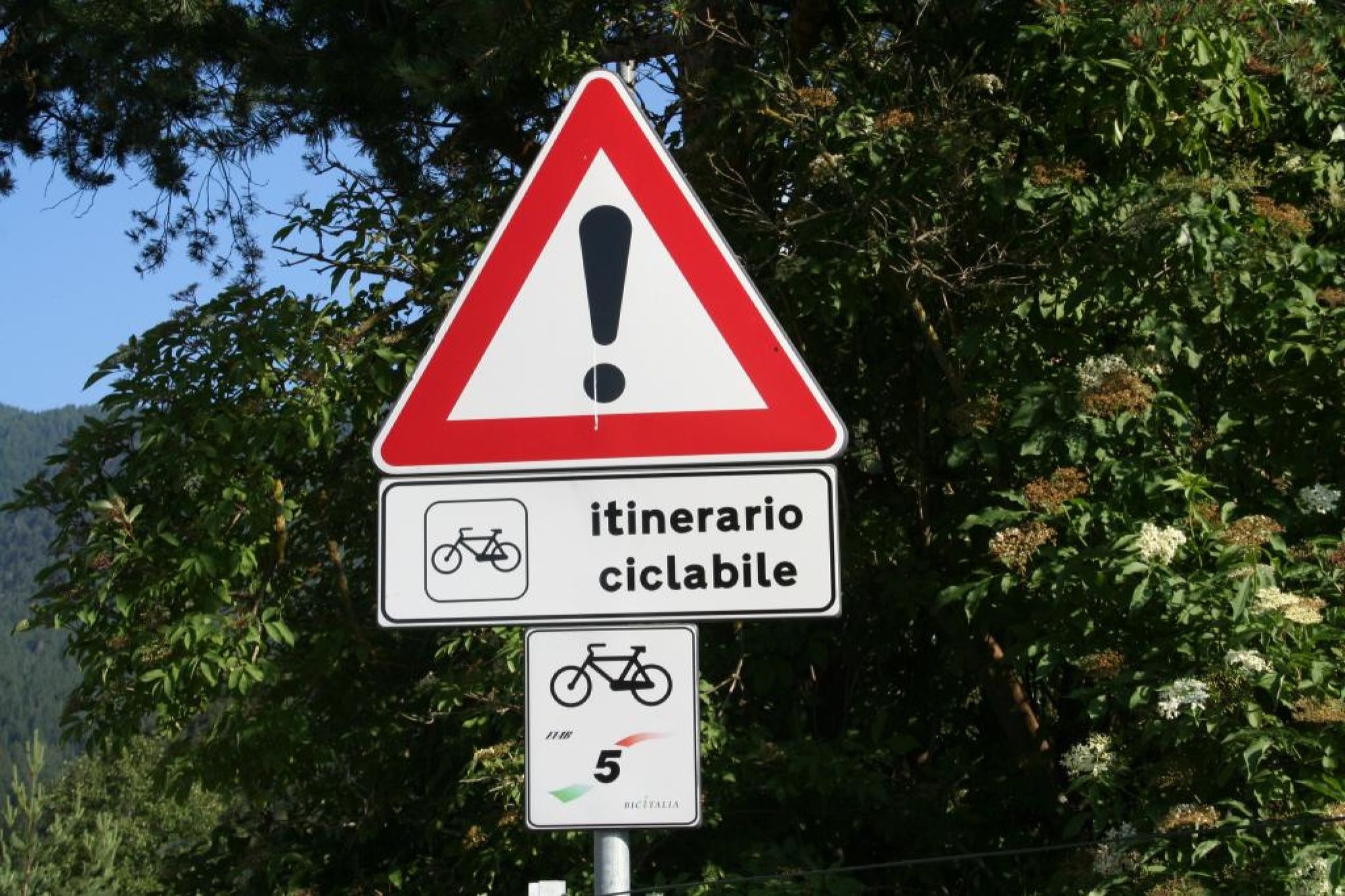
The experienced cyclist can use local roads and stretches of national and provincial roads to reach the mentioned places .
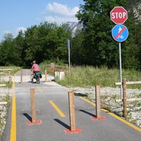
Give full attention to stretches in promiscuity with the cars and at the point of crossing the main roads .- Highest point
- 825 m
- Endpoint
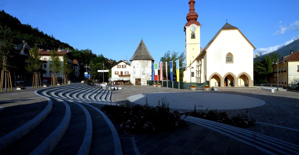
Venzone
- Height profile
 © outdooractive.com
- Author
-
The tour Ciclovia Alpe-Adria 6. cycle selction: Tarvisio-Venzone is used by outdooractive.com provided.