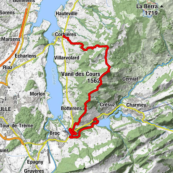
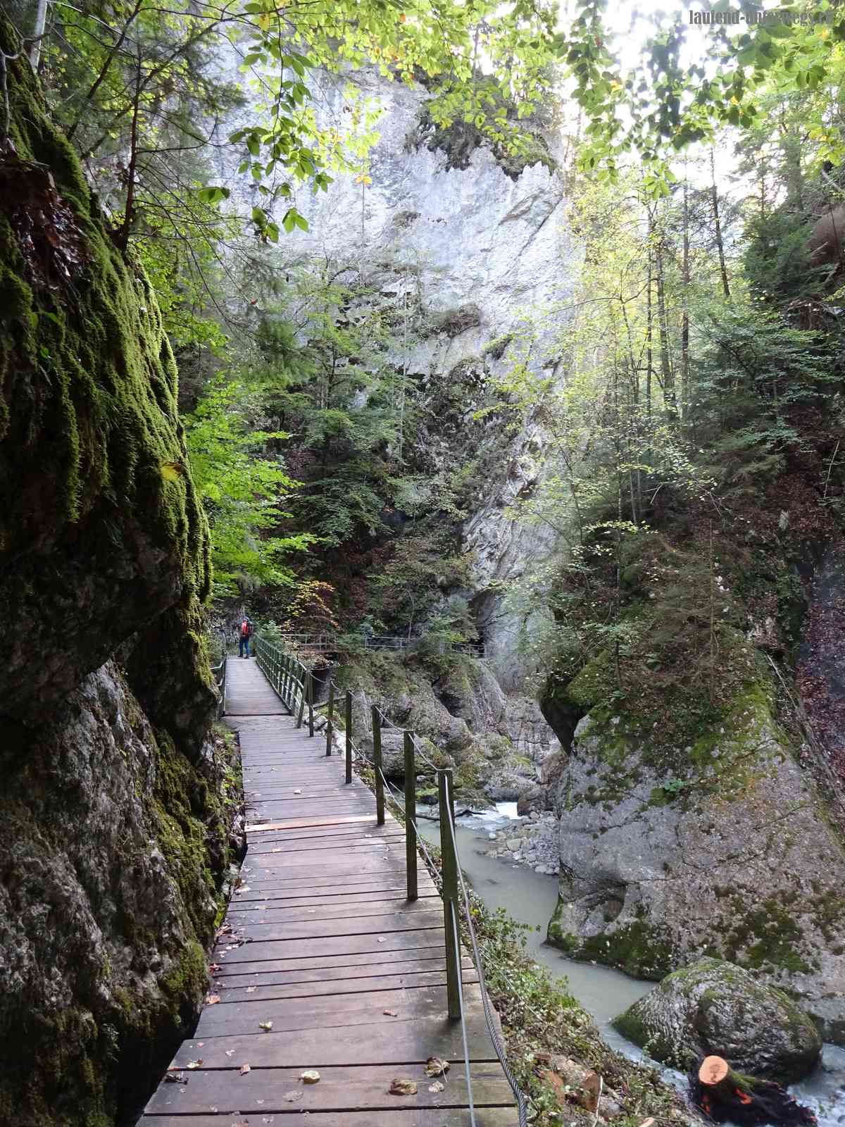
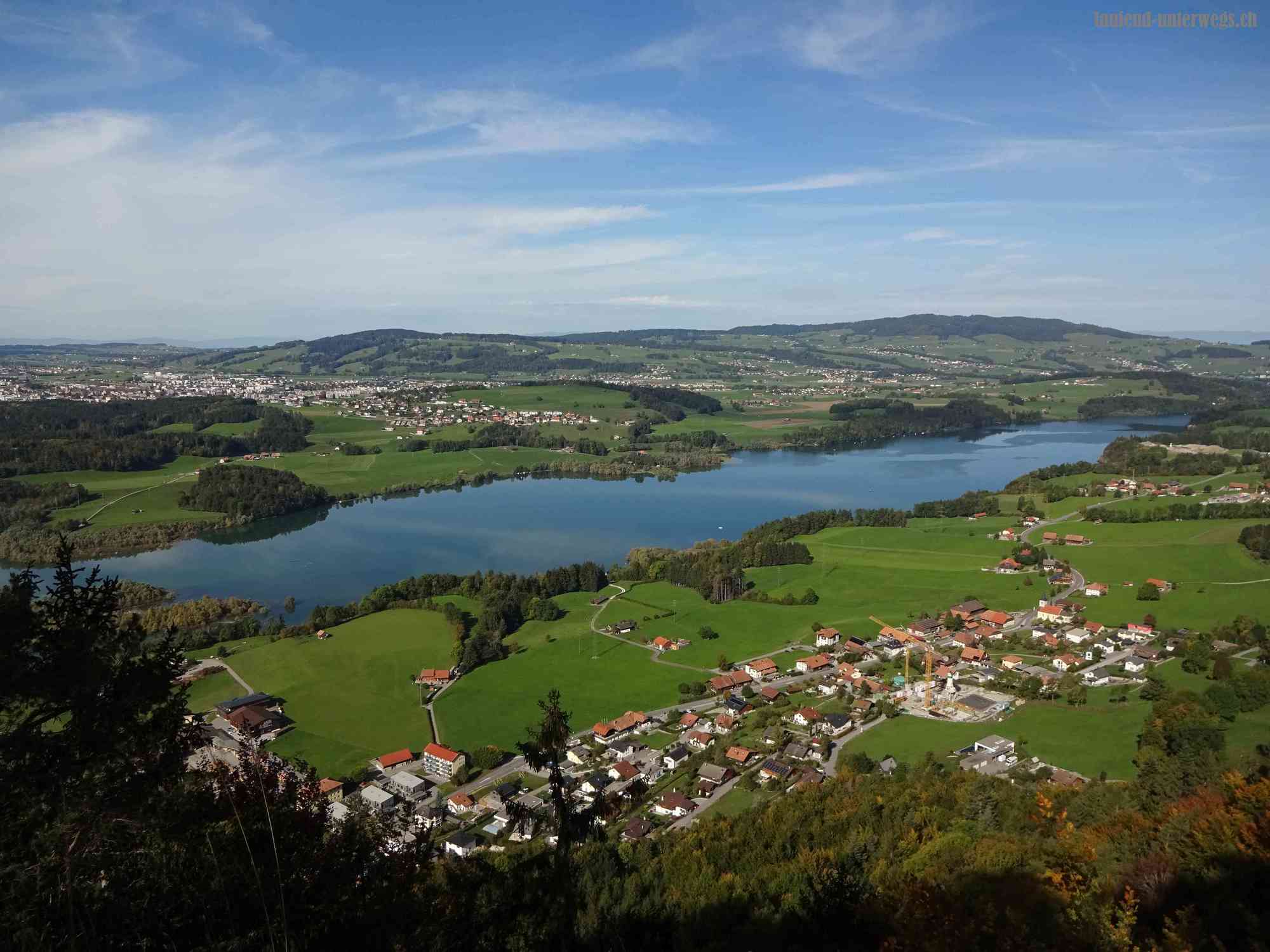
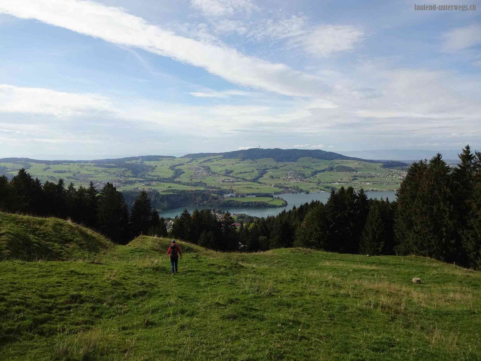
Von Châtel-sur-Montsalvens via Gorges de la Jogne - Mont Bifé - Vanil des Cours - nach Corbières

Hiking


Tour data
15.5km
718
- 1,562m
1,140hm
1,290hm
05:30h
- Brief description
-
Wanderung von Châtel-sur-Montsalvens via Gorges de la Jogne - Mont Bifé - Vanil des Cours - nach Corbières
- Difficulty
-
medium
- Rating
-
- Route
-
Restaurant de la TourKastels ob Montsalvens (908 m)Mont Bifé (1,482 m)8.4 kmVanil des Cours (1,562 m)9.3 kmCorbières15.1 km
- Best season
-
JanFebMarAprMayJunJulAugSepOctNovDec
- Highest point
- 1,562 m

- Source
- laufend unterwegs
GPS Downloads


Other tours in the regions
-
Region Murtensee & Broye
576
-
La Gruyère
309
-
Botterens
42