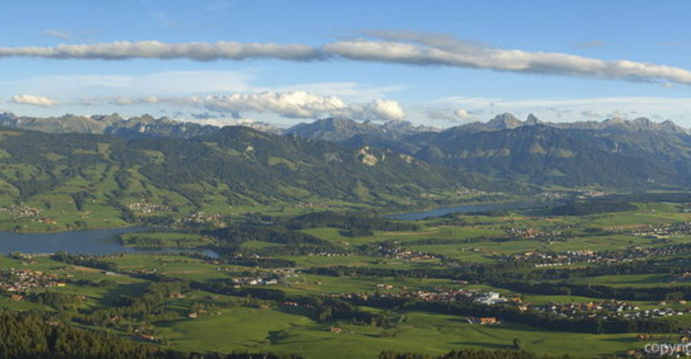
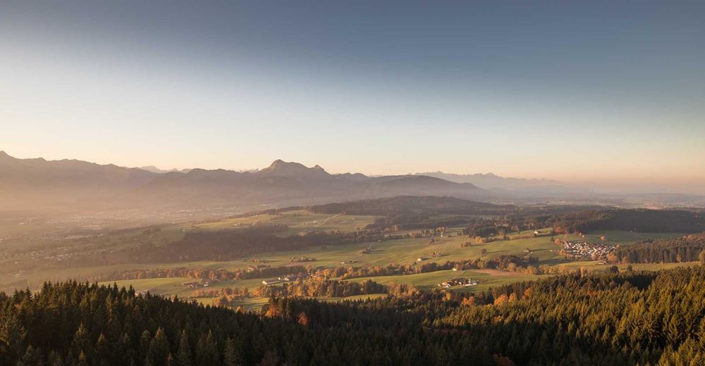
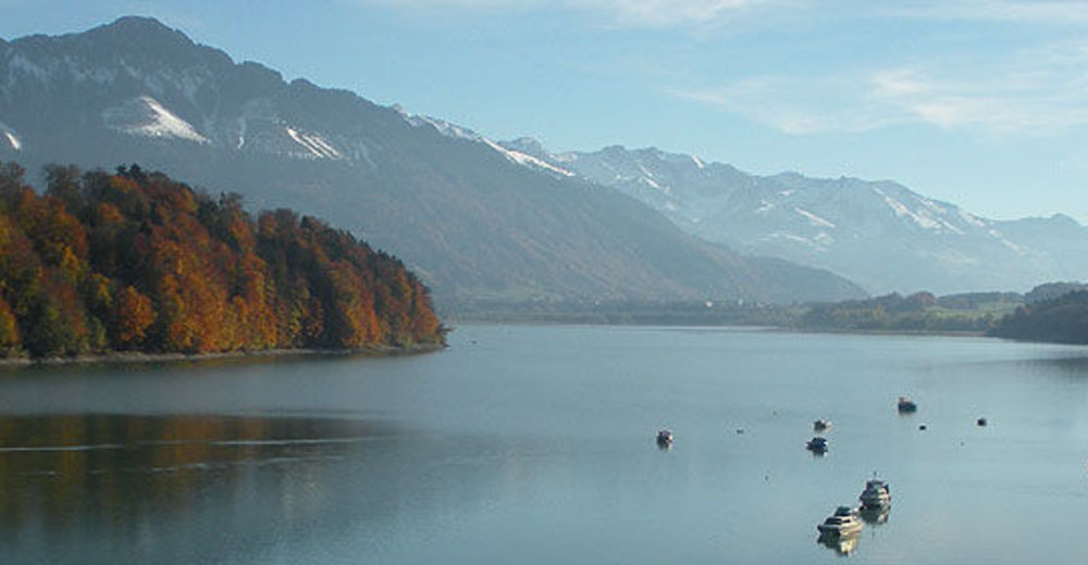
© Unbekannt - Didier Castella

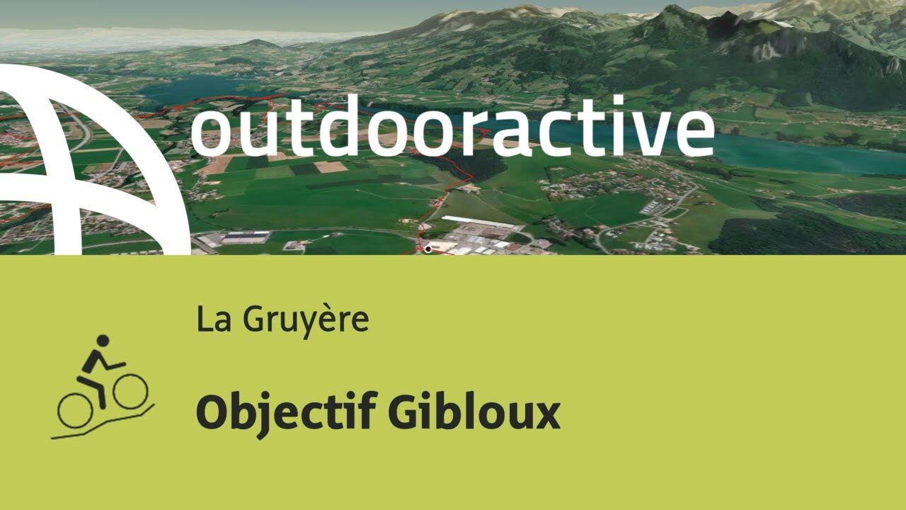
© Outdooractive – 3D Videos
© Unbekannt - Didier Castella
© Unbekannt - Didier Castella
© Unbekannt - Didier Castella


- Brief description
-
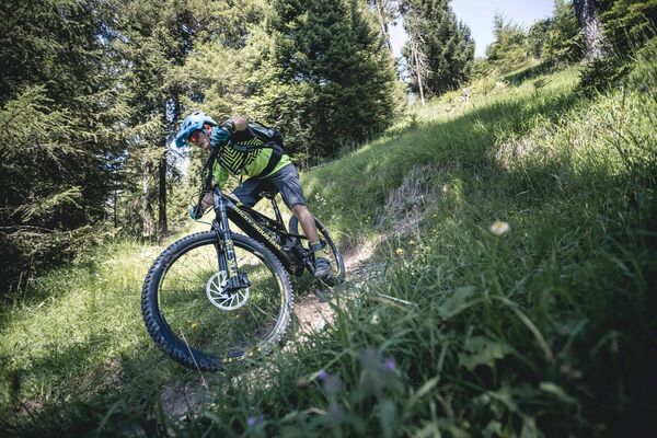
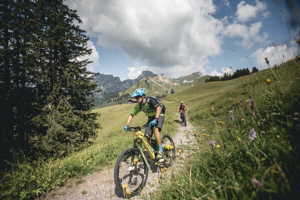
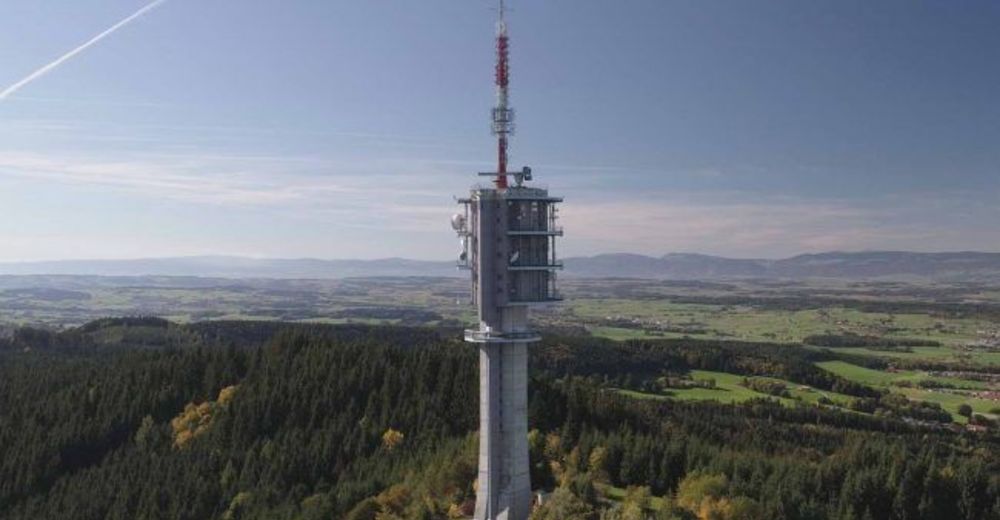
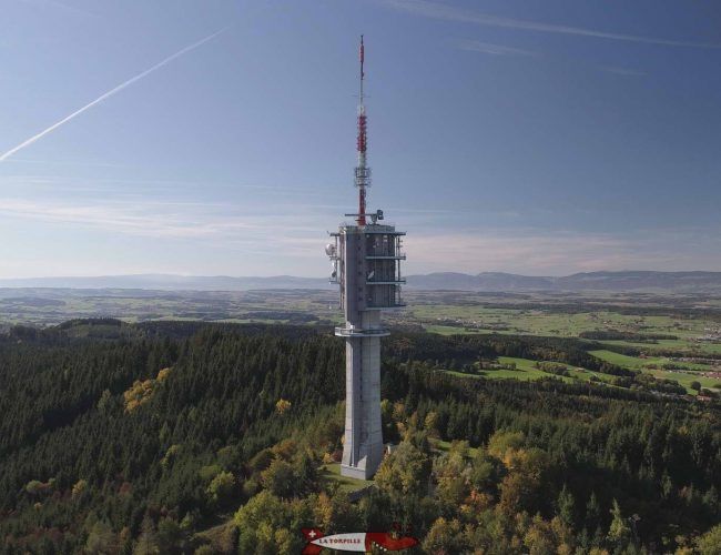
Balade idéale pour les VTT électrique avec comme objectif l'antenne du Gibloux. Principalement sur des sentiers et en forêt, cette sortie est facile et adaptée à tout le monde.
- Difficulty
-
medium
- Rating
-
- Route
-
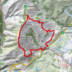
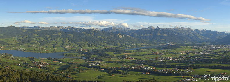
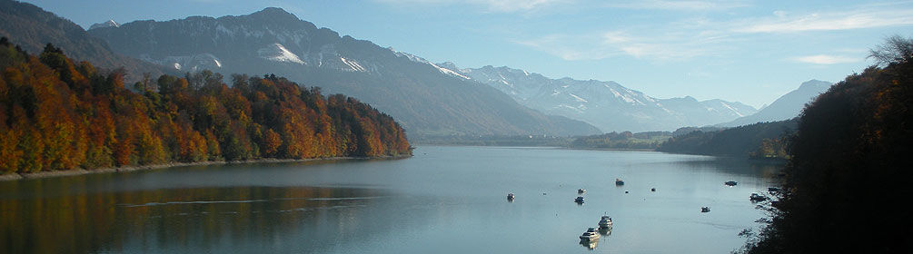
Bulle (771 m)Schärlingen6.1 kmWüppingen10.3 kmMaison-de-Ville10.4 kmSaint-Sulpice10.6 kmPizzeria La Forêt15.7 kmGibloux (1,204 m)20.6 kmMarsing (722 m)29.1 kmSaint-Ignace29.2 kmEglise Saint-Michel31.2 kmZum Rad (726 m)31.2 kmPlaisance31.4 kmBulle (771 m)34.5 kmla Léchère34.6 km
- Best season
-
JanFebMarAprMayJunJulAugSepOctNovDec
- Highest point
- 1,205 m
- Endpoint
-
Castella 2.0, 1630 Bulle
- Height profile
-
 © outdooractive.com

- Author
-
The tour Objectif Gibloux is used by outdooractive.com provided.
GPS Downloads


General info
Refreshment stop
A lot of view
Other tours in the regions
-
Region Murtensee & Broye
41
-
La Gruyère
61
-
Marsens
16