


- Brief description
-
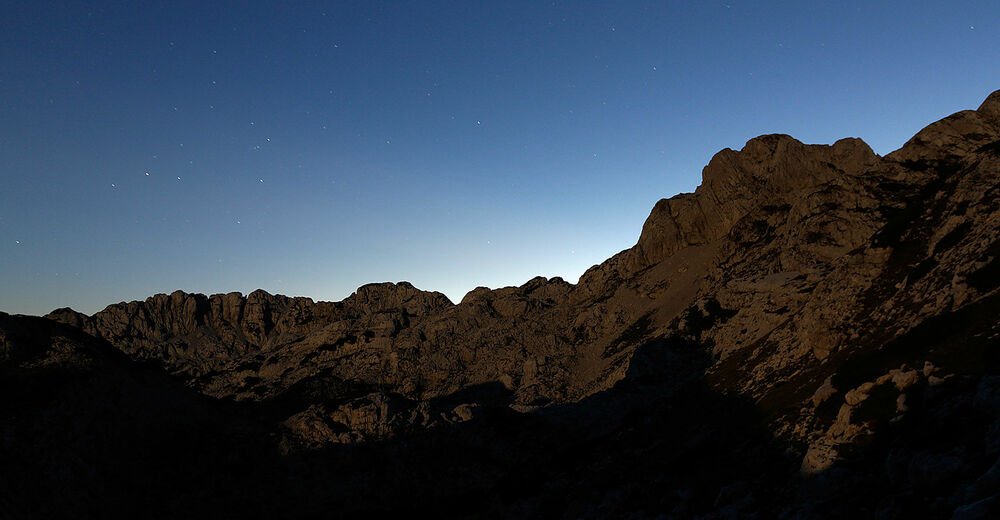
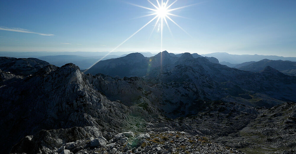
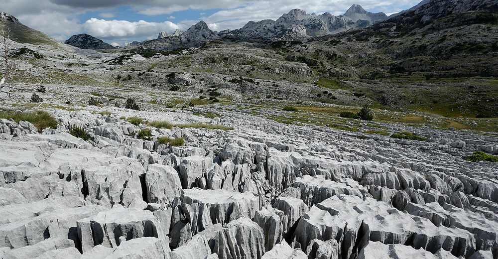
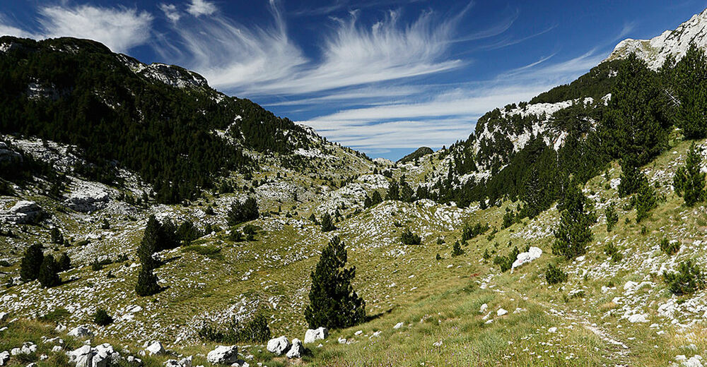
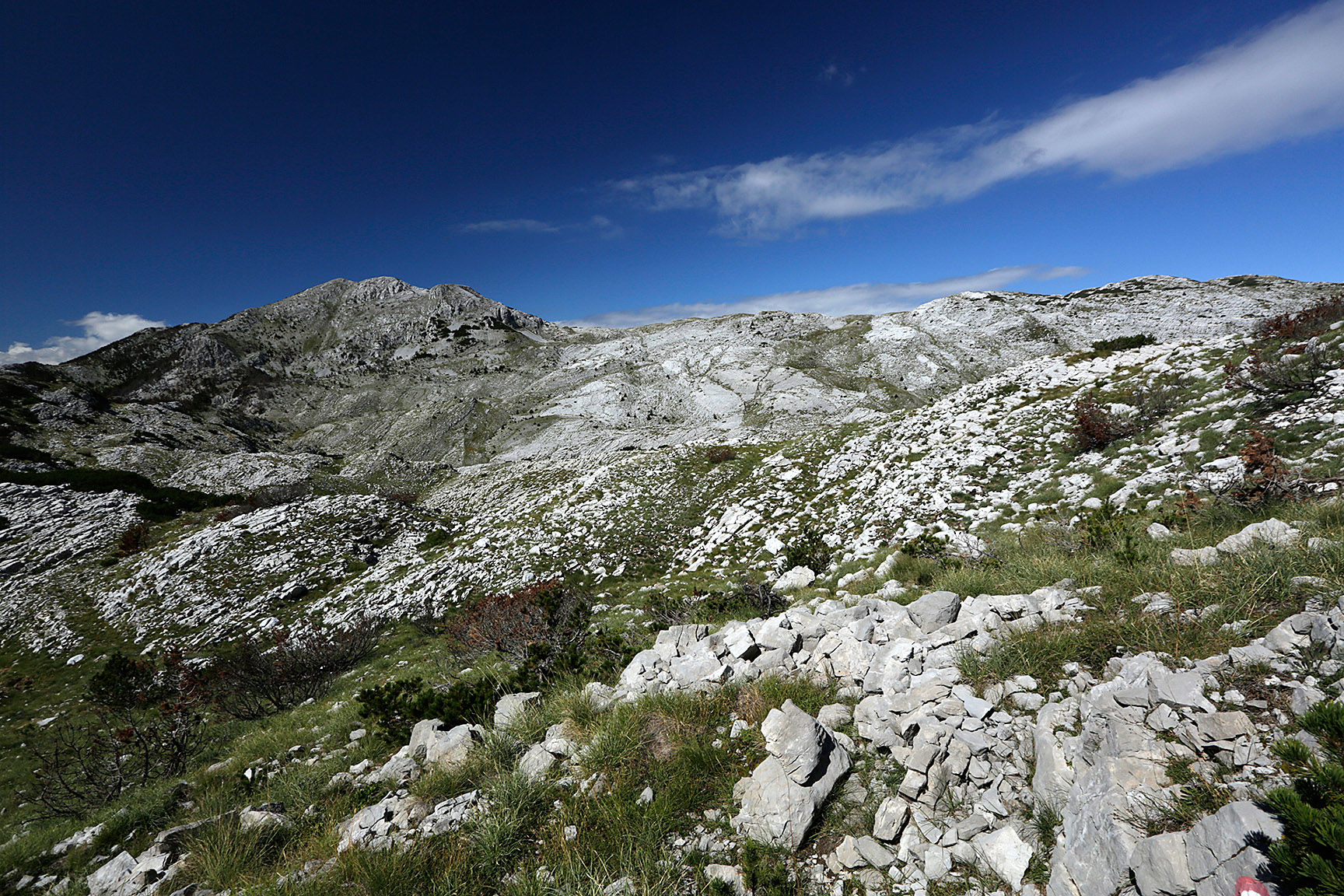
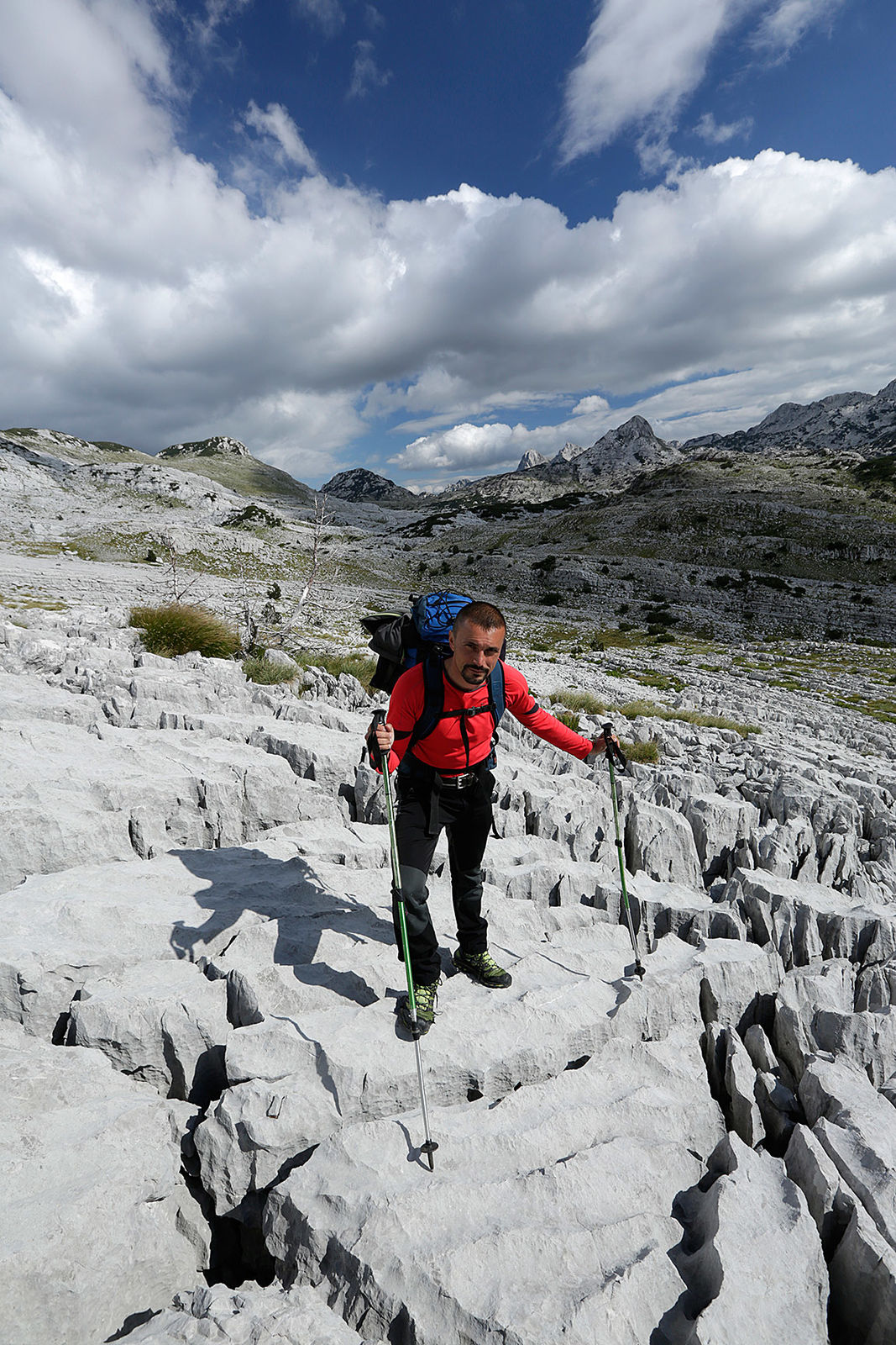
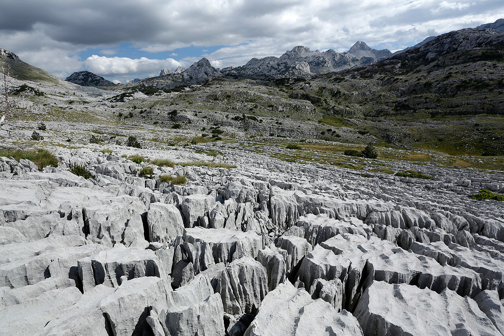
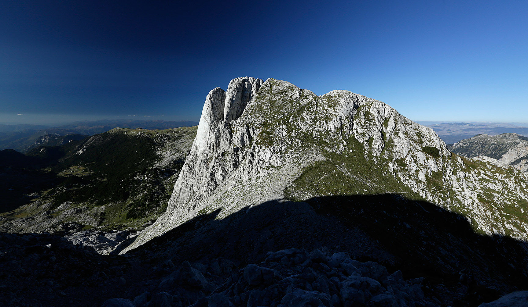
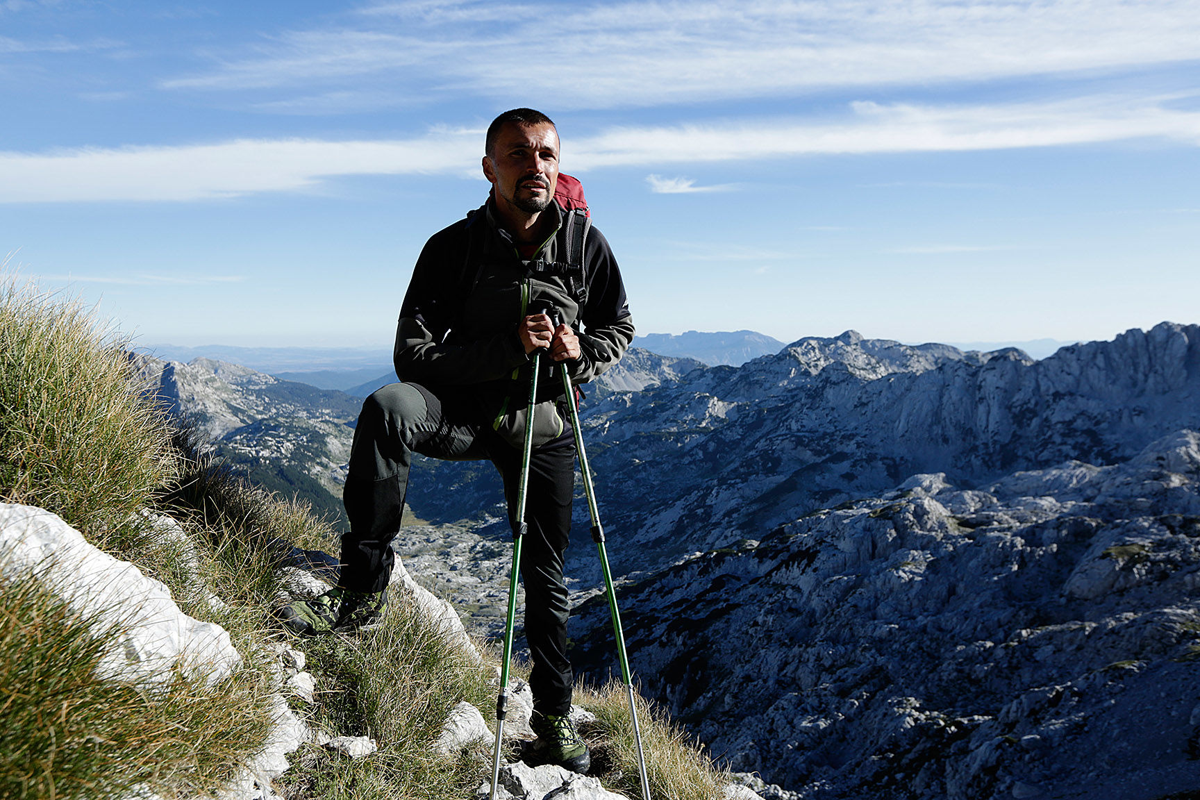
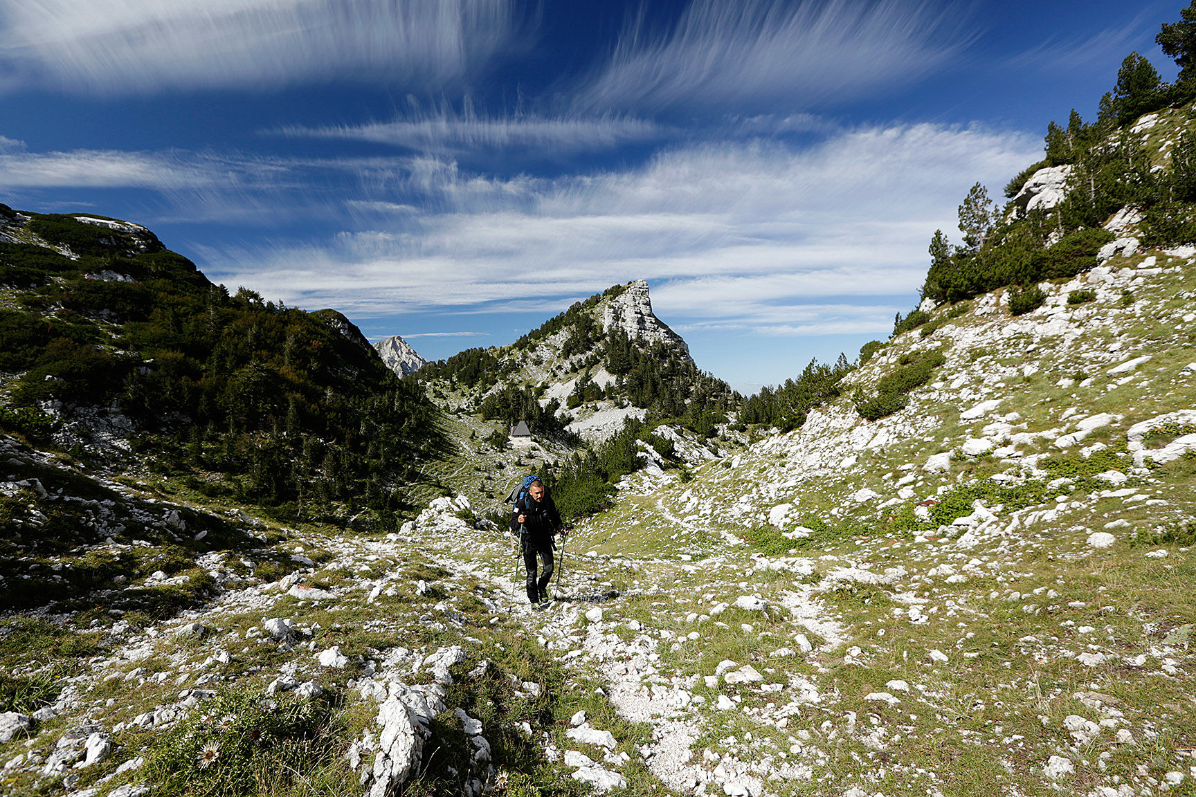
This is an epic hike over one of the most attractive mountains in Bosnia and Herzegovina. Prenj is an adventure including ascents to high peaks and amazing karst scenery.
- Difficulty
-
difficult
- Rating
-
- Starting point
-
Jablanica city, after the Bridge on Neretva
- Route
-
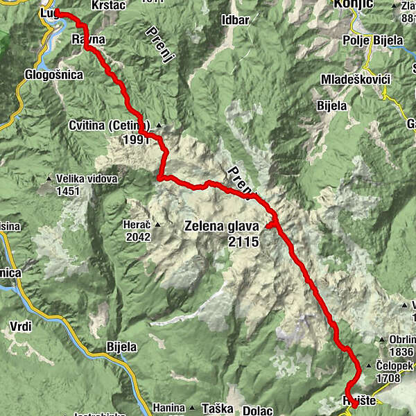
Lug0.2 kmRavna3.1 kmBijela4.2 kmMountain hut Međuprenje9.9 kmGreda11.1 kmPlaninarska kuća Vrutak20.1 kmZelena glava (2,115 m)23.0 kmBielja voda29.8 kmPlaninarska Kuća Ruište36.3 kmRuište36.4 kmIzviđački dom36.5 km
- Best season
-
JanFebMarAprMayJunJulAugSepOctNovDec
- Description
-
This trail crosses Prenj from West to South.
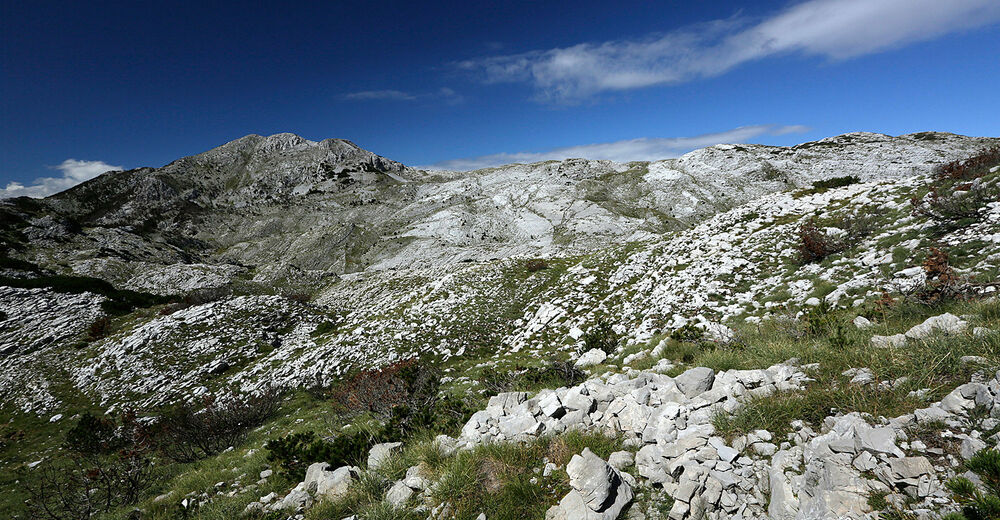
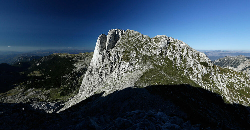
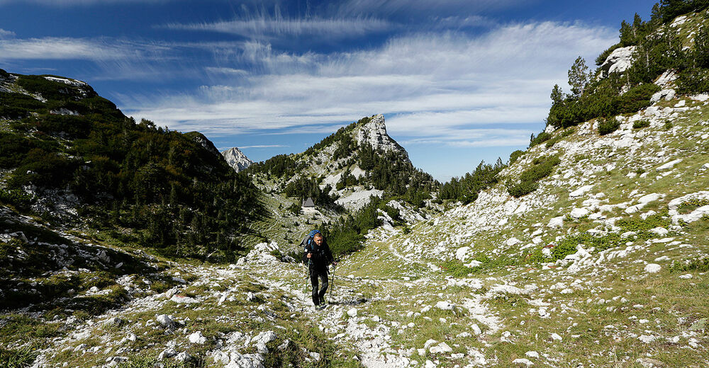
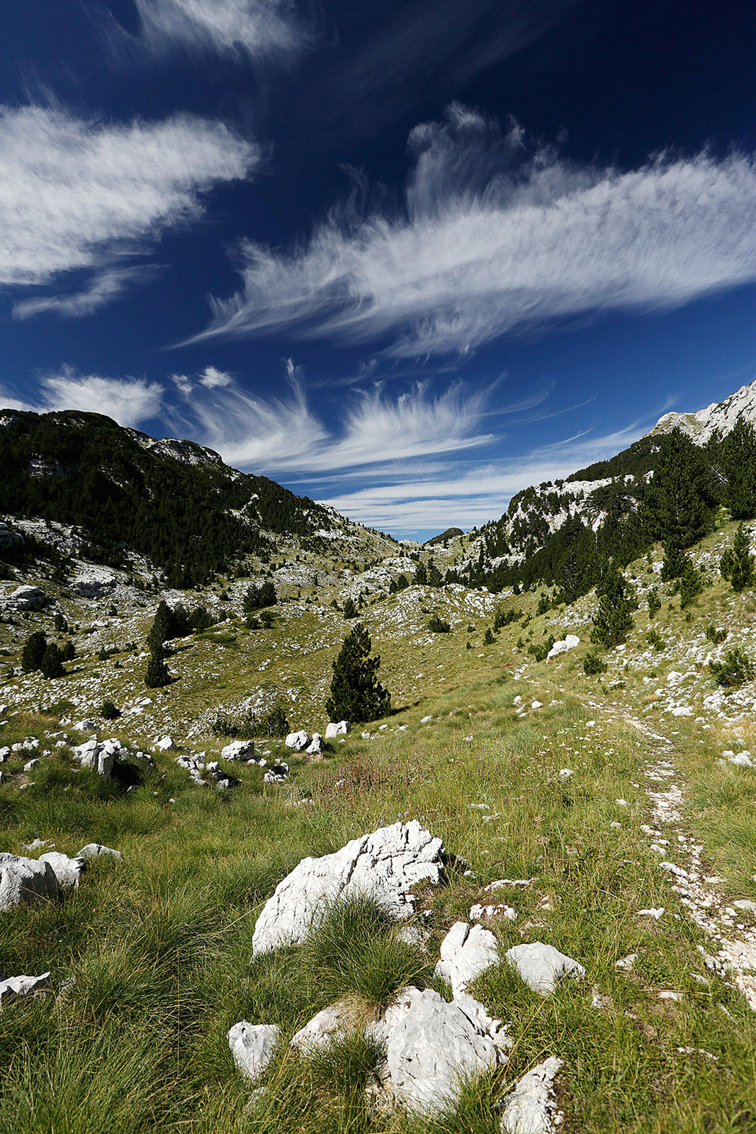
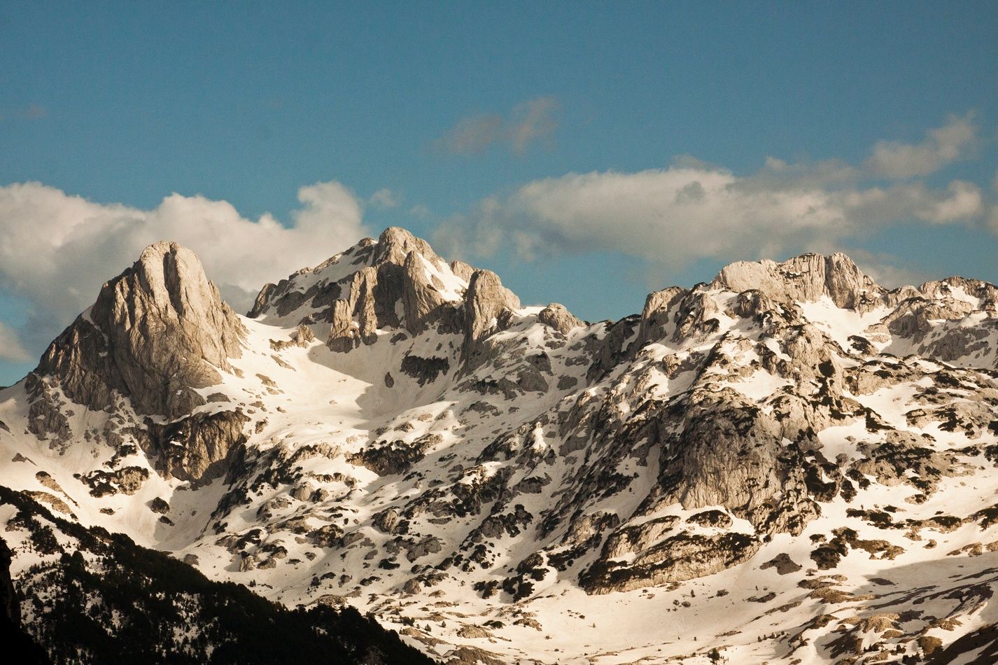
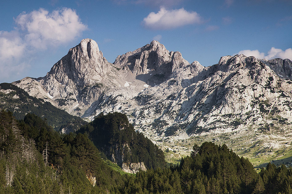
This trail crosses Prenj from West to South. From the city of Jablanica, pass over local hills to the village of Ravna and follow the trail ending on an exposed ridge with great views on Cetina rock face – more than 1000 m high. It continues to a green mountain pass Medjuprenje where there are two mountain huts (one is always open). It continues towards Lucine valley, but turns East over Zakantar, a huge karst plateau and a natural habitat of the endemic Prenj salamander (seen only during the night and rainy weather). Zakantar will end below the amazing Tisovica valley which ends on the slopes of Prenj's highest peaks – Zelena Glava. Half an hour from Tisovica there is another mountain hut called Vrutak. The trail leads across Zelena Glava ( 2155m) and Otis summit ( 2093m), and continues to another valley and further to Bijele Vode ( White waters) where you will find another mountain hut and an old shepherd hut (Katun) which serves as a shelter. From BIjele Vode, the trail descends down towards Ruiste settlement and recreation area. Ruiste is a popular destination for Mostar citizens. There you will find two other mountain lodges, a hotel and a small ski center. From here you can get a lift to Mostar, call a taxi or continue towards Boracko lake.
- Directions
-
Cross the road in Ravna and look for the trail signs leading up to the woods. After joining the trail going to Cetina from Medjuprenje, turn left to take a break at the huts or continue towards Cetina and Greda to the left. On Greda (pass) go right. You'll find a spring at the bottom of the scree slope to the right beneath a rock when descending down towards Lucine. Past the newly built shelter in Lucine, turn left (east). At the next crossing towards Lupoglav summit, you remain on the trail (left, straight). Before the main crossing in Tisovica (you can see signage pole from distance) you'll join a trail going towards Vrutak, so go right there. The trail climbs up to Podotis and close to its highest point there is a crossing where you should go right. The trail to Zelena Glava and Otis will climb to the right and return the same way. If you don't want to climb Zelena Glava, continue straight (south). Keep straight all the way to Bijele Vode and beyond. After a couple kilometers on the old truck road in the woods you can turn to the left over a small meadow, but you can remain on the road as well as it will lead you to the same point. At the ruin look for trail blazings again, and follow it all the way to Ruiste. When you reach the main road again go left.
- Highest point
- 2,064 m
- Endpoint
-
Ruiste
- Height profile
-
 © outdooractive.com
 - Equipment
-
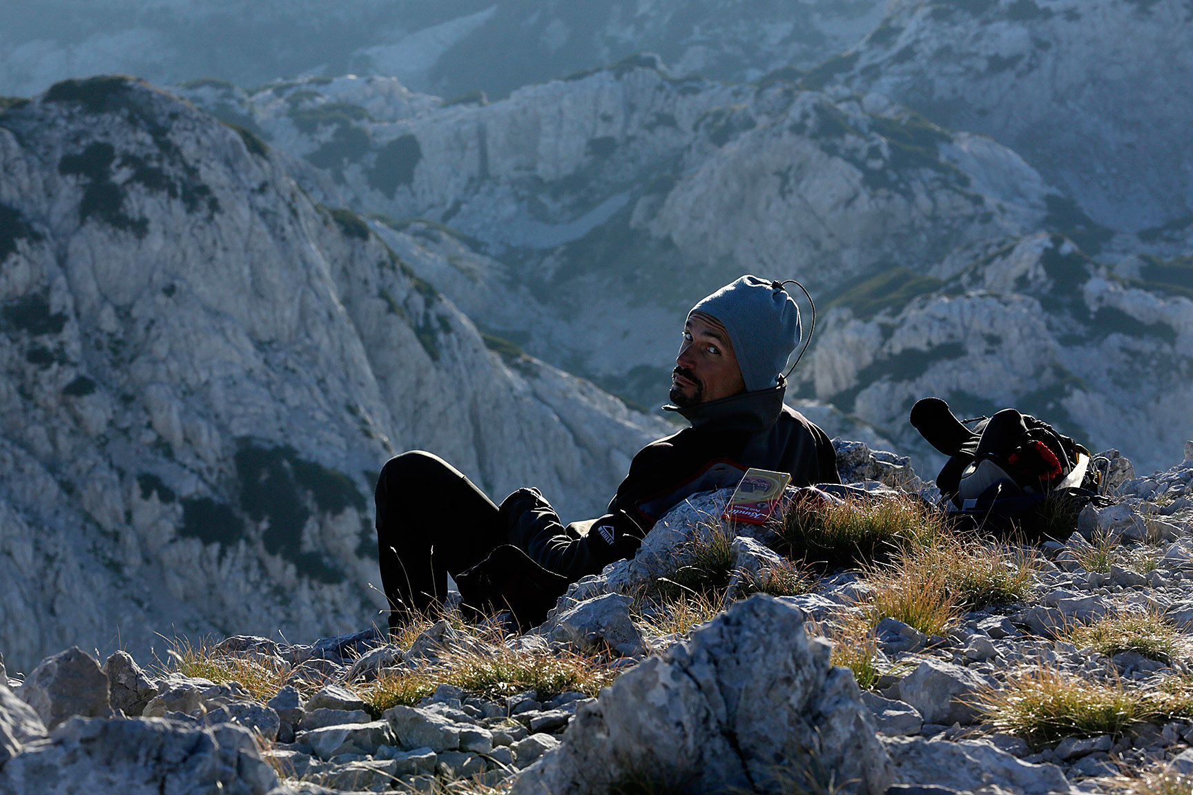
Good boots are a must. Protect yourself from the sun. Though many people drink regularly from the Prenj springs, the usage of water filters on small springs is recommended.
- Safety instructions
-
Some areas of Prenj are still suspected of landmines. This trail is safe; however, it crosses one suspected area of 500 m in length after leaving the road (over the meadow). The trail (and around it) is clear and safe, but you should not wonder around behind the marking signs. If you don't feel comfortable with this, stay on the road until you join the trail again.
Also there are a couple of other places (Zakantar spring and close by Vrutak hut) where landmines are suspected, but the area is cearly marked. Just respect these signs!
Watch for snakes and mind your steps because the terrain is very rocky.
Waether on Prenj is quite unpredictable. It is not uncommon that it snows during the summer and the temperature drops below zero.
121 - Call for Rescue. Also note that part of the mountain are not covered with mobile phone signal.
- Tips
-
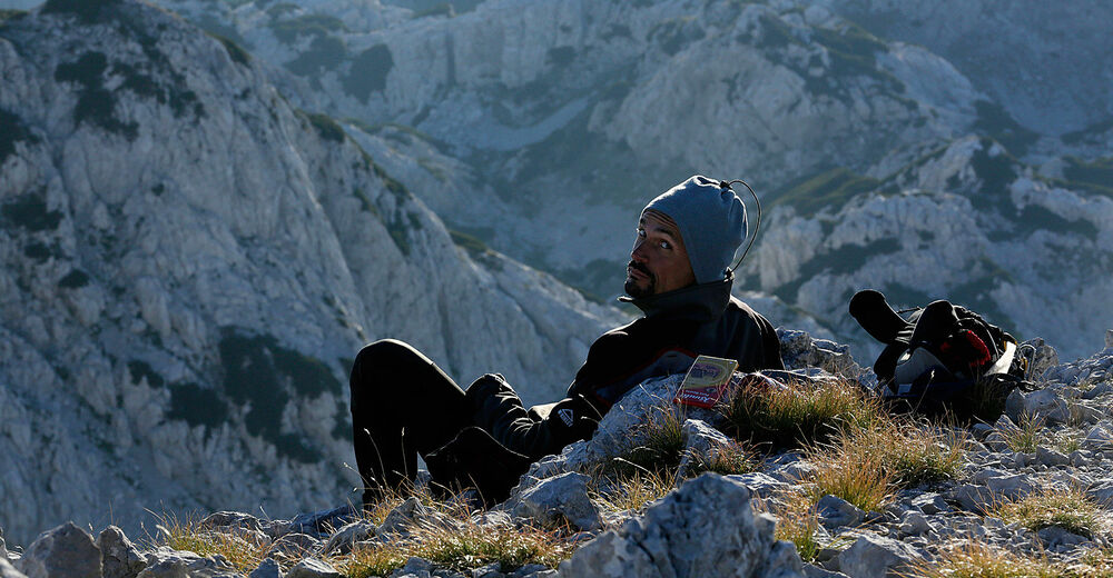
Contact local guides for a great experience. There are many places along the trail worth seeing.
- Additional information
- Directions
-
From the centre of Jablanica walk over the bridge and through the tunnel. The trail starts on the left side after the small bridge.
- Public transportation
-
Several bus lines go through Jablanica to Mostar and Sarajevo direction.
- Parking
-
At the trailhead or in Jablanica city.


-

-
AuthorThe tour Via Dinarica BH-W-06 Prenj Mountain is used by outdooractive.com provided.


General info
-
Herzegowina
51