


- Brief description
-
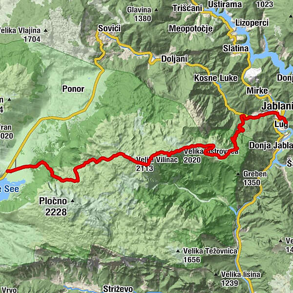
The great hike over Cvrsnica, the highest Herzegovinian mountain. The trail follows Vilinac and Trinjaca ridge and descends to Jablanica city from the Plasa plateau.
- Difficulty
-
difficult
- Rating
-
- Starting point
-
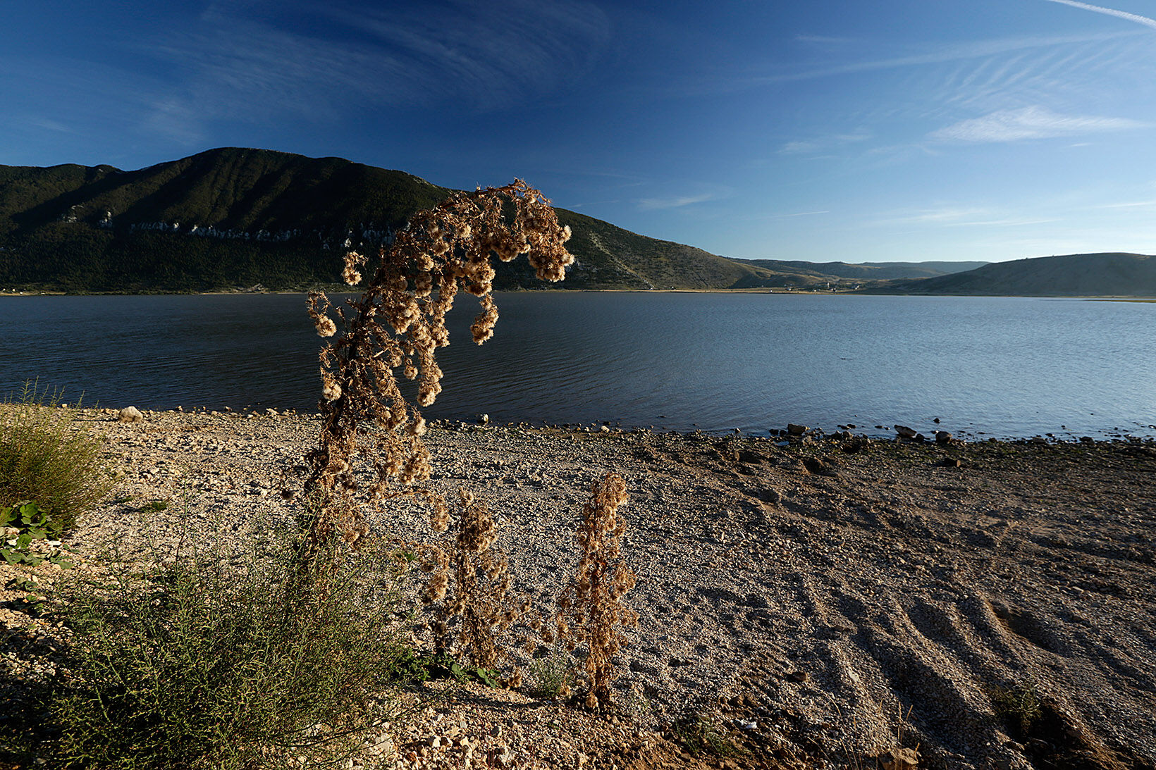
Blidinje Lake
- Route
-
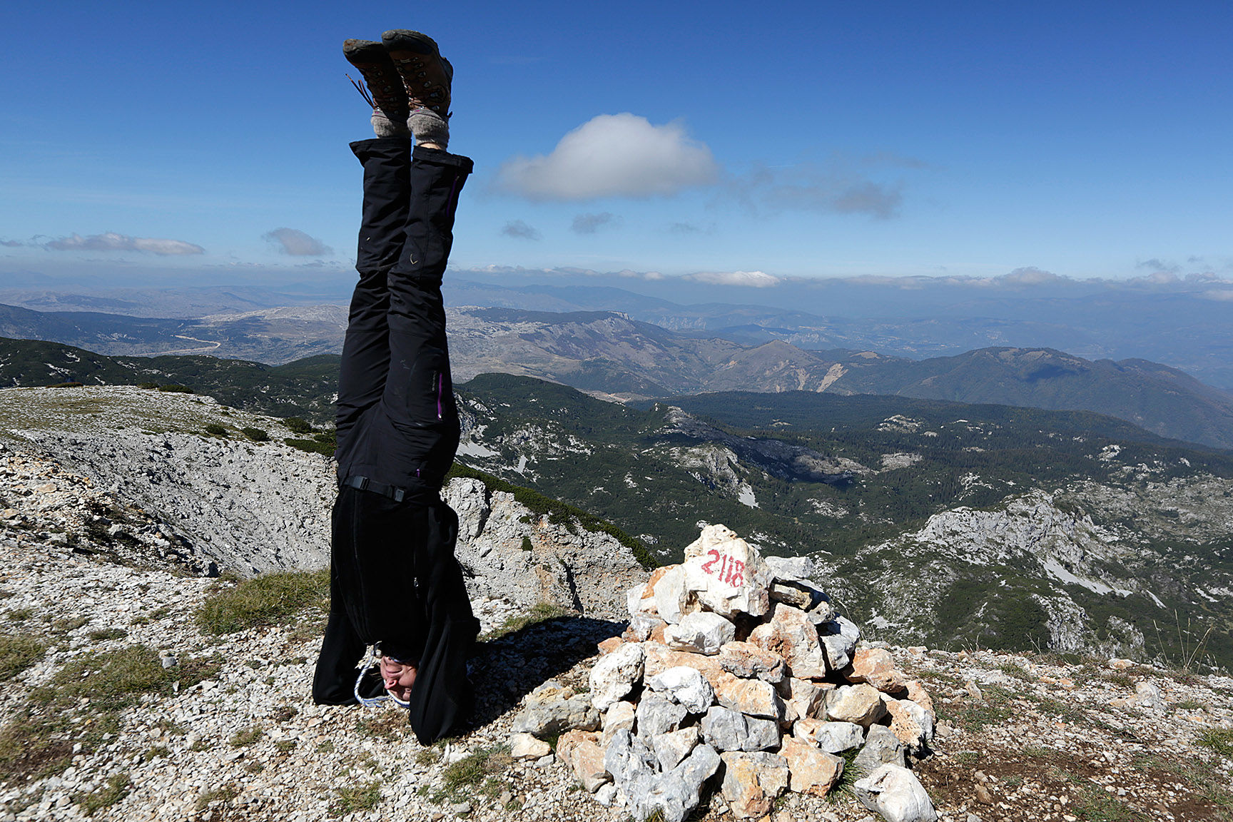
Veliki Vilinac (2,113 m)13.4 kmHajdučka vrata (2,000 m)17.3 kmDrinača / Trinjača (2,038 m)17.6 kmVelika Oštrovača (2,020 m)18.3 kmPl. dom Plasa22.3 kmZlate32.4 kmBaćina33.4 kmJelačići33.8 kmJablanica34.0 kmCaffe Pizzeria Restaurant "Viva"34.7 kmLug35.4 km
- Best season
-
JanFebMarAprMayJunJulAugSepOctNovDec
- Description
-
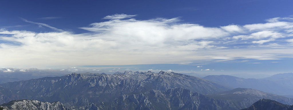
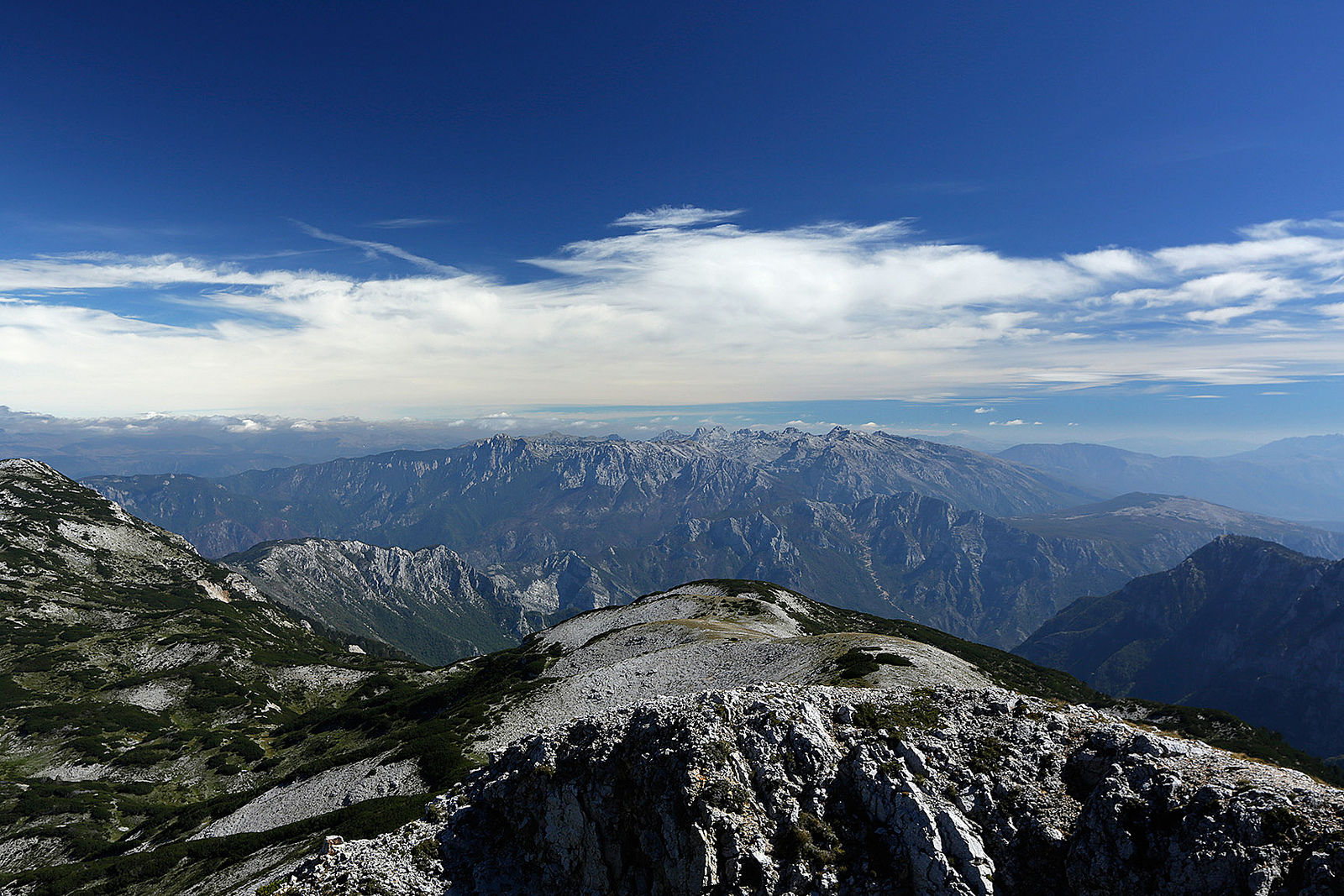
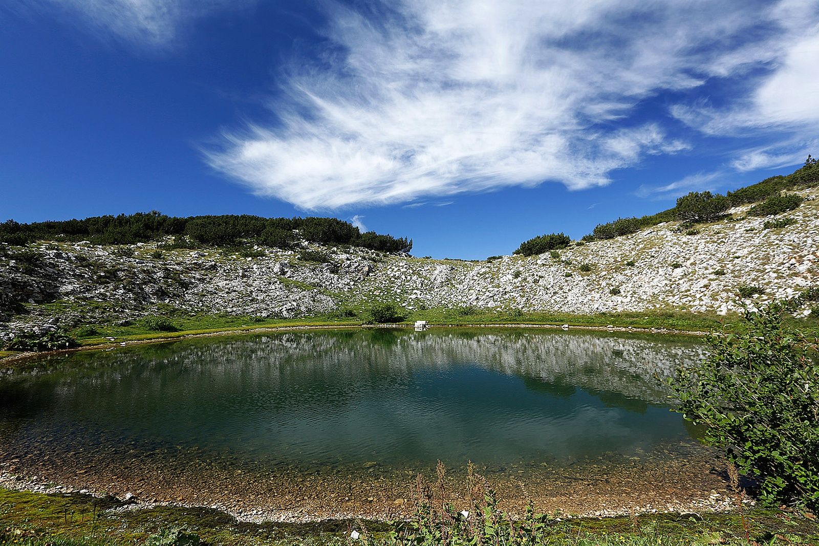
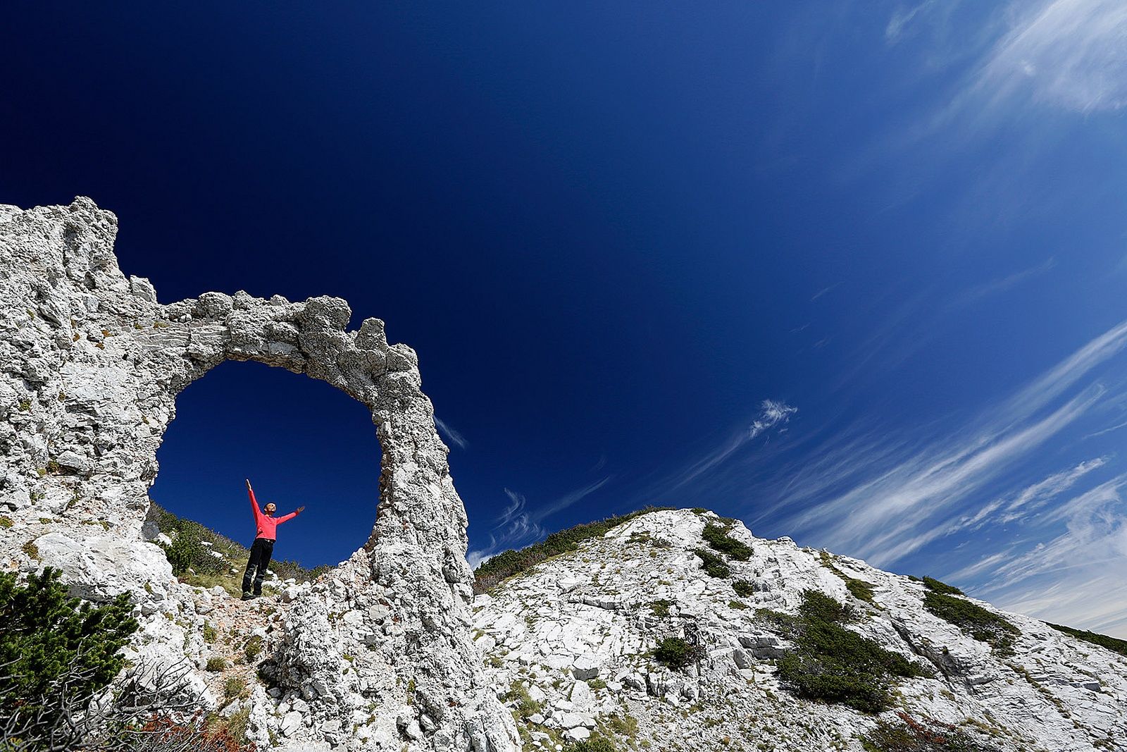
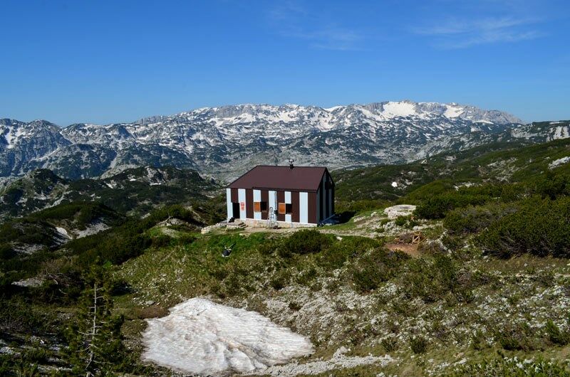
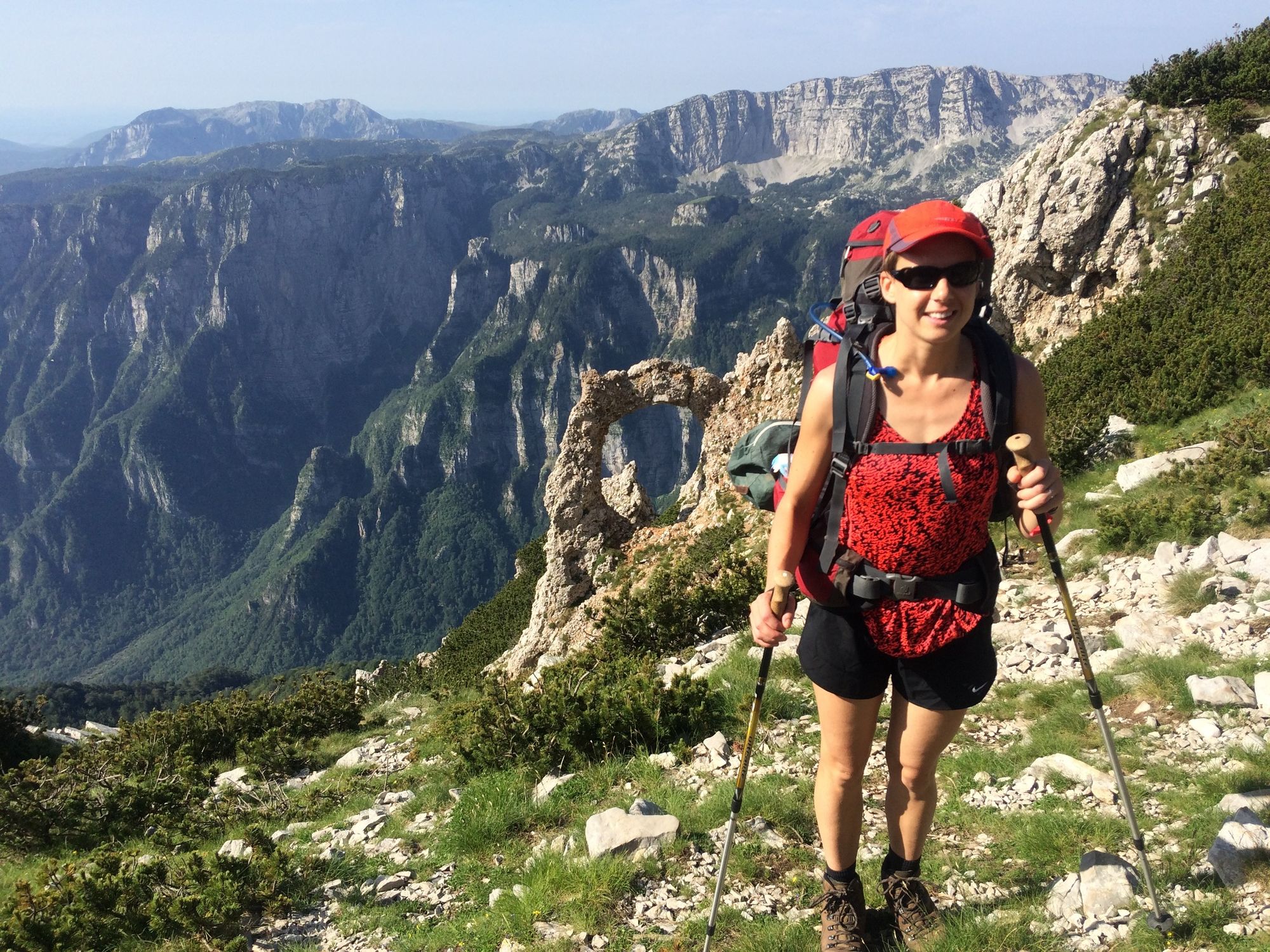
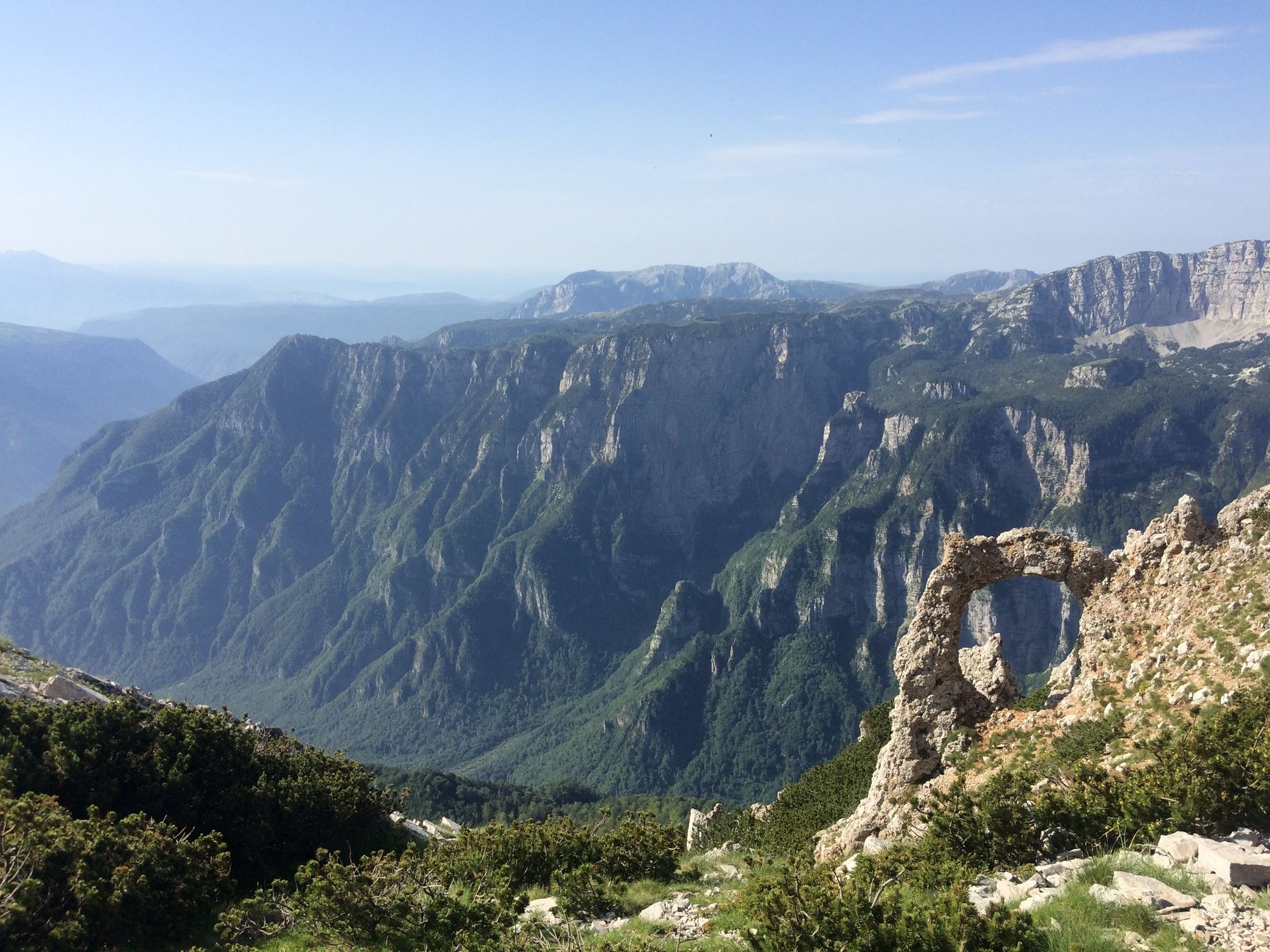
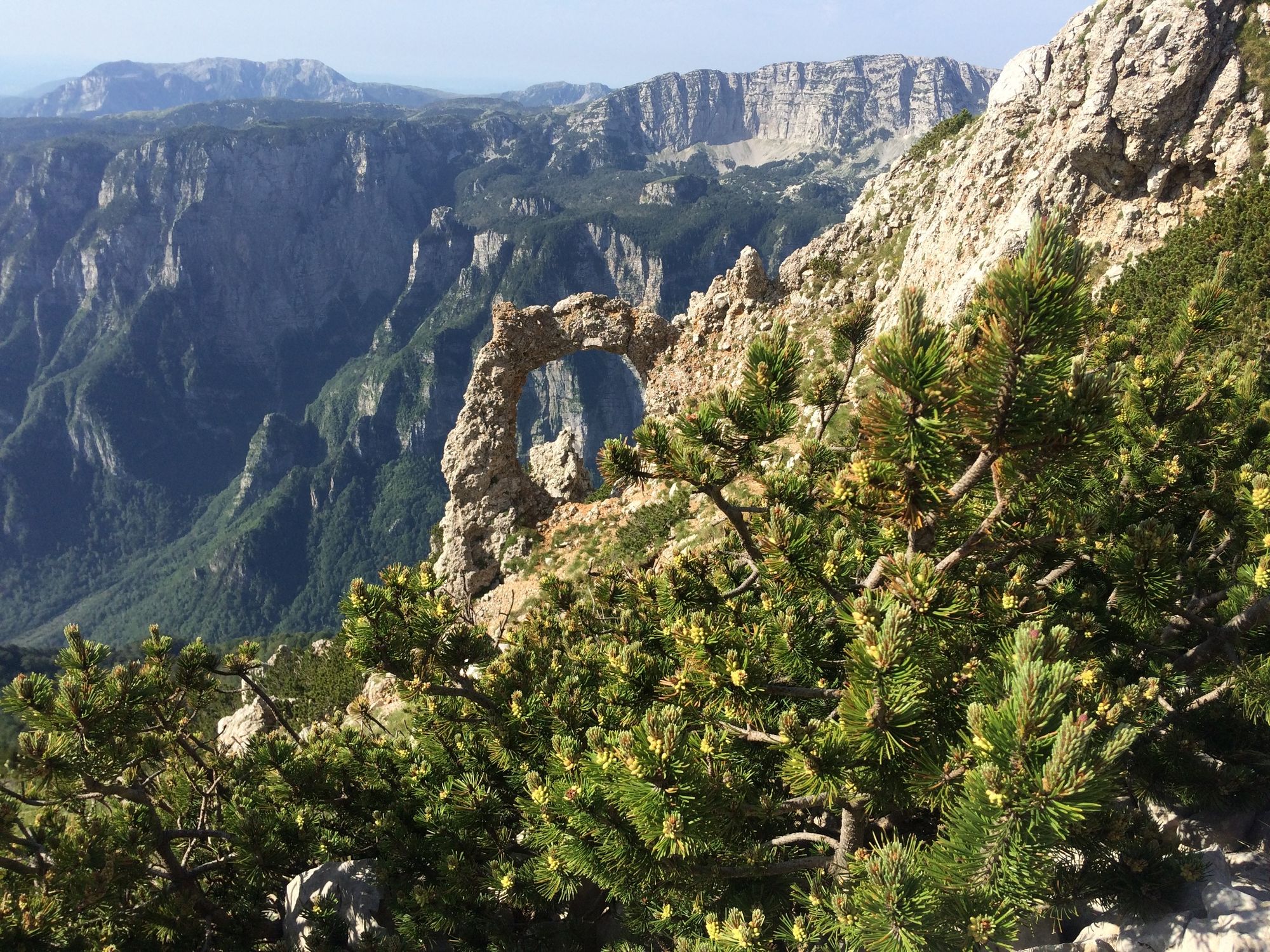
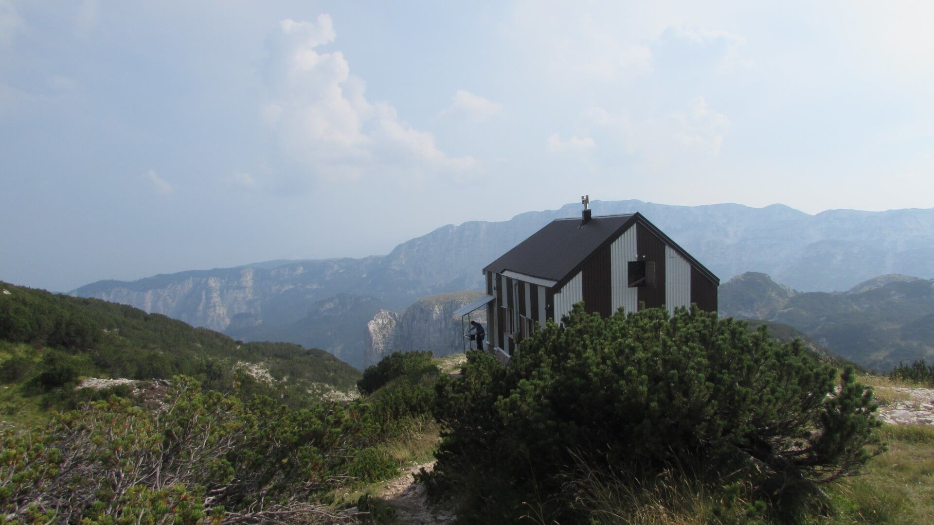
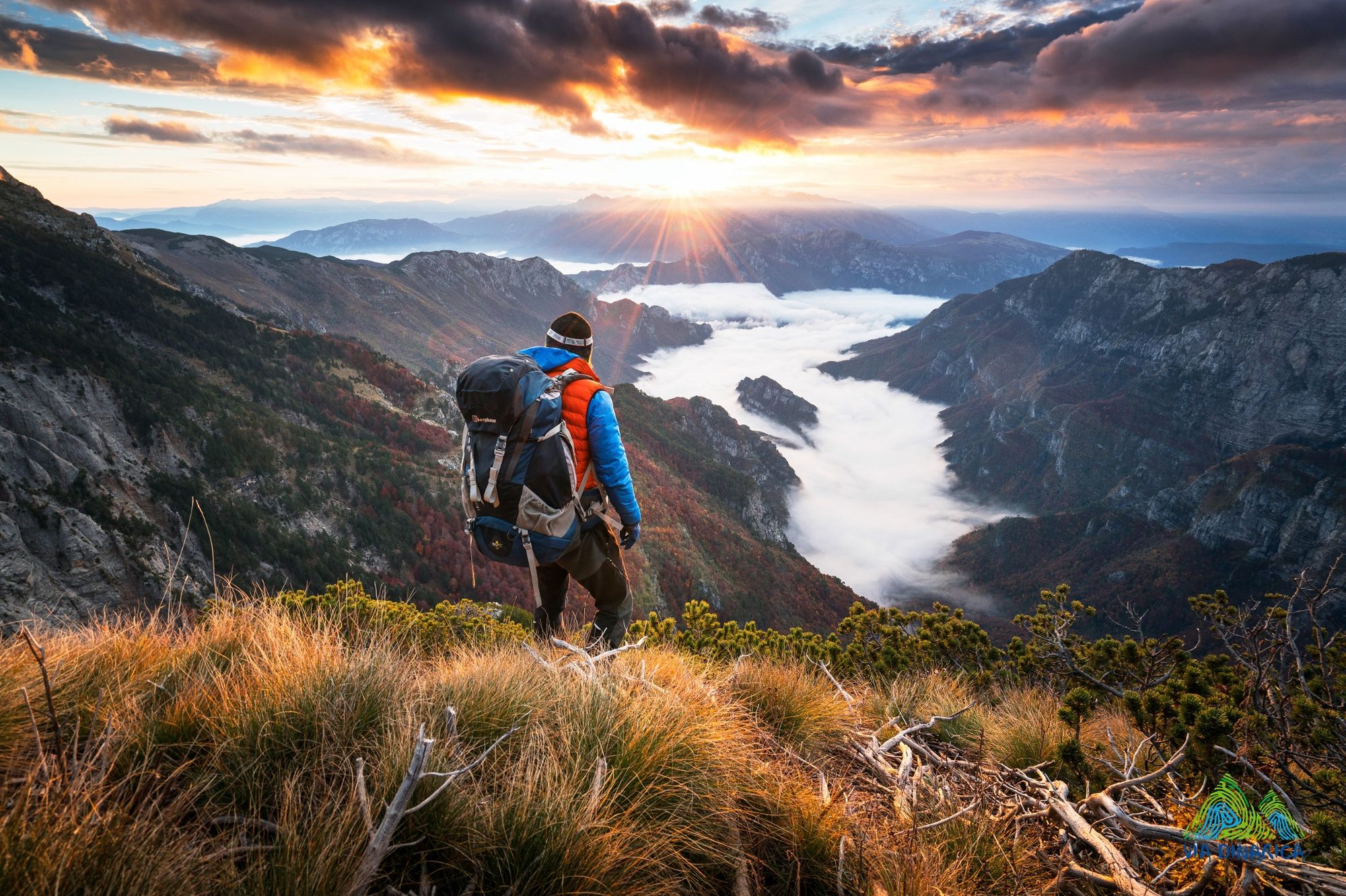
Cvrsnica is one of the most beautiful mountains in Bosnia and Herzegovina, and definitely one of the highlights of the Via Dinarica. It hosts the most elevated mountain lodge along the entire Via Dinarica– Mountain hut Vilinac located at 1964 masl, as well as a couple of small lakes and a glorious rock eye Hajducka Vrata (Rebel’s Gate). The tour offers great views on Vran mountain, Plocno summit, Pesti brda, Diva Gragovica valley and Doljanka valley as well. Exluding the end point, the trail goes through pristine mountain wilderness, beginning in endemic munika pine forest and traveling through alpine scrub habitats for most of the remaining tour.
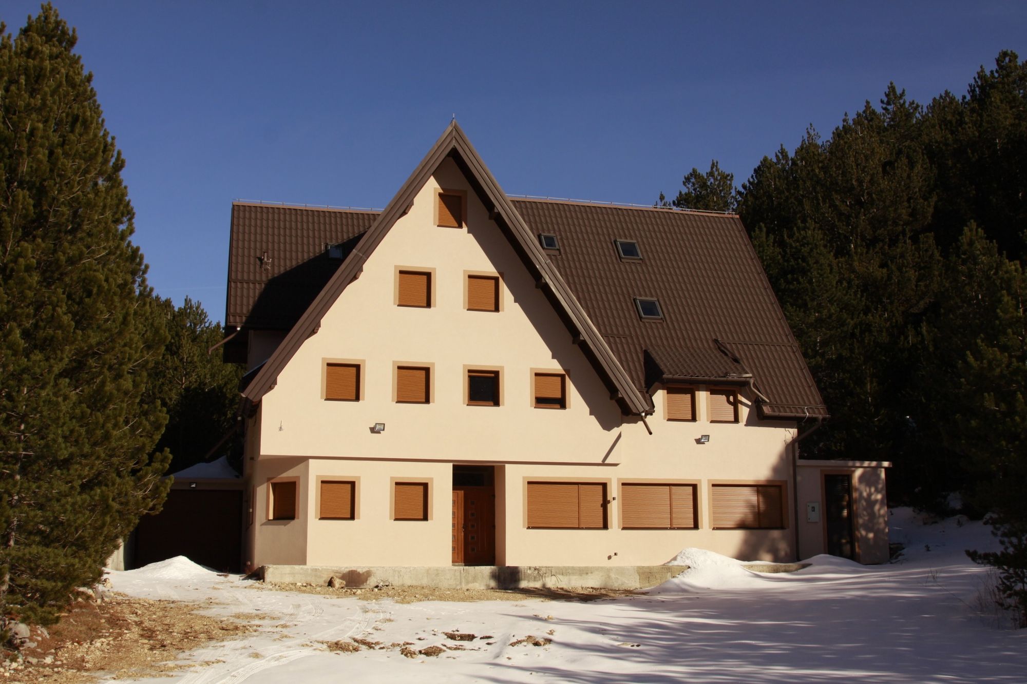
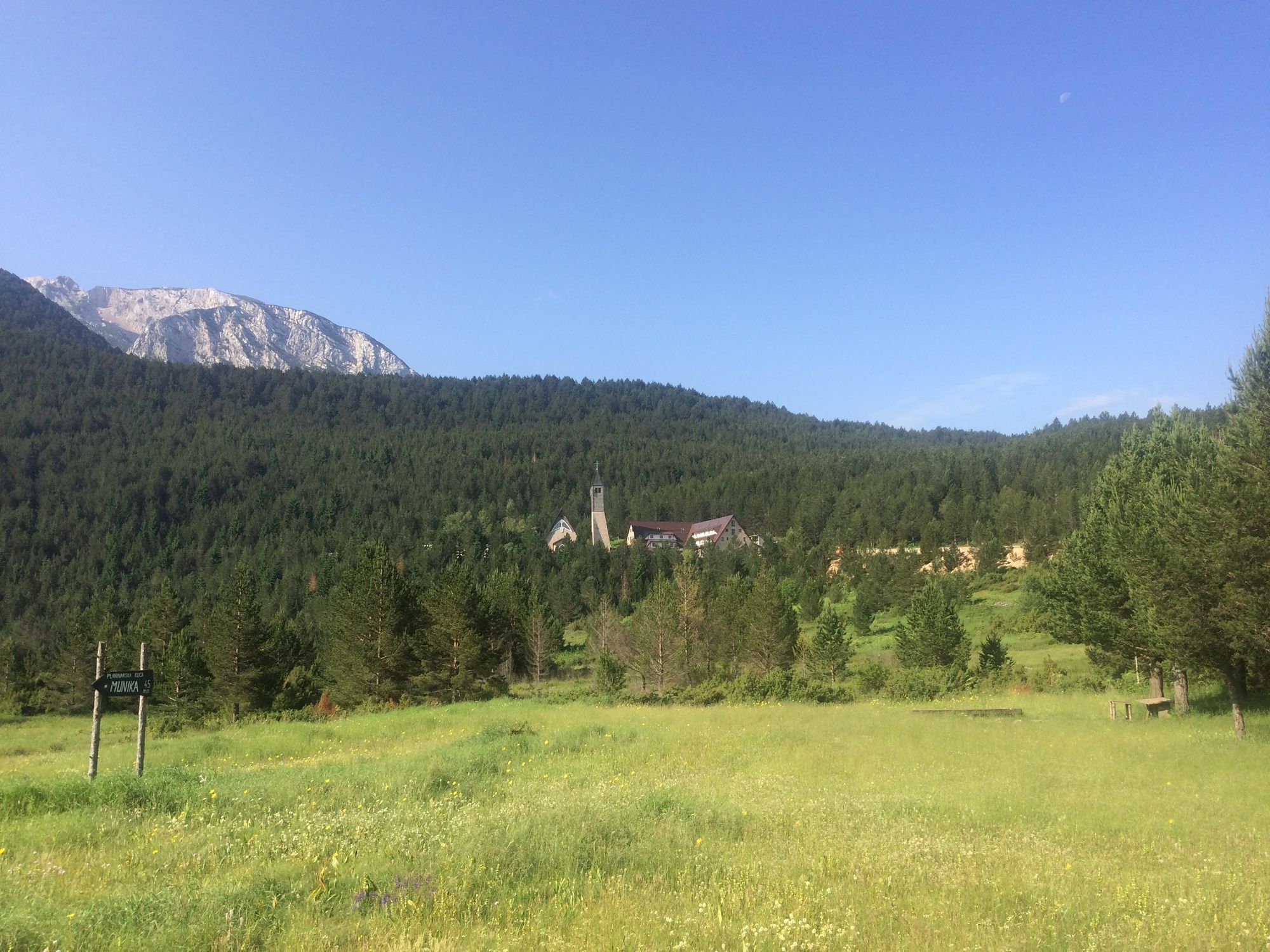
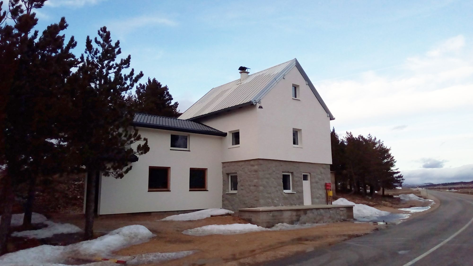
It starts from the Blidinje Lake, close by a newly built mountain lodge of the same name. Accommodation is available at this place. All bottles should be filled here, as the rest of the mountain is not so rich in water.
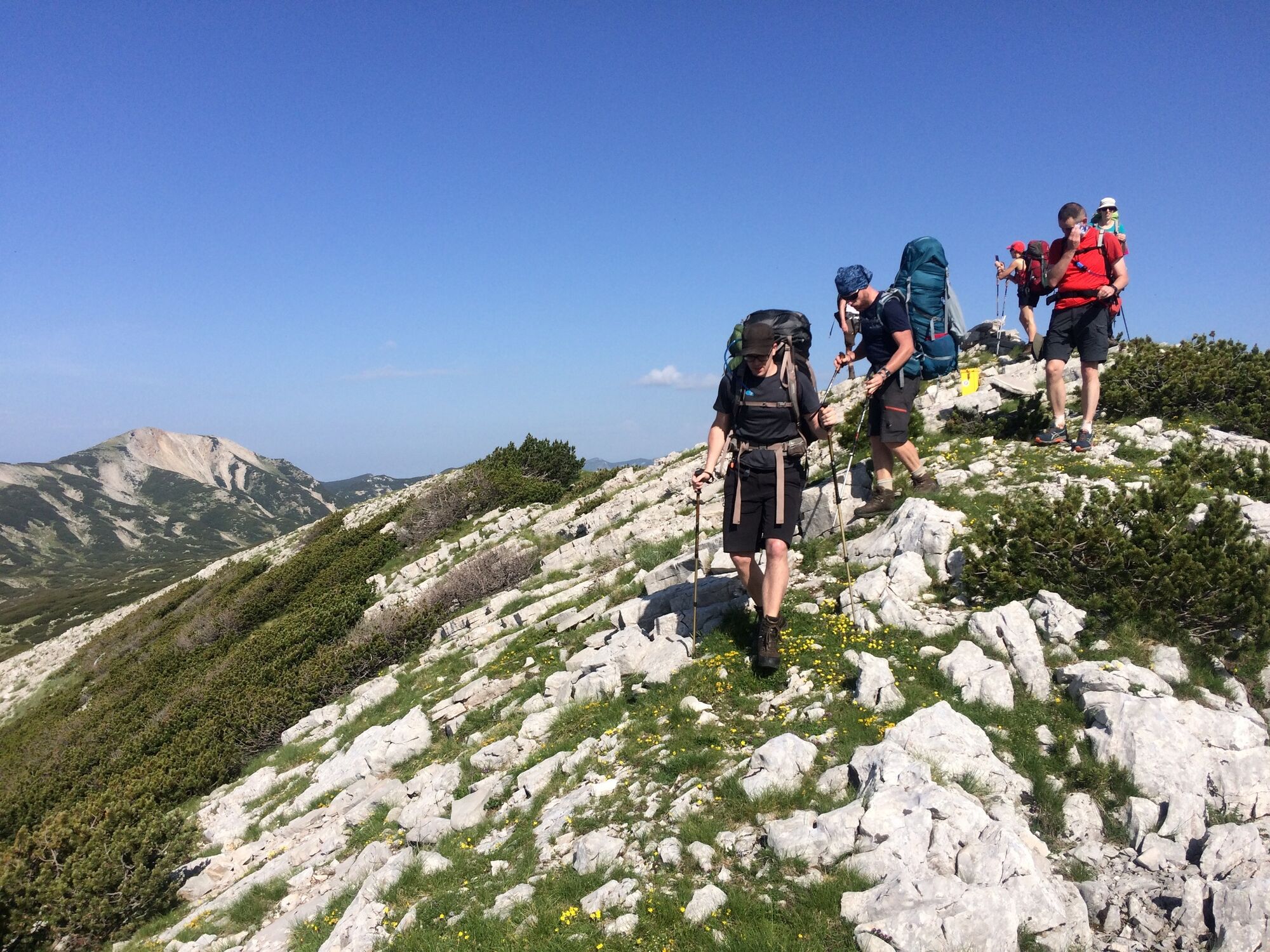
The first part of the tour goes through young munika (Pinus heldreichii - endemic species of pine) forest and some beech at the end of the forest belt. Highland landscapes are dominated by alpine scrub and carpets of dwarf-pines (Pinus mugo). Further into the second part on Plasa mountain, there are also tame alpine meadows.
Trail runners and light and fit hikers can complete this stage in one long day. However, it is nice to take your time and fully enjoy the mountain over two or even tree days of hiking. The nights can be spent in Vilinac or Plasa mountain huts. The view point close by Vilinac hut is spectacular.
Other highlights include the Great Vilinac summit at 2117 m (Veliki Vilinac), Crvenjak lake, Hajducka vrata, Trinjaca peak 2045m, and Plasa. Summits and huts are also under the authority of High Herzegovina Mountain Transversal.
Water can be found in only a few places, so note that you will need to refill at each of them. Most of the hiking is pleasant, with not such steep ascents and altitude loses; nevertheless it can be hot in windless summer days.
The descending part is unfortunately not as interesting as the hike over the mountain, as it follows old forest roads till it reaches asphalt that brings you to Jablanica city through its quarters. It is possible that in the future, some old hunting trails will be re-established and the trail will descend directly to Jablanica.
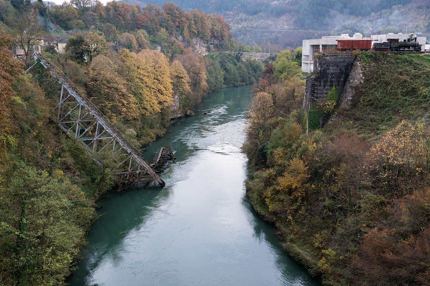
Jablanica city is of course the main place to re-suply, but also to visit sites such as a museum of the fabulous Neretva Battle of WW2, the fallen bridge and to taste famous lamb on spit – a great treat after a great hike!
- Directions
-
From the spring follow the trail into the forest. The first crossing will be after the forest, and there you should turn left. The next one will be also left.
After crossing a scree slope and approaching the Great Vilinac, the next turn should be right towards the Great Vilinac, while Little Vilinac remains on the left.
Follow the ridge of Great Vilinac to saddle Prigon. The mountain lodge is a couple hundred meters below on the right, but the trail continues left to the other side. It is recommended to visit the lodge (Vilinac hut) and take a trail vie the view point, which will bring you back below Prigon. The next crossing is just a couple hundred meters ahead, and from there you go right.
At the Hajducka vrata (Rebel’s gate), you need to continue straight up to Trinjaca summit and not descend down to direction of Diva Grabovica valley.
At Plasa hut you’ll go east and the trail will bring you to the 4x4 road. Follow this main road and disregard the less used branches off it. If in doubt, turn left. There will be one junction, and there you should turn left. The water source on the descending way is marked by a signboard. The road will pass by Jablanica’s landfill (not a nice place after Cvrsnica, but only option at the moment) and soon the asphalt road will be reached.
After a couple of kilometers you arrive to Jablanica. There is a big curve, as the main road turns left. At this point you just cross this road and go straight, then right at the T crossing where this smaller street brings you. Follow the road to the cemetery and look for the path in the bush and trees on the left side opposite of the cemetery. Follow the path which brings you to the stairs, descend and you are at Jablanica main road. Musem is just behind the fuel station.
The next head of the next stage of the trail is on the other side of the river Neretva, after the tunnel.
- Highest point
- 2,097 m
- Endpoint
-
Jablanica city
- Height profile
-
 © outdooractive.com
 - Equipment
-
Standard hiking equipment.
If you book your place and food in the mountain huts, it is possible to hike this tour just with the daily pack and enough water.
- Safety instructions
-
Consider that this tour goes trough remote wilderness. Mind your step on difficult terrain and watch for snakes when reaching with your hands or sitting on the grass in the shade.
The mountain rescue service is reached by calling 112.
- Tips
-
Take at least two days for this stage. It is worth it! Book your place in Vilinac mountain hut and enjoy a sunset and sunrise at the view point in the vicinity.
- Additional information
- Directions
-
From Jablanica: follow signs to Posusje and Motel Hajducke Vrleti (left in the city on the way to Prozor-Rama)
From Tomislavgrad: to Blidinje from round about (via Mandino selo)
From Posusje: to Blidinje - right up from the centre of city
When in Blidnje Nature Park follow signs to Masna Luka or hiking signs from Hajducke Vrleti or Blidinje lake.
- Public transportation
-
Taxis or buses to Blidinje can be arranged in Mostar, Posusje, Tomislavgrad and also Jablanica.
There is a bus station at the arrival point with several lines from/to Mostar, Konjic or Sarajevo.
- Parking
-
close to trailhead.

-

-
AuthorThe tour Via Dinarica BH-W-05 Čvrsnica mountain is used by outdooractive.com provided.


General info
-
Herzegowina
51